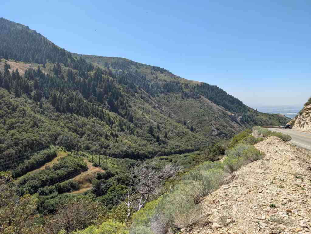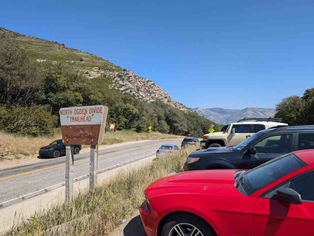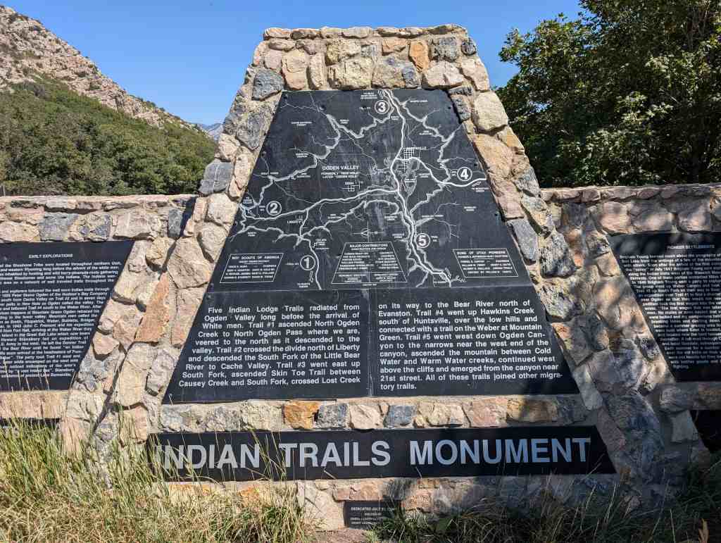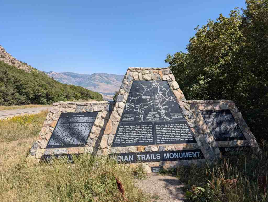
Indian Trails Monument
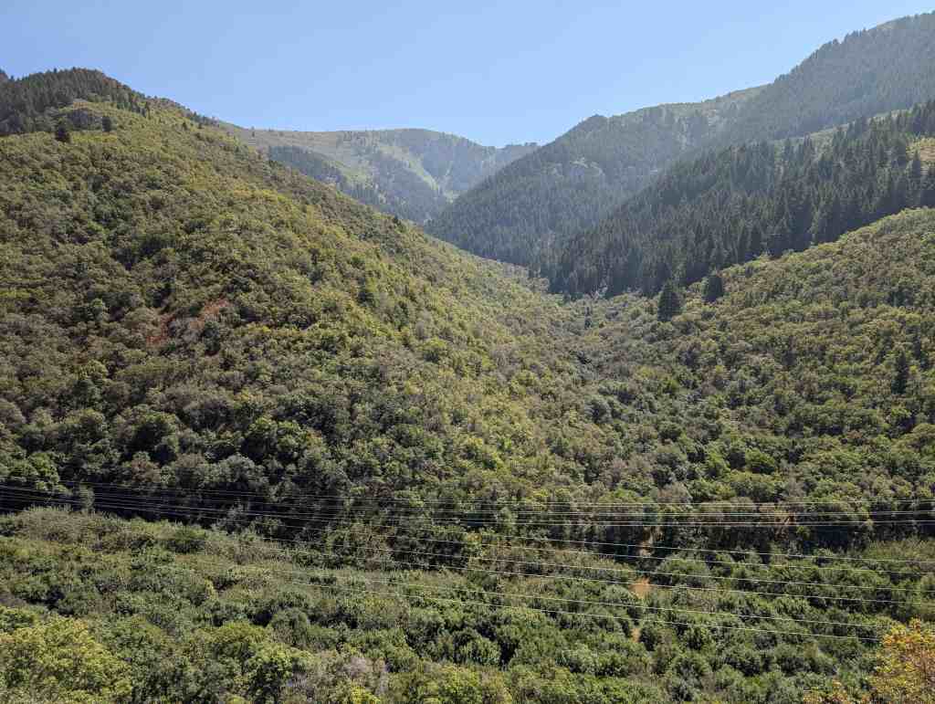
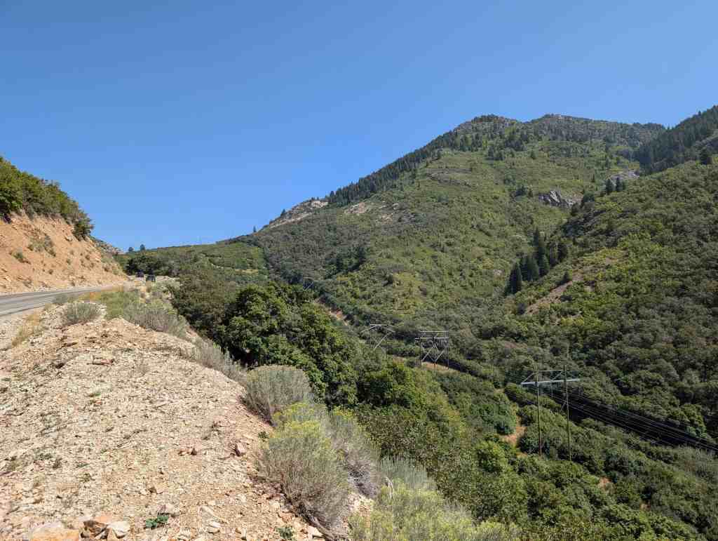
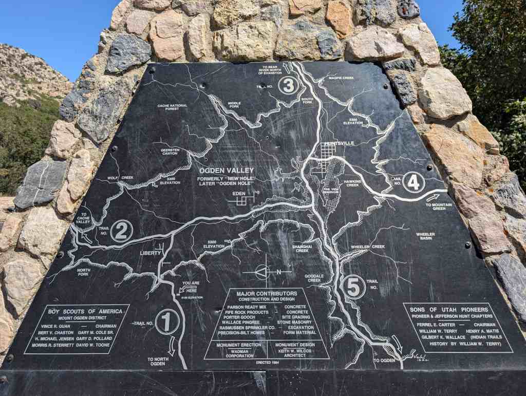
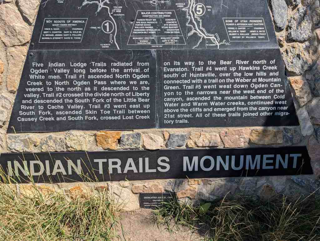
Five Indian Lodge Trails radiated Ogden Valley long before the arrival of White men. Trail #1 ascended North Ogden Creek to North Ogden Pass where we are, veered to the north as it descended to the valley. Trail #2 crossed the divide north of Liberty and descended the South Fork of the Little Bear River to Cache Valley. Trail #3 went east up South Fork, ascended Skin Toe Trail between Causey Creek and South Fork, crossed Lost Creek on its way to the Bear River north of Evanston. Trail #4 went up Hawkins Creek south of Huntsville, over the low hills and connected with a trail on the Weber at Mountain Green. Trail #5 went west down Ogden Canyon to the narrows near the west end of the canyon, ascended the mountain between Cold Water and Warm Water creeks, continued west above the cliffs and emerged from the canyon near 21st street. All of these trails joined other migratory trails.
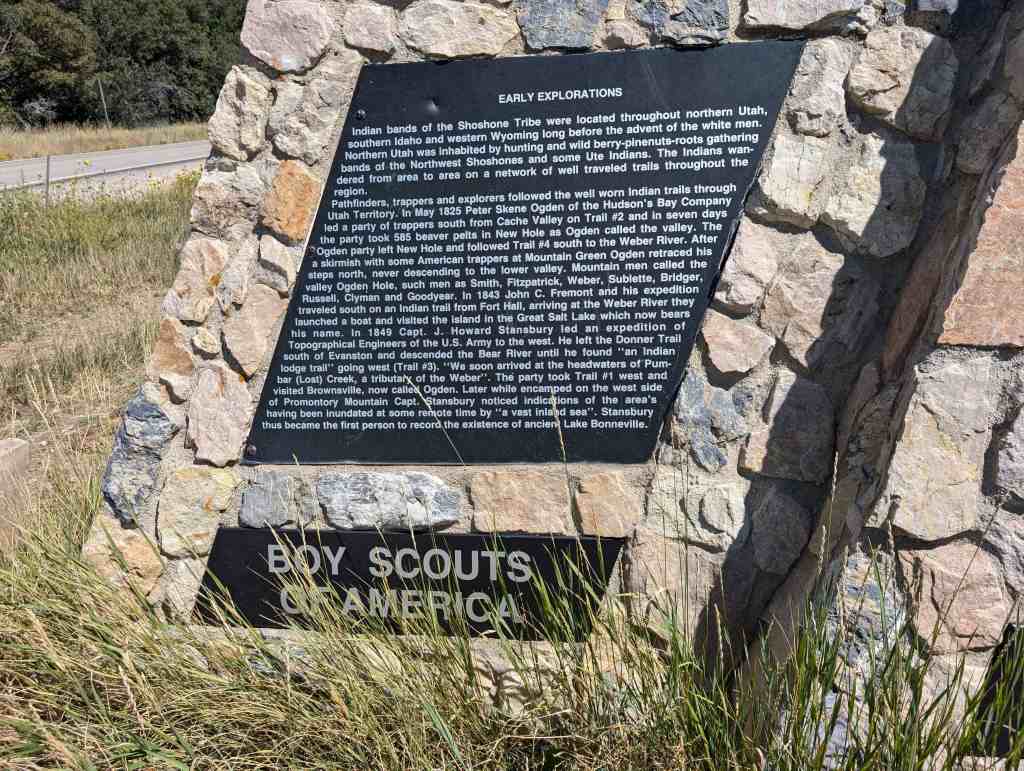
Early Explorations
Indian bands of the Shoshone Tribe were located throughout northern Utah, southern Idaho and western Wyoming long before the advent of the white men. Northern Utah was inhabited by hunting and wild berry-pinenuts-roots gathering bands of the Northwest Shoshones and some Ute Indians. The Indians wandered from area to area on a network of well traveled trails throughout the region.
Pathfinders, trappers and explorers followed the well worn Indian trails through Utah Territory. In May 1825 Peter Skene Ogden of the Hudson’s Bay Company led a party of trappers south from Cache Valley on Trail #2 and in seven days the party took 585 beaver pelts in New Hole as Ogden called the valley. The Ogden party left New Hole and followed Trail #4 south to the Weber River. After a skirmish with some American trappers at Mountain Green Ogden retraced his steps north, never descending to the lower valley. Mountain men called the valley Ogden Hole, such men as Smith, Fitzpatrick, Weber, Sublette, Bridger, Russell, Clyman and Goodyear. In 1843 John C. Fremont and his expedition traveled south on an Indian trail from Fort Hall, arriving at the Weber River they launched a boat and visited the island in the Great Salt Lake which now bears his name. In 1849 Capt. J. Howard Stansbury led an expedition of Topographical Engineers of the U.S. Army to the west. He left the Donner Trail south of Evanston and descended the Bear River until he found “an Indian lodge trail” going west (Trail #3). “We soon arrived at the headwaters of Pumbar (Lost) Creek, a tributary of the Weber”. The party took Trail #1 west and visited Brownsville, now called Ogden. Later while encamped on the west side of Promontory Mountain Capt. Stansbury noticed indications of the area’s having been inundated at some remote time by “a vast inland sea”. Stansbury thus became the first person to record the existence of ancient Lake Bonneville.
Pioneer Settlements
Brigham Young learned much about the geography of the region near the Great Salt Lake from the writings of a few of the mountain men and from interviews with others. Soon after the arrival of the first company of Mormon Pioneers in the “valley” in July 1847 Brigham Young sent exploring parties north and south along the Indian trails west of the Wasatch Mountains to locate places for settlements. One of these parties contacted Miles Goodyear at Fort Buenaventura. In 1848 Brigham Young sent a party to explore the country around Bear Lake. The group went up Weber Canyon and took Trail #4 to Ogden Hole and then Trail #3 up South Fork on their way to Bear Lake. In 1854 Brigham Young sent an expedition over Trail #1 to find a shorter route to Fort Bridger for the settlers near Ogden so that they would not need to go via Salt Lake City. This expedition took the first wagon into the valley (Ogden Hole) Charles F. Middleton wrote, “The first wagon that was taken into the valley was taken by hand of man. No mules or oxen hauled that vehicle. I steered the wagon. The wheels were locked and my companions held onto the vehicle with ropes to prevent its breaking loose and dashing down the steep incline.” In 1856 Ogden Hole became a summer grazing area for cattle. The next year the first herd houses were built where Eden is located. The first permanent settlers arrived in 1858 and located near the herd houses. Huntsville and then Liberty were settled soon thereafter. A toll road through Ogden Canyon, constructed in 1860 by Lorin Farr and Isaac Goodale, subsequently became the main route into Ogden Valley. Each summer for a number of years Indian bands passed through the valley over the old trails on their way to and from their hunting grounds. The Indians were not hostile for they had learned that they could get more food by bartering with leather goods and by the settlers being aware of their needs than by fighting.
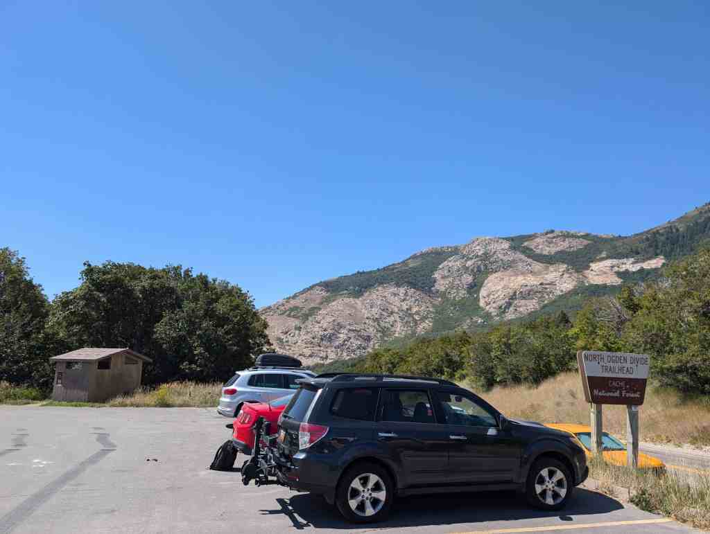
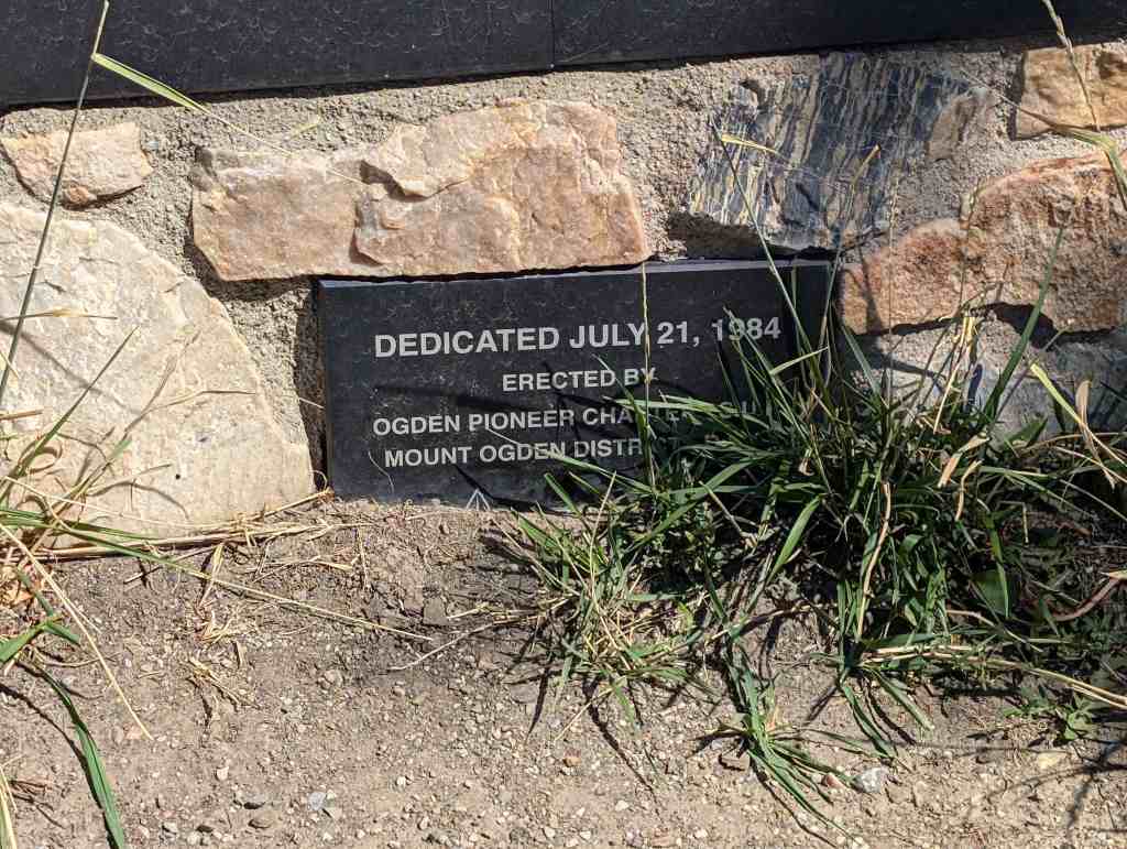
This is Sons of Utah Pioneers Historic Marker #I-1, located at the South Skyline Trail atop North Ogden Divide on North Ogden Canyon between North Ogden, Utah and Liberty, Utah.