• About JacobBarlow.com
  • Cemeteries in Utah
  • D.U.P. Markers
  • Doors
  • Exploring Utah Email List
  • Geocaching
  • Historic Marker Map
  • Links
  • Movie/TV Show Filming Locations
  • Oldest in Utah
  • Other Travels
  • Photos Then and Now
  • S.U.P. Markers
  • U.P.T.L.A. Markers
  • Utah Cities and Places.
  • Utah Homes for Sale
  • Utah Treasure Hunt

JacobBarlow.com

~ Exploring with Jacob Barlow

JacobBarlow.com

Author Archives: Jacob Barlow

Sly Park

14 Monday Sep 2026

Posted by Jacob Barlow in Uncategorized

≈ 1 Comment

Sly Park

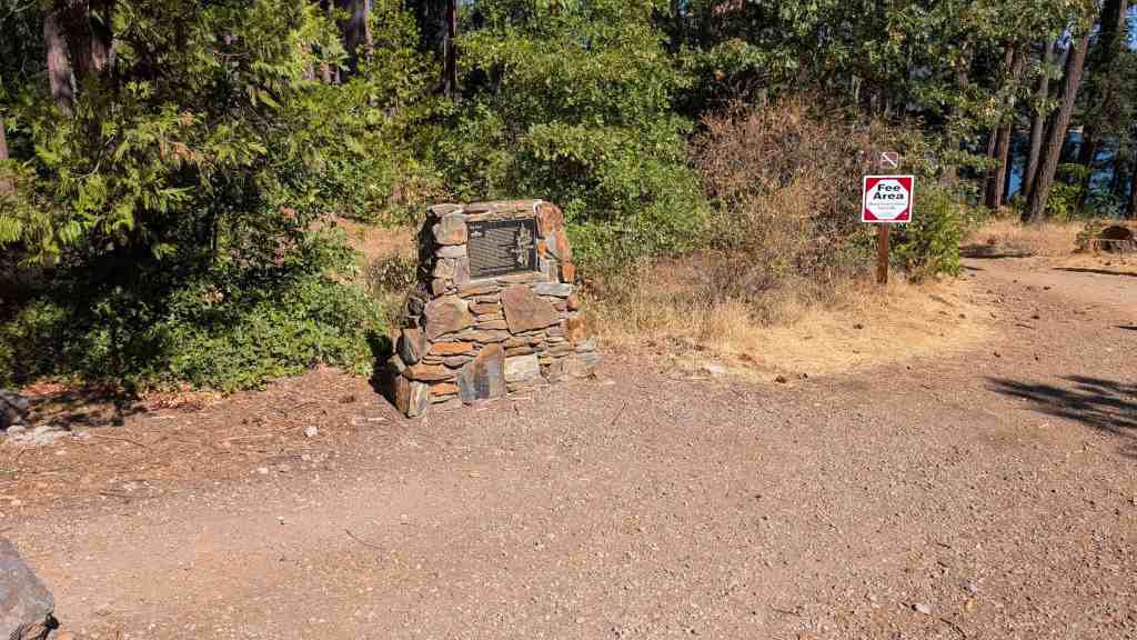
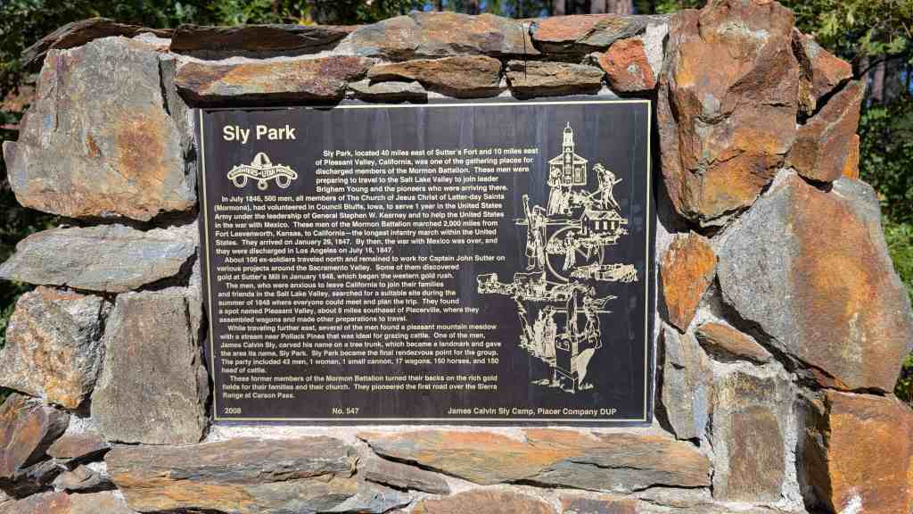
Sly Park, located 40 miles east of Sutter’s Fort and 10 miles east of Pleasant Valley, California, was one of the gathering places for discharged members of the Mormon Battalion. These men were preparing to travel to the Salt Lake Valley to join leader Brigham Young and the pioneers who were arriving there. In July 1846, 500 men, all members of The Church of Jesus Christ of Latter-day Saints (Mormons), had volunteered in Council Bluffs, Iowa, to serve 1 year in the United States Army under the leadership of General Stephen W. Kearney and to help the United States in the war with Mexico. These men of the Mormon Battalion marched 2,000 miles from Fort Leavenworth, Kansas, to California-the longest infantry march within the United States. They arrived on January 29, 1847. By then, the war with Mexico was over, and they were discharged in Los Angeles on July 16, 1847.

About 100 ex-soldiers traveled north and remained to work for Captain John Sutter on various projects around the Sacramento Valley. Some of them discovered gold at Sutter’s Mill in January 1848, which began the western gold rush.

The men, who were anxious to leave California to join their families and friends in the Salt Lake Valley, searched for a suitable site during the summer of 1848 where everyone could meet and plan the trip. They found a spot named Pleasant Valley, about 8 miles southeast of Placerville, where they assembled wagons and made other preparations to travel.

While traveling further east, several of the men found a pleasant mountain meadow with a stream near Pollack Pines that was ideal for grazing cattle. One of the men, James Calvin Sly, carved his name on a tree trunk, which became a landmark and gave the area its name, Sly Park. Sly Park became the final rendezvous point for the group. The party included 43 men, 1 woman, 1 small cannon, 17 wagons, 150 horses, and 150 head of cattle.

These former members of the Mormon Battalion turned their backs on the rich gold fields for their families and their church. They pioneered the first road over the Sierra Range at Carson Pass.
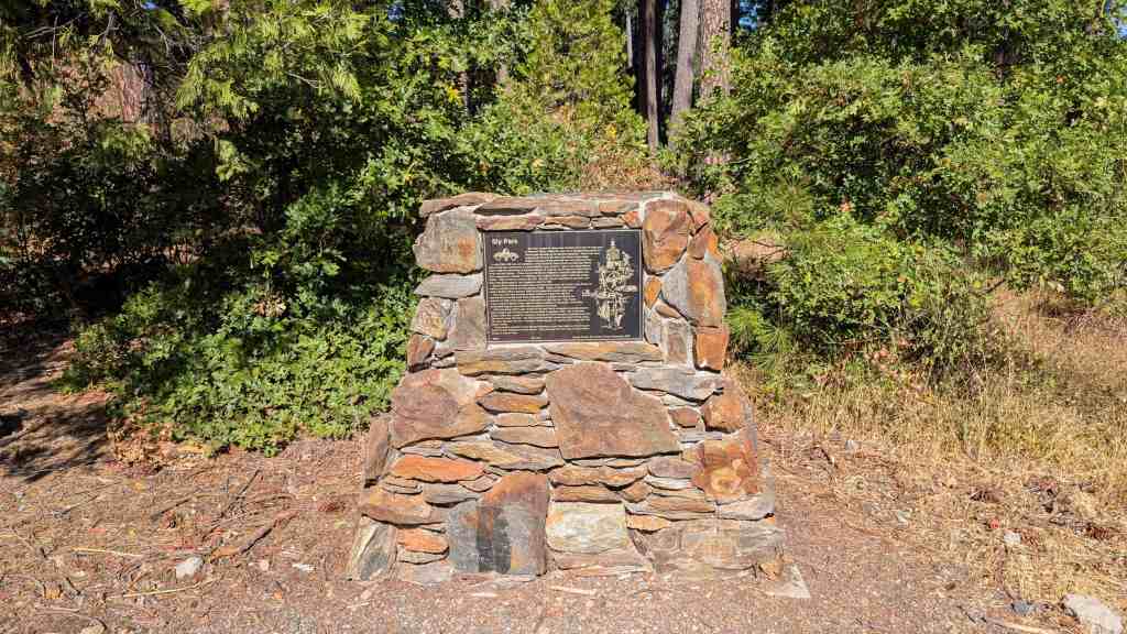
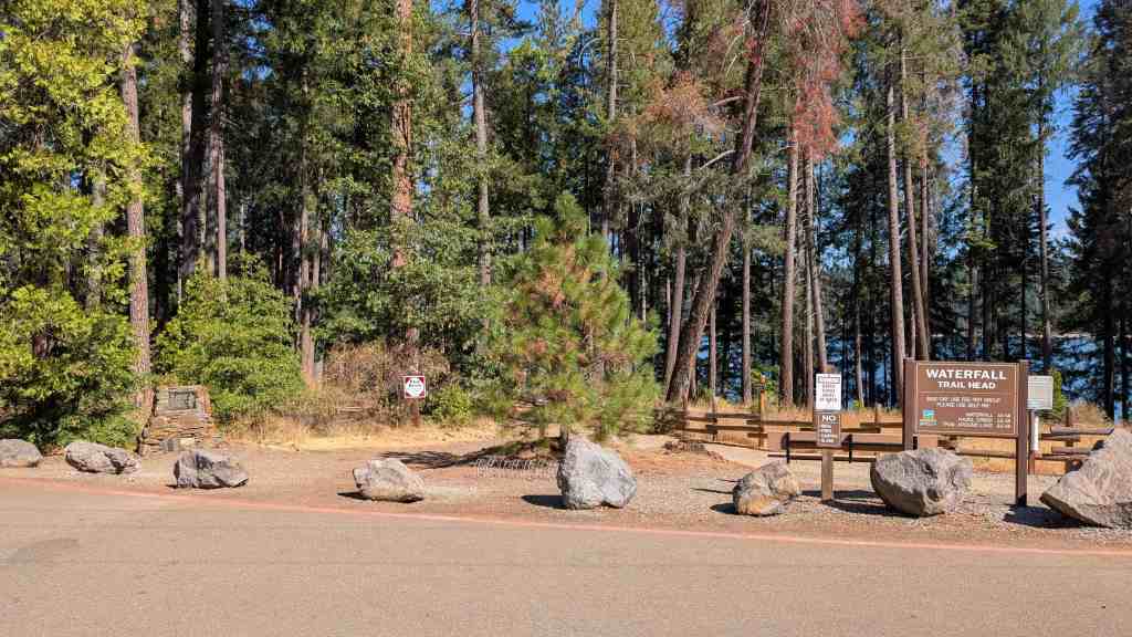
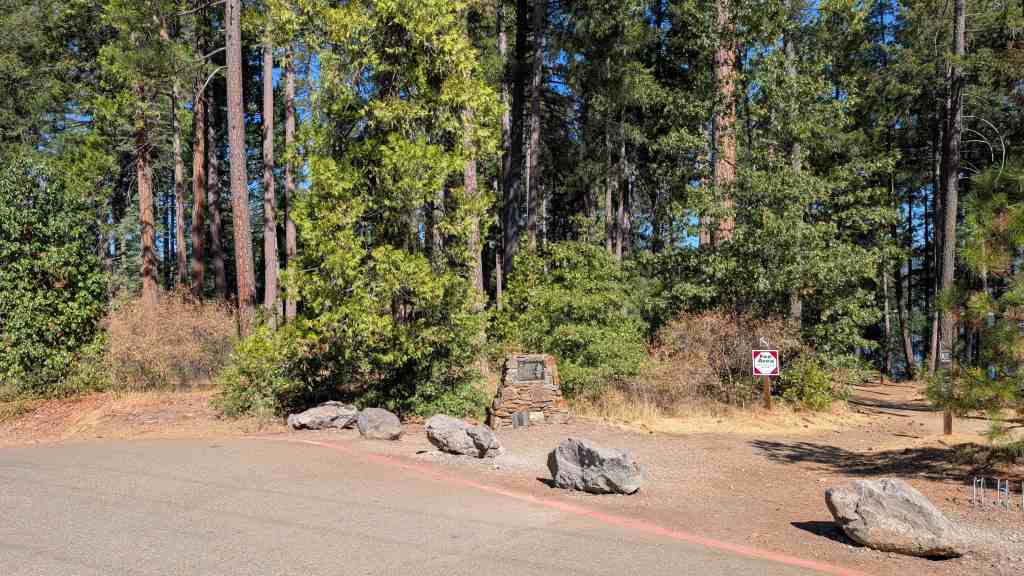
This is Daughters of Utah Pioneers historic marker #547, erected by the James Calvin Sly Camp and Placer Company DUP in 2008 at the Jenkinson Lake Trail Head and Waterfall Trail Head off Mormon Immigrant Trail at Pollock Pines, California.
  • D.U.P. Historic Markers

James Calvin Sly Sr.

14 Monday Sep 2026

Posted by Jacob Barlow in Uncategorized

≈ 2 Comments

Tags

Mormon Battalion

James Calvin Sly Sr.

from D.U.P. #547:
While traveling further east, several of the men found a pleasant mountain meadow with a stream near Pollack Pines that was ideal for grazing cattle. One of the men, James Calvin Sly, carved his name on a tree trunk, which became a landmark and gave the area its name, Sly Park. Sly Park became the final rendezvous point for the group. The party included 43 men, 1 woman, 1 small cannon, 17 wagons, 150 horses, and 150 head of cattle.

from findagrave:
James Calvin Sly was born in Ontario County, New York – which is now known as Wayne County.
He was buried in the cemetery of Chicken Creek, UT but the grave was washed away in a flood.
He was in Mormon Battalion Company B.
Sly Park Valley, Sly Park, Sly Dam in Placerville, El Dorado County, CA are named for him.*
He was a miller at Sutter’s Fort where the gold was discovered that started the California gold rush.
He was an explorer, scout and much, much more.

from the plaque in Bountiful City Park:
During the summers of 1849 and 1850, more than 25,000 emigrants passed this way en route to the California gold fields.  The vanguard of the 1849 emigration reached Great Salt Lake City about June 16th.  They lingered in the city to rest their animals and buy supplies.  The first forty-niner wagons to pass here on the way to City of Rocks were led by James C. Sly, a Mormon Battalion veteran.

Farnsworth Grocery

14 Monday Sep 2026

Posted by Jacob Barlow in Uncategorized

≈ Leave a comment

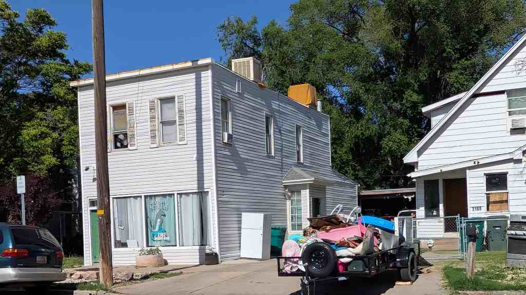
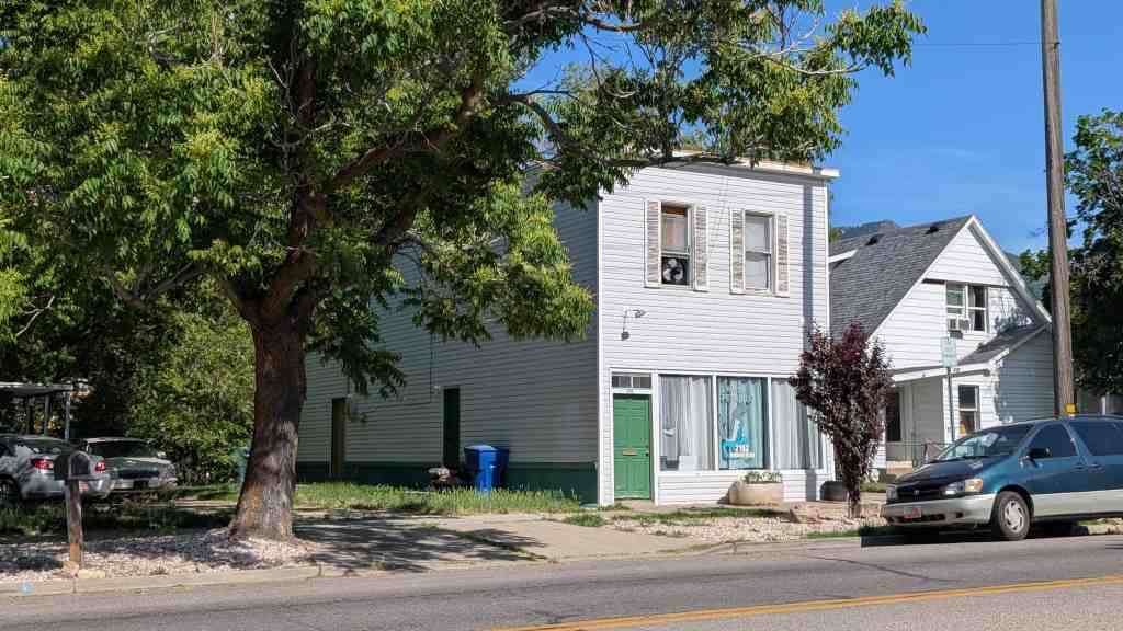
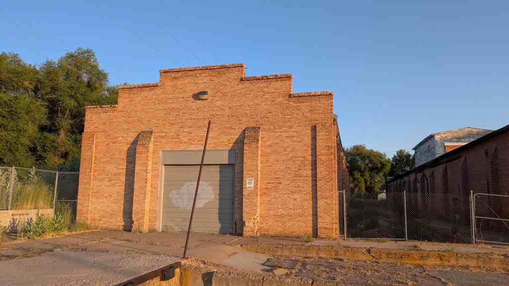
2162 Monroe Boulevard in the Ogden’s Central Bench Historic District in Ogden, Utah

From Ogden’s Central Bench Historic District:
Due to the growing development in the bench neighborhood, and as people started to live more and more in the eastern part of the district farther away from town, local grocers and meat markets started to rise up in the area to cater the community. Several started to be built in the 1910s, including the Sawyer Bros. Grocery at 1012 22nd Street, c. 1912; Farnsworth Grocery at 2162 Monroe Boulevard, c. 1914; and the Mollerup Grocer at 2669 Jackson Avenue, c. 1915. Some precursors were the Kasius Grocery at 743 23rd Street, c. 1905; and the Poulter Grocery and Dry Goods Store at 2570 Gramercy Avenue, c. 1893. The Kasius Store was built in 1905, a small commercial block constructed in front of Andrew Kasius’s home. Mr. Kasius, a Holland native, moved to Ogden, with his family, during the boom years to run an umbrella market on Washington Boulevard. In the early 1900s he then moved to the Central Bench District, where he then opened up the grocery store. Mr. Kasius is a good example of a common story in Ogden and the Central Bench District. As many newcomers made their way to Ogden they usually stayed in the industrial/commercial sector of town west of the district. As they continued to live in Ogden, they often worked their way up to the more stable and peaceful community that was the bench.

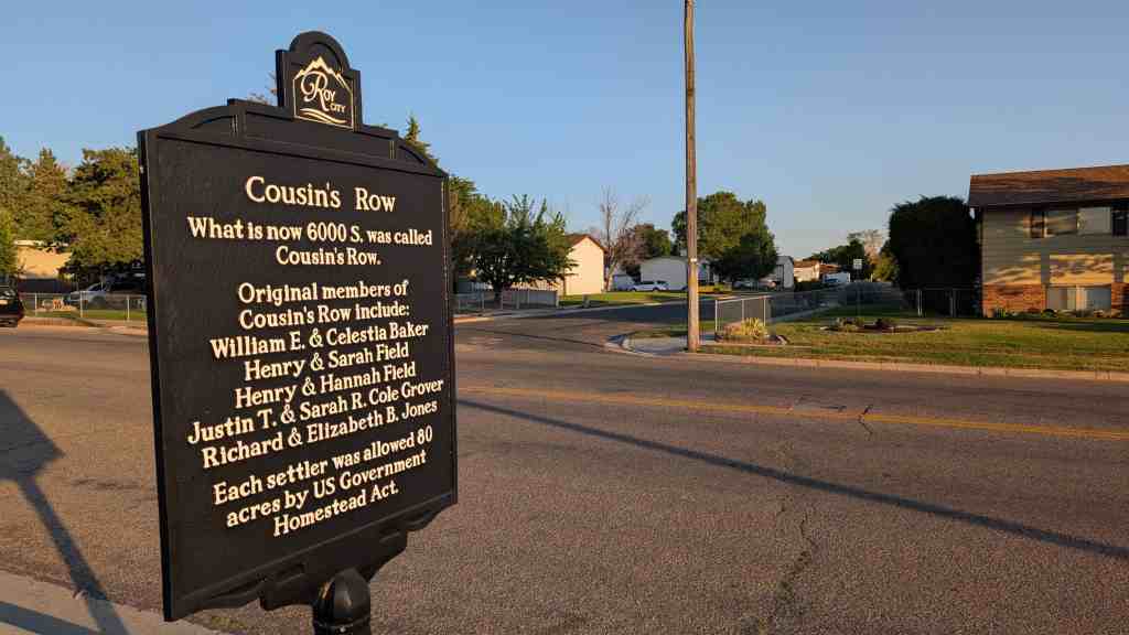
Cousin’s Row

13 Sunday Sep 2026

Posted by Jacob Barlow in Uncategorized

≈ Leave a comment

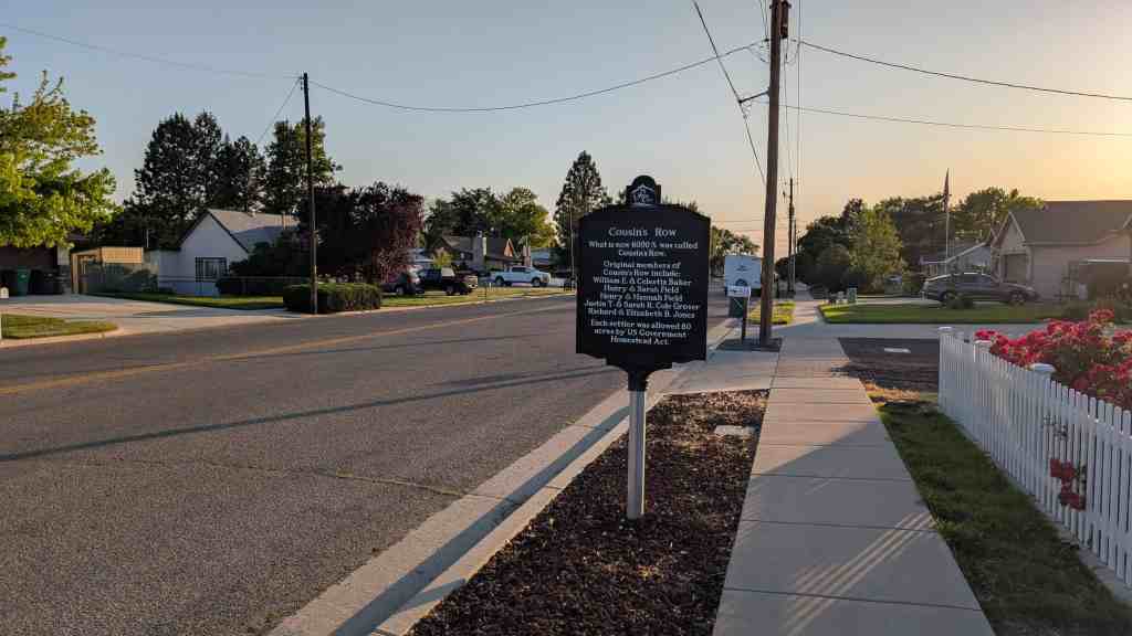
Cousin’s Row

What is now 6000 S. was called Cousin’s Row. Original members of Cousin’s Row include:

  • William E. & Celestia Baker
  • Henry & Sarah Field
  • Henry & Hannah Field
  • Justin T. & Sarah R. Cole Grover
  • Richard & Elizabeth B. Jones

Each settler was allowed 80 acres by US Government Homestead Act.

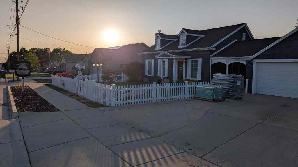
2968 West 6000 South in Roy, Utah

Charles H. and Lenore Taylor Home

12 Saturday Sep 2026

Posted by Jacob Barlow in Uncategorized

≈ Leave a comment

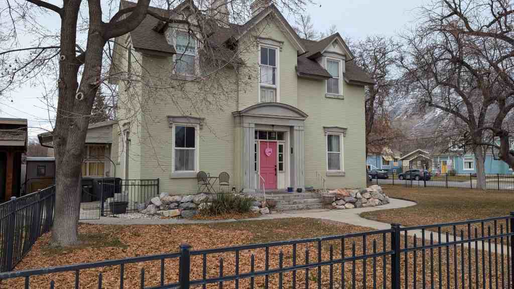
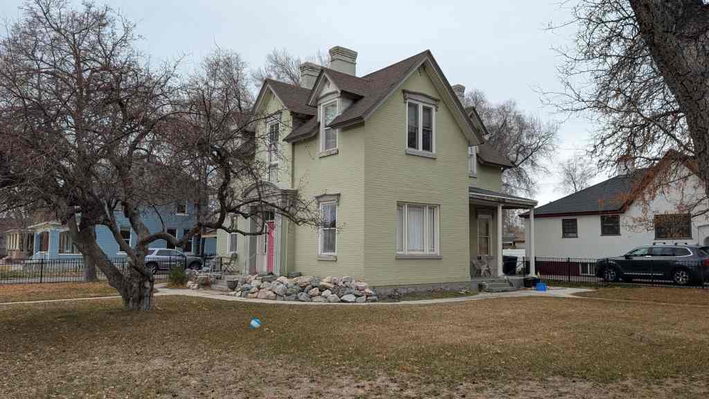
This cross-wing house consists of two wings placed at right angles so that the floor plan resembles an “L.” After 1880, the cross-wing style of house replaced the hall-parlor style as the most common Utah house type. The stylistic emphasis of the house is divided equally between the façade of the projecting wing and the porch fronting the main entrance in the flanking wing. Houses of this type are typically one and a half stories tall, as seen here. The cross-wing house was initially developed in association with the Gothic Revival and Italianate styles, but during the late nineteenth century it became a popular plan for Victorian dwellings as well. This home features Italianate decoration such as the arched pediment over the 300 South entrance.

The history of this home is difficult to trace because of the two addresses. In 1930 Charles H. and Lenore Taylor lived at 192 East 300 South. In 1924 Joseph Buttle and Leland Buttle, the chairman of Columbia Steel, lived at 140 South 200 East, but by 1939 several Buttles had moved into this home. Leland B. and Faye J. Buttle were in the home. Leland B. taught at Dixon Junior High School. Grant Buttle was a clerk at the Lewis Ladies Store and Mrs. Mary Buttle was a county welfare clerk. In 1953 Faye J. Buttle is listed as an instructor at BYU. Mary B. Buttle is listed as the widow of Joseph. Lewis and Faye Buttle still lived in the home in 1978.

185 East 300 South in Provo, Utah (or 292 S 200 E )

Cherry Creek Camp

11 Friday Sep 2026

Posted by Jacob Barlow in Uncategorized

≈ 1 Comment

Tags

DUP, Historic Markers

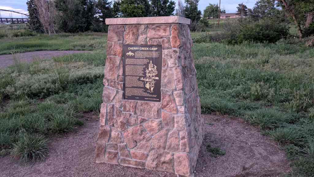
Cherry Creek Camp

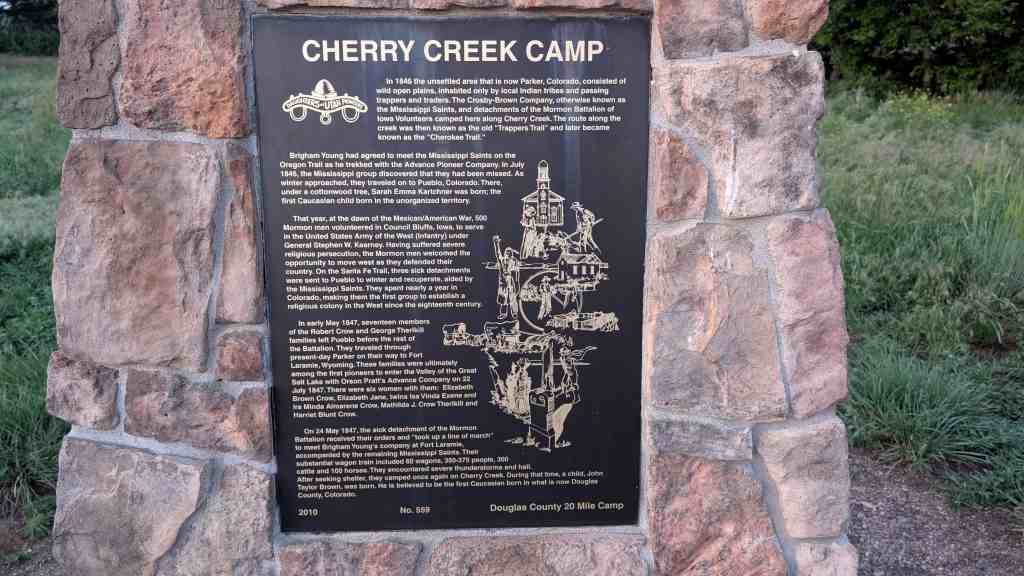
In 1846 the unsettled area that is now Parker, Colorado, consisted of wild open plains, inhabited only by local Indian tribes and passing trappers and traders. The Crosby-Brown Company, otherwise known as the Mississippi Saints, and detachments of the Mormon Battalion of lowa Volunteers camped here along Cherry Creek. The route along the creek was then known as the old “Trappers Trail” and later became known as the “Cherokee Trail.”

Brigham Young had agreed to meet the Mississippi Saints on the Oregon Trail as he trekked with the Advance Pioneer Company. In July 1846, the Mississippi group discovered that they had been missed. As winter approached, they traveled on to Pueblo, Colorado. There, under a cottonwood tree, Sarah Emma Kartchner was born; the first Caucasian child born in the unorganized territory.

That year, at the dawn of the Mexican/American War, 500 Mormon men volunteered in Council Bluffs, Iowa, to serve in the United States Army of the West (Infantry) under General Stephen W. Kearney. Having suffered severe religious persecution, the Mormon men welcomed the opportunity to move west as they defended their country. On the Santa Fe Trail, three sick detachments were sent to Pueblo to winter and recuperate, aided by the Mississippi Saints. They spent nearly a year in Colorado, making them the first group to establish a religious colony in the West since the eighteenth century.

In early May 1847, seventeen members of the Robert Crow and George Therlkill families left Pueblo before the rest of the Battalion. They traveled through present-day Parker on their way to Fort Laramie, Wyoming. These families were ultimately among the first pioneers to enter the Valley of the Great Salt Lake with Orson Pratt’s Advance Company on 22 July 1847. There were six women with them: Elizabeth Brown Crow, Elizabeth Jane, twins Isa Vinda Exene and Ira Minda Almarene Crow, Mathilda J. Crow Therlkill and Harriet Blunt Crow.

On 24 May 1847, the sick detachment of the Mormon Battalion received their orders and “took up a line of march” to meet Brigham Young’s company at Fort Laramie, accompanied by the remaining Mississippi Saints. Their substantial wagon train included 60 wagons, 350-375 people, 300 cattle and 100 horses. They encountered severe thunderstorms and hail. After seeking shelter, they camped once again on Cherry Creek. During that time, a child, John Taylor Brown, was born. He is believed to be the first Caucasian born in what is now Douglas County, Colorado.

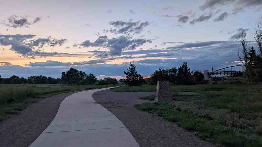
This is Daughters of Utah Pioneers historic marker #559, erected by the Douglas County 20 Mile Camp of the D.U.P. in 2010 on a walking trail west of Parker Road in Parker, Colorado.

Town of Parker Landmark

Hood House

In September of 1911, Fredrick B. Hood had come to Parker not only as a stock holder in the newly formed Parker State Bank, but to serve as the bank’s cashier, and manager as well. He purchased land on what was then called Rural Road (now Pikes Peak Drive) from Dr. Walter Heath. Immediately securing a builder, Hood began construction on this two-story home. The Hoods moved into their new house in December of 1911. He and his wife, Myrtle, had three children, Winfred, Helen, and Florence.

Hood immersed himself in local business and social activities. He and another bank director, Harold Senter, acquired a Ford distributorship for the local area and sold Model T Fords out of the bank. He was a trustee of the Ruth Memorial Episcopal Church and assisted in the efforts to build the church building. He was the secretary of the Parker Coronet Band, and occasionally clerked at farm and ranch auctions. Hood made a successful run for Douglas County Commissioner against Edgar Gerber and won by twenty-three votes. In 1918, Hood was the director from the Pine Grove Precinct of the Liberty Loan Committee organization for Douglas County. Hood continued with the bank until its demise in 1922.

This home was one of only two buildings in Parker that were undamaged by a flood in 1912. It was saved from demolition by the Town of Parker and moved from its original location on 11024 Pikes Peak Drive to Parker Preservation Park in 2008.

Gas Company – The Stand Filming Location

10 Thursday Sep 2026

Posted by Jacob Barlow in Uncategorized

≈ 1 Comment

This is where they filmed the scene from the TV Mini-Series “The Stand” which was released in1994.

It was filmed at 590 Border Station Road in Coalville, Utah

Related Posts:

  • The Stand Locations
  • Movie/TV Show Filming Locations

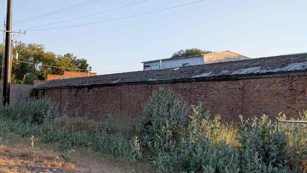
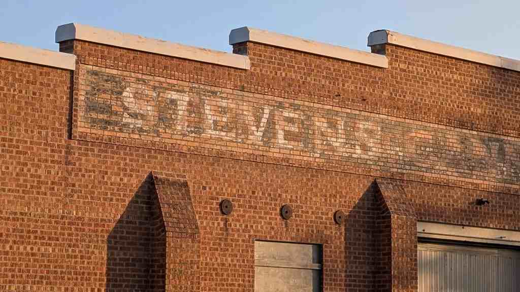
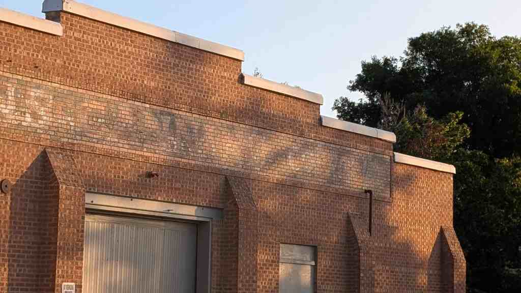
Stevens Cannery

09 Wednesday Sep 2026

Posted by Jacob Barlow in Uncategorized

≈ 1 Comment

Stevens Cannery

2757 West 6000 South in Roy, Utah

Ole Peterson House

08 Tuesday Sep 2026

Posted by Jacob Barlow in Uncategorized

≈ Leave a comment

Ole Peterson House

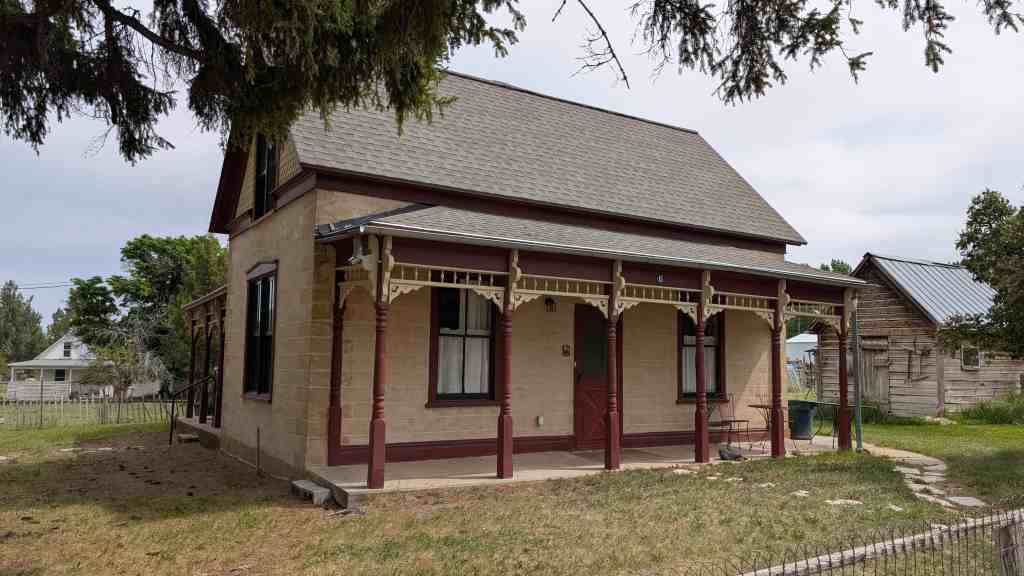
Constructed c. 1872, this early adobe hall-and- parlor type house features simulated-stone plasterwork and a Victorian-style porch. Ole Peterson built the house and lived here until 1882, when he sold it to Hans Nielsen. Nielsen was a farmer and stockholder in the Young Men’s Co-op store. Nielsen also built the stone bunkhouse and a livery stable (demolished c. 1970). Joe Schofield purchased the house in 1906. Joe delivered the town’s mail to the D&RGW rail depot and also ran, a livery.

15 East 200 North in the Spring City Historic District in Spring City, Utah

John R. Baxter House

08 Tuesday Sep 2026

Posted by Jacob Barlow in Uncategorized

≈ Leave a comment

Tags

NRHP, Porch Spandrels, Sanpete County, Spring City, Spring City Historic District, utah

John R. Baxter House

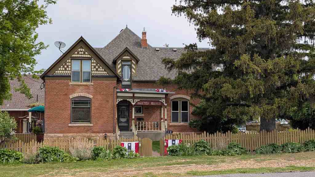
This Queen Anne style house with its decorative gable shingles, turned porch posts, and spindles was built for John R. Baxter in 1903. Baxter, a teacher, farmer, and prosperous merchant, also served as mayor of Spring City from 1894 to 1895. Danish mason Jens Peter Carlson was responsible for the fine brick and stone masonry. The house remained in the Baxter family until 1979.

12 West 300 North in the Spring City Historic District in Spring City, Utah

← Older posts

Follow Jacob

Follow Jacob

Come wander with me on Youtube.

Blog Stats

  • 2,176,584 hits

Social and Other Links

BarlowLinks.com

Recent Posts

  • Sly Park
  • James Calvin Sly Sr.
  • Farnsworth Grocery
  • Cousin’s Row
  • Charles H. and Lenore Taylor Home

Archives

Loading Comments...