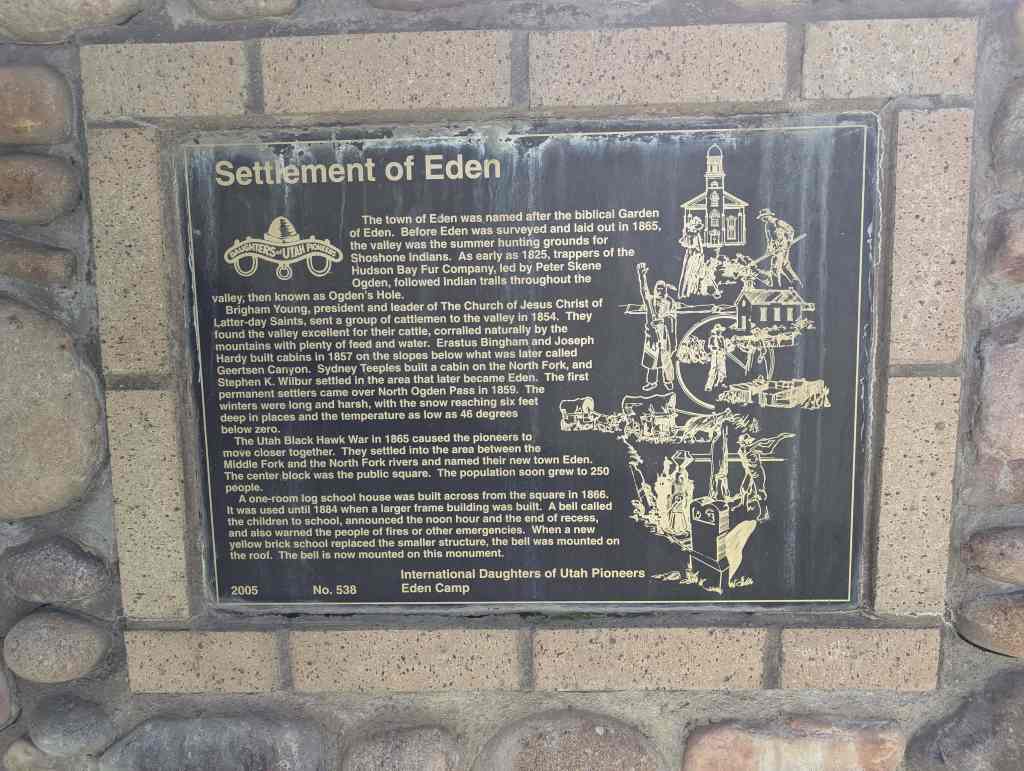
Tags
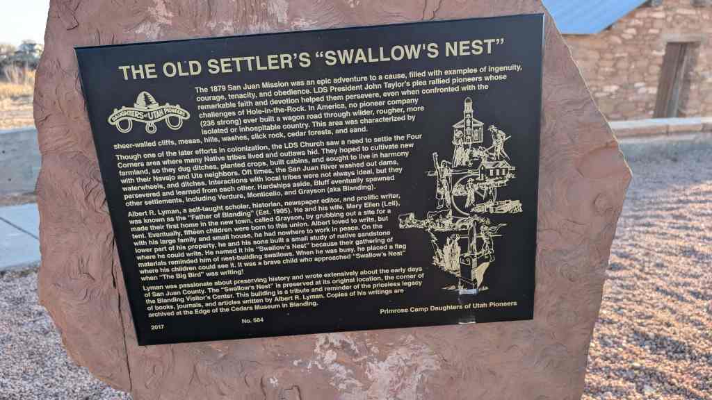
The Old Settler’s “Swallow’s Nest”
The 1879 San Juan Mission was an epic adventure to a cause, filled with examples of ingenuity, courage, tenacity, and obedience. LDS President John Taylor’s plea rallied pioneers whose remarkable faith and devotion helped them persevere, even when confronted with the challenges of Hole-in-the-Rock. In America, no pioneer company (236 strong) ever built a wagon road through wilder, rougher, more isolated or inhospitable country. This area was characterized by sheer-walled cliffs, mesas, hills, washes, slick rock, cedar forests, and sand.
Though one of the later efforts in colonization, the LDS Church saw a need to settle the Four Corners area where many Native tribes lived and outlaws hid. They hoped to cultivate new farmland, so they dug ditches, planted crops, built cabins, and sought to live in harmony with their Navajo and Ute neighbors. Oft times, the San Juan River washed out dams, waterwheels, and ditches. Interactions with local tribes were not always ideal, but they persevered and learned from each other. Hardships aside, Bluff eventually spawned other settlements, including Verdure, Monticello, and Grayson (aka Blanding).
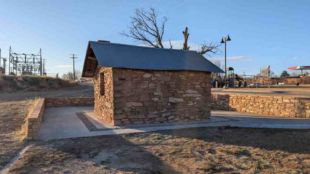
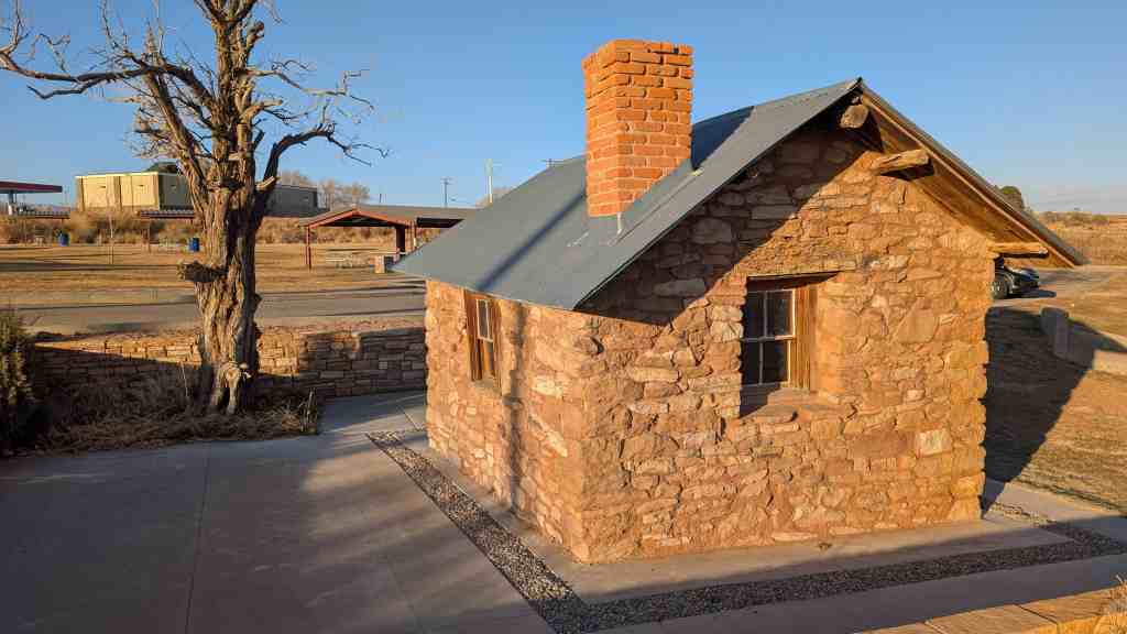
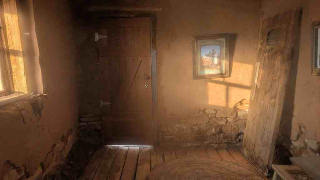
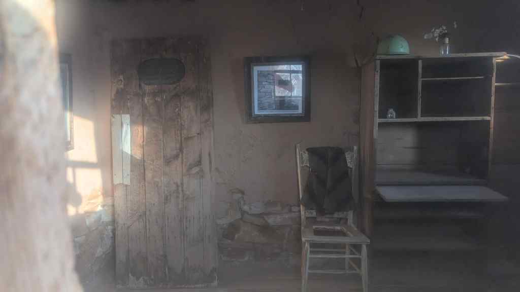
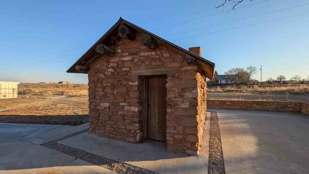
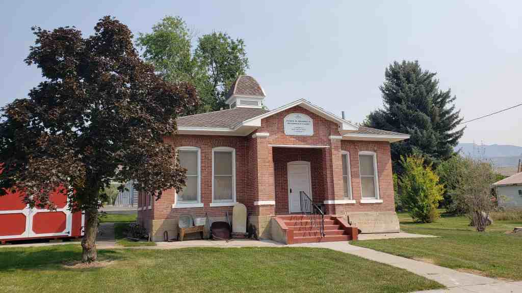
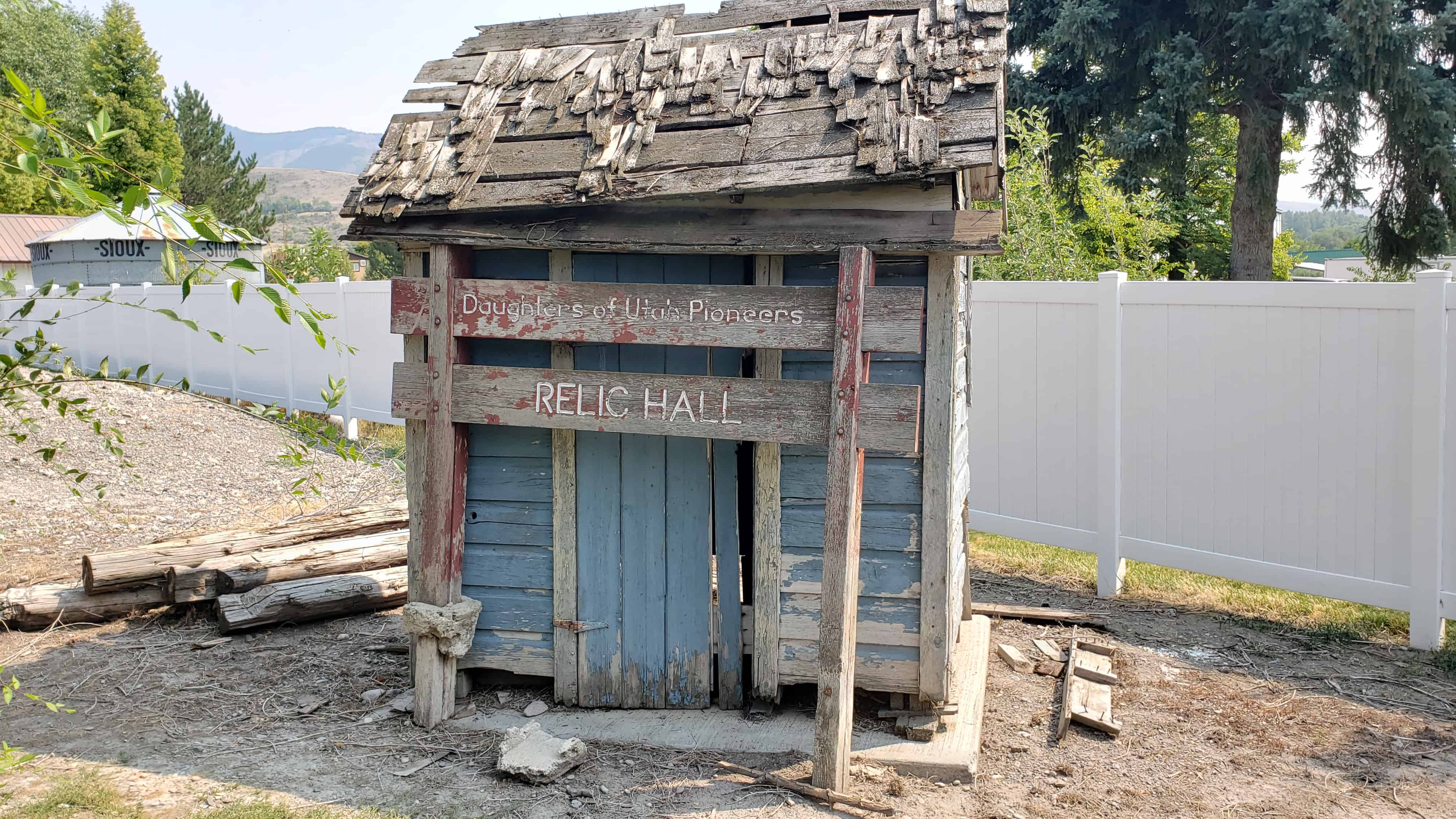
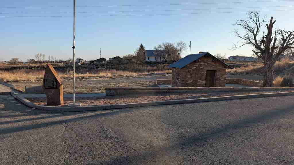
Albert R. Lyman, a self-taught scholar, historian, newspaper editor, and prolific writer, was known as the “Father of Blanding” (Est. 1905). He and his wife, Mary Ellen (Lell), made their first home in the new town, called Grayson, by grubbing out a site for a tent. Eventually, fifteen children were born to this union. Albert loved to write, but with his large family and small house, he had nowhere to work in peace. On the lower part of his property, he and his sons built a small study of native sandstone where he could write. He named it his “Swallow’s Nest” because their gathering of materials reminded him of nest-building swallows. When he was busy, he placed a flag where his children could see it. It was a brave child who approached “Swallow’s Nest” when “The Big Bird” was writing!
Lyman was passionate about preserving history and wrote extensively about the early days of San Juan County. The “Swallow’s Nest” is preserved at its original location, the corner of the Blanding Visitor’s Center. This building is a tribute and reminder of the priceless legacy of books, journals, and articles written by Albert R. Lyman. Copies of his writings are archived at the Edge of the Cedars Museum in Blanding.
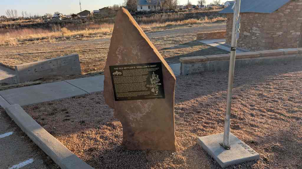
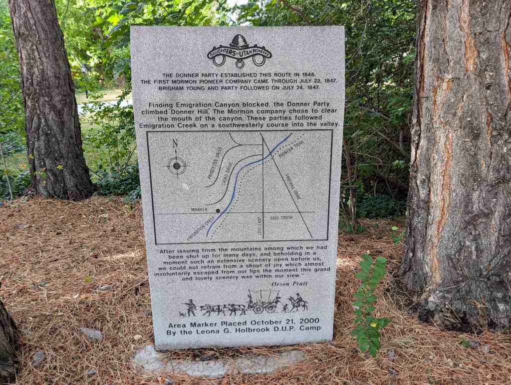
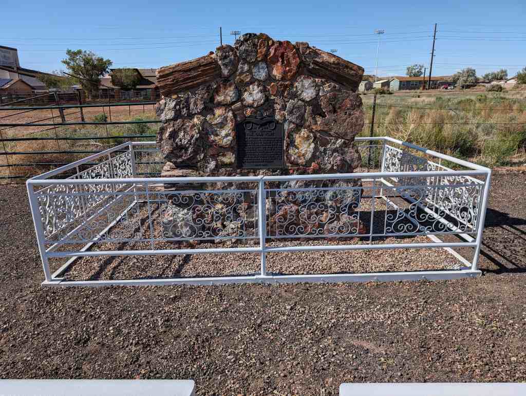
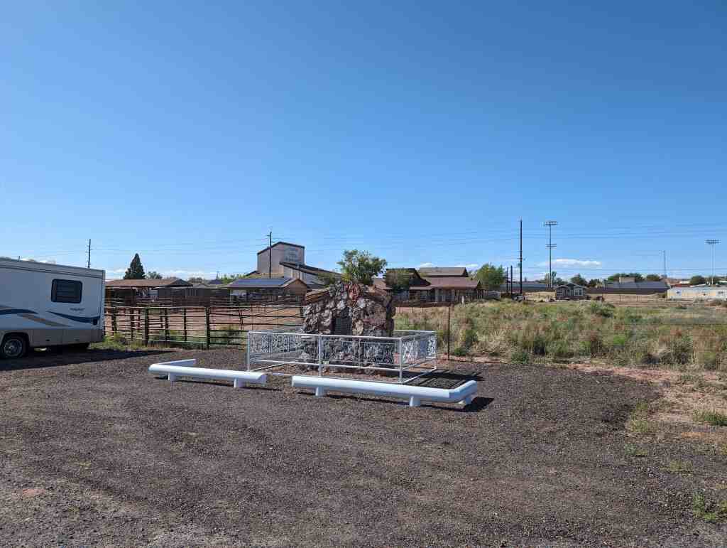
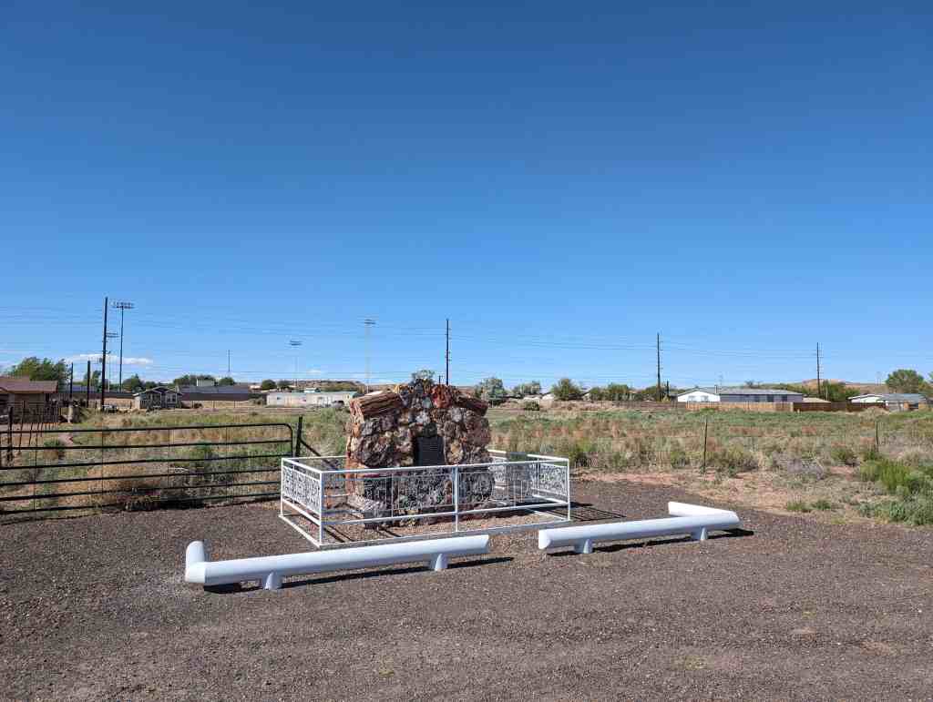
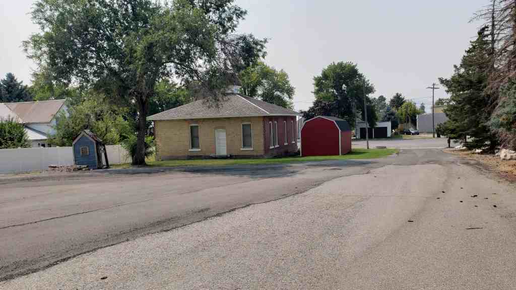
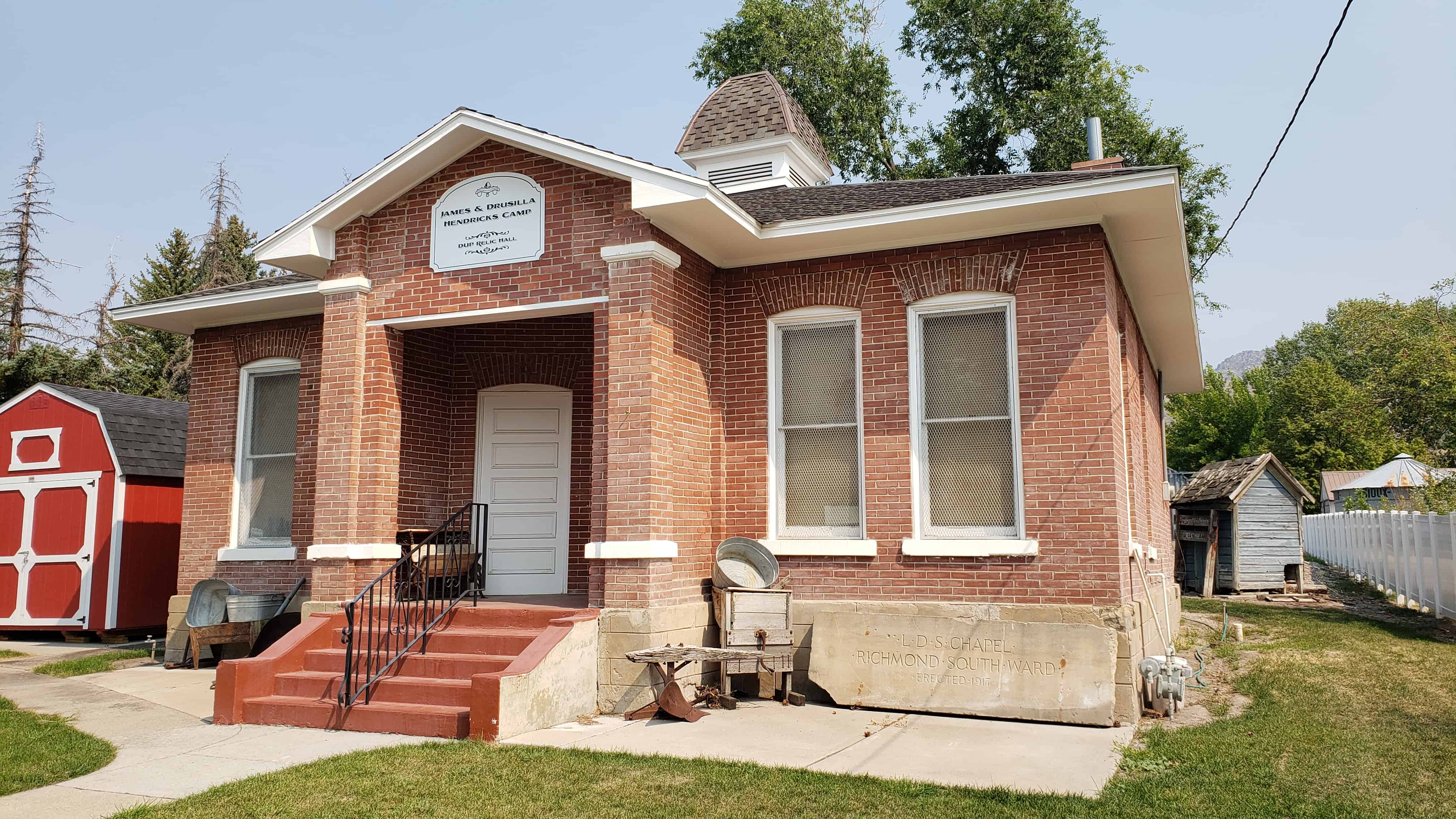
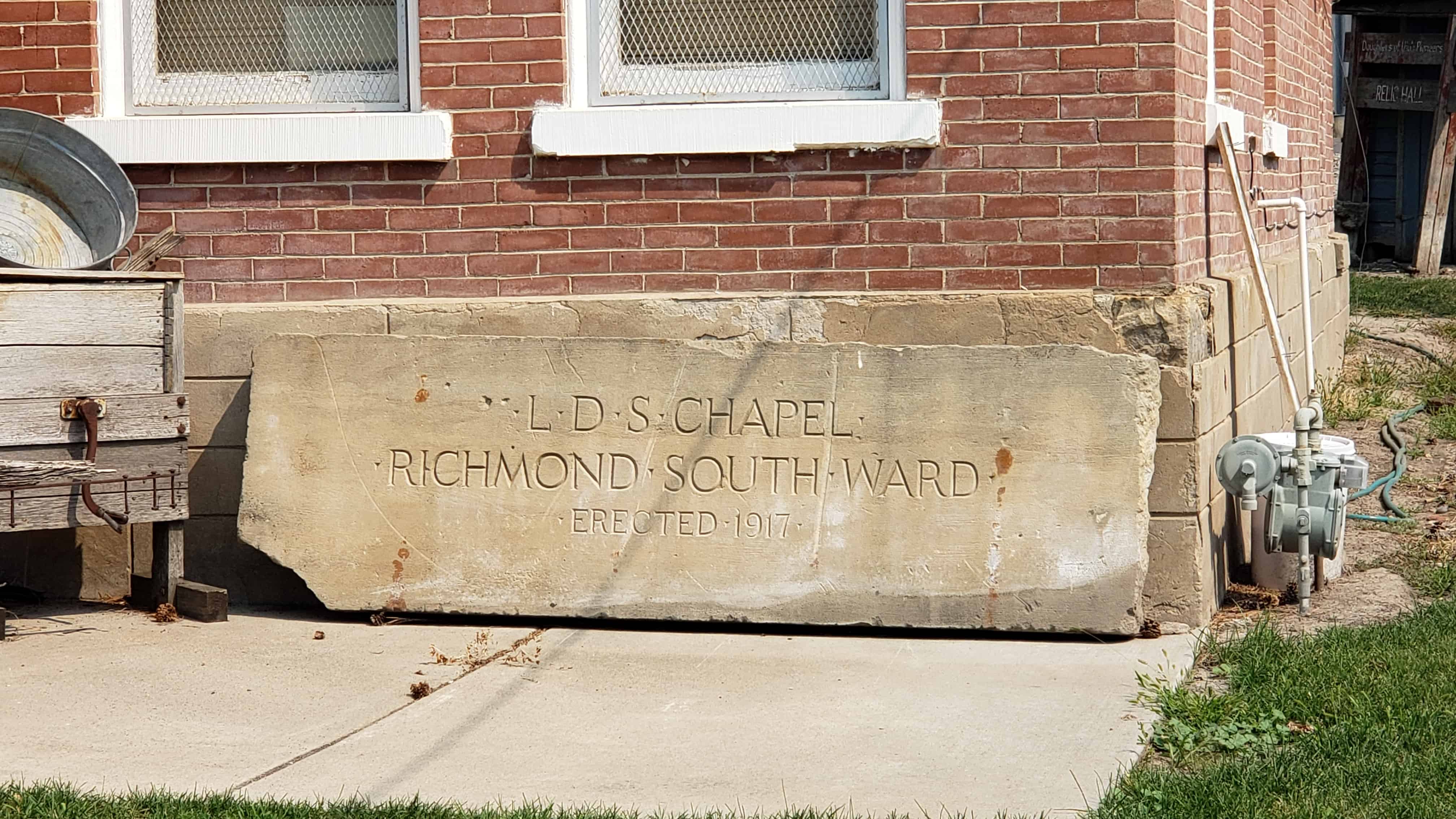
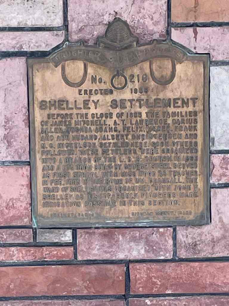
This is Daughters of Utah Pioneers historic marker #584 (see other D.U.P. markers here) located in Blanding, Utah, erected in 2017.