Tags
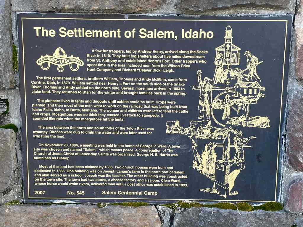
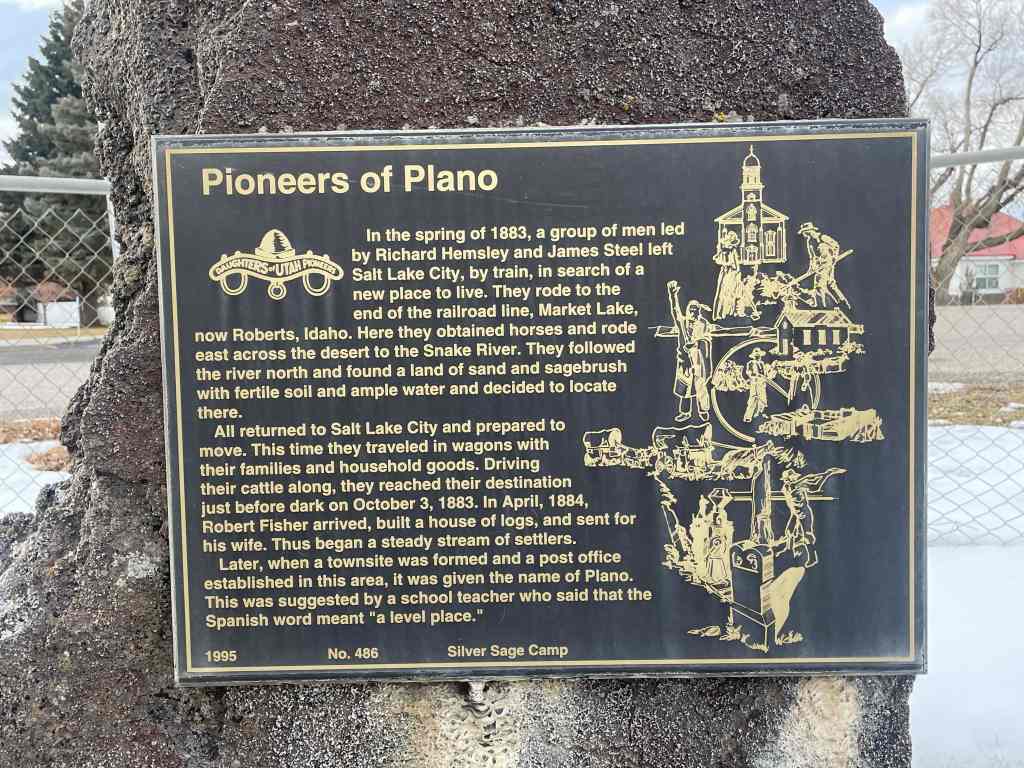
The Settlement of Salem, Idaho
A few fur trappers, led by Andrew Henry, arrived along the Snake River in 1810. They built log shelters about five miles downstream from St. Anthony and established Henry’s Fort. Other trappers who spent time in the area included men from the Wilson Price Hunt Company and Richard “Beaver Dick” Leigh.
The first permanent settlers, brother William, Thomas and Andy McMinn, came from Corrine, Utah, in 1879. William settled near Henry’s Fort on the south side of the Snake River. Thomas and Andy settled on the north side. Several more men arrived in 1883 to claim land. They returned to Utah for the winter and brought families back in the spring.
The pioneers lived in tents and dugouts until cabins could be built. Crops were planted, and then most of the men went to work on the railroad that was being built from Idaho Falls, Idaho to Butte, Montana. The women and children were left to tend the cattle and crops. Mosquitoes were so thick they caused livestock to stampede. It sounded like rain when the mosquitoes hit the tents.
The area between the north and south forks of the Teton River was swampy. Ditches were dug to drain the water and were later used for irrigating the land.
On November 23, 1884, a meeting was held in the home of George P. Ward. A town site was chosen and named “Salem,” which means peace. A congregation of The Church of Jesus Christ of Latter-day Saints was organized. George H.B. Harris was sustained as Bishop.
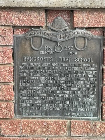
Most of the land had been claimed by 1886. Two church houses were built and dedicated in 1885. One building was on Joseph Larsen’s farm in the north part of Salem and also served as a school. Joseph was the teacher. The other building was constructed on the town site. The town had two stores, a cheese factory and a saloon. Clem Ward, whose horse would swim rivers, delivered mail until a post office was established in 1893.
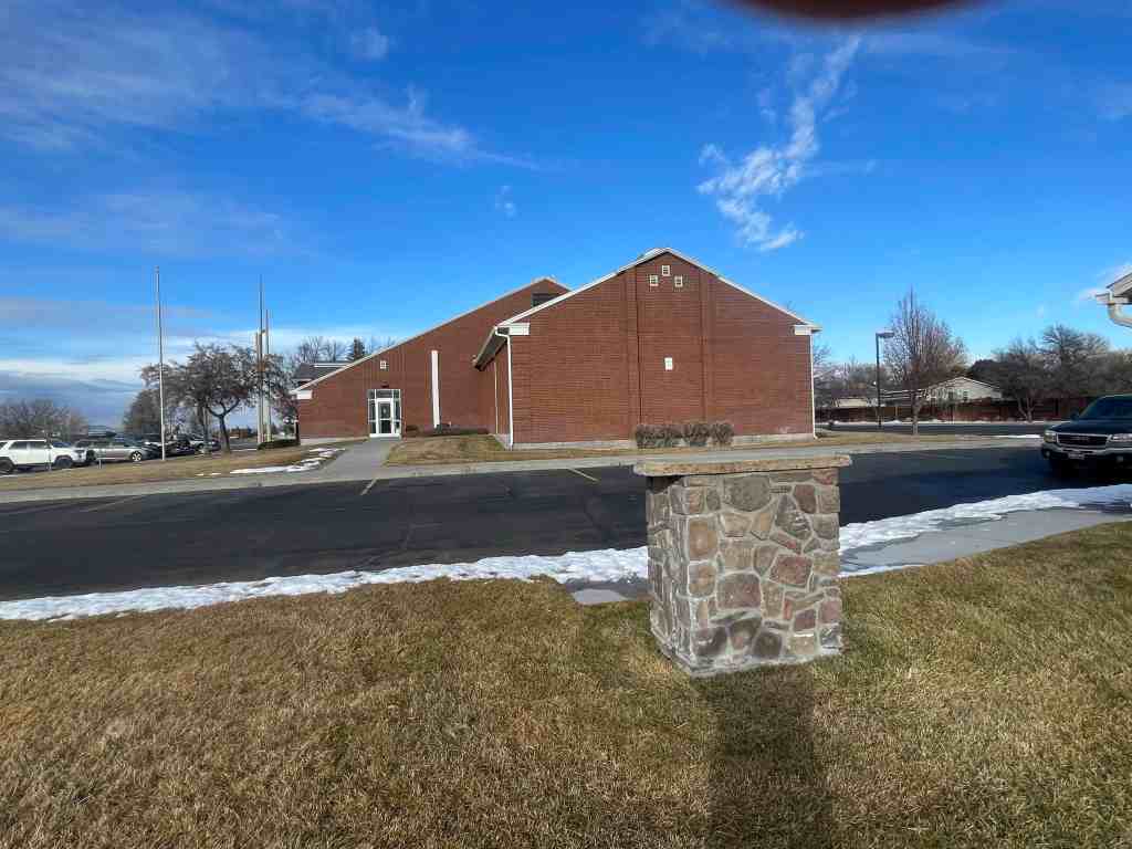
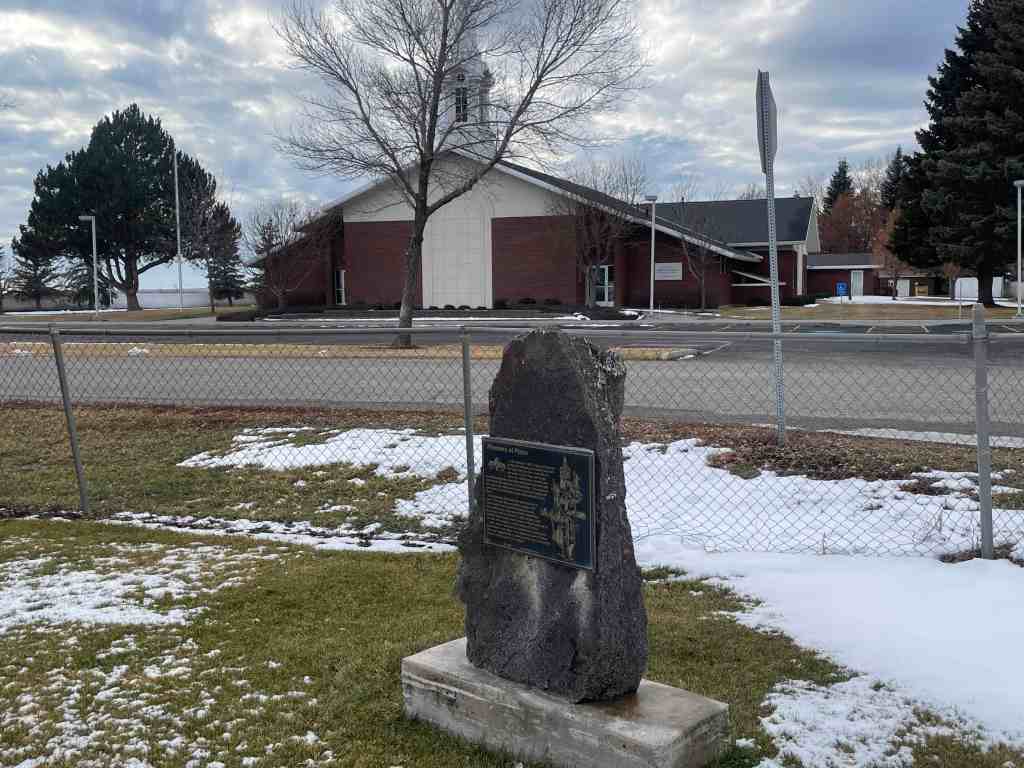
The above text is from the monument (Daughters of Utah Pioneers historic marker #545) located at3462 North Salem Road in Rexburg, Idaho.
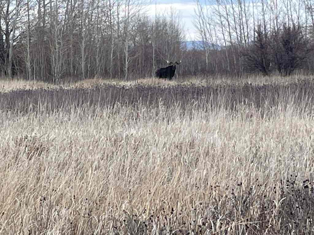
The photos below were submitted by Marshall Hurst: