Mormon Pioneers of San Juan Valley crossed the Colorado River at “Hole-In-The-Rock” January 26, 1880. Twenty-six wagons were lowered over the cliff that day. A total of 250 persons were in the party. All made the perilous descent and ferried the river here.
This is Utah Pioneer Trails and Landmarks Association Historic Marker #81 (UPTLA Markers were later adopted by the Sons of Utah Pioneers) located at Hole-In-The-Rock, Utah.
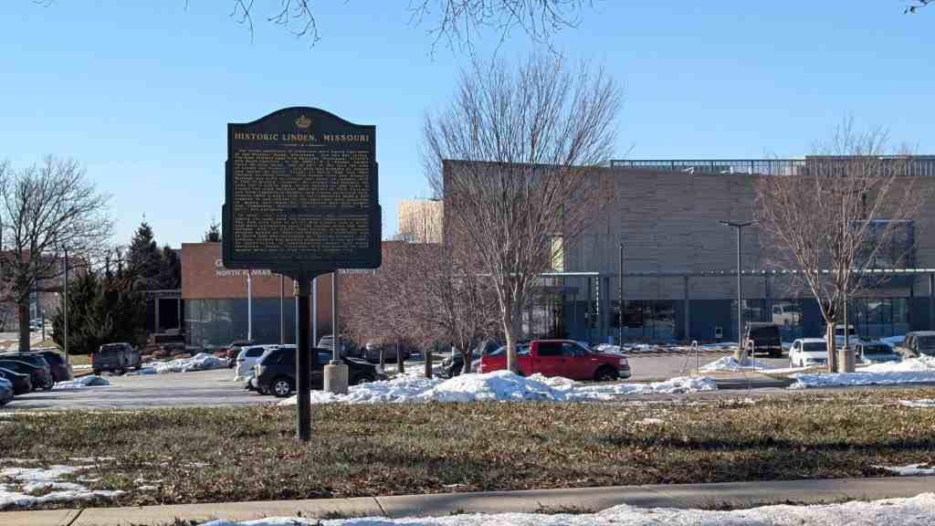
The initial inhabitants of Gladstone were Native Americans of the Missouri Osage, Blackhawk, Fox and Sac tribes. The first settlers came from Kentucky, Tennessee, Virginia and South Carolina. In the 1880’s, W. E. Winner bought three 80-acre farms, and on part of the land the town of Linden was founded. This area was bounded by streets now known as North Troost to North Oak and 68th Terrace to 72nd Street. The Kansas City and Atlantic Railroad was built to Linden and north to connect with a line to Quincy, Illinois. Mr. Winner had foreseen the need for a public park so he deeded to the town of Linden the area between 69th Street to 70th Terrace and from Campbell to Holmes, now known as Central Park. Around 1950, a men’s club in the community made a ball diamond in one corner of the park and with donations of money and labor by interested men and women, the Community Building as it stands today was built and equipped.
In 1952, the City of Gladstone was incorporated, taking its name from the Gladstone Telephone Exchange. The new city took in all of Old Linden and a great deal more surrounding land. The wooded areas and small streams west of North Oak became a huge housing project known as “Hamilton Heights.” A cornfield east of North Oak was developed as “Bolling Heights” subdivision. Growth was greatly stimulated in the mid-1960’s by construction of comprehensive sewer and water facilities. Today, Gladstone is a community of nine square miles and is Clay County’s largest city.
Native Sons of Kansas City historic marker #24, located at 6904 North Campbell Street in Gladstone, Missouri
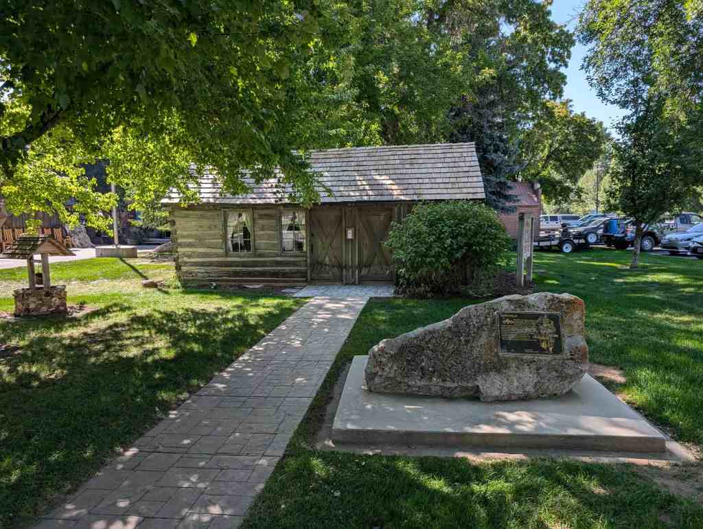
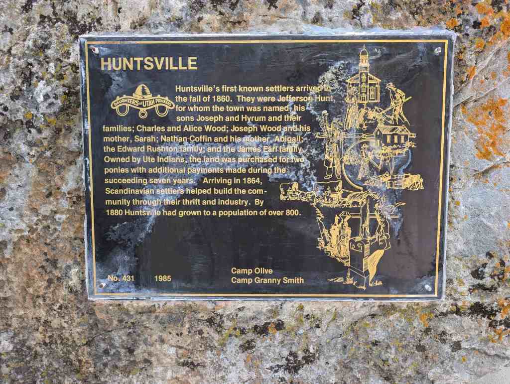
Huntsville’s first known settlers arrived the fall of 1860. They were Jefferson Hunt, for whom the town was named his sons Joseph and Hyrum and their families; Charles and Alice Wood; Joseph Wood and his mother, Sarah; Nathan Coffin and his mother, Abigail; the Edward Rushton family; and the James Earl family, Owned by Ute Indians, the land was purchased for two ponies with additional payments made during the succeeding seven years. Arriving in 1864, Scandinavian settlers helped build the community through their thrift and industry. By 1880 Huntsville had grown to a population of over 800.
This is Daughters of Utah Pioneers historic marker #431, placed by the Camp Olive and Camp Granny Smith camps of the DUP in 1985 and located at the Robert F. Aldous Cabin at 205 South 7400 East in Huntsville, Utah
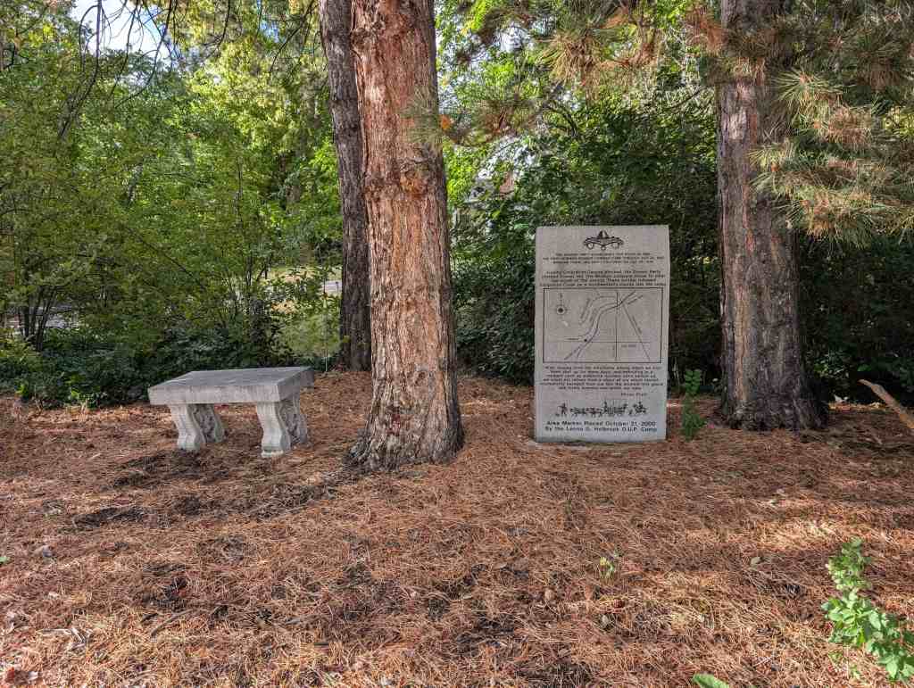
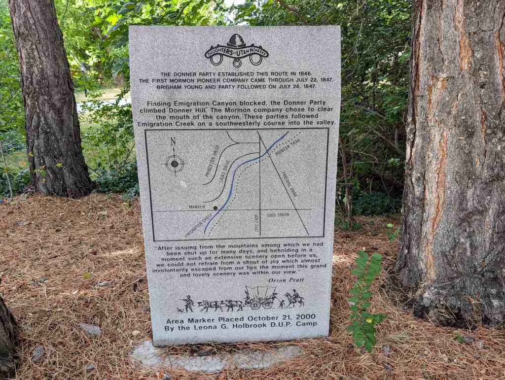
The Donner Party established this route in 1846. The first Mormon Pioneer Company came through July 22, 1847. Brigham Young and party followed on July 24, 1847.
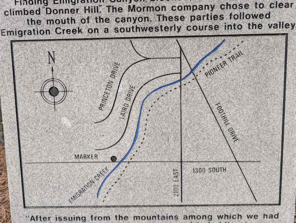
Finding Emigration Canyon blocked, the Donner Party climbed Donner Hill. The Mormon company chose to clear the mouth of the canyon. These parties followed Emigration Creek on a southwesterly course into the valley.
“After issuing from the mountains among which we had been shut up for many days, and beholding in a moment such an extensive scenery open before us, we could not refrain from a shout of joy which almost involuntarily escaped from our lips the moment this grand and lovely scenery was within our view.” – Orson Pratt
Area Marker Placed October 21, 2000 By the Leona G. Holbrook D.U.P. Camp
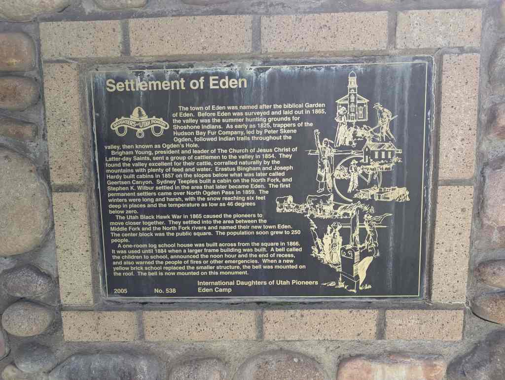
The town of Eden was named after the biblical Garden of Eden. Before Eden was surveyed and laid out in 1865, the valley was the summer hunting grounds for Shoshone Indians. As early as 1825, trappers of the Hudson Bay Fur Company, led by Peter Skene Ogden, followed Indian trails throughout the valley, then known as Ogden’s Hole.
Brigham Young, president and leader of The Church of Jesus Christ of Latter-day Saints, sent a group of cattlemen to the valley in 1854. They found the valley excellent for their cattle, corralled naturally by the mountains with plenty of feed and water. Erastus Bingham and Joseph Hardy built cabins in 1857 on the slopes below what was later called Geertsen Canyon. Sydney Teeples built a cabin on the North Fork, and Stephen K. Wilbur settled in the area that later became Eden. The first permanent settlers came over North Ogden Pass in 1859. The winters were long and harsh, with the snow reaching six feet deep in places and the temperature as low as 46 degrees below zero.
The Utah Black Hawk War in 1865 caused the pioneers to move closer together. They settled into the area between the Middle Fork and the North Fork rivers and named their new town Eden. The center block was the public square. The population soon grew to 250 people.
A one-room log school house was built across from the square in 1866. It was used until 1884 when a larger frame building was built. A bell called the children to school, announced the noon hour and the end of recess, and also warned the people of fires or other emergencies. When a new yellow brick school replaced the smaller structure, the bell was mounted on the roof. The bell is now mounted on this monument.
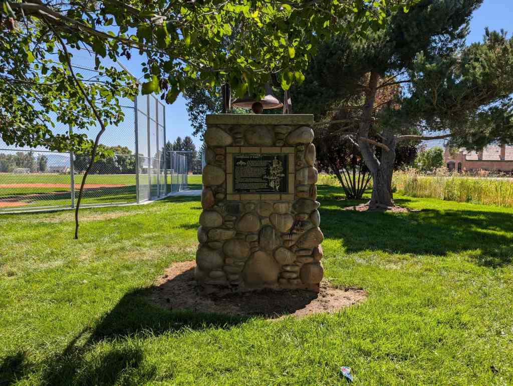
Daughters of Utah Pioneers historic marker #538, located in Eden Park at 5509 East 2200 North in Eden, Utah.
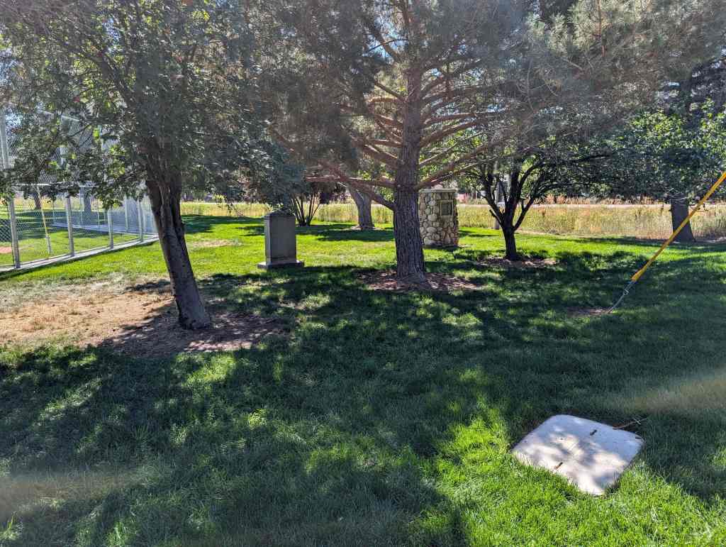
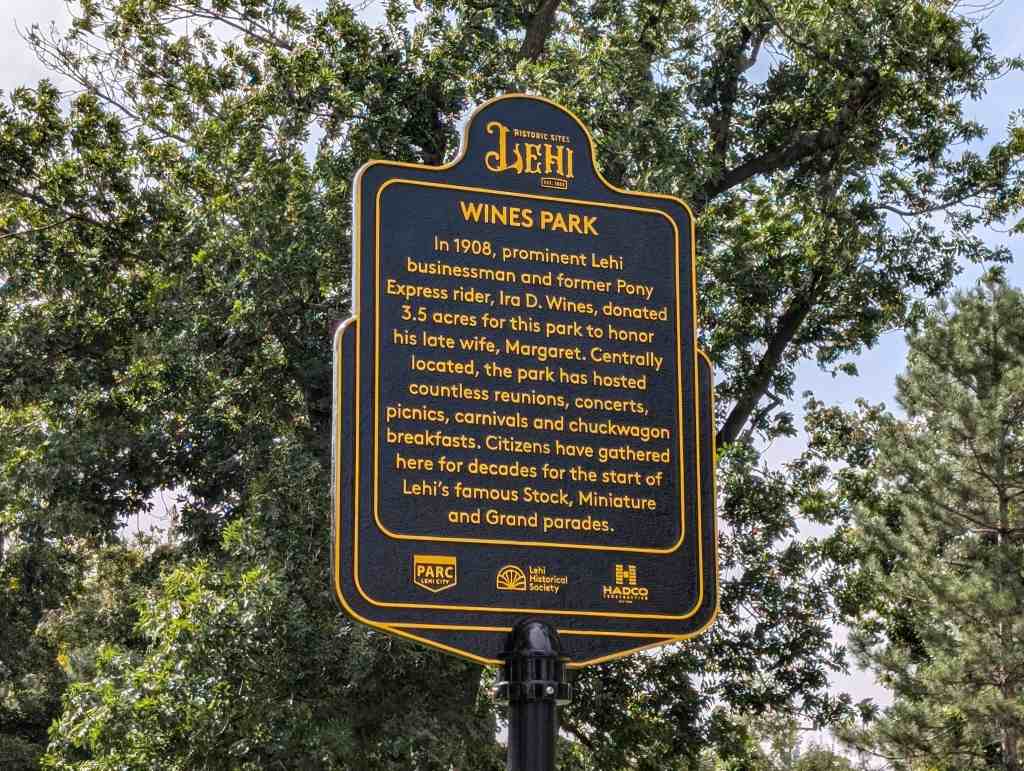
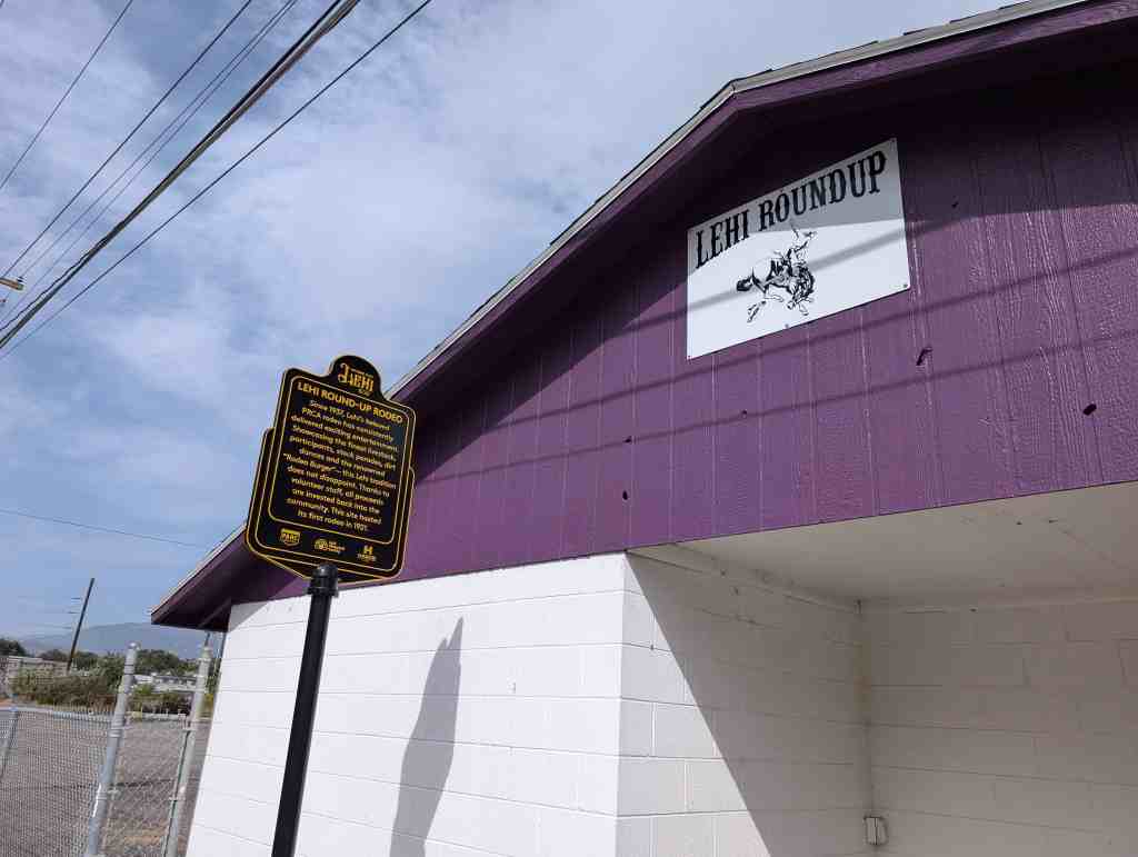
In 1908, prominent Lehi businessman and former Pony Express rider, Ira D. Wines, donated 3.5 acres for this park to honor his late wife, Margaret. Centrally located, the park has hosted countless reunions, concerts, picnics, carnivals and chuckwagon breakfasts. Citizens have gathered here for decades for the start of Lehi’s famous Stock, Miniature and Grand parades.
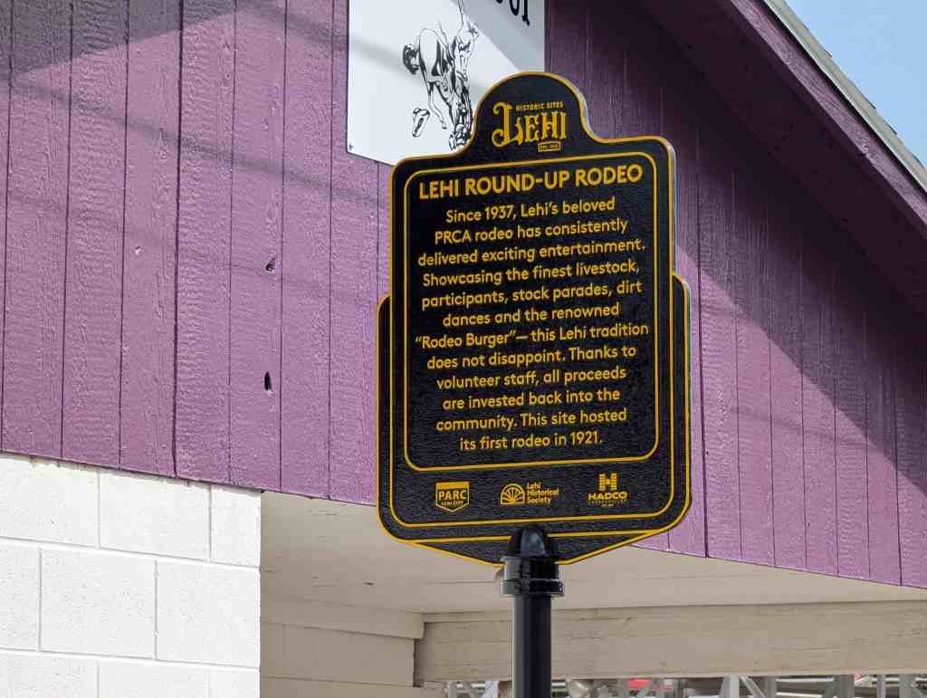
Since 1937, Lehi’s beloved PRCA rodeo has consistently delivered exciting entertainment. Showcasing the finest livestock, participants, stock parades, dirt dances and the renowned “Rodeo Burger” – this Lehi tradition does not disappoint. Thanks to volunteer staff, all proceeds are invested back into the community. This site hosted its first rodeo in 1921.
This historic marker is located at 166 North 500 West in Lehi, Utah
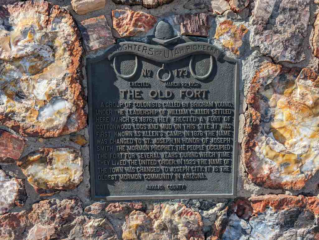
A group of colonists called by Brigham Young, under the leadership of William C. Allen settled here March 24, 1876. They erected a fort of cottonwood logs and mud on this site. It was first known as Allen’s Camp. In 1878 the name was changed to St. Joseph, in honor of Joseph Smith the Mormon Prophet. The people occupied the fort for several years during which time they lived the United Order. In 1923 the name of the town was changed to Joseph City. It is the oldest Mormon community in Arizona.
This is Daughters of Utah Pioneers historic marker #173. Erected on March 22, 1952 and located in Joseph City, Arizona.
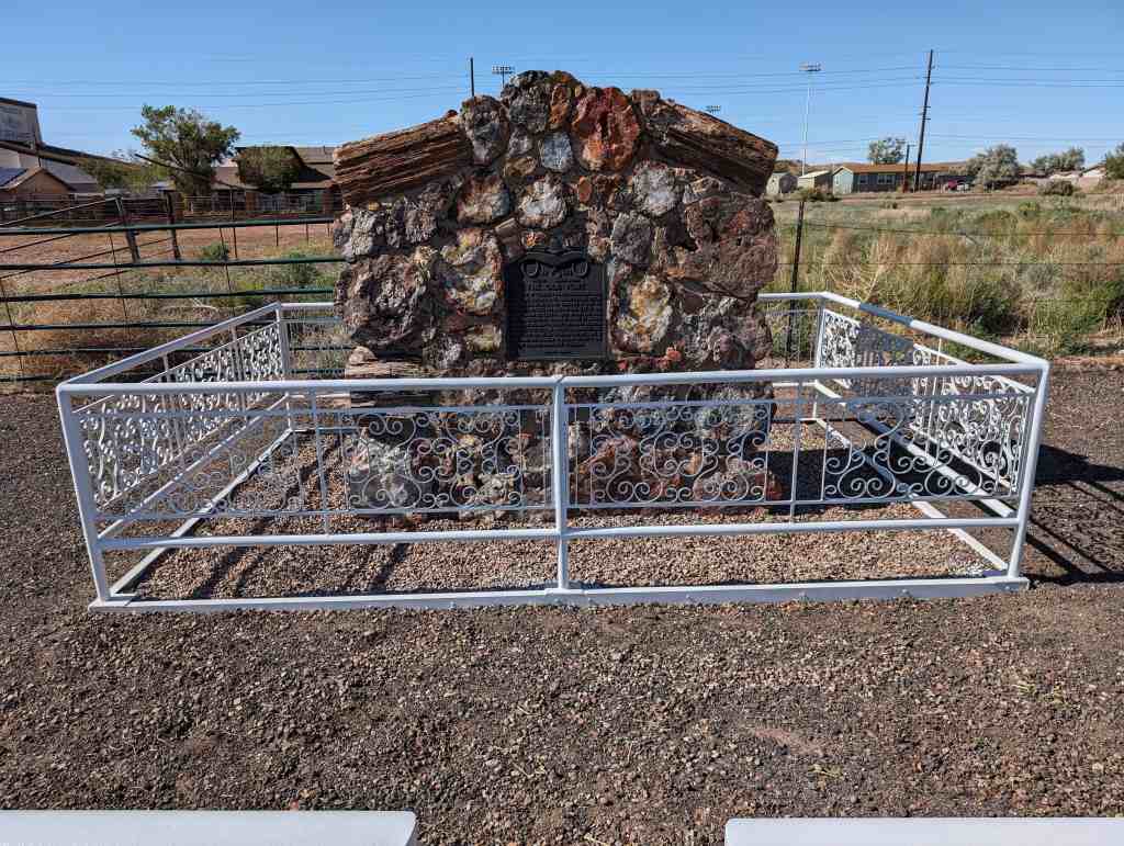
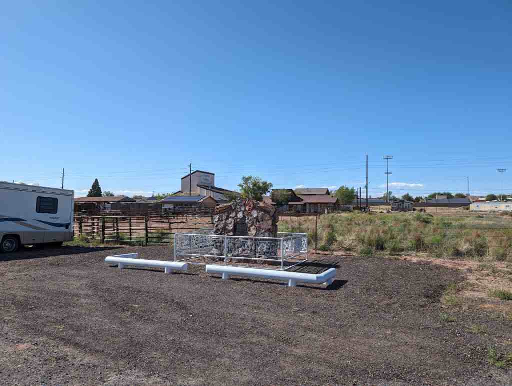
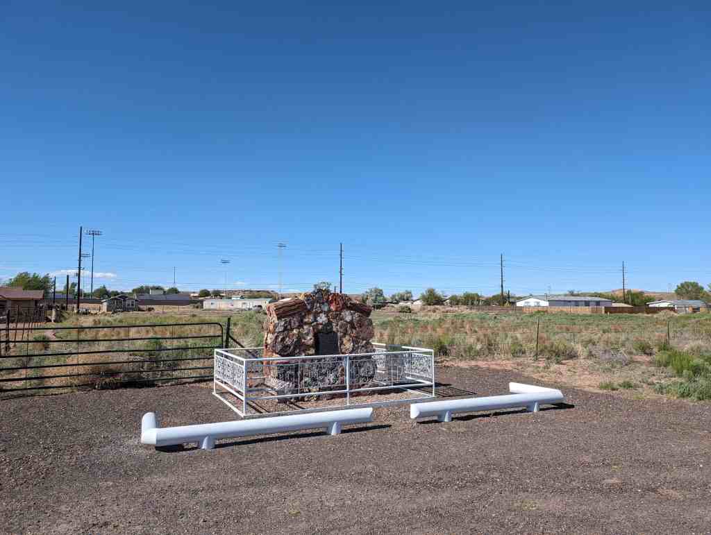
This memorial is the property of the State of Colorado
Three-quarters of a mile northwest from this point is the original Virginia Dale famous stage station on the Overland Route to California, 1862-1867. Established by Joseph A. (Jack) Slade and named for his wife, Virginia. Located on Cherokee Trail of 1849. Favorite camp ground for emigrants. Vice President of Colfax and party were detained here by Indian raids in 1865. Robert J. Spotswood replaced Slade.
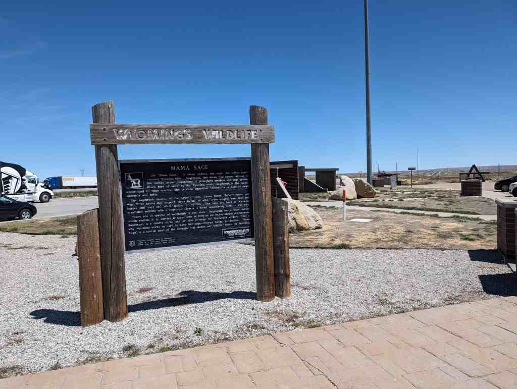
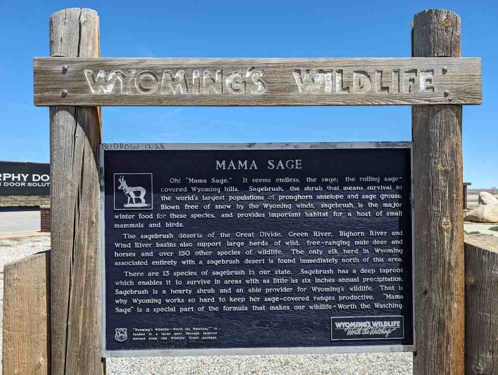
Oh! “Mama Sage.” It seems endless, the sage; the rolling sage” covered Wyoming hills. Sagebrush, the shrub that means survival to the world’s largest populations of pronghorn antelope and sage grouse. Blown free of snow by the Wyoming winds, sagebrush is the major winter food for these species, and provides important habitat for a host of small mammals and birds.
The sagebrush deserts of the Great Divide, Green River, Bighorn River and Wind River basins also support large herds of wild, free-ranging mule deer and horses and over 150 other species of wildlife. The only elk herd in in Wyoming associated entirely with a sagebrush desert is found immediately north of this area.
There are 13 species of sagebrush in our state. Sagebrush has a deep taproot which enables it to survive in areas with as little as six inches annual precipitation. Sagebrush is a hearty shrub and an able provider for Wyoming’s wildlife. That is “Mama why Wyoming works so hard to keep her sage-covered ranges productive. Sage” is a special part of the formula that makes our wildlife Worth the Watching.