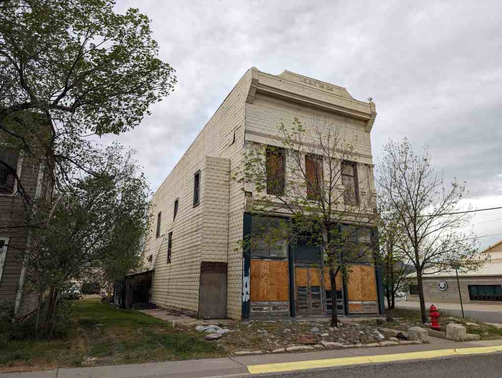
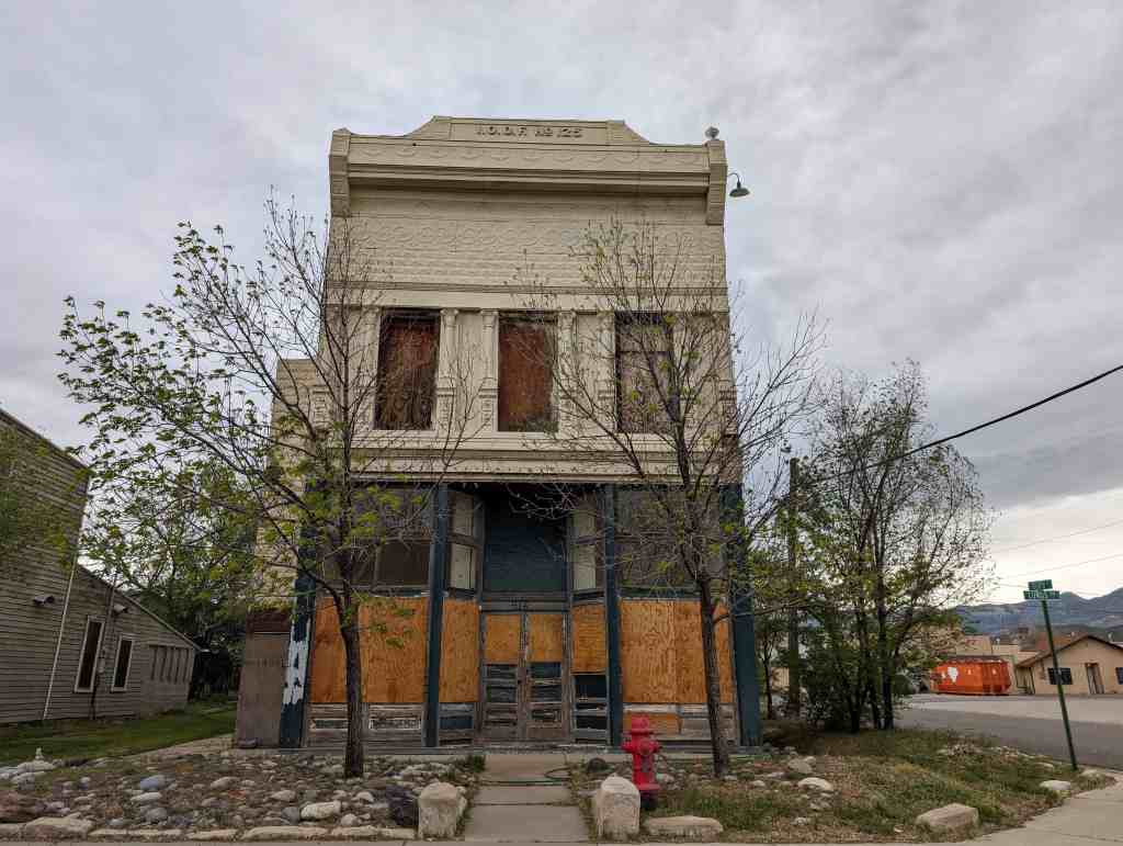
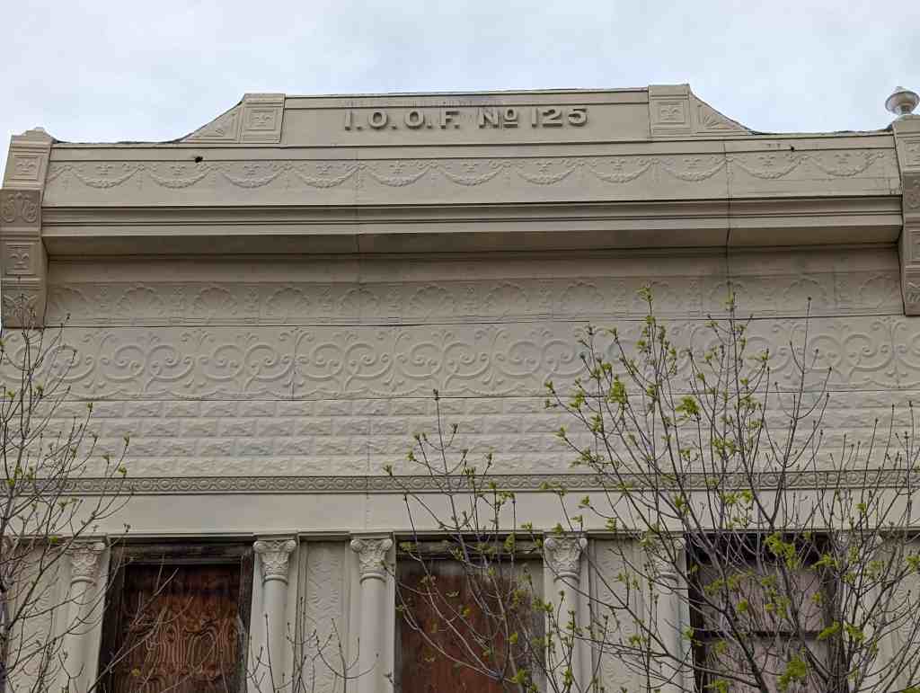
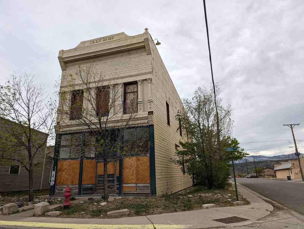
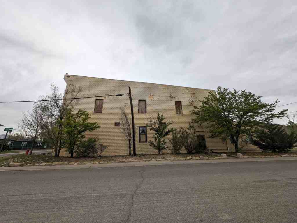
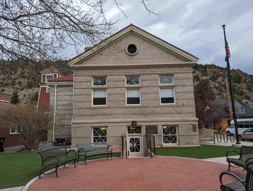
I.O.O.F. No. 125
29 Tuesday Apr 2025
Posted in Uncategorized

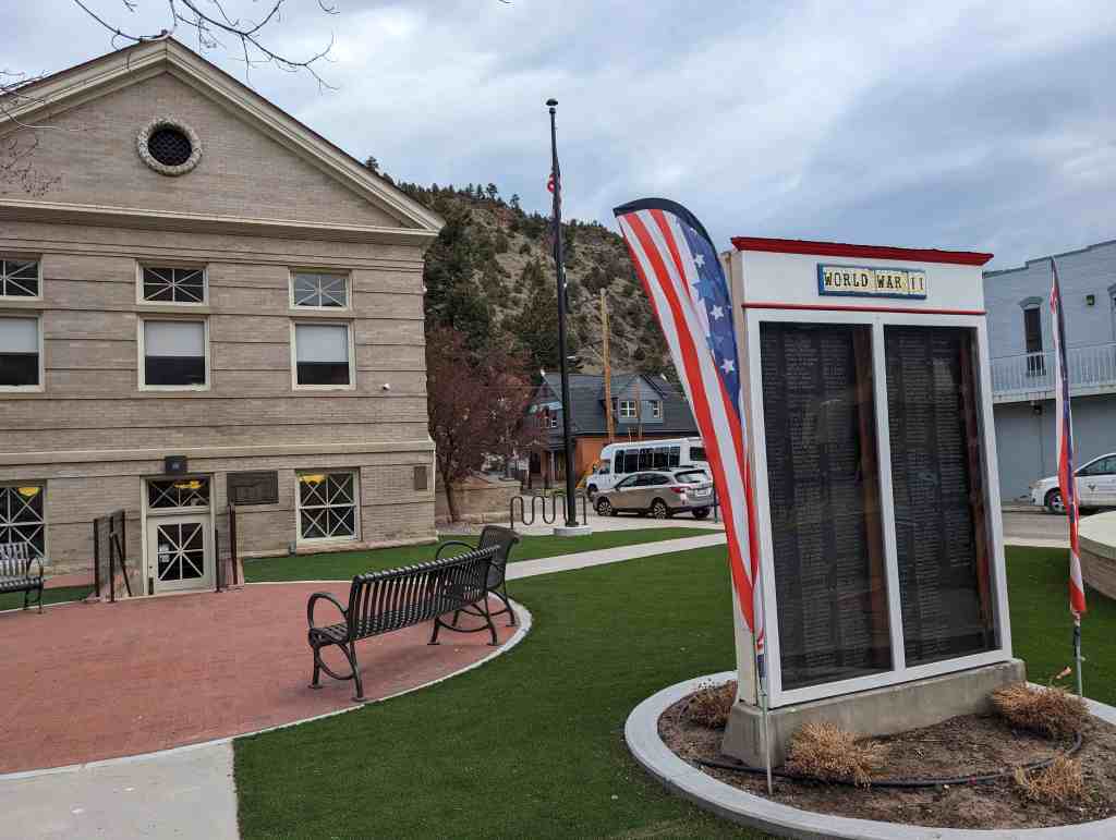
29 Tuesday Apr 2025
Posted in Uncategorized
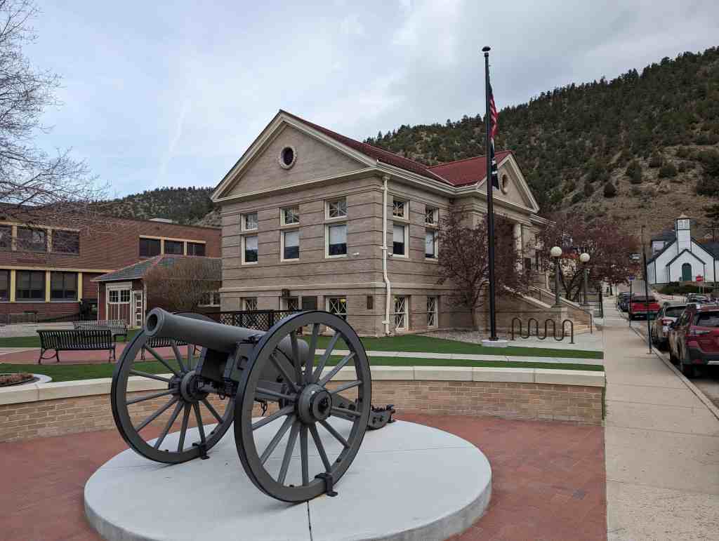
29 Tuesday Apr 2025
Posted in Uncategorized
11 Tuesday Mar 2025
Posted in Uncategorized

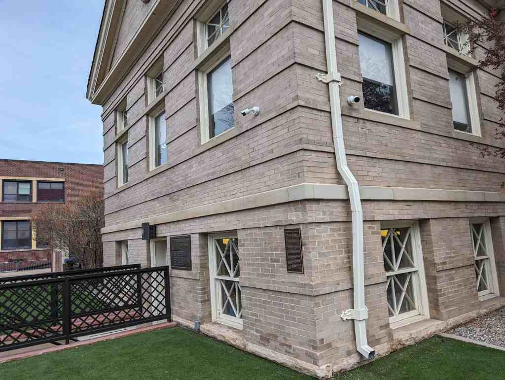
Idaho Springs Carnegie Library
Early in 1903 a group of citizens approached Andrew Carnegie with a request to support the construction of a public library in Idaho Springs. Mr. Carnegie required that the land must be donated, the city must provide funds to operate the library and supply a set of plans for his approval. The conditions were met and Mr. Carnegie donated over $10,000 for the construction. Construction was completed in 1904 and the building, almost unchanged as you see it, was dedicated and opened. The main, upper, floor is original. The door to the lower level was added sometime after 1904. For a number of years the Idaho Springs City Hall was housed in the lower level. After City Hall moved in 1986 the lower level was refurbished to provide additional space and a ramp was installed. It is an example of Colonial Revival style of architecture and one of the earliest remaining Carnegie funded libraries existing in Colorado.
219 14th Avenue in Idaho Springs, Colorado


27 Thursday Feb 2025
Posted in Uncategorized

This memorial is the property of the State of Colorado
Three-quarters of a mile northwest from this point is the original
Virginia Dale
famous stage station on the Overland Route to California, 1862-1867.
Established by Joseph A. (Jack) Slade and named for his wife, Virginia.
Located on Cherokee Trail of 1849.
Favorite camp ground for emigrants.
Vice President of Colfax and party were detained here by Indian raids in 1865.
Robert J. Spotswood replaced Slade.
09 Sunday Feb 2025
Posted in Uncategorized
Tags
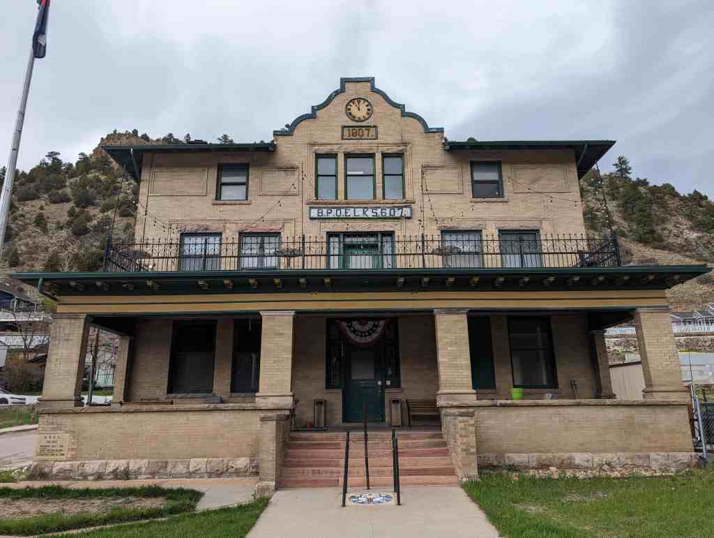
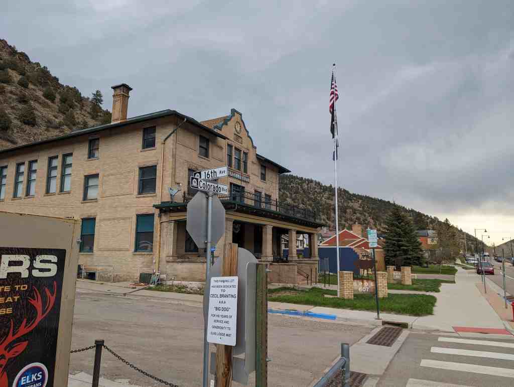
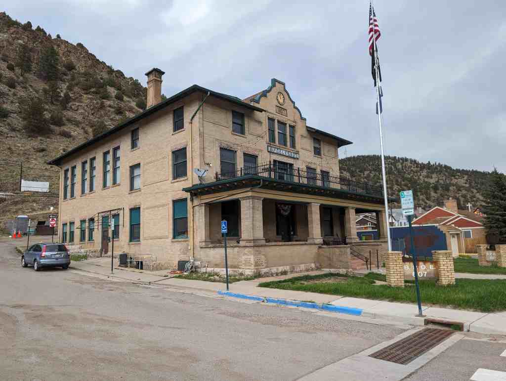
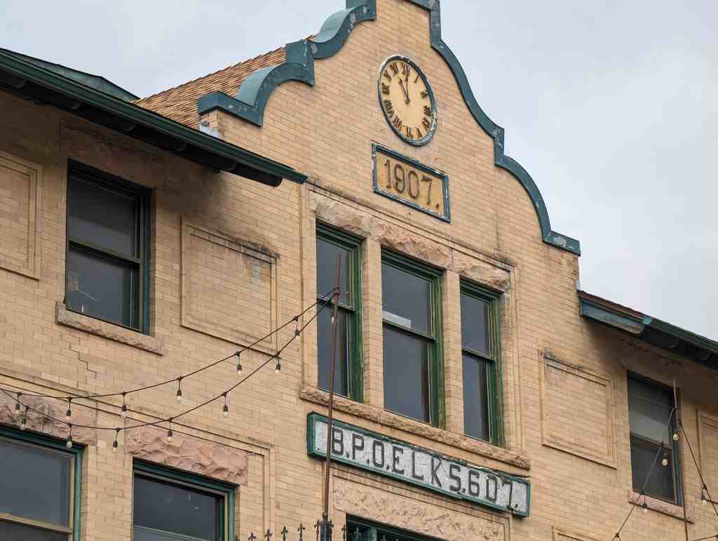
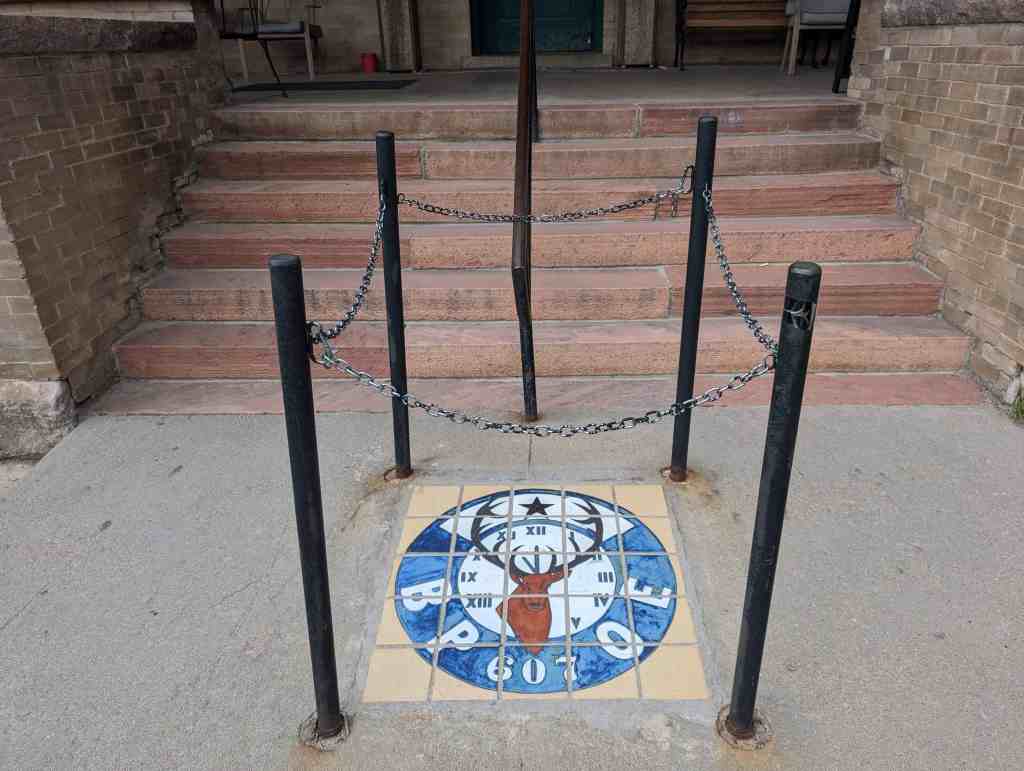
Idaho Springs Elks Lodge B.P.O.E. #607
Organized July 7, 1900
Erected AD 1907
Rededicated June 14, 2008
1600 Colorado Boulevard Idaho Springs, Colorado

28 Tuesday Jan 2025
Posted in Uncategorized
Tags
Brick American Gothic Revival Ecclesiastical, Chapels, Colorado, Historic Churches, Idaho Springs, Methodist, NRHP
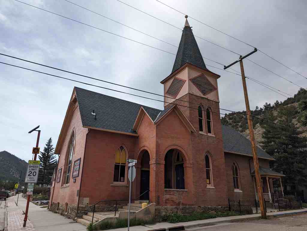
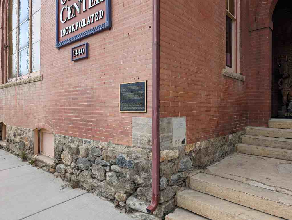
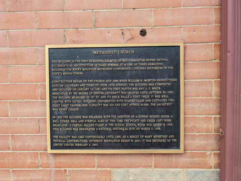
Methodist Church
This building is the only remaining example of Brick American Gothic Revival Ecclesiastical Architecture in Idaho Springs. It is one of three remaining buildings the Rocky Mountain Methodist Conference considers historical in the state’s mining towns.
Construction began on the church July 1880 when William H. Morton deeded three lots on Colorado and Third St. (now 15th Avenue). The building was completed and occupied on January 16, 1881 and its first Pastor was Rev. J. F. White. Dedication by Dr. Moore of Denver University was delayed until October 30, 1881. The building measured 52′ by 32′ and its brick walls a foot thick. It was well lighted with Gothic windows, ornamented with stained glass and contained two eight light chandeliers. Capacity was 220 and cost approx $4,000. The architect was henry Choate.
In 1905 the building was enlarged with the addition of a Sunday School room, a bell tower, bell and steeple. Also at this time the pulpit and choir loft were relocated. A partial second floor in the Sunday School room was added in 1965. This building was designated a National Historical site on March 5, 1998.
The facility was used continuously until 1990. As a result of many monetary and physical contributions, intensive renovation began in 2001; it was reopened as the United Center February 8, 2003.
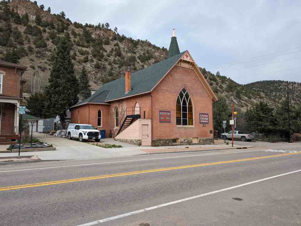
1440 Colorado Boulevard Idaho Springs, Colorado


25 Sunday Aug 2024
Posted in Uncategorized

Idaho Springs, Colorado
Sites on Miner Street:
24 Thursday Mar 2022
Posted in Uncategorized
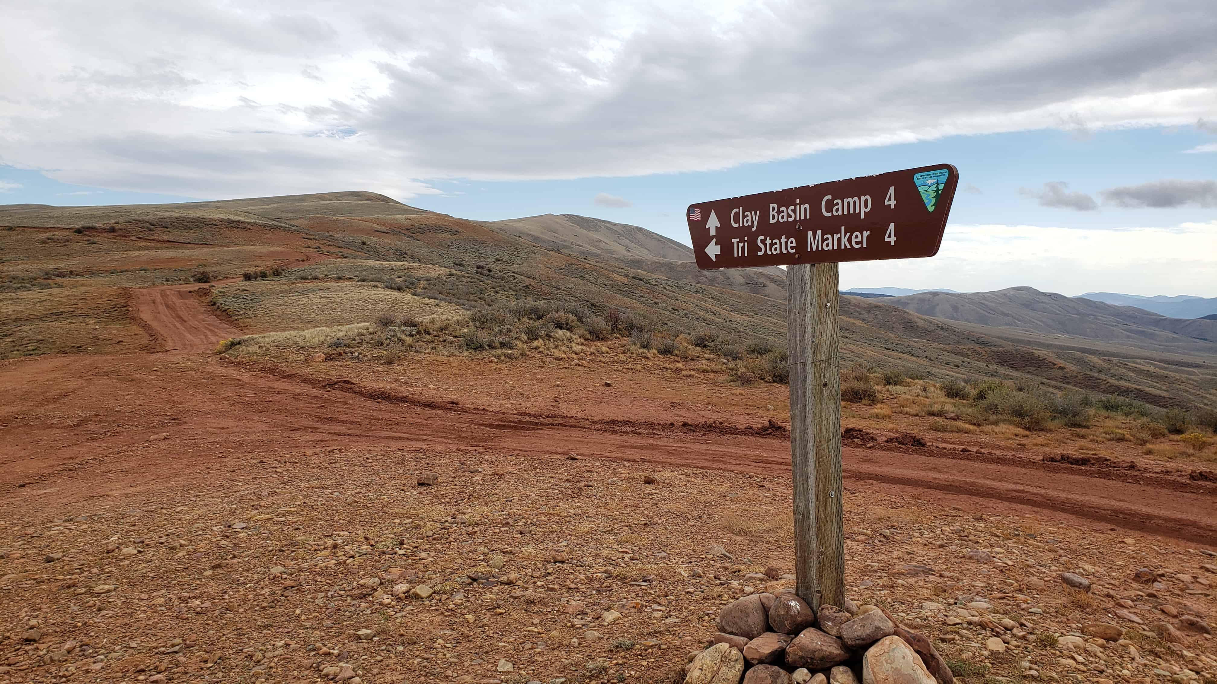
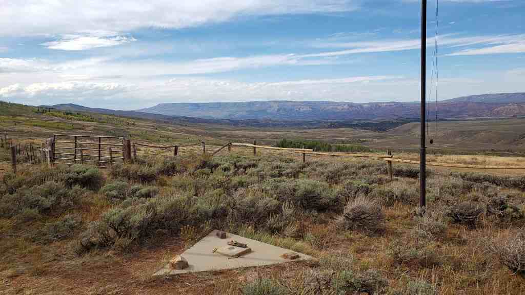
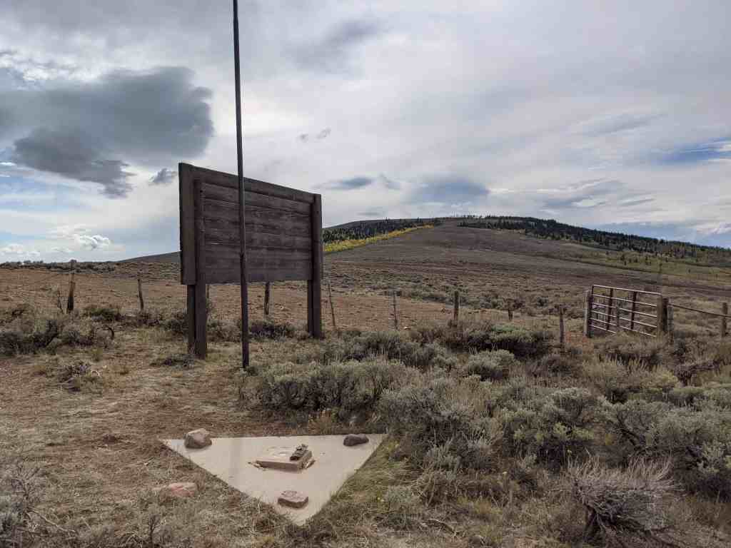
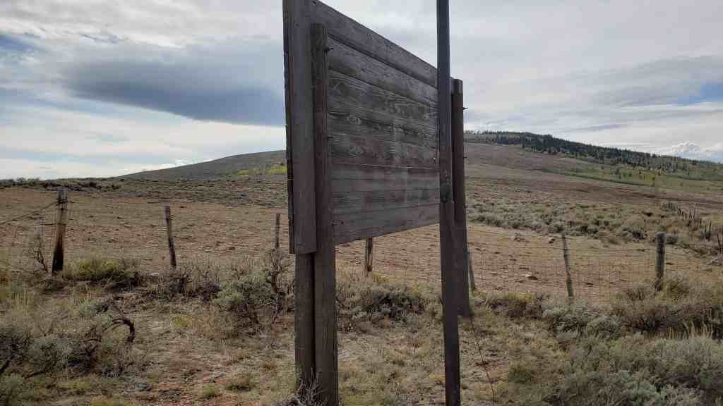
A Tri-State Marker at the corner of the state boundaries for Colorado, Utah and Wyoming.
Related:

There is a sign on site that reads:
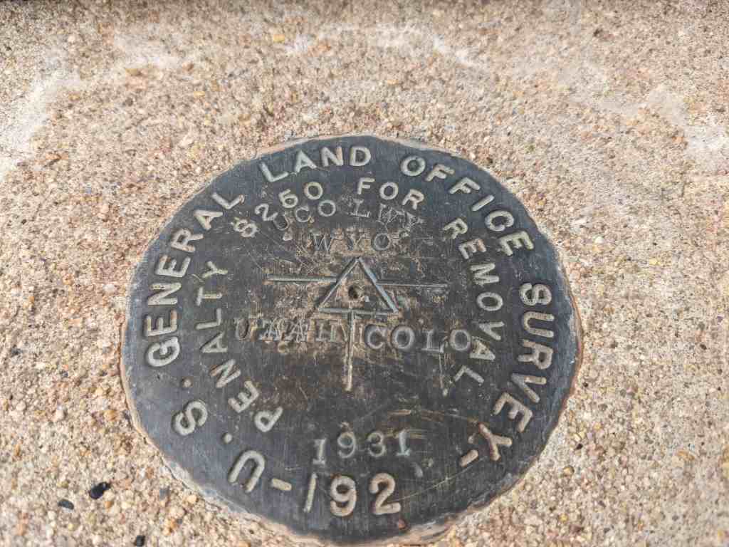
Public Land Survey Monument
Tri-State corner of Wyoming, Utah and Colorado
Lat. 41° 00′ 42.616″ N Long. 109° 02′ 42.158″ W. Elevation 8402′
This point was monumented by U.S. surveyor, Rollin J. Reeves, on July 19, 1879, while completing the survey of the western boundary of the State of Colorado and the east boundary of Utah Territory. The boundary line separating Wyoming Territory from Colorado and Utah Territories was surveyed by U.S. surveyor, A.V. Richards in 1873. The original monument was found to be disturbed in 1931 and was remarked by U.S. Cadastral Engineer, E.V. Kimmel, with a brass tablet seated in a concrete monument. This monument is one of the corners of the national Rectangular Cadastral Survey System, inaugurated in 1785, that has aided the development and orderly settlement of the public lands in the western states. From these monuments, state and local governments and private citizens are provided with easily identifiable boundaries. Such monuments serve as a base for the work of private surveyors in making accurate land subdivisions and descriptions.
This historical tri-state monument was erected by the Kiwanis Club and Boy Scout Troop 166 of Craig, Colorado in cooperation with the Bureau of Land Management dedicated on September 18, 1999.


06 Wednesday Dec 2017
Posted in Uncategorized
25 Sunday Dec 2016
Posted in Uncategorized
Tags

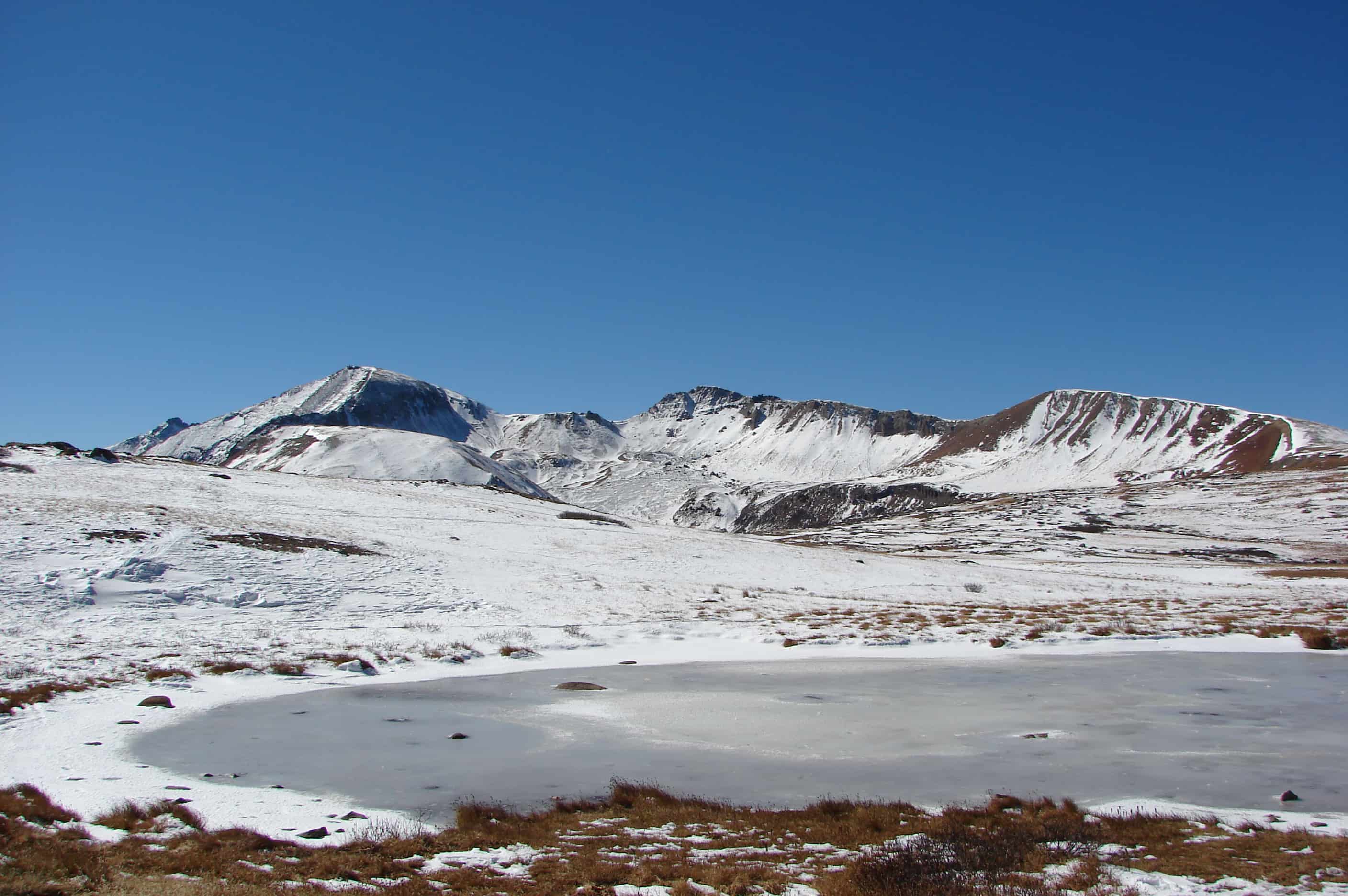
Independence Pass, originally known as Hunter Pass, is a high mountain pass in the Rocky Mountains of central Colorado in the United States. It is at elevation 12,095 ft on the Continental Divide in the Sawatch Range. The pass is midway between Aspen and Twin Lakes, on the border between Pitkin and Lake counties.