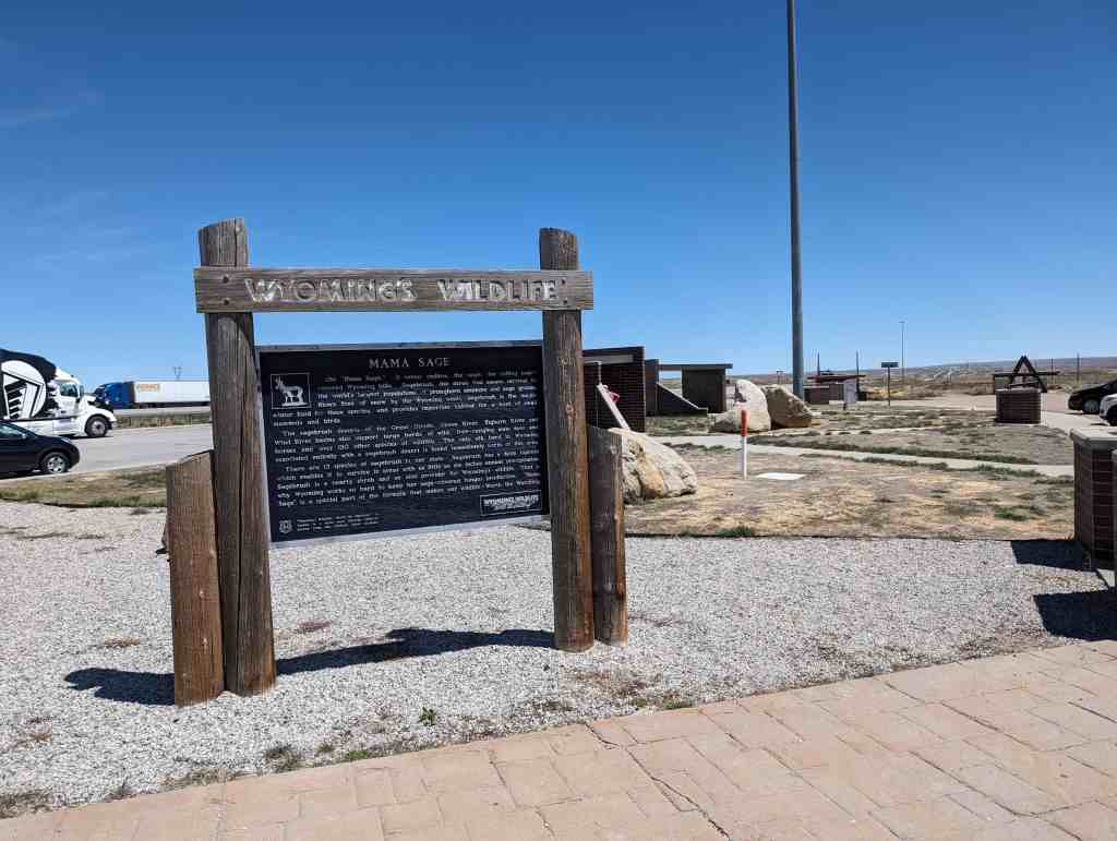
Mama Sage
Oh! “Mama Sage.” It seems endless, the sage; the rolling sage” covered Wyoming hills. Sagebrush, the shrub that means survival to the world’s largest populations of pronghorn antelope and sage grouse. Blown free of snow by the Wyoming winds, sagebrush is the major winter food for these species, and provides important habitat for a host of small mammals and birds.
The sagebrush deserts of the Great Divide, Green River, Bighorn River and Wind River basins also support large herds of wild, free-ranging mule deer and horses and over 150 other species of wildlife. The only elk herd in in Wyoming associated entirely with a sagebrush desert is found immediately north of this area.
There are 13 species of sagebrush in our state. Sagebrush has a deep taproot which enables it to survive in areas with as little as six inches annual precipitation. Sagebrush is a hearty shrub and an able provider for Wyoming’s wildlife. That is “Mama why Wyoming works so hard to keep her sage-covered ranges productive. Sage” is a special part of the formula that makes our wildlife Worth the Watching.
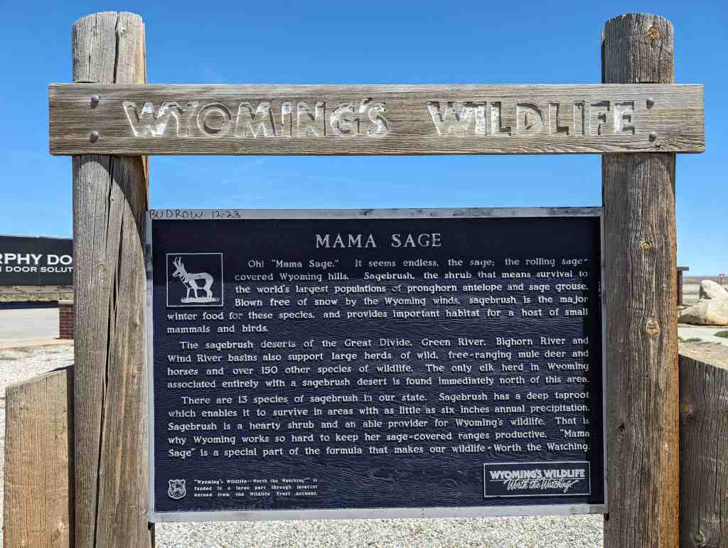
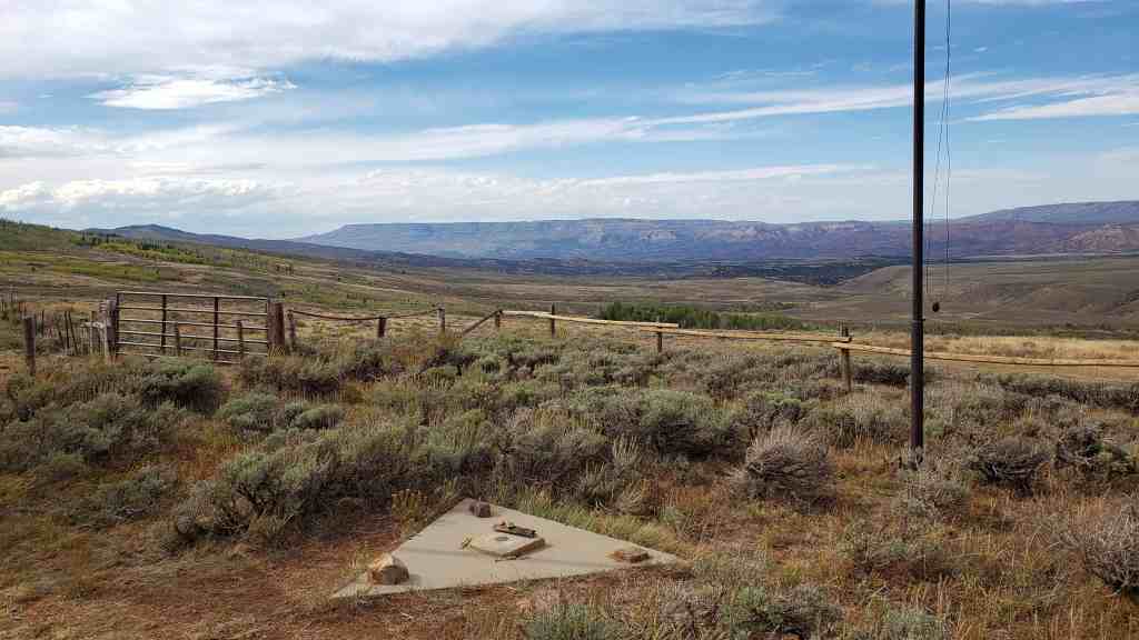
Located at the Bitter Creek Rest Stop on Interstate 80, Eastbound, east of Rock Springs, Wyoming.