Tags
The old Spanish trail used by the Spaniards from 1829 to about 1849 as a trade route from Santa Fe, New Mexico to San Bernardino, California, was used by pack animals.
In 1849 a group of people, mostly from the Midwest, seeking gold in California were met by Jefferson Hunt and took the first wagons over portions of this route from Central Utah to Northwest Arizona- Southern Nevada into California.
The reason that the group took the Southern route from Salt Lake instead of the more direct western road was winter was getting close. With the fate of the Donner Party fresh on their minds, they didn’t want to try to cross the Sierra Mountains.
The Spanish Trail through the present Washington County Utah came down Holt Canyon through the mountain meadows – down the Santa Clara Creek-up over Utah Hill at about the same place the old Highway 91 goes. At the mouth of the Beaver Dam Wash it followed the Virgin River for several miles.
The road down the Virgin River had many drawbacks. The Natives living along the river were troublesome. The Road Cris-crossed the river some 40 times. Quick sand was prevalent. High water in the wintertime and flash floods in the summertime were always the possibility. Then after leaving the river and climbing what was called the Virgin Hill to the Mormon mesa the road was so steep it was impossible for animals to pull a heavy load.
As the freighting business between Salt Lake City and San Bernardino grew, this route was impractical.
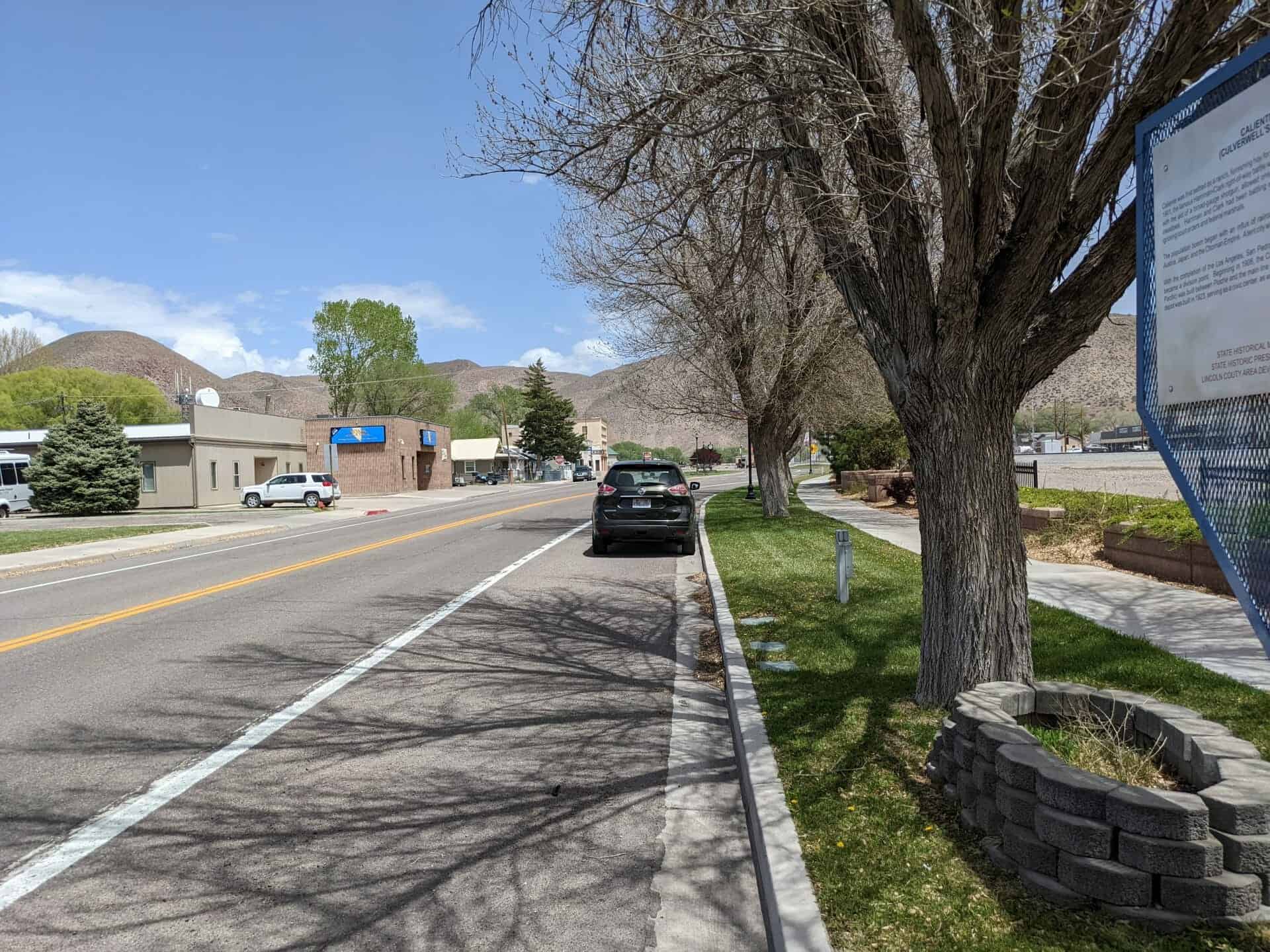
In 1869 a new road was opened. It was known as the Miller cut off- The Freight Wagon Road – or The Mormon Wagon Road.
This Roads left the Spanish trail (Highway 91) just north of the Arizona line going west to the Mormon well on the Beaver Dam Wash. This was the last water for some 35 miles. It crossed into. Nevada about 4 mi. south of the 3 corners of Utah, Arizona & Nevada. Going West-Southwest 17 miles onto the Mormon Mesa-across the Mesa to the muddy river at Glendale Nevada.
This route had some hard pulls through sand, the climb out of the Beaver Dam Wash and through the Toquop Wash, but it was a much better road for heavy wagons. The biggest problem was lack of water
in the summer heat.
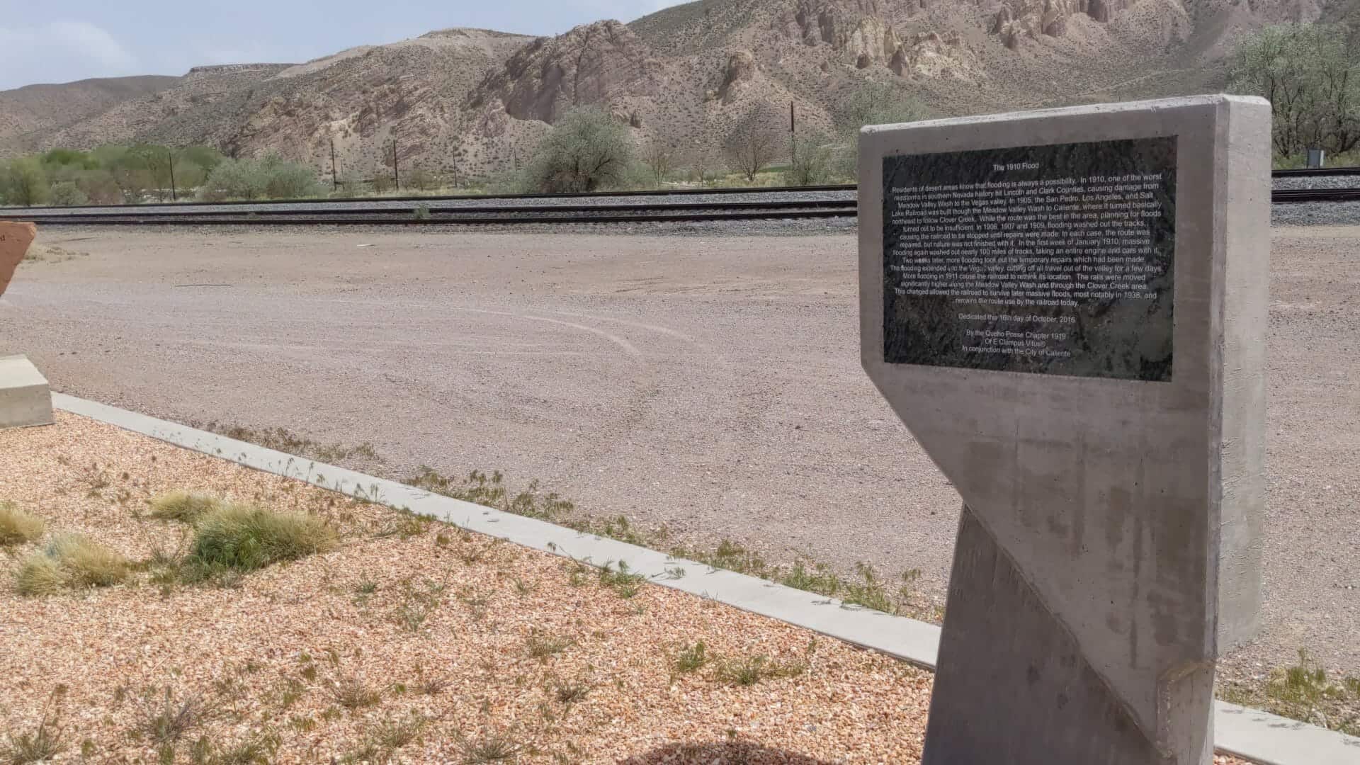
The following story is taken from the book Red Hills of November by A. Karl Larson. The only discrepancy that I find is Davidson and his wife were found 15 mi. from the Mormon well instead of 5
mi..
PERILS OF THE ROAD: THE DAVIDSON TRAGEDY
The road connecting the settlements of the middle and upper Virgin area with the settlements on the Muddy was a difficult one from any point of view From Beaver Dams to the Muddy there were two The road connecting the settlements of the middle and upper Virgin area with the settlements on the routes, each in its own way about as objectionable as the other. If the traveler followed the Virgin, he whole distance, and many of the crossings-nearly forty in number-between Beaver Dams and St war assured of plenty of water; but the road criss-crossed from one bank of the Virgin to the other the Thomas were dangerous because of the quicksand in the river bed, as well as the high water during the spring run-off and the flash floods of the summer season.
The other route left the Beaver Dam Wash a Mormon Well, several miles north of the junction of the Wash with the Virgin River, and cut across the flat expanse of Mormon Mesa, a distance of better than thirty miles to the point where the road struck the Muddy River. There was no water on this stretch of road; and while a distance of thirty-odd miles without water was not extremely difficult to negotiate, a considerable part of this distance was sandy and slowed travel considerably. To the initiated it offered no great peril: but to the inexperienced it could be dangerous. It was not considered wise to travel it alone.
On Thursday, June 3, 1869, George Jarvis, William Webb, and John E. Lloyd were sent to the watering place at the Beaver Dam Wash to clean out and deepen the well at that place in order to make more water available to travelers. They were there for several days. On Saturday evening, June 12th, a horse, much in need of water, strayed into the camp of the well-diggers. The men watered and fed him and kept him tied on the assumption that the animal belonged to some traveler. Next day toward evening William Webb went out to look around, no travelers having shown up to claim the horse. He found just a scant half-mile from the camp the body of a boy whose face and body were so bloated from exposure to the intense heat of the sun as to be unrecognizable. The empty canteen and gallon keg by his side bore eloquent testimony of the cause of his death. He was one of three who perished on the desert from thirst-James Davidson, his wife, and their twelve-year-old son. The men at the well buried the boy and placed a marker at the grave.
The Davidsons, recent converts from Scotland, came to Washington when the Factory began operations sometime around the end of 1856 or the beginning of 1867. Davidson was an expert machinist and superintended the installation of the machinery in the Factory Just why they were on the Muddy is not clear, but they left St. Thomas to return home on the 9th of June, 1869, in company the wheels of their outfit. Benjamin Paddock went out and put the tire on and wedged it up for them. with a group going to St. George. Between St. Thomas and St. Joseph (Logandale) a tire ran off one of This mishap delayed them so that they were unable to reach St. Joseph that night; but their intent seems to have been to reach that place before the company left the next morning. Paddock says he warned them not to try to cross the desert alone if the company had already gone.