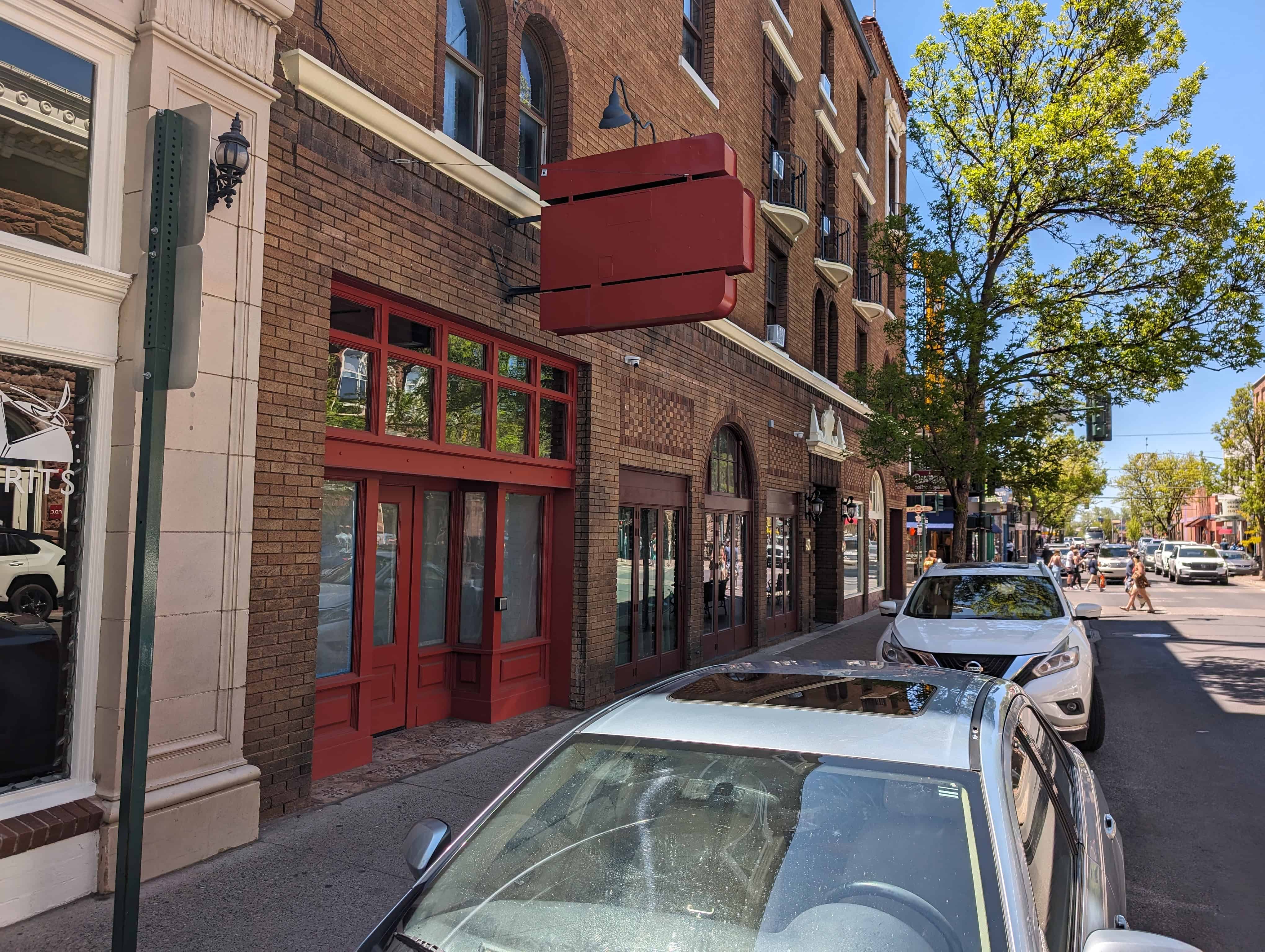
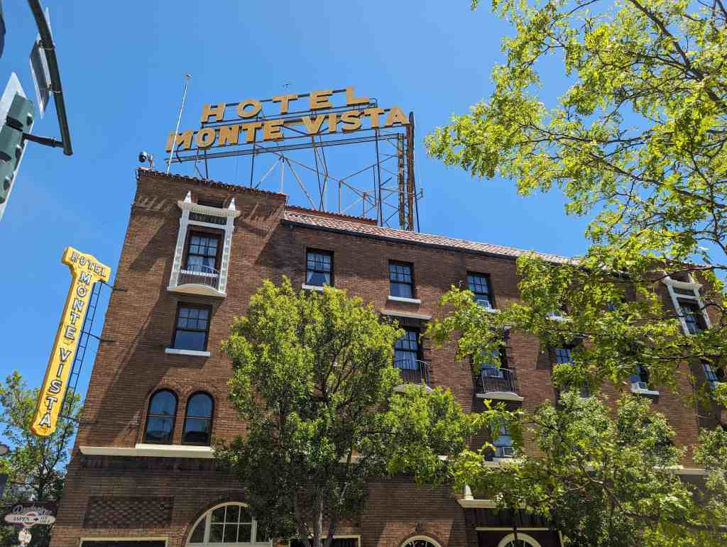
Hubbell Trading Post
The mobile trader often was the first contact the Indians had with the white man. His products strongly influenced their material culture and economic society. As the middle man, he played a part in their adjustment to the ways of the whites. When the trader later became a resident on a reservation, he provided needed food, as well as materials for Indian crafts, and helped the Indians to adapt to the new environment and culture by advice and encouragement, contributing to the eventual control and adjustment of the Indians. His welfare depended on the Indian and the Indian’s on him.
The Hubbell Trading Post, established in 1878 on the Navajo Reservation, is a unique example of the work of these men. It was the most important trading post on the reservation, has been operated for more than 80 years by the same family, and was the first of a chain of Hubbell posts on the reservation.
Navajo trade was considerably influenced by John Lorenzo Hubbell. He is probably more responsible than any one individual for the development of Navajo crafts as a native industry. He took part in helping them to develop their native economy and to adjust to new conditions. His reputation for fairness and good counsel permeated new trading enterprises from which the Navajos also benefited.
Few changes have been made in the present well-preserved post and house, which replaced a smaller structure about 1900, and barn and utility building. The appearance of these structures, built mainly of native stone, differs little from other trading posts on the reservation. However, the house interior, with furnishings from the late iSOd’s, collections of old Indian crafts, old firearms, paintings, photographs, books, and large numbers of Navajo rugs, reflects the personality and interests of the man and his time.
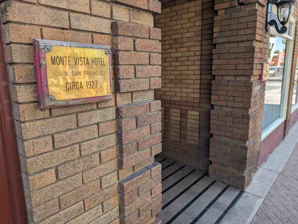
The Hubbell Trading Post is located in Ganado, Arizona and was added as a National Historic Landmark (#66000167) on December 12, 1960
During the heyday of the Indian trader the Hubbell Trading Post was perhaps the most important trading post in the Southwest. From 1876 through the first two decades of the 20th century the post was the center of commercial, cultural, and social life on the vast Navajo Reservation, and Don Lorenzo Hubbell, founder of the post, the most influential white man on the reservation. The trading post, moreover, became a haven for many noted artists, who enjoyed Don Lorenzo’s famed hospitality while portraying Navajo life. Mr. Hubbell was also active in territorial politics and played an influential role in the movement leading to Arizona statehood.
As a well-preserved specimen of the reservation trading post, this site attains its greatest significance and historical value. The role of the trading post in frontier history has generally been slighted, and in the Hubbell Trading Post, which is still an operating business concern, one may observe this institution functioning very much as it did in the late 19th century.
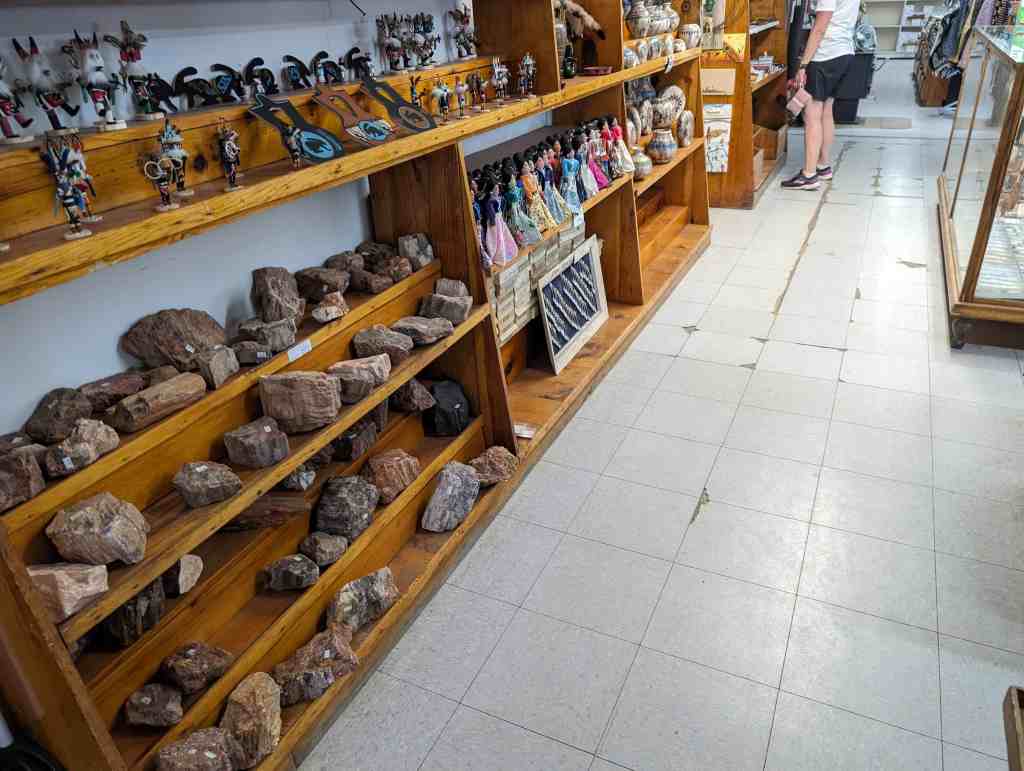
The post has been in the Kubbell family since its establishment, and great care has been taken to preserve its historical atmosphere. All of the buildings are of stone, solidly constructed and in good condition. The post proper consists of a sales room, a large storage room, and two rooms used as offices. There appears to have been very little modern improvement, either exterior or interior, and the post looks much as it did’in 1890. The room adjoining the office houses many pioneer artifacts, a large portion of the Hubbell art collection, and the records of the post from the beginning. Many works of art also hang on the office walls, together with photographs of prominent persons inscribed to Don Lorenzo Hubbell. One is of Theodore Roosevelt, who at one time was a guest at the post. The Hubbell house, built in the 1890’s, stands behind the trading post. Period furnishings, walls covered with art work depicting Indian themes and personages, an extensive and diversified library, and (like the trading post) viga ceilings covered with Indian basketry, characterize most rooms of the house. Some half-dozen bedrooms open from the large living room, which is dominated by a fireplace. A small patio seta off this area from the dining room and kitchen. Only in the kitchen, equipped with modern appliances, does one lose the flavor of the old post. In addition to the trading post and house, a large stone barn, a corral, and quarters for employees occupy the premises.
BRIEF SURVEY OP OLD NAVAJO TRADING POSTS
In the last decades of the 19th century and the opening decades of the 20th, the institution of the reservation trading post reached its most highly developed and Influential level on the Navajo and Hop! reservations of the Southwest. The character of the Indian trade here has been detailed and its significance assessed in Robert M. Utley, “Special Report on Hubbell Trading Post, Ganado, Arizona,” Santa Fe, 1959. In this report, too, the significance of John Lorenzo Hubbell and the Hubbell Trading Post at Ganado was established and the conclusion reached that the Hubbell Trading Post possesses important historical values and is today the best surviving example of the oldtime trading post.
The following brief survey is intended to reinforce the conclusion that other trading posts do not offer better opportunities for portraying this phase of American history. It is limited to trading posts that originated earlier than half a century ago and that may have an oqual claim In academic significance to that of the Hubbell post.
Assisting in preparing this survey was Superintendent Meredith Guillet of Canyon de Chelly National Monument. As the son of an early trader to the Navajos, Mr. Guillet was reared in the trading environment and is an expert on Navajo trading posts. In a memorandum of February 4, 1963, to the Regional Director, Southwest Region, Mr. Guillet says: “The Lorenzo Hubbell Post at Ganado, Arizona, stands alone as the only one which has retained its original site, buildings, and character. I know of no modern trading post that would remotely approximate in value that of Hubbell Trading Post as a Historic Site.”
Fort Wingate, New Mexico
Port Wingate, having occupied a site farther east during the Civil War years, was established at Ojo del Oso in 1868 to keep watch on the Navajos, who had been permitted to move from captivity at Fort Sumner back to their homeland. The sutler’s store at Wingate at once acquired a large Havajo trade. Frequently changing hands, it endured over the decades as one of the more important Navajo trading posts. The original store is now gone.
Fort Defiance, Arizona
The Navajo Agency was established at old Fort Defiance, a pre-Civil War military post northwest of Wingate, when the Navajos returned from Fort Sumner in 1868. Defiance was the birthplace of the reservation trading post as a Navajo institution. The first post opened concurrently with the agency, and as long as the agency remained here there was a succession of traders and trading posts—none now represented by a historic building.
Keam’s Canyon, Arizona
Among the early traders, Thomas Varker Keam ranks with Hubbell, Cotton, Moore, and the Wetherills in the deep mark he left on the history of the southwestern Indian trade. He established himself at Ream’s Canyon in 1875 and traded there, primarily with the Hopis, until 1902, when he returned to his native England and died two years later. Although Ream’s Canyon is still a major trading center, none of Thomas Ream’s buildings remain to commemorate his activities.
Oljato, Arizona
John and Louisa Wetherill were among the earliest to trade on the remote western portion of the Navajo reservation. They established themselves at Oljato, in partnership with Clyde Colville, in 1906 and traded there with the followers of the famous Navajo chief Hoskinini until 1910. The post has continued to operate since then under a succession of proprietors. The original buildings, however, have been considerably remodeled and modernized.
Kayenta, Arizona
In 1910 John Wetherill moved from Oljato to Kayenta, thirty miles distant, and built the trading post that in the next two decades became one of the most famous in the Southwest. The building is still standing but has been modernized and the former storeroom converted into a lunchroom.
Crystal, New Mexico
J. B. Moore built the Crystal trading post in the Chuska Valley in 1897 and managed it until 1912. His influence on the local blanket makers was marked, and they wove products of high quality and distinctive design that, through Moore’s ambitious promotional program, became widely known in the East. Charles Newcomb ran the Crystal post from 1919 to 1936. It is still active, but the buildings have been remodeled and rebuilt so extensively as to leave little of the original appearance.
Chinle, Arizona
Several posts and traders, including Hubbell and Sam Day, operated at Chinle, but the old posts have either fallen into ruin or disappeared. The present Chinle post, operated by Camille Garcfa, incorporates some of the original walls of Lorenzo Hubbell’s 1886 trading post but has been drastically modernized. It illustrates, says Frank McNitt, the new trend in Navajo trading–“the transition of the Indian trader to super market operator.”
Thunderbird, Arizona
The Thunderbird stands adjacent to the headquarters of Canyon de Chelly National Monument. Sam Day built it in 1898, and after a series of owners it was acquired in 1919 by L. H. McSparron, who named it the Thunderbird. During the 1920s and 1930s it achieved some notoriety because of McSparron’s role in reviving high-quality blanket weaving and because of its guest facilities for visitors to the national monument. Although the original store itself has suffered no major impairment and still serves as a trading center, an adjoining restaurant and motel detract from the historic appearance.
Shiprock, New Mexico
Two trading posts operated near the famous Shiprock landmark in the early years of the century. Walker and Hubbard ran the one now standing and sold it about 1912 to Will Evans. The establishment today operated as the Shiprock Trading Company retains little if any of the original structure.
Round Rock, Arizona
Stephen E. Aldrich founded the post at Round Rock in 1890, and under his aggressive management it swiftly attained important rank among Navajo trading posts. Still an active post, it has been remodeled and expanded, leaving little of the original structure.
Pueblo Bonito, New Mexico
The Pueblo Bonito post was important for its associations around the turn of the century with Richard Wetherill, whose many attainments included success at Indian trading. Wetherill was murdered at his trading post by a Navajo Indian. The Wetherill post has been obliterated and the stone moved to another location.