Flagstaff Federal Building
21 Sunday Dec 2025
Posted in Uncategorized

21 Sunday Dec 2025
Posted in Uncategorized
19 Friday Dec 2025
Posted in Uncategorized
Tags
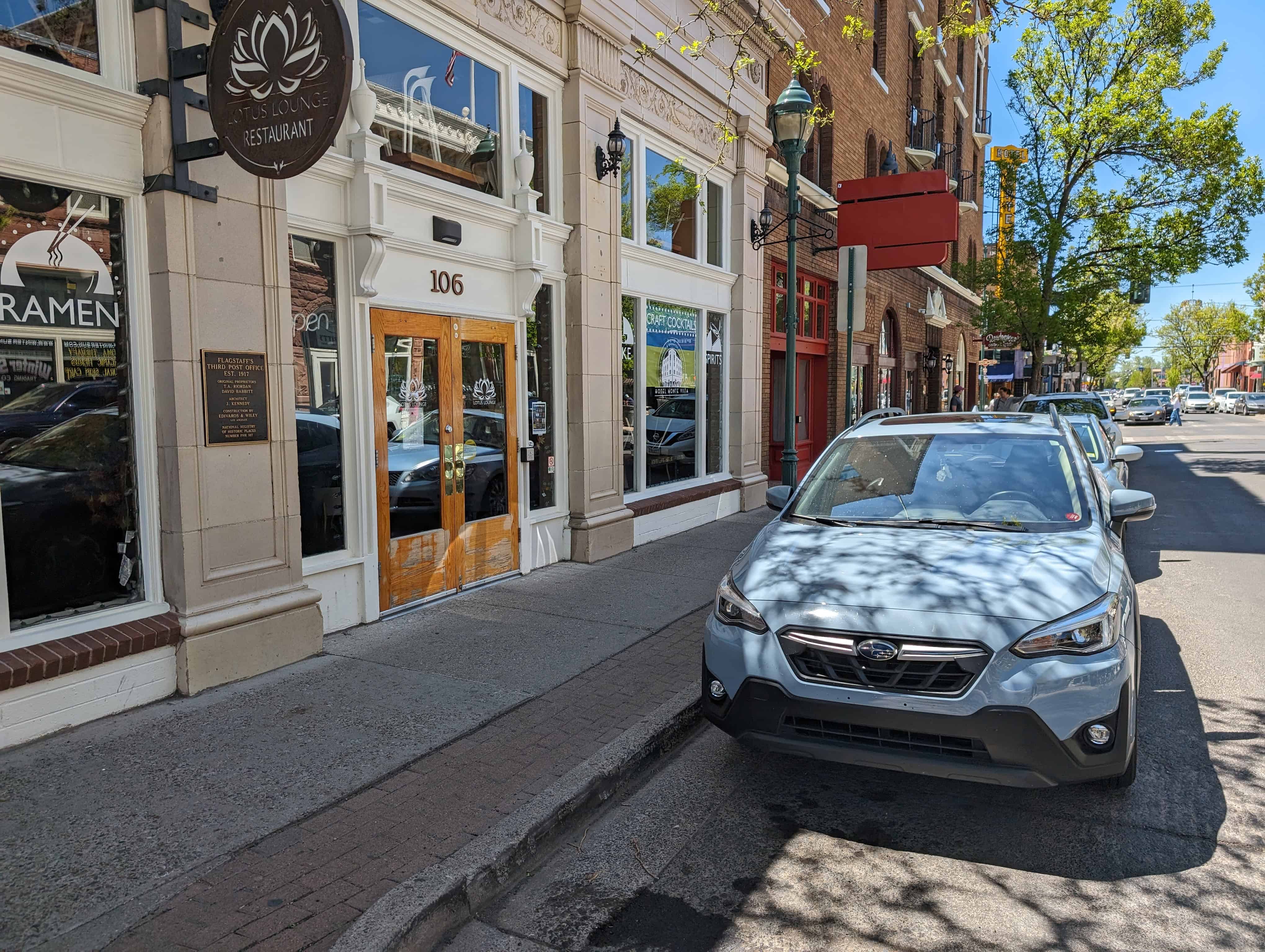
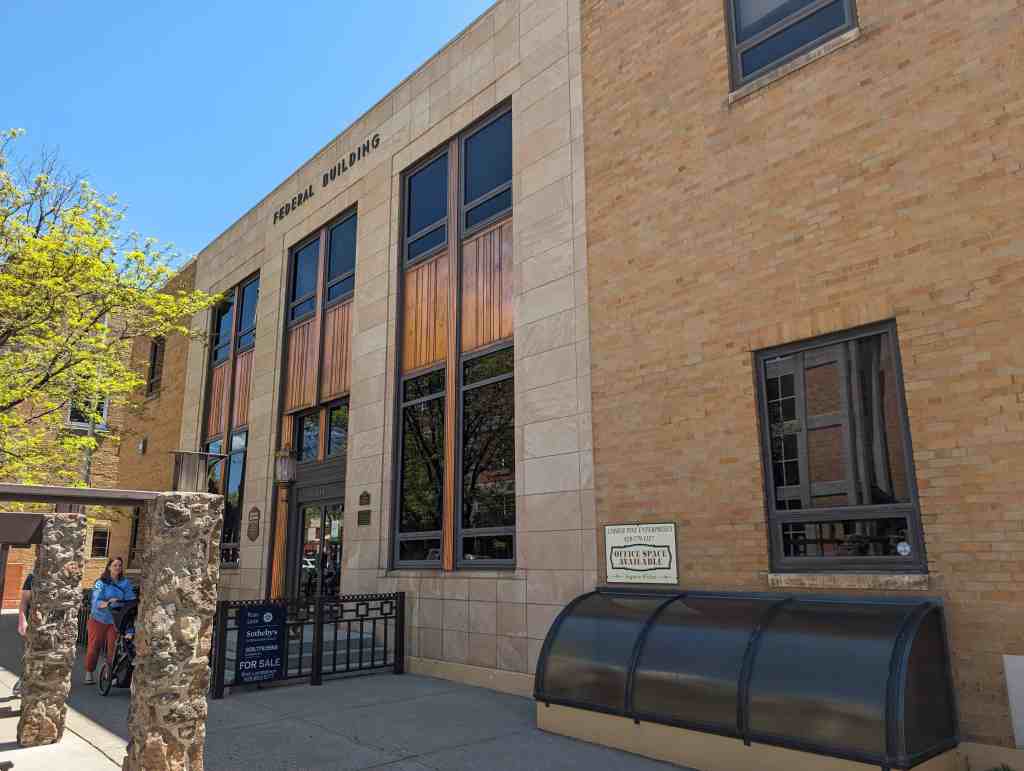
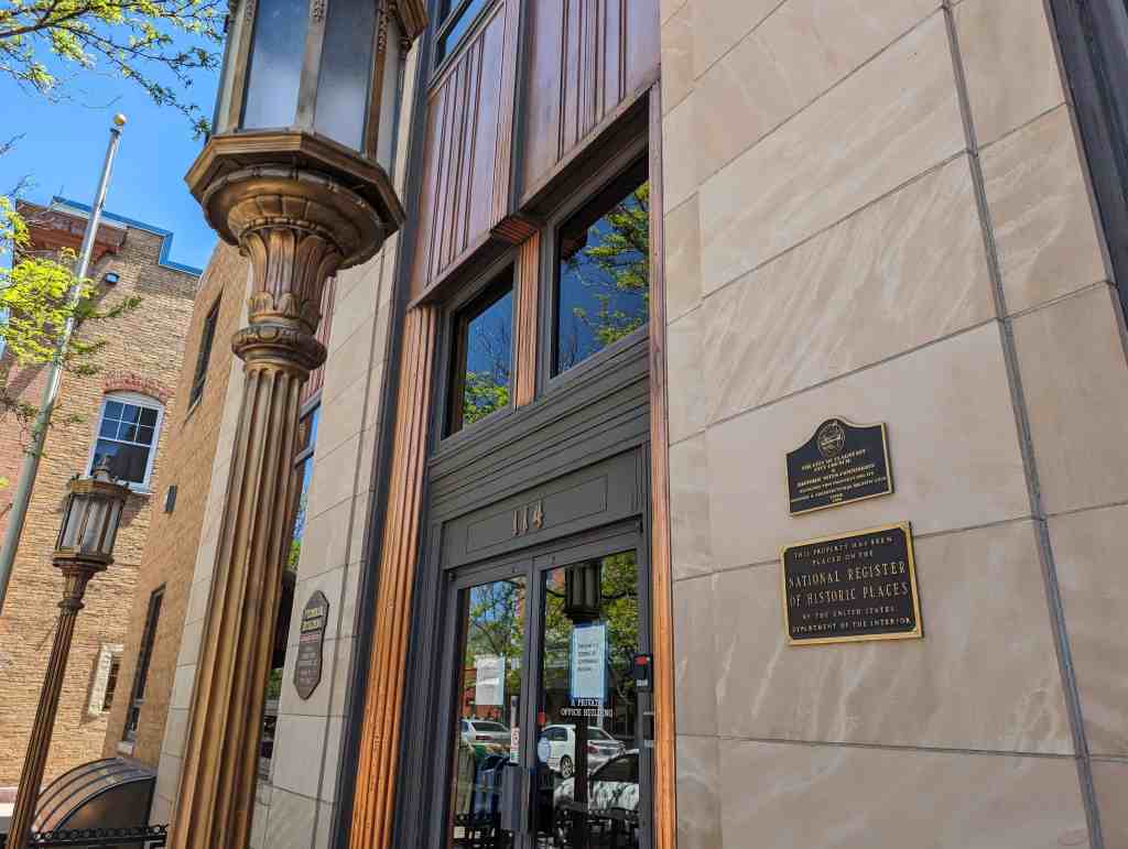
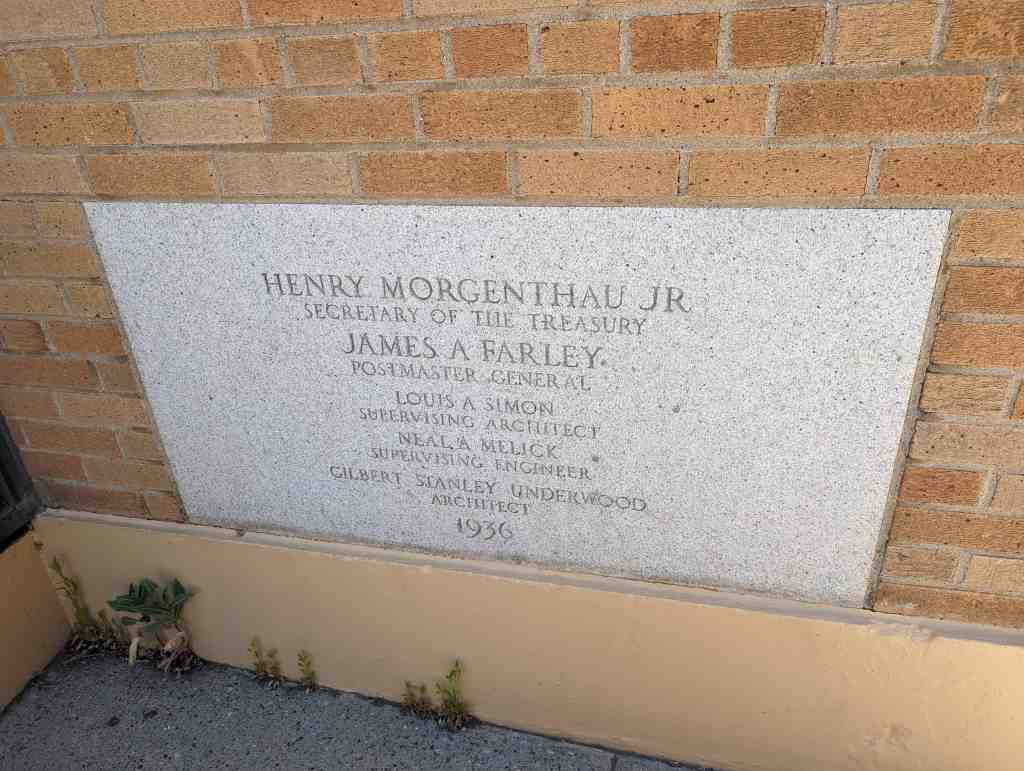
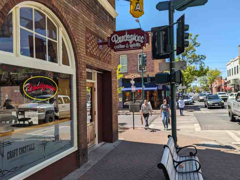
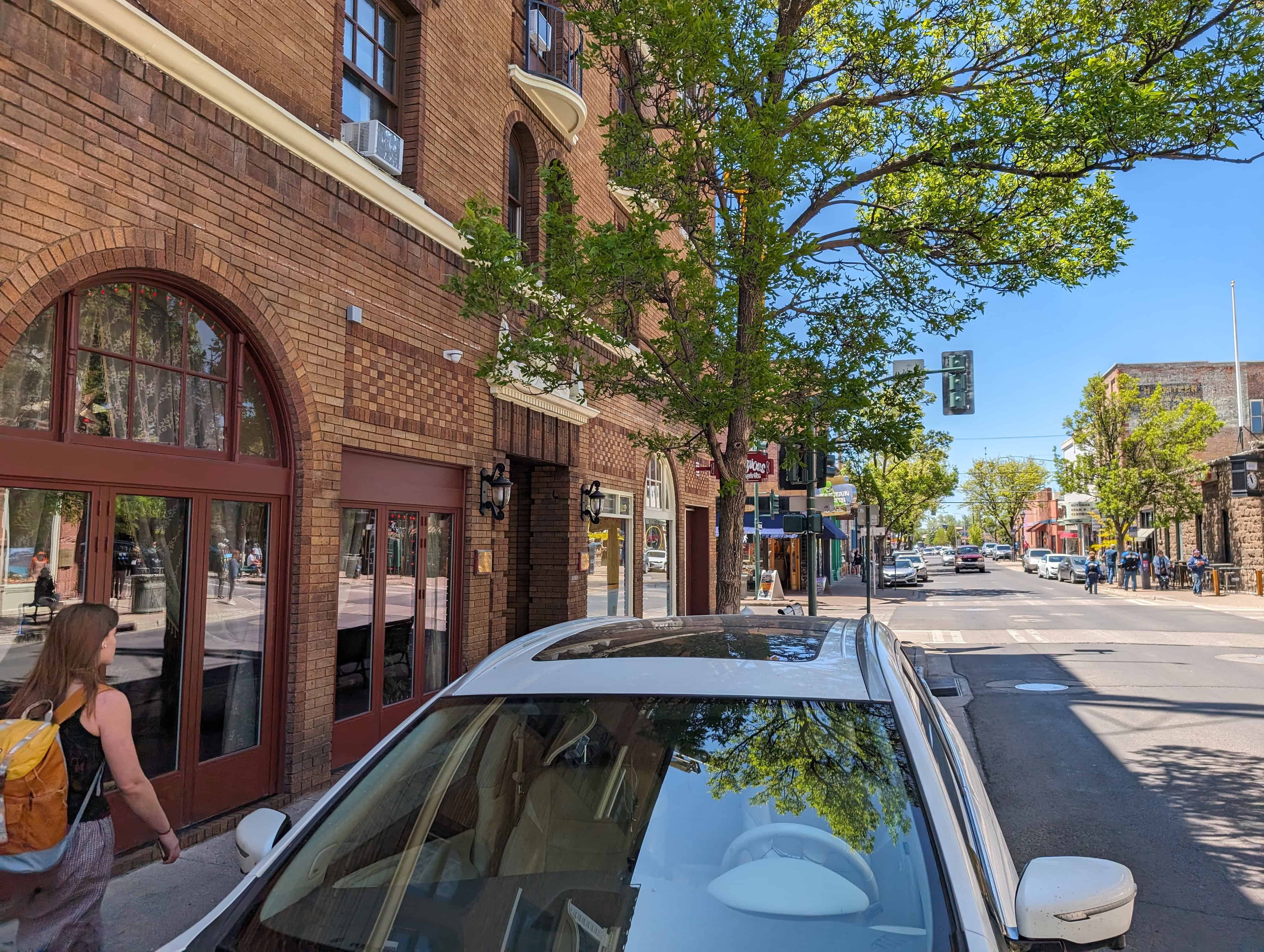
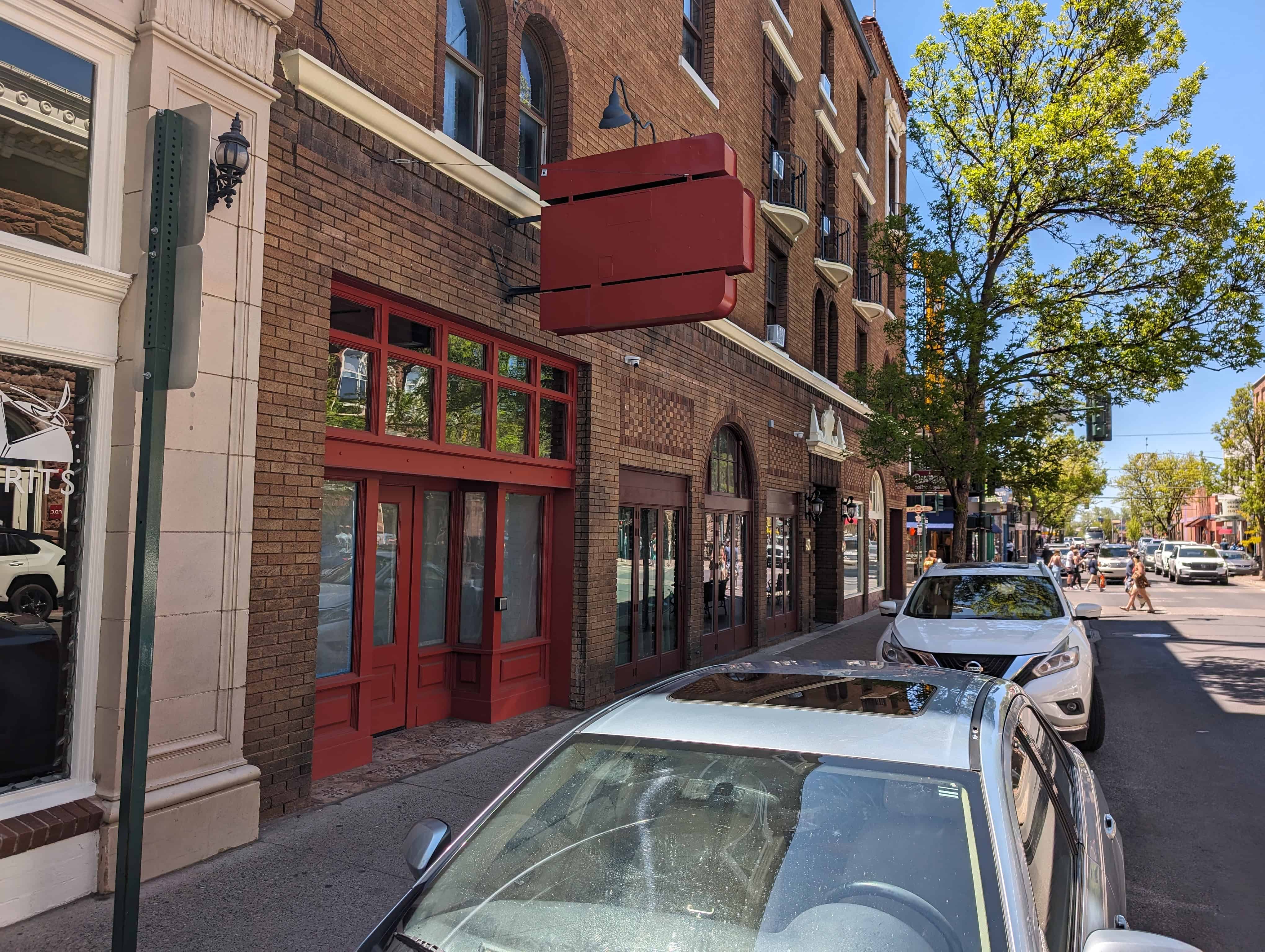
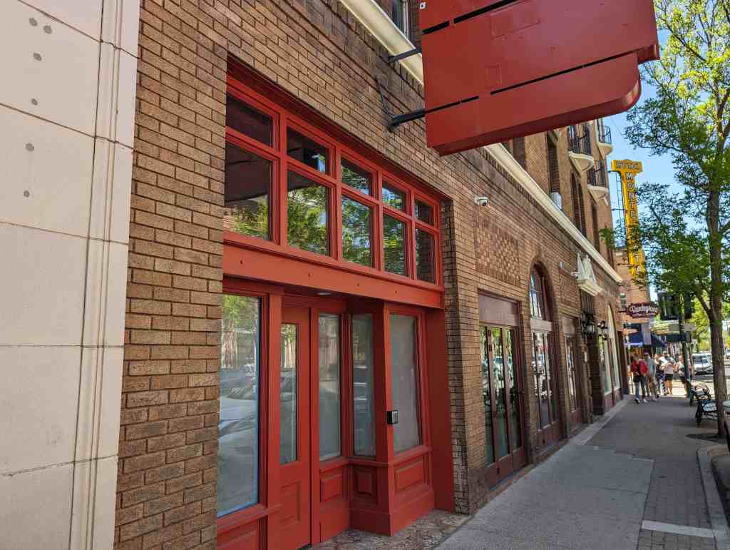
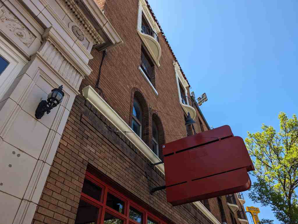
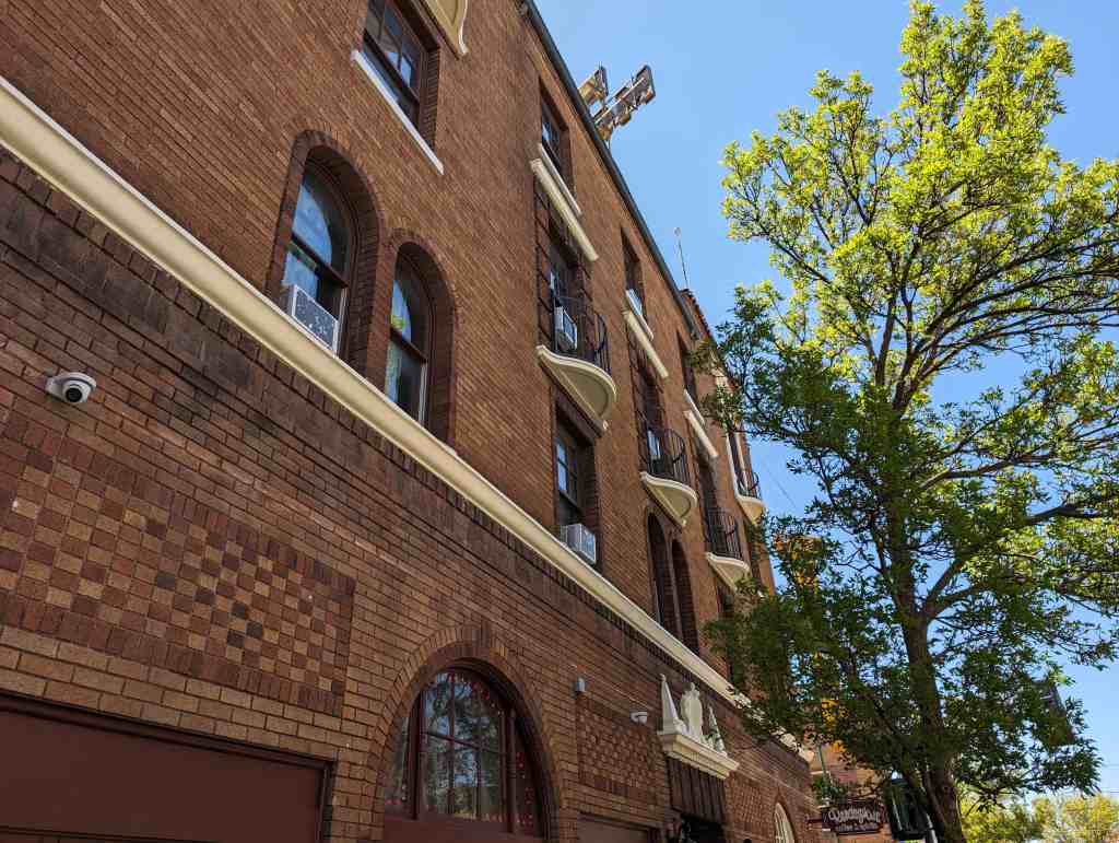
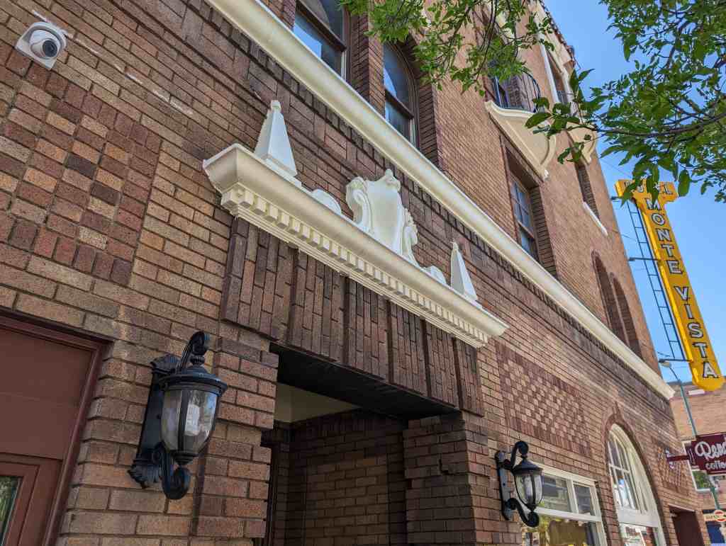
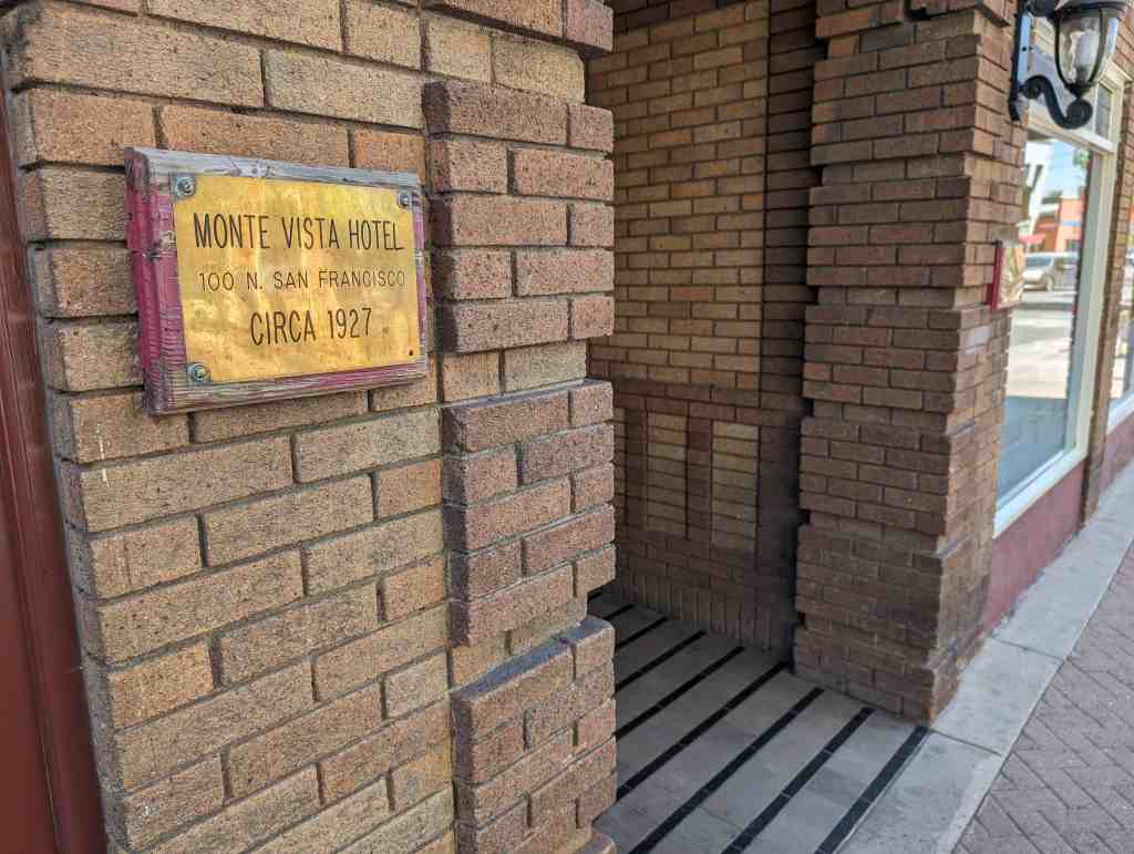
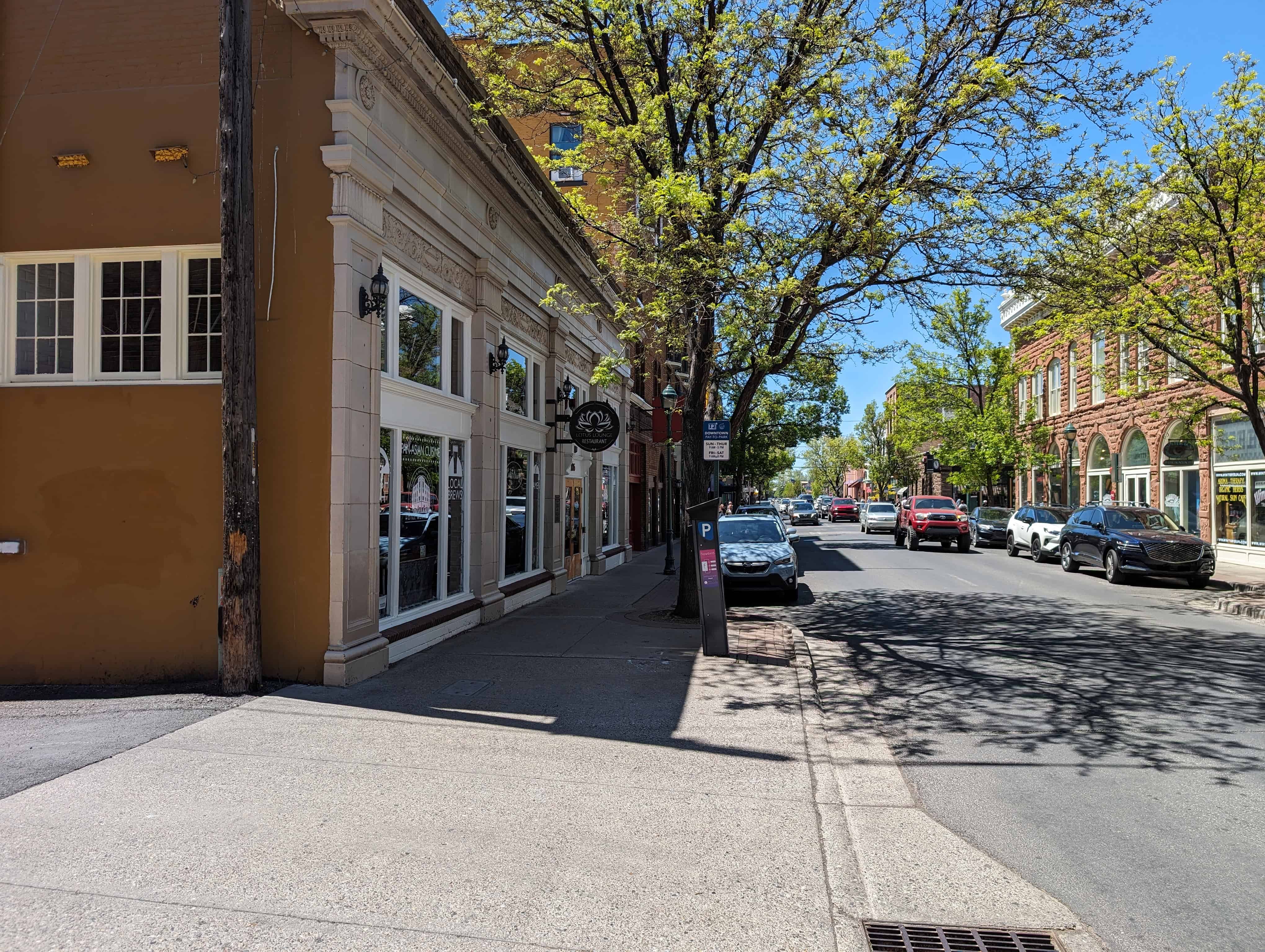
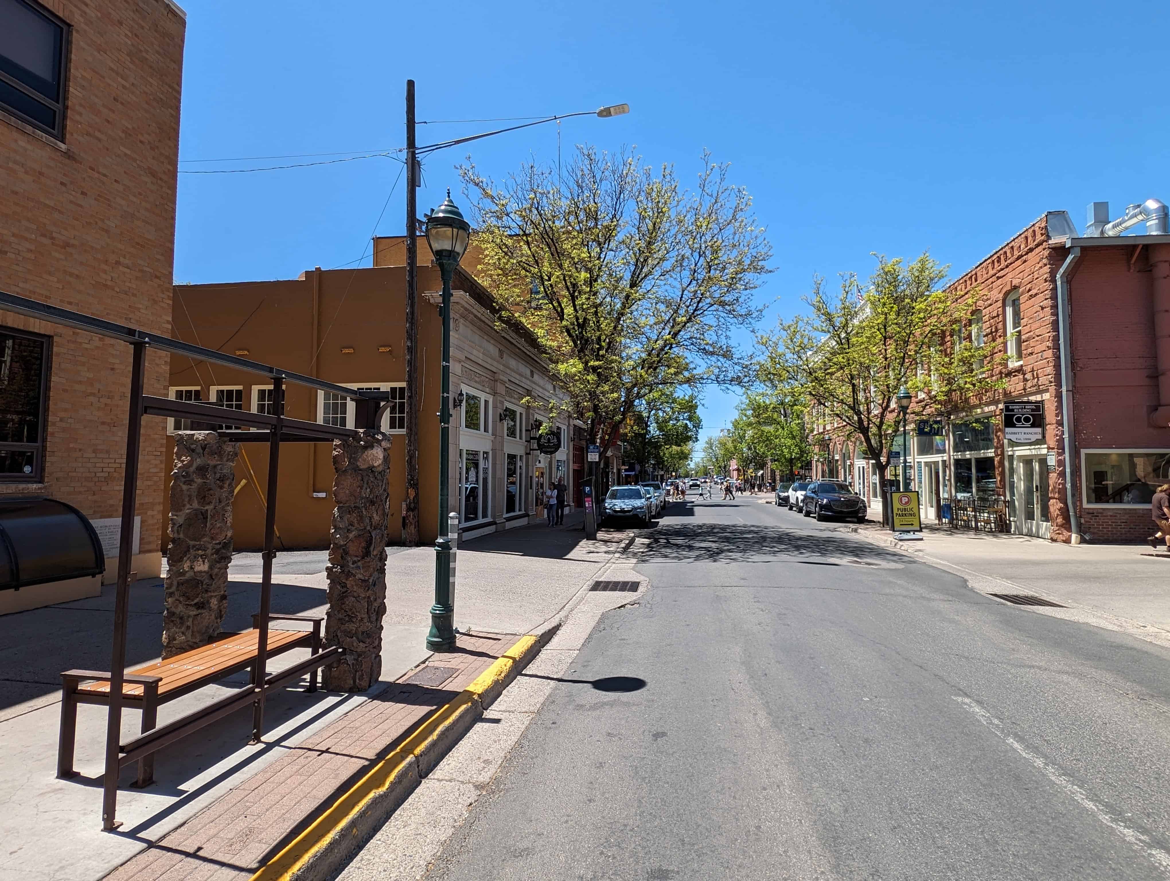
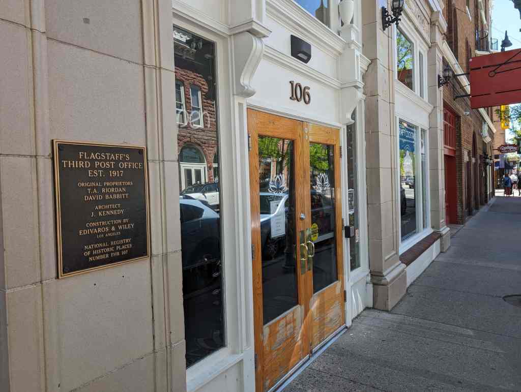
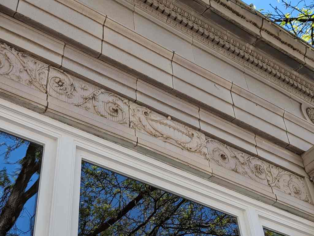
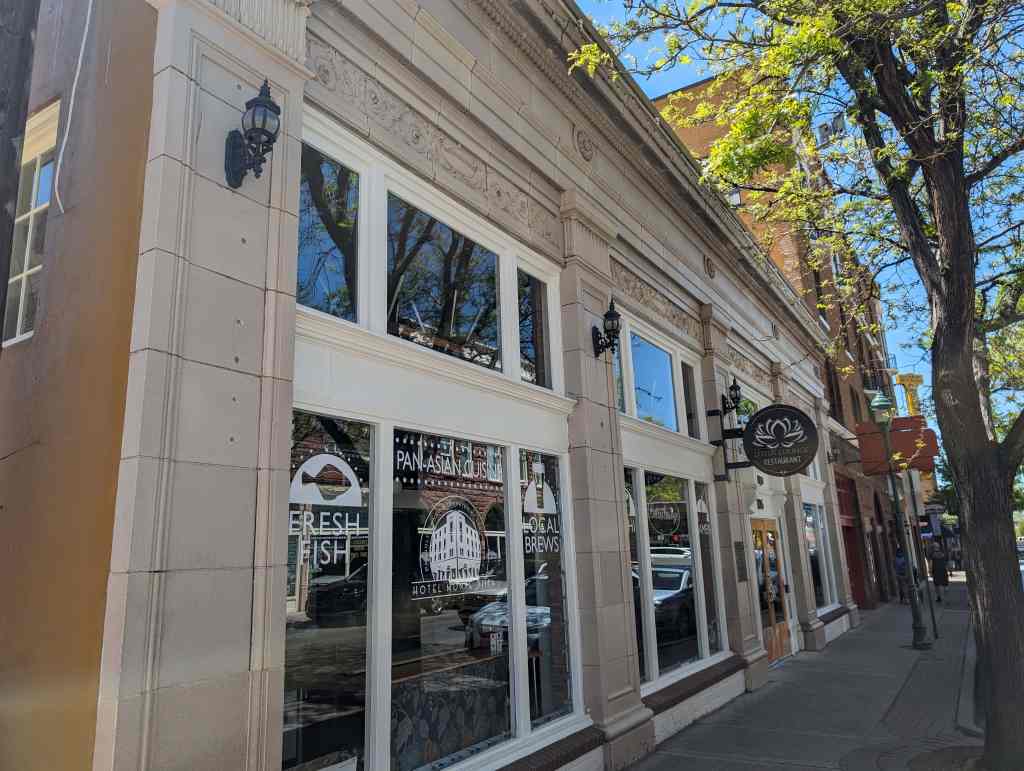
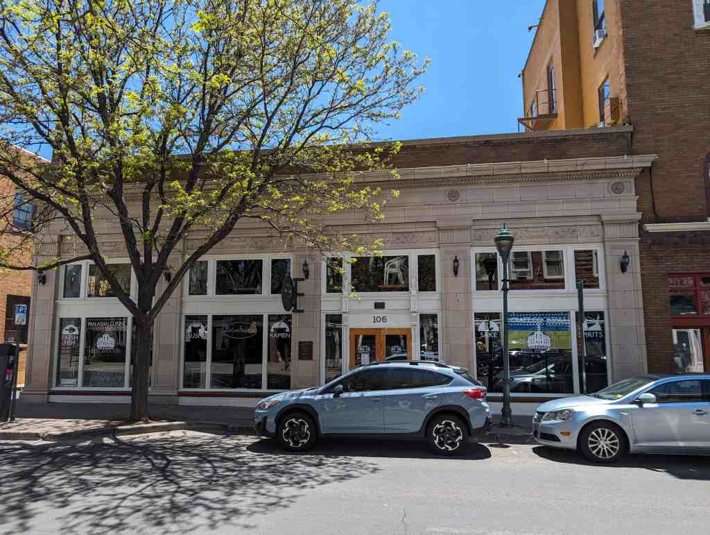
Flagstaff’s Third Post Office – Established 1917
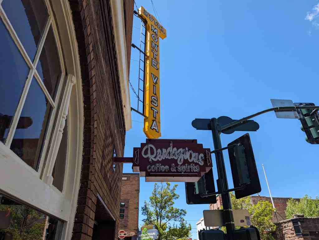
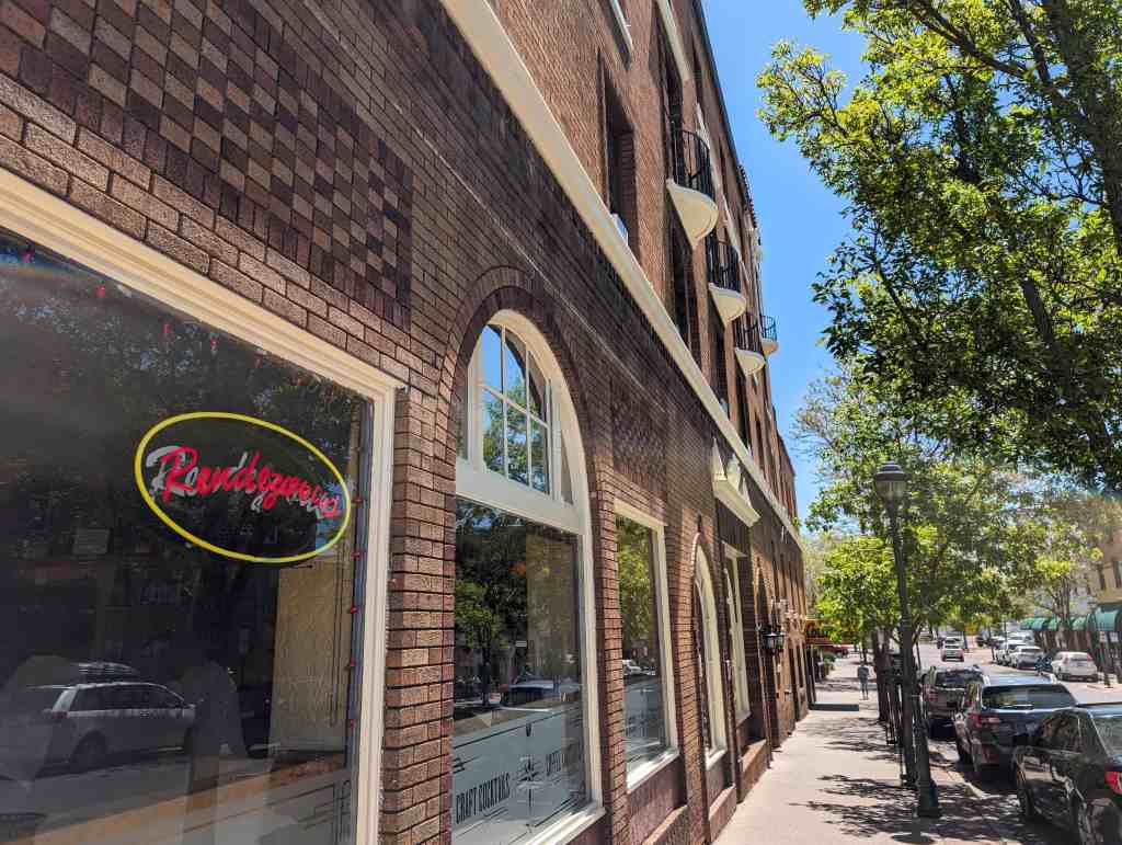
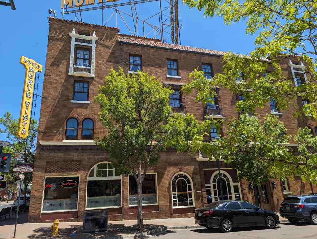
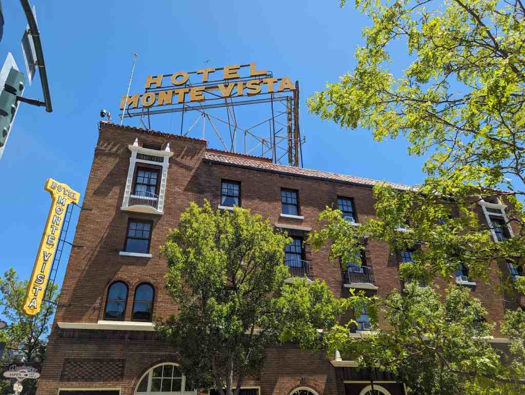
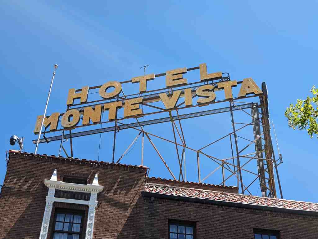
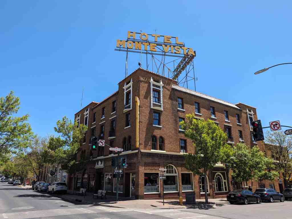
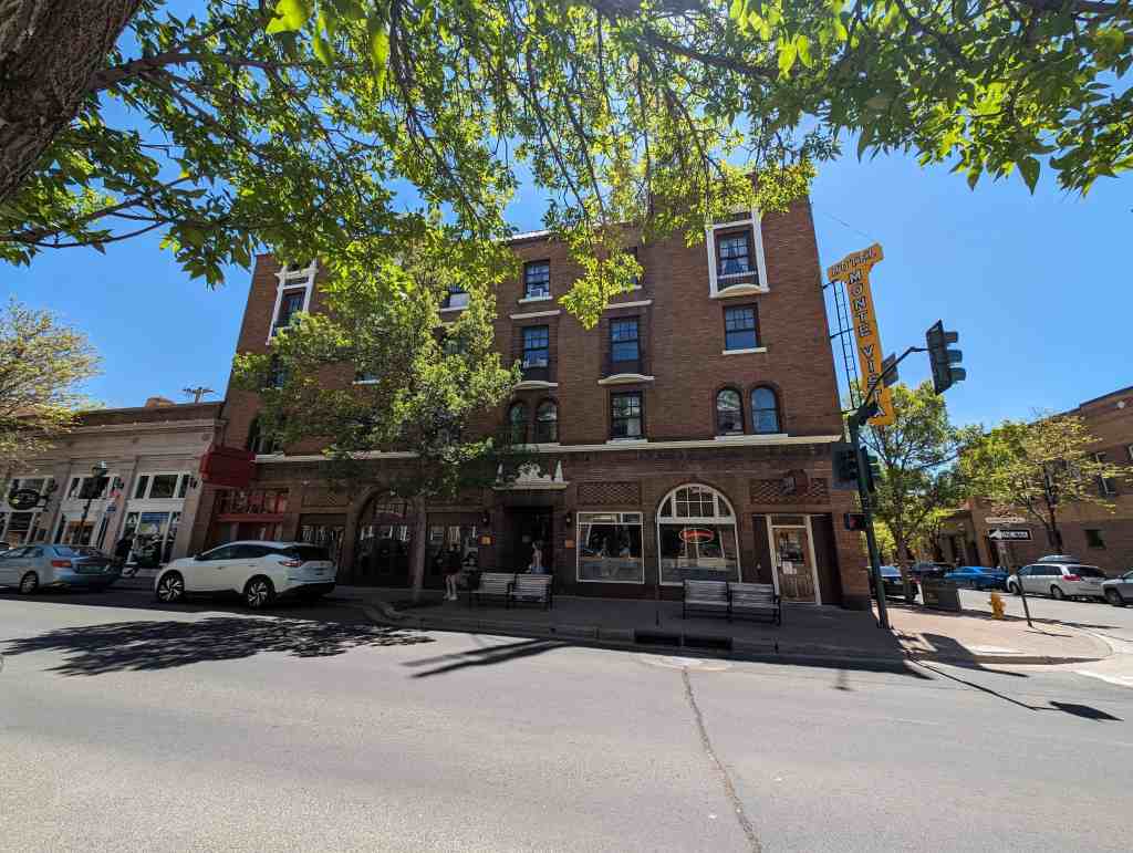
106 North San Francisco Street in Flagstaff, Arizona
18 Thursday Dec 2025
Posted in Uncategorized
29 Saturday Mar 2025
Posted in Uncategorized
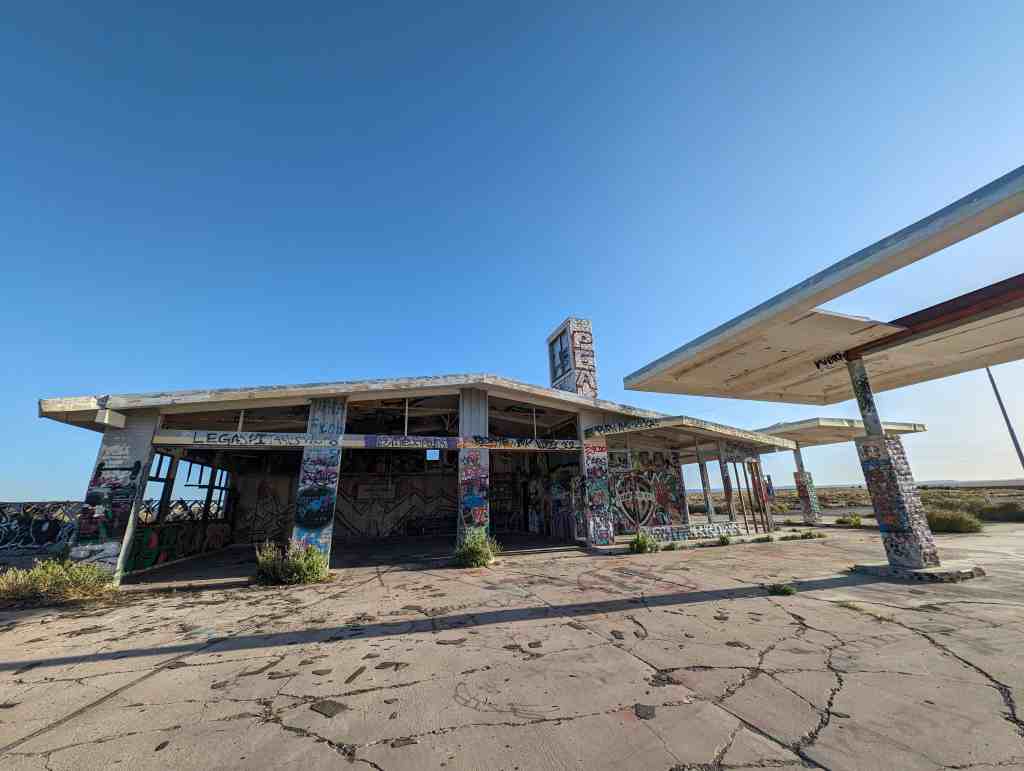
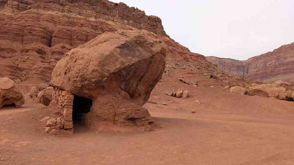
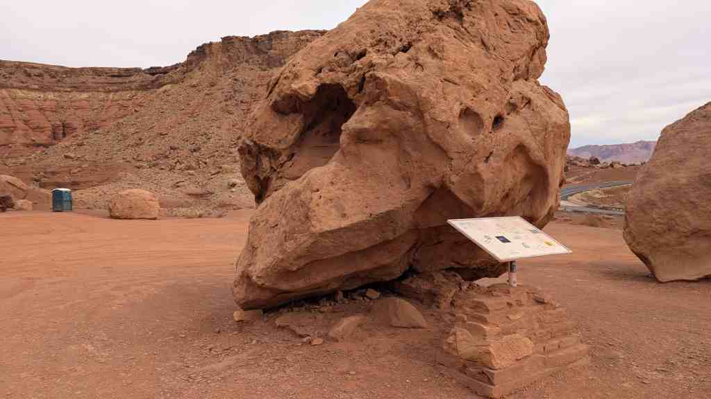
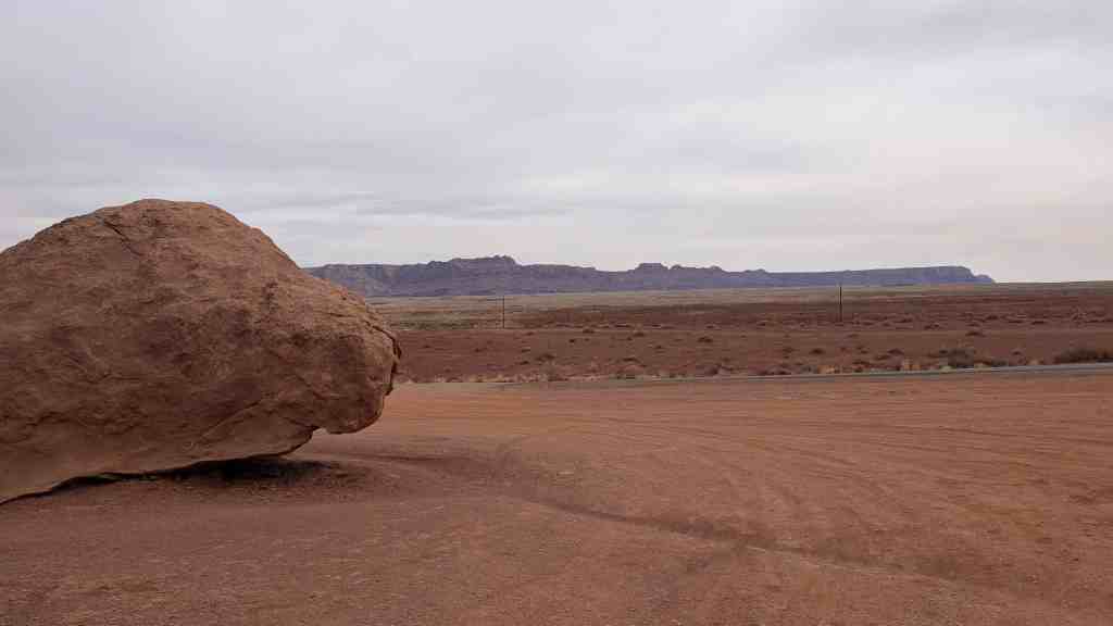
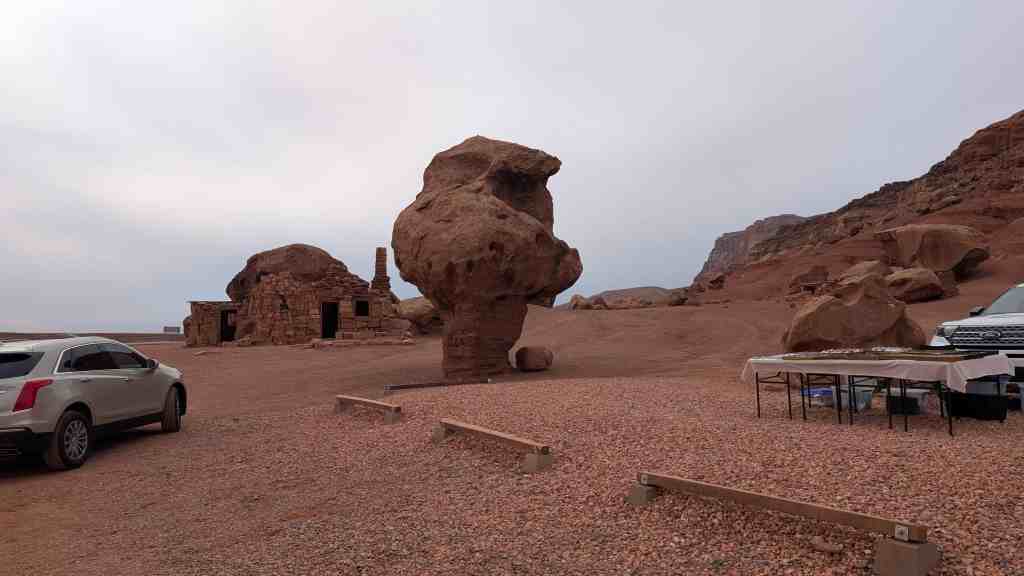
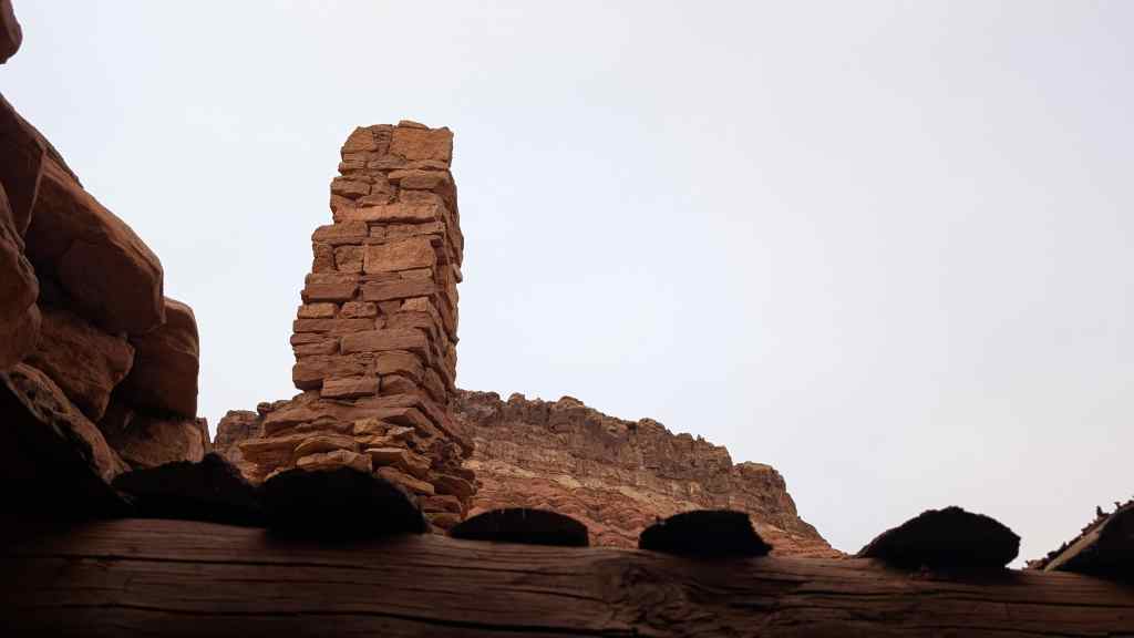
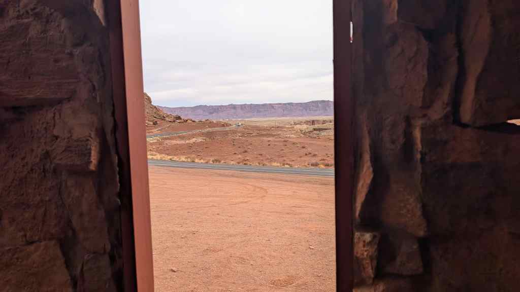
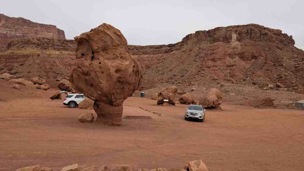
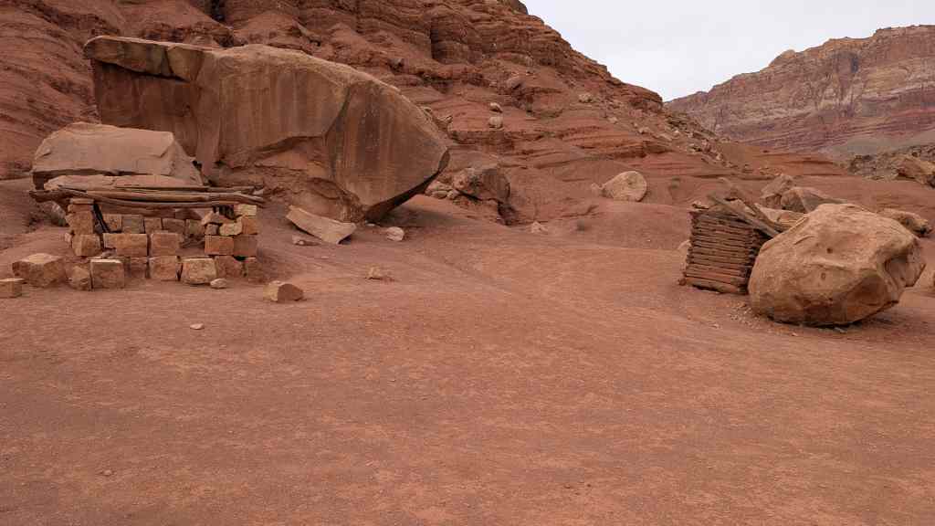
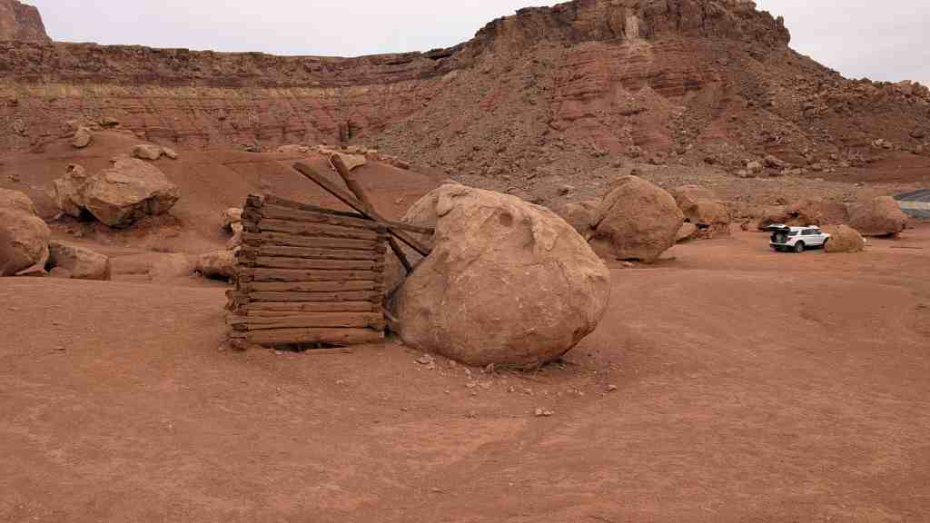
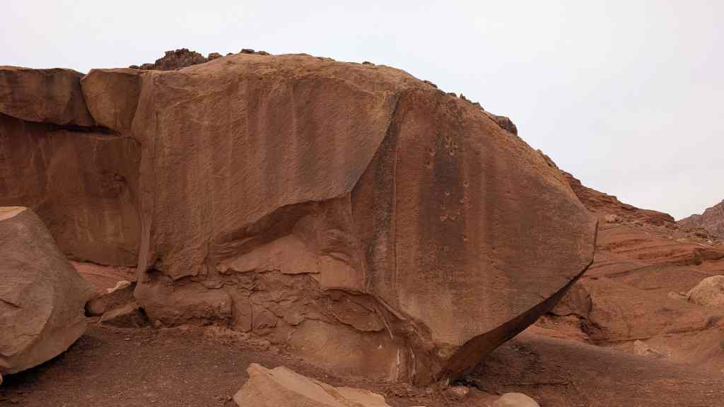
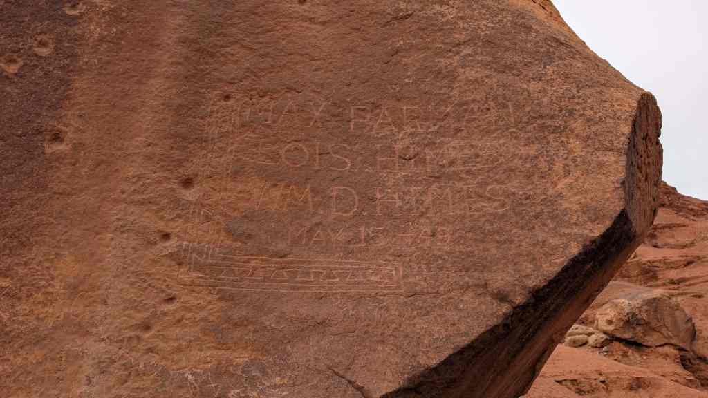
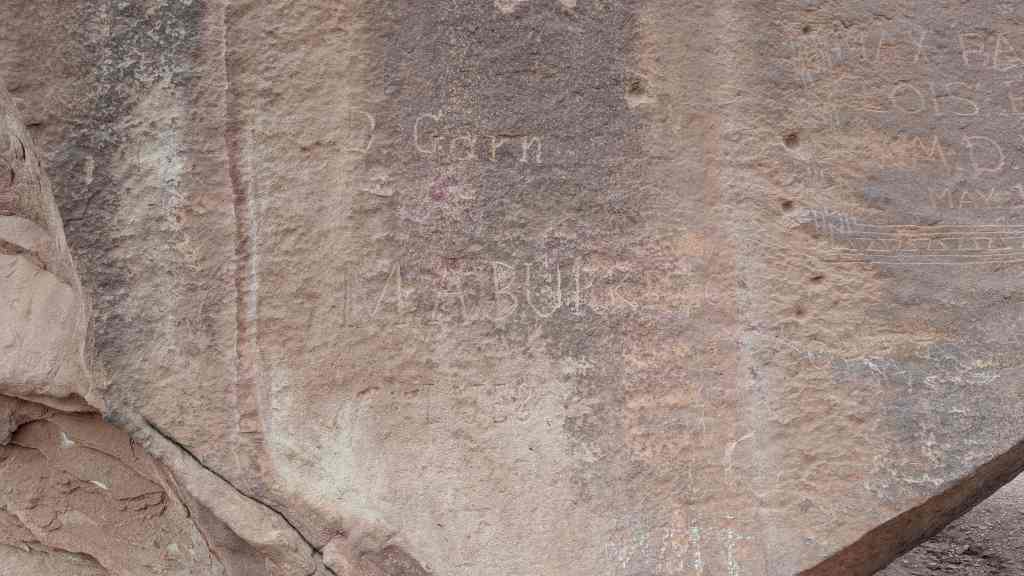
Two Guns is a ghost town in Arizona with some really interesting stone ruins of what used to be. It was a popular stop along Route 66 for years.
A few of the sites here include:
18 Tuesday Apr 2017
Posted in Uncategorized
Tags

I thought this old bridge for the old highway next to the current highway 89 was pretty cool. It is just north of Cameron.


12 Thursday Jan 2017
Posted in Uncategorized
Tags

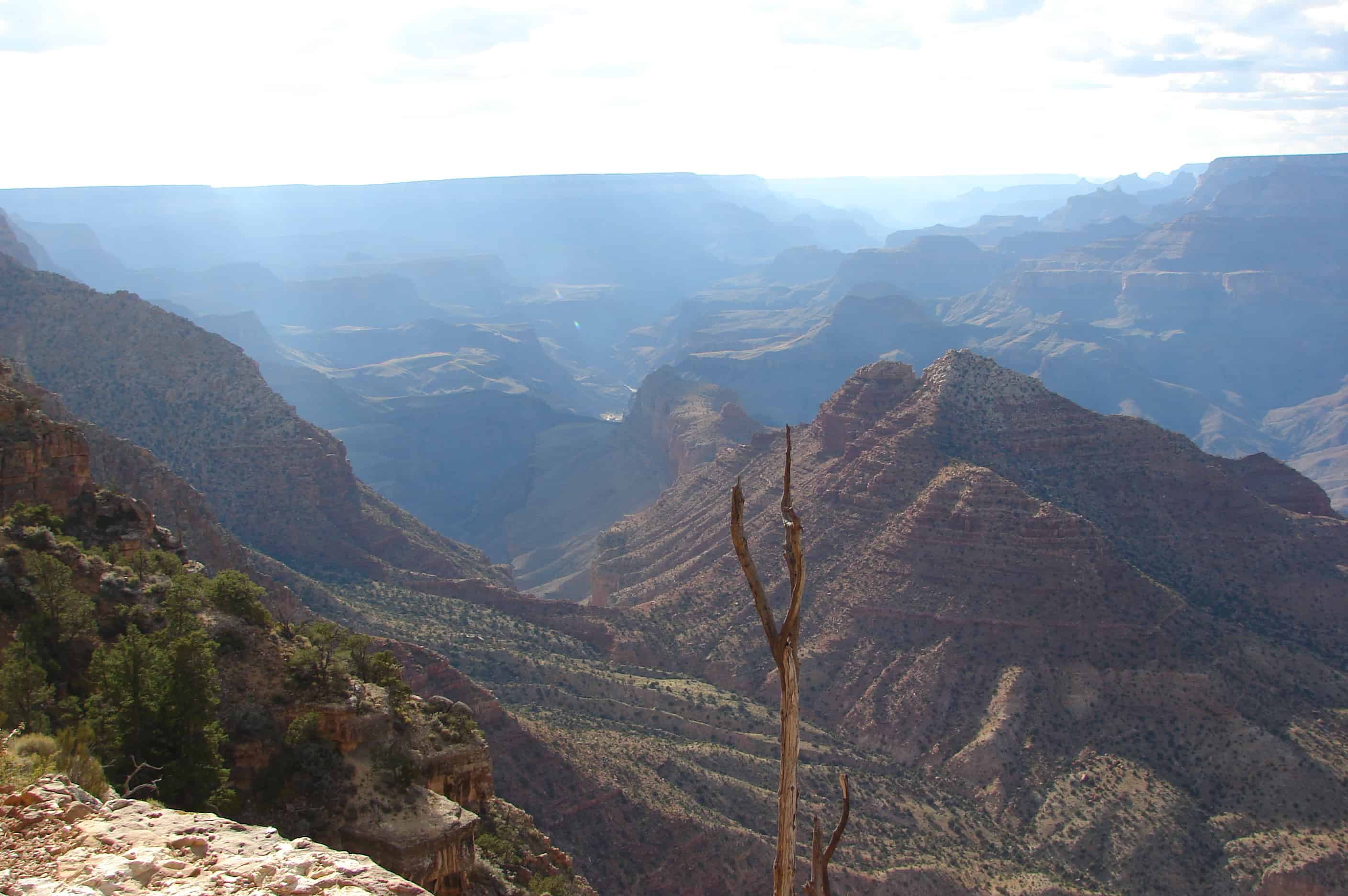
Desert View Watchtower, also known as the Indian Watchtower at Desert View, is a 70-foot-high stone building located on the South Rim of the Grand Canyon within Grand Canyon National Park in Arizona, United States. The tower is located at Desert View, more than 20 miles to the east of the main developed area at Grand Canyon Village, toward the east entrance to the park. The four-story structure, completed in 1932, was designed by American architect Mary Colter, an employee of the Fred Harvey Company who also created and designed many other buildings in the Grand Canyon vicinity including Hermit’s Rest and the Lookout Studio. The interior contains murals by Fred Kabotie.


08 Sunday Jan 2017
Posted in Uncategorized
Tags

NAVAJO BRIDGE, sometimes called Marble Canyon or Grand Canyon Bridge, is the only highway bridge crossing the turbulent Colorado for approximately a thousand miles–from Boulder Dam to Moab, Utah. An engineering accomplishment and an object of great beauty, it is 834 feet long, has a single arch with a span of 616 feet, and measures 467 feet between its floor and the surface of the river–about the height of a forty-story building. Since its completion in 1929 the bridge as superseded the old Lee’s Ferry nearby.
The Colorado River is the western boundary of the Navajo Reservation, largest in the United States.
Since the American Guide was published, a second bridge was built to withstand today’s traffic, the original bridge is now only open to pedestrians, and a visitor’s center replaced the rest area.
“After completion of the new bridge, the old rest area on the west side of the bridge was remodeled and expanded to include an interpretive center. On the Navajo Nation (east) side of the bridge, there is an area for Native American craft vendors. The Navajo Bridge Interpretive Center opened for business in April of 1997 and was dedicated on June 17, 1997.” Source: NPS Navajo Bridge Interpretive Center (visit link)


08 Sunday Jan 2017
Posted in Uncategorized

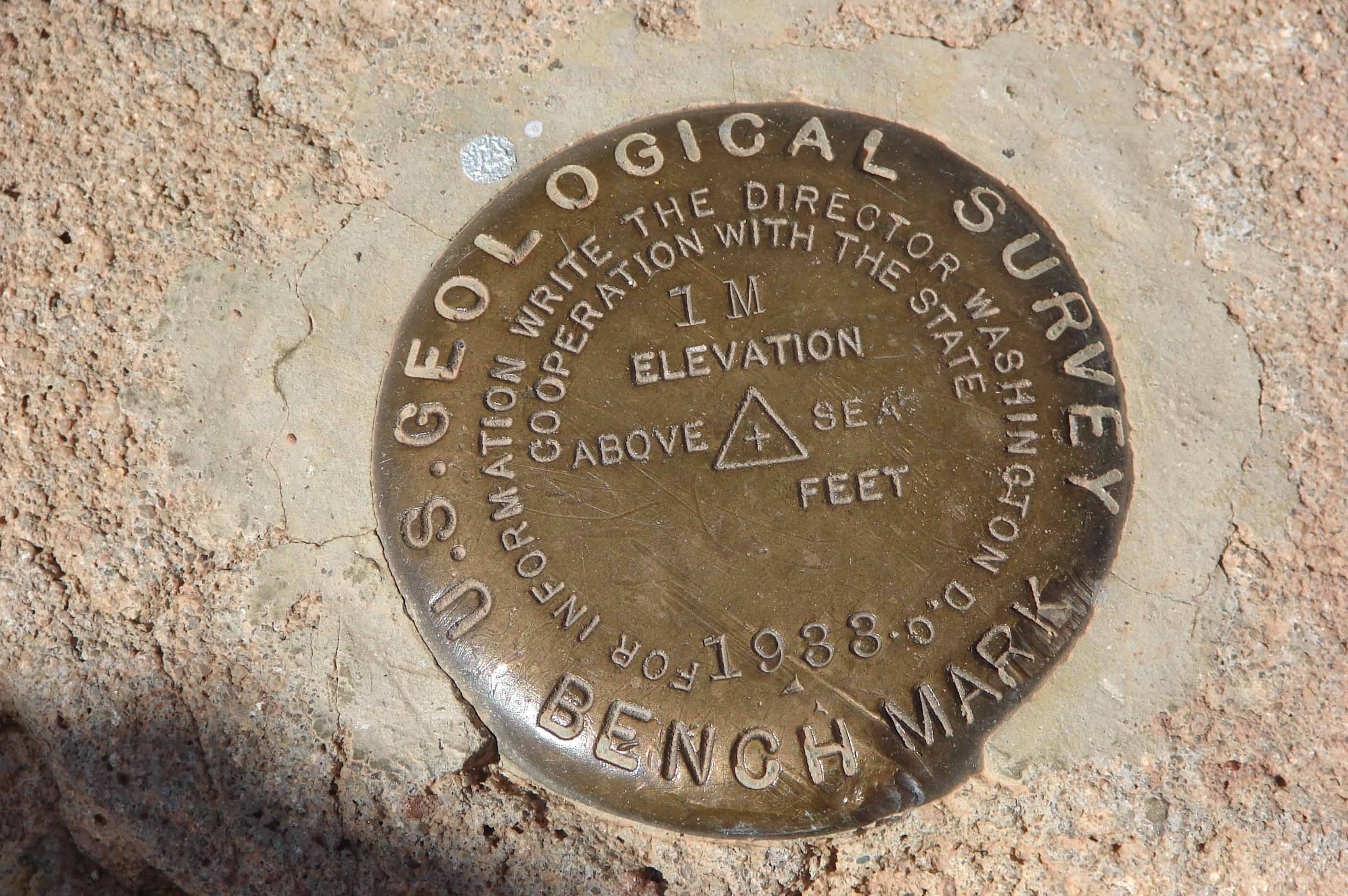
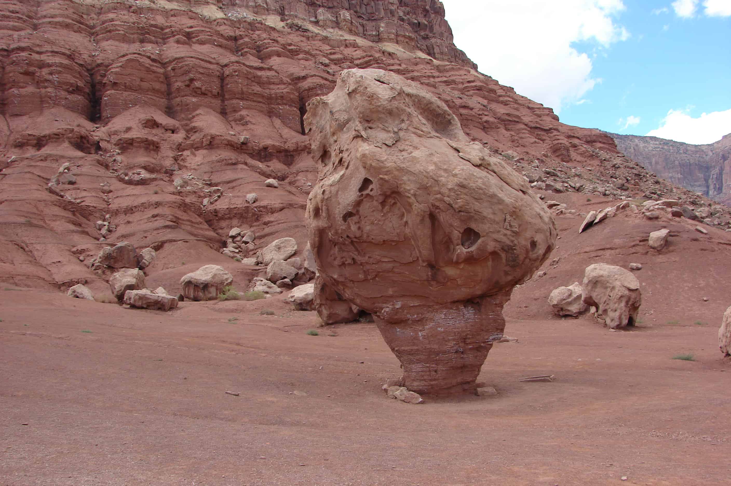
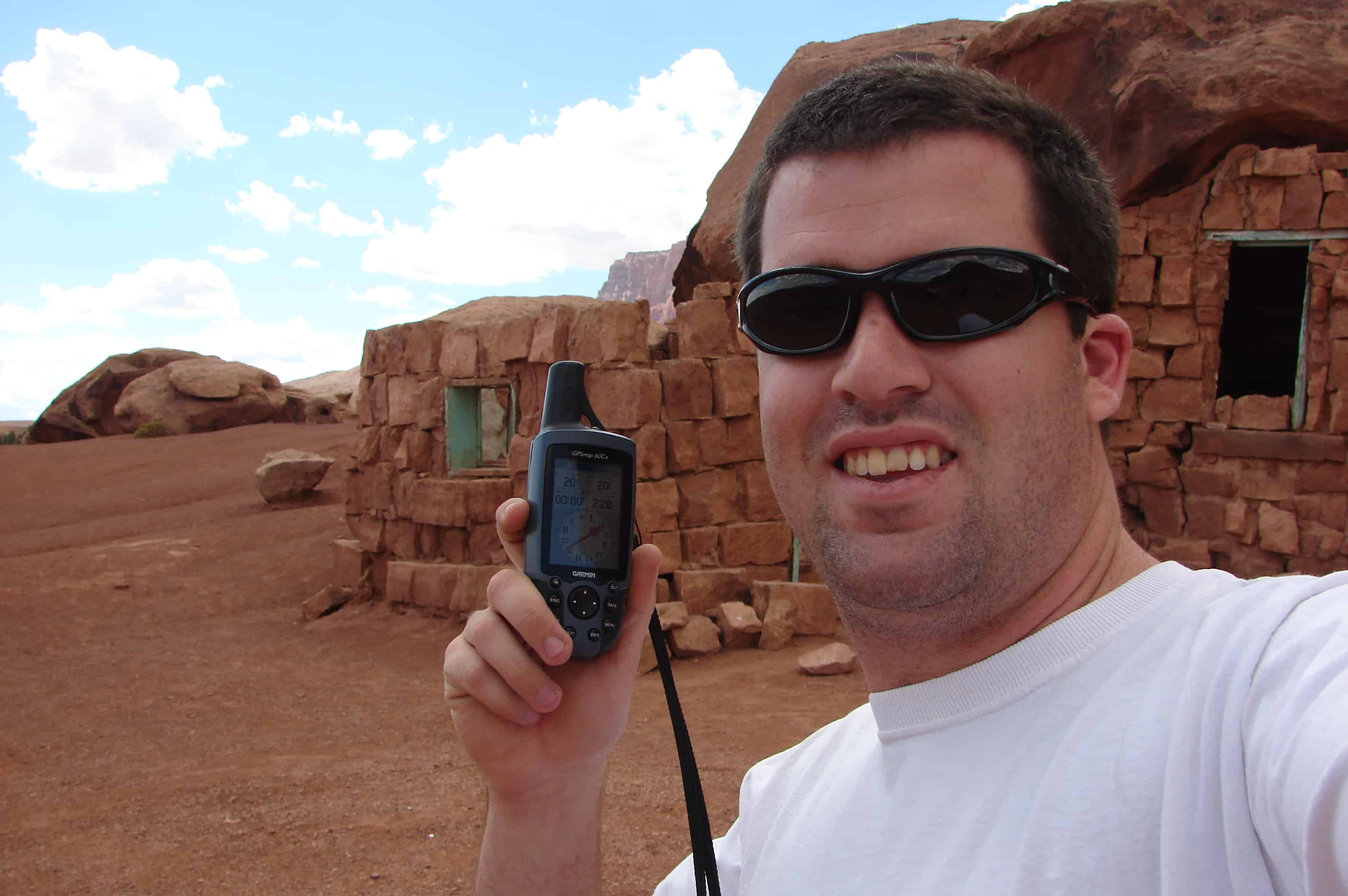
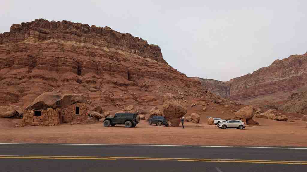
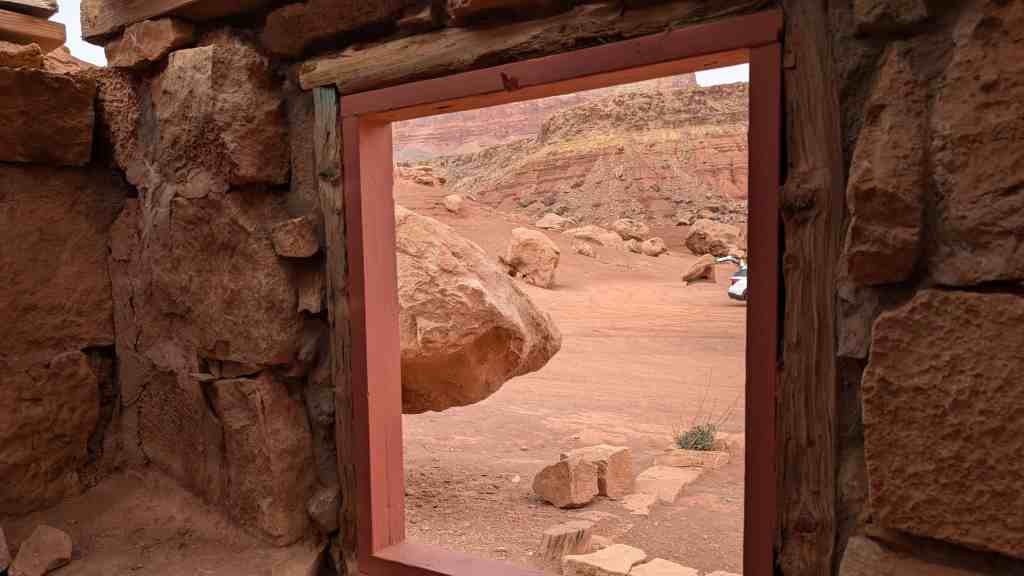
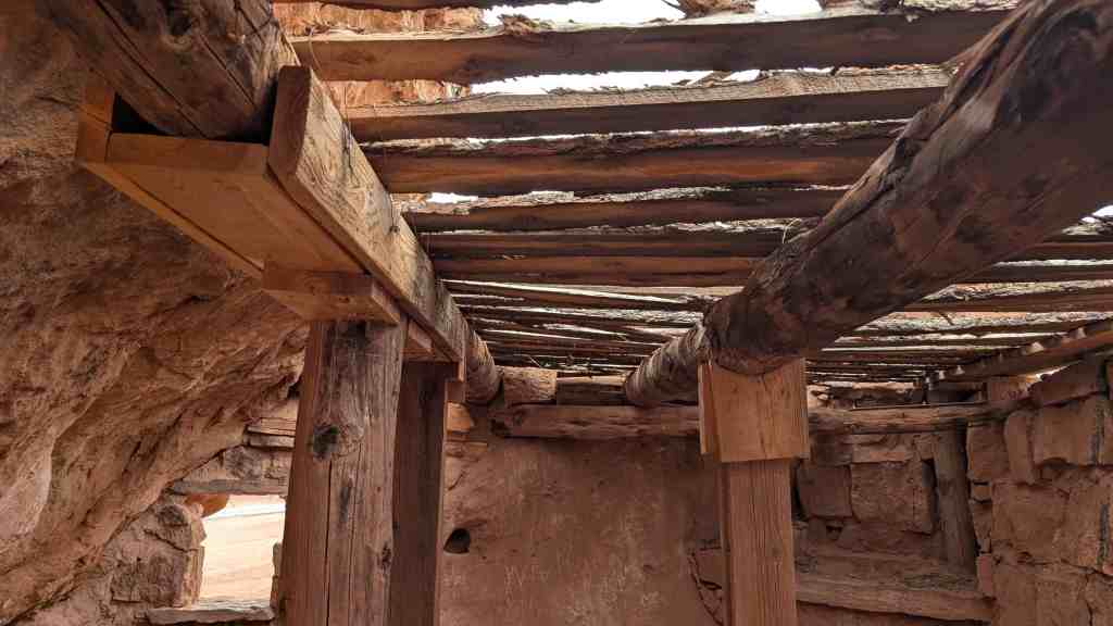
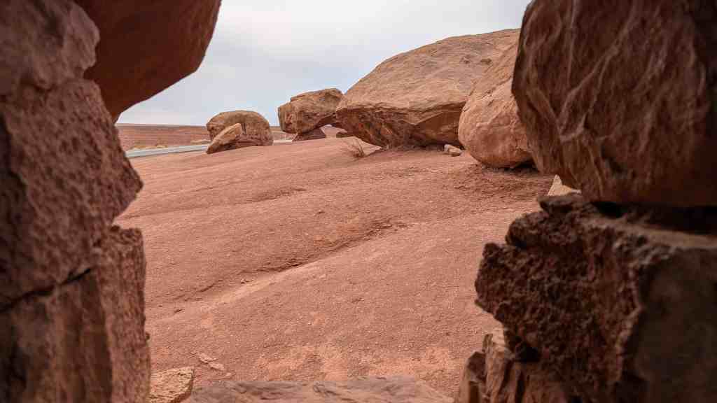
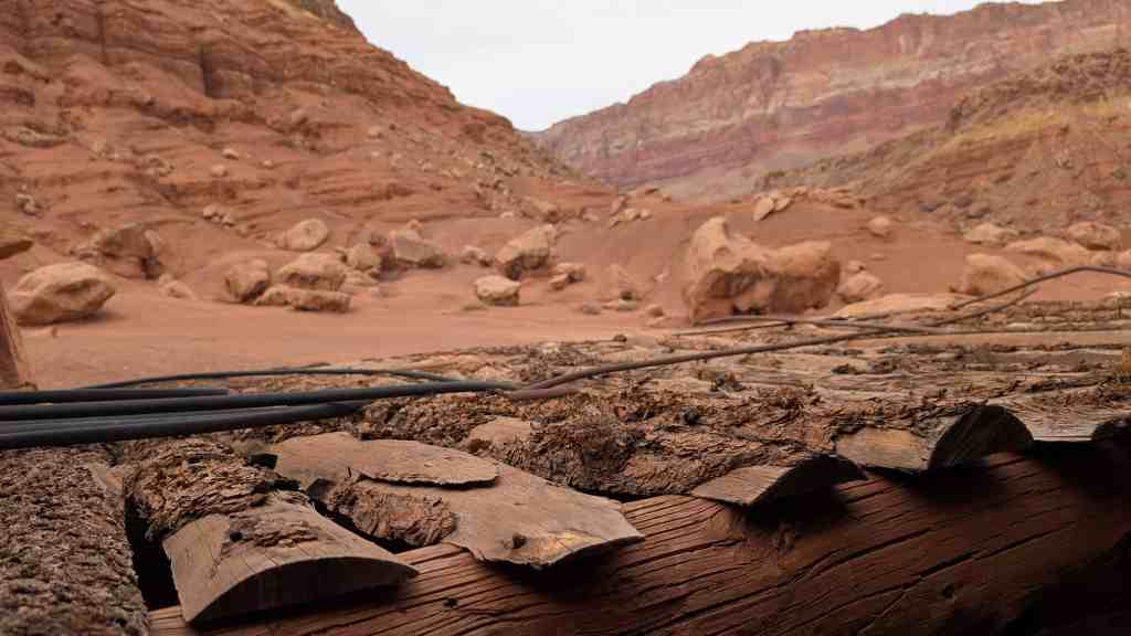
A cool stone dwelling along the highway with other interesting things to see, well worth the stop.


08 Sunday Jan 2017
Posted in Uncategorized

Looking across House Rock Valley at the Vermillion Cliffs.

08 Sunday Jan 2017
Posted in Uncategorized


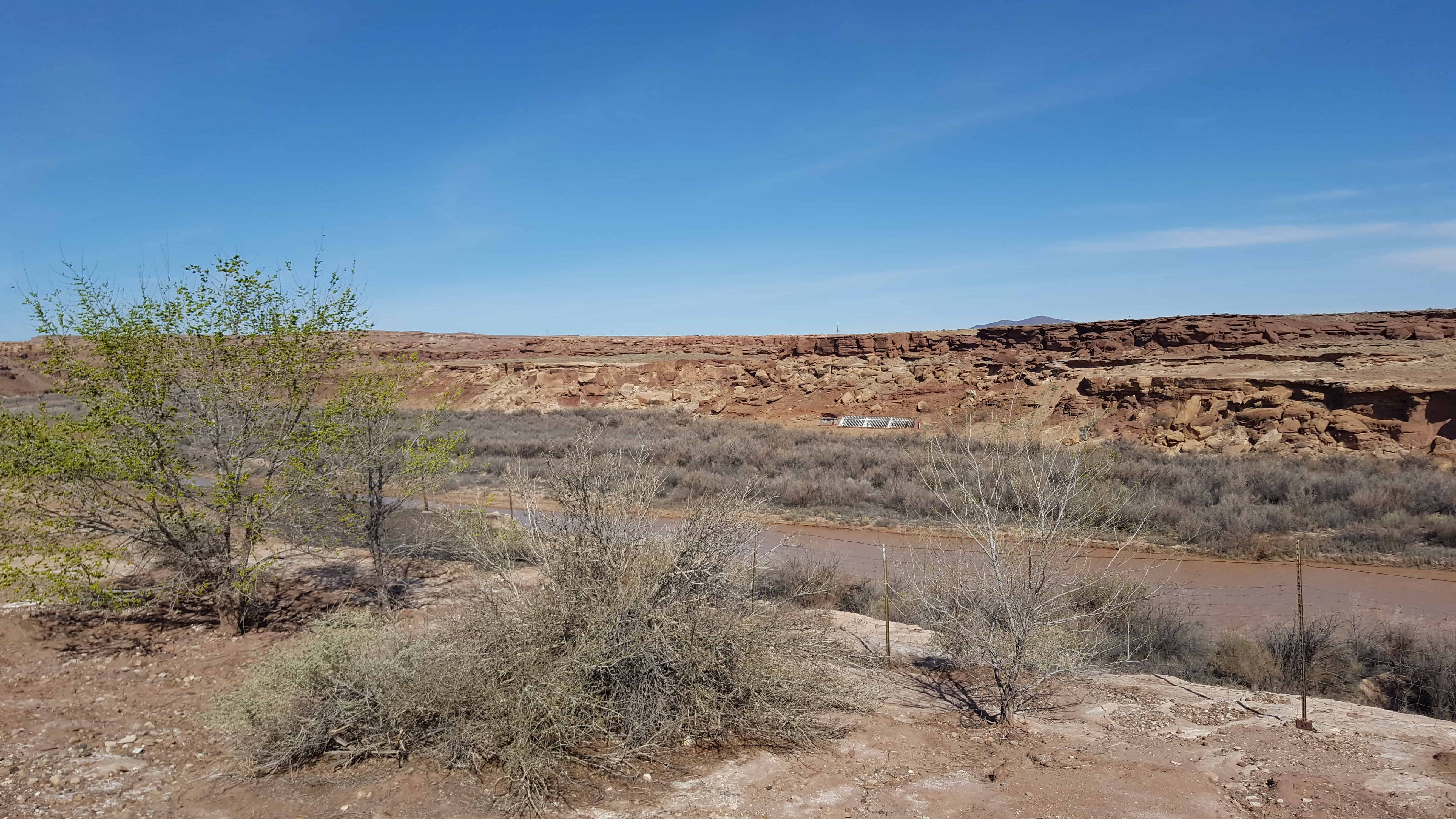
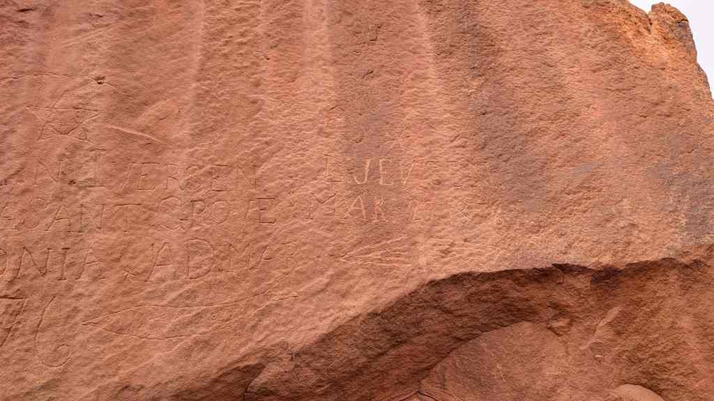
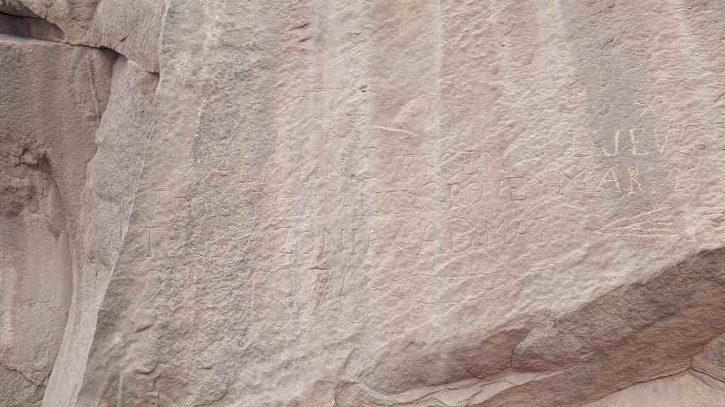
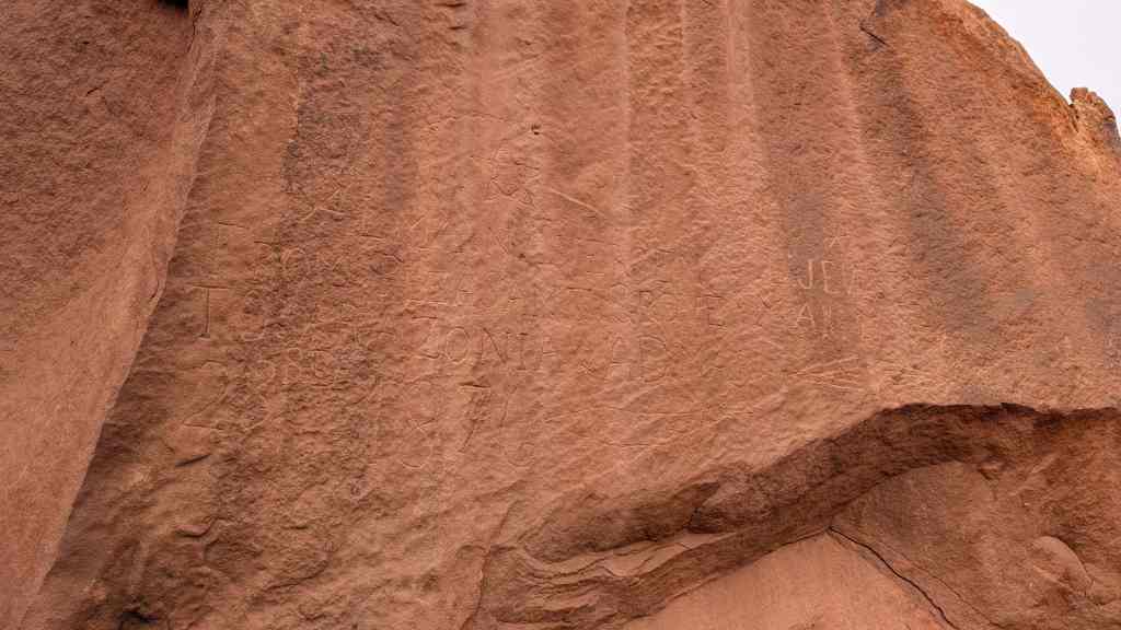
Cameron (Orinally Tanner’s Crossing)
Named for one of Arizona’s first U.S. Senators. A pioneer in development of trails and copper mines in Grand Canyon. Near here was the site of Tanner’s Crossing of the Little Colorado River on The Mormon Trail from Utah via Lee Ferry to settlements in Arizona and Mexico.
n 1911, a sway-back, one-track suspension bridge was erected over a gorge of the Little Colorado on the edge of Navajo and Hopi country. Hubert and C.D. Richardson built a small trading post there in 1916.
Designer – Midland Steel Co.
Location – Cameron, Arizona, USA
Date – 1911
Building Type – Transportation
Construction System – Concrete, Steel, Aluminum
Architectural Style – Suspension-truss hybrid
Street Address – Carries US 89 over the Little Colorado River
Notes – also known as Cameron Bridge;Little Colorado River Bridge
Related: