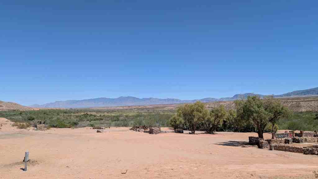
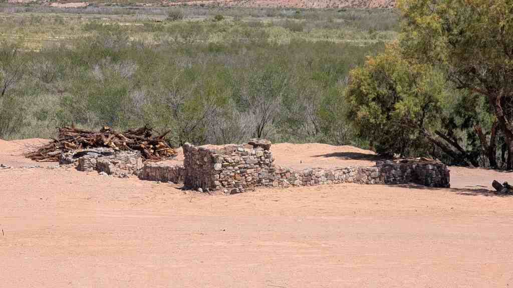
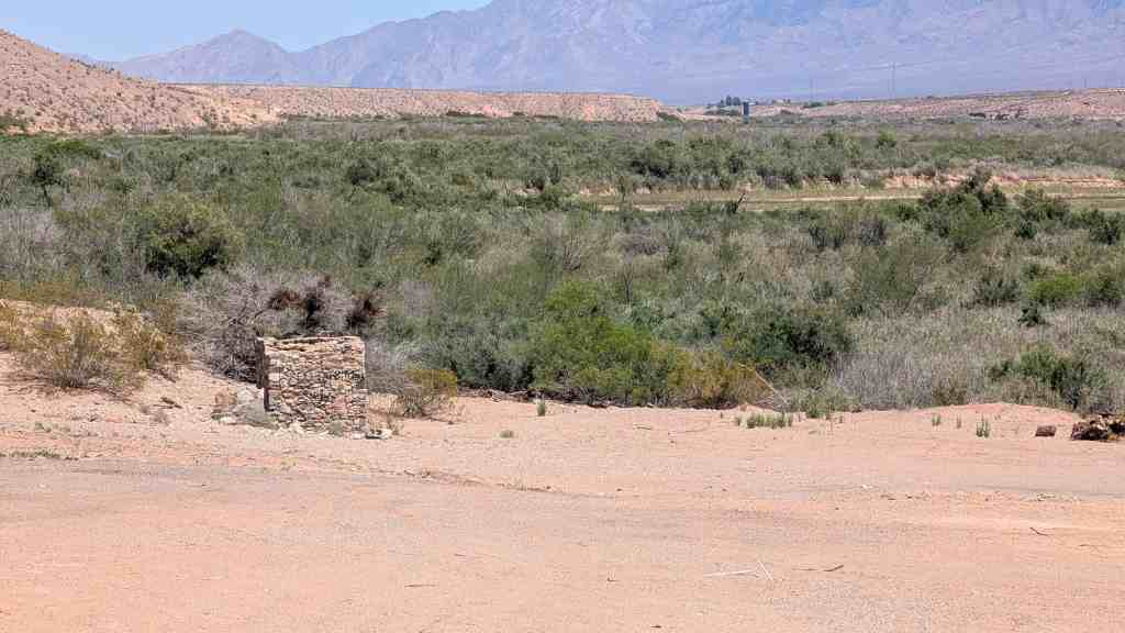
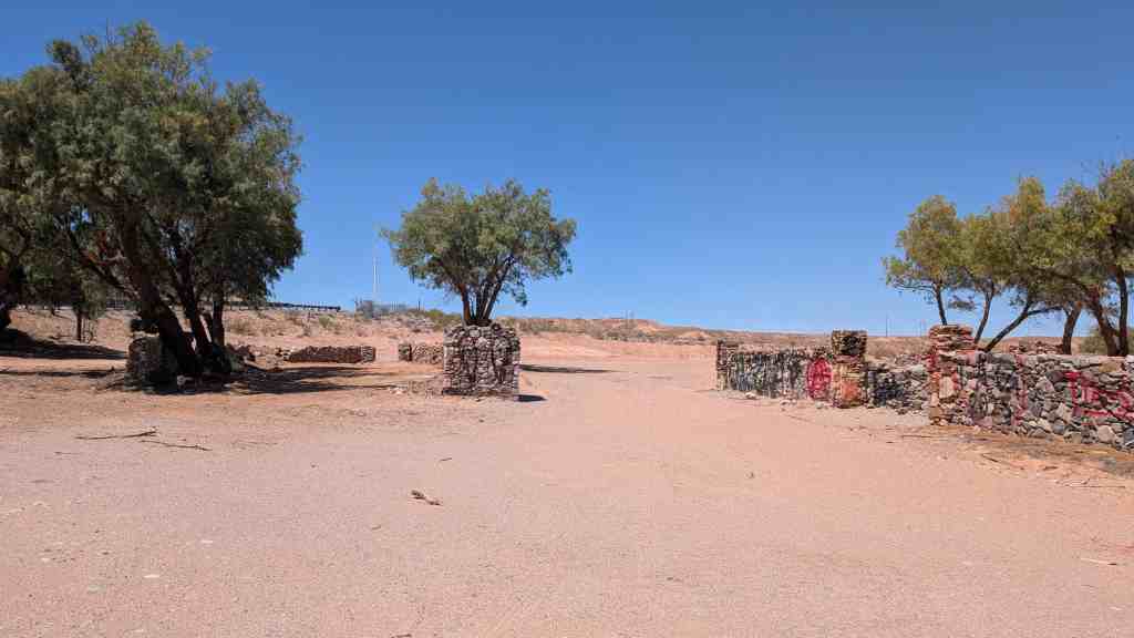
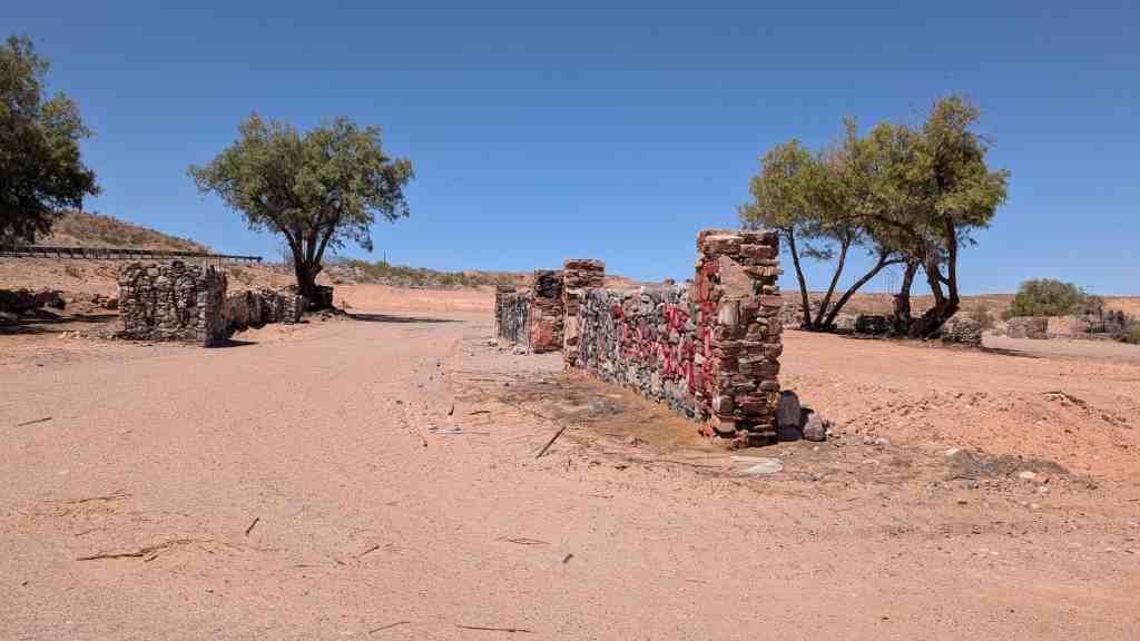
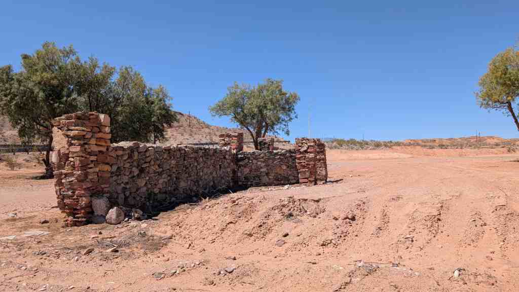
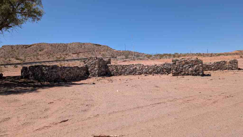
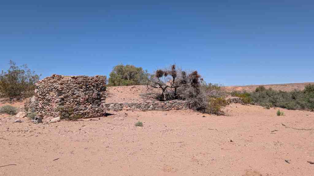
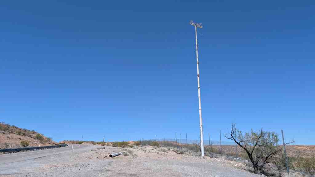
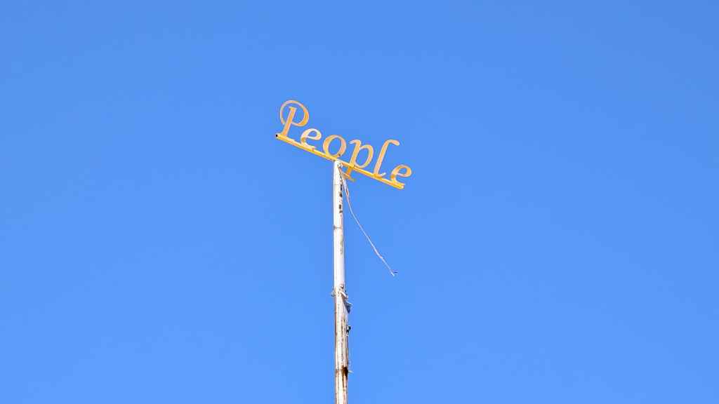
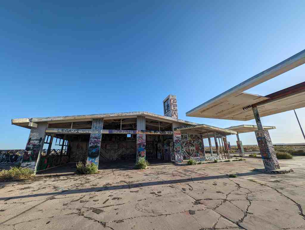
from nvexpeditions.com: Riverside was the location of a service station established by Carl Enkey around 1930 to serve travelers on Highway 91. Before 1925, the Arrowhead Trail (US-91) followed a southerly route to St. Thomas, but loss of a major bridge to fire coupled with the impending construction of Hoover Dam (and subsequent loss of St. Thomas) prompted construction of a new, more northern route that closely parallels today’s Interstate 15.
Riverside appears to have had cabins, presumably for lodging, in addition to the service station, and possibly a few homes. It was probably closed around 1955, when the highway was rerouted and bypassed the communities of the Virgin River Valley. A handful of buildings remained until they were bulldozed in February 2025.
Isaac Behunin was called to the Cotton Mission in 1861 and was one of the early settlers in the Upper Virgin River Area. He settled at Northrop at the forks of the Virgin River in December 1861 with two other settlers. They lived in close proximity to a large clan of friendly Perrusit Indians with whom they learned to converse. Isaac and his family lived in their wagon and a made-shift shelter while it rained for more than a month. The Virgin River became a raging torrent and washed away much of the farmable soil. In January of 1862, after the flood, he moved further up Zion Creek Fork, built a home, farmed, and was one of the first settlers of Springdale.*
Concealed under the waters of Electric Lake lie the abandoned cabins and coke ovens of Connellsville, the first coal mine in what is now Emery County. The town’s first settlers mined coal and cooked it into coke, making them the first commercial miners on the Wasatch Plateau. Until then, pioneers had mined only enough coal for their own use.
Workers cooked coal in brick overs controlling the presence of air, creating coke. Washed, crushed coal was loaded into the ovens, cooked for 72 hours, and then cooled by water. Workers pulled the coke out of the ovens and loaded it in wagons. Coke burns much hotter than coal and is highly prized for steel-making.
Although the town was named for the large coking center of Connellsville, Pennsylvania, its population was small, consisting of only a few dozen miners and coke-over workers. Unfortunately, the local coal made poor quality coke, and there were no trains in the area to take the coke to market. By 1878, the project was deemed a failure, and the town was abandoned.
In 1879 a railroad was built from Springville, Utah to the Winter Quarters Mine just over the ridge. Many small coal mines opened in the canyons of the Wasatch Plateau, providing coal for heading homes, schools, churches, and businesses.
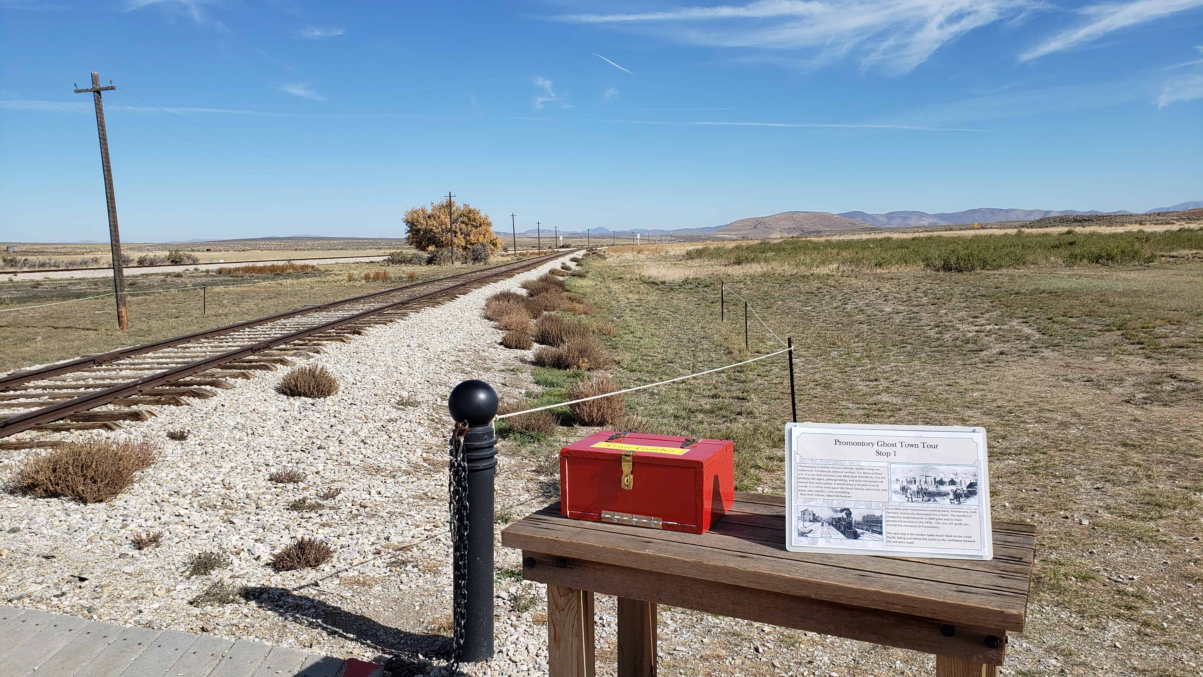
“Promontory is nether city nor solitude, neither camp nor settlement. It is bivouac without comfort, it is delay without rest. It is sun that scorches, and alkali dust that blinds. It is vile whiskey, vile cigars, petty gambling, and stale newspapers at twenty-give cents apiece. It would drive a morbid mind to suicide. It is thirty tents upon the Great Sahara, sans trees, sans water, sans comfort, sans everything.” – New York Tribune, Albert Richardson
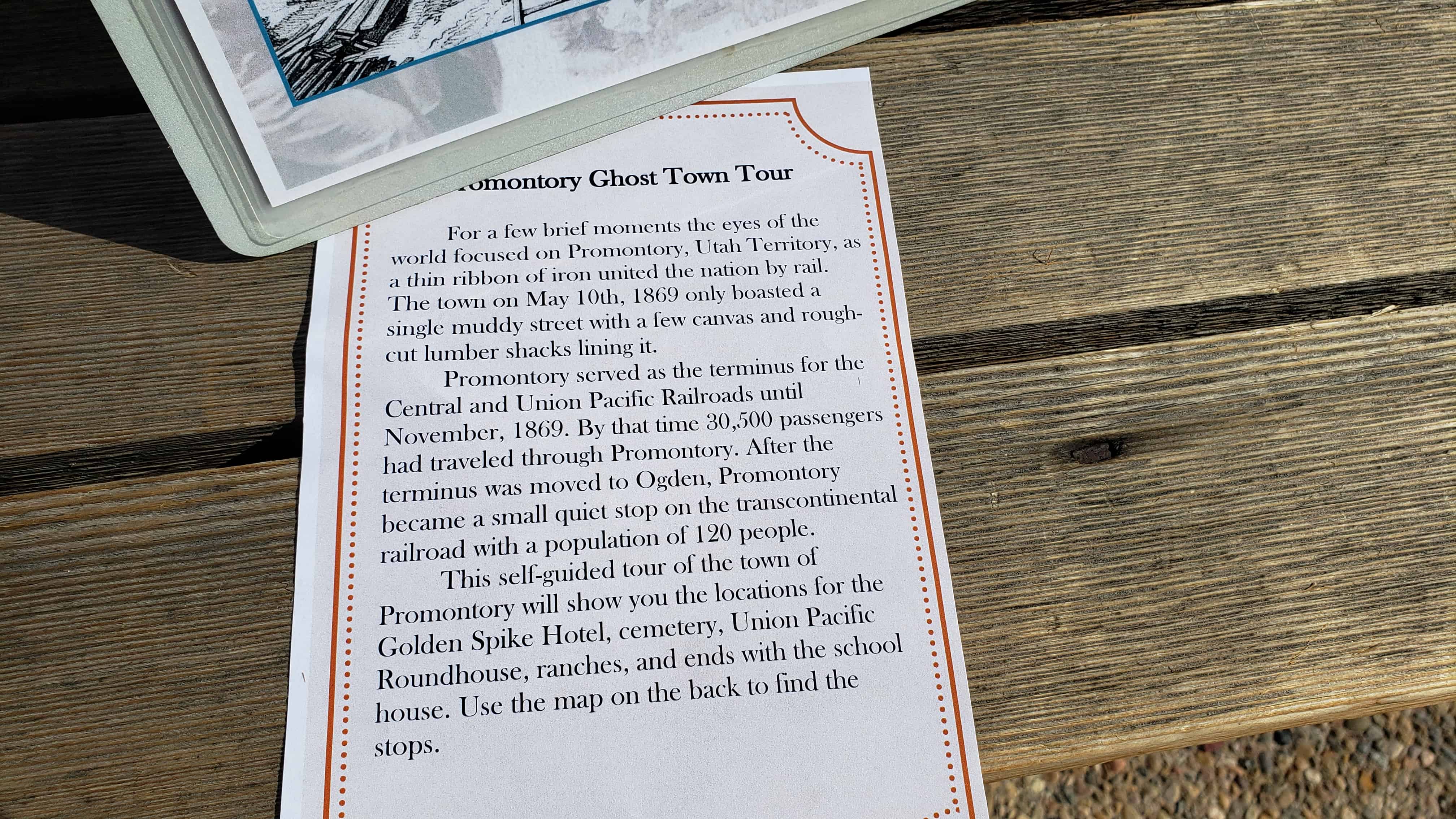
An unlikely and inconvenient meeting place, Promontory, Utah Territory, eventually developed into a town. The handful of temporary establishments in 1869 gave way to more permanent services in the 1870s. This tour will guide you around the remnants of Promontory.
The next stop is the Golden Spike Hotel! Walk to the Union Pacific Siding and follow the tracks to the northwest (toward the entrance road).
Golden Spike Hotel – Stop 2
The Brown family owned and operated the Golden Spike Hotel in the 1870s and 1880s. They offered travelers a chance to dine at the last spike.
In the early 1900s the hotel became the Houghton General Store. The store sold a variety of goods including tobacco, socks, cured meat, and even wine. The building also served as a depos, post office, and boarding house.
After a roof collapse in the 1950s, the building was finally demolished in 1965. Investigate the brush in front of you to see the remaining foundation of the building. The photograph in the center was taken from the south and includes the hotel and box elder tree that still grows at the site.
Cinders and Ashes – Stop 3
To your immediate right on the north side of the tracks is a dumping area for cinders. Locomotives burned coal or wood to heat their and the fireboxes needed to be emptied of cinders regularly.
If you look a little farther north you’ll see the site of a cemetery. Look for a depression area in the soil. At least 5 graves were reported to be in this location but have vanished since Promontory was abandoned in 1942. The graves were maintained by the Whitaker family for many years.
Last Spike Site – Stop 4
This is the spot! East meets West! The photograph to the left shows the first few temporary structures of Promontory in 1869. Tents served as restaurants, saloons, and even hotels. The next stop is the Round House for the Union Pacific. Follow the road to the next sign.
Union Pacific Round House – Stop 5
Like any vehicle, locomotives need maintenance to function reliability. A round house was constructed here to perform work on locomotives. While nothing exists above ground, archaeologist discovered the brick foundations and drain pipes are just a few inches under your feet.
The 1880s photograph below was taken from the south looking north. Using the round house in the center, where would you expect to find more building foundations?
Floyd/Larson Ranch – Stop 6
Della Owens, daughter of Hans Ethelbert Larson, was born in Brigham City in 1909 and lived in Promontory. Her family raised horses, cattle, and dry-farmed in the valley.
Looking straight ahead you’ll see what is left of the ranch she grew up on, a few metal posts fencing off a cistern for the ranch house. Della was 7 years old in 1916 when the obelisk was installed at the last spike site. She would have seen it every day on her way to school.
As you walk to the last stop you’ll be retracing the steps that Della took every morning on her way to school.
School House – Stop 7
Promontory had enough children to necessitate a school being built shortly after the town was founded. The site in front of you was home to that school. After the area was designated a national monument in 1965 all existing structures were moved or demolished. The school house is currently on private property and visible from the entrance road.