Tags
Justus Wellington Seeley II House
Justus Wellington Seeley II, the original owner of this house, was one of the pioneers of Castle Dale and one of the town’s most prominent citizens. He initiated and encouraged many local improvements and was held in high regard by residents throughout the county. His importance was such that on the occasion of his sixtieth birthday in 1910 and again upon his death twenty-one years later, his picture and accompanying article occupied the top center of the Emery County Progress, the “Official Newspaper of Emery County”.
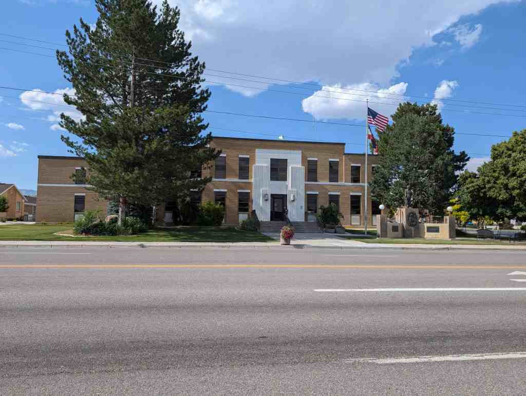
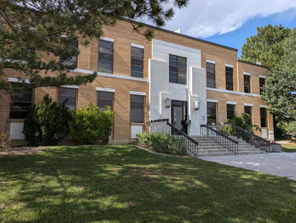
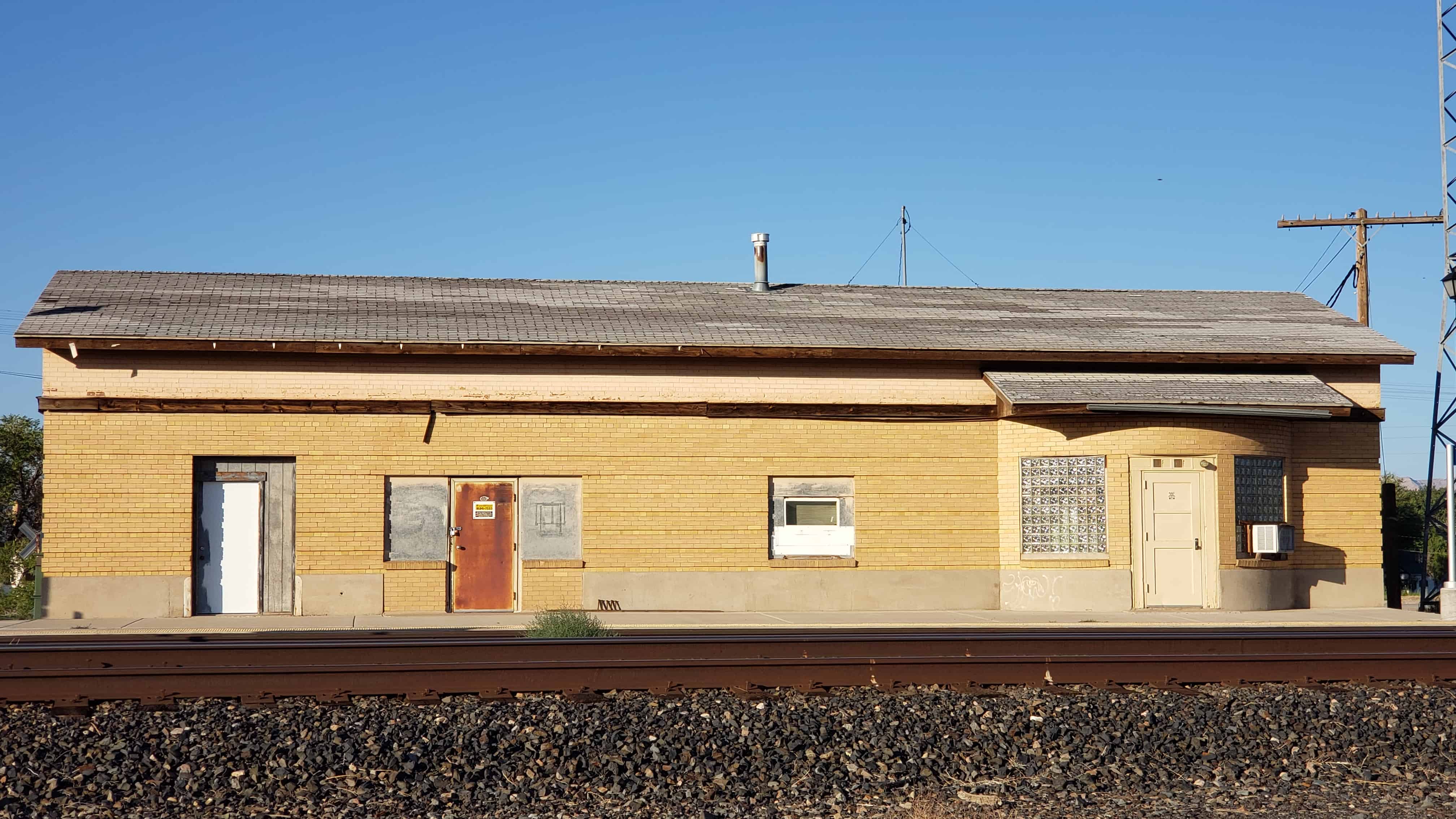
The Justus Wellington Seeley II House is located at 15 East 100 South in Castle Dale, Utah and was added to the National Register of Historic Places (#79002493) on November 15, 1979.
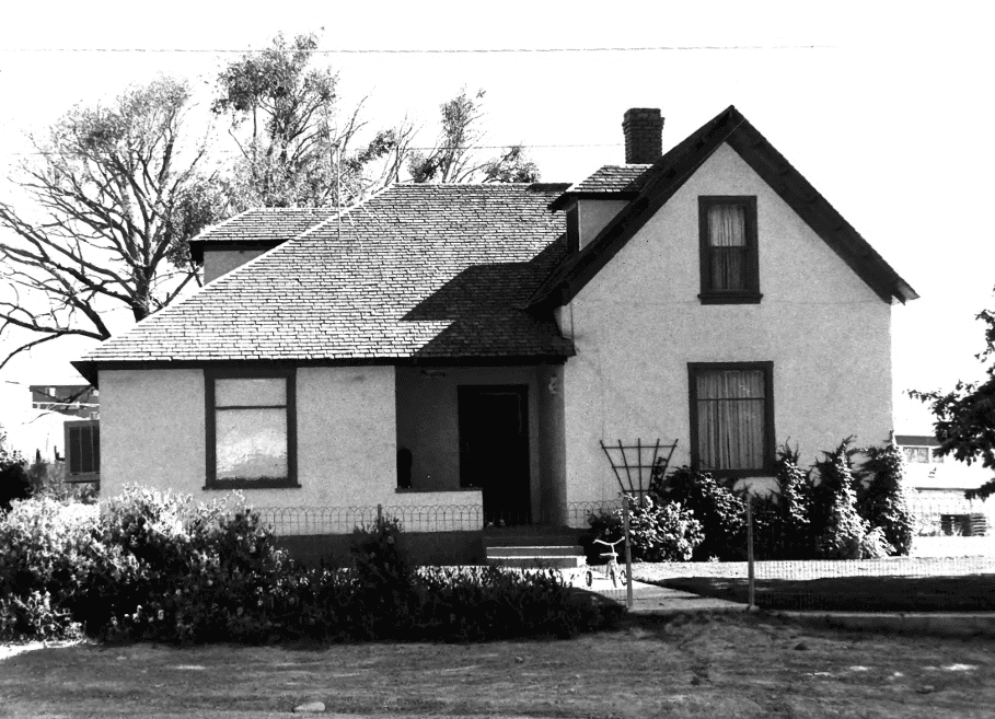
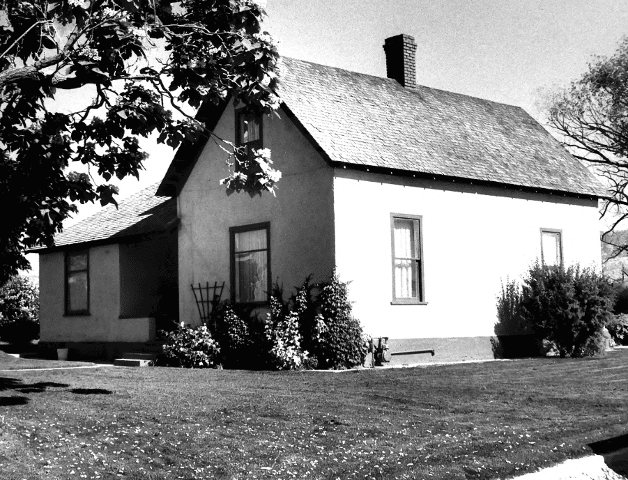
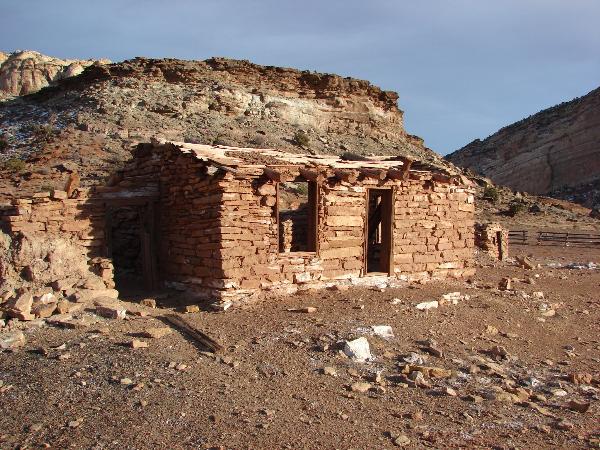
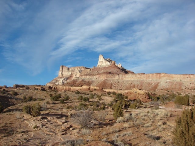
The Seeley house is a very plain example of T-plan one and a half story residence common in the early settlement of Utah. While other areas of the state were much more conscious of Eastern fashion by the 1880’s, the seventy of the Seeley house exterior reflects the late settlement of southeastern Utah.
Justus Wellington Seeley II, known as Wellington or “Wink”, first came to Castle Valley in 1877 at the age of 27, herding 375 head of cattle to their winter grazing grounds. That same year his older brother, Orange, received a call from President Brigham Young of the LDS Church to colonize the eastern side of the Wasatch Range. Seeley liked the country he had seen while herding so was willing to join his brother in settling the land. He decided to homestead, but had to locate and settle the land in order to claim it. In 1879 he started across the mountains from Sanpete to Emery County with his children, his pregnant wife, and Mrs. Mary Wilcox, a mid- wife. The inclusion of Mrs. Wilcox proved fortunate as his wife gave birth to a baby daughter, his third child, in Cottonwood Canyon on the way over. After a brief rest they continued their journey to the Emery County homestead.
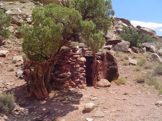
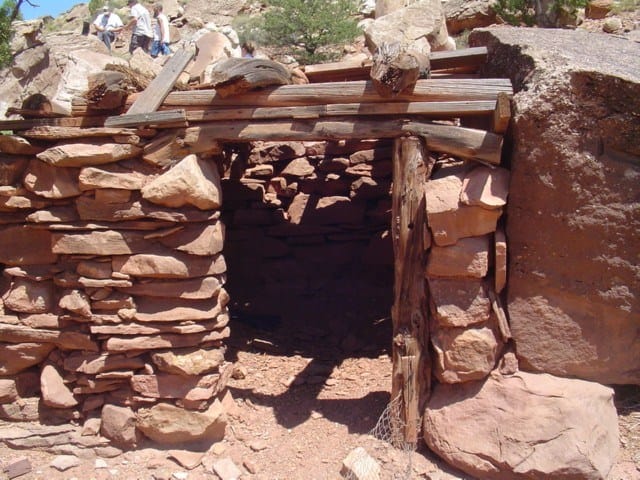
Wellington Seeley and his family settled on land where the Seeleys had already visited. In the winter of 1875-1876, Orange Seeley had come with a group of herders to pasture their flocks and herds on the east side of the Wasatch Mountains. Orange built the first dwelling in the county, a dugput measuring 20 feet by 30 feet, on what is now the Seeley farm. Another group of herders (possibly including Wink himself) wintered dn thedugout in 1877-1878. The area’s population grew, and by the winter of 1878-1879 there were 137 residents in Castle Valley, including several families. The Wellington Seeleys joined this group in 1879 and settled on land familiar to them, establishing their farm at the site of the dugout. Seeley homesteaded 160 acres between the present towns of.Orangeville and Castle Dale, and filed for his patent in 1886 after several years of improving the land. By 1898 he was cultivating 210 acres and owned 4,500 head of sheep, about 10 percent of the entire sheep holdings in Emery County.
Other settlers experienced similar growth and as the towns of Castle Dale and Orangeville grew, the populace became concerned about communications with other parts of the region. Early in 1879 the citizens petitioned the Federal Government for a post office in their area due to the recent initiation of an overland mail route from Salina, Utah, to Ouray, Colorado, over the Gunnison Trail. The only Castle Valley settlement already on the route was Wilsonville, several miles to the south. On June 1, 1879, the Castle Dale settlers were officially granted a post office which also gave the town its name. The original settlement had been called Castle Vale; the U.S. Post Office, for unknown reasons, gave it its present nomenclature. However, the Castle Dale post office was located eight miles from the trail so the postmaster had to go to Wilsonville, the nearest point, to collect the mail. For the first six months the mail wasn’t even separated; after that Castle Dale got its own mail pouch and finally the mail was dropped off at both points. The men of Castle Dale volunteered to assist their newly appointed postmaster by taking turns to carry the mail from Wilsonville. “For about one year the brethren continued their gratis mail service and during the winter season of 1879-1880 were often exposed to severe storms; once or twice the parties carrying the mail matter came near losing their lives on the road.” This group of mail carriers undoubtedly included Wellington Seeley.
As was common in Mormom pioneer settlements, the establishment of LDS Church organizations was also of utmost importance. On March 3, 1879, the Castle Dale precinct was officially created, but due to sparse settlement and the difficulty of communicating over such a wide area, the people still paid their taxes to Sanpete County that year. By 1880 matters were sufficiently settled so that the tithes were paid locally.
In August of 1880 the first local elections were held, and Wink won a seat as County Commissioner on the People’s ticket. He was re-elected in 1882 and 1885 and served all three terms at half pay as money was scarce at the time. In 1890 he joined the Republican Party, remaining active in that organization for many years. During World War I he served as mayor of Castle Dale.
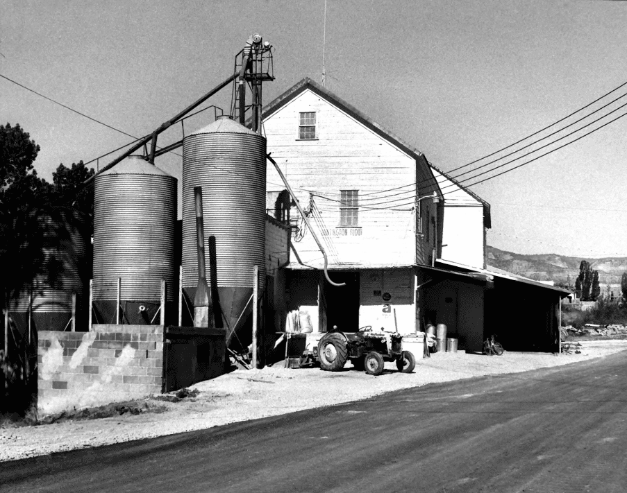
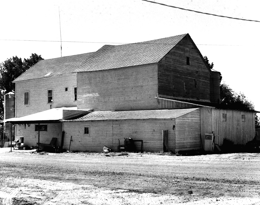
In addition to his civic accomplishments, Wellington Seeley worked hard to bring basic amenities of life to the fledgling community of Castle Dale. With his brother, Orange, he built the first burr mill in town, known as the Eagle Mills. Later he bought out Orange and in 1899 converted it to a roller mill for the more efficient processing of flour.
He also added a big boiler to the equipment and established an electric light plant in connection. His electric light system was inaugurated on January 4, 1904, the first electrification on the eastern side of the Wasatch Front. He also installed the first telephone in Castle Dale to corrmunicate between his brick house and the mill.
In 1889 Seeley attended the formative meetings of the Emery Stake Board of Education and proposed that the Academy be located at Castle Dale. He drew up the original plans for the building and was a long-time member of the committee charged with finding a suitable site. For many years he served as a member of the Emery Stake Board of Education.
In all of his positions, both civil and religious, he tried to acquaint Castle Valley with the advances taking part throughout the state and the region in communication, modernization, education and all other areas of concern. Partly through his efforts Castle Dale became the county seat. He was widely known throughout the area, and even had a town named in his honor. His sister, Sarah, had married Jefferson Tidwell who was called by the IDS Church to settle land in what is now south central Carbon County. When the settlers were deciding on a name for their town, Sarah suggested that it be called after her brother. His reknown was such that they approved the idea, and Wellington, Carbon County, is now a growing community of 1300 souls.
In addition to making community improvements, Seeley also provided for the comfort of his family. In 1878 he built the first lumber house in the area on his farm, not far from the old dugout. Eight years later he built the first red brick house in Castle Dale. The townsite was platted in 1889 and he bought several lots. He built this house the same year and it has remained in the family ever since. His first wife, Anna Reynolds- Seeley, bore her three youngest children in this house before she was thrown from a carriage and killed on November 18, 1895. Seeley married again to Mary Jorgensen of Mount Pleasant to \tan he deeded this house in 1918. She bore him four more children and gave this house to her youngest daughter, Dora, in 1939. Dora Seeley Otterstrom still resides in the house. Ihe Justus Wellington Seeley house is still in excellent condition. Its eight-inch- thick walls are made of adobes and faced with red brick, a common pioneer building technique. The bricks were shipped from upstate and hauled in wagons from the railroad terminal at Price. Family tradition holds that the bricks came from Morgan. 7 Brick of the same color and appearance was made there to build the original railroad depot and the extra bricks were sold throughout the state. The dark red color of this brick is unique for that period in Castle Valley. All interior partitions are also adobe, resulting in a very sturdy, durable structure.
Wink worked on the building himself, but the chief mason was the first Bishop of Castle Dale, Henning Olsen. BishopiOlsen was widely reknowned as a builder; in his first major construction effort he helped to build the Fort at Ephraim. He later built the IDS Meetinghouses at Ferron, Huntington, and Lawrence and directed the construction of several homes in Castle Valley. He and Wink were friends, and Wink served as his second counselor for several years.
Two major factors contribute to the excellent preservation of this house. The first is Wellington Seeley’s innovative nature. Because of his early acceptance of “new-fangled” inventions, later renovations proved unnecessary. For example, this was the second house in Castle Dale to be wired for electricity (after the house of his younger brother, William Seeley). The second factor has been the continuing family ownership of the house, a tradition ^ich will be perpetuated.