• About JacobBarlow.com
  • Cemeteries in Utah
  • D.U.P. Markers
  • Doors
  • Exploring Utah Email List
  • Geocaching
  • Historic Marker Map
  • Links
  • Movie/TV Show Filming Locations
  • Oldest in Utah
  • Other Travels
  • Photos Then and Now
  • S.U.P. Markers
  • U.P.T.L.A. Markers
  • Utah Cities and Places.
  • Utah Homes for Sale
  • Utah Treasure Hunt

JacobBarlow.com

~ Exploring with Jacob Barlow

JacobBarlow.com

Tag Archives: Petroglyphs

Sand Island Petroglyphs

04 Wednesday Mar 2026

Posted by Jacob Barlow in Uncategorized

≈ 1 Comment

Tags

NRHP, Petroglyphs, San Juan County, utah

Sand Island Petroglyphs

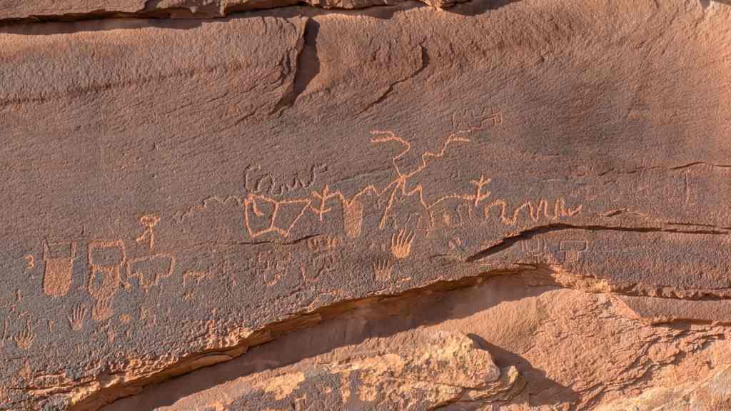
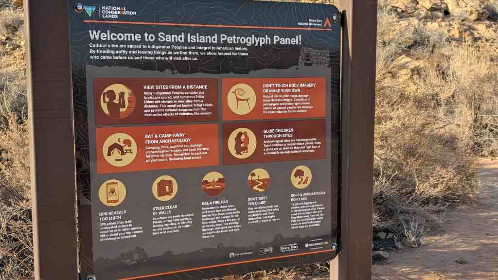
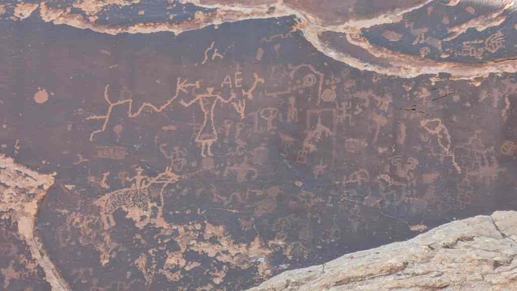
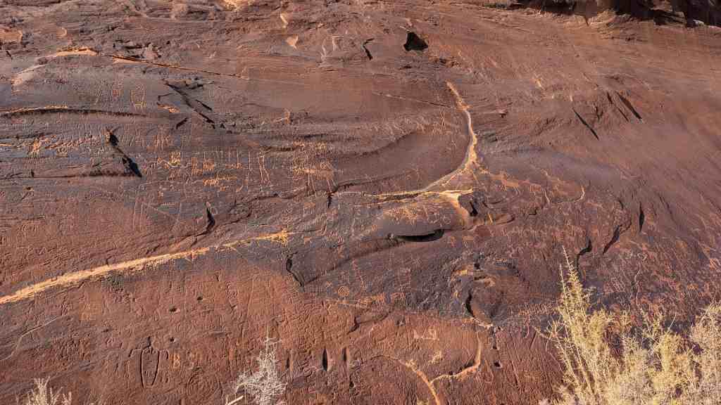
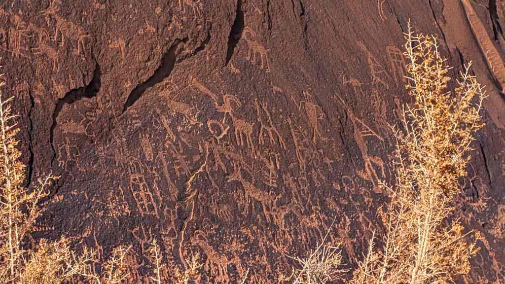
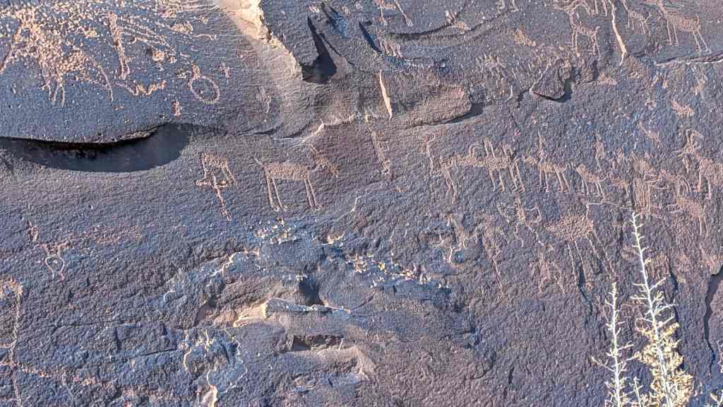
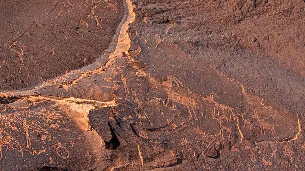
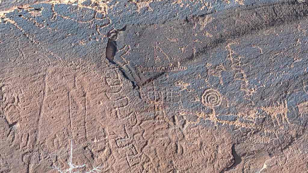
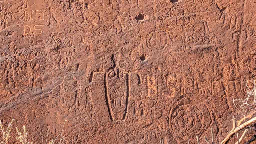
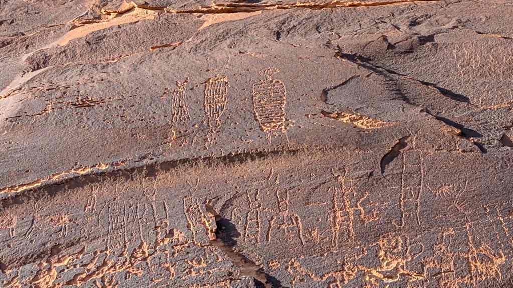
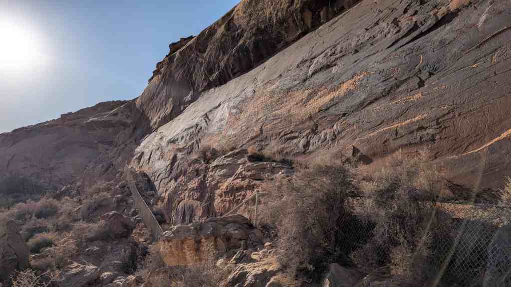
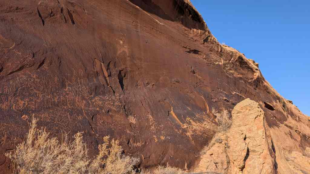
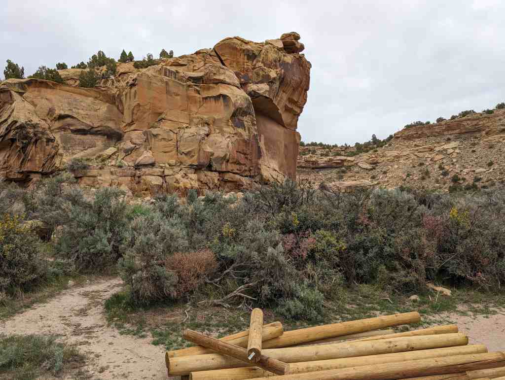
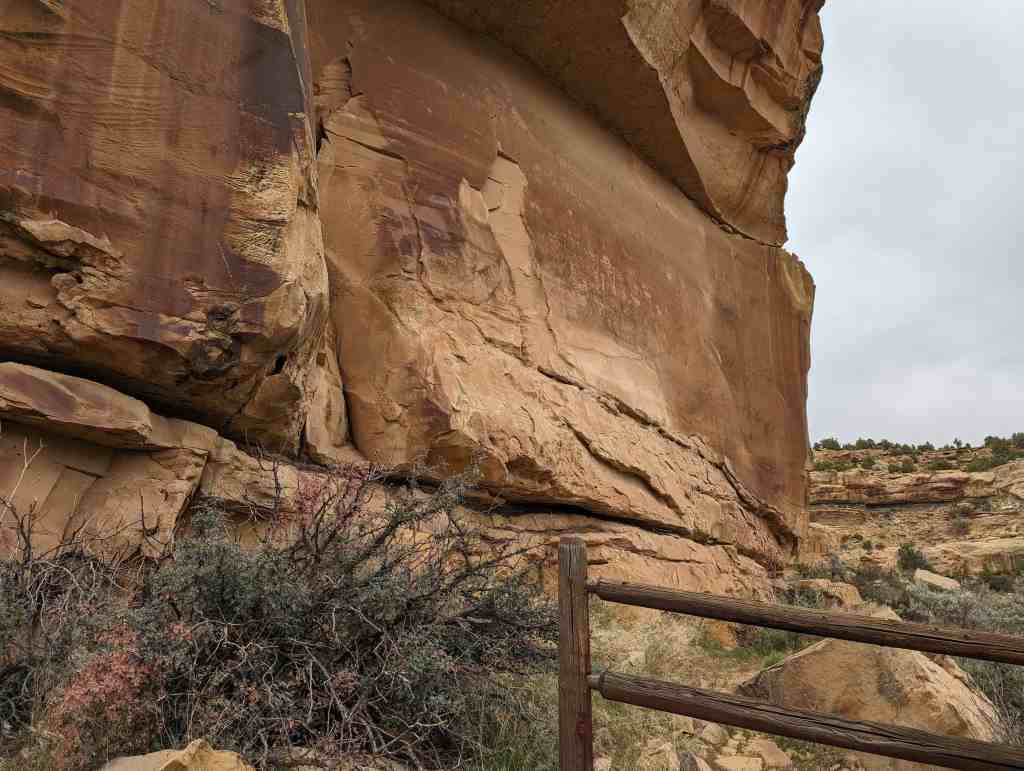
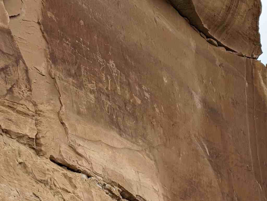
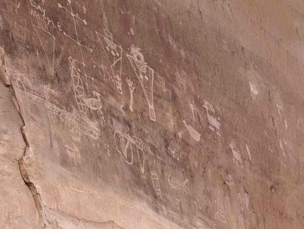
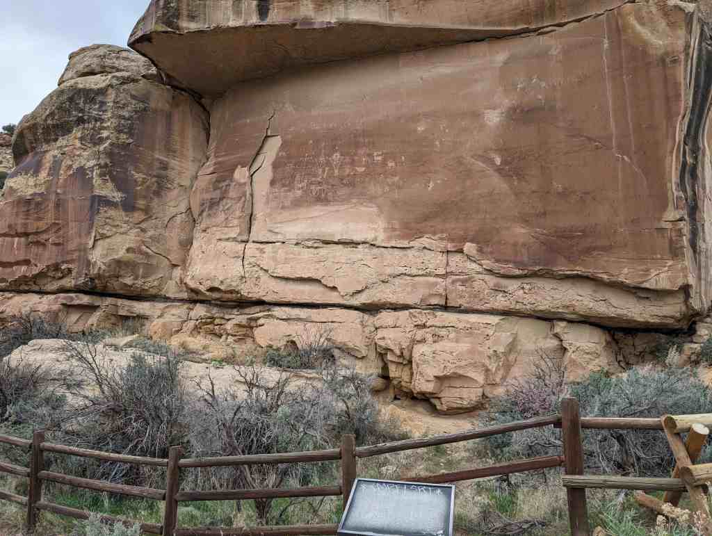
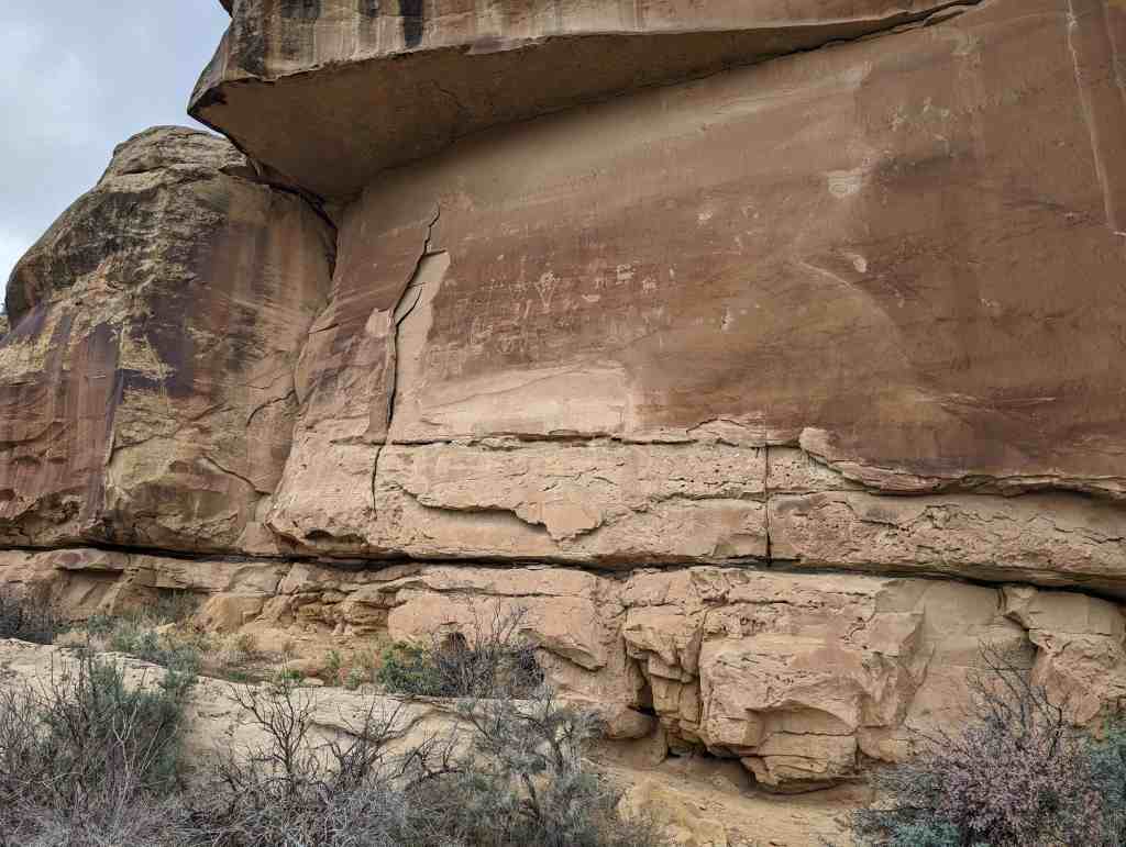
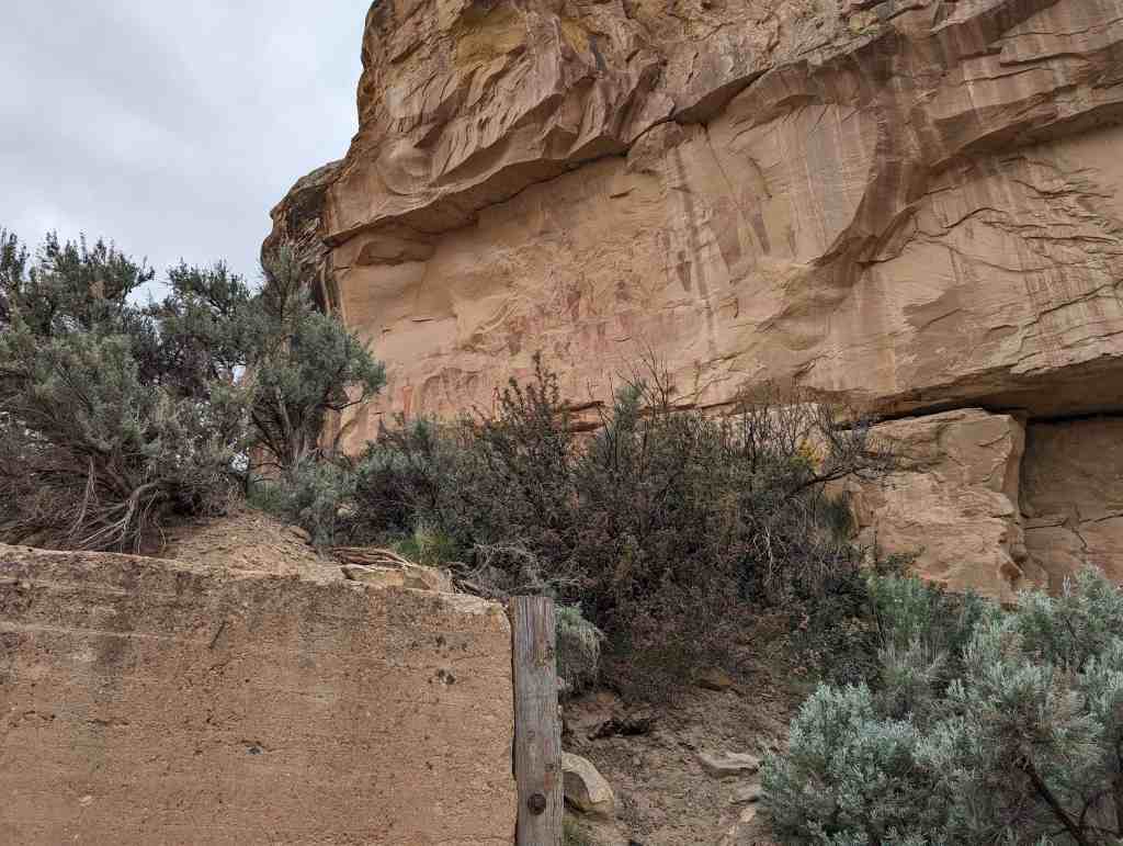
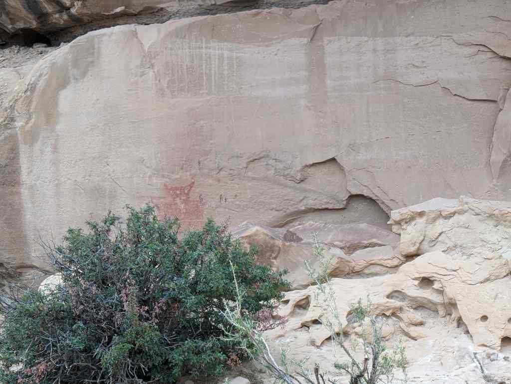
The sandstone cliff before you has hundreds of petroglyphs (pecked and carved images) on it. These images are estimated to be between 300 and 3,000 years old. This rock art site is listed on the National Register of Historic Places, and is a place of ancestral importance to Native Americans.

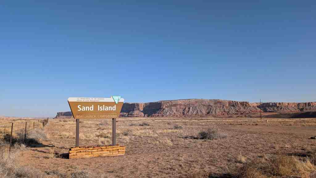
The Sand Island Petroglyph Panel is located in San Juan County, Utah and was added to the National Register of Historic Places (#81000585) on July 11, 1981.

Grapevine Canyon Petroglyphs

30 Tuesday Sep 2025

Posted by Jacob Barlow in Uncategorized

≈ 1 Comment

Tags

Clark County, Nevada, NRHP, Petroglyphs

Grapevine Canyon Petroglyphs (AZ:F:14:98 ASM)

The Grapevine Canyon Petroglyphs are located in the Christmas Tree Pass area outside of Laughlin, Nevada and were added to the National Register of Historic Places (#84000799) on December 15, 1984.

Thompson Wash Rock Art District

27 Thursday Feb 2025

Posted by Jacob Barlow in Uncategorized

≈ Leave a comment

Tags

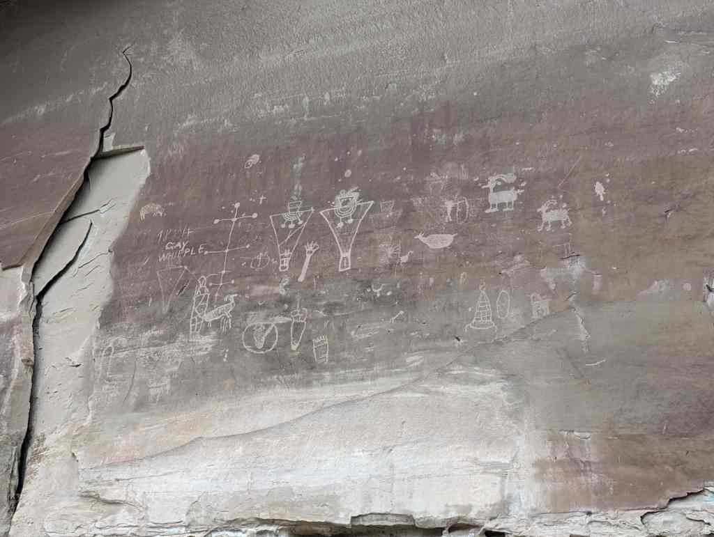
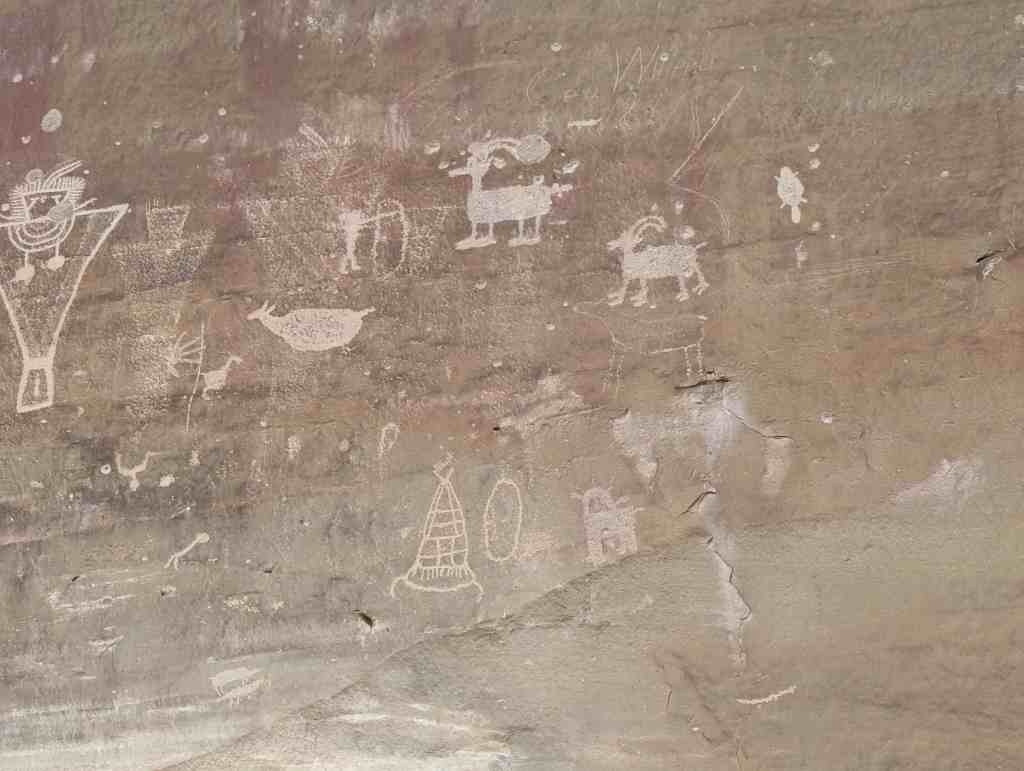
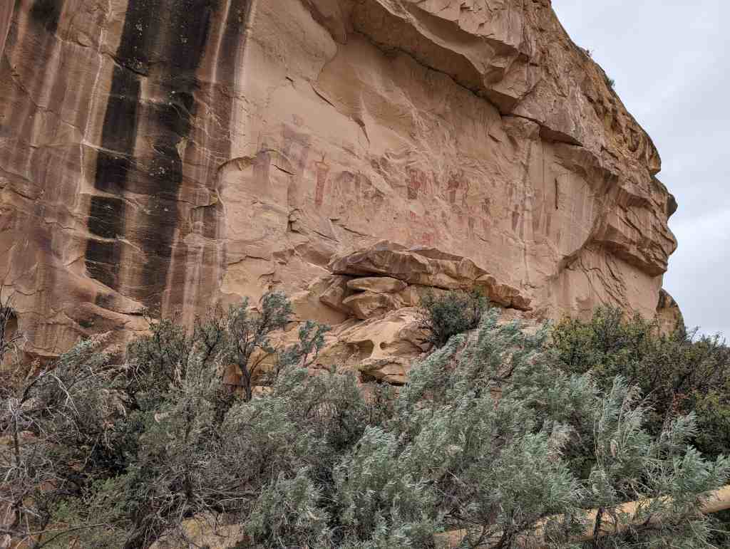
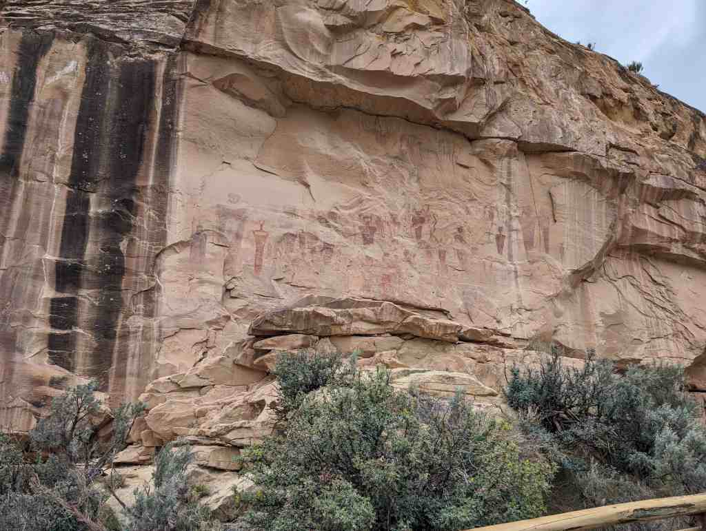
Barrier Style, Grand County, NRHP, Petroglyphs, Rock Art, Sego, Thompson, Thompson Springs, utah

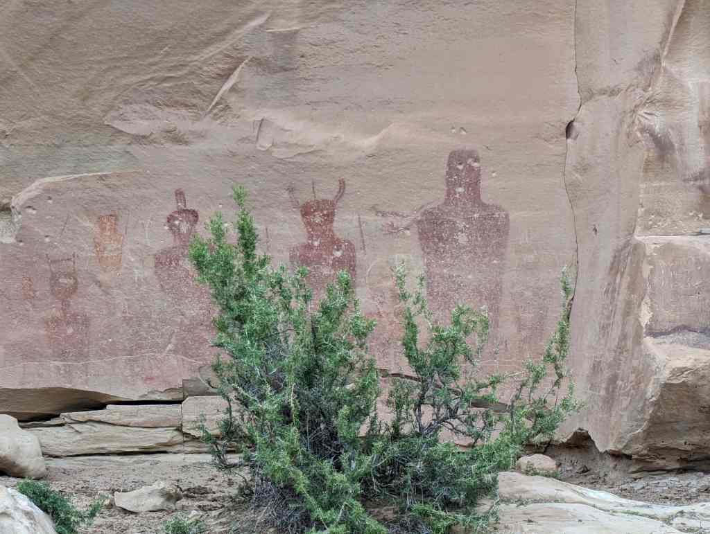
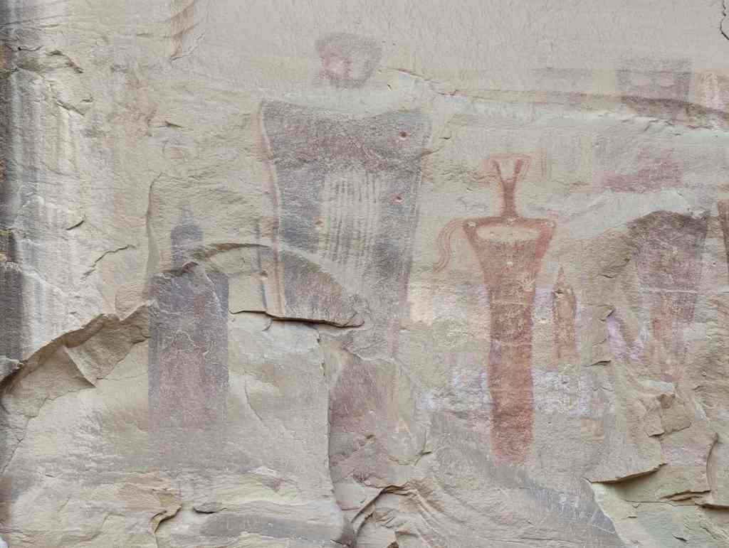
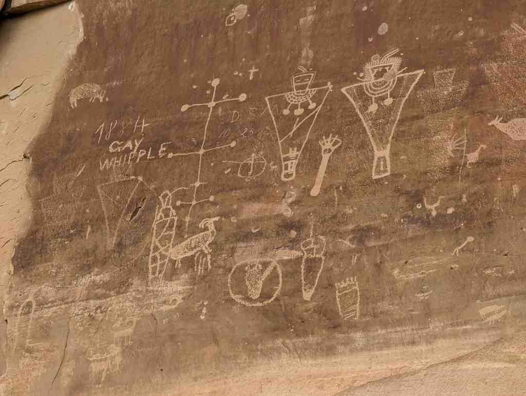
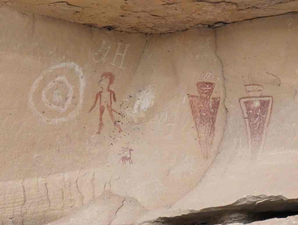
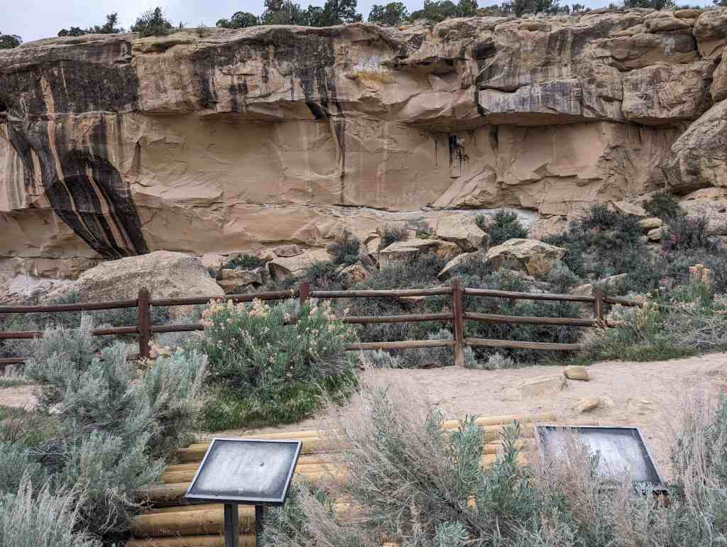
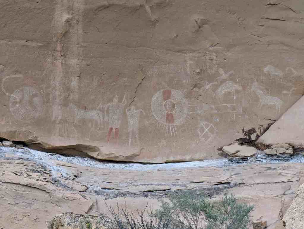
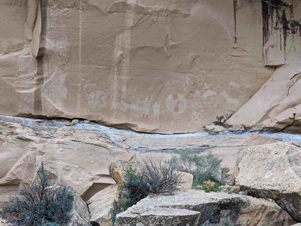
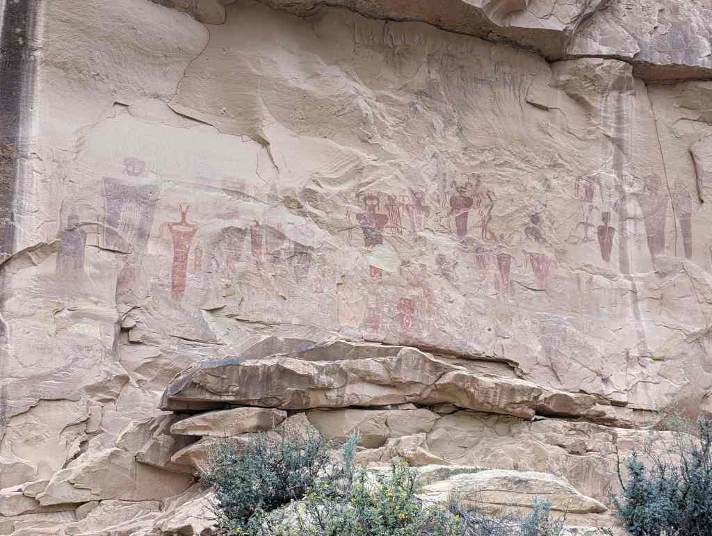
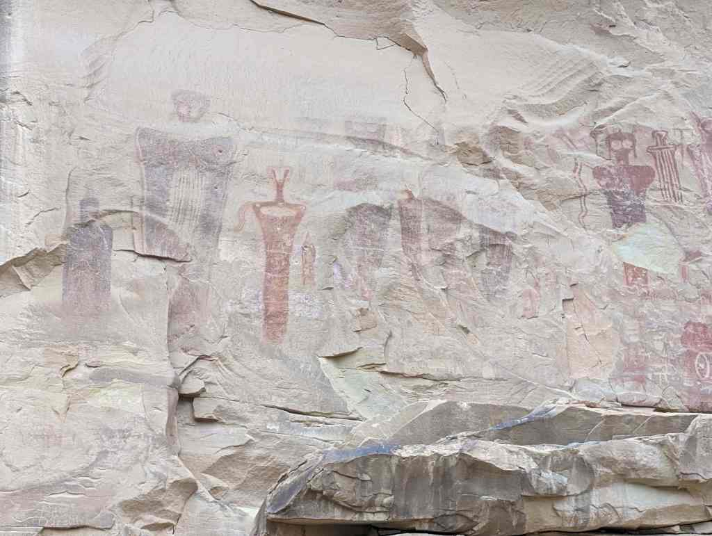
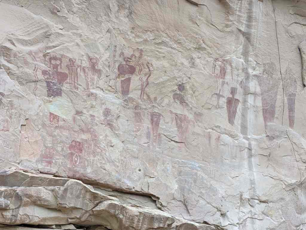
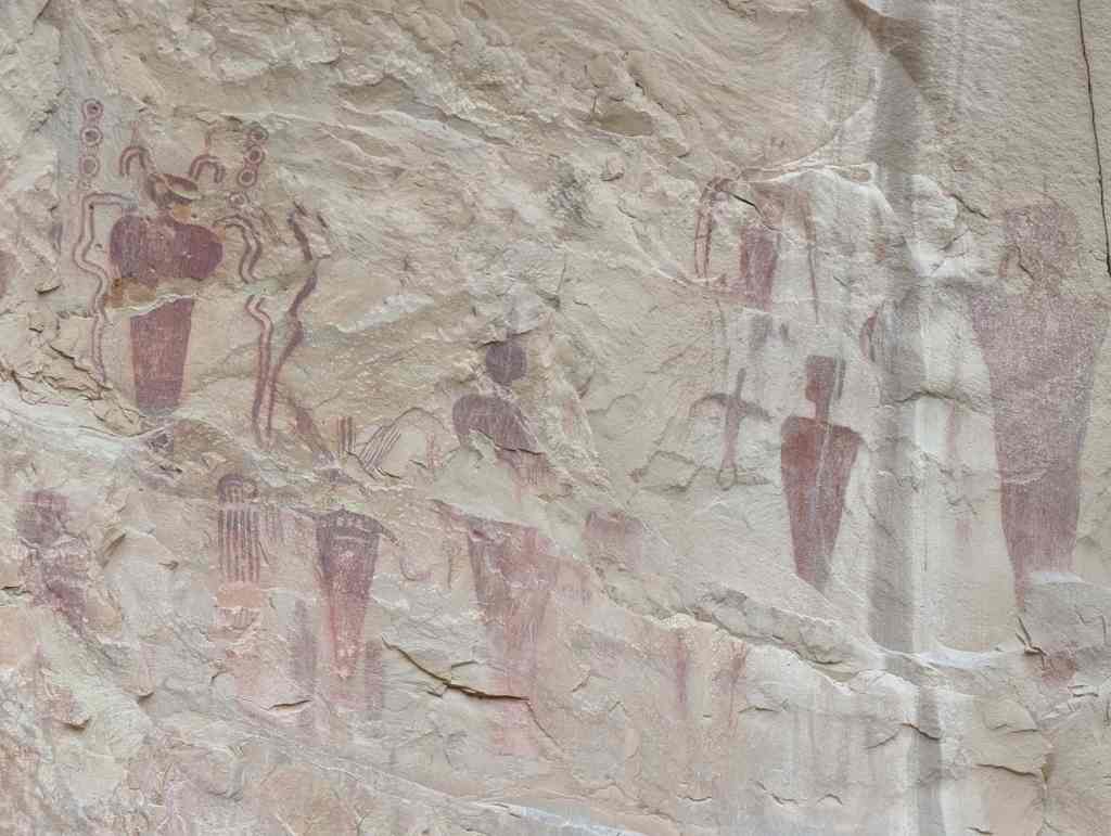
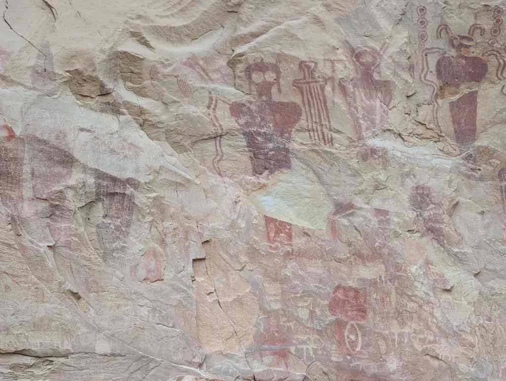
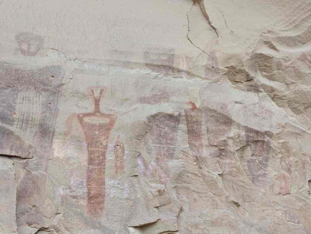
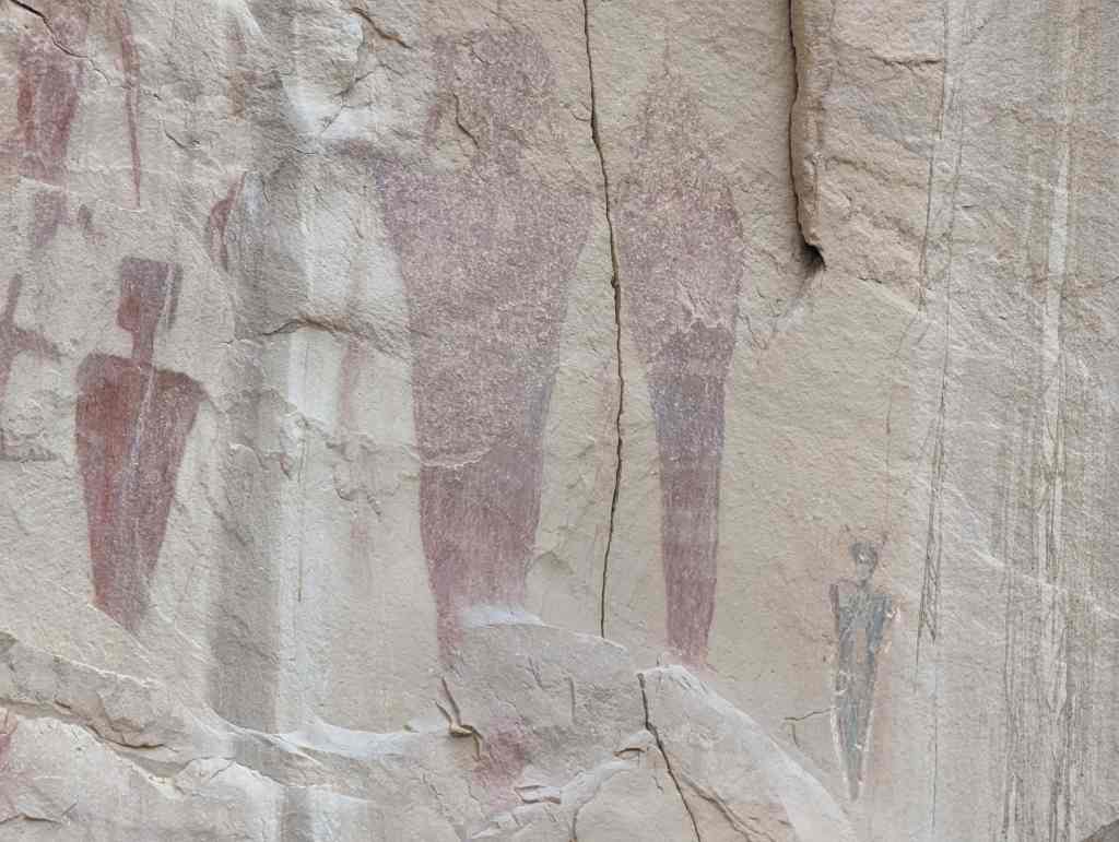
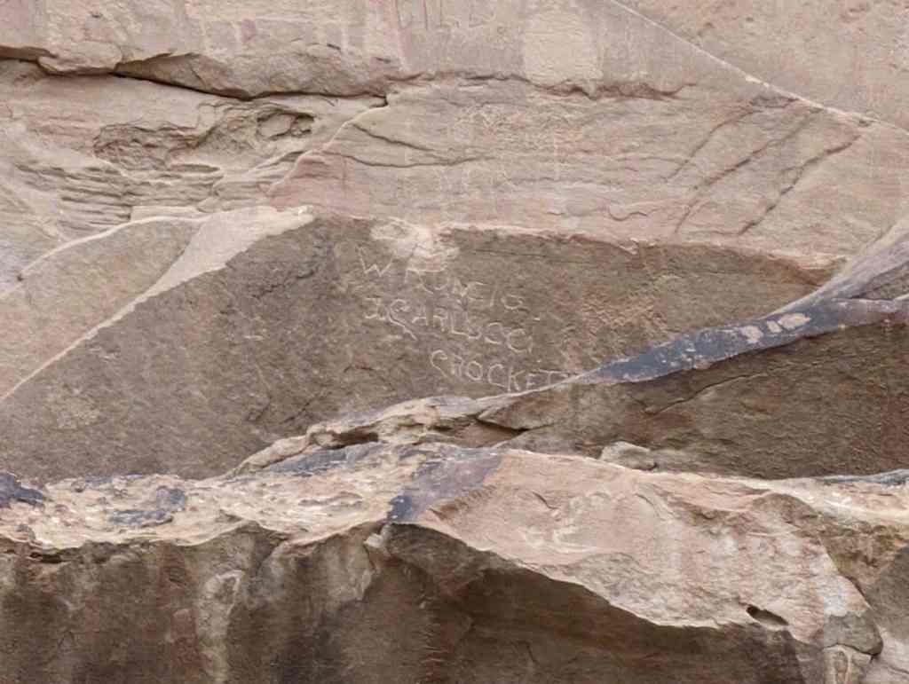
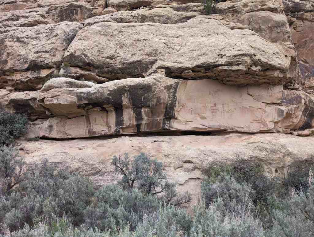
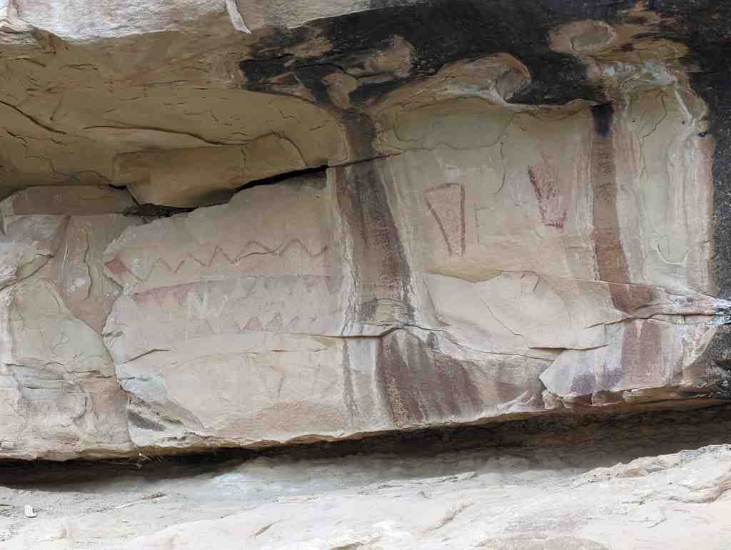
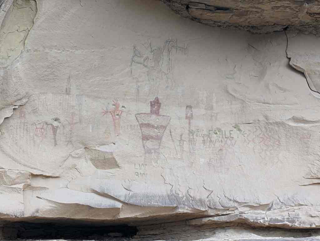
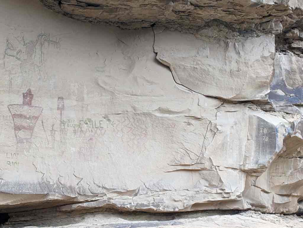
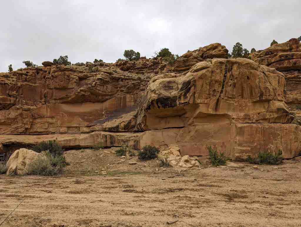
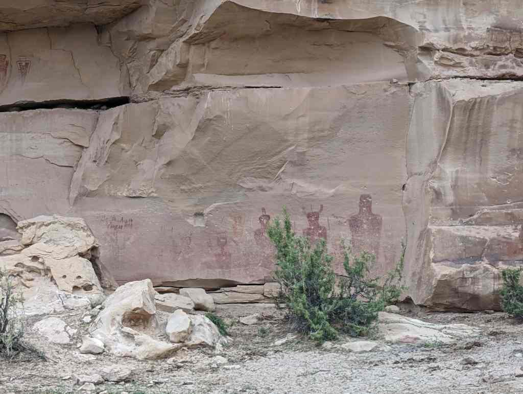
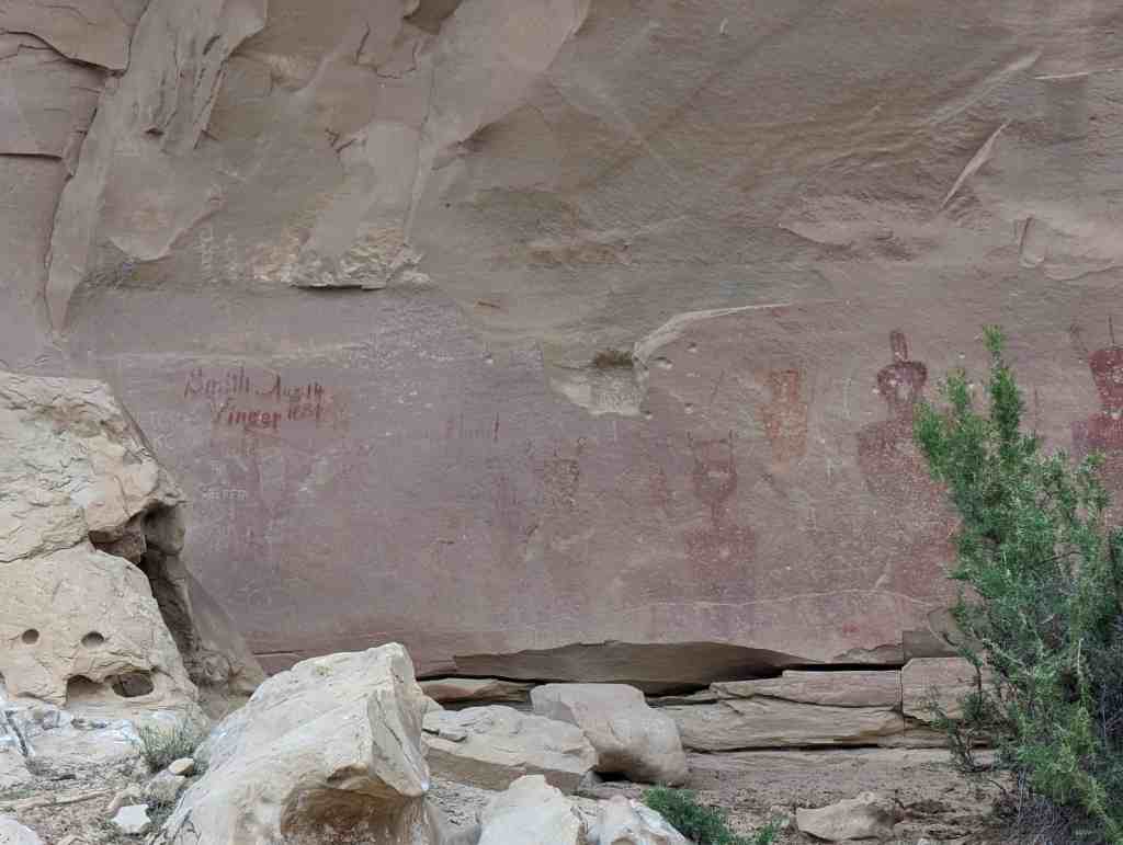
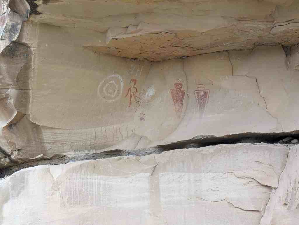
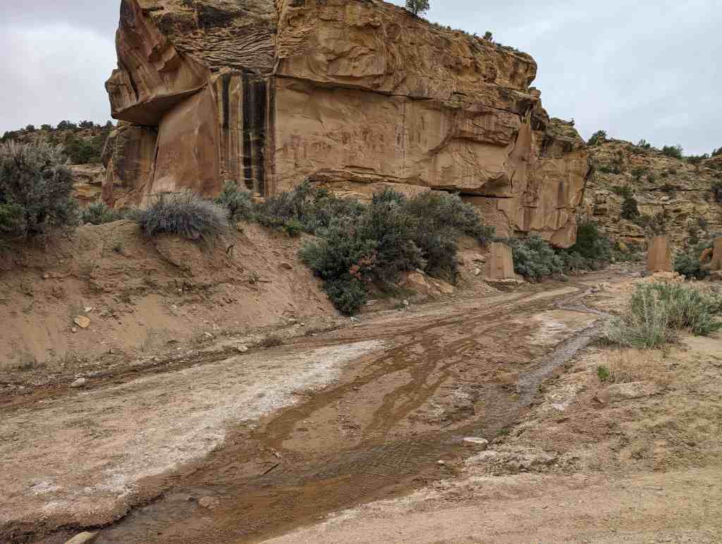
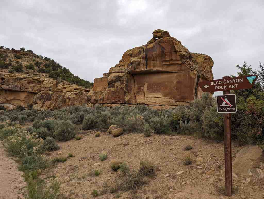
Thompson Wash Rock Art District / Sego Canyon Rock Art Interpretive Site

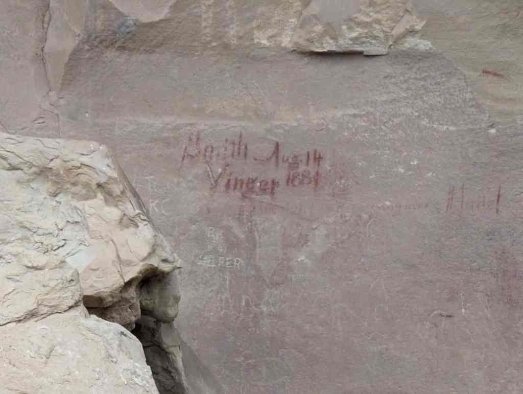
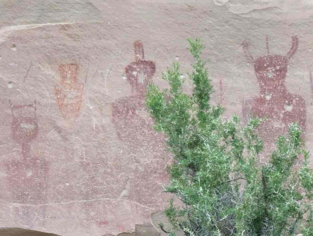
Sego Canyon contains three culturally distinct styles of rock art: Fremont, Ute and Barrier-style. A well preserved ghost town and ruins of a coal mine are located nearby. Visitors are advised to plan for at least a half day to explore this exciting area.*

Located in Sego Canyon near Thompson Springs, Utah. This site was added to the National Register of Historic Places (#80003909) on August 1, 1980.

Tim Springs Petroglyphs

27 Friday Dec 2024

Posted by Jacob Barlow in Uncategorized

≈ Leave a comment

Tags

Clark County, Nevada, NRHP, Petroglyphs

Tim Springs Petroglyphs

Added to the National Historic Register (#74001142) on December 16, 1974.

Rochester-Muddy Creek Petroglyph Site

21 Thursday Nov 2024

Posted by Jacob Barlow in Uncategorized

≈ Leave a comment

Tags

Emery County, NRHP, Petroglyphs, Rock Art, utah

Rochester-Muddy Creek Petroglyph Site

The Rochester-Muddy Creek Petroglyph Site / Rochester Rock Art Panel is located near Emery, Utah in Emery County. It was added to the National Register of Historic Places (#75001803) on June 26, 1975.

Manila Petroglyphs

13 Wednesday Mar 2024

Posted by Jacob Barlow in Uncategorized

≈ 2 Comments

Tags

Daggett County, Manila, NRHP, Petroglyphs, utah

The Manila petroglyphs are unique to Utah rock art, and resemble no other known panels in the state. Schaafama (n.d. :59) considers the site to be an example of the Plains Interior Line Style, which would make it the only one of this style in Utah. Day and Dibble (1963:14) point out that while some of the elements found in the panels are often assigned to the Fremont Culture south of the Uintah Mountains, these motifs are commonly found on the Northwest Plains also. In addition, the numerous phallic representations found on the Manila panels appear to be more characteristic of the Northwest Plains rather than the rock art found south of the Uintah Mountains.

Thus, it would seem that this rock art is most likely associated with prehistoric hunting and gathering cultures to the north of Utah. It should be noted, however, that the panels themselves do not closely resemble most of the published rock art to the north, and thus stand at present as unique examples of aboriginal art.

Located at Manila, Utah in Daggett County, the site was added to the National Historic Register (#75001802) on October 6, 1975.

The site consists of a 200-foot long, discontinuous petroglyph panel of anthropomorphic, zoomorphic and geometric figures. These figures have been deeply pecked into the mineral-stained faces of escarpment boulders and fallen boulders below the cliff, all of which are part of the Dakota sandstone formation. The outstanding elements In the panels are the large anthropomorphic figures (approx. 3 to 4 ft. high) which have intricate line designs in their interiors. They are rectangular in form, with prominent phalli. In addition, there are numerous small stick-figure anthropomorphs, and animals done in the same manner; these Include mountain sheep, bison, and deer (or elk). Involved abstract designs are present–concentric circles, zig-zags, wavy lines and other motifs. Extensive camping sites are associated with the petroglyph panels. Heavy concentrations of lithic materials are present both above and below the boulders on which the art is located. There is a small spring only a few hundred yards below the panels (i.e., to the south), which may have been an important factor In the location of the art work and camp sites.

At present, the site appears to be in excellent condition with the exception of a few initials and minor shooting (using the concentric circles for target practice). No new vandalism was noted in 1975 from the time the site was first recorded in 1962. The road which runs immediately to the south of the site is now closed, making access more difficult, and probably providing more protection from vandalism.

Little Brush Creek Petroglyphs

19 Tuesday Dec 2023

Posted by Jacob Barlow in Uncategorized

≈ Leave a comment

Tags

Petroglyphs, Uintah County, utah

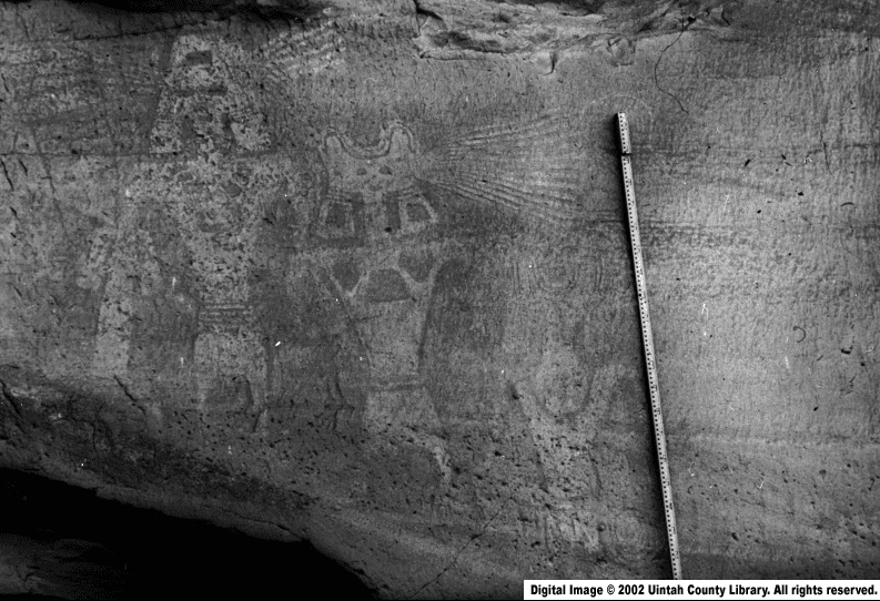
Little Brush Creek Petroglyphs

https://collections.lib.utah.edu/ark:/87278/s6b59z7g

Little Brush Creek Petroglyphs is a site in Uintah County that was listed on the National Historic Register (#76001837) on March 15, 1976.

Moonflower Panel

01 Wednesday Mar 2023

Posted by Jacob Barlow in Uncategorized

≈ Leave a comment

Tags

Petroglyphs, Rock Art

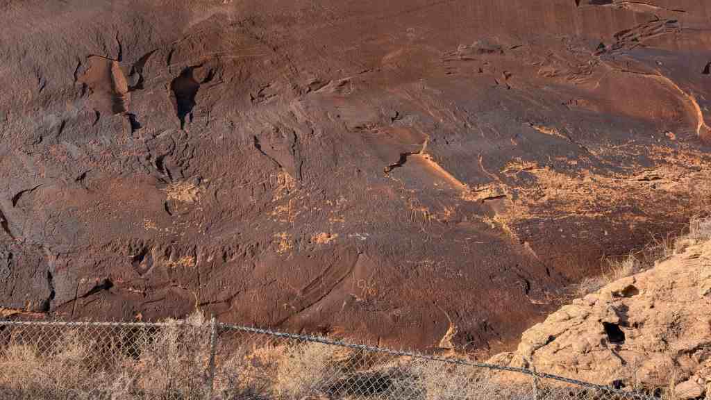
The Moonflower Panel in located at the mouth of Moonflower Canyon where it branches off of Kane Springs Canyon outside of Moab, Utah.

Barrier Canyon figure at Moonflower Panel

Moonflower Panel

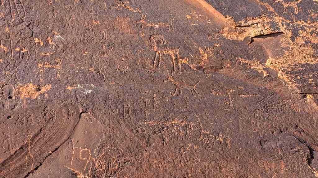
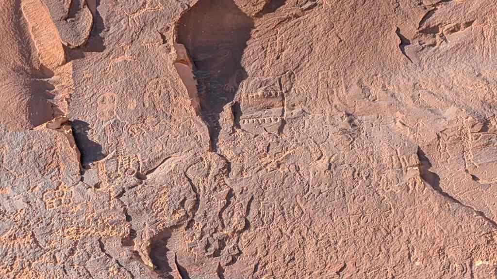
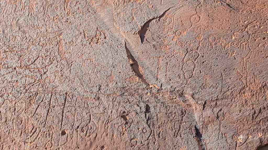
Here at the mouth of Moonflower canyon, along the rock cliff and behind the wooden fence, you can see a rock art panel dating from the Archaic (5000 BC- AD 1) to the Formative Period (500 BC-AD 1250). The panel includes a Barrier Canyon Style anthropomorph (a large triangular figure with headdress), desert bighorn sheep, snakes, smaller anthropomorphs, and various abstract images. You will also find some historic carvings on the panel as well as modern graffiti.

The Rock Art of Kane Creek

Following along the Kane Creek corridor, you can find multiple rock art sites with styles dating from the Archaic (5000 BC-AD 1) to Formative Periods (500 BC-AD 1250) and more recent Ute rock art. Some of the most common images found at these panels include big horn sheep, anthromorphs (human figures), circles and spirals, foot prints and paw prints, and various types of abstract images and designs. Several panels include more unique images such as owls, canines, decorated human figures, and animated scenes like the birthing panel.

Although many of these sites have existed for hundreds, even thousands of years, they are currently facing destruction due to vandalism, which most commonly appears in the form of graffiti. Rock art sites represent the incredible human history of this region and are considered sacred by Native communities. As such, these sites deserve our respect and greatest efforts to preserve them from future damage.

Birthing Panel

01 Wednesday Mar 2023

Posted by Jacob Barlow in Uncategorized

≈ 1 Comment

Tags

Archaeological Sites, Petroglyphs, Rock Art

Birthing Panel

As a visitor to the “Birthing Rock,” you have the opportunity to view a variety of rock art styles dating from the Archaic to the historic Ute period, including the Abajo-La Sal style that is unique to the Canyonlands region. The Abajo-La Sal style has attributes of both the San Juan Basketmaker style and the Barrier Canyon Style. The Abajo-La Sal style features broad-shouldered anthropomorphs (human figures) with short arms that extend straight out from the shoulders. The anthropomorphs may also have arc-like arms or no arms at all. Other images common to the style include animals, tracks (including bear tracks), and linear geometric forms-all of which we can see here at the Birthing Rock.

At the Birthing Rock you can also see more common rock art from the Formative Period, such as centipedes, big horn sheep, snakes, and various geometric and abstract shapes. The Ute period is represented by horse figures also found on the panels.

Archaeological sites and artifacts are integral to American history and sacred to Native peoples. By treading softly and leaving things as we find them, we show respect for those who came before us and those who will visit after us.

This is located in Kane Springs Canyon at N 38.52197 W 109.60275

Newspaper Rock

25 Saturday Jun 2022

Posted by Jacob Barlow in Uncategorized

≈ 1 Comment

Tags

NRHP, Petroglyphs, San Juan County, utah

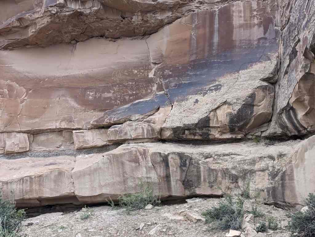
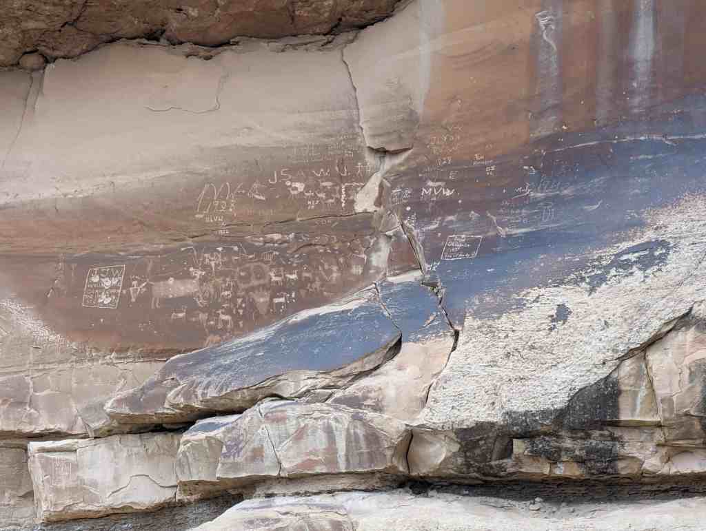
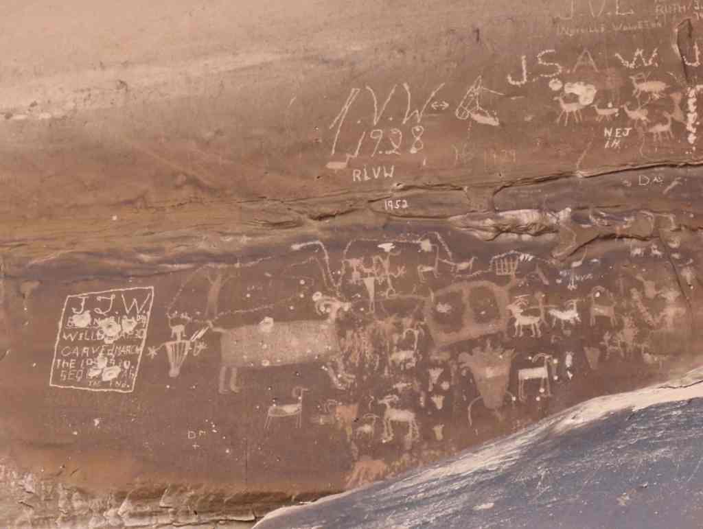
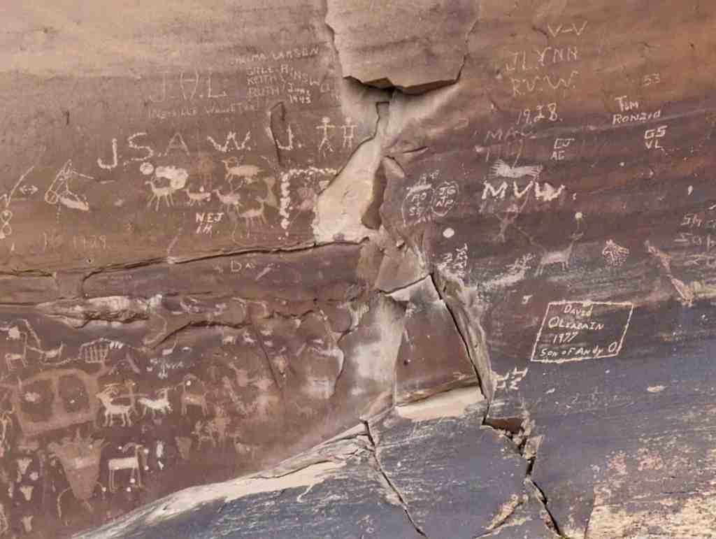
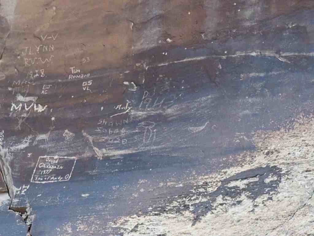
Newspaper Rock is a petroglyph panel etched in sandstone that records approximately 2,000 years of early human activity. Pre-historic peoples, probably from the Archaic, Basketmaker, Fremont and Pueblo cultures, etched on the rock from B.C. time to A.D. 1300. In historic times, Ute and Navajo people, as well as European Americans made their contributions.

In interpreting the figures on the rock, scholars are undecided as to their meaning or have yet to decipher them. In Navajo, the rock is called “Tse’ Hane’ ” (Rock that tells a story).

Unfortunately, we do not know if the figures represent storytelling, doodling, hunting magic, clan symbols, ancient graffiti or something else. Without a true understanding of the petroglyphs, much is left for individual interpretation.

Newspaper Rock is located on Highway 211 in San Juan County, Utah and was added to the National Register of Historic Places (#76001833) on March 15, 1976.

Newspaper Rock Petroglyph Panel at Indian Creek State Park is an outstanding site, exhibiting some of the finest examples of Ute art work as well as that of earlier cultures. The quality of the carvings is uniformly high, and the wealth of figures provides considerable material for the study of prehistoric and early historic aboriginal cultures. The more recent Ute figures on the panel are believed to date between A.D. 1700 and 1750. The depiction of horses indicates that the panels were probably not done before A.D. 1700 or -even 1750. On the other hand, the fact that the horsemen are using bows and arrows suggests that the carvings were executed ~ before ca. 1850, since bows were probably not the usual weapons utilized after this date.

The chronological position and cultural affiliation of the earlier figures on the panel presents a problem. Despite the fact that Schaafsma (1970) considers evidence which indicates that this may not be the fact, including the assumption (as yet unproven) that archeologists can assign a particular rock art style to a particular culture. At present, there are no known Fremont sites in the Indian Creek drainage. Sites which have been recorded in adjacent areas are generally considered to be Mesa Verde Anasazi. Thus, other archeological evidence would seem to indicate that the earlier figures on Newspaper Rock are either Mesa Verde Anasazi or belong to earlier cultures in the area (Basketmaker II or III).

In addition to it’s significance as an example of aboriginal art, the site has become a model of how to handle major archeological sites in heavily traveled areas. As Schaafsma has noted “If isolation does not protect the site, it is better to bring it right out for all to see, giving the best explanation possible and providing the most effective physical protection available” (1970:58).

← Older posts

Follow Jacob

Follow Jacob

Blog Stats

  • 2,079,661 hits

Social and Other Links

BarlowLinks.com

Recent Posts

  • West and East Mitten Buttes
  • “Hole-In-The-Rock” Crossing
  • Site of the Old Provo High School
  • Hole-in-the-Rock Arch
  • Lee’s Ferry

Archives

Loading Comments...