The Jens Nielson House, constructed in about 1890, is locally significant because it is one of only half a dozen remaining houses in Bluff that documents an important phase in the history of the town: the evolution from farm village to cooperative livestock production. That development began in the late 1880s and assured Bluff’s survival. Until then, its existence was in doubt. It is also significant because of its association with Jens Nielson. As bishop of the Bluff LDS Ward from the time of the town’s founding in 1880 until his death in 1906, he played a key role in building the town during its first generation. The Nineteenth Century Mormon ward was more than a geographical ecclesiastical entity, and the bishop was more than a religious leader. The ward was also the most important political unit, and, except for the family, the most important social unit. The duties of the bishop were, therefore, extensive, particularly during the initial phase of colonization, when it was he who directed the process of community building.
The Jens Nielson House is located at 625 East Black Locust Avenue in Bluff, Utah and was added to the National Register of Historic Places (#82004155) on February 22, 1982.
The Mormon settlers who founded Bluff in 1880 tried to establish it on an agricultural economic base. Despite immense effort and considerable hardship, they failed. By the mid-1880s, it had become clear that the people of Bluff would either have to find another means of livelihood or abandon the town and settle elsewhere. Some did leave. Those that stayed turned to stockraising, and by 1890, San Juan County, along with Box Elder County and Rich County, were the centers of the cattle industry in Utah. In 1880, for example, there were 267 head of cattle other than milch cows and working oxen in San Juan County. That was 1.3 head for every person in the area. In 1890, there were 17,100 head of cattle in the county, 47 for every man, woman, and child. According to one historian. “Never again in Utah history would so few people live with so many cattle.”
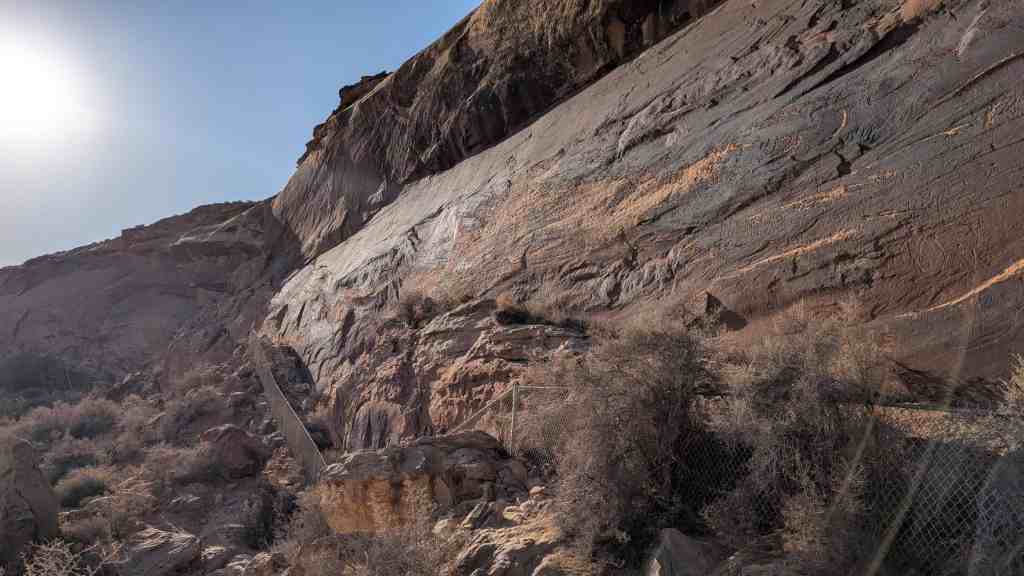
With the growth of the cattle industry, Bluff’s built environment began to change. In 1890, all of Bluff’s approximately 25 families lived in log houses, and all of the public buildings, including the post office, the hotel, the church, and the school house, were built of logs. Gradually, the log buildings began to be replaced with stone ones. Built of stone quarried in nearby mountains, they reflect Bluff’s new found prosperity and stability.
This house was built ca. 1890 for Jens Nielson. He was born in Denmark in 1820 and married Elsie Rasmussen in 1850. They emigrated to Utah in 1856 as converts to the Mormon Church. In 1879 they were among the nearly 250 people whom the Mormon Church “called” to settle what is now San Juan County.2 it was a rugged and isolated area, 300 miles from the nearest centers of Mormon population.
The founding was part of the effort that Mormons began soon after they arrived in the Salt Lake Valley in 1847 to systematically explore and colonize the surrounding area. In order to build a commonwealth that would guarantee them permanent security, they intended to settle everywhere they could as fast as they could. By the end of the Nineteenth Century, Mormons had founded nearly 500 cities and towns throughout present Utah and the surrounding states.
The group that Mormon officials called to settle the San Juan River Valley set out in the fall of 1879. Their journey with wagons and stock during mid-winter was almost a catastrophe. The settlers thought their route was a shortcut. Later geographers deemed it the most difficult that any wagon train had encountered in the history of the west. So rugged was the territory over which they travelled that it took them 6 months to go 260 miles. Two of those months they spent cutting and dinamiting a path through high cliffs above the Colorado River. The precipitous trail over which they finally moved has been known ever since as Hole-in-the-Rock. Bluff was not originally their intended destination, but they settled there, according to one settler because, “We were too tired to go on, and it was too far to go back.”
Soon after he arrived in Bluff, Nielson was named bishop. He served in that office until his death 26 years later. As bishop of a ward in an isolated and remote area of the state, he faced greater problems and duties than did many of his counterparts. Having only irregular contact with church headquarters in Salt Lake City, he served, in effect, as “theologian, stateman, pastor, constable, judge, arbitrator, and foreman.” His charge was to take the lead “in every domestic improvement” establish and supervise schools; assist the farmers; supervise the cultivation of public property and the repair of ward fences; assign to new arrivals their farm and town lots; see personally to the distribution of irrigation water and the maintenance and construction of ditches; keep cattle out of the fields, impose sanctions on uncooperative owners; assign men to work on community road crews; and direct construction of schools, meetinghouses, and other public buildings. Because the scope of the bishop’s duties were so broad, his character and personality to a large extent shaped his ward. Historian Charles Peterson saw Nielson as the glue that held Bluff together in its early years. It was largely because of his leader- ship and personality that the original settlers of Bluff stayed on, rather than abandoning the town after a few years in the face of very difficult times,