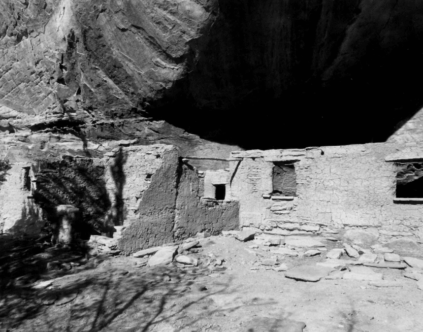
Rainbow Point Comfort Station and Overlook Shelter
The Rainbow Point comfort station and overlook shelter have local significance under National Register criteria A for their association with NPS administrative development, and under criterion C as examples of NPS rustic building design. National Register areas of significance include government, recreation, and architecture. The period of significance for these buildings extends from 1939 until 1944, the end of the historical period as defined by the National Register. Since the time of their construction, the NPS has continuously used these buildings to provide lavatory services and to present interpretive material to park visitors. Historic contexts with which the Rainbow Point buildings are associated include: 1) the development of recreation and administrative facilities within BRCA; and 2) the development of NPS rustic architecture. They are included in the property type that contains resources associated with NPS administrative development, and are part of the Bryce Canyon National Park Multiple Property Submission.
The NPS constructed the buildings at Rainbow Point towards the end of the New Deal era. Rainbow Point, located at the southern end of the rim road, was the last area of the park to be developed for public use prior to the end of the historical period. Its isolation from other BRCA facilities, necessitated the construction of sanitary and interpretive facilities. CCC crews participated in the construction of the buildings, the plans for which originated from the Branch of Plans and Design. The rustic style of the buildings is similar to that of other, earlier public facilities, built by the NPS in BRCA and other western parks. Both are good examples of the “exaggerated” rustic architecture reserved for public buildings.
Located in Bryce Canyon National Park in Kane County, Utah and added to the National Register of Historic Places (#95000427) on April 25, 1995.
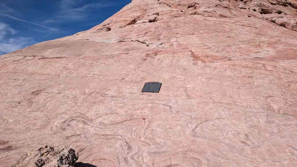
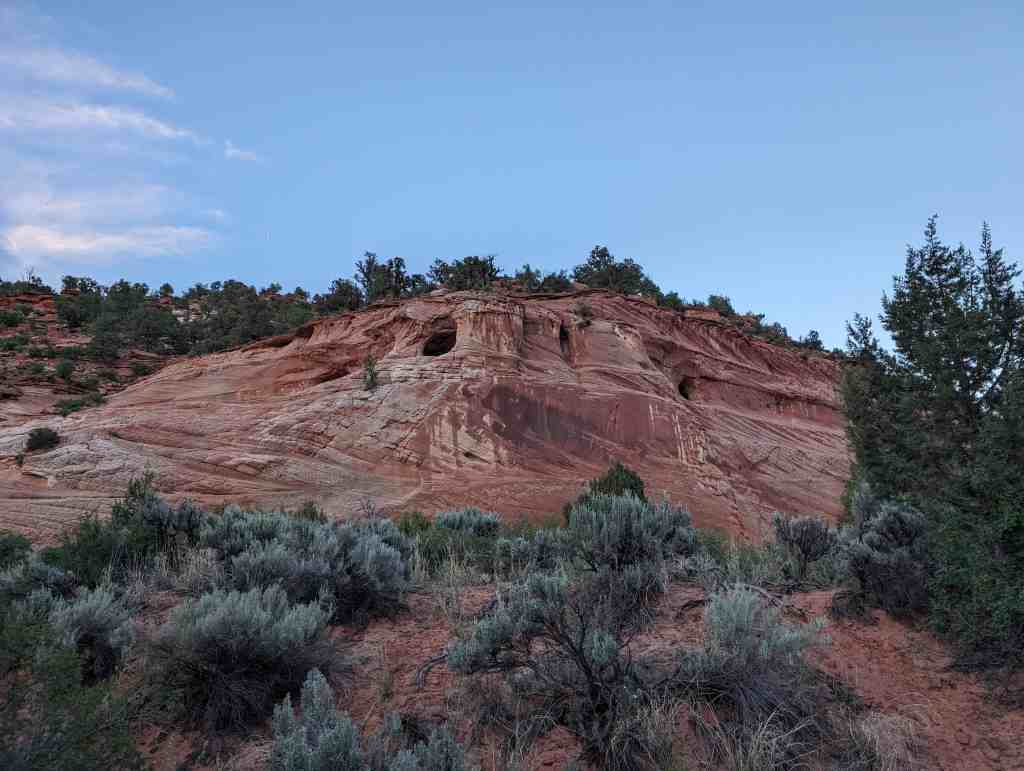
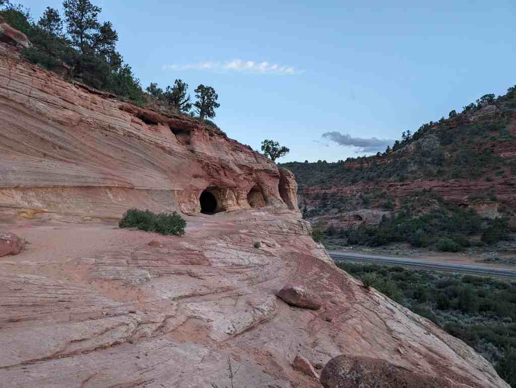
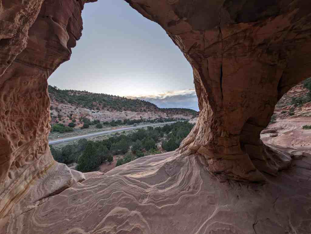
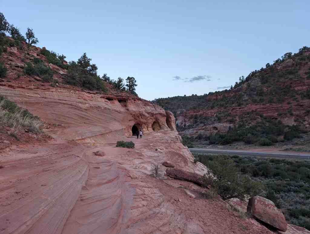
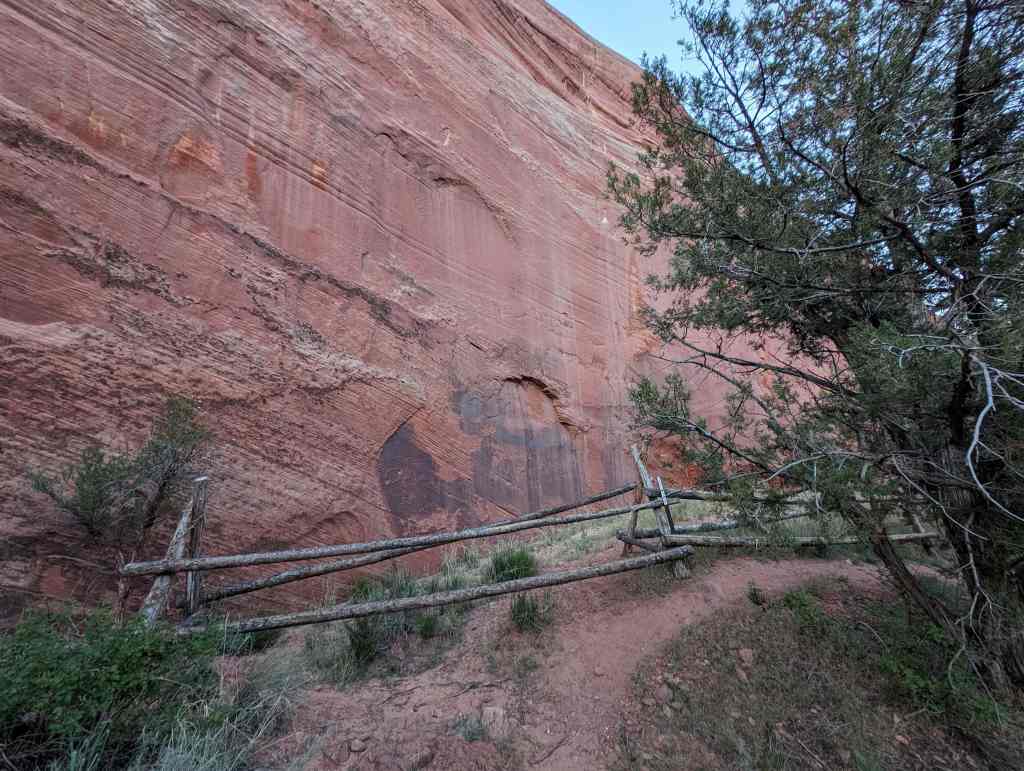
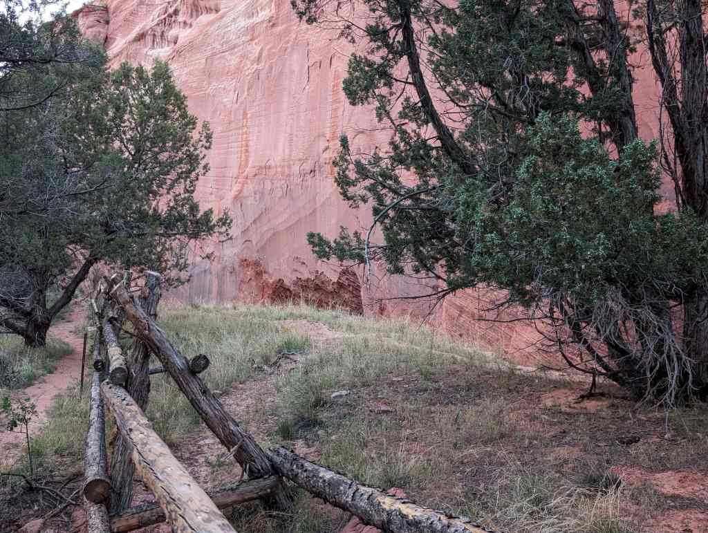
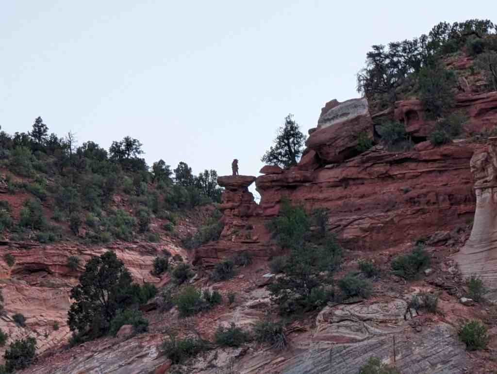
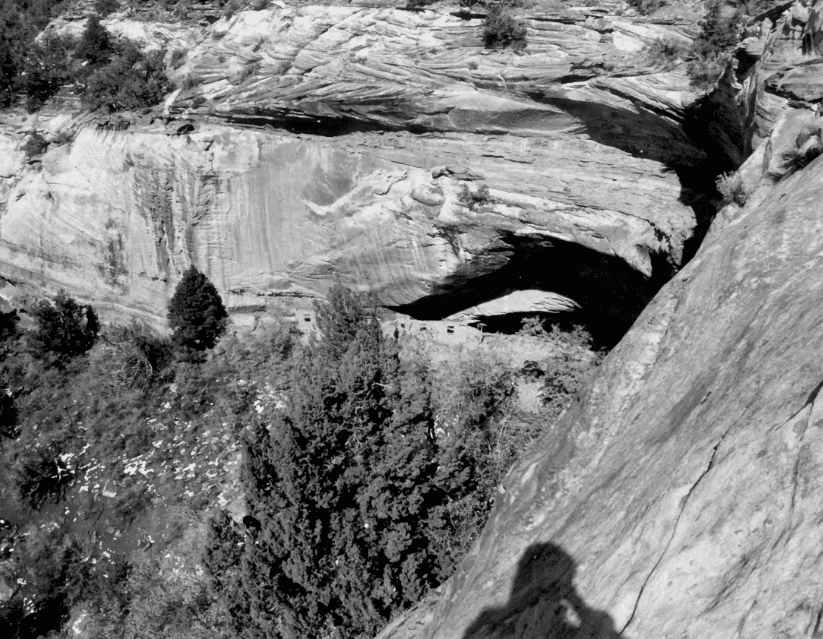
Rainbow Point is located at the highest elevational point within Bryce Canyon National Park (BRCA), at the southern terminus of the Rim Road. Here, Douglas fir forest and native shrubbery forms a relatively dense vegetative cover. The Overlook Shelter (HS-59) is located directly adjacent to the plateau rim, and overlooks Black Birch Canyon. The Comfort Station (HS-58) is set back from the rim, within the timber. Pathways (both paved and unpaved) lead from a parking area to both buildings, however the Comfort Station is not readily visible from the parking area.
Comfort Station (HS-58):
This one-story, rectangular, wood frame building rests on footings of native stone. The exterior walls are finished with horizontally placed “V-joint” shiplap siding, with vertical half logs used to cover the joints in the shiplap. The hip roof is covered with unpainted wood shingles and has a metal vent extending from the interior storage area. The log rafters have exposed ends. Windows throughout the building are wooden, six-light hopper, which open inward in order to accommodate the fixed exterior screens.
The north elevation contains an entry (with a tongue and groove plank door), flanked on the east side by two windows. The east elevation contains a central entry flanked on either side by two windows. This entry has a tongue and groove plank door with one small light. It provides access to a storage area that runs the width of the building. The south elevation has another entry (with a solid tongue and groove door) that is flanked on the west side by three windows.
The building is divided into two major components which correspond to the mens and women’s lavatories. A small storage area divides these two spaces. The interiors of the lavatories have been remodeled with new finishing materials. Originally, the walls were finished with lath and plaster. However, the current interior is finished with ceramic tile and new linoleum.
In 1987, National Part Service (NPS) personnel replaced the roof. As originally constructed, both the men’s and women’s entries to the buildings had two-sided privacy screens that obscured the entries from view. The screens had log frameworks and were filled with horizontally placed 1X4″ louvered boards. These have been removed. The interior was remodeled in 1980, when new tile and metal stalls were added.
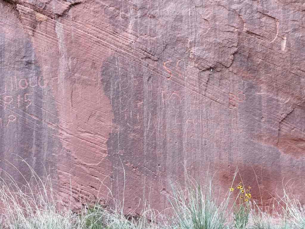
This building possesses integrity of setting and location. With the exception of the removal of the entry screens, the exterior possesses integrity of materials, workmanship and design. Although this detracts from the historical appearance of the building, the major structural components and distinctive architectural features of the building remain in place. However, the interiors of the two lavatories lack historical integrity and do not contribute to the significance of the building.
Overlook Shelter (HS-59):
This rectangular, one-story building is constructed on a concrete and stone foundation. The open structure has a hip roof covered with wooden shakes. The structural system for the roof, including the truss work, rafters, and vertical columns, are formed with peeled logs. Rafter ends are exposed. A board and batten ceiling currently obscures the underside of the roof system. The northwest, northeast, and southeast elevations are enclosed only with a horizontal log railing. Built-in seats, made from a large (21 “-diameter) log line these sides of the building, with the exception of a centrally placed opening in the northeast elevation, which provides direct access to the plateau rim.
The southwest elevation contains two display bulkheads, one on each side of a central opening into the shelter. The bulkhead walls are constructed with 8″ vertical boards and 1X4″ battens. The interiors of the bulkheads are accessed via separate entries located on the interior of the building. Both entries have tongue and groove plank doors. There are two recessed display areas in each bulkhead, which are meant to be viewed from the exterior of the building. The north display area is enclosed behind plate glass set in a 1X2″ wood frame. The interior of the storage areas are unfinished.
The overlook shelter possesses integrity of materials, workmanship and design, setting and location.