Tags
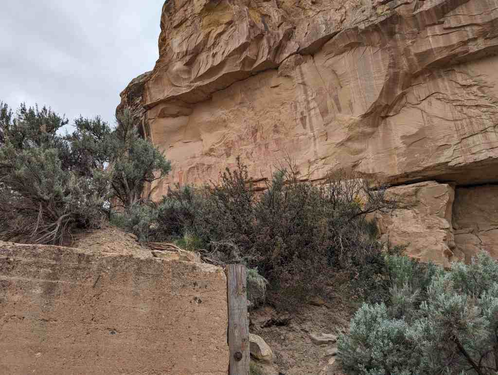
Johnson Ranch House
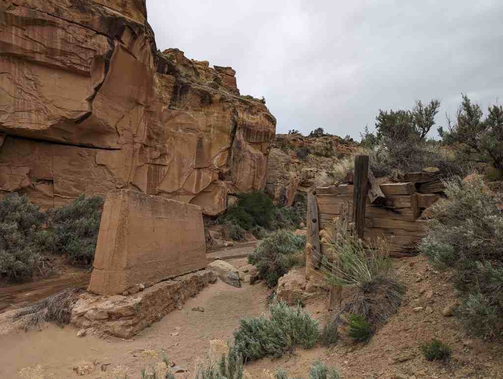
The Johnson Ranch House is a single-cell random-rubble sandstone house located near Hastings Road along the east bank of the Green River 21 miles northwest of Crescent Junction, Grand County, Utah. The house, constructed circa 1906, is the best preserved example of vernacular random-rubble sandstone and cottonwood log single-cell construction remaining in Southeastern Utah. The Johnson Ranch House is one of only a handful of rock dwellings constructed in Southeastern Utah, all of which were built during the development of the region between 1871 and 1915. The Johnson Ranch House is a rare example of this type of isolated dwelling and the only known example that retains most of its original integrity. The house is a significant local architectural resource.
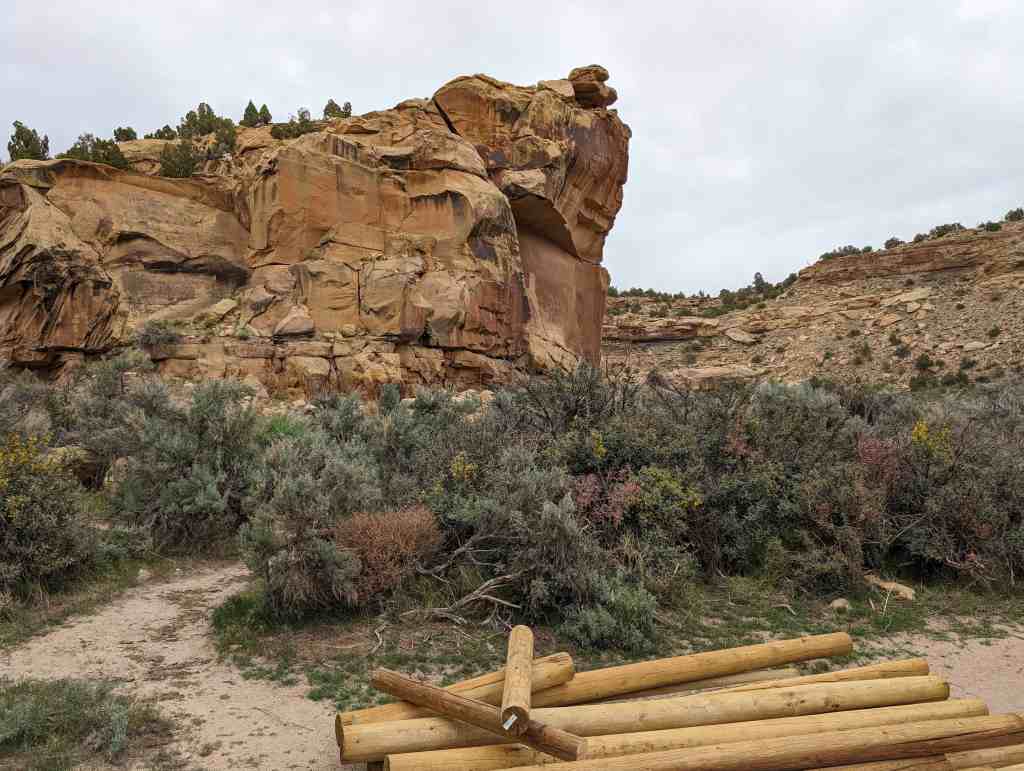
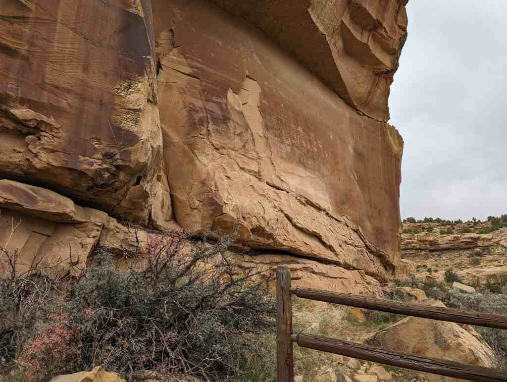
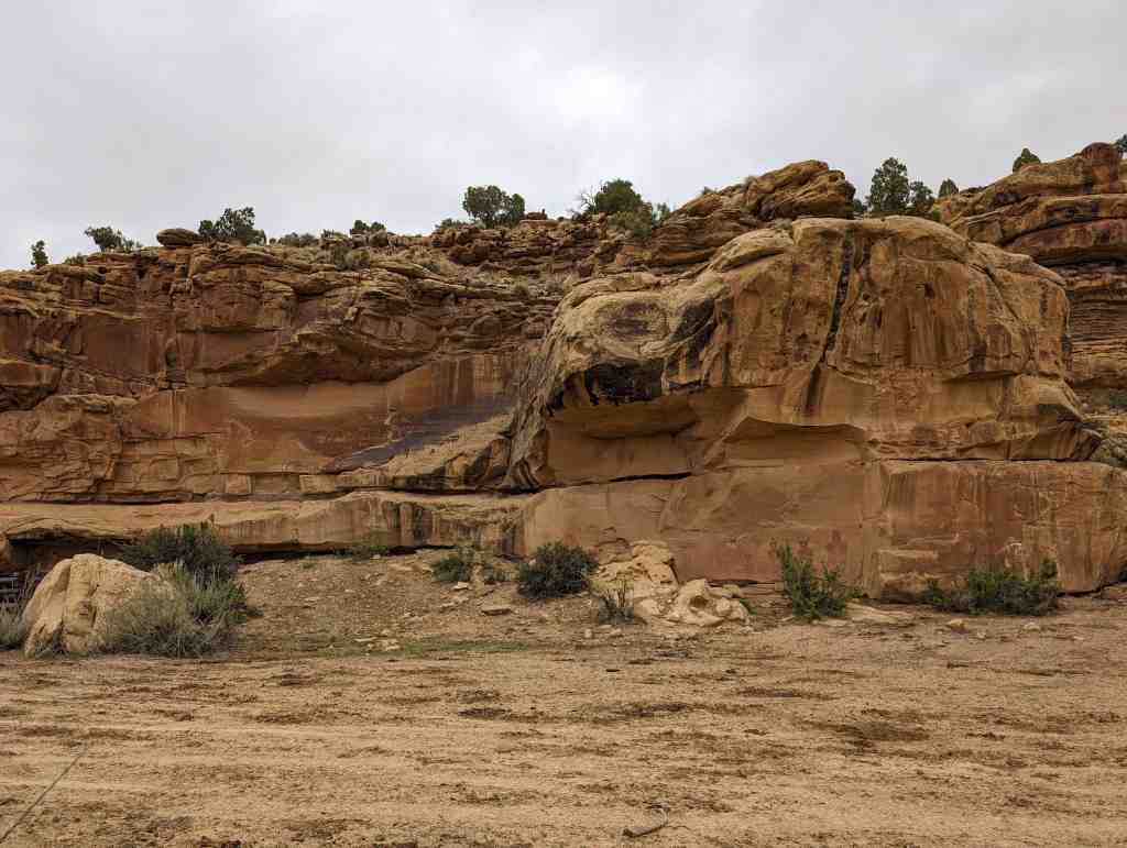
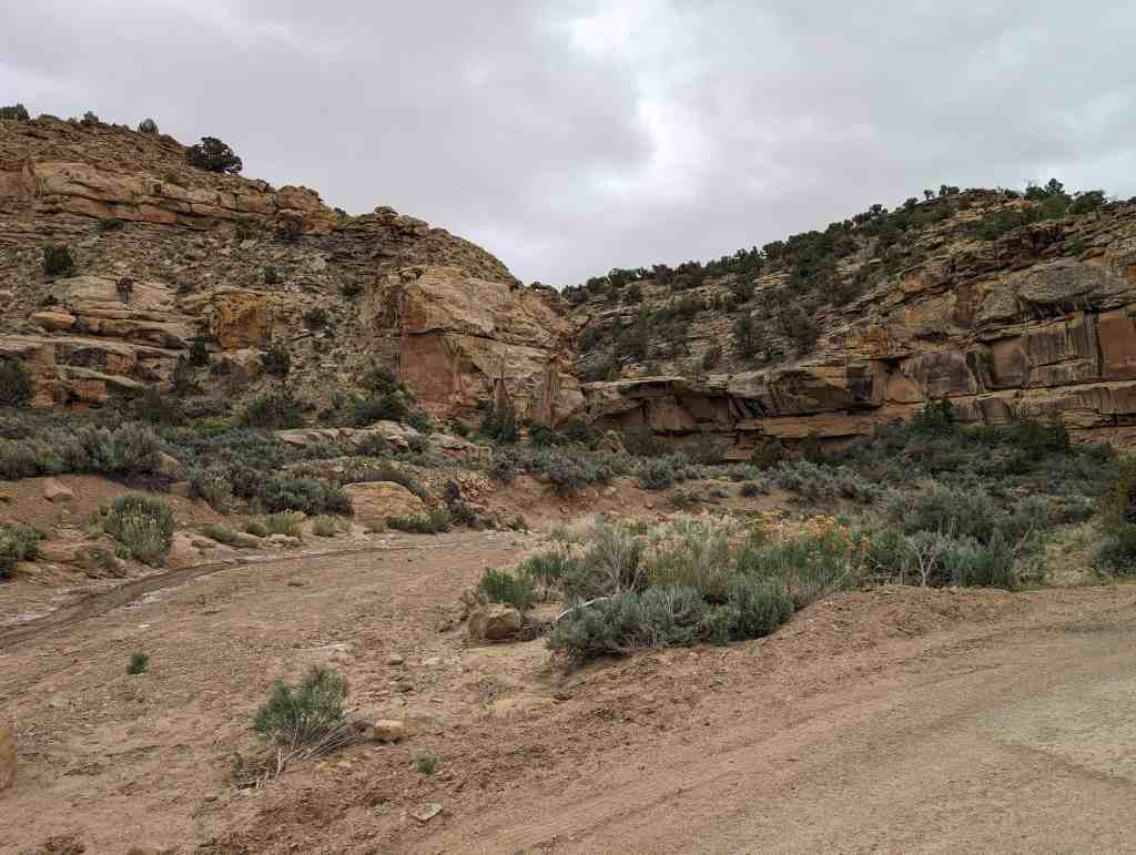
The area surrounding the Johnson Ranch House is an approximately 100-acre gently sloping alluvial plain formed by the local intermittent Rock Creek and Green River below the 700-foothigh sandstone and shale Book Cliffs. The Johnson Ranch, an approximately one-acre fenced site located on the lowest tier of land above the Green River floodplain. In the floodplain are large cottonwood trees, tamarisk, greasewood and other smaller river vegetation. The site has some remaining artifacts of its century-old occupation, although many have been removed by artifact hunters.
The Johnson Ranch House is located along the Green River in Grand County, Utah and was added to the National Register of Historic Places (#100002636) on June 28, 2018.
The Johnson Ranch House, a single-cell random-rubble sandstone and log house located in a remote area of Grand County, Utah, has local significance under Criterion A and C in the context of exploration and economic development in Southeastern Utah during the first decades of the twentieth century. The Johnson Ranch House is a remarkably enduring monument to a period of intense development that changed the people and the land of Southeastern Utah.
Constructed of local sandstone and logs circa 1906 and abandoned before 1916, this house is significant under Criterion A in the area of Social History for its association with the dramatic transformation of the American West between 1870 and 1915, and mostly particularly after the passage of the 1902 National Reclamation Act. The National Reclamation Act allowed the Secretary of the Interior to designate power and irrigation projects and to establish a reclamation fund from the sale of public lands to finance projects in the arid Western United States. The legislation ushered in a period of intense land speculation based on the idea that reclamation projects would be quickly developed and new areas would shortly open to agriculture. The Johnson Ranch House was built during the height of the post-1902 Green River speculative boom and was directly related to both agriculture and a large-scale dam project. Although there is no specific historical documentation of its construction, the Johnson Ranch House was probably built in 1905-06 by members of the Charles Peter Johnson family with the intent to receive a Desert Lands Patent with Green River water and to also serve as a mercantile post for workers on the Coal Creek Buell Dam project several miles up-river. The built traces of that defining but ephemeral boom period have almost all disappeared, making the Johnson Ranch House an even more exceptional and significant local architectural resource.
The Johnson Ranch House is also significant under Criterion C for its unique vernacular randomrubble sandstone and log roof construction. The house is the best preserved and only known remaining late nineteenth- and early-twentieth century vernacular random-rubble sandstone and cottonwood log single-cell structure with integrity in Southeastern Utah. The Johnson Ranch House is also one of only a handful of rock dwellings constructed in the Tavaputs Plateau and along the Green River, all of which were built during the Euro-American settlement and development of the Green River between 1871 and 1915. The Johnson Ranch House retains almost all of its original form, roof and structural system and is a unique and significant local architectural resource.
Social History in Southeastern Utah
The Johnson Ranch House is significant under Criterion A in the area of Social History for its association with the agricultural development of the arid, high desert Book Cliffs region surrounding the Green River. The house is associated with the patterns of development in the Intermountain Region of the American Southwest, including the post-Civil War cattle grazing boom, railroad development, the Homestead and Desert Lands Act, and most importantly, the Reclamation Act of 1902. The Johnson Ranch House was built during the height of the speculative boom caused by the Reclamation Act and was directly related to both agricultural development and large scale dam projects.
The story of this small house begins with the Green River, one of the major features of the Intermountain Region of the Rocky Mountains flowing through Southeastern Utah. The Green River, which gathers runoff from as far north as the Wind River Mountain Range in Northern Wyoming, combines with the Colorado River fifty miles south of the Johnson Ranch House and is one of only a handful of dependable year-round water sources in the region. Although it flows continuously, the Green River was largely uncontrollable, with large annual variations in depth and flow, and traveling through soaring canyons unsuitable for agriculture.
After President Theodore Roosevelt signed the National Reclamation Act in 1902 and set in motion the dramatic transformation of the American West in order to “reclaim” land for productive agricultural use. The Act allowed the Secretary of the Interior to designate power and irrigation projects and to establish a reclamation fund from the sale of public lands to finance the projects and ushered in a period of intense land speculation based on the idea that reclamation projects would be quickly developed and new areas would shortly open to agriculture. Because of its large capacity and soaring canyons, the Green River attracted much speculation and spawned many power and irrigation dam schemes. However, due to its geography, the Green River remains largely the same as it was before any people lived along its banks.
The Green River Buell Dam Site at Coal Creek
Civic leaders and speculators made plans for ever larger dam projects, including a 1904 plan for a 160 foot-high power generating dam and irrigation canal system across the Green River at Coal Creek, 25 miles above the D&RGW Railroad junction and 11.2 miles above the Johnson Ranch House. The plans were put forward by a group of Utah developers including O.S. Buell and engineer William B. Searle, incorporated under the name the Grand Canyon Dam Company. Work began in 1905 to build a road to the Buell dam site, a difficult prospect due to the sheer walls of Gray Canyon which rose just past the Johnson Ranch House. Seasonal construction efforts continued at the dam site for several years, until the 1913 untimely appendicitis death of William B. Searle in New York City as he searched for additional funding for the dam project. The Johnson Ranch House was likely constructed with a dual purpose of as a way station and mercantile operation supplying dam site construction operations homesteading and a location with access to the Green River. Two years after the dam project ended, there are no further records of habitation at the Johnson Ranch, further tying the two ventures together.
Unfortunately the unpredictable water flows, difficult geography and intemperate agricultural climate shortly laid waste to the imaginative plans of all of the developers and opportunity seekers who came to develop the Green River. The 1907 dam created above Green River to irrigate the east side of the Green River washed out in its first year and was maintained for only a few years when it was again washed out by exceptional flooding. The existing small irrigation schemes were not large enough to support the approximately 50,000 planted fruit trees and almost 20,000 died due to lack of available irrigation water. The fruit trees which survived suffered serious frost damage almost every year between 1909 and 1913. The Green River agricultural boom ended before 1915, when it became apparent fruit growing would never be viable in the area and none of the large irrigation schemes had been approved or funded.
Johnson Ranch House History
The Johnson Ranch House was probably constructed in 1905-06, by members of the Charles Peter Johnson family to serve as a way station and mercantile post for workers on the Coal Creek Buell Dam project several miles up-river. The ranch house is located 14 miles above the nearest town and 11 miles below the Buell Dam site at Coal Creek, a mid-point for freight and horse travel along the Green River to the dam site. The Johnson Ranch House may have also been constructed to secure a Desert Lands Patent application for land and water rights from the Green River, although the Power Site easement in 1909 removed the opportunity for land patents along the Green River and no patents were ever approved for the site.
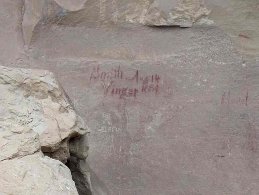
Green River explorers, surveyors, and local government entities identify the single-cell stone house as the Johnson Ranch House in contemporary newspaper accounts, maps and diaries. When Ed F. Harmston, civil engineer and founder of Roosevelt, Utah, surveyed the Green River in the summer of 1913 to determine if a railroad could be completed between the Roosevelt, Utah in the Uintah Basin and Green River, Utah, he outlined his visit to the Johnson Ranch House in a trip chronicle published October 17, 1913 in the Vernal Express Newspaper:
Johnson’s ranch 14 miles above Elgin, at this point we leave our horses and are provided with a team and white top spring wagon to complete our journey with; here we are able to buy water melons (sic), raised by irrigation from a gasoline pumping plant, and fresh eggs for our table.
The Harmston diary account matches the memories of long-time resident on the west side of the Green River above Green River, Utah, Dudley Swasey, who identified the owner of the house as “A Jackson Hole, Wyoming guy who bought horses lived there. He had gear hanging behind cabin, but he didn’t build the cabin”.19 The 1922 Utah Power & Light Survey of the Green River survey map specifically identifies the Johnson Ranch House at mile 174.2 and Elgin at mile 184.6 as they surveyed the River from its origin to the rail junction at Green River. H.J. Stoner, a member of the exploration and survey team outlines their visit to the Johnson Ranch House on September 13, 1922.
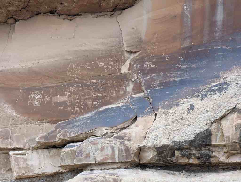
Although Johnson family records don’t indicate who lived in and operated the ranch, it is likely that it was run by Peter Johnson, in conjunction with Lawrence and Oscar Johnson, all sons of Charles Peter Johnson. Peter Johnson owned property in nearby Elgin, Utah and had his tax notices delivered to the Johnson Ranch, as well as Shoshone, Idaho where Charles Peter Johnson and two other sons were located in the 1910 census. Oscar Johnson was single at the time, and what were likely his 1913 initials were located in a recent archaeological survey of the area.
With the end of construction on the Coal Creek Buell Dam Site in 1913, the economic reason for the Johnson Ranch House disappeared and the house had already been abandoned when Government Land Office surveyor George Kirkpatrick traveled up the Green River in 1916 and commented on the irrigation ditches. In 1922, when Utah Power and Light and the U.S. Geological Survey traveled from Green River, Wyoming to Green River, Utah surveying possible dam sites, the Johnson Ranch was also deserted, according to H.J. Stoner’s diary entry for September 13, 1922.24 The Johnson Ranch location is identified by name and location on the Utah Power & Light Green River Profile and Cross-Sections Split Mountain Damsite to D&RGRR (Elgin) Map published December 26, 1922.
After the Johnson family left the house, it was utilized by federal land employees and sheep herders with range permits in the area. The house was identified on an undated U.S. Grazing Service map created between 1939 and 1946 and it was specifically requested to be leased, lived in and improved by sheepherder Florenz Aubert in 1939. The lease application was never formally approved, but the land surrounding the Johnson Ranch House continued to be used for accessing the Green River and cattle and sheep grazing. The Bureau of Land Management application history notes that Dahl Aubert, grandson to Florenz Aubert, still ran cattle in the same area in 2001. The Johnson Ranch House has remained largely empty ever since 1915, but the arid climate, lack of water and development have allowed the house to remain largely unchanged since that time, an enduring testament to a brief moment in Green River history.
Charles Peter Johnson History
Charles Peter Johnson was born July 4, 1846 in Bornholm, Denmark and immigrated to the United States in 1868 after joining the Church of Jesus Christ of Latter-day Saints (LDS) in his native Denmark. Charles Peter married Annie Christoffersen, another Danish LDS immigrant who had arrived in the United States in 1858, and then on November 21, 1870 in Salt Lake City, Utah. After their wedding, Charles and Annie moved to the Utah Scandinavian enclave of Spring City, Utah and lived there until 1882 when called by LDS Church authorities to move to Price, Carbon County, Utah to create an LDS colony. During his time in Spring City and Price, Johnson was a store owner, blacksmith, house builder, farmer, cattle and sheep rancher, and saw mill operator. He and Annie had eleven children in Spring City and Price, nine of which survived to adulthood. In March of 1900, Johnson sold his property in Price, purchased 100 acres from prominent local Green River farmer J.T. Farrer for $10 per acre and homesteaded an additional 80 acre parcel along the Green River. By 1906, Charles Peter Johnson owned 368 acres on the west side of the Green River, near Elgin and the D&RGW Railroad junction.
Charles Peter Johnson and his sons were a key component in the agricultural boom which occurred in Green River and Elgin. In early March of 1906 Charles Peter Johnson was elected president of the Canal Company and also as superintendent of the canal and dam. Just one week later, he sold his 368 acres for $100 per acre to eastern land speculators who incorporated the Green River Land and Livestock Company and began to widely market home and farm sites.31 After the sale, Charles Peter Johnson and his grown sons looked at purchasing a general store and 400 acres of land in nearby Ferron, Emery County, Utah. According to local newspaper accounts, the Johnson family intended to engage in the mercantile and cattle and dairy business. Charles Peter Johnson paid a deposit on the property, but soon defaulted, causing the property owner to sue the Johnson family. Additionally, heavy snowfall and spring runoff caused the Green River Canal Company irrigation reservoir and canals to wash out again later that spring of 1906, harming local farmers. Charles Peter Johnson and two sons, Louis and Niels, moved to Shoshone, Lincoln County, Idaho and purchased and homesteaded property and began farming and cattle ranching operations, which they would continue until the recession following World War I, when the family scattered and moved back to various places in Utah. Charles Peter Johnson passed away April 30, 1930 in Provo, Utah.
Architecture
The Johnson Ranch House is a single-cell random-rubble sandstone house located near Hastings Road along the east bank of the Green River 21 miles northwest of Crescent Junction, Grand County, Utah. The house is the only known standing and best preserved early 20th century singlecell stone dwelling remaining in Southeastern Utah. The Johnson Ranch House is also one of only a handful of rock dwellings constructed in the Tavaputs Plateau and along the Green River, all of which were built during the Euro-American development of the Green River between 1871 and 1915. The house retains almost all of its original form, roof and structural system and is a unique and significant local architectural resource.
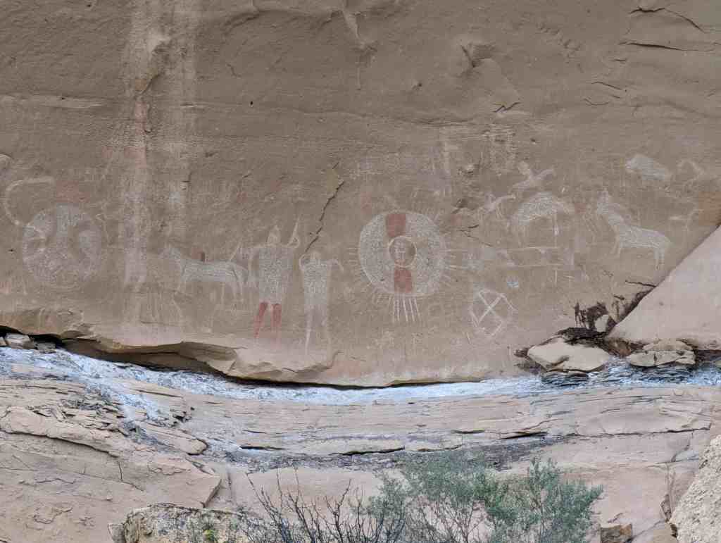
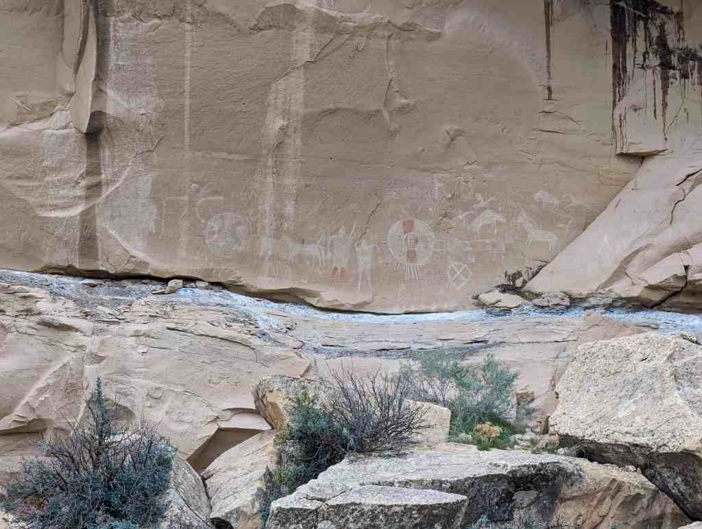
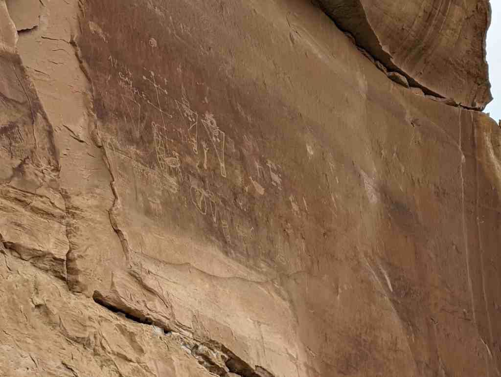
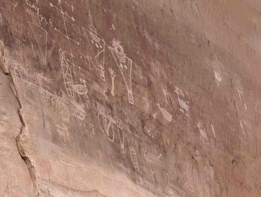
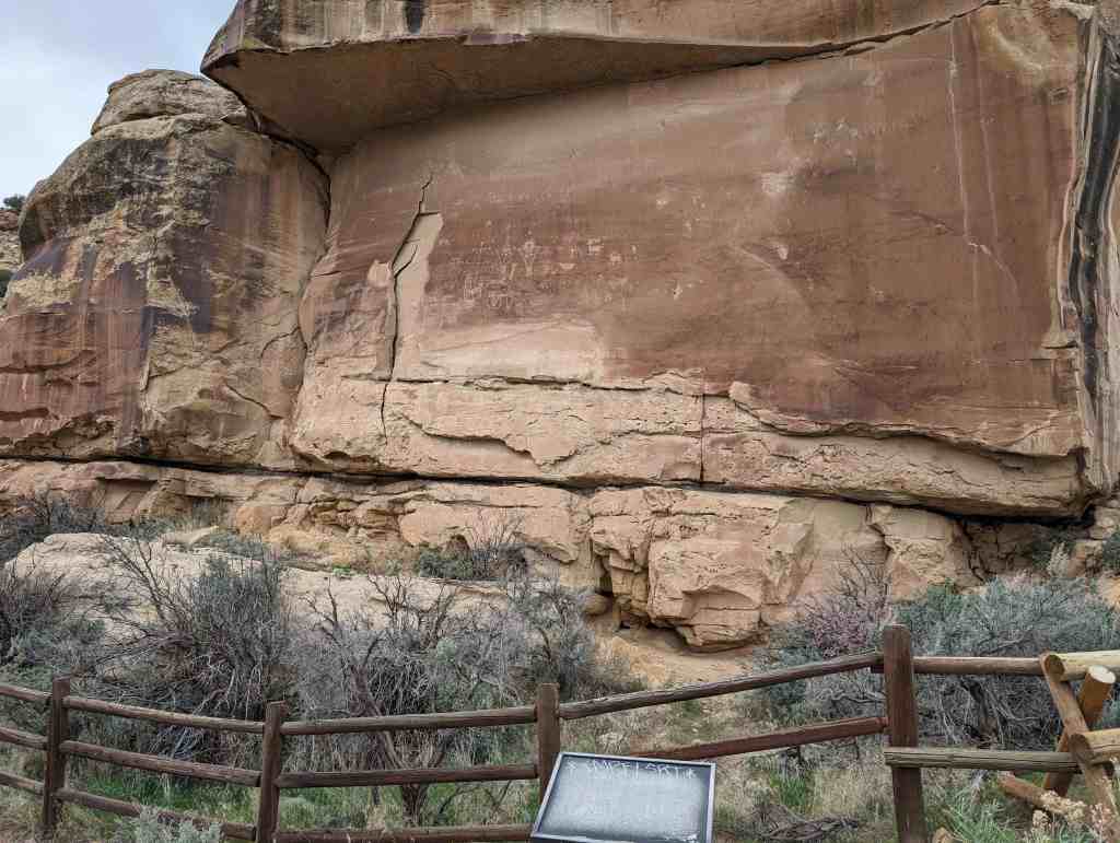
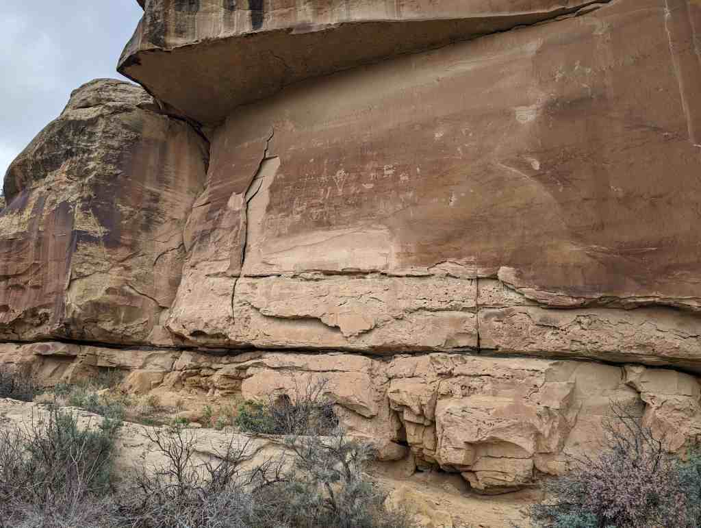
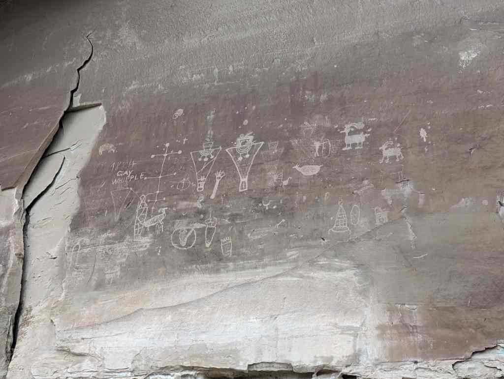
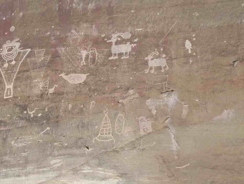
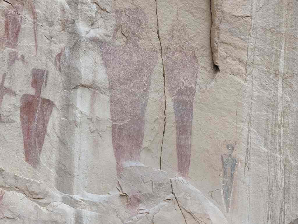
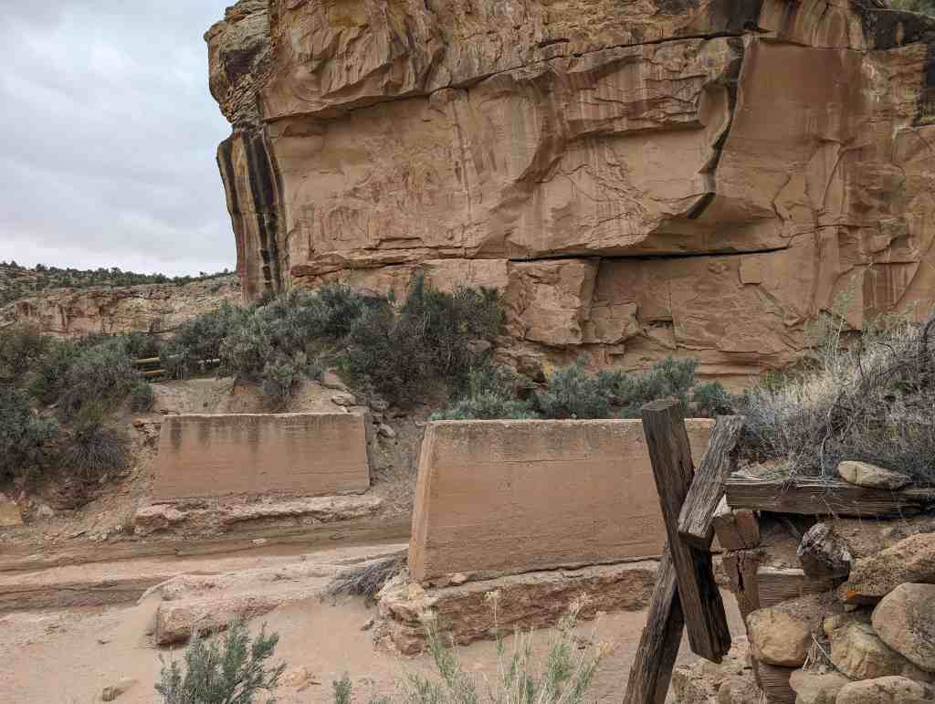
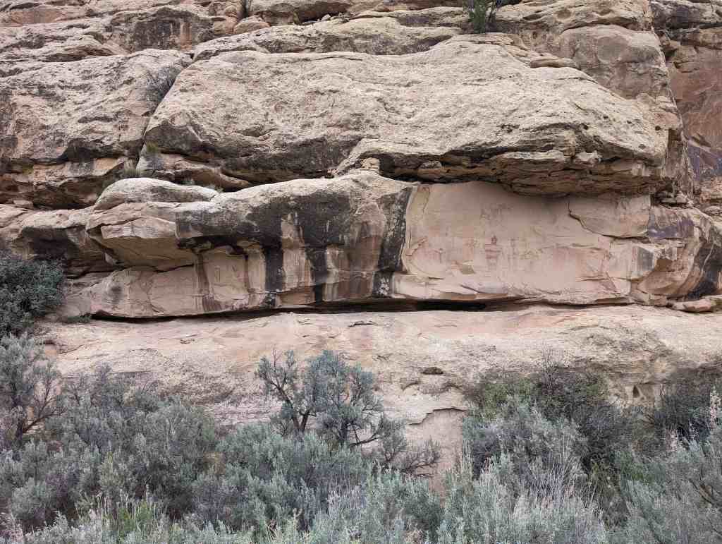
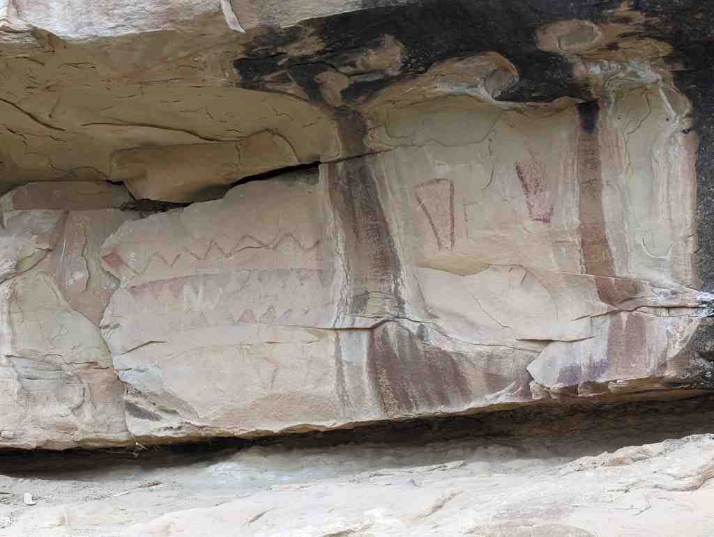
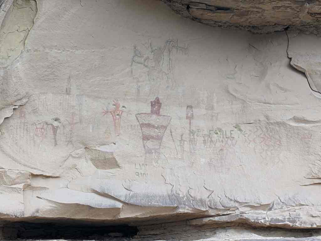
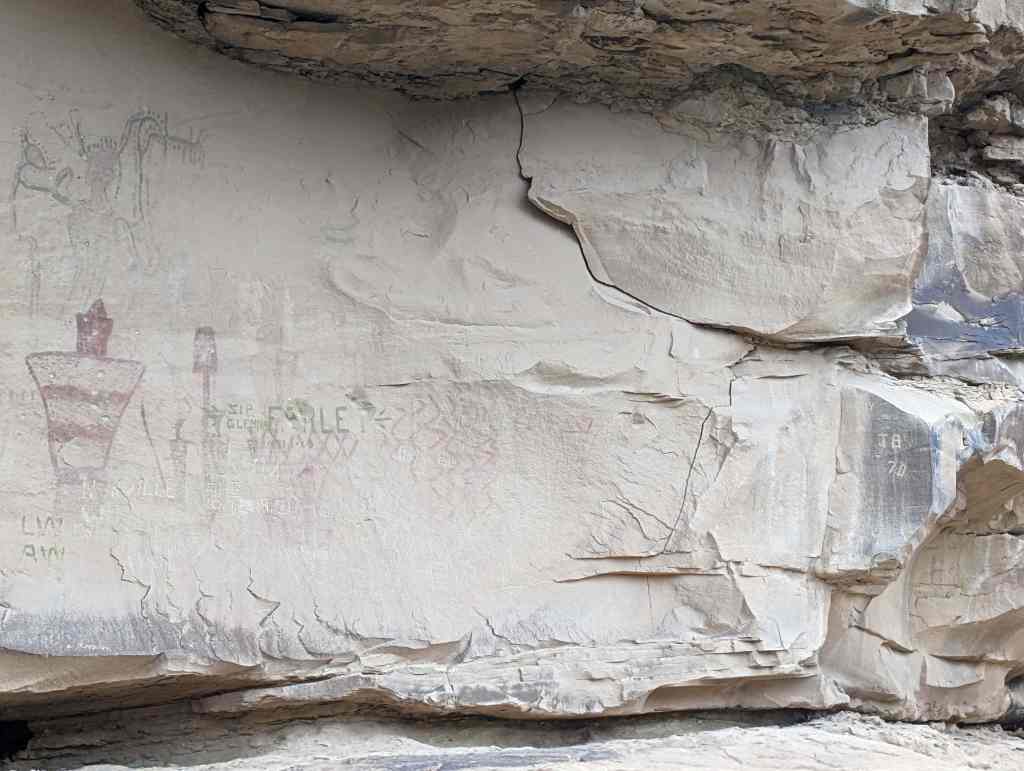
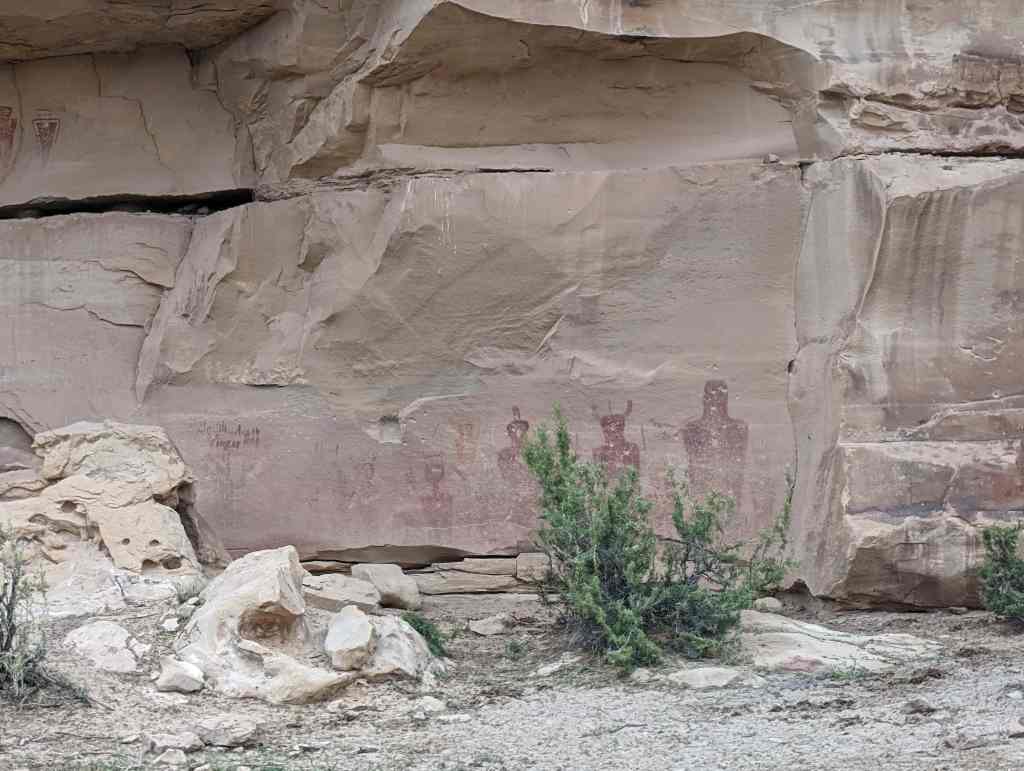
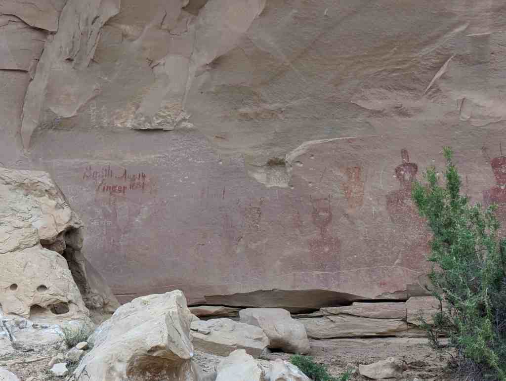
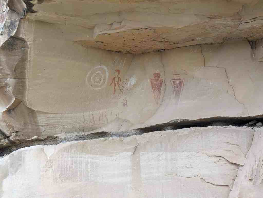
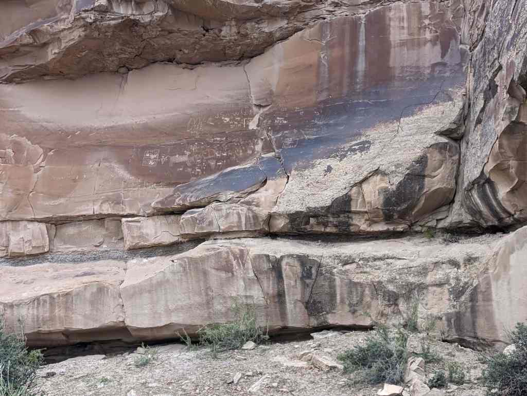
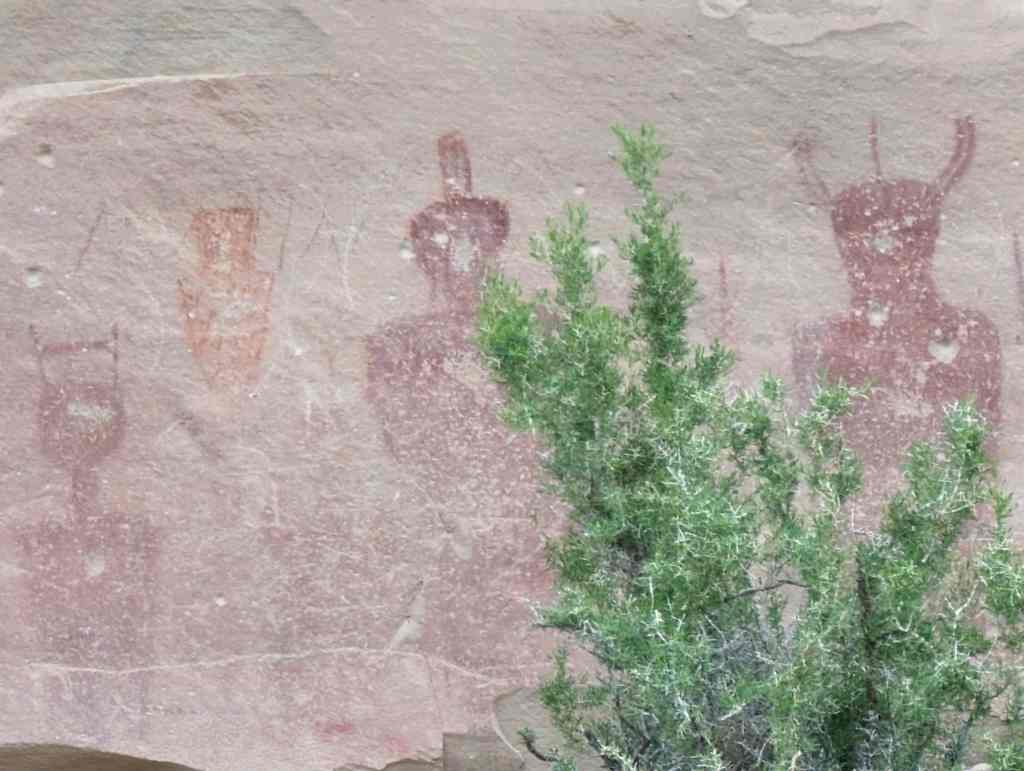
Prehistoric stone construction was common in the Book Cliffs region of Southeastern Utah prior to Euro-American settlement in the mid-nineteenth century. Archaic, Fremont and early Ute culture sandstone and wood-roofed granaries, houses, pits and cists dotted the landscape throughout Southeastern Utah. Early Euro-American settlers would have been exposed to the stone and small-log construction methods of Native American people, ruins of which still remain. Stone construction was much more difficult and time consuming than wood construction, however the high-desert climate of the region, with its low precipitation, extreme temperature variations, lack of available timber stands and large amounts of available sandstone rubble made the construction technique one of the most viable construction methods for longterm shelter in this remote area until to the introduction of the automobile. The small amount of available water required ranches and farms to be widely distributed and the soaring cliffs and rough terrain limited road access to individual ranches located in canyons throughout the Book Cliffs. Surveys and 1930s Colorado River litigation documents identified only five ranches along Green River in the Desolation and Gray Canyon area.
The Johnson Ranch House is unique and significant due to its excellent physical integrity. The house is the only known example of random-rubble sandstone and log single-cell construction with integrity remaining in the region. There are ruins of five similar single-cell houses located in Southeastern Utah, none of which have structural integrity or roof structures. The area’s public land ownership, limited road accessibility and remoteness have contributed to its preservation. Although it was abandoned by its dedicated inhabitants prior to 1916, the structure was maintained both by the Bureau of Land Management and its predecessor U.S. Grazing Service for grazing enforcement and land management. The Johnson Ranch House was also maintained by sheep-grazing permittee Florenz Aubert and his descendants who used it between the 1930s and the 2000s, using it for sheep shearing and summer range access. The Johnson Ranch House is currently accessed by a rough dirt road which allows river-runners access to short day trips down the Green River, but no other features. Historically the site would have been the last automobile access point for horseback forays into the extensive summer grazing areas up the 700-foot high bluffs east of the Green River. Geography and lack of paved road past the Johnson Ranch House have allowed it to be maintained and also to avoid both vandalism and development.
Two related but larger random-rubble sandstone structures are located at the Buell dam site fourteen miles above the Johnson Ranch House. One structure is a large stone building with two doors and two windows on the front façade, probably used as a bunkhouse. The other structure is a dugout with no windows and a single door located on the gable end. Both structures feature similar large-block coursed-rubble corners with random-rubble infill, soft mortar and large cottonwood log beams. However, these were commercial structures for Buell Dam project employees or storage rather than single family habitation and neither structure has identical construction characteristics to the Johnson Ranch House.
Ruins of only five known documented late-19th and early 20th century random-rubble single-cell structures have been located in other remote canyons of Southeastern Utah. None of these structures have integrity and two are rubble piles with no standing walls. These are located at Nine Mile Canyon and Price Canyon west of the Green River, Saleratus Canyon east of the Green River in the Book Cliffs, Starr Ranch in the Henry Mountains, the Stone Cabin in Arches National Park southeast of Moab, Utah. There are also two coursed-ashlar sandstone cabins located at Florence Creek related to the McPherson family and at Rock Creek related to the Seamount family and a coursed-ashlar magma ranch house at the Starr Ranch near Escalante. These three structures are larger, multiple-bay structures with good wall integrity due to their cut stone façades but no remaining roofs. Although there have been archaeological surveys through parts of this enormous and largely uninhabited area, it is possible that there are other vernacular stone structures which have not been identified.
Summary
The Johnson Ranch House has local significance under Criterion A and C in the context exploration and economic development in Southeastern Utah during the first decades of the twentieth century. Constructed of local sandstone and logs circa 1906 and abandoned before 1916, this house is significant under Criterion A in the area of Social History for its association with the dramatic transformation of the American West between 1870 and 1915, and most particularly after the passage of the 1902 National Reclamation Act. The Johnson Ranch House was built during the height of the post-1902 Green River speculative boom and was directly related to both agriculture and a large scale dam project. The built traces of that defining but ephemeral boom period have almost all disappeared, making the Johnson Ranch House an even more exceptional and significant local architectural resource. The Johnson Ranch House is also significant under Criterion C for its exceptionally unique single-cell random-rubble sandstone and log roof construction. The house is the best preserved and only known remaining late nineteenth- and early-twentieth century vernacular single-cell random-rubble sandstone and cottonwood log with integrity remaining in Southeastern Utah. The Johnson Ranch House is also one of only a handful of rock dwellings constructed in Southeastern Utah, all of which were built during the development of the Green River between 1871 and 1915. The Johnson Ranch House retains almost all of its original form, roof and structural system and is a unique and significant local architectural resource.