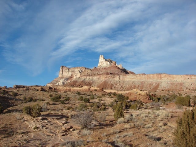
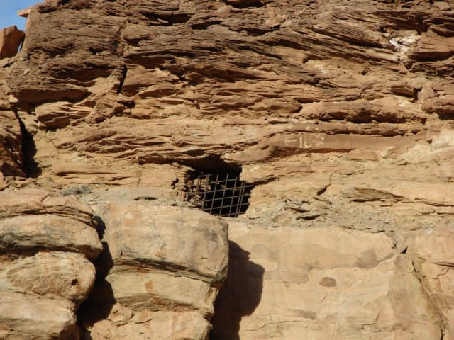
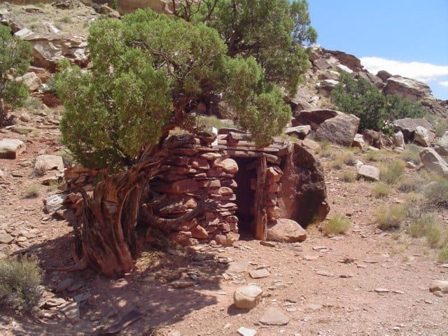
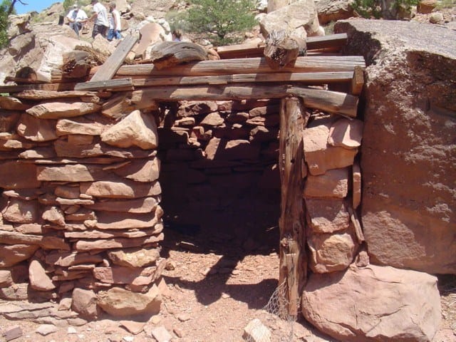
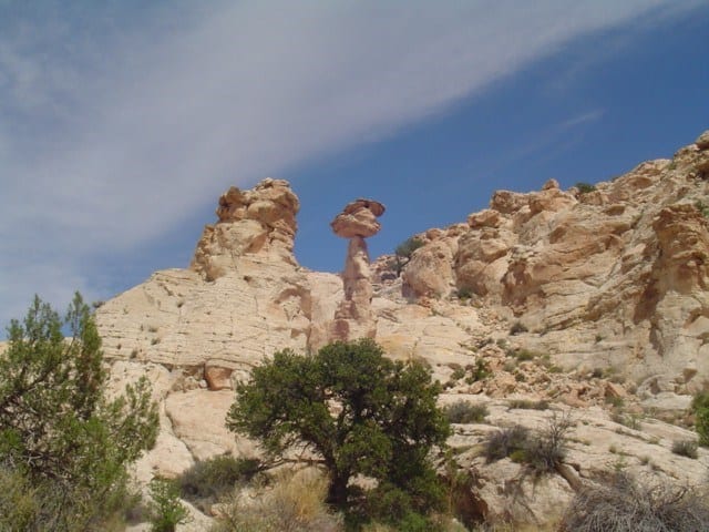
The Big Westwater Ruin is an ancient Ancestral Puebloan Native American cliff dwelling in Westwater Canyon in southeastern Utah. It was abandoned about 800 years ago.*
Located in San Juan County, Utah, the Big Westwater Ruin was added to the National Register of Historic Places (#80003938) on July 16, 1980.
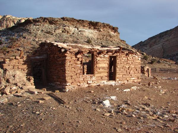
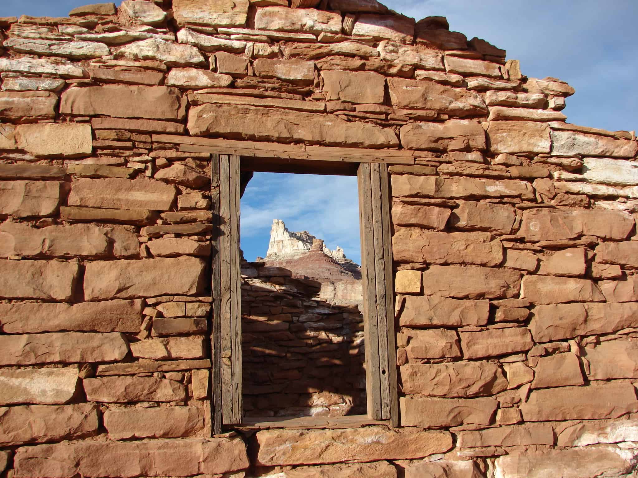
Poncho House Ruins. One of the fine, large pre-historic ruins of the Southwest, occupied and built during about the 12th century and set in a great horseshoe bend of Chinle Wash, near the Arizona-Utah border.*
Poncho House was added to the National Register of Historic Places (#75001821) on October 10, 1975.
Edge of the Cedars Pueblo is the largest easily accessible ruin containing stratigraphic structures dating between about 800 and 1150 A.D., in San Juan County, Utah. This site has produced the only reported copper artifact dating from aboriginal times found in the state of Utah. This artifact, a small bell, was probably traded into the area from the HoHokam culture in the Gila-Salt River drainage areas of Arizona, and may have reached there from Mexico.
The site’s numerous Kivas or ceremonial chambers including one in the neighborhood of 40-45 feet in diameter also argue for a role as a regional ceremonial center. No such site has ever been fully and systematically excavated and restored in Utah. It should be preserved because it combines unique scientific value with a ready accessibility to the public, and represents one of few apartment-like houses existing on the high plateau areas, where most of the aboriginal people lived.
Edge of Cedars Indian Ruin is located at Blanding, Utah in San Juan County and is part of the Edge of the Cedars State Park Museum, it was added to the National Historic Register (#71000853) on August 12, 1971.
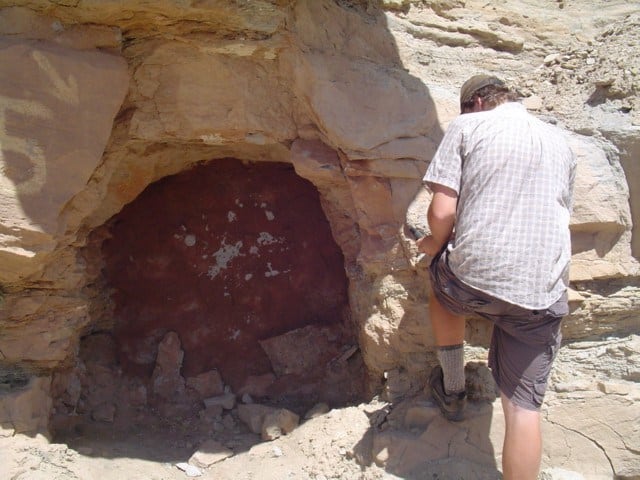
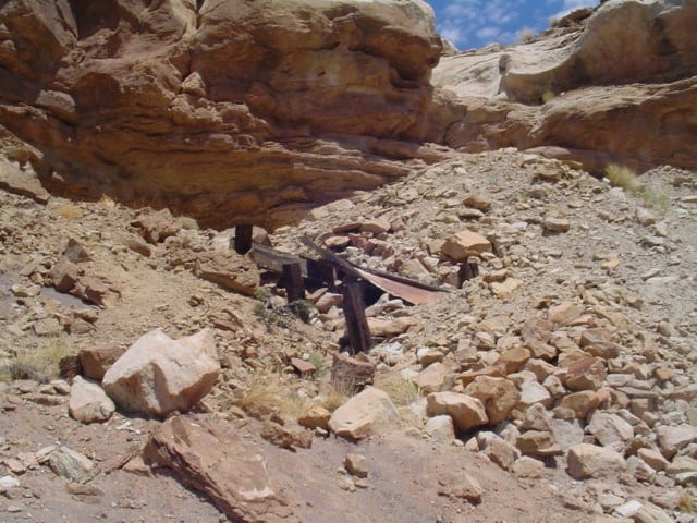
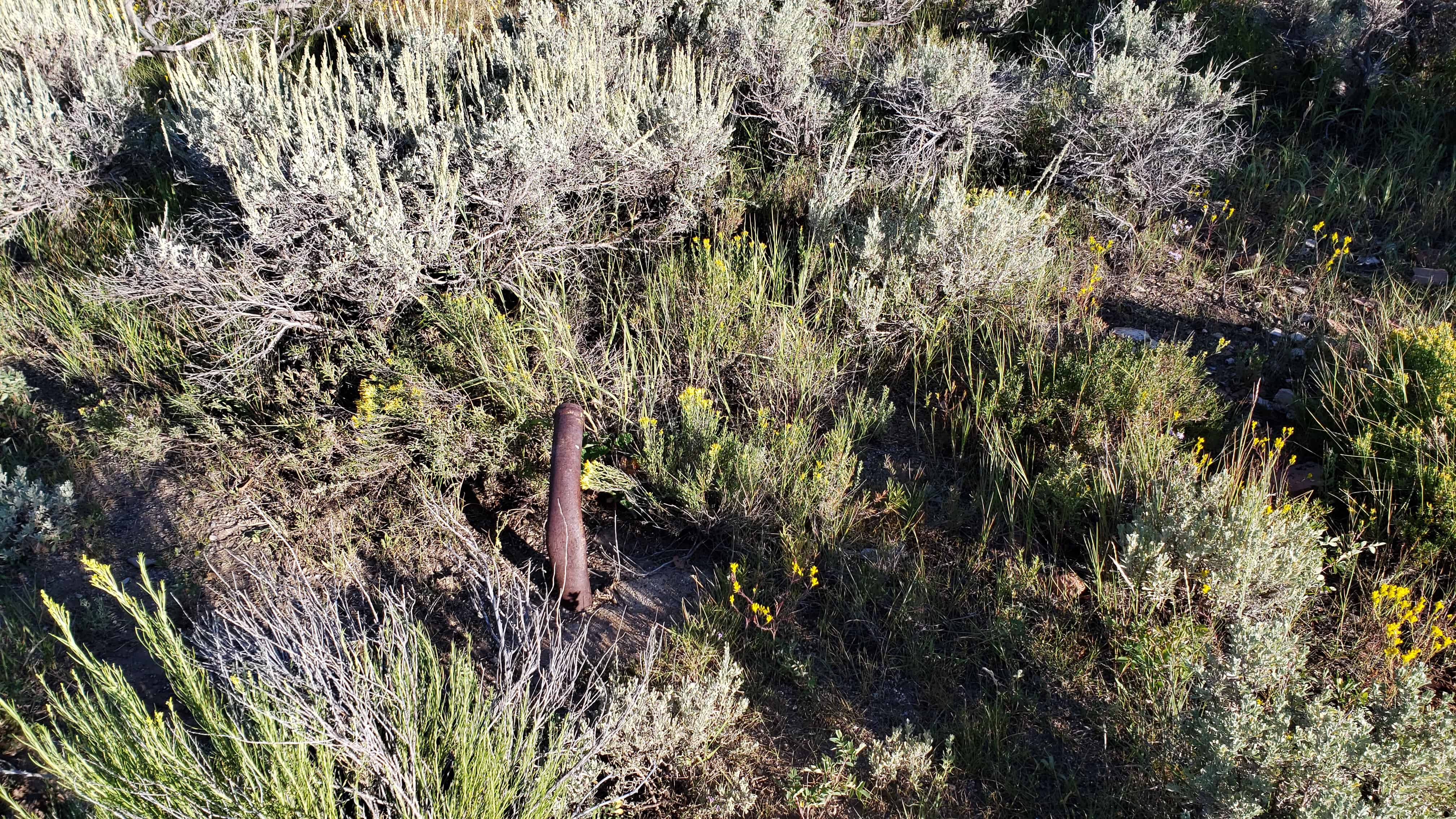
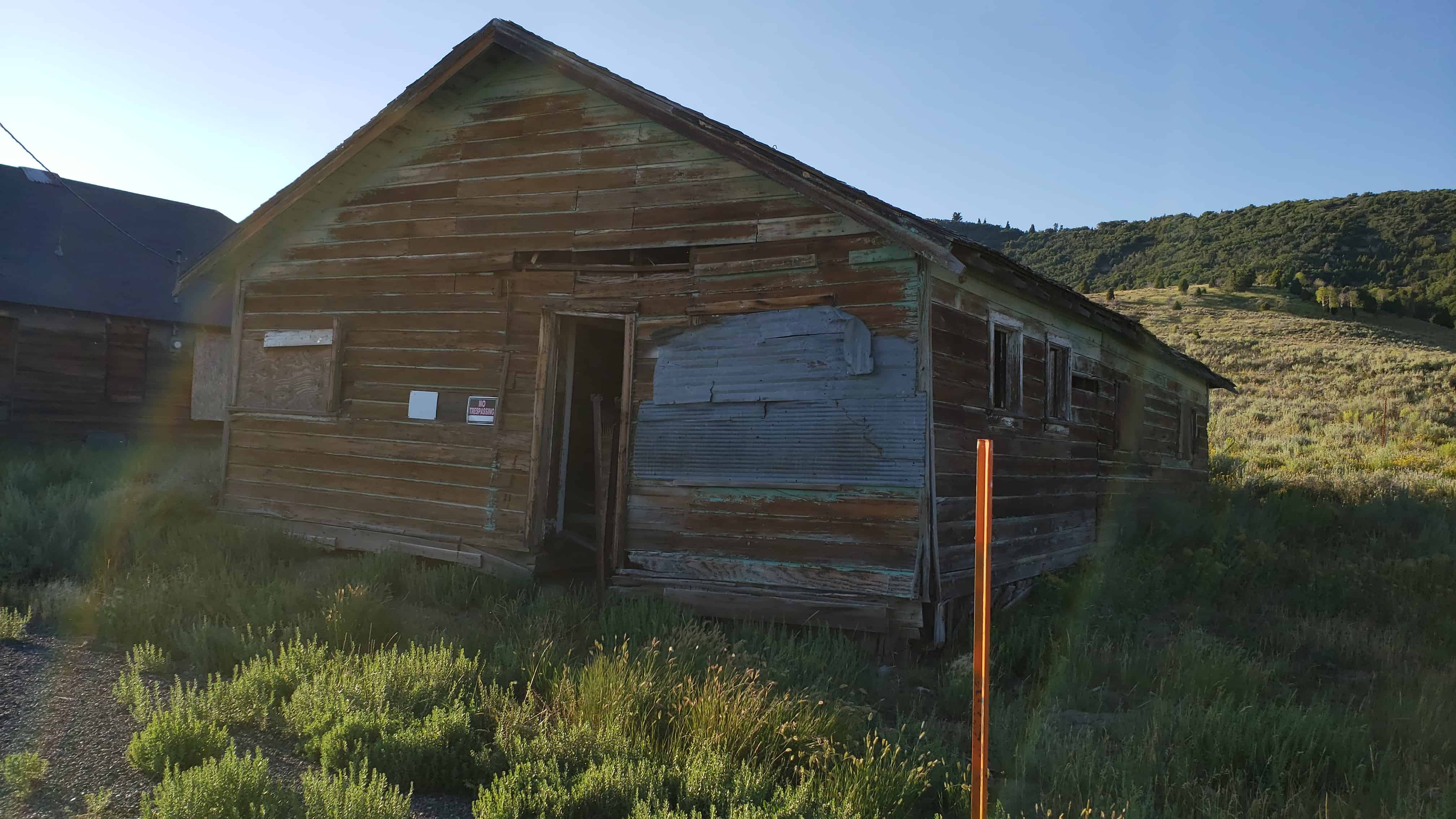
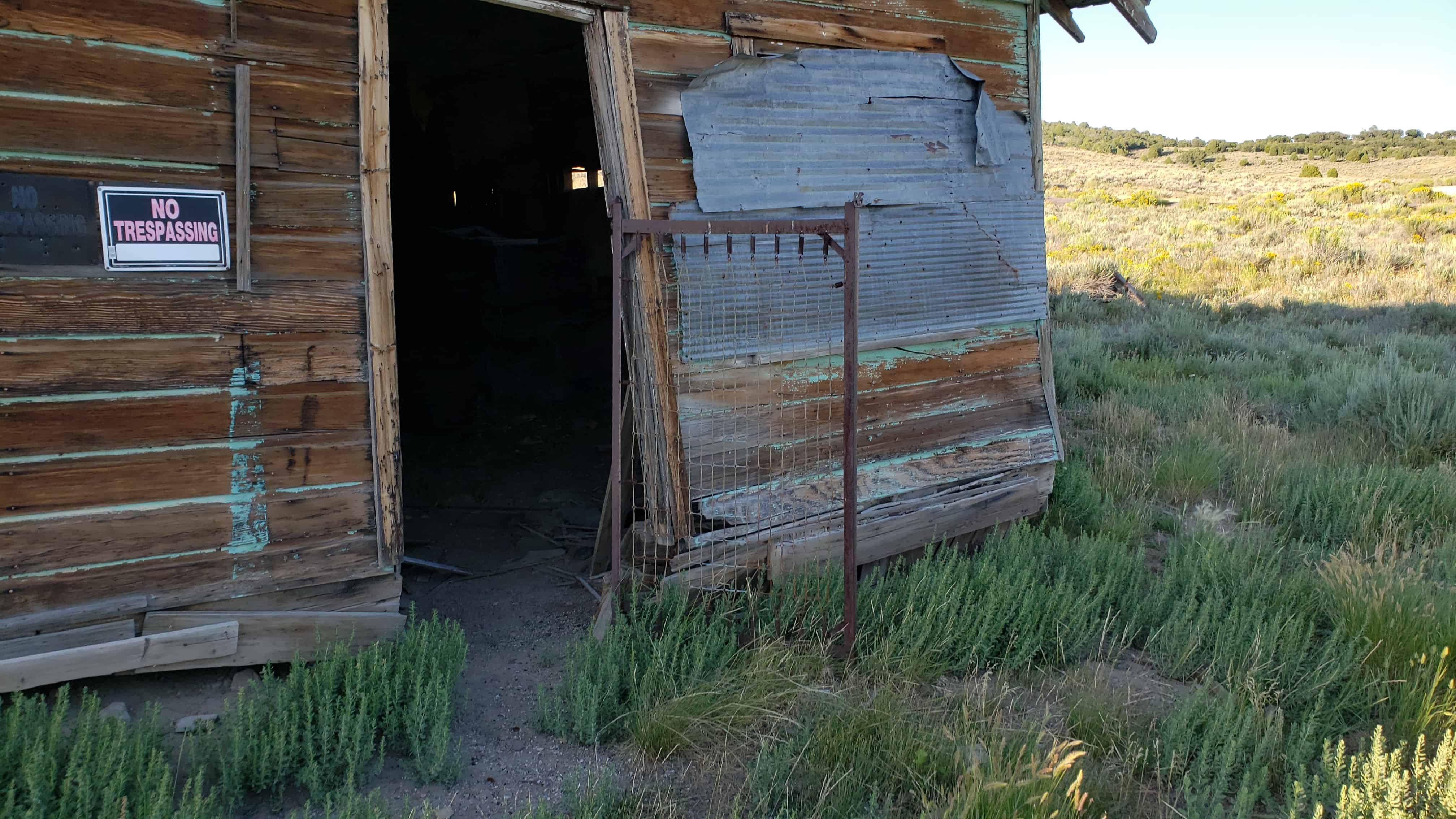
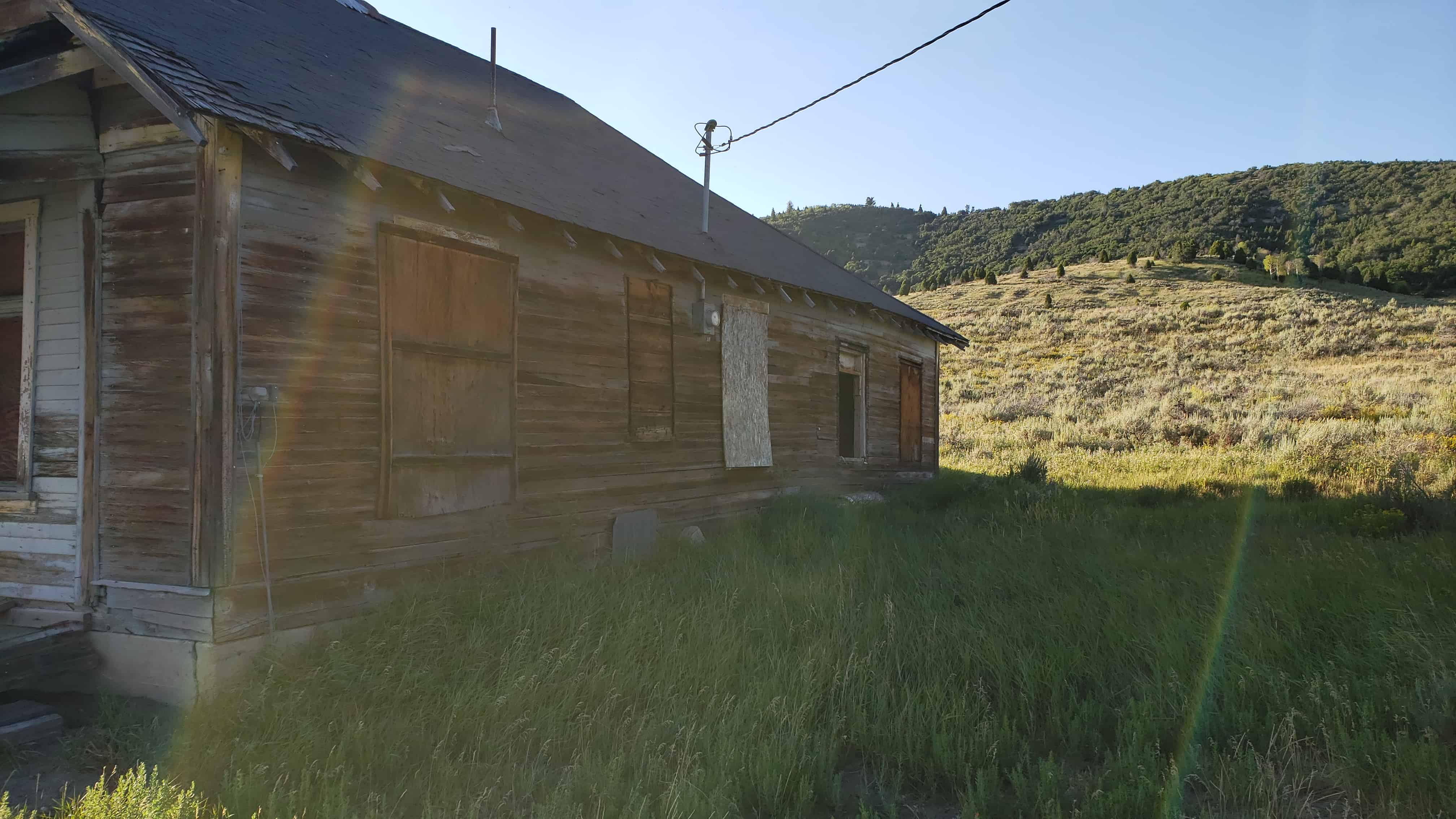
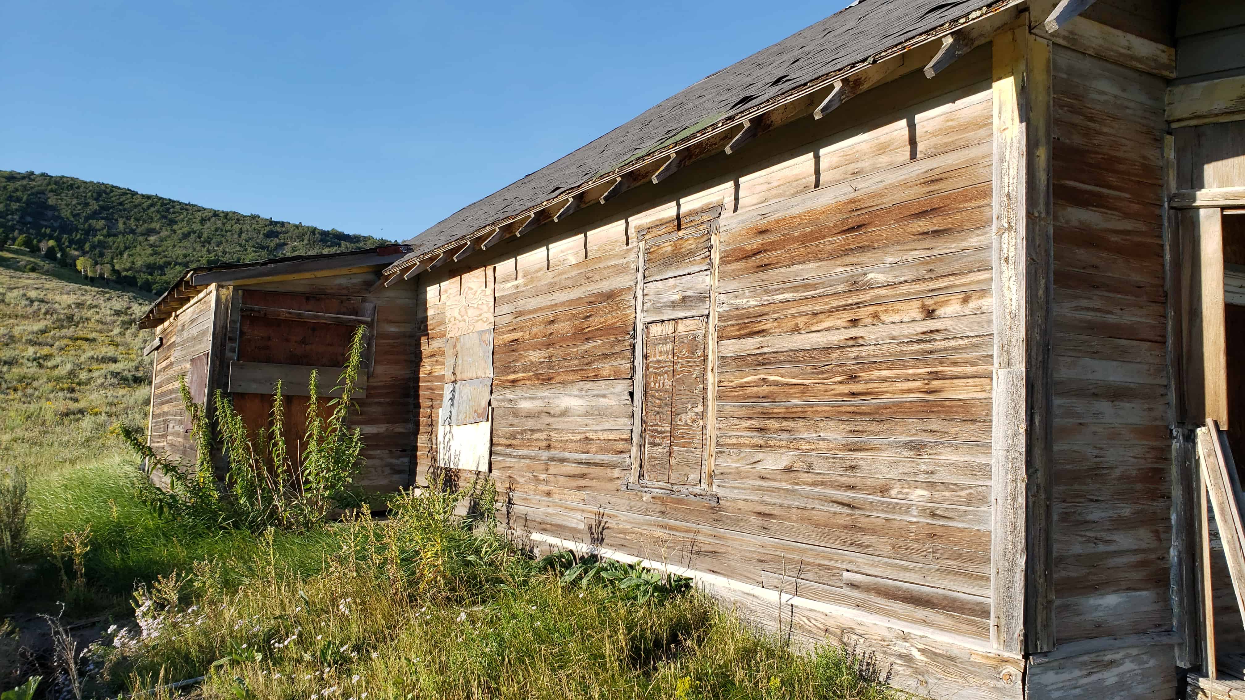
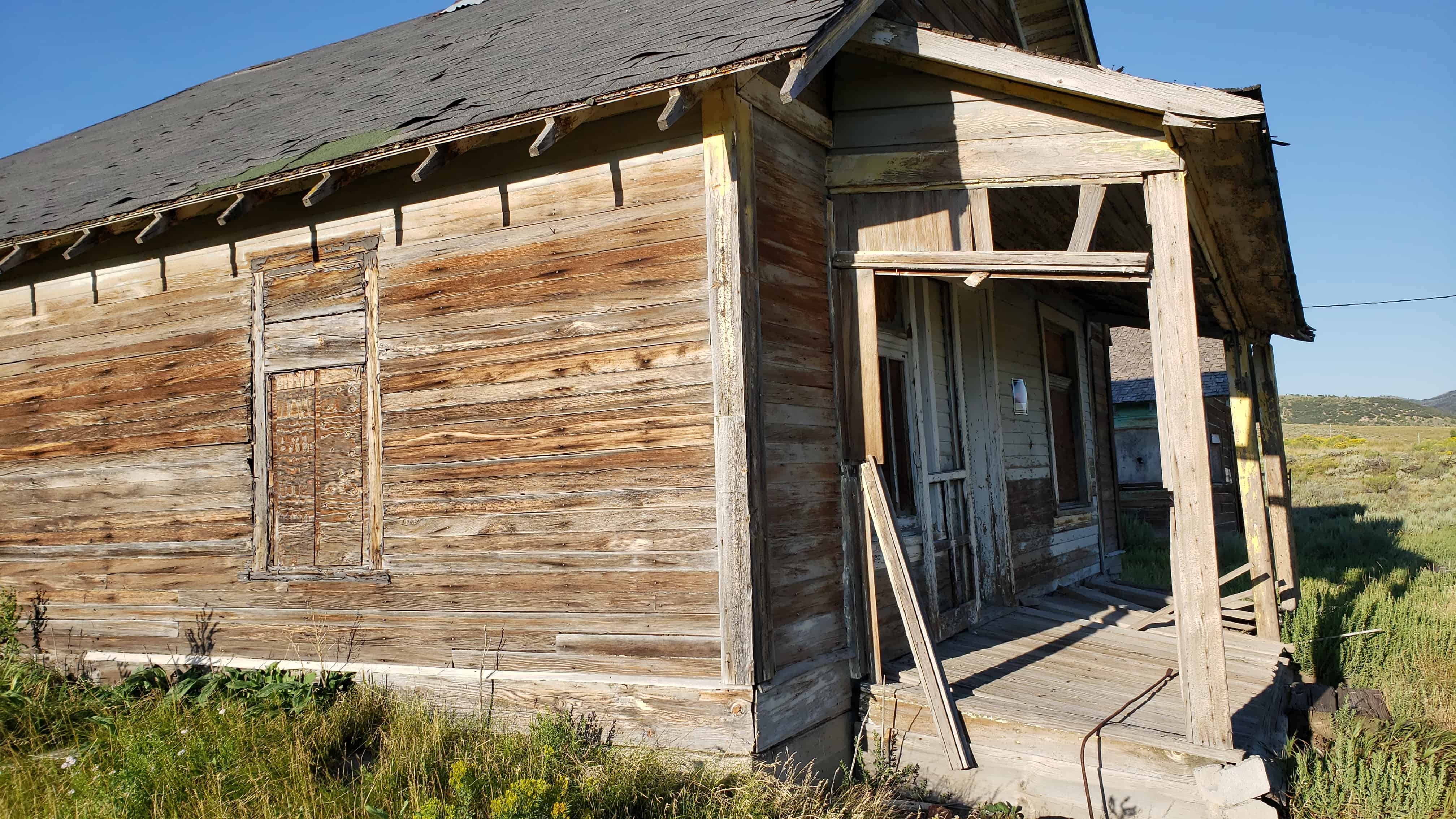
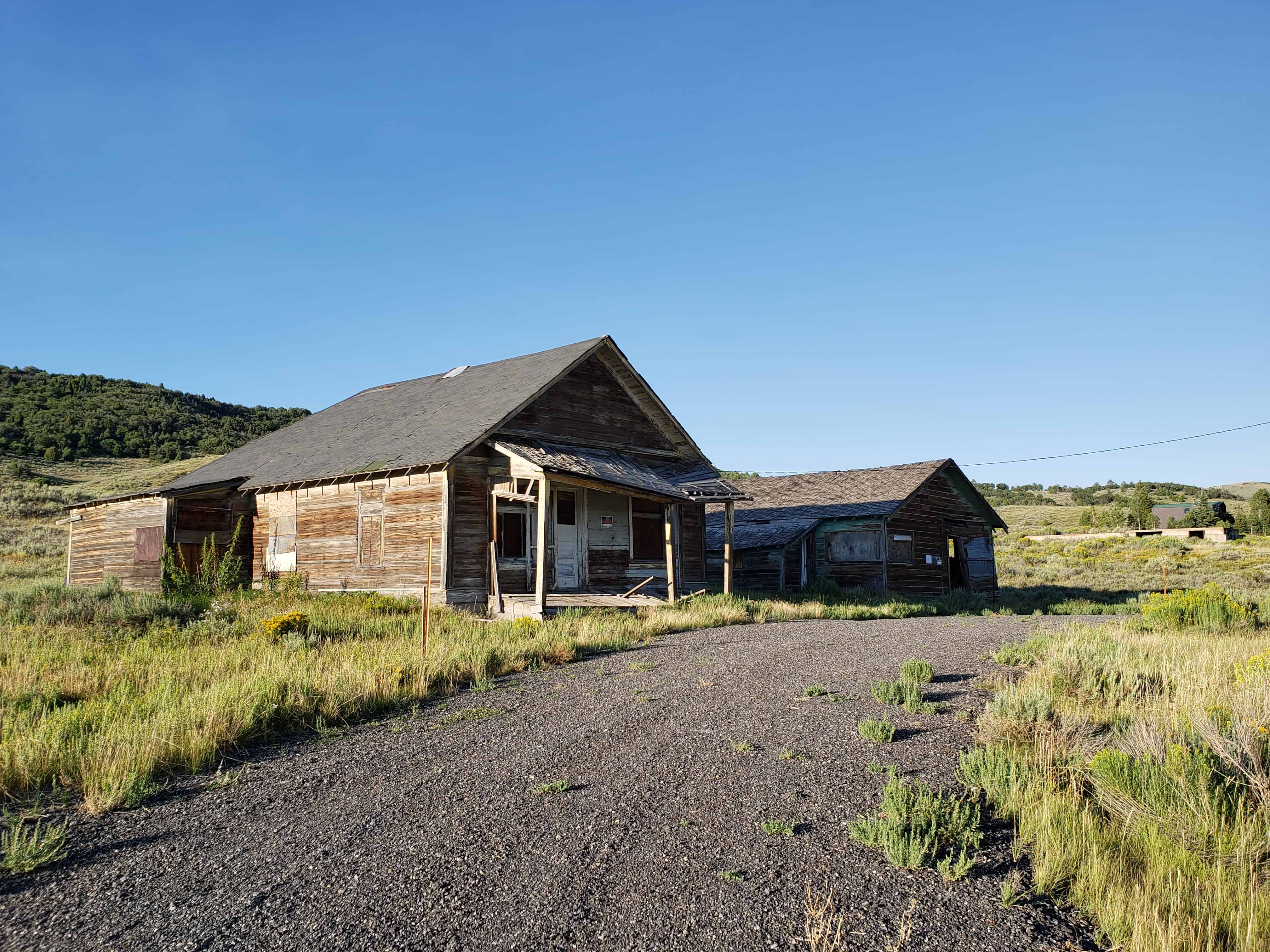
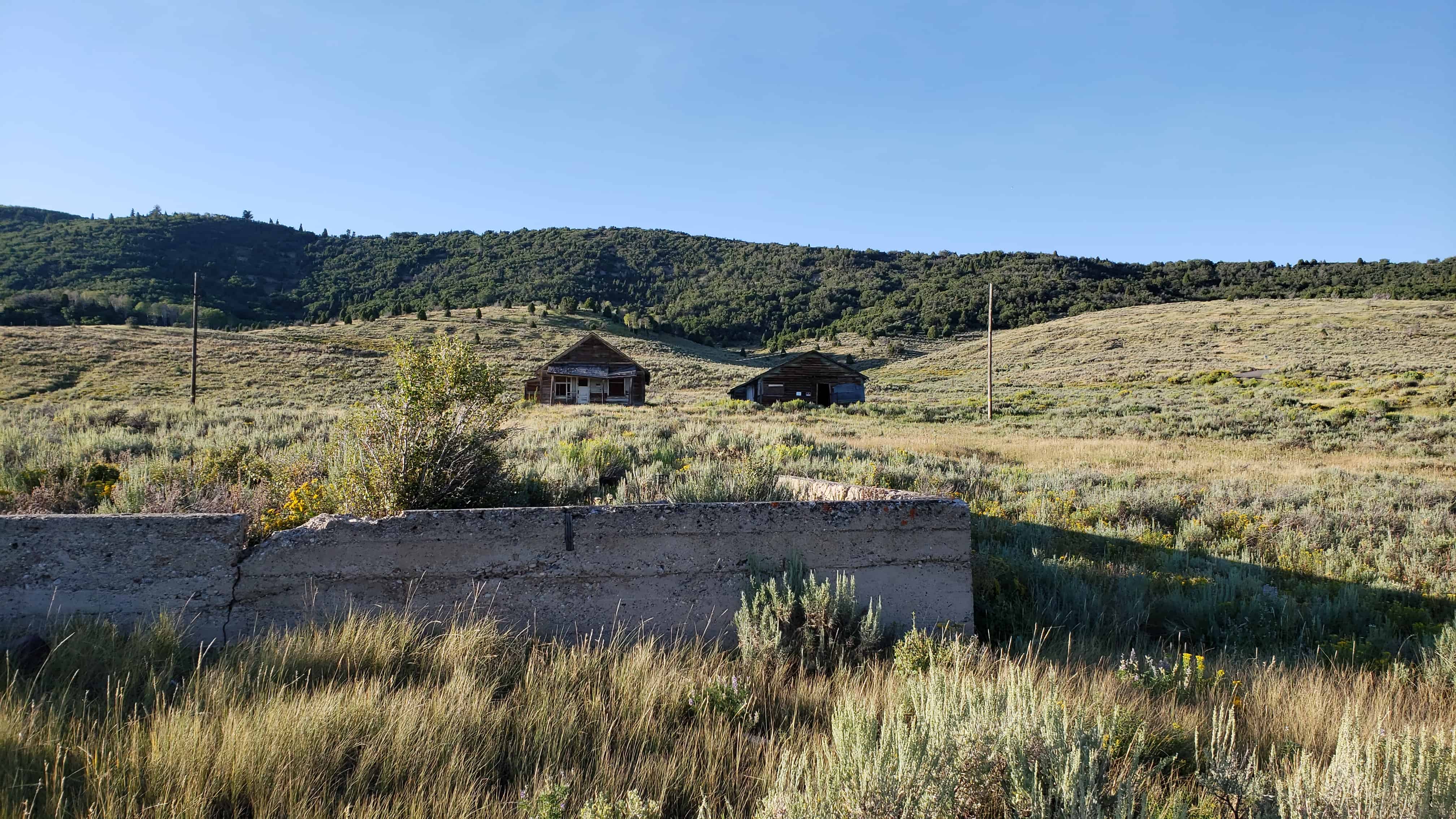
Silver Reef is a “ghost town” in Washington County, near Leeds. Silver Reef was established after John Kemple, a prospector from Nevada, discovered a vein of silver in a sandstone formation in 1866. At first, geologists were uncertain about Kemple’s find because silver is not usually found in sandstone. In 1875, two bankers from Salt Lake City sent William Barbee to the site to stake mining claims. He staked 21 claims, and an influx of miners came to work Barbee’s claims and to stake their own. To accommodate the miners, Barbee established a town called Bonanza City. Property values there were high, so several miners settled on a ridge to the north of it and named their settlement “Rockpile”. The town was renamed Silver Reef after silver mines in nearby Pioche closed and businessmen arrived.
By 1879, about 2,000 people were living in Silver Reef. The town had a mile-long Main Street with many businesses, among them a Wells Fargo office, the Rice Building, and the Cosmopolitan Restaurant. Although adjacent to many settlements with a majority of Mormon residents, the town never had a meeting house for Latter-day Saints, only a Catholic church. In 1879, a fire destroyed several businesses, but the residents rebuilt them. Mines were gradually closed, most of them by 1884, as the worldwide price of silver dropped. By 1901, most of the buildings in town had either been demolished or moved to Leeds.
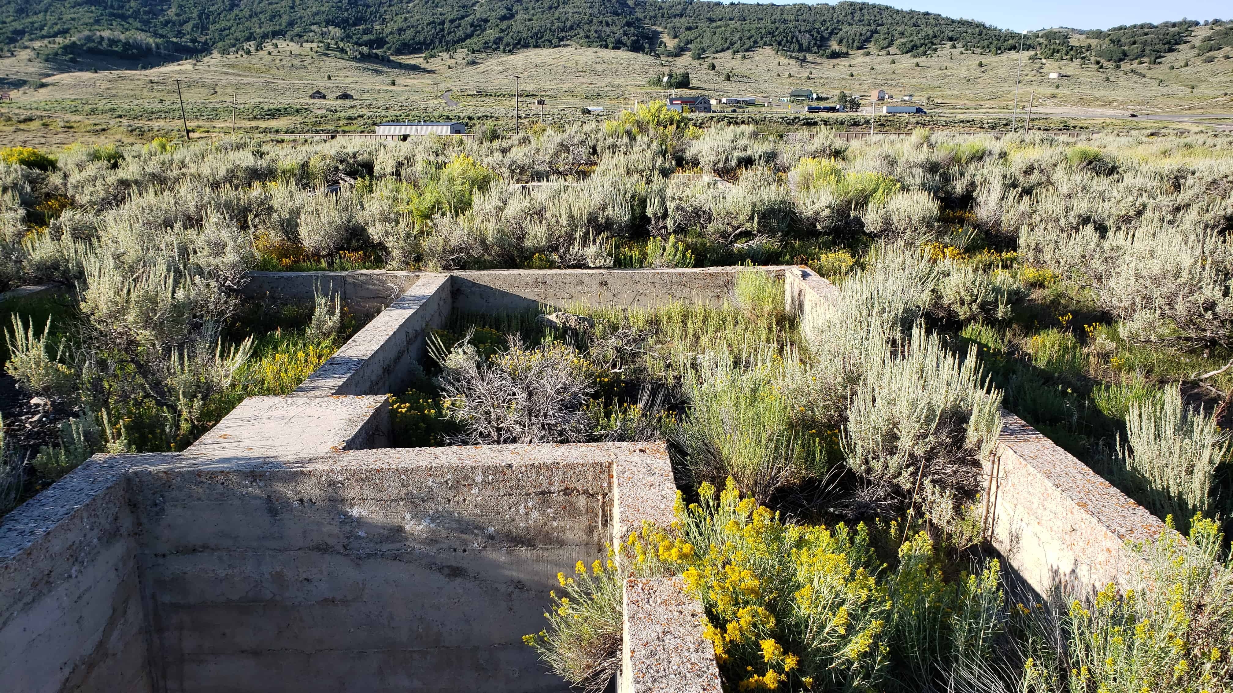
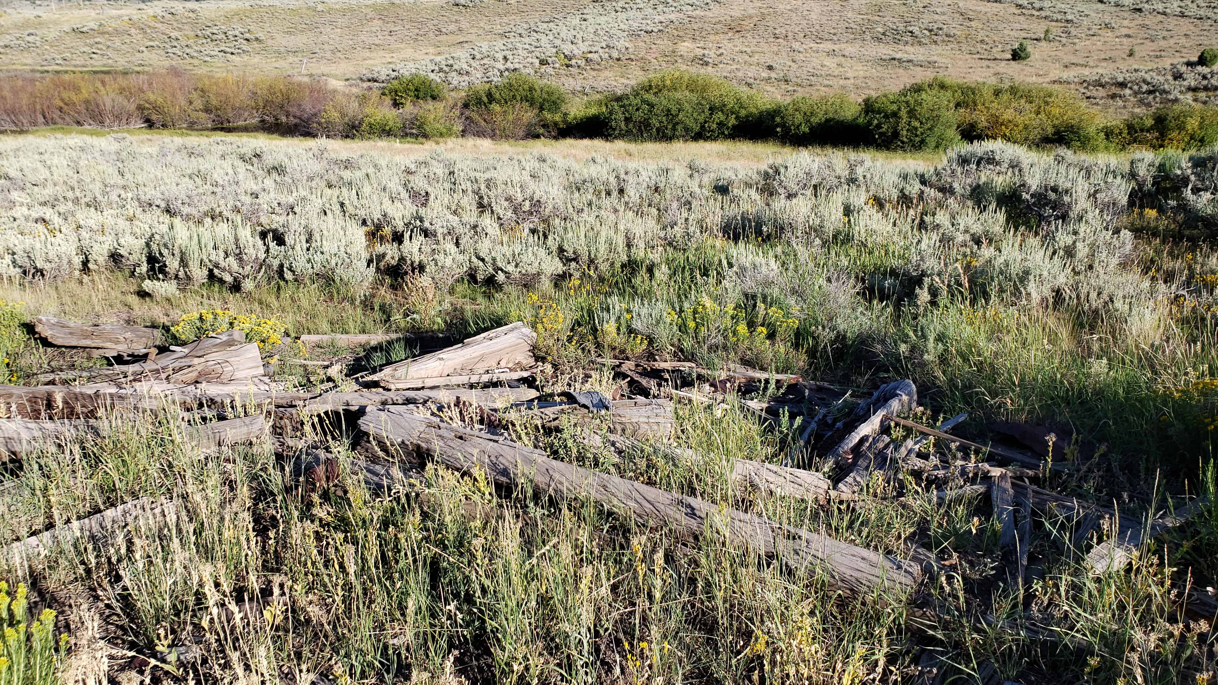
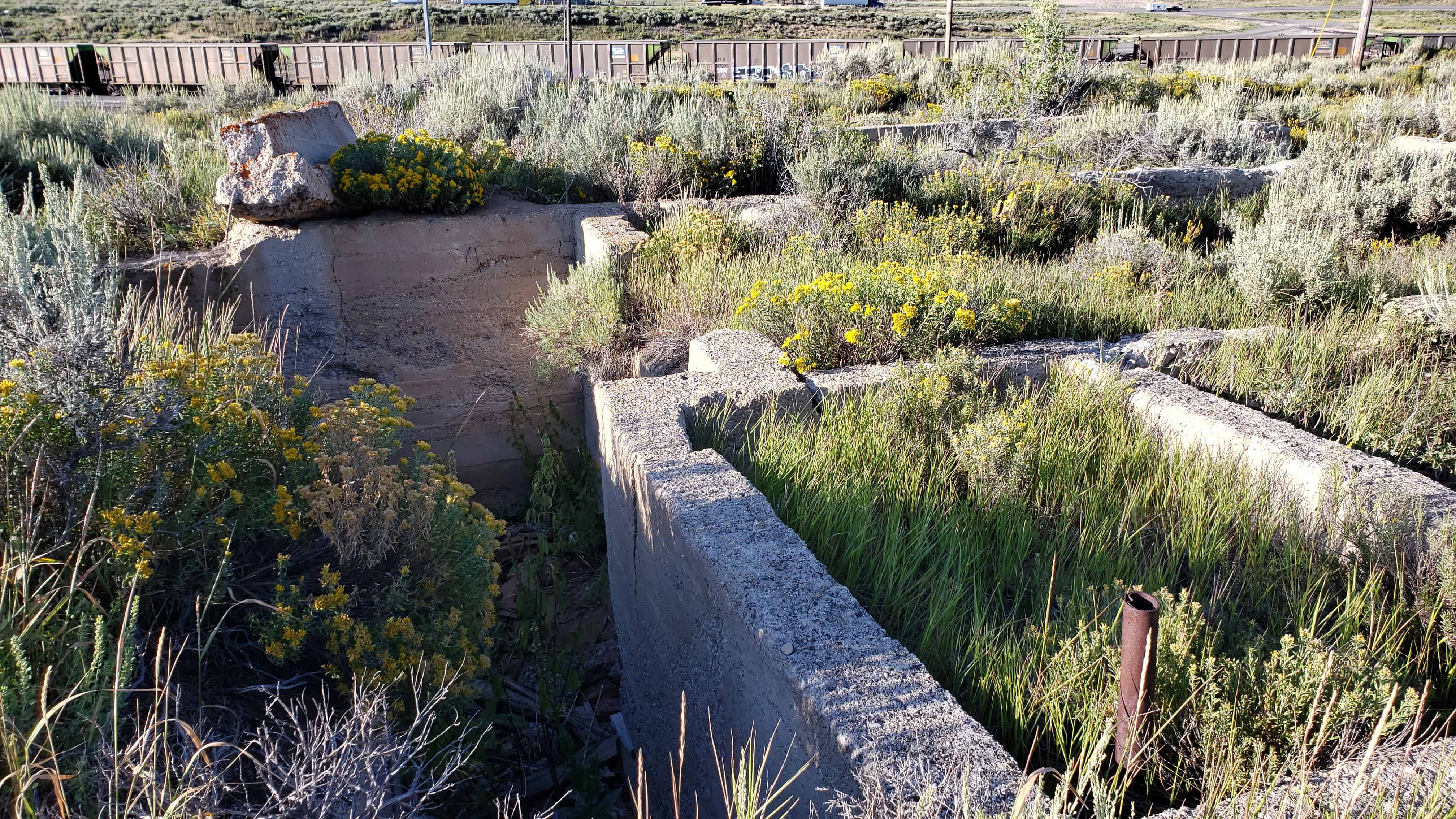
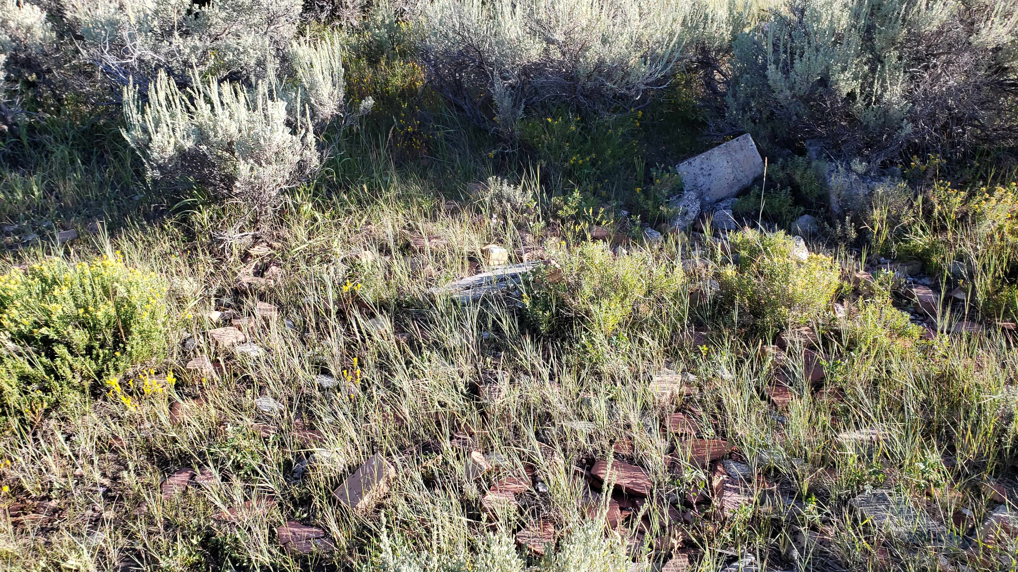
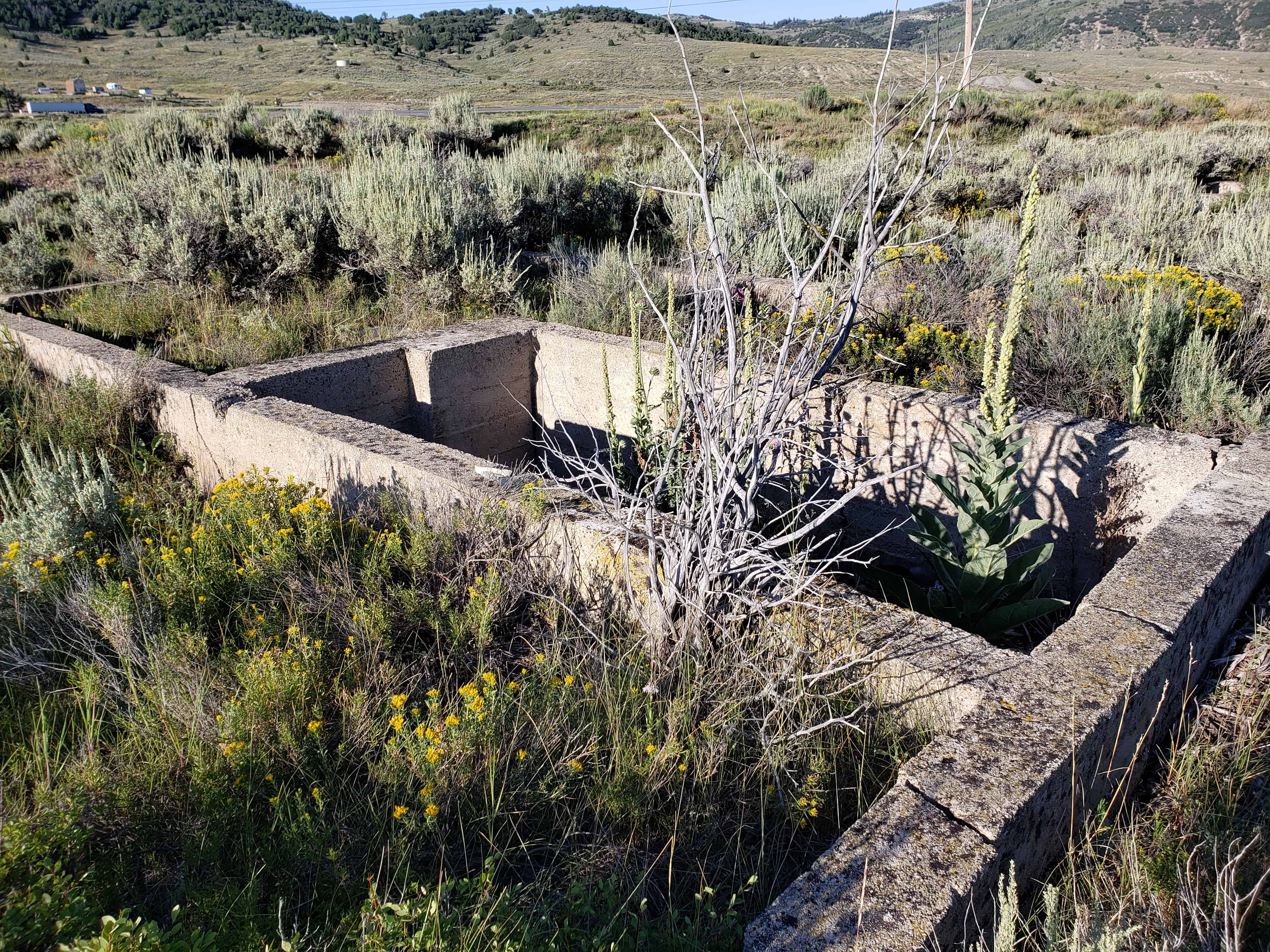
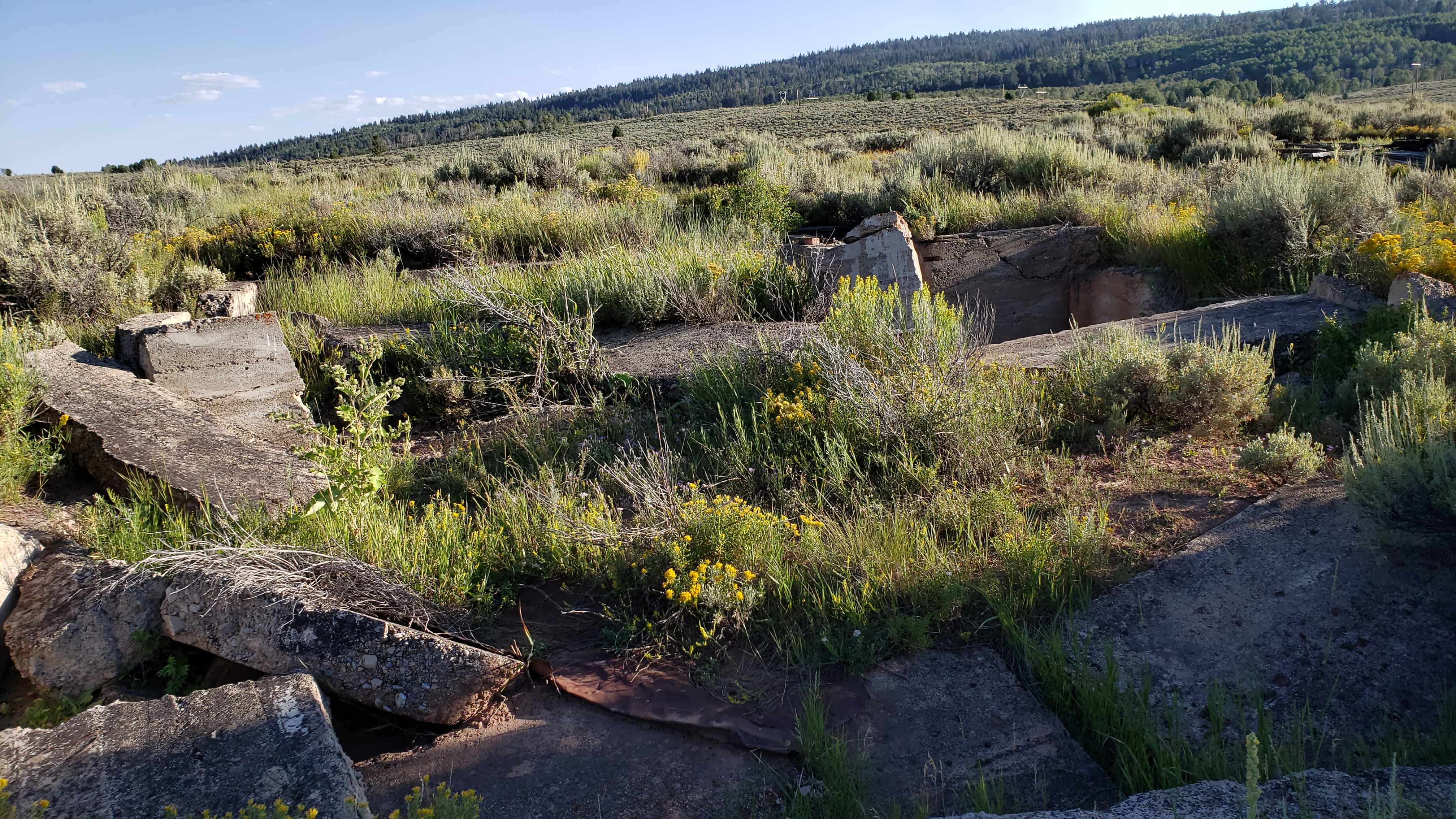
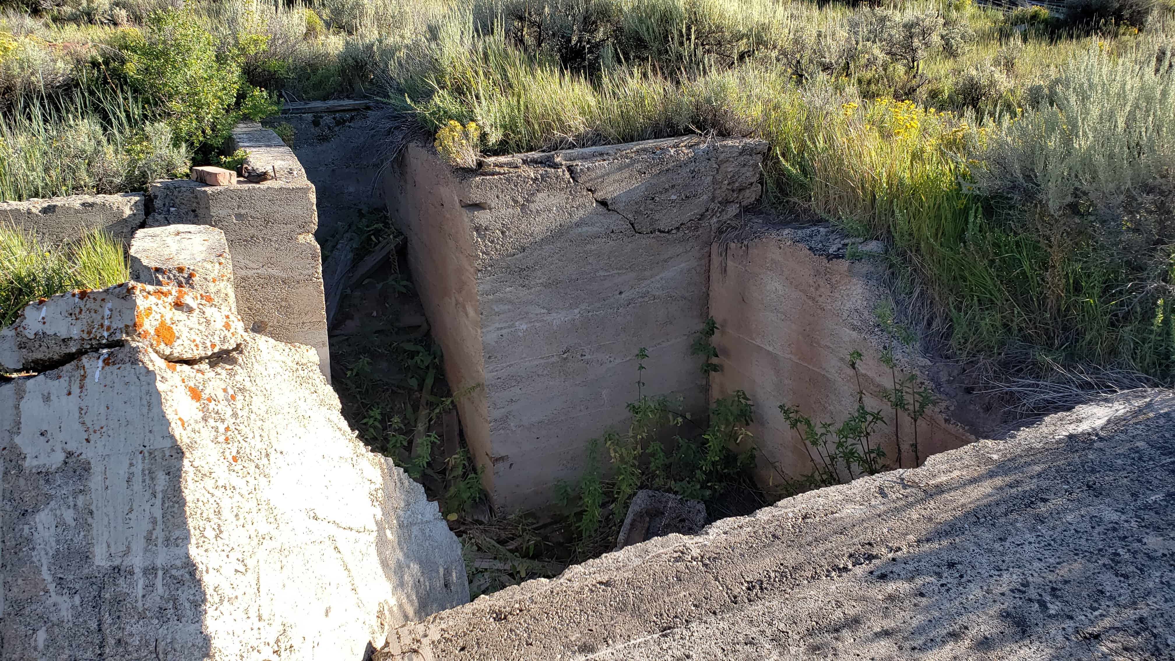
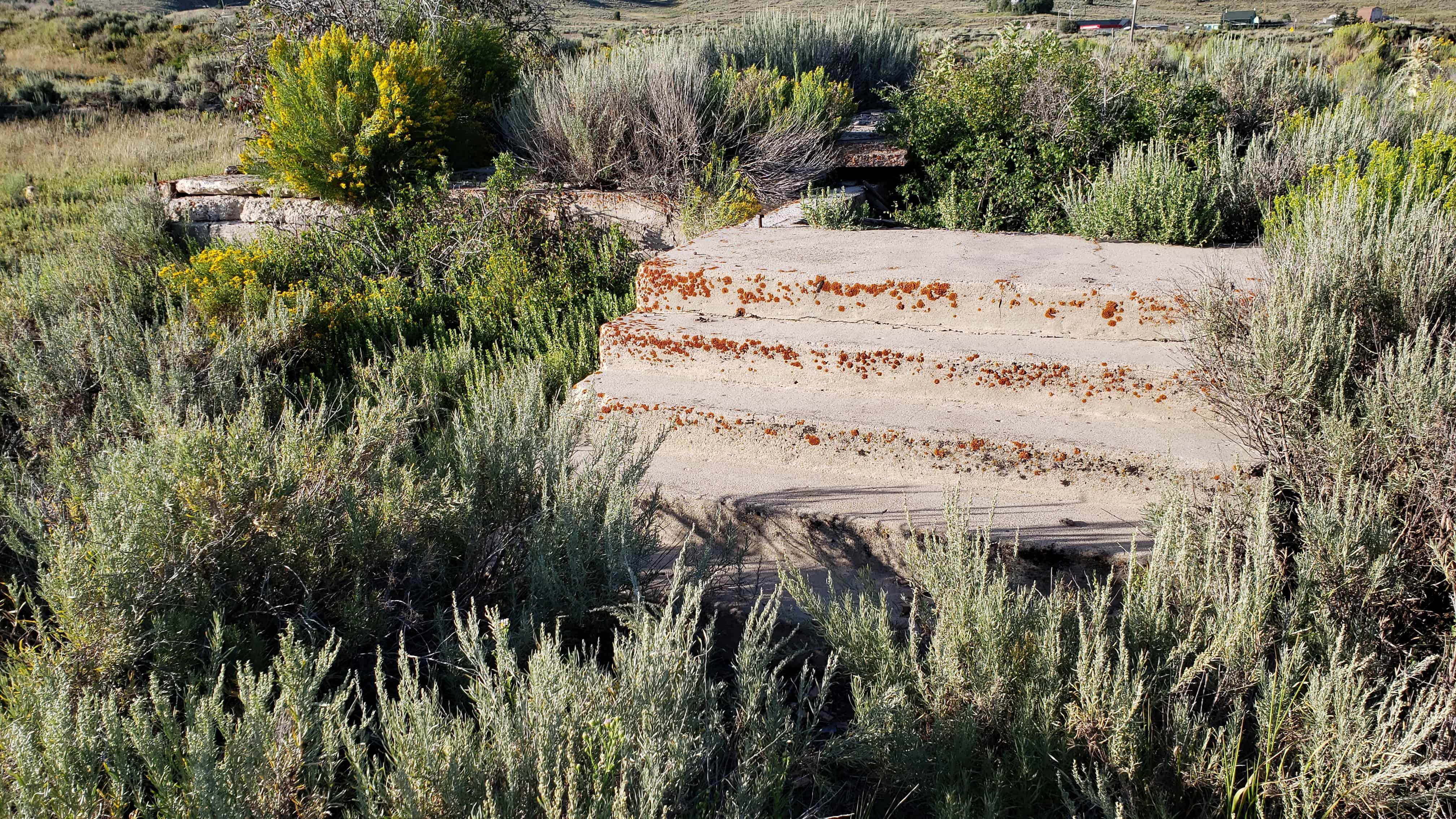
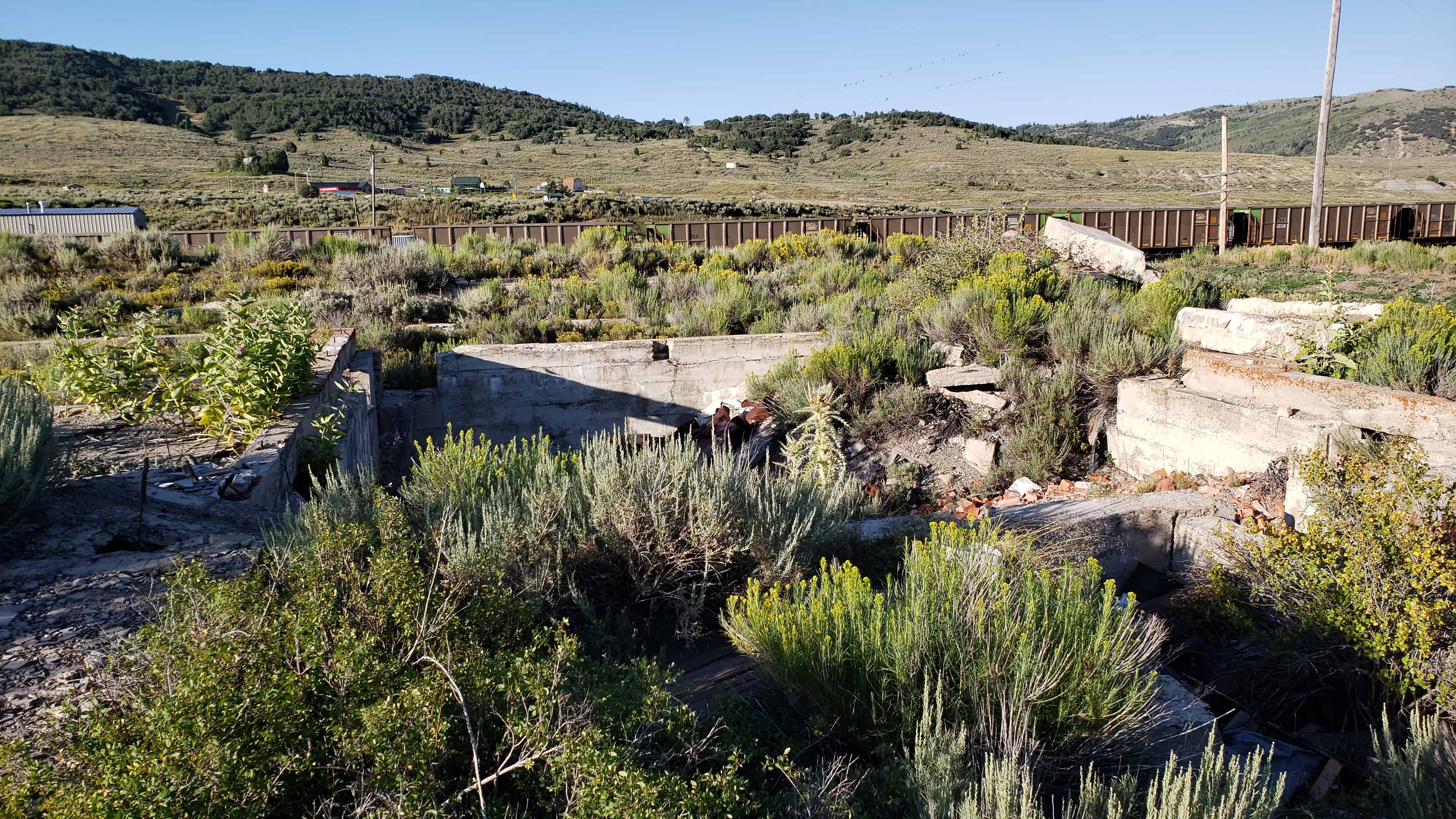
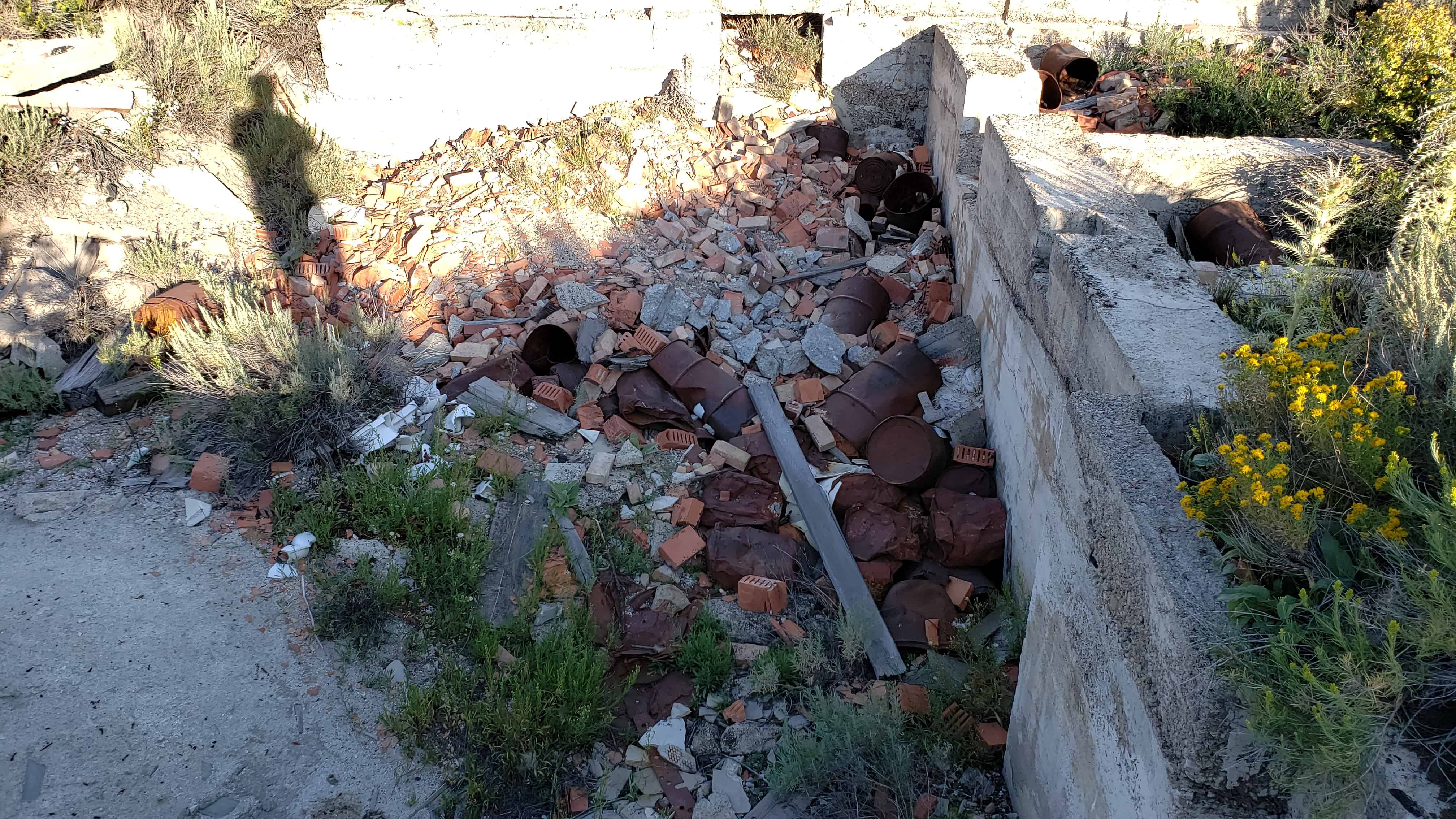
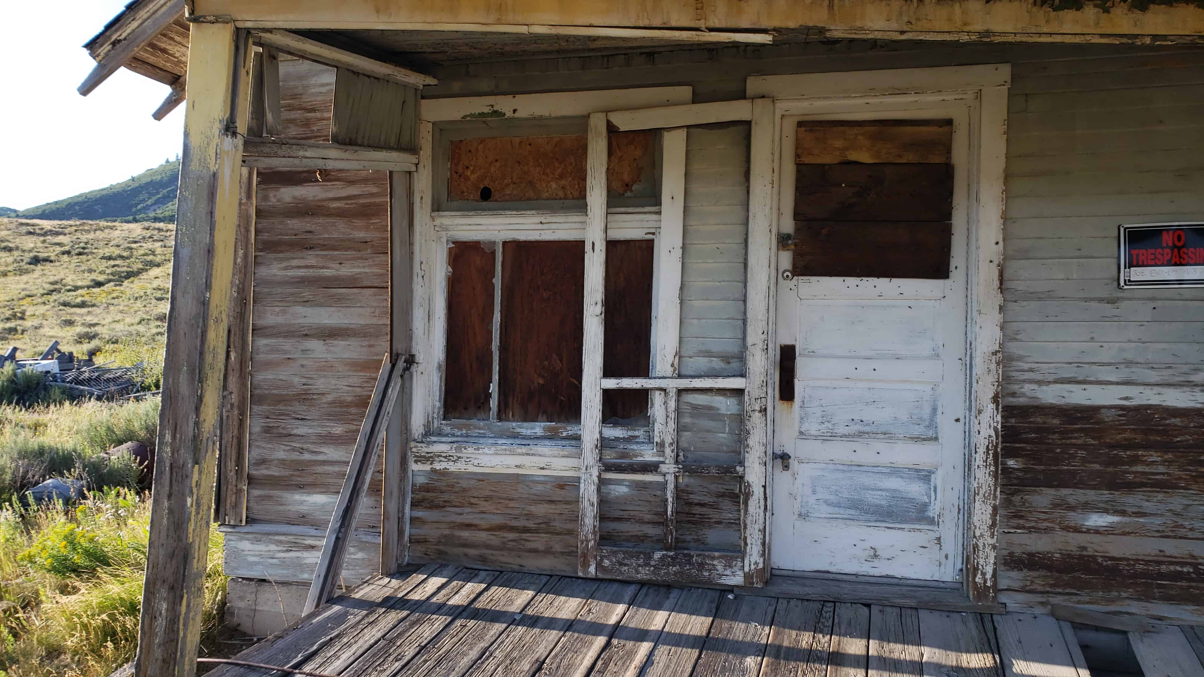
In 1916, mining operations in Silver Reef resumed under the direction of Alex Colbath, who organized the area’s mines into the Silver Reef Consolidated Mining Company. These mines were purchased by American Smelting and Refining Company in 1928, but the company did minimal work as a result of the Great Depression. The Western Gold & Uranium Corporation purchased Silver Reef’s mines in 1948, and in 1951, they began mining uranium in the area. These operations did not last long either, and the Western Gold & Uranium Corporation sold their mines to the 5M Corporation in 1979. Today, the Wells Fargo office, the Cosmopolitan Restaurant, the Rice Building, and numerous foundations and walls remain in the town site, and a few dozen homes have been constructed in the area.(*)
Between 1875 and the end of 1876, Silver Reef boomed with development, going from a boulder-strewn flat to a town of 1,500 people, one of the largest in Washington county. Silver Reef soon became the center of permanent development, and many stone and wooden buildings were erected along a mile-long Main Street. Among the many businesses and buildings were six saloons, nine grocery stores, two dance halls, a brewery, billiard hall, the Wells Fargo Express Office, post office undertaker, citizens hall, jail, Masonic and Oddfellows halls, telegraph office, barber shop, physicians office, Chinese laundries (the walls are standing today), and a Catholic church with a hospital included. The Wells Fargo building, which you stand before, has been placed on the National Register of Historic Places.
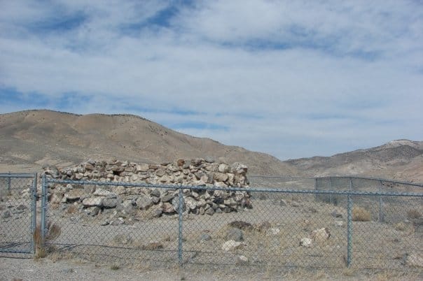
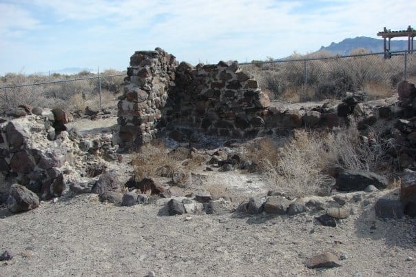
The original “Round Station” Pony Express station, located about three miles west of here, was burned down in an Indian attack, rebuilt with stones on this site, and renamed Canyon Station.
Stories of solitary Pony Express riders valiantly galloping through the western frontier still inspire people around the world. Publishers and editors during the 1860s often developed romanticized tales of the Wild West. Eyewitness accounts paint a more accurate picture of frontier history.
British explorer Sir Richard Burton visited Salt Lake City in September of 1860. His journal entries paint an eerie image of the Overland Stage and Pony Express stations west of the Great Salt Lake. Near the top of Overland Canyon, Burton wrote: “Nothing, certainly, could be better fitted for an ambuscade than this gorge, with its caves and holes in snow-cuts, earth-drops, and lines of strata… in one place we saw the ashes of an Indian encampment; in another, a whirlwind, curling, as smoke would rise from behind a projecting spur, [it] made us advance with the greatest caution.”
When en route to California, author Mark Twain vividly recounts his experience as a Pony Express rider gallops past his stagecoach: “We had a consuming desire from the beginning to see a pony-rider, but somehow or other all that passed us… managed to streak by in the night, and… the swift phantom of the desert was gone before we could get our heads out of the windows. But now we were expecting one… Away across the endless dead level of the prairie a black speck appears against the sky, and it is plain that it moves.”
“In a second or two it becomes a horse and rider, rising and falling, rising and falling – sweeping toward us nearer and nearer – growing more and more distinct, more and more sharply defined – nearer and still nearer, and the flutter of the hoofs comes faintly to the ear… another instant a whoop and a hurrah from our upper deck, a wave of the rider’s hand, but no reply, and man and horse burst past our excited faces, and go winging away like a belated fragment of a storm!”
Atrocities and Hostilities
American Indians inhabited lands along the Pony Express Trail for thousands of years before the Pony began its historic run. From the 1840s through the 1860s, they watched swarms of white settlers cross their homelands – impacting traditional hunting grounds with cattle and oxen grazing prairie grasses down to bare ground, and then the senseless killing of thousands of buffalo.
A long history of hostilities on both sides, combined with the terrible atrocities committed by hordes of miners during the 1859-60 rush for silver and gold at the Comstock Lode Mine in western Nevada, launched several years of conflict throughout the Great Basin area. Emigrant wagon trains, Pony Express riders, and station keepers alike began experiencing the angry reactions of regional tribes.
Pony Express riders and station workers alike were frequent targets of attack. Because they could hide safely behind cabin walls during an attack, one might think that workers in the station were safer than the riders were. Not so – more station workers were killed than riders were. Unlike riders who could usually outrun threats, station keepers were sitting ducks. Most of the stations across western Utah and Nevada were not much more than flimsy shelters – frequently located in remote areas far from help.
British adventurer, Sir Richard Burton, on his way west from Salt Lake City in 1860, made this observation on the stations:
“On this line there are two kinds of stations, the mail stations, where there is an agent in charge of five or six ‘boys,’ and the express station – where there is only a master and an express rider… It is a hard life, setting aside the change of death – no less than three murders have been committed by the Indians during this year.”
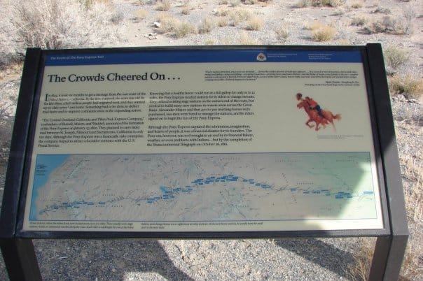
The Crowds Cheered On…
In 1845, it took six months to get a message from the east coast of the United States to California. By the time it arrived, the news was old. In the late 1850s, a half million people had migrated west, and they wanted up-to-date news from home. Something had to be done to deliver mail faster and to improve communication in the expanding nation.
“The Central Overland California and Pikes Peak Express Company,” a subsidiary of Russell, Majors, and Waddell, announced the formation of the Pony Express on January 27, 1860. They planned to carry letter mail between St. Joseph, Missouri and Sacramento, California in only ten days. Although the Pony Express was a financially risky enterprise, the company hoped to attract a lucrative contract with the U.S. Postal Service.
Knowing that a healthy horse could run at a full gallop for only 10 to 12 miles, the Pony Express needed stations for its riders to change mounts. They utilized existing stage stations on the eastern end of the route, but needed to build many new station in remote areas across the Great Basin. Alexander Majors said that 400 to 500 mustang horses were purchased, 200 men were hired to manage the station, and 80 riders signed on to begin the run of the Pony Express.
Although the Pony Express captured the admiration, imagination, and hearts of people, it was a financial disaster for its founders. The Pony era, however, was not brought to an end by its financial failure, weather, or even problems with Indians – but by the completion of the Transcontinental Telegraph on October 26, 1861.
“Every neck is stretched, and every eye stained… Across the endless prairie a black spec appears… In a second or two it becomes a horse and rider, rising and falling, rising and falling – sweeping toward us – growing more and more distinct, and the flutter of hoofs comes faintly to the ear – another instant a whoop and a hurrah from our upper deck, a wave of the rider’s hand, but no reply, and man and horse burst past our excited faces, and go winging away like belated fragment of a storm.” – Mark Twain – Roughing It, 1872.
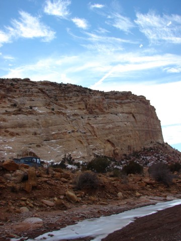
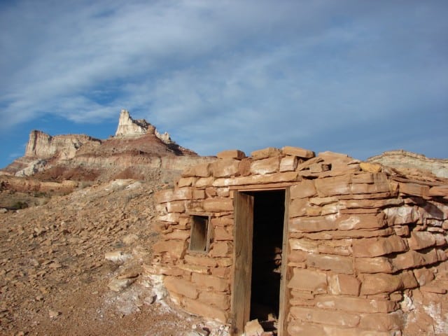
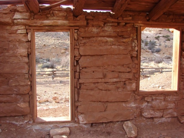
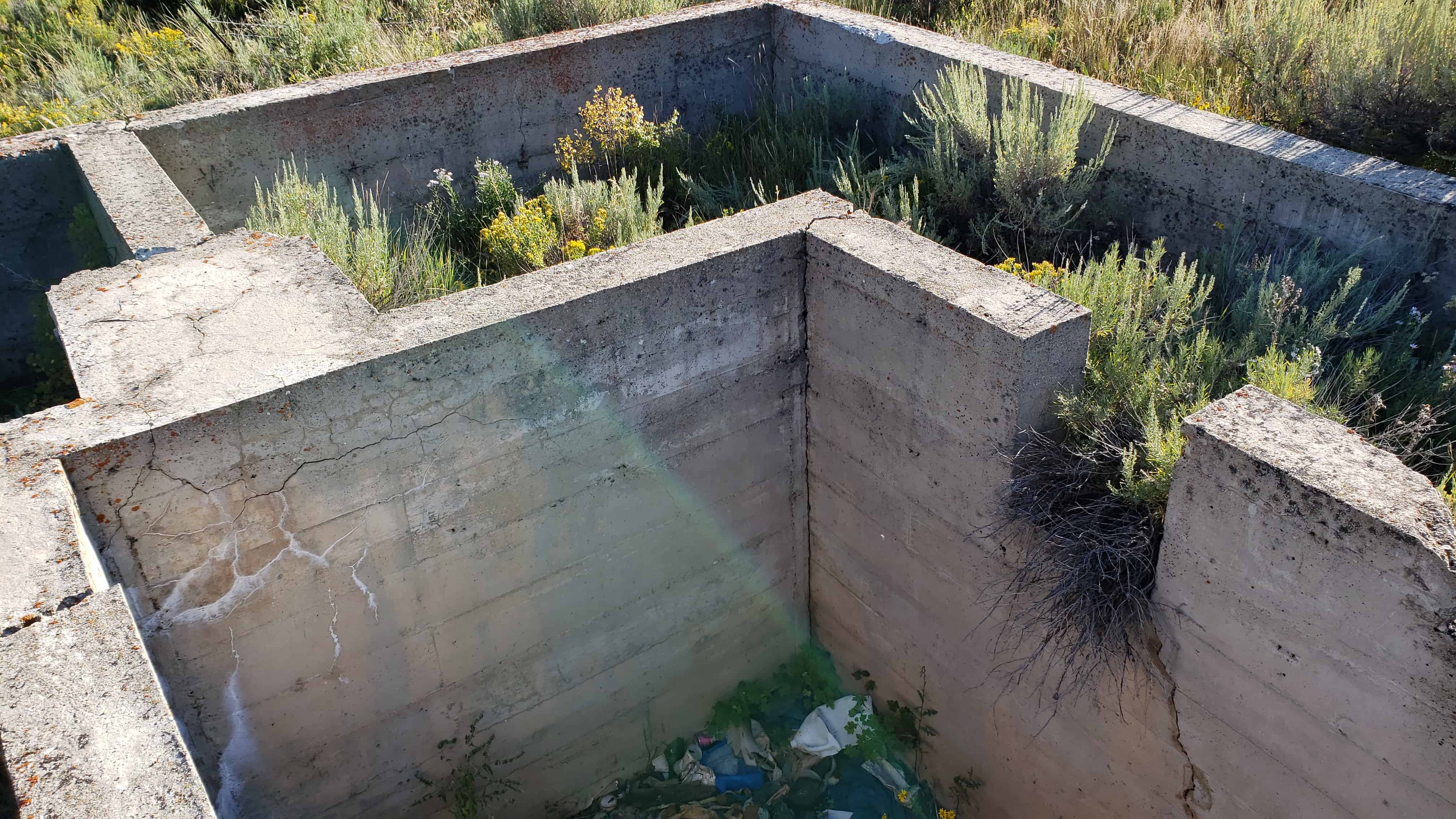
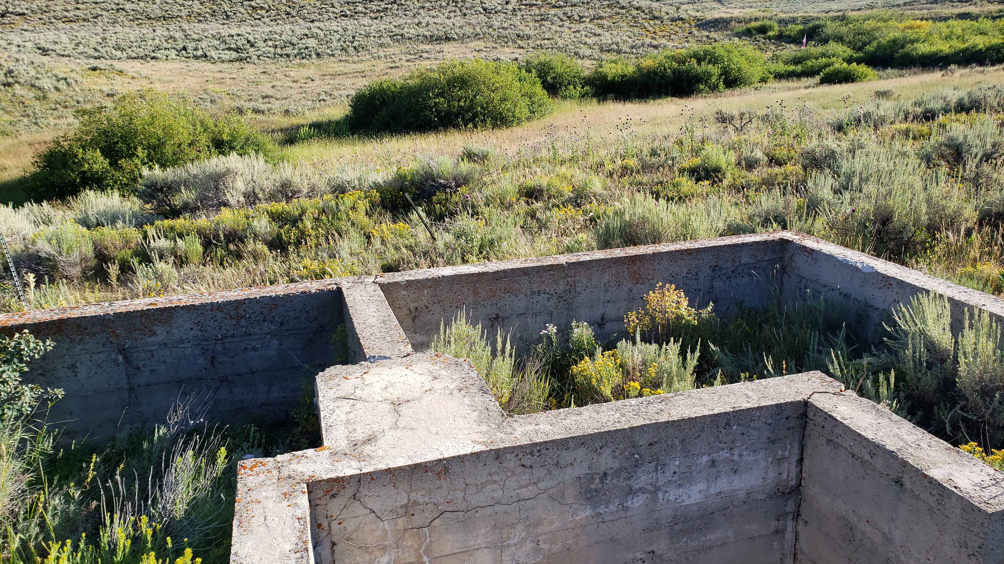
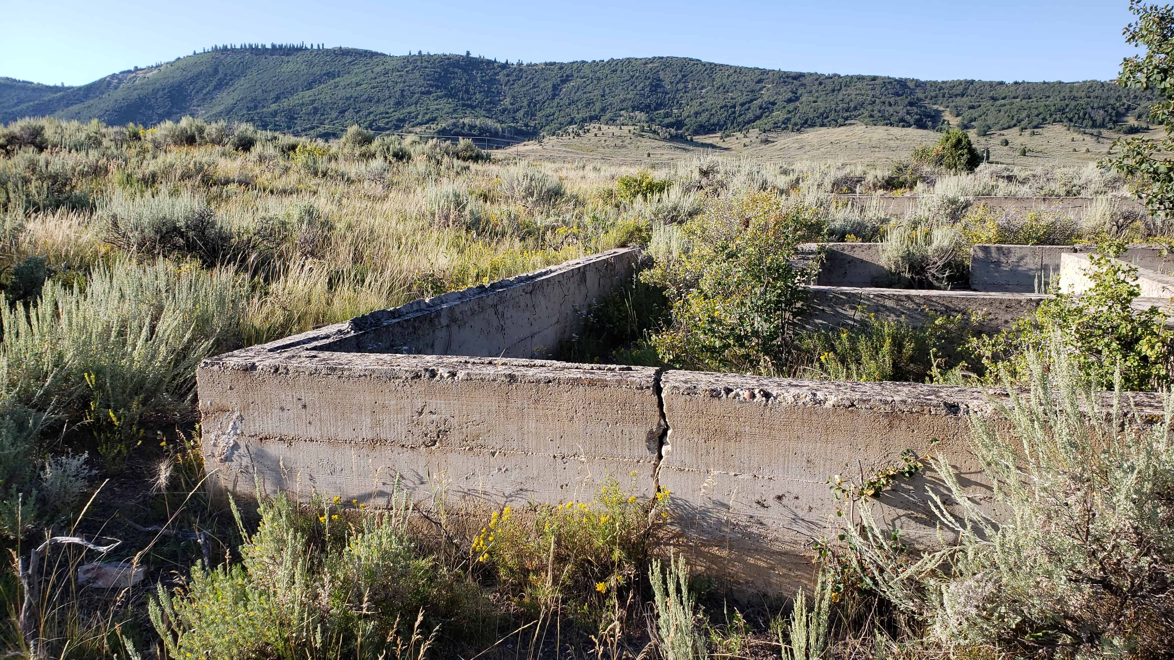
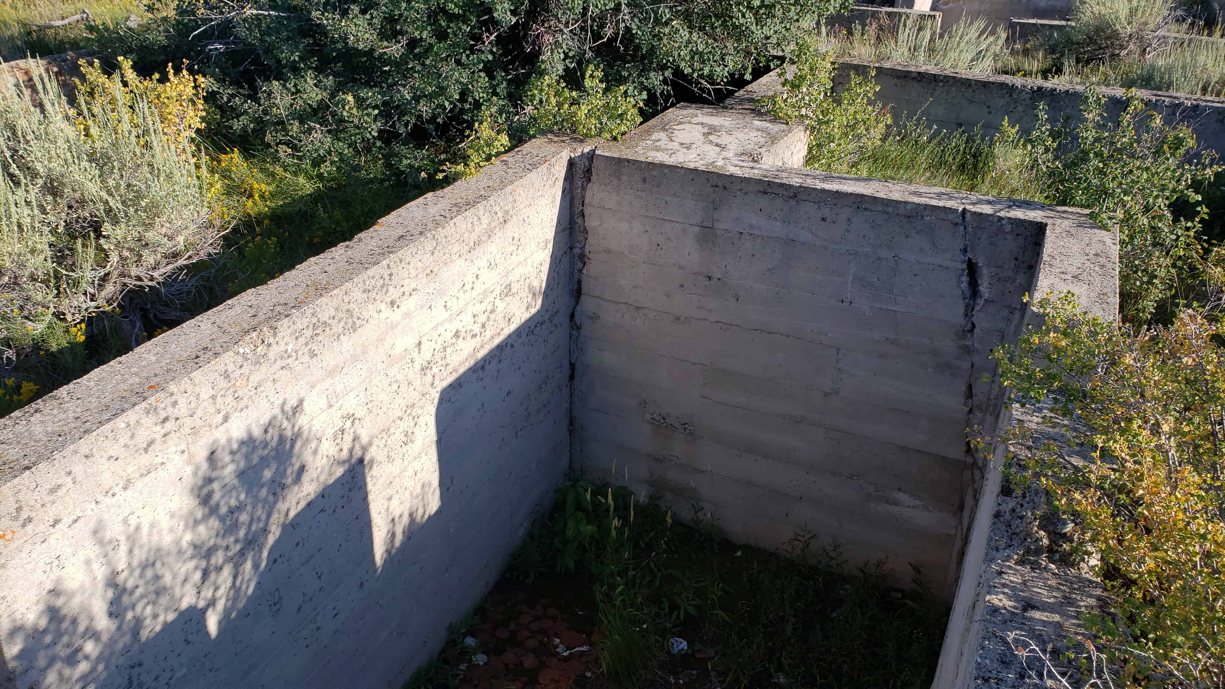
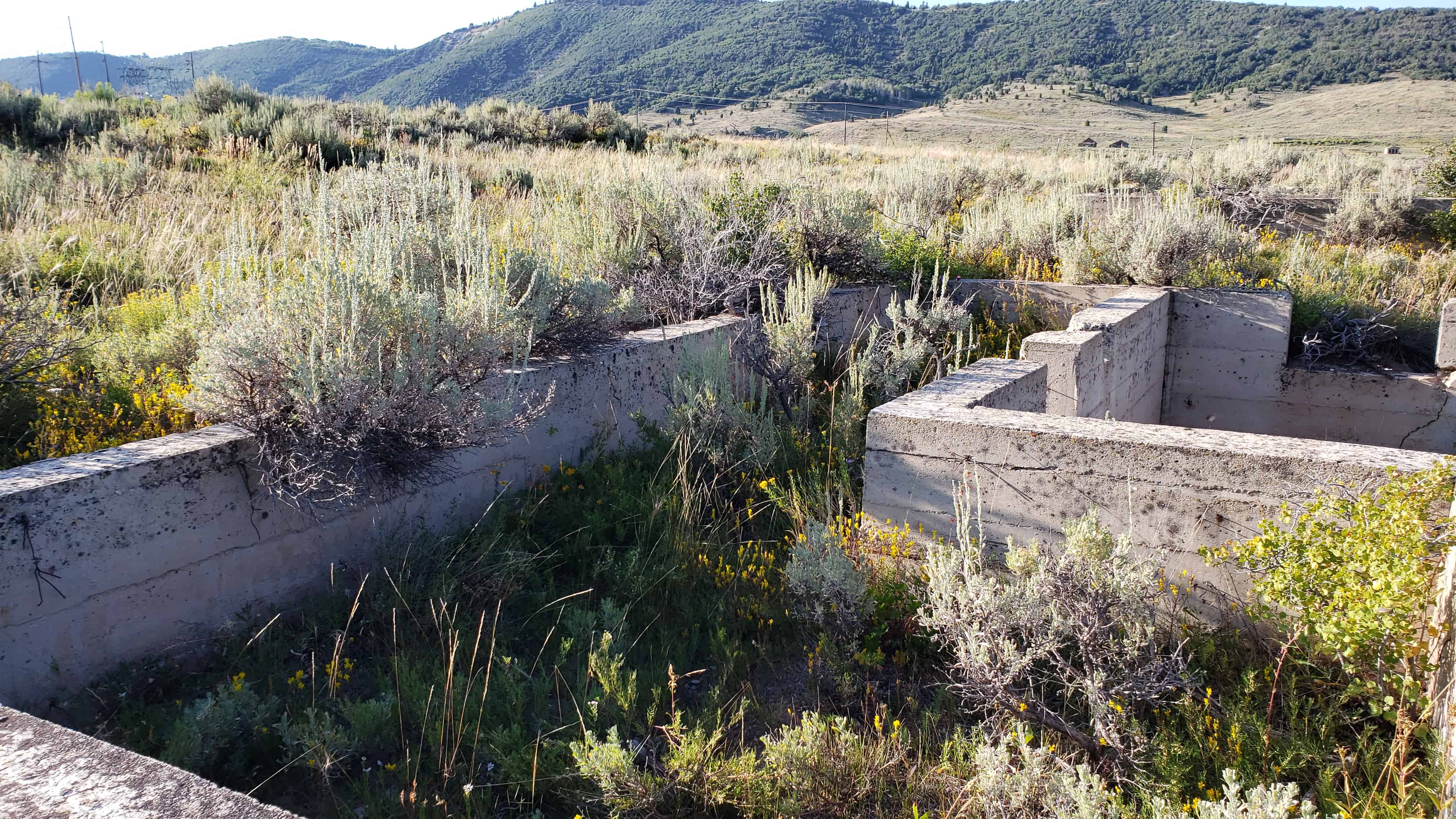
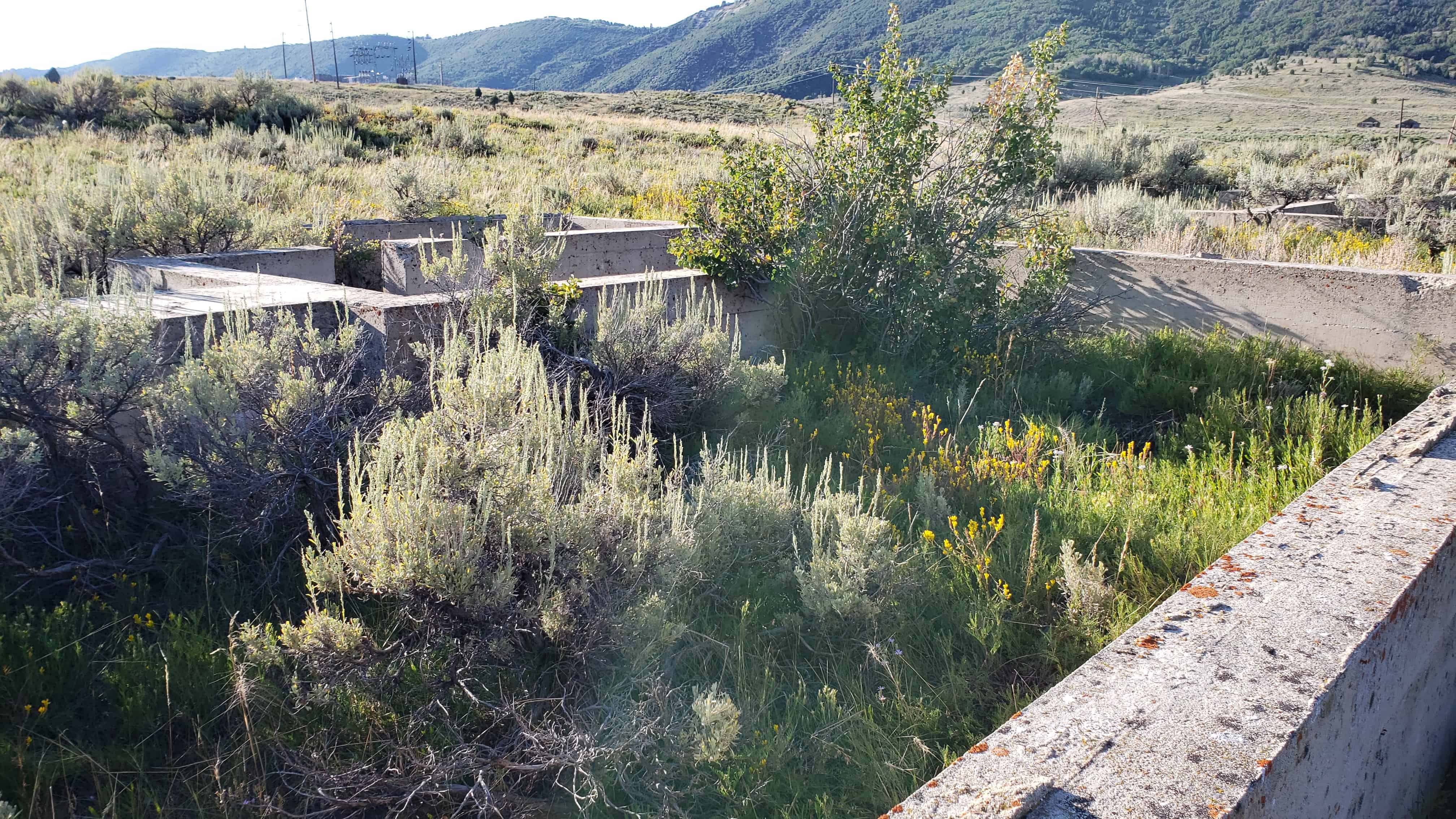
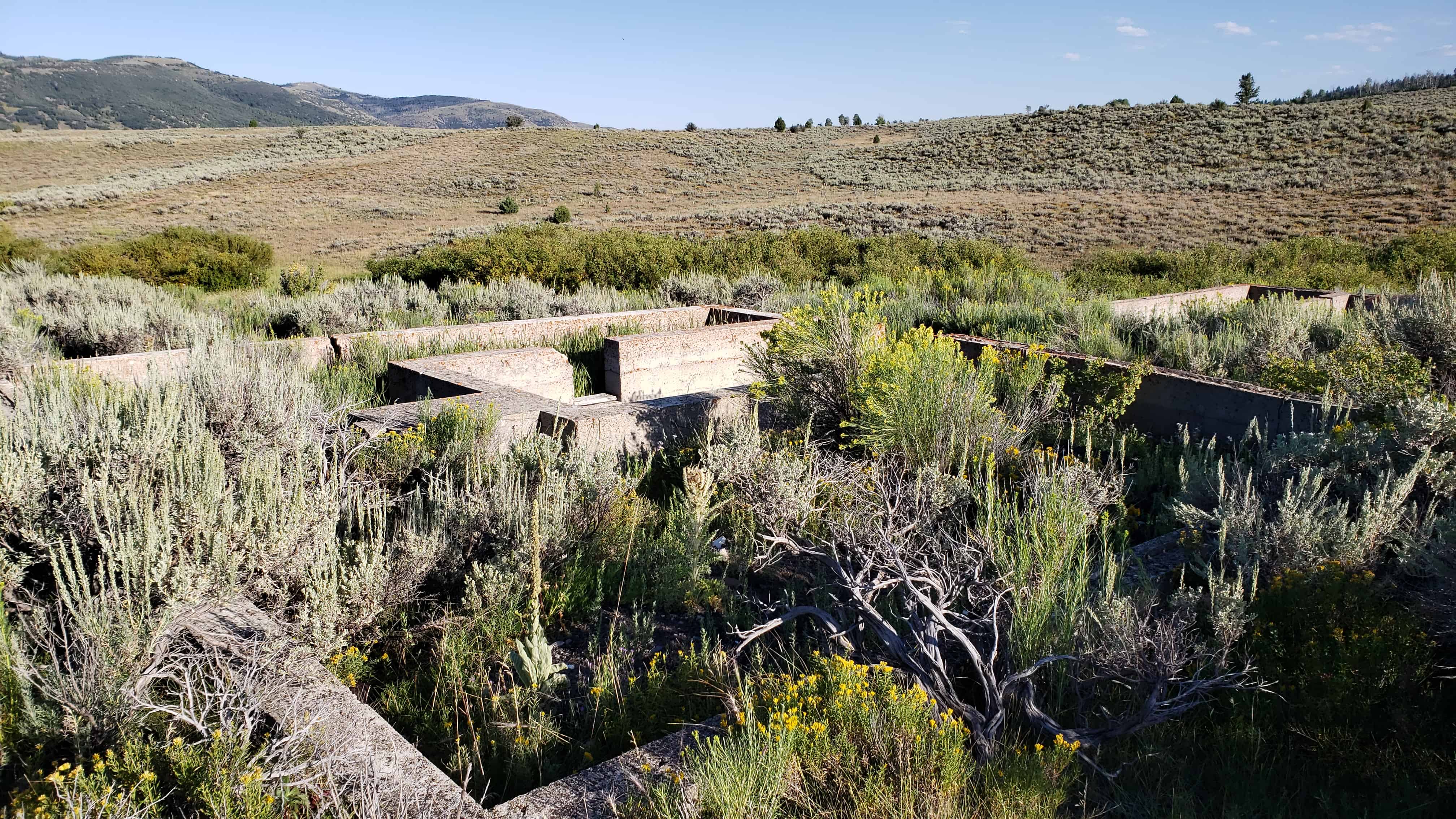
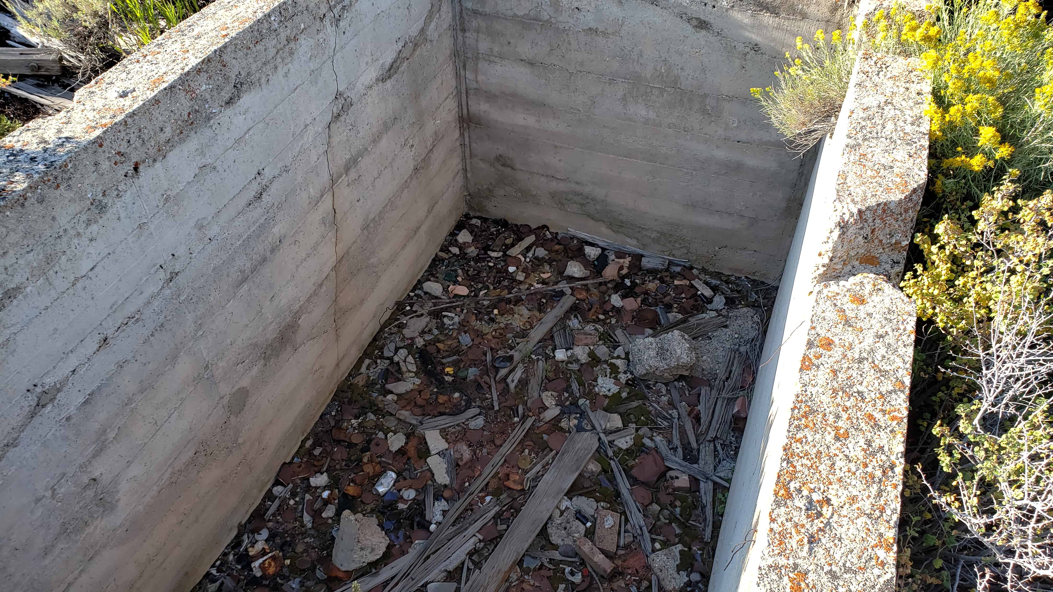
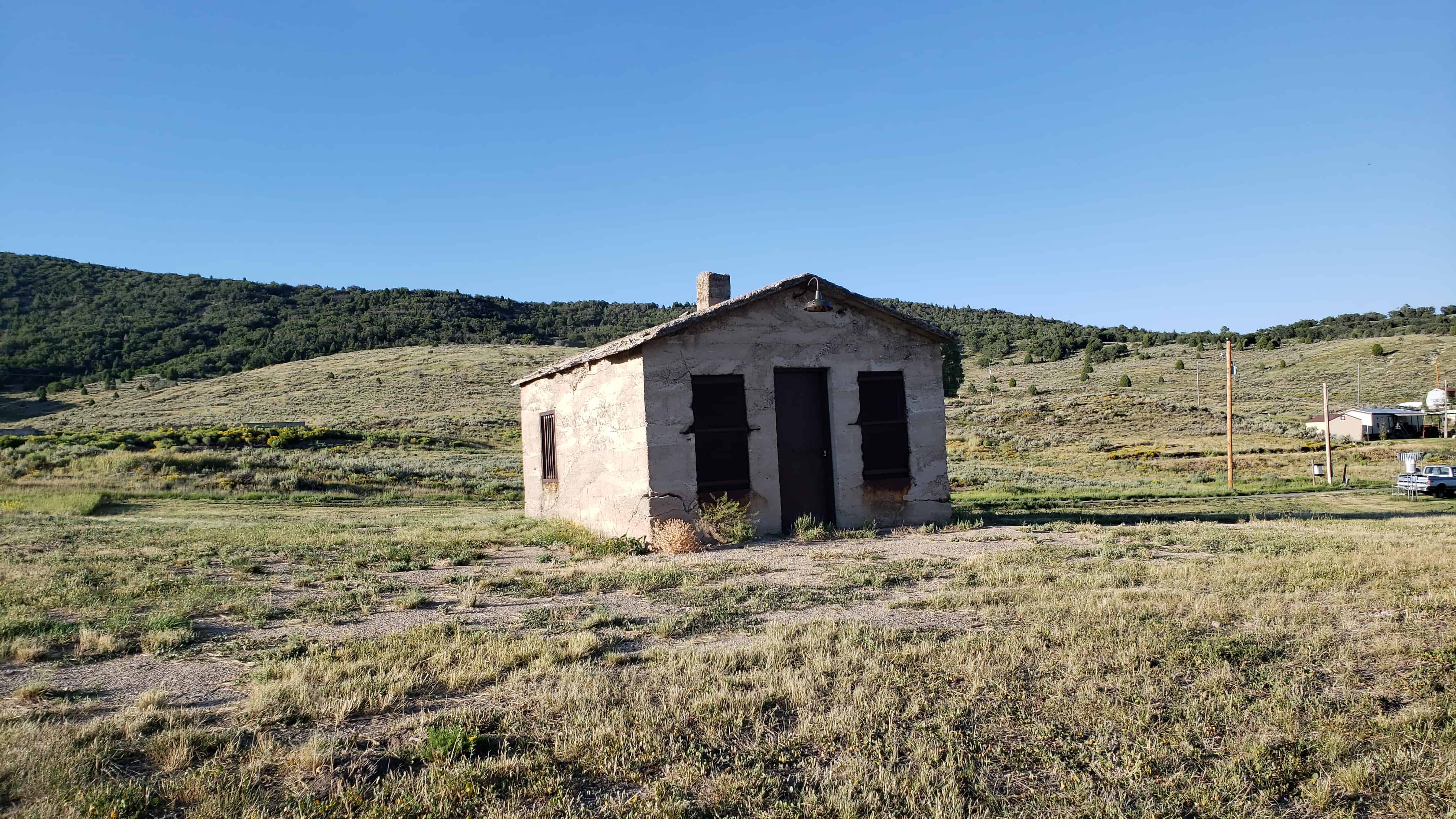
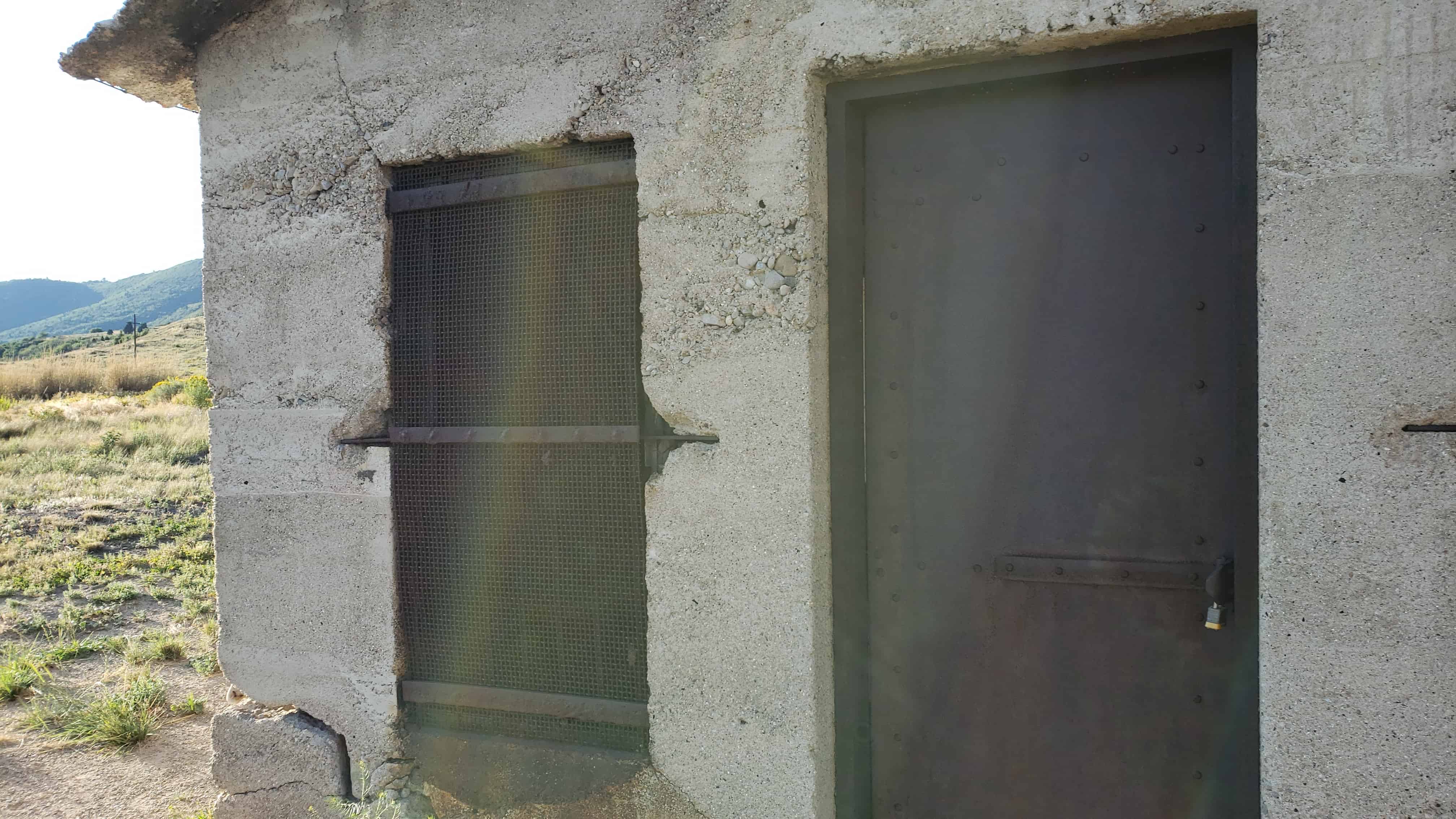
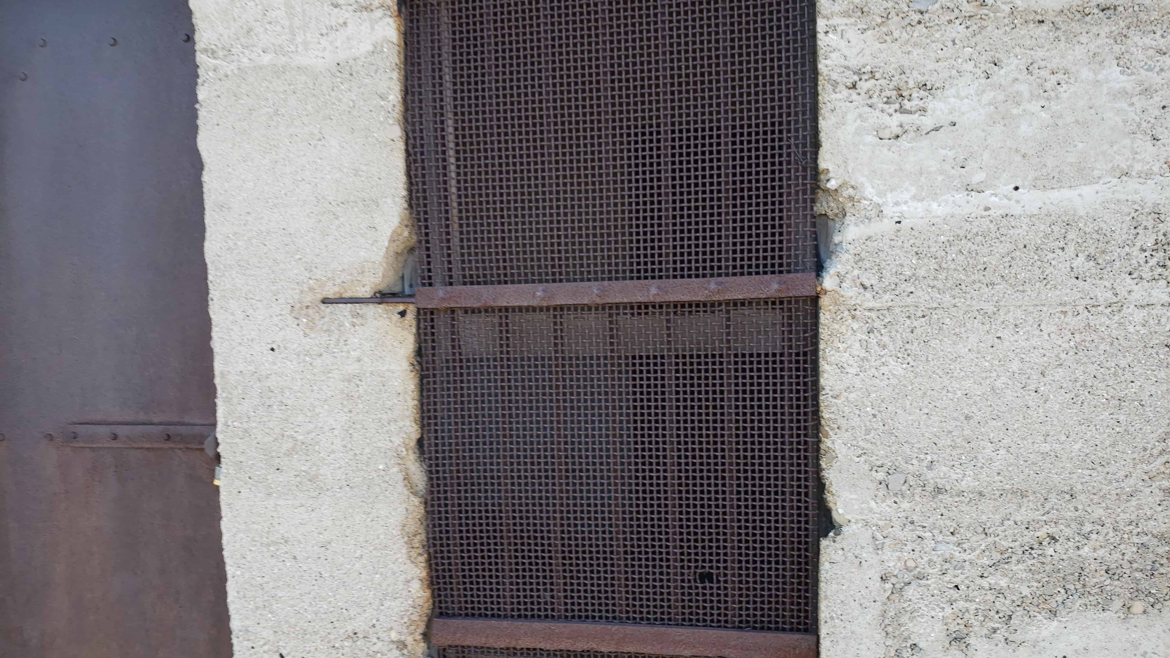
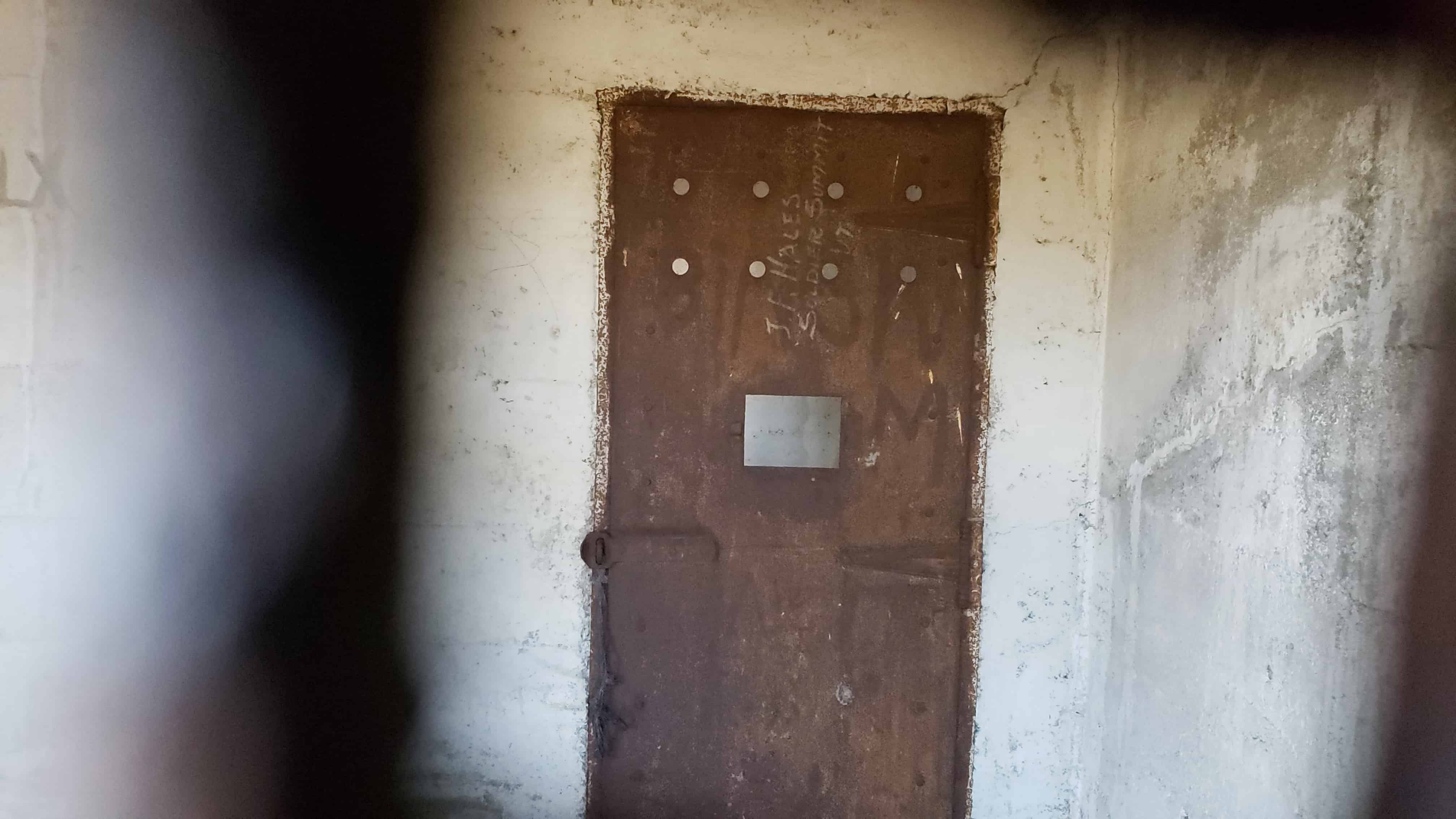
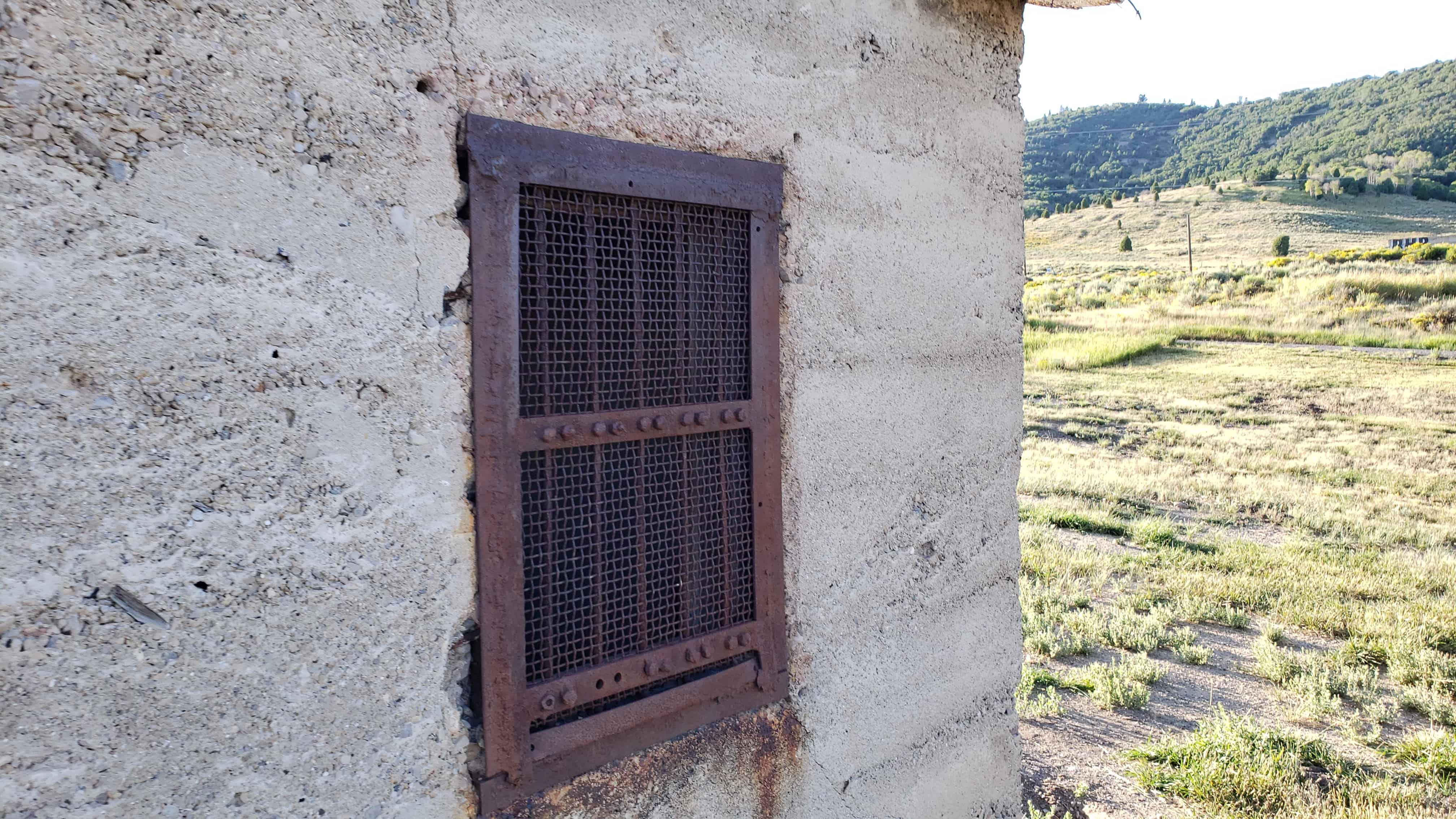
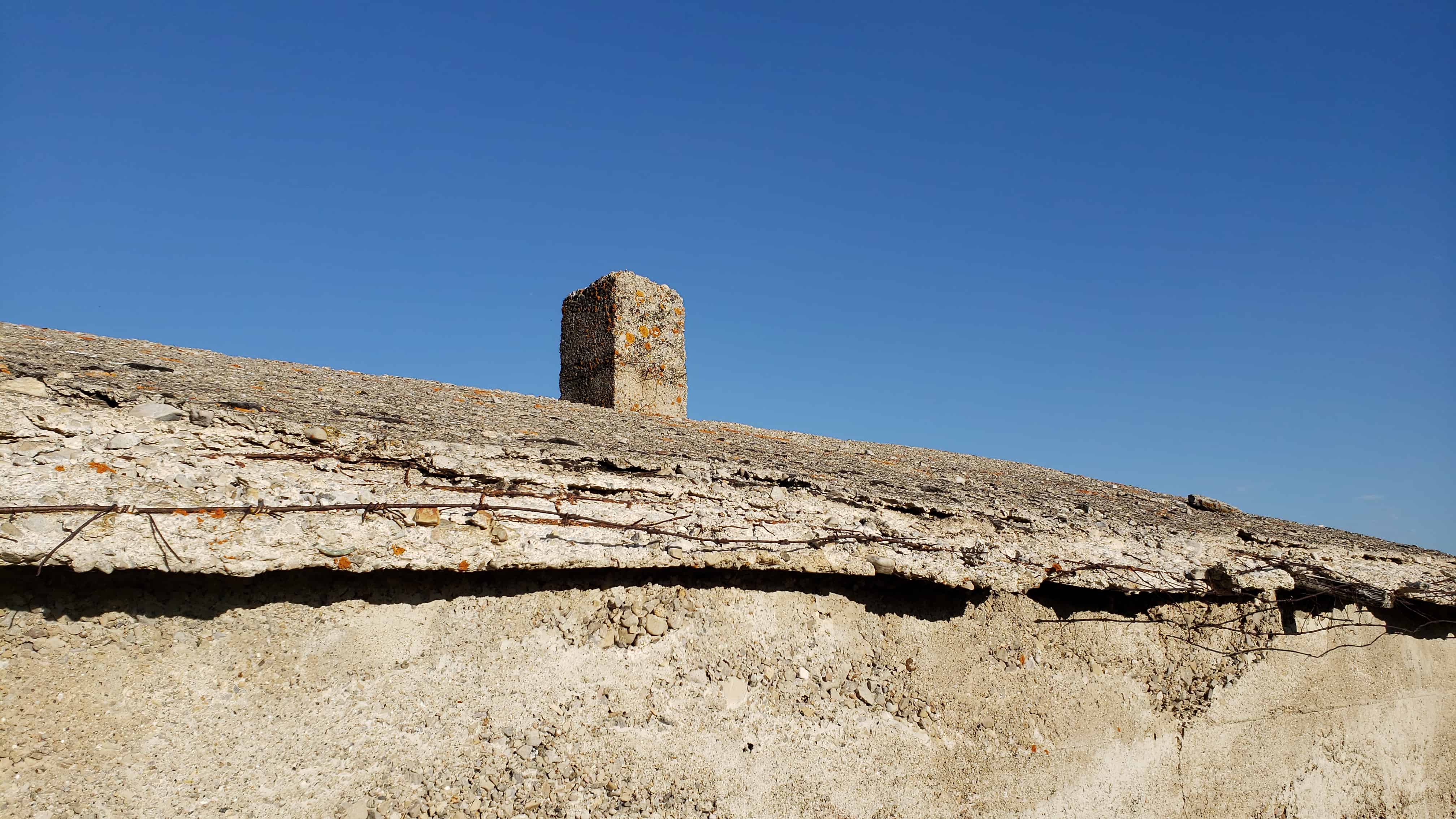
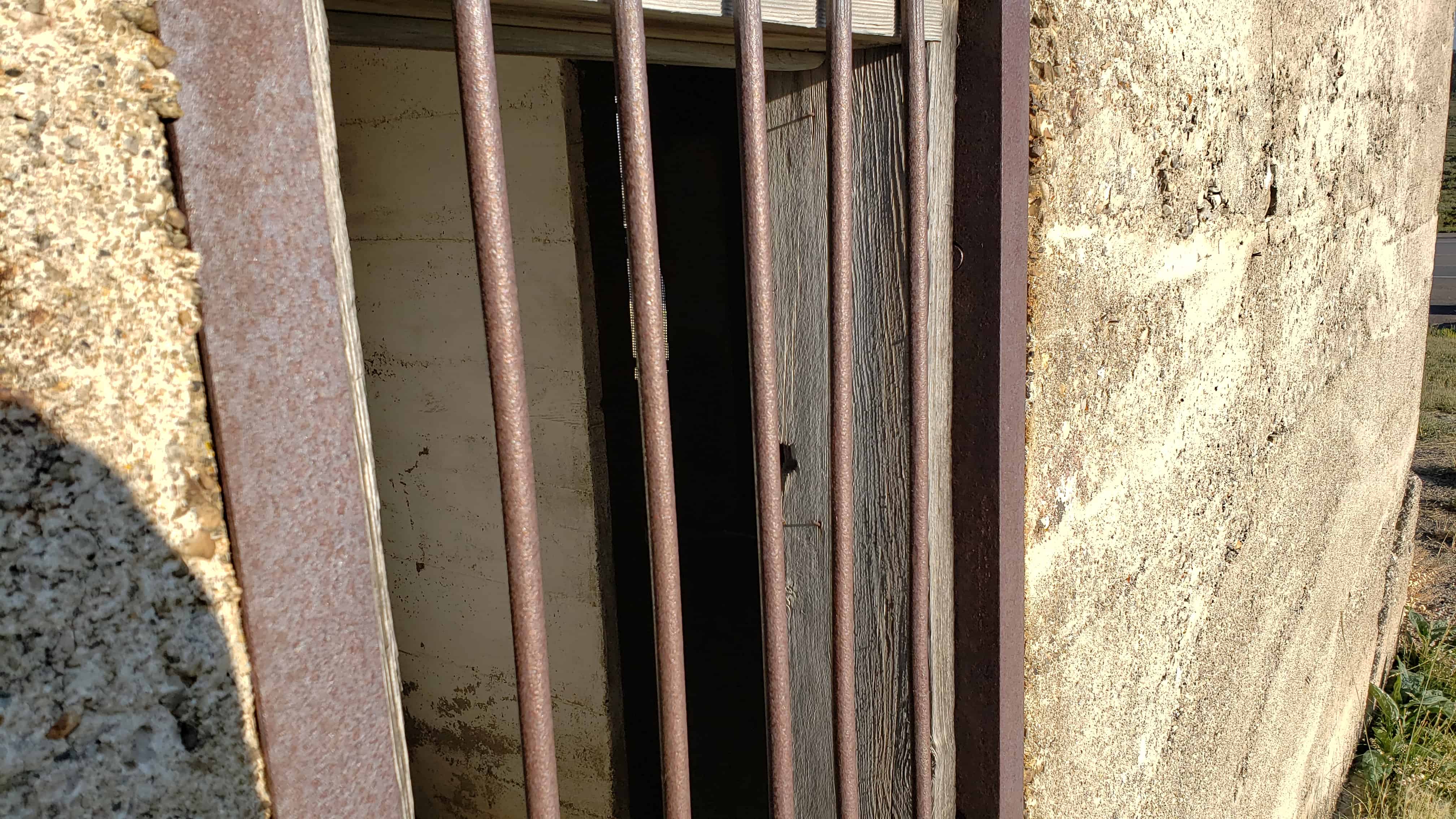
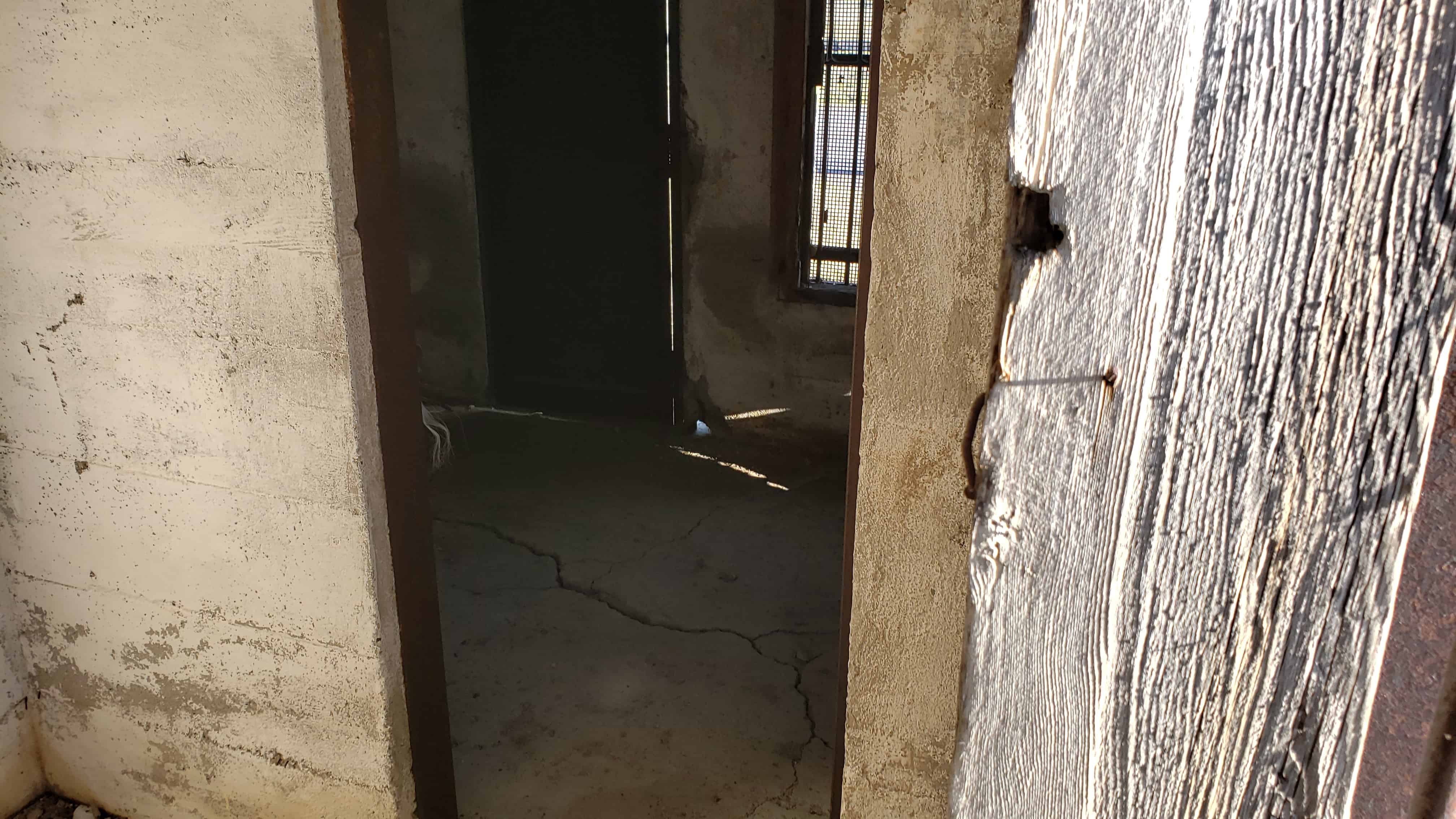
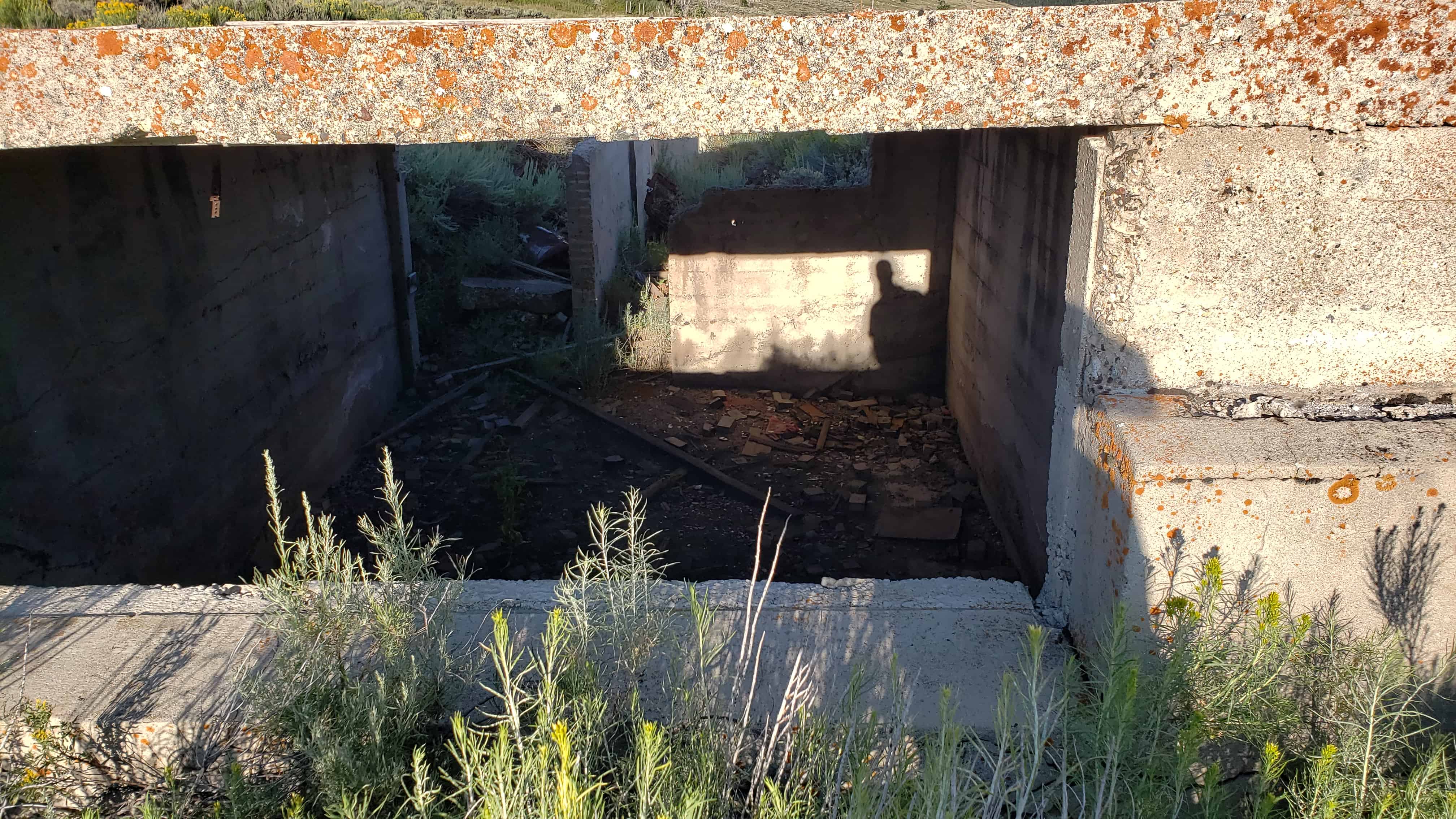
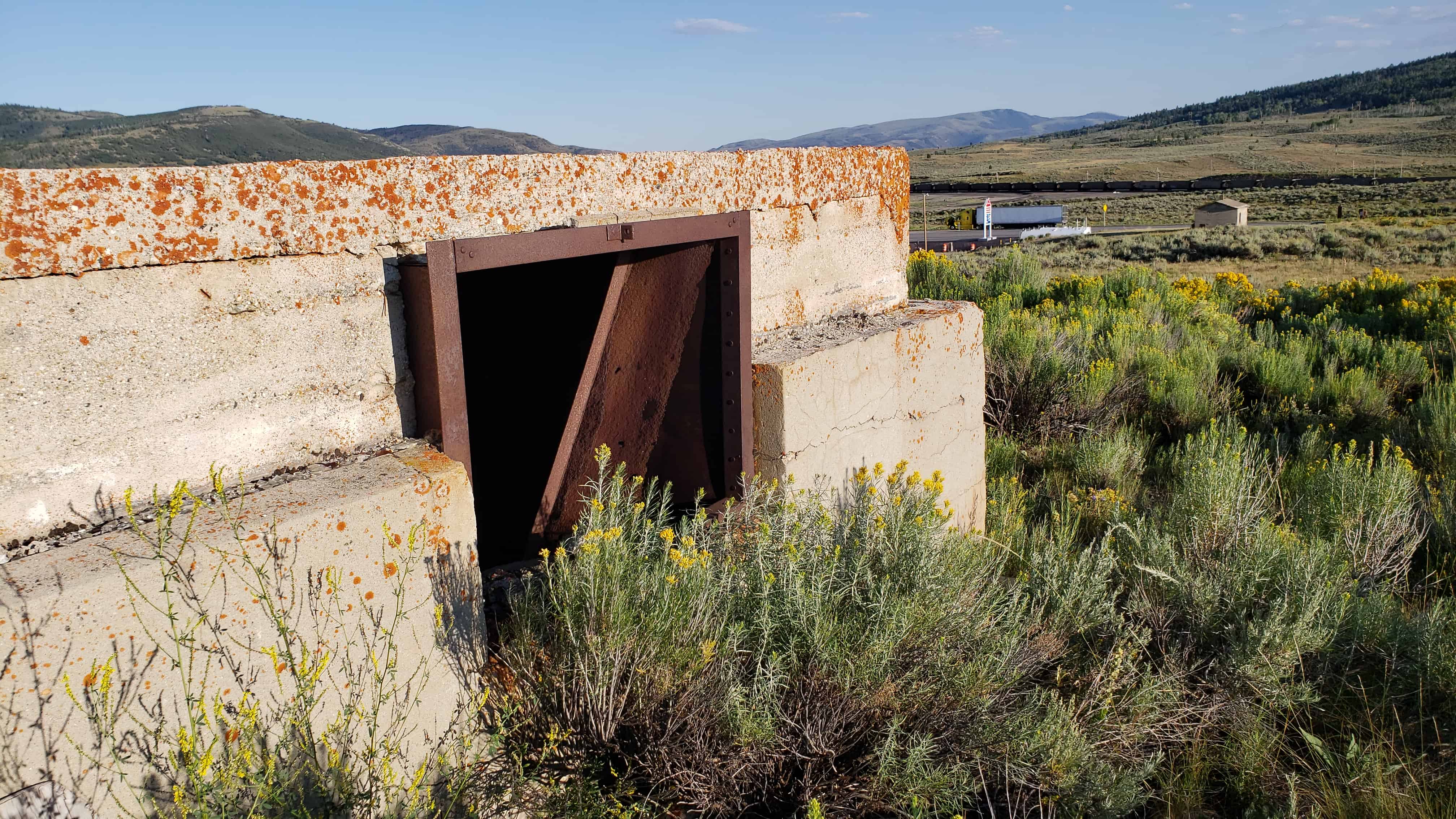
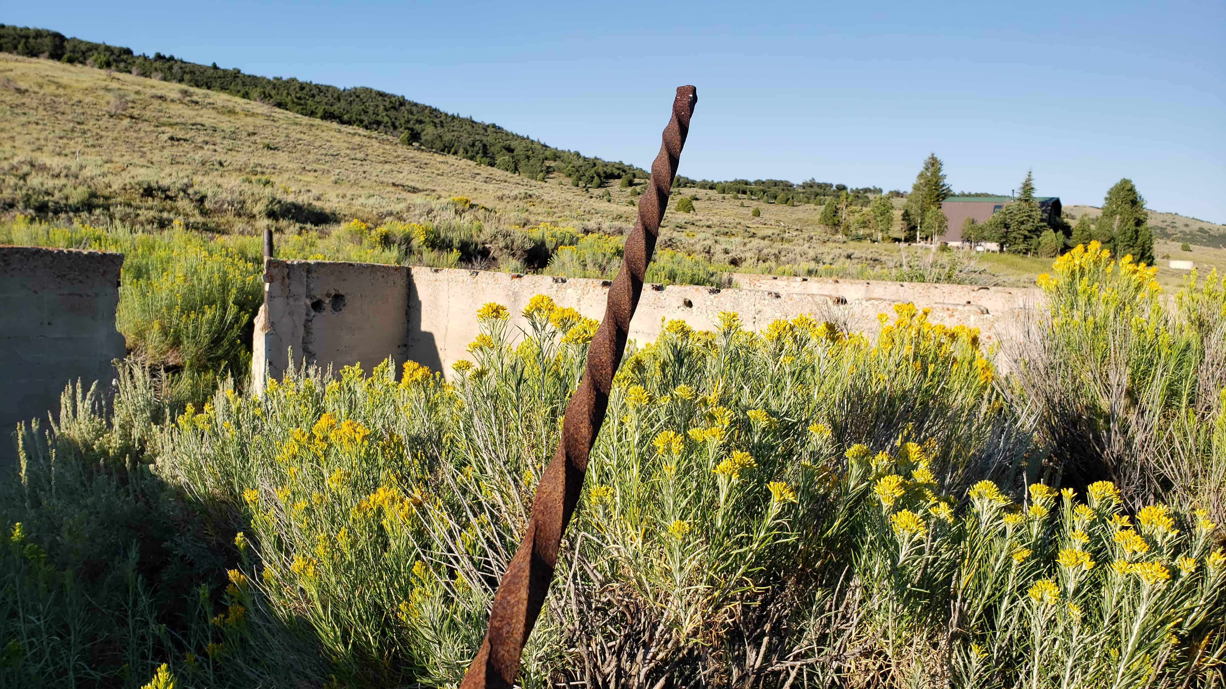
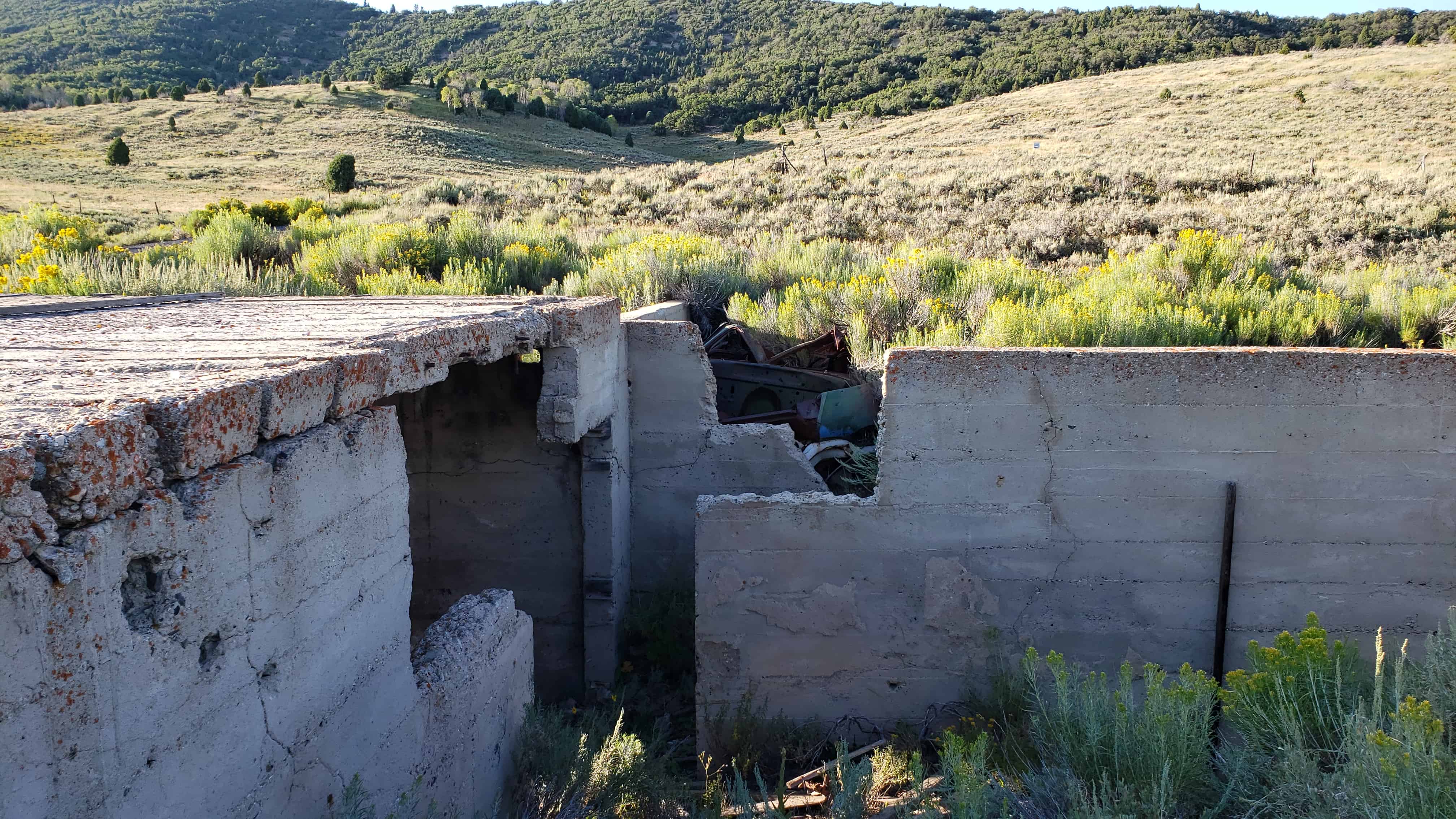
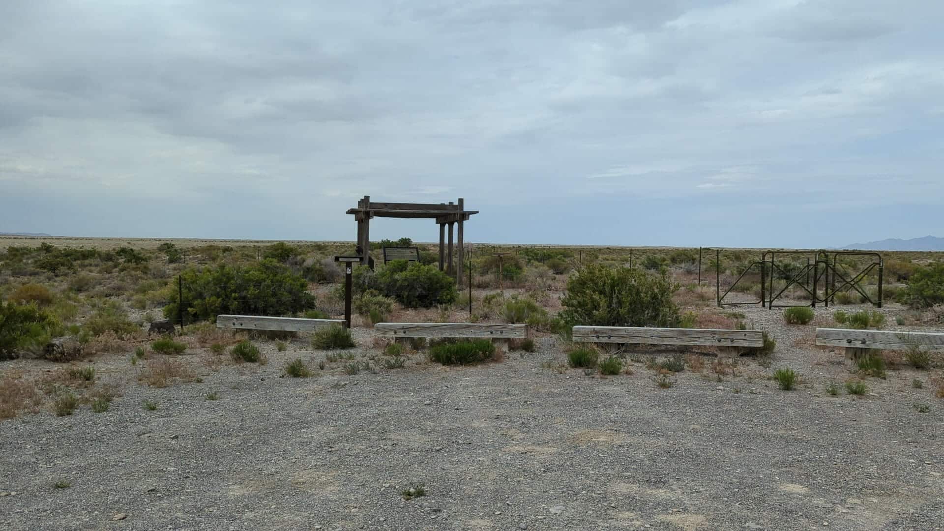
This stabilized fortification, known in modern times as Round Station, was built in 1863 to serve the Overland Stage. It was probably the third incarnation of Canyon Station, the first two having been burned by Indians. The ruin at Round Station is that of a structure probably used for defense, and the foundation of the station is visible to the south and east across the parking lot. The interpretation is the product of a cooperative agreement among the BLM, National Park Service, and the Utah Division of the National Pony Express Association.
Of the canyon ahead, now called Overland Canyon, Burton observed: “Nothing, certainly, could be better fitted for an ambuscade than this gorge, with its caves and holes in snow cuts, earth-drops, and lines of strata, like walls of rudely piled stone; in one place we saw the ashes of an Indian encampment; in another a whirlwind, curling, as smoke would rise, from behind a projecting spur, made us advance with the greatest caution.”
(*)Information provided by Patrick Hearty, NPEA Utah, 2005.
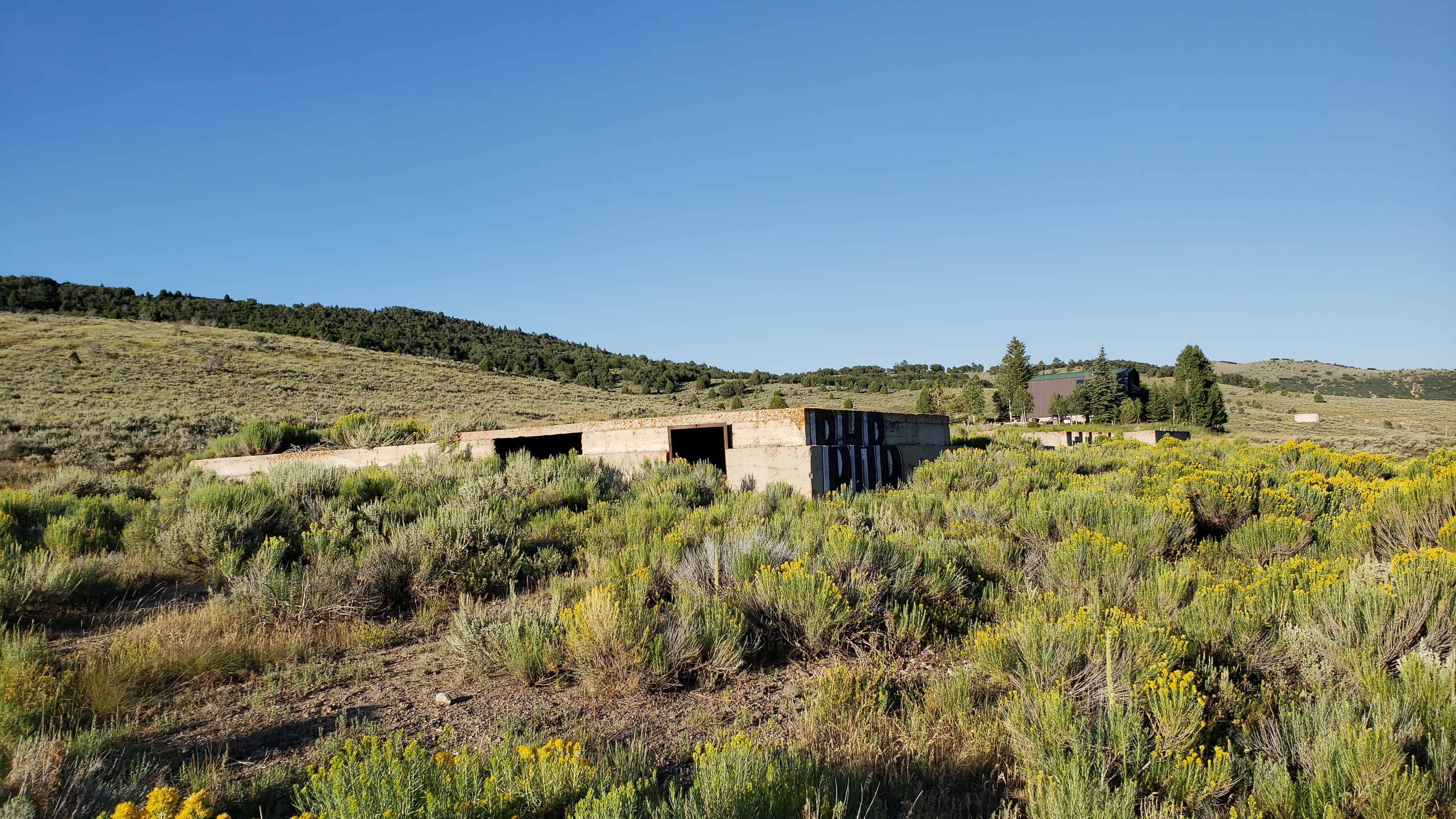
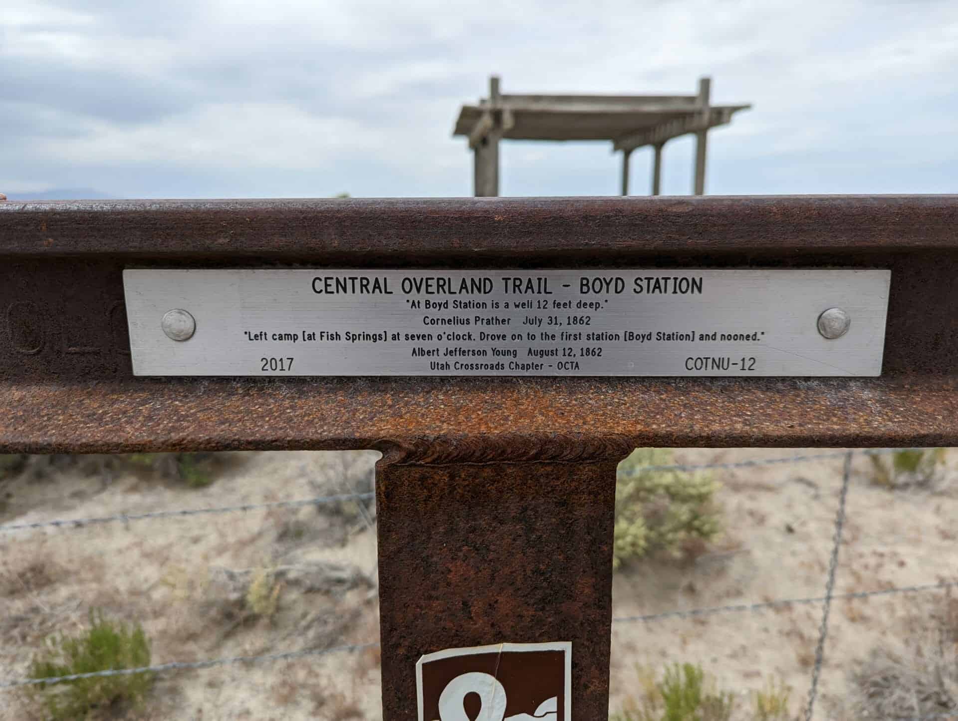
Boyd Station Also known as, Desert Station, Boyd’s Station and Boyd’s Half-Way House
There is a very well preserved ruin of the station located here, fenced off and maintained by the BLM. The station was named for George Washington Boyd who built it in 1855 and lived there until after 1900, reportedly enjoying the solitude. He died in Salt Lake City in 1903.
This location is the site of Utah Pioneer Trails and Landmarks Association historic marker #92 which is no longer here (I did see a picture of the plaque in a museum and would like to find out where it is) and also Utah Crossroads Chapter – OCTA’s historic marker #COTNU-12.
“Left camp [at Fish Springs] at seven o’clock. Drove on to the first station [Boyd Station] and nooned.”
Albert Jefferson Young, August 12, 1862
Unsung Heroes
Strategically placed relay stations across the western frontier proved to be a major contributing factor to the early success of the Pony Express mail service. “Station Keepers” assigned to these outposts readied swift horses, fresh and rested, for each rider. Often working in pairs, day and night they kept a vigil for incoming riders.
Life for the brave men at these station covered a broad spectrum of living conditions depending upon location and situation. Home station were generally better established and more accommodating, even luxurious by some standards. Remote relay stations, especially in the West, were often exceedingly primitive.
In St. Joseph, Missouri, Patee House was one of the most luxurious hostelries on the frontier. This four story brick building, which is still standing, was well known for its social life and gala balls and parties. Smith Hotel in Seneca, KS, and the Salt Lake House in Utah, were other prominent hotels which served as comfortable home stations for riders and company personnel.
West of Salt Lake City and across the Great Basin to California, accommodations and quality of life tended to go downhill. Hot, dry summers and bitter, cold winters often were the only companions for station keepers. On other days, loneliness and idle time were interlaced by fending off horse thieves and Indian attacks. Frequently exposed to danger, many lost their lives in this daring American enterprise.
Though the Pony Express has become a romanticized legend in American history, the station keepers – those who kept the horse waiting and bid “Godspeed” to the rider as he galloped away – are the true unsung heroes of the Pony Express.
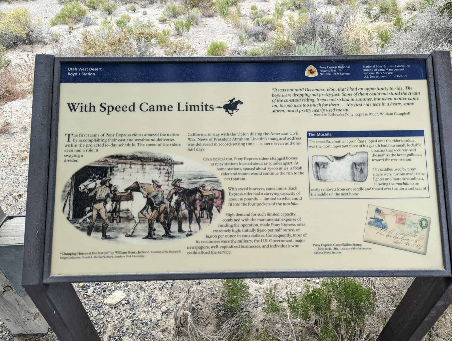
With Speed Came Limits
The first teams of Pony Express riders amazed the nation by accomplishing their east and westbound deliveries within the projected 10-day schedule. The speed of the riders even had a role in swaying a divided California to stay with the Union during the American Civil War. News of President Abraham Lincoln’s inaugural address was delivered in record-setting time – a new seven and one-half days.
On a typical run, Pony Express riders changed horses at relay stations located about 12-15 miles apart. At home stations, spaced about 75-100 miles, a fresh rider and mount would continue the run to the next station.
With speed however, came limits. Each Express rider had a carrying capacity of about 10 pounds – limited to what could fit into the four pockets of the mochila.
High demand for such limited capacity, combined with the monumental expense of finding the operation, made Pony Express rates extremely high: initially $5.00 per half ounce, or $1,000 per ounce in 2002 dollars. Consequently, most of its customers were the military, the U. S. Government, major newspapers, well-capitalized businesses, and individuals who could afford the service.
“It was not until December, 1860, that I had an opportunity to ride. The boys were dropping out pretty fast. Some of them could not stand the strain of the constant riding. It was not so bad in summer, but when winter came on, the job was too much for them. . . My first ride was in a heavy snow storm, and it pretty nearly used me up.” – Western Nebraska Pony Express Rider, William Campbell
The Crowds Cheered On…
In 1845, it took six months to get a message from the east coast of the United States to California. By the time it arrived, the news was old. In the late 1850s, a half million people had migrated west, and they wanted up-to-date news from home. Something had to be done to deliver mail faster and to improve communication in the expanding nation.
“The Central Overland California and Pikes Peak Express Company,” a subsidiary of Russell, Majors, and Waddell, announced the formation of the Pony Express on January 27, 1860. They planned to carry letter mail between St. Joseph, Missouri and Sacramento, California in only ten days. Although the Pony Express was a financially risky enterprise, the company hoped to attract a lucrative contract with the U.S. Postal Service.
Knowing that a healthy horse could run at a full gallop for only 10 to 12 miles, the Pony Express needed stations for its riders to change mounts. They utilized existing stage stations on the eastern end of the route, but needed to build many new station in remote areas across the Great Basin. Alexander Majors said that 400 to 500 mustang horses were purchased, 200 men were hired to manage the station, and 80 riders signed on to begin the run of the Pony Express.
Although the Pony Express captured the admiration, imagination, and hearts of people, it was a financial disaster for its founders. The Pony era, however, was not brought to an end by its financial failure, weather, or even problems with Indians – but by the completion of the Transcontinental Telegraph on October 26, 1861.
“Every neck is stretched, and every eye stained… Across the endless prairie a black spec appears… In a second or two it becomes a horse and rider, rising and falling, rising and falling – sweeping toward us – growing more and more distinct, and the flutter of hoofs comes faintly to the ear – another instant a whoop and a hurrah from our upper deck, a wave of the rider’s hand, but no reply, and man and horse burst past our excited faces, and go winging away like belated fragment of a storm.” – Mark Twain – Roughing It, 1872.
Desert View Watchtower, also known as the Indian Watchtower at Desert View, is a 70-foot-high stone building located on the South Rim of the Grand Canyon within Grand Canyon National Park in Arizona, United States. The tower is located at Desert View, more than 20 miles to the east of the main developed area at Grand Canyon Village, toward the east entrance to the park. The four-story structure, completed in 1932, was designed by American architect Mary Colter, an employee of the Fred Harvey Company who also created and designed many other buildings in the Grand Canyon vicinity including Hermit’s Rest and the Lookout Studio. The interior contains murals by Fred Kabotie.
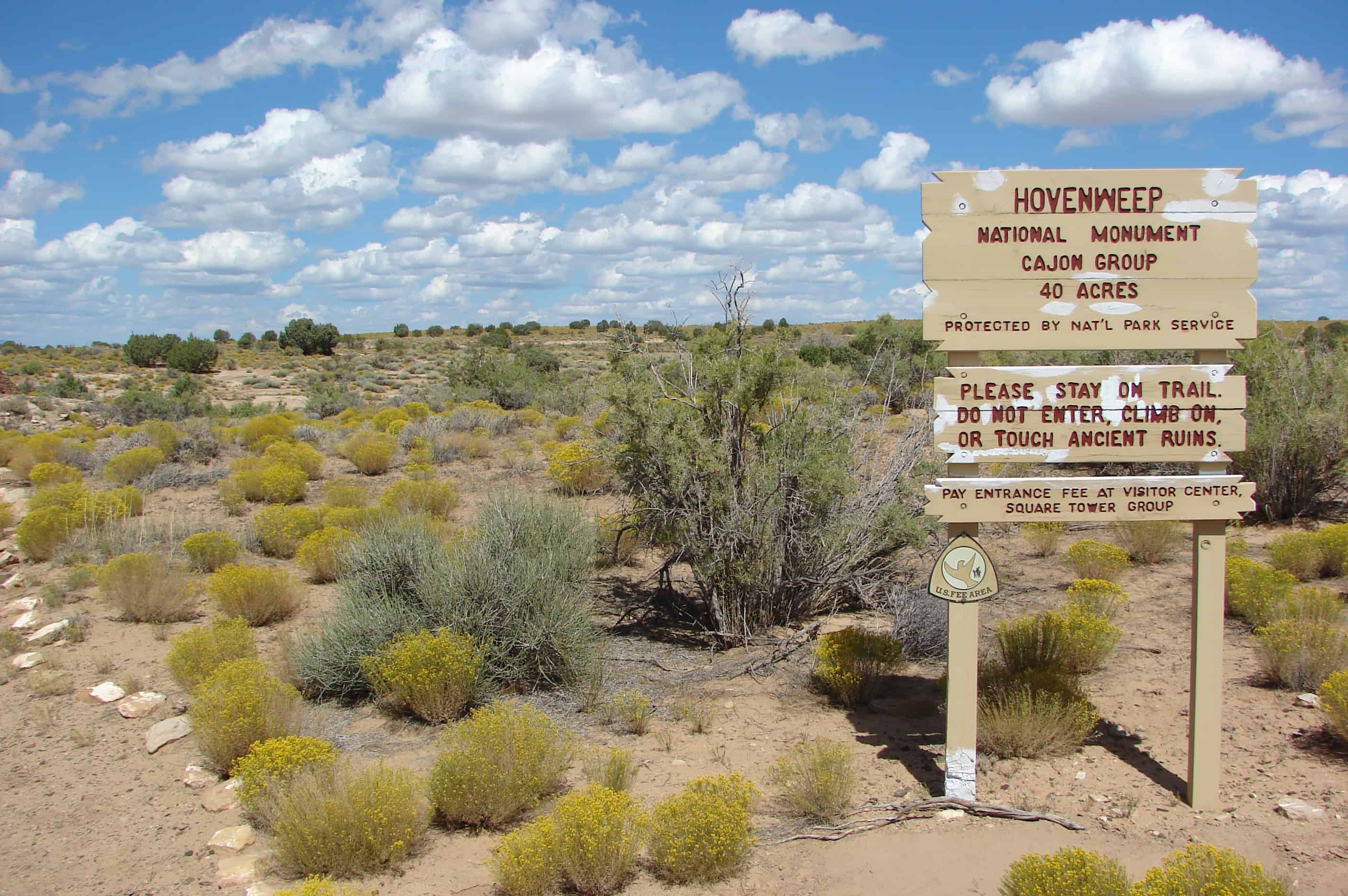
President Warren G. Harding proclaimed Hovenweep a National Monument on March 2, 1923, which is administered by the National Park Service. On October 15, 1966 the National Monument was listed on the National Register of Historic Places.