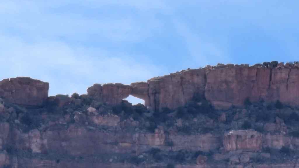
Mormon Pioneers of San Juan Valley crossed the Colorado River at “Hole-In-The-Rock” January 26, 1880. Twenty-six wagons were lowered over the cliff that day. A total of 250 persons were in the party. All made the perilous descent and ferried the river here.
This is Utah Pioneer Trails and Landmarks Association Historic Marker #81 (UPTLA Markers were later adopted by the Sons of Utah Pioneers) located at Hole-In-The-Rock, Utah.
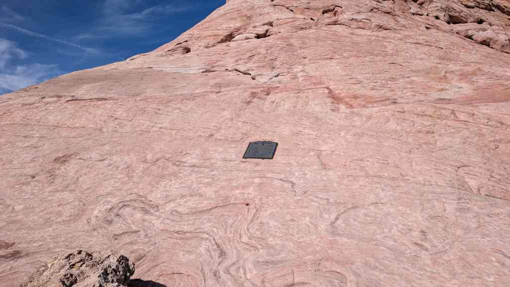
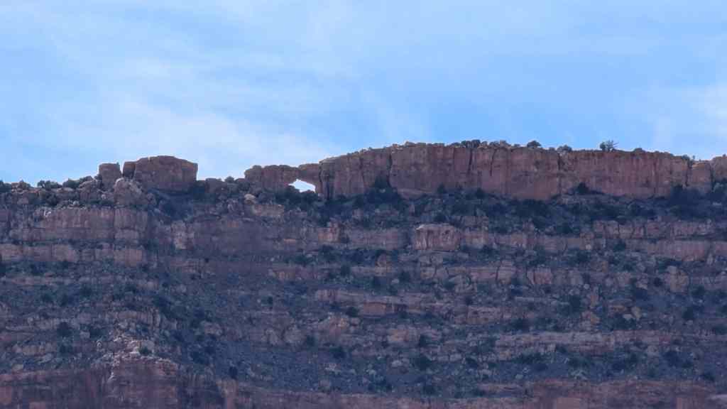
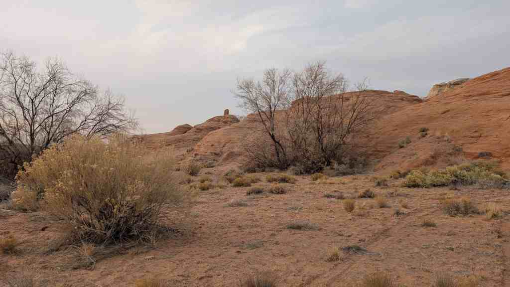
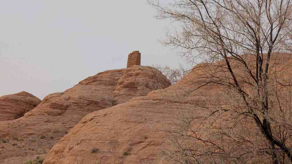
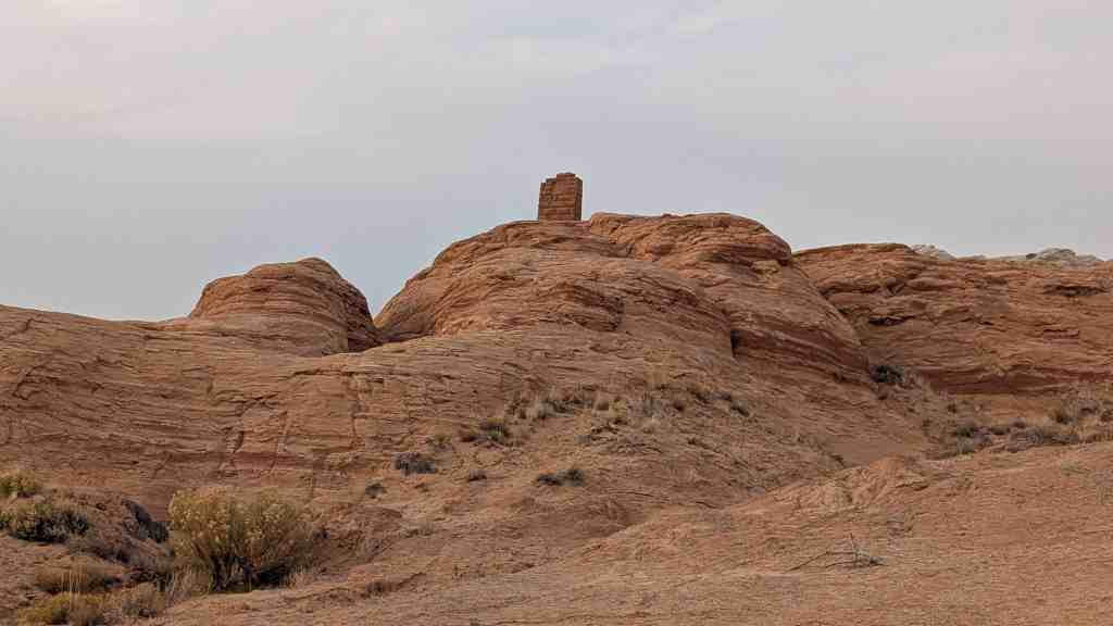
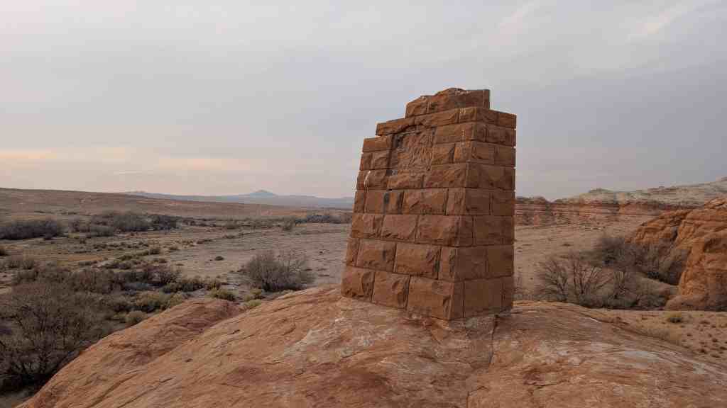
The naming of this arch honors the historic trek of the Mormon Pioneers called by Brigham Young to colonize San Juan County in 1879-1880.
This is Utah Pioneer Trails and Landmarks Association historic marker #132 (see other UPTLA markers here), located along Hole-in-the-Rock Trail in Kane County, Utah.
Chief Tuba, member of the water and corn clan, who served as scout of Kit Carson’s U.S. Expedition in 1865, was born about 1810, and died about 1887. Mormon Missionaries who visited the Indian villages of northern Arizona as early as 1858 converted him to their religion. Later, with his wife, Cocheneman, he spent a year in Utah. In 1875, Tuba gave the spring and the land upon which Tuba City stands. To the Mormon Pioneers in return for protection from his enemies. He frequently expressed gratitude for the strong friendship which developed between his people and the Mormons.
This is Utah Pioneer Trails and Landmarks Association historic marker #96 (see other UPTLA markers here), located in Tuba City, Arizona.
Pony Express – 1860-61 St. Joseph, Missouri – Sacramento, California Also Overland Stage & Freight Route 1858-1868
Note: The above is a replica of the marker placed c. 1947. However, no records prior to 1862 show a station here. This includes the 1861 Pony Express schedule. In 1862, this new station was built by the Central Overland Stage & Freight and used by others.
This monument was constructed by enrollees, U. S. Grazing Division, C. C. C. Camp G-154, Company 2517 in 1941 and sponsored by the Utah Pioneer Trails and Landmarks Association (#98 of their monuments) it was later adopted by the Sons of Utah Pioneers (#240 of their monuments) and rededicated in 2017.
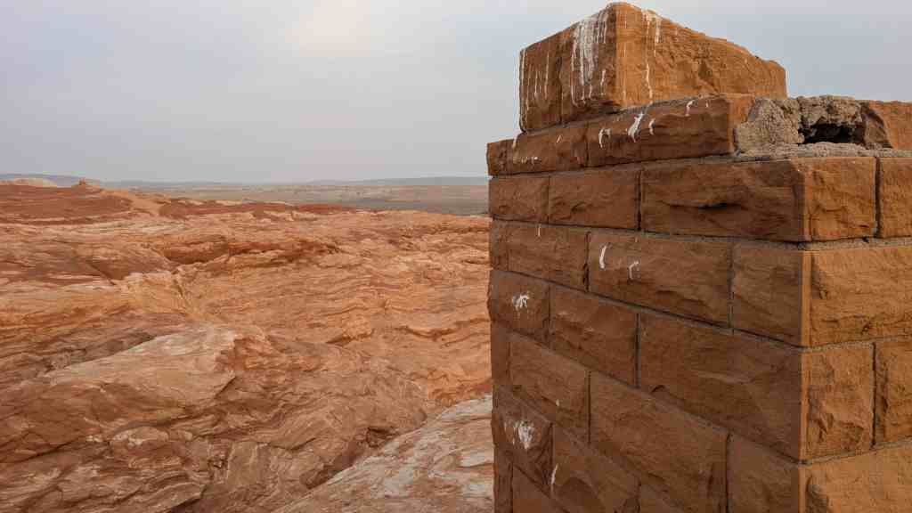
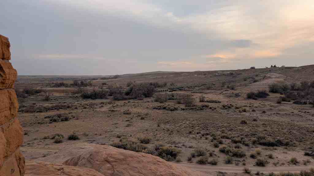
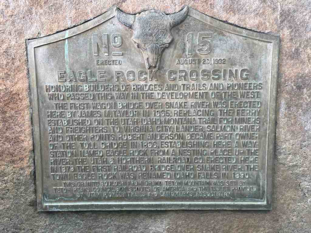
Honoring builders of bridges and trails and pioneers who passed this way in the development of the West.
The first wagon bridge over Snake River was erected here by James M. Taylor in 1865 replacing the ferry established on the Utah-Idaho-Montana trail for miners and freighters to Virginia City, Lander, Salmon River and other points. Robert Anderson became part owner of the toll bridge in 1866, establishing here a way station named Eagle Rock from a nesting place up the river. The Utah & Northern Railroad Co. erected here in 1879 the first railroad bridge over Snake River. The town Eagle Rock was renamed Idaho Falls in 1890.
This granite boulder from Grand Teton mountain was set by Teton Peaks Council, Boy Scouts of America and the tablet provided by Utah Pioneer Trails and Landmarks Association
The above text is from Utah Pioneer Trails and Landmarks Association marker #15 erected August 26, 1932 in Idaho Falls, Idaho.
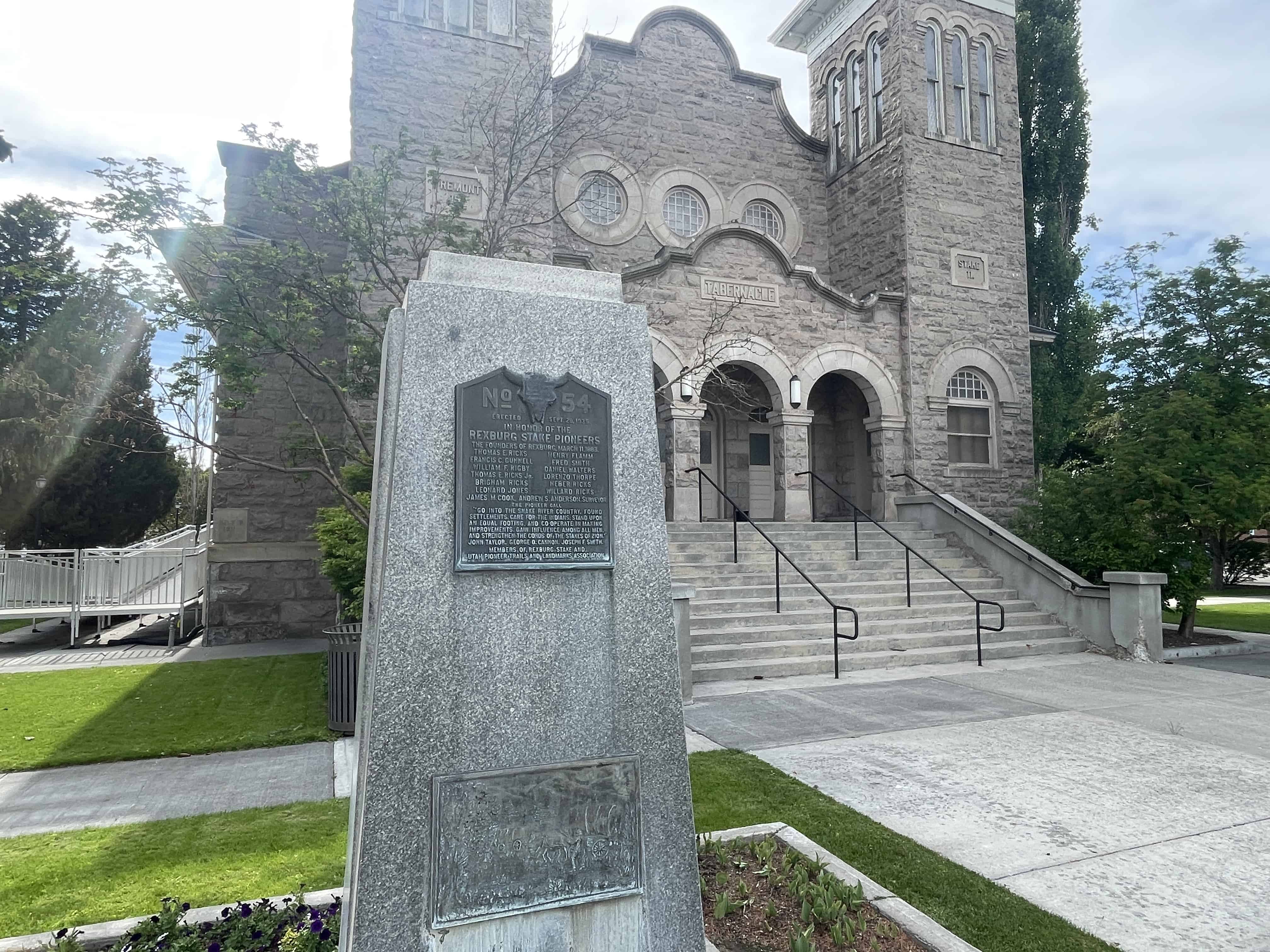
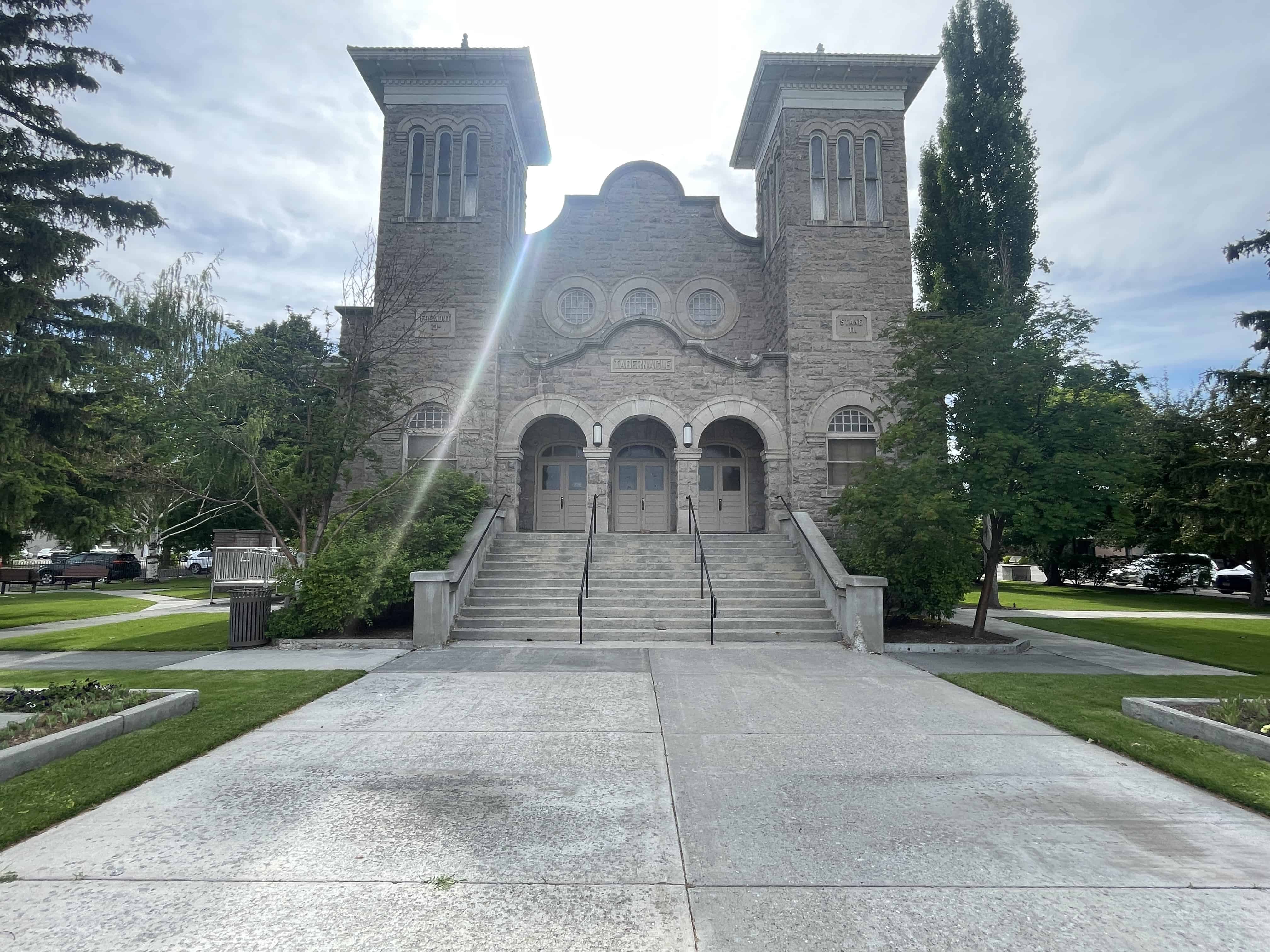
Erected Sept. 28, 1935 In honor of the Rexburg Stake Pioneers The founders of Rexburg, March 11, 1883
Thomas E. Ricks
Henry Flamm
Francis C. Gunnell
Fred Smith
William F. Rigby
Daniel Walters
Thomas E. Ricks, Jr.
Lorenzo Thorpe
Brigham Ricks
Heber Ricks
Leonard Jones
Willard Ricks
James M. Cook
Andrew S. Anderson, Surveyor
The Pioneer Call “Go into the Snake River Country, found settlements, care for the Indians, stand upon and equal footing, and Co-operate in making improvements. Gain influence among all men, and strengthen the cords of the Stakes of Zion.”
John Taylor, George Q. Cannon, Joseph F. Smith
The above text is from the monument, Utah Pioneer Trails and Landmarks Association #54 which was erected in 1935 and is located at 51 North Center Street at the Rexburg Tabernacle in Rexburg, Idaho in Madison County. The UPTLA historic markers were later adopted by the Sons of Utah Pioneers.
First habitation in this region was built by Nathaniel J. Wyeth on Snake River 14 miles west of this monument July 15, 1834 and named for Henry Hall, senior member of Wyeth’s firm.
The original stockade, 80 feet square was purchased by Hudson’s Bay Company in 1937 and rebuilt with adobe walls and substantial roofs becoming an important station of the California Oregon Trail. The trappers abandoned it about 1855.
The above text is from the monument, Utah Pioneer Trails and Landmarks Association #11 which was erected in 1932 and is located on Highway 91 in Fort Hall, Idaho in Bingham County. The UPTLA historic markers were later adopted by the Sons of Utah Pioneers.
The Indian Mission Call: Issued by Brigham Young to 27 elders of the Church of Jesus Christ of Latter-Day Saints (Mormon) at Salt Lake City, April 6 1855.
“Go into the Salmon River Country, Oregon Territory. Many tribes converge upon that area to fish and hunt. Choose an appropriate location and found a mission. Teach them the arts of husbandry and peace according to our gospel plan.”
The Journey: These Idaho Pioneers trailed 380 miles in 22 days with 11 wagons, 46 oxen, 7 horses, & much cattle. Roads were mostly non-existent.
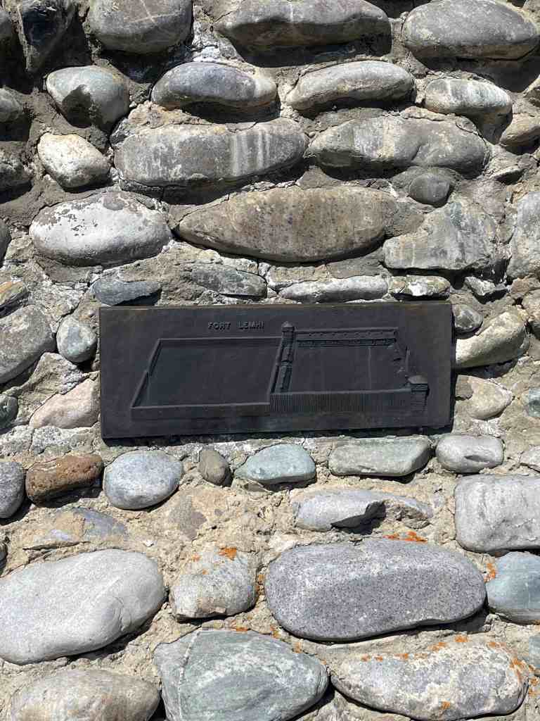
Fort Lemhi: Site of the first irrigation project in the Great Northwest. Established June 18 1855. The fort had two sections: a timber stockade 16 rods square which surrounded 25 cabins: a Spanish wall (mud) stock enclosure the same size.
Brigham Young and 142 people visited and approved the mission in May 1857. New settlers followed, making a total population in excess of 100 souls. About 100 Indians were converted.
Indian raids on the mission and its abandonment in March 1858, were due to the influence of Johnston’s Army encamped at Fort Bridger.
Killed: William Bailey Lake, James Miller, George McBride
Wounded: Andrew Quigley, Oliver Robinson, Lewis W. Shurtliff, Thomas Smith, Fountain Welch.
This historic marker is #116 in a series by the Utah Pioneer Trails and Landmarks Association (see those here), which was adopted by the Sons of Utah Pioneers (see those here).
Fort Henry was built in the fall of 1810 by Captain Andrew Henry and his companions of the Missouri Fur Company, about five miles below here on the left bank of this stream (Henry’s Fork of Snake River), first buildings erected by Americans in the present state of Idaho. It was abandoned in the spring of 1811 but was occupied in October of that year by Wilson Price Hunt and the overland Astorians, who left their horses, built canoes and sought to continue their journey by water to Astoria. The water journey ended at Cauldon Linn on the Snake River near the site of Milner Dam. The party proceeded on foot, ariving at Astoria Feb. 15, 1812.
This historic marker is #10 in a series by the Utah Pioneer Trails and Landmarks Association (see those here), which was adopted by the Sons of Utah Pioneers (see those here).
Daughters of Utah Pioneers historic marker #70 is also located here, 200 South Bridge Street in St Anthony, Idaho.