The Provo Downtown Historic District was added to the National Historic Register (#80003980) on May 1, 1980.
Related posts:
The text below is from the nomination form for the National Historic Register:
A central business district conveys the image for a city. The Provo Downtown, Historic District’s “attractive and substantial buildings,” built bylocal craftsmen and builders, reflect business and building booms in the cityin the 1880’s, 1900’s and 1950’s. The structures document the history of thearea and its residents, some prominent (T.N. Taylor, Jesse Knight, O.K. Berg, Alex Hedquist, Ercanbach and Sons, and the Hoover Brothers), some infamous (S.S. Jones, Russel S. Hines), some obscure. The buildings remain as resources to exploit for their visual beauty, style, craftsmanship and as reminders of the past out of which the present is created.
Following Provo’s development in the 1850’s of a commercial center at the corner of 5th West Street and Center Street, business activity moved east to the present Downtown Historic District in the late 19th Century. The earlies buildings in the District, two-story brick Victorian commercial structures, date from the late 1870’s and the 1880’s, the documents of a boom in the rich Tintic mining district to the west. Other commercial and public structures, one to three stories tall in the Victorian, Renaissance and Classical Revival styles, illustrate eras of business prosperity in the 1900’s. Buildings from the 1950’s and 60’s, along with extensive “modernization” of most of the earlier structures, reflects the development of the nearby Geneva Steel mills and the rapid expansion of Provo’s Brigham Young University in the period.
Provo’s downtown historic district is one of the two or three most intact and architecturally significant Main Streets of Utah’s middle-sized cities. Provo’s commercial district is probably the most architecturally legible of these. While most of Utah’s Main Streets developed loosely around a central block with a Mormon tabernacle as the focal point, Provo’s commercial district presents a very distinctive “crossroads” at the intersection of Center and University Streets. Two large Victorian commercial blocks, one with a clock tower, mark the two northern corners of the intersection, the Classical Revival City and County Building and the Gothic Revival Provo Tabernacle (National Register) prominently occupy the southeast and southwest corners. Almost a dozen of the commercial structures on the north side of Center Street are now owned by a partnership who have announced plans to renovate the buildings and restore the facades.
The History:
In March 1849, John S. Highbee led a company of about 150 persons, bringing their goods, cattle, equipment and provisions into the Utah Valley. They formed the nucleus of the tour of Provo City. The company had been sent by Brigham Young, President of the L.D.S. (Mormon) Church, and as part of an effort to secure a territory in which to establish a theocratic hegemony.
In keeping with the ideals of Jeffersonion agrarianism which infused Mormon philosophy and practice, and the necessities of producing food and feed, Provo was surveyed (1850) as a plot one mile square surrounded by several acres of land put into eight lots. This grid pattern was the “Plat of Zion” pattern used repeatedly by the Mormon settlers.
Brigham Young had instructed the settlers, particularly the church and city officials, to establish their homes and farms in the town site. When many chose to build outside the city, those on the townsite petitioned Brigham Young (1852) to appoint church leader George A. Smith to move to Provo and regulate the affairs of Utah County. Smith did so, and with his encouragement the frontier town with its accompanying industrial and commercial enterprises began to emerge.
The first merchant in Provo was Andrew J. Stewart who operated a general store out of his home on what is now 5th West. He later moved his business into a building he had erected on what is now Center Street the street which would become the center of Provo’s commercial district.
By the end of 1852, Provo had several industries and businesses – a pottery for brown ware, two grist mills, one sash factory, three cabinet shops, one wooden bowl factory, three shoe shops, two tailor’s shops, one meat market, two store houses, and two lime kilns. The Deseret Manufacturing Company organized by John Taylor had brought in sugar refining machinery from England and had obtained land for raising sugar beets. Provo also had two hotels.
The hotels and most of the businesses were clustered at 5th West and Center Street. However, other businesses followed and established themselves east along Center Street. These two streets had been surveyed eight rods wide, with other streets five rods. As the demand for city lots increased, Plat 13 of Provo city was surveyed (1856) on the Mormon Tabernacle. It is obvious from the additional placement of the tithing yard diagonally across the street from the Tabernacle, that the city organizers planned for this east end of Center Street to be used for religious activities rather than commercial. Eventually even the county and city governmental buildings were located at this end.
However, commercial establishments did not remain clustered on the west side, but rather pushed into the east – even including on the LDS blocks. The two streets – 5th West and University – were to become the focal point of the west-east commercial development in the City and the conflicts between the west and the east side merchants which would spill over into politics.
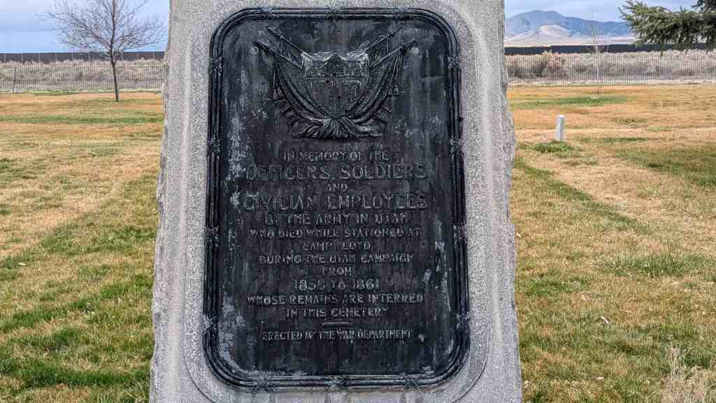
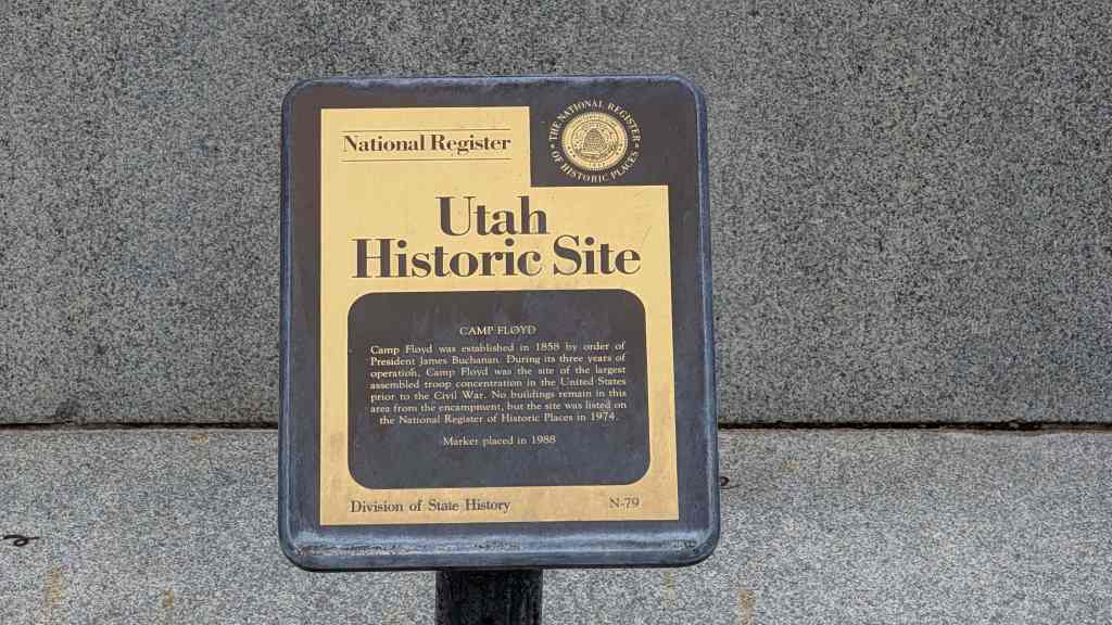
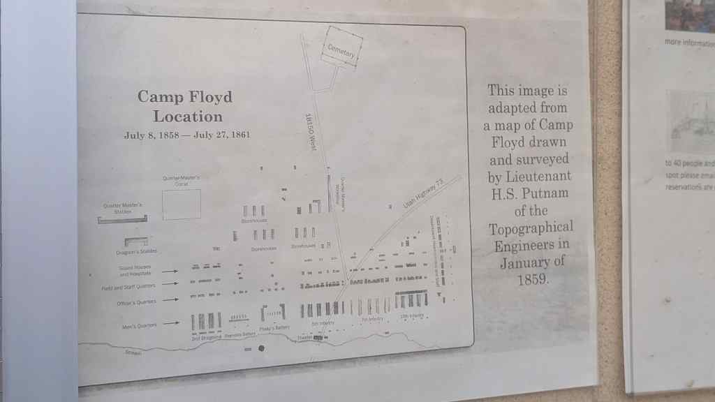
The arrival in Utah of the United States Army (1857) in an effort to control the seemingly rebellious Mormons was a stimulation to the economy of Utah and particularly Provo. The several thousand Mormons from Salt Lake City significantly, the soldiers from Camp Floyd needed materials and supplies.
When the army finally left the area in July of 1861, more than $4,000,000 worth of Government property was sold at a public auction for about $100,000.
One of the merchants who had prospered because of the residence of the soldiers was Samuel S. Jones. He had begun his mercantile business in Camp Floyd, first by making adobe bricks for the fort and then in partnership with William Daley by selling vegetables to the men. After the army left, Jones who had bought some of the government property, established a business with a Jewish merchant Benjamin Buchman.
This partnership and its later dissolution are symbolic of the sometimes cooperation, more often competition, between the Mormon and non-Mormon merchants in Provo. The competition intensified with the Mormon cooperative effort.
In a 1867 church meeting, Brigham Young exhorted the Mormons to maintain economic self-sufficiency and to trade only among themselves. He soon afterward suggested cooperative merchandising. Late in 1868, the ever enterprising S. S. Jones organized a group of Mormon merchants including David John and A. O. Smoot, at the “Provo Co-Operative Institution.” Utah’s first cooperative store – the “West Co-Op” was established on Center Street in the building built by Andrew Stewart. S. S. Jones became the manager.
A flood of “Gentile” business never did come into Provo as it did Ogden. Although Provo Canyon was examined as a possible route for the Pacific railroad, the “iron horse” found its way to Ogden rather than to Provo. After 1869, Ogden’s population and commerce increased rapidly in comparison to Provo’s. Provo, as the W.P.A. writers put it, “maintained its identity as a solid Mormon town.”9 There were non-Mormons who came to Provo. Some were successful businessmen – such as the Bee brothers whose twin buildings which housed their harness and mercantile businesses still stand. The entire Bee family – Jane Bee, Jennie Bee Jones, Fred Bee, Cal Bee – was involved in Provo commerce. Earlier than the Bee family was the Freshwater family who began business in Provo in 1871 and continued successful through the 1920’s. Samuel Schwab developed a clothing business which attracted customers from throughout the state.
There was a building boom in Provo in the late 1860’s. Several businesses – many substantial brick buildings of two or more stories – locate along Center Street. The quagmire in the street was eliminated by grading in 1865.10 The Provo Woolen Mills was begun in 1869 on a block just north of Center Street. It would become one of Provo’s major industries.
Some of the early commercial buildings in Provo were built of wood. Man} others, in accordance with advice given by Brigham Young, were made of adobe. Adobe yards were located in what is now North Park. In 1866, Philander Corton built Provo’s first kiln, and by 1874, W. Alien’s brickyard was employing ten people.11 Many of Provo’s commercial buildings built in the 1850’s boom, suet as the West Co-Op, were constructed of adobe and brick.
Samuel Liddiard established a cement business in Provo in 1865. His son – the Liddiard Brothers – continued the operation, building many of the commercial structures on Center Street. (The Cal Bee building). Later, S. H. Belvant established a stone work business (1890) examples of which are still standing (Smoot building). E. J. Ward and Sons (1889) became the Central Lumber Co. (1904), competing with the Beebe and Smooth Lumber Companies (1870). The Provo Foundry and Machine Company (1885) produced much of the heating and plumbing systems included in Provo’s buildings.
The building boom of the 1860’s included the establishment on West Center Street in 1866 of the Taylor Furniture Company.13 Members of the George Taylor family established a number of successful Provo businesses – the West Side Business District.
However, the Provo commercial district had continued to move east along Center Street, and in 1883, Samuel S. Jones erected a handsome store (demolished) on J Street, now University Avenue. The next year the first bank in Provo, the First National Bank of Provo (1882), moved into its own building just down the street from Jones. Although businesses would continue to prosper and new ones would continue to be established on West Center Street, the next years would see the shift in Provo’s Commercial District to the east. The impressive buildings on either side of University Avenue (the Excelsio, the Union Block, the Knight Block) remain as evidence of this shift.
Part of the impetus for new businesses and new buildings in the 1880’s was the spinoff from the mining boom which had been going on in the Tintic mining district since the late 1870’s. Many who made their fortunes in Tintic came to Provo and established businesses and residences, building substantial homes and often extravagant buildings. Russel S. Hines who built the Palace Drug Store and Saloon which is still standing, was but one example. The relationship between Tintic and Provo would continue as other businesses and buildings were established and built in Provo with capital made in Tintic.
Charles E. Loose used his Tintic-made fortune to buy up much of Provo’s commercial property. The Loose Block, though fairly modest, remains as part of that legacy.
Jesse Knight who attempted to establish “clean” mining towns built one of the most impressive of Provo’s buildings – the Knight Block on east center where the East Co-Op had stood in the Mormon tithing yard. He became the symbol and the power of Provo’s east-side in the way Thomas N. Taylor became that for the west side.
for the west side. In 1883, construction began on a new LDS Tabernacle on the same block as the older one, a massive structure of brick and stone. Though the structure was not completed until 1896, its beginnings were part of a new building boom.
In 1888, the Provo Enquirer ran headlines that read, “Boom, Boom, Boom.” Entrepreneurs and real estate investors from the East and the West came to Provo and began paying exorbitant prices for real estate. The Provo Chamber I of Commerce which had been organized the year before to stimulate the growth in the community, published a 50-page pamphlet describing the “Garden City” of Utah.
In 1889, the Rocky Mountain Bell Telephone Company secured a twenty-year franchise and eventually built a building on the east side. The North American Asphalt Company began paving sidewalks, North and University Avenue (then called Academy Avenue). The Provo Lake Resort was established on Utah Lake.
The “Boom” did not last long, however. During the winter of 1891-92, only a few of the new real estate dealers renewed their licenses. The national panic of 1893 further aggravated the situation. Many businesses failed including Samuel S. Jones.
There were those able to rise out of the panic. One was George Startup who began his candy business in 1895. By 1897, the business had grown so much that he and his brother Walter built a little factory on 3rd West which still remains. The large factory built in 1900 on the south side is on the National Register of Historic Places. Candy-making was a popular business in Provo at the turn of the century, with enterprises so numerous, Provo could have been called the “Candy City”, a situation made possible by the large sugar beet industry in the area.
The turn of the century saw a continuation of the West-East side controversy, a culmination in the 1905-11 fight over the location of the railroad depot and the conclusion in favor of the east side as more businesses continued to locate there and north along University Avenue.
The prominence of this section of town was even more emphasized by the building of the public library (1907, since greatly remodeled), the Provo Post Office (1909, since demolished) and finally, the replacement of the Utah County Courthouse (1873, demolished) with an impressive new City and County Building (1902-26). In 1976, Provo City Offices were moved out of this building into a new complex built on block 63, replacing the Provo High School Building and part of a reversing trend of the commercial and public interests building on the west end.
The 1920’s saw the rise of the automobile industry in Provo and brought about one of the last major changes in the commercial district, as automobile repair and service shops established themselves along the south side of Center Street replacing several residences and filling up what had been vacant land. Some of these businesses were the descendants of earlier harness and wagon businesses.
nesses. The post World War II economic boom had a major impact on the business section of Provo. With the completion of the General Steel Plant in 1946, the rapid expansion of Brigham Young University which was only recently leveled, the proliferation of new housing developments to accommodate the many new families which moved into the area, the downtown merchants responded with effort to “modernize” their buildings. These efforts, suing sheet metal and stucco, were the most destructive changes to the architectural character of the district. However, recently there is evident a realization that restoration of the architectural heritage may now be a way to revitalize the downtown whose vitality is being sapped by the development of suburban malls.
Boundaries:
The northwest corner of the Provo Downtown Historic District begins approximately 180 north of the intersection of Center Street and 300 West along the East curb of 300 West. The boundary follows east along the back property lines of the buildings facing south on Center Street (buildings 58-20) to a point at the northeast corner of building # 20 where it turns north to follow along the back property lines of buildings which face east on University Avenue (buildings 16-12).
At the northwest corner of building 12, the boundary turns east again across University Avenue to the northeast corner of building 11 where it turns south along the back property lines of buildings 11 and 10, then east along the back property lines of the buildings facing south on Center Street (building 8-1) to the west curb of 100 East where it turns south following the west to the corner of 100 East and 100 South were it turns west, following the north curb along 100 South to 100 West where it turns north along the east curb of 100 West approximately 200 feet where it turns west and follows the back property line of the buildings facing north on Center Street (buildings 76-59) to 300 West where it turns north along the east curb back to the point of beginning.
Included Sites listed here: Provo Center Street