Mt Pleasant Commercial Historic District
The Mount Pleasant Historic Commercial District is important because its well preserved, architecturally significant commercial buildings are a fascinating documentary record of the commercial vigor of rural Utah in the decades from 1890 to 1910.
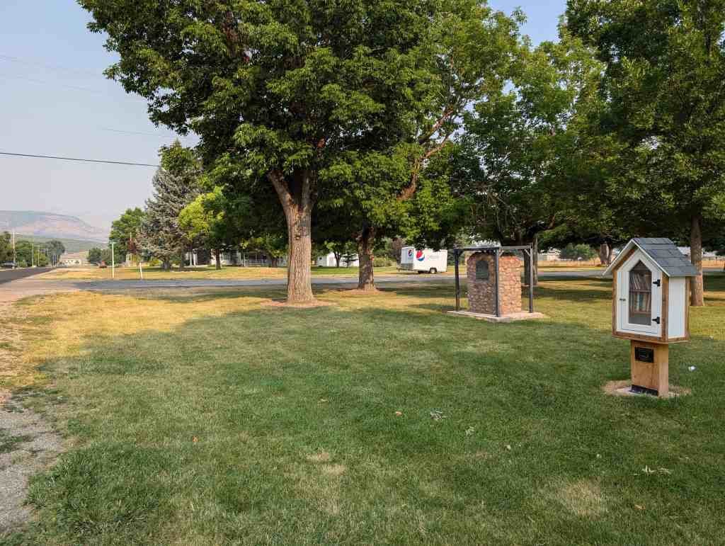
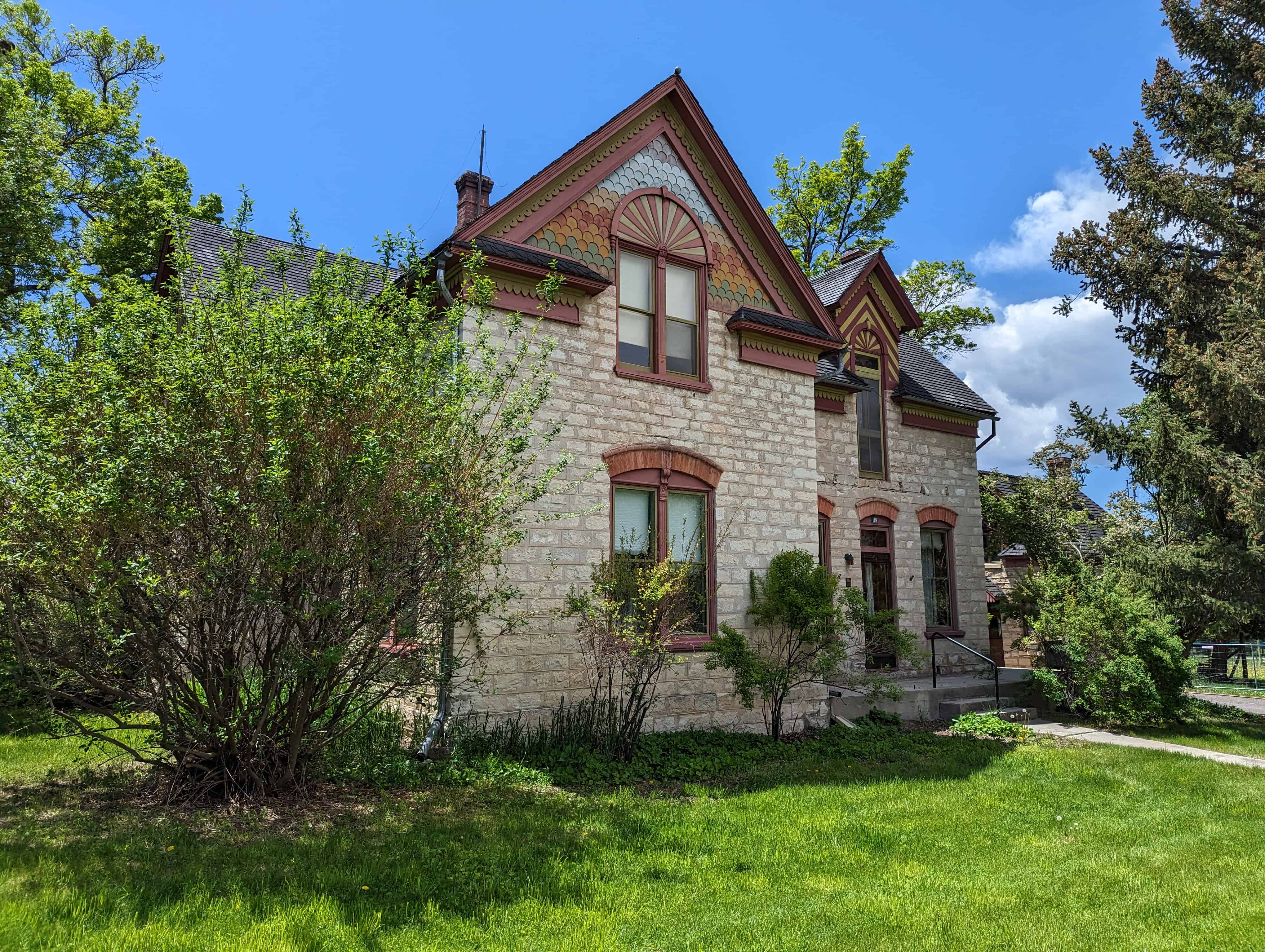
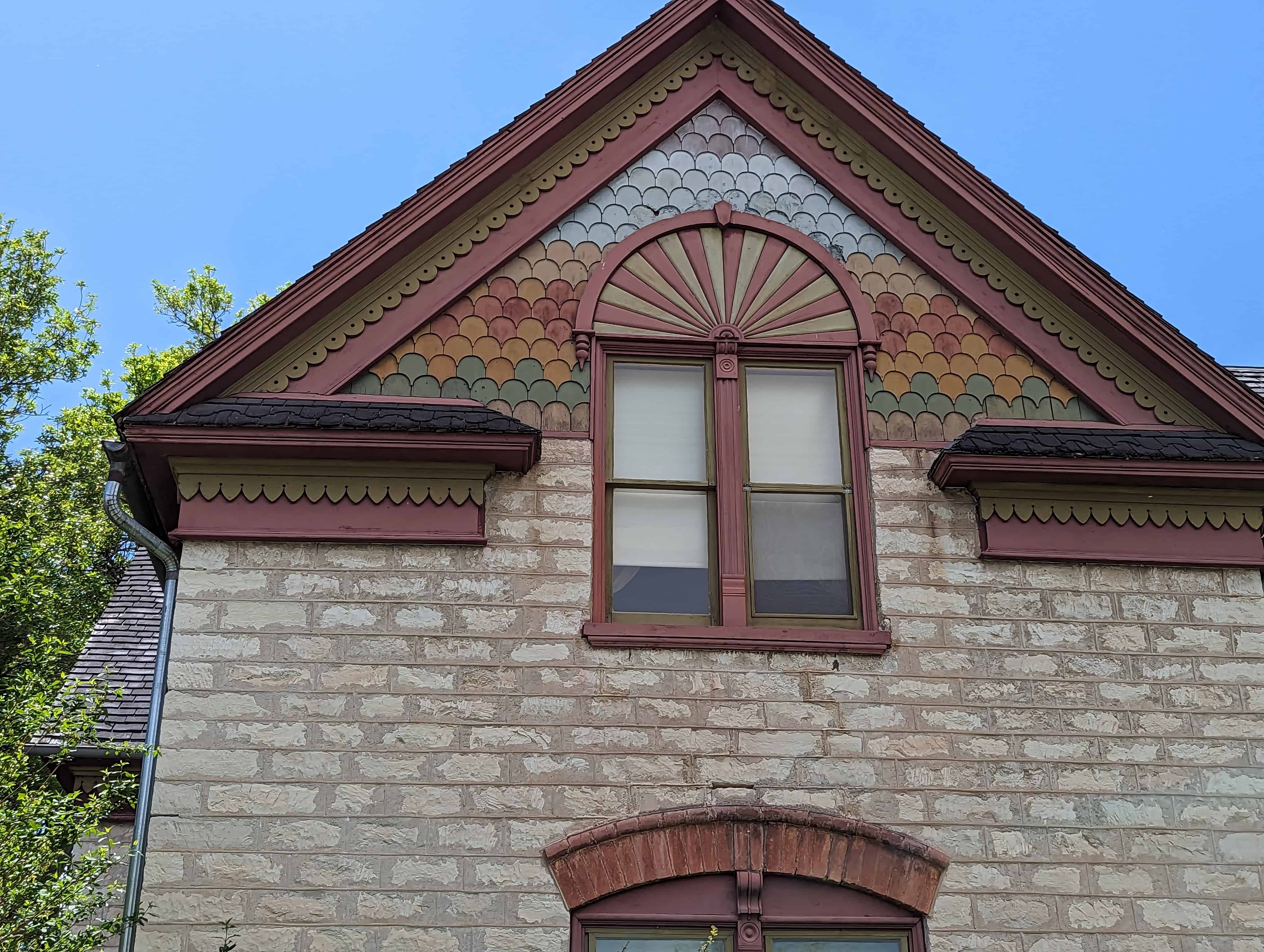
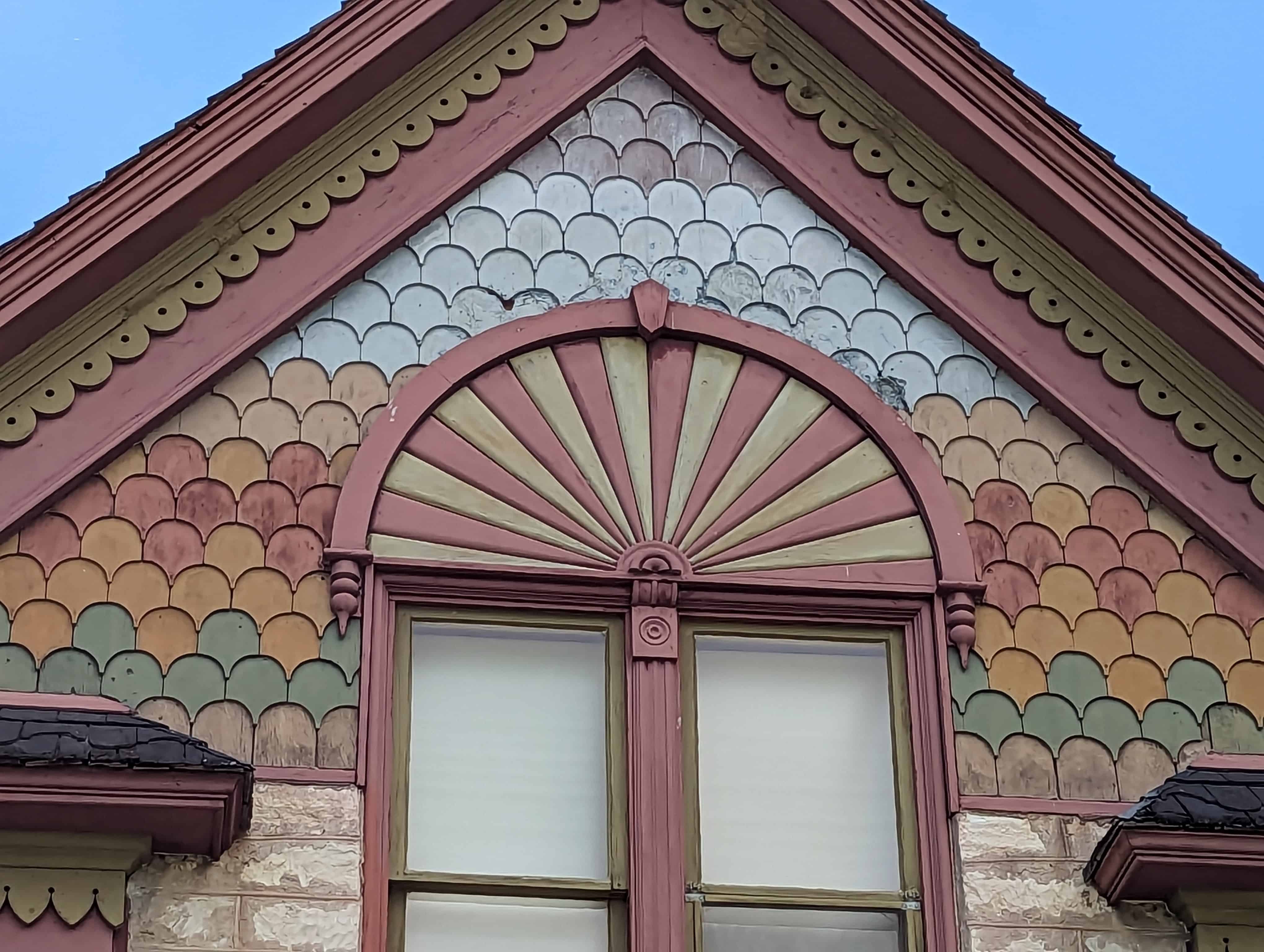
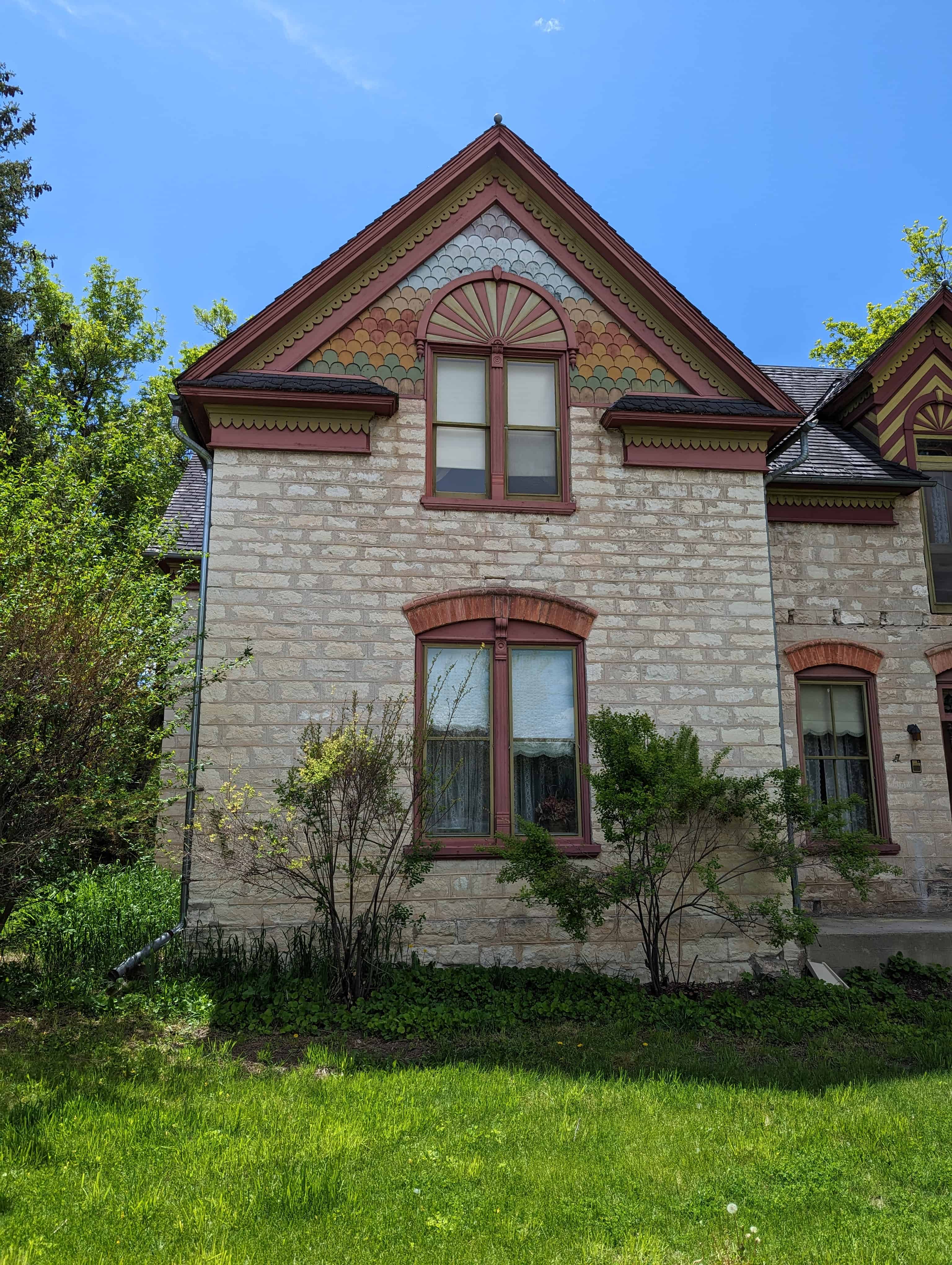
The Mt. Pleasant Historic Commercial Distict is significant as one of the two or three best preserved small town main streets in Utah. The buildings exhibit, on a modest scale, the main currents in commercial architecture during the decades from 1890 to 1910. Detailing is primarily Richardsonian, Eastlalce or Commercial style. Although a depressed economy in the county since the twenties is largely responsible for the present unaltered condition of the buildings along Main and State Streets, energy developments in Emery County to the east have resulted in a modest but noticeable growth in the town’s businesses. Interest in preserving and maintaining the turn-of-the-century architecture is reflected in a recently-passed zoning ordinance with a section on historic preservation, making Mt. Pleasant one of only three cities in Utah in 1978 to have passed a landmark ordinance (the other two are Salt Lake City and Park City).
As the center of the very prosperous sheep industry in central Utah, Mt. Pleasant became the center for both agricultural business as well as the general retail business of the area. The growth of Mt. Pleasant’s business district resulted in an unusual T-configuration rather than the simple commercial strip of buildings along the highway through town that characterizes other towns in the valley, Mt. Pleasant had long benefited from its role as an intersection on the north-south axis of the valley, and because it was connected by road with the early railheads in Wales (from 1881) and Moroni (from 1884). Business and agriculture in Mt. Pleasant markedly increased in volume and importance with the completion of their own rail link in 1890, and the immediate result was the rapid growth of the town’s Main Street.
The historic district was added to the National Register of Historic Places (#79002508) on October 26, 1979.
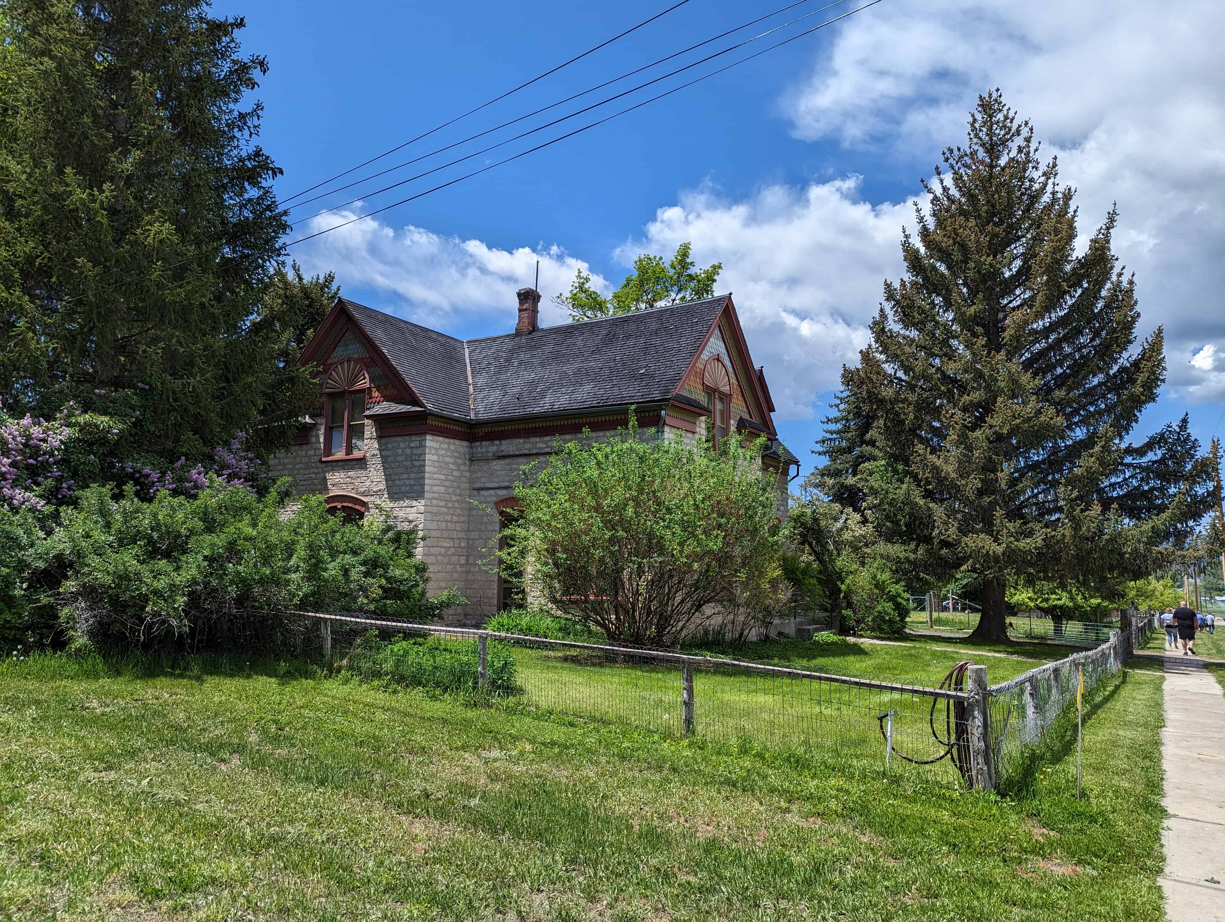
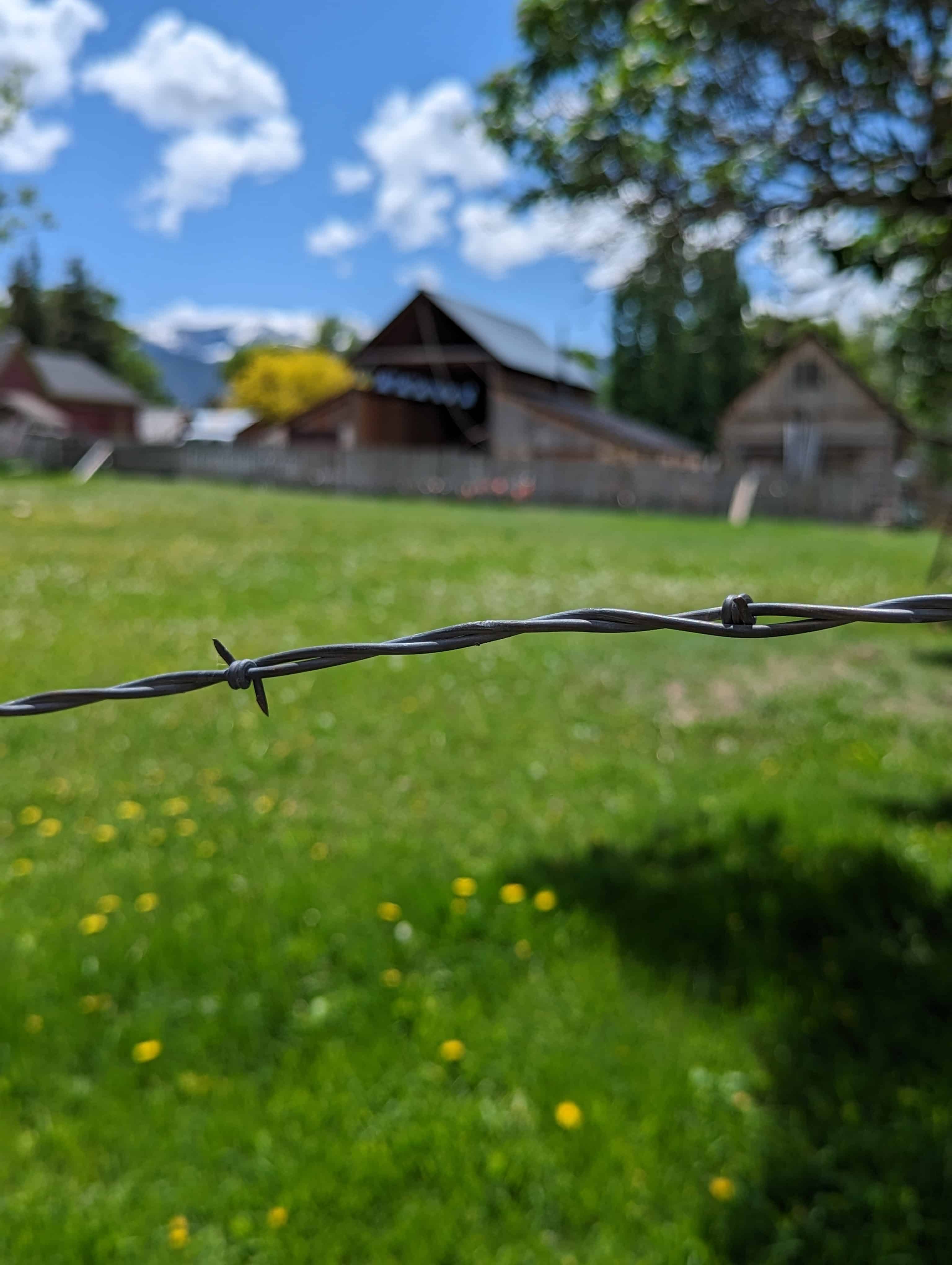
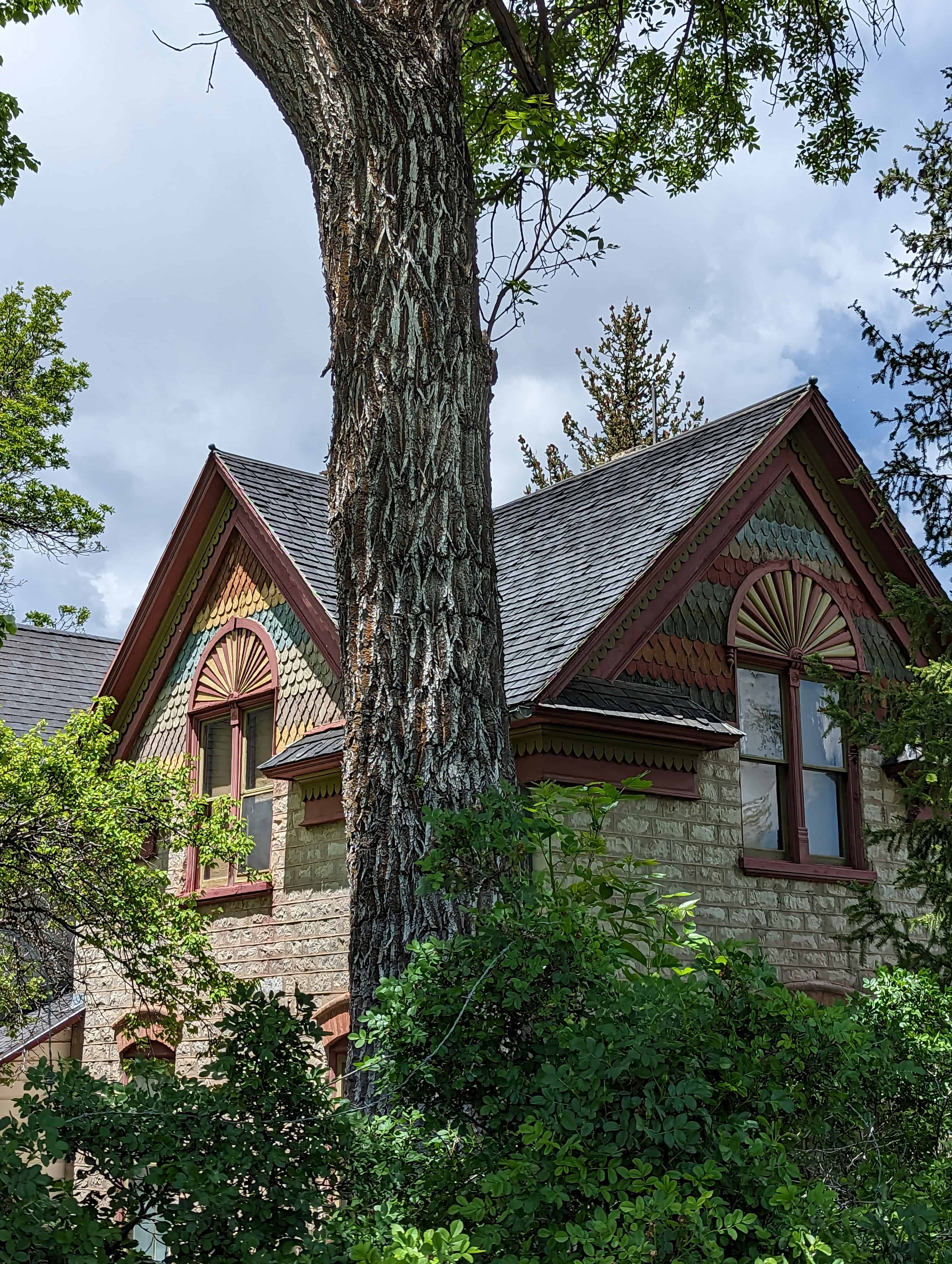
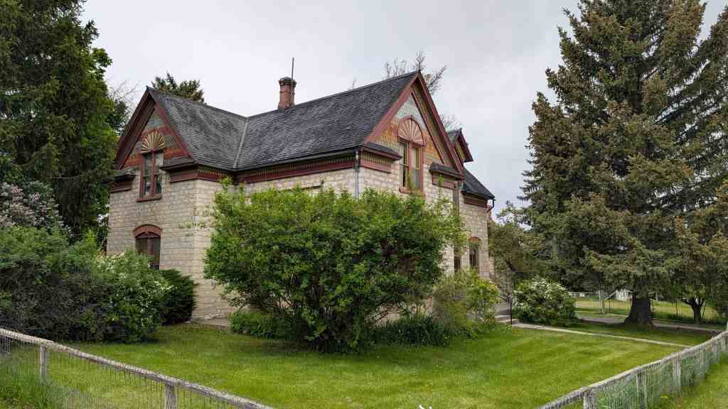
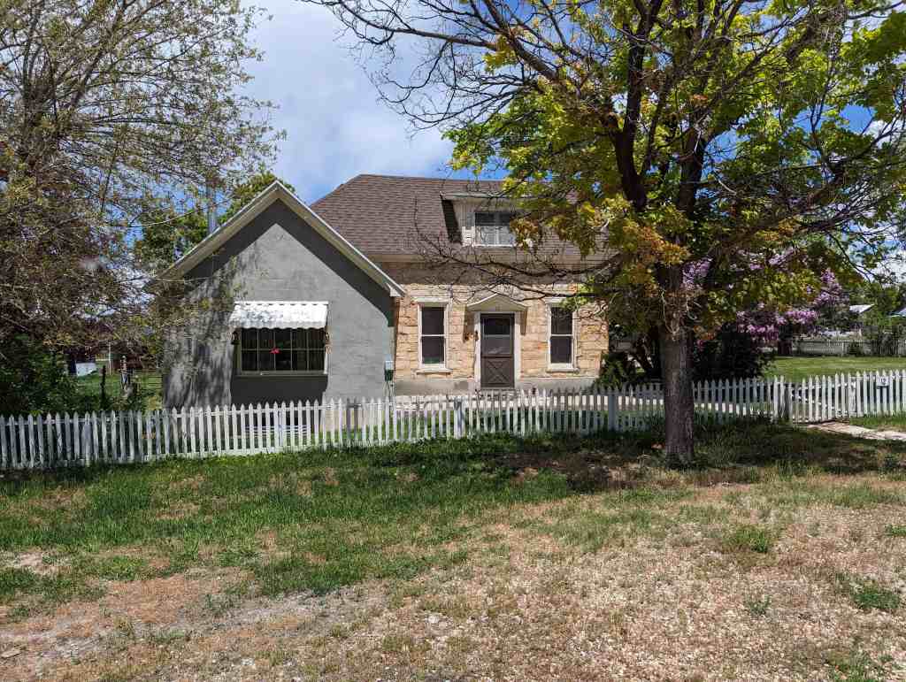
Mt. Pleasant, Utah, located 100 miles south of Salt Lake City, was initially settled in early 1852 by veteran Mormon pioneers from Manti, established in 1849 as the first Mormon settlement in the expansive San Pitch Valley of central Utah. Led by Madison D. Hambleton who erected a sawmill and built several wood cabins, the settlement of Hambleton was abandoned mil853 due to attacks from local Indians. The Indians burned the first fort but in 1859 the old townsite was resettled by Mormon converts who had emigrated from Denmark and colonized Fort Ephraim, Utah. Upon arrival at the site of the charred ruins of Hambleton, the colonists surveyed the city, laid out city blocks and farming land and commenced construction of an adobe and stone fort. Gradually, as Indian hostilities decreased, settlers began erecting log and adobe homes outside the fort on property which they had obtained by drawing lots.
The Black Hawk, War of the mid-1860s brought new threats to the settlers of Hambleton, by then renamed Pleasant Creek and later called Mt. Pleasant. As a result, in 1866 a new fort was built directly north of the old one. A third fort, which was to have completely enclosed the surveyed town, was started but never completed as hostilities between white settlers and Indians were ended by treaty in 1872. The treaty was signed at the home of Bishop William S. Seeley, one of the original settles of Mt. Pleasant.
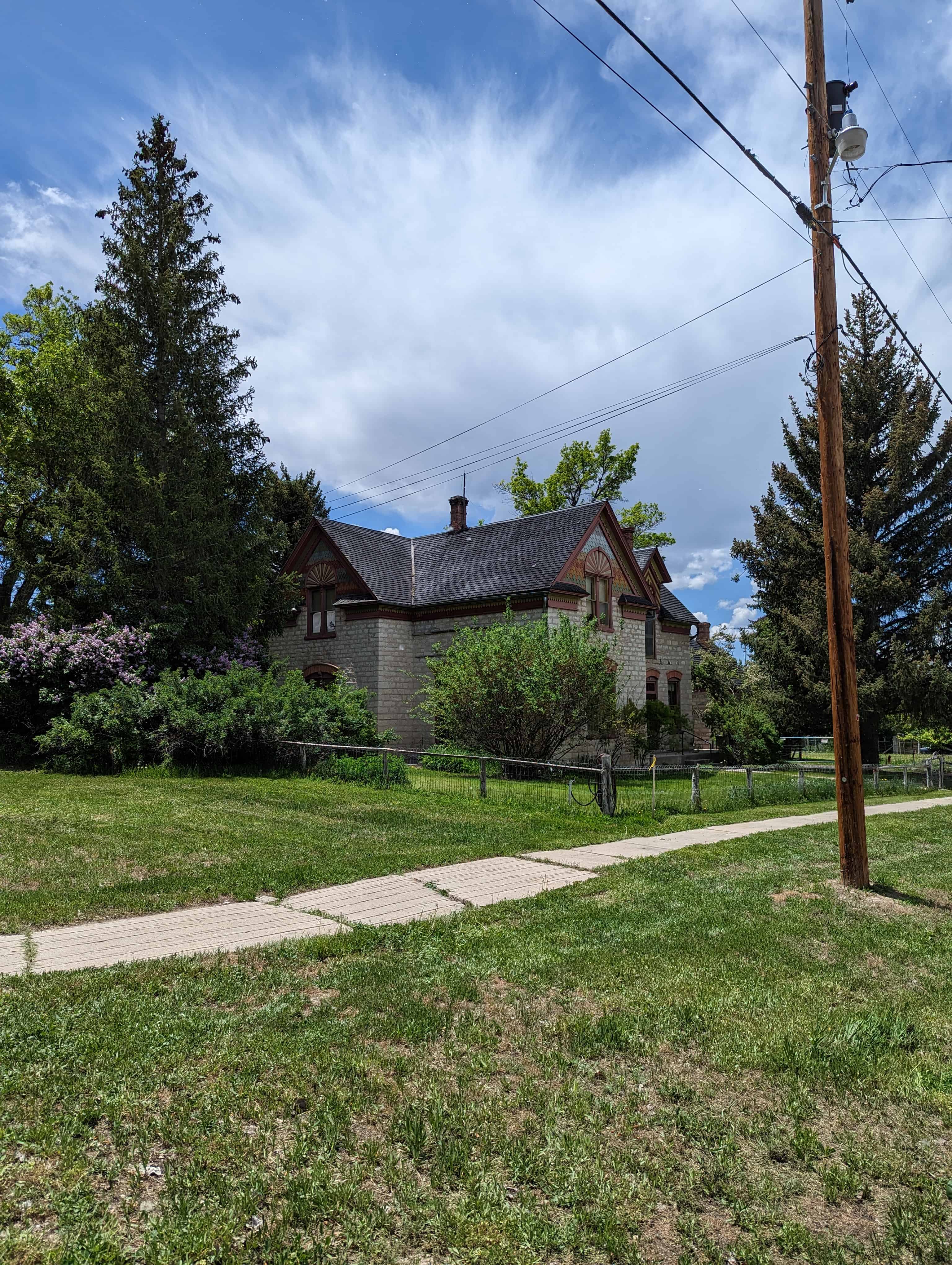
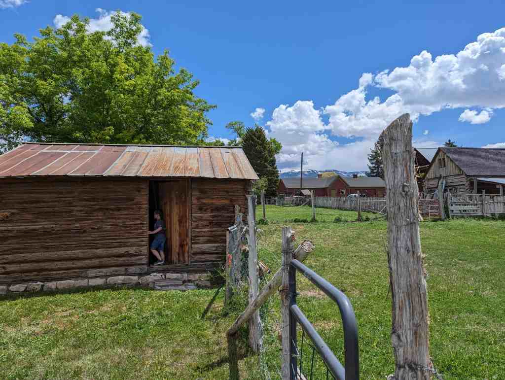
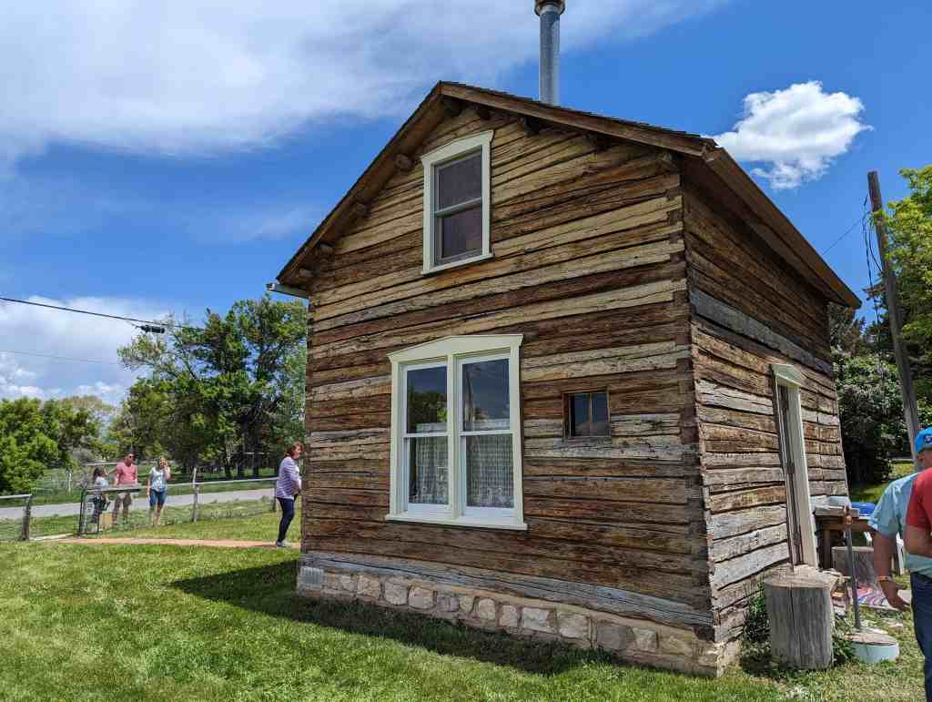
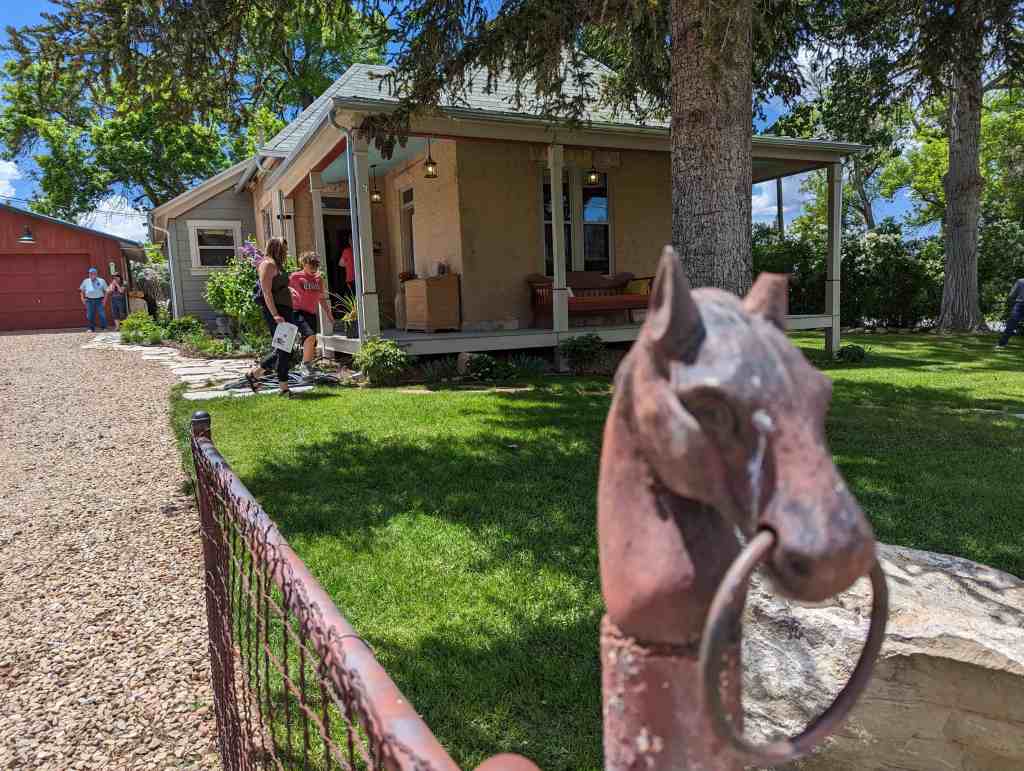
The Seeley Home (still extant) and the west walls, of the two earliest forts were built along State Street, the major north-south axis through Mt. Pleasant. The primary east-west axis was Main Street which ran along the south wall of the first fort. Although all commercial enterprises were contained within the forts for many years, stores were gradually built outside of the forts along State and Main Streets. The earliest businesses not affiliated with the the Mormon Church’s cooperative system were privately operated out of houses. The first commercial stores were built during the quiet years between the various Indian wars.
Mt. Pleasant’s first bona fide commercial structure was a small log building on Main Street which housed a co-op store. Built in 1867, it was followed by the rival Gentile Co-op which, in 1871, was also built on Main Street. The Post Office, built in 1872, the Liberal Hall, erected in 1875 (the oldest structure in the district) and the Rolph Dry Goods Store, built in 1879, were the next buildings to appear on Main Street. With the addition of the Peel House (a hotel), Rosenlof’s Carpentry Shop, the Sanpete County Co-op, and the Lundberg Block in the 1880s and several other new stores after the arrival of the railroad in 1890, Main Street assumed the appearance of a thriving commercial street. This image was enhanced as the railroad built its depot and storehouses on West Main, making the street the major route to town from Moroni where a rail line had existed since 1884.
State Street, because of its role as the State Highway, experienced development which paralleled that of Main Street. Although limited as a business street because of the church block and forts occupying the east side of the street, the Telegraph and Photograph Office was built on State just south of Main in 1866, Zion’s Cooperative Mercantile Institution (Z.C.M.I.) was built on State in 1869 and in following years several other business buildings and hotels were built up along this important traffic route.
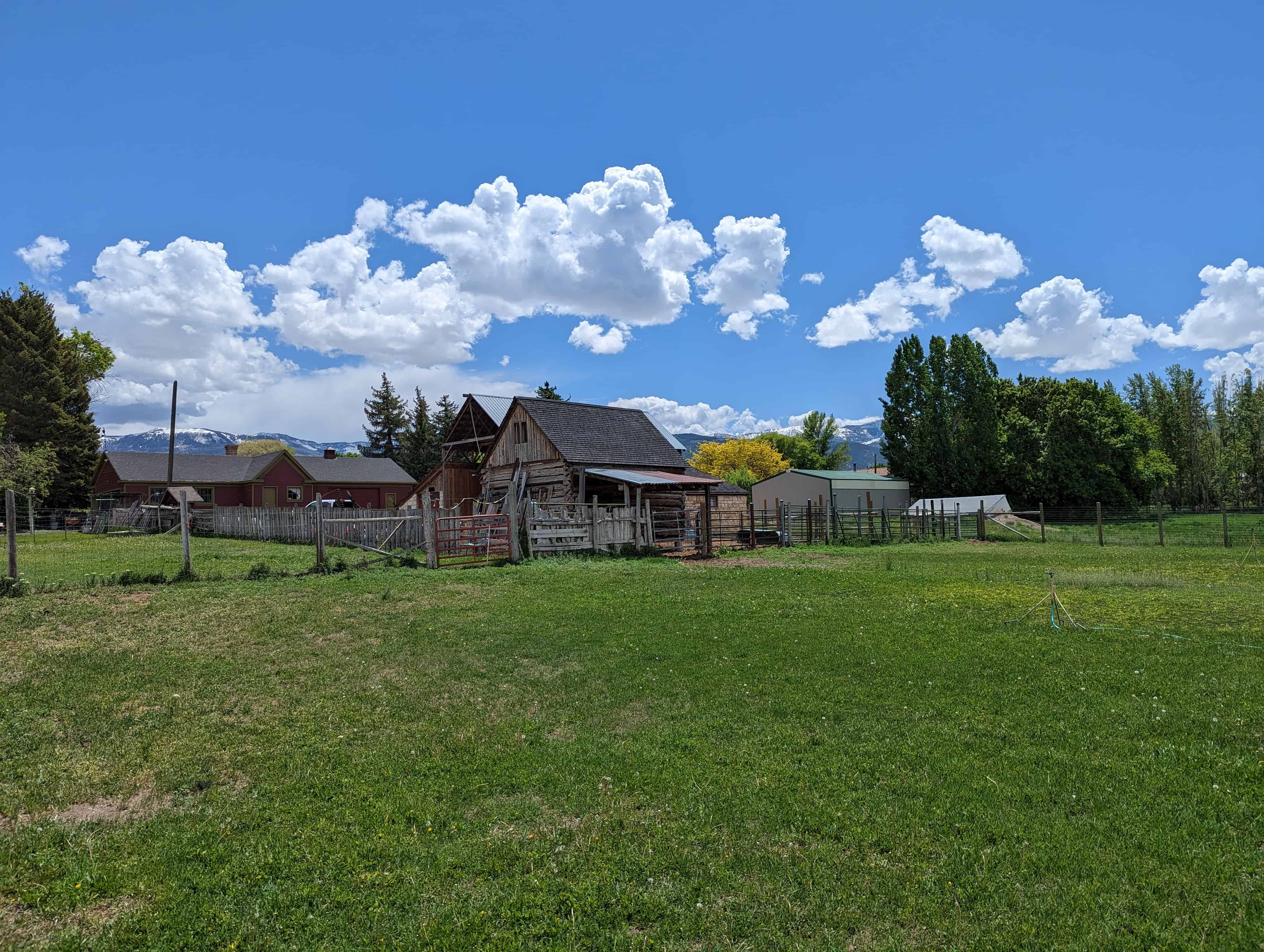
Mt. Pleasant’s economic base originally depended on its grain industry. Like other towns in the county, Mt. Pleasant grew from exporting its agricultural products to other areas in the “Mormon Corridor.” After the coming of the transcontinental railroad to Utah in 1869, the demand for local products, including grain, furniture and other Mt. Pleasant goods decreased in the territorial marketplace as cheaper products could be obtained from other parts of the United States. The introduction in the 1880s of high quality sheep, particularly Merino and Rambouillet breeds, was a major factor in maintaining Sanpete County’s economic position after the decline of its agricultural economy. Something of a community-based operation at first, the wool growing industry eventually came under the control of a few families. Much of Mt. Pleasant’s commercial district was built up by a relatively small group of businessmen who had become wealthy through their investments in livestock.
Other industries also contributed to the growth of Mt. Pleasant’s commercial district. Capitalizing on virgin timber forests in the nearby Wasatch Mountains, local men built several sawmills and did a good business exporting lumber, lath, shingles, mouldings and other finished wood products. Furniture manufacturing developed under the leadership of Frederick C. Jensen and became a small but important local craft industry. In early years, flour mills, creameries, general stores and similar businesses flourished in the territorial economy. Brick manufacturing was a regional export and had a special impact on the appearance of Mt. Pleasant f s own buildings. As businessmen became wealthy, many invested in mining enterprises which brought moderate additional prosperity to some sectors of the community. During the period from the late 1880s through 1914 Mt. Pleasant’s commercial district took on an appearance of strength and economic well-being.
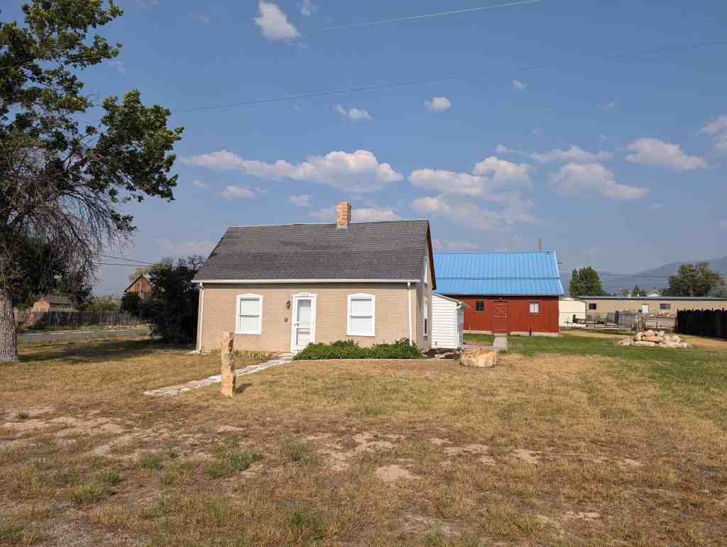
Mt. Pleasant decreased in population after 1920, a common experience throughout rural America. Tariff protection enabled two sectors of the local economy, wool and sugar, to remain healthy throughout the decade. But mechanization, a weakened market for other farm products, and the attractions of city life depleted the small towns of Sanpete County of many young people. Little change has occured in the district since the Great Depression of the 1930s. It reflects, in its present appearance, much of the historic character and feeling of its more prosperous years. The buildings erected in Mt. Pleasant’s commercial district at the time of its greatest prosperity were designed and erected by local men who functioned as architect-builders. The principal figures responsible for the town’s buildings were Albert Christiansen, Morten and Lars Rasmussen, the firm of Hastings and Brown, Martin and Nils Rosenlof, Rudolph Strom, Lars Gunderson and George Brand. None of these men had any formal architectural training.
Of this group of builders only George Brand could be described as an architect, but he regarded himself as a carpenter and building contractor. After coming to town in about 1892 to supervise construction of the Administration Building at Wasatch Academy, Brand thereafter designed and built many houses and commercial buildings in Mt. Pleasant. Born in Cincinatti, Ohio, in 1864, Brand resided in Mt. Pleasant until his death in 1938. Hs was considered “widely known, having constructed every public building in Mt. Pleasant since he came here.”
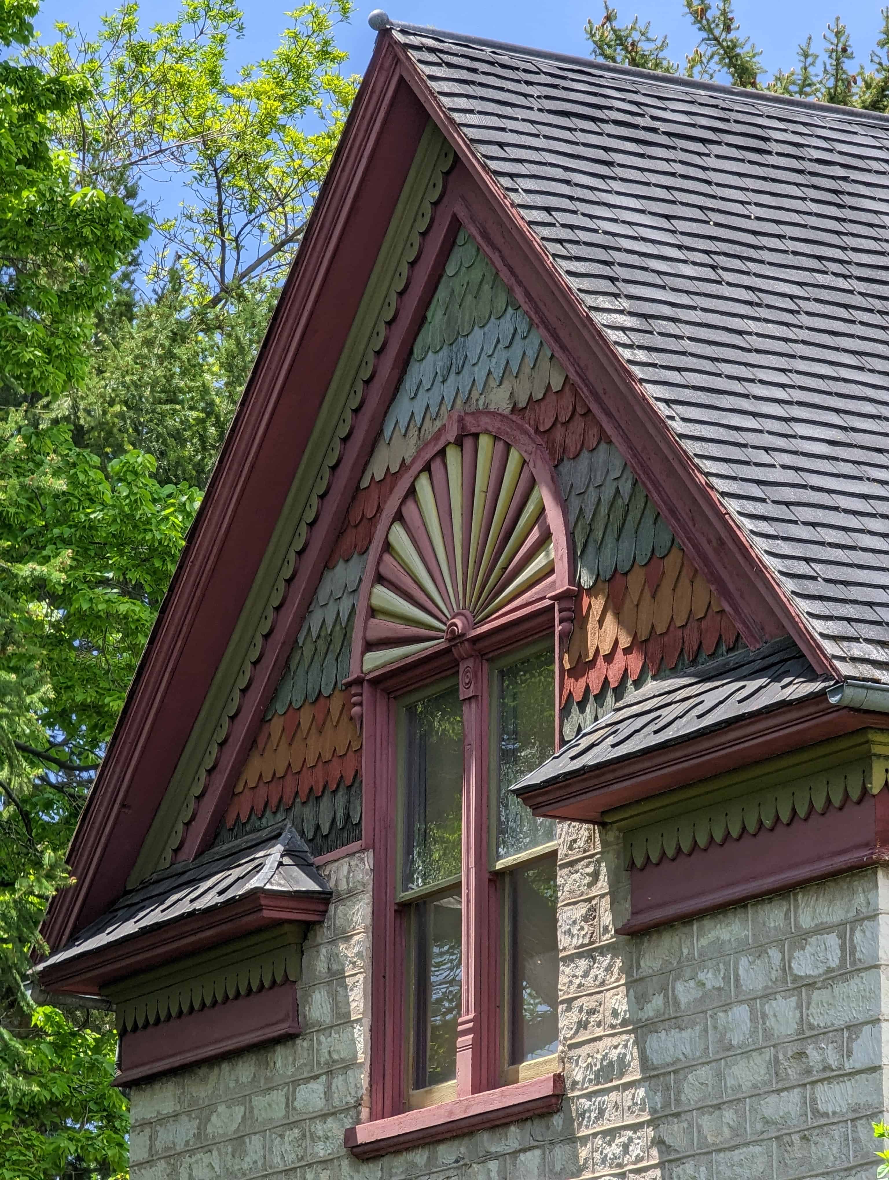
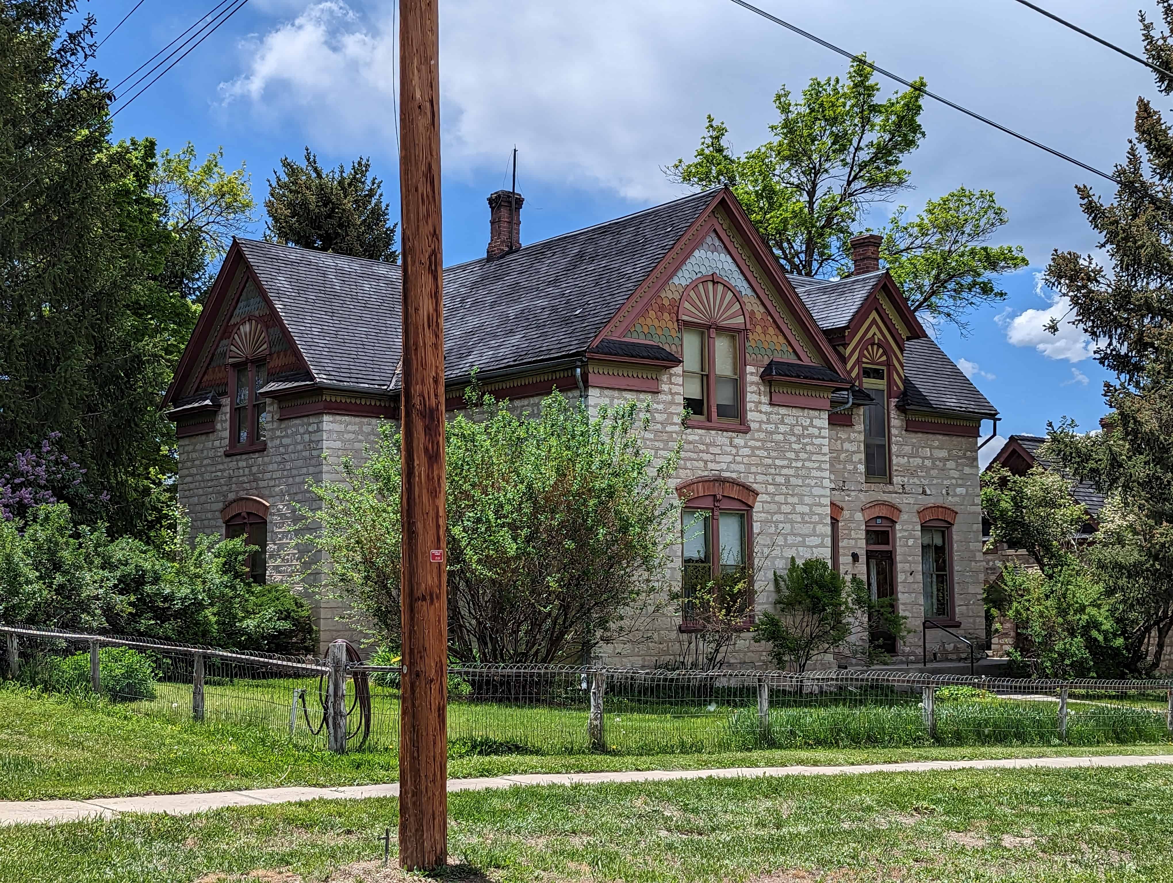
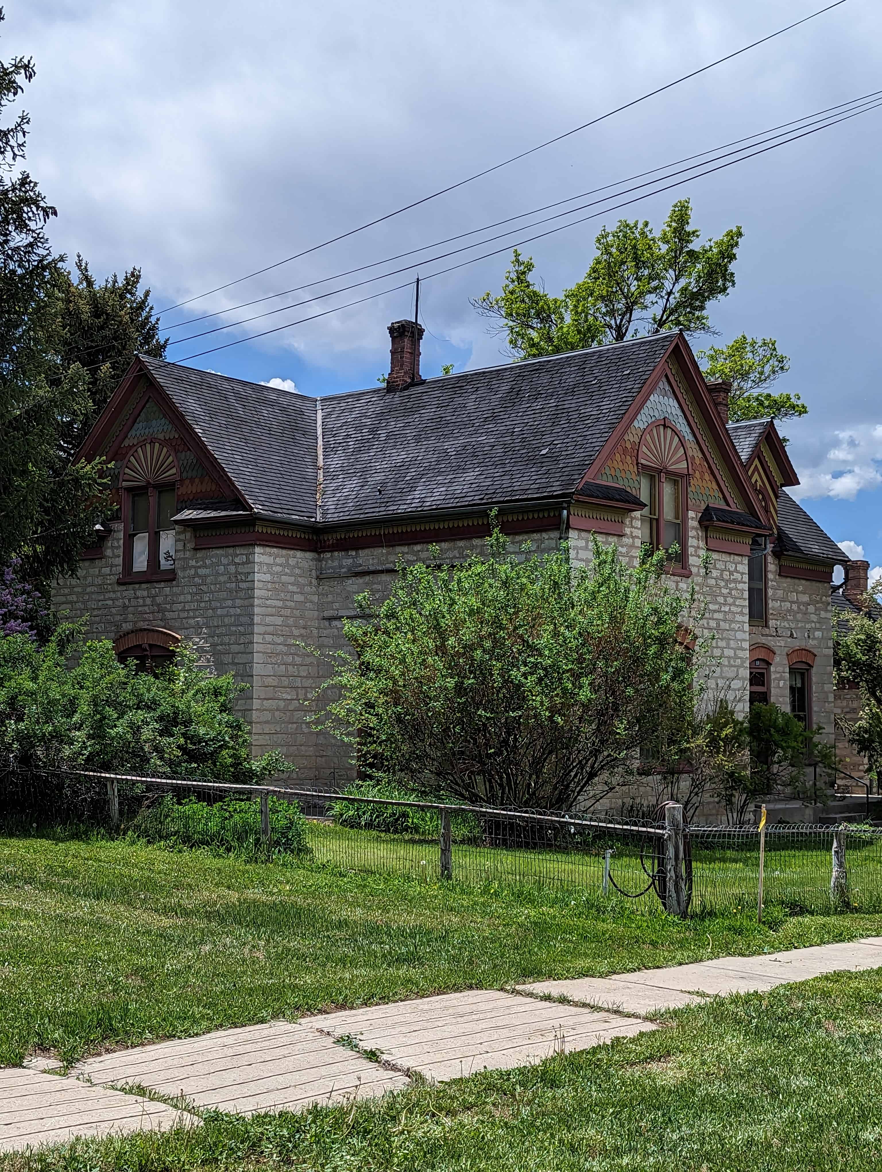
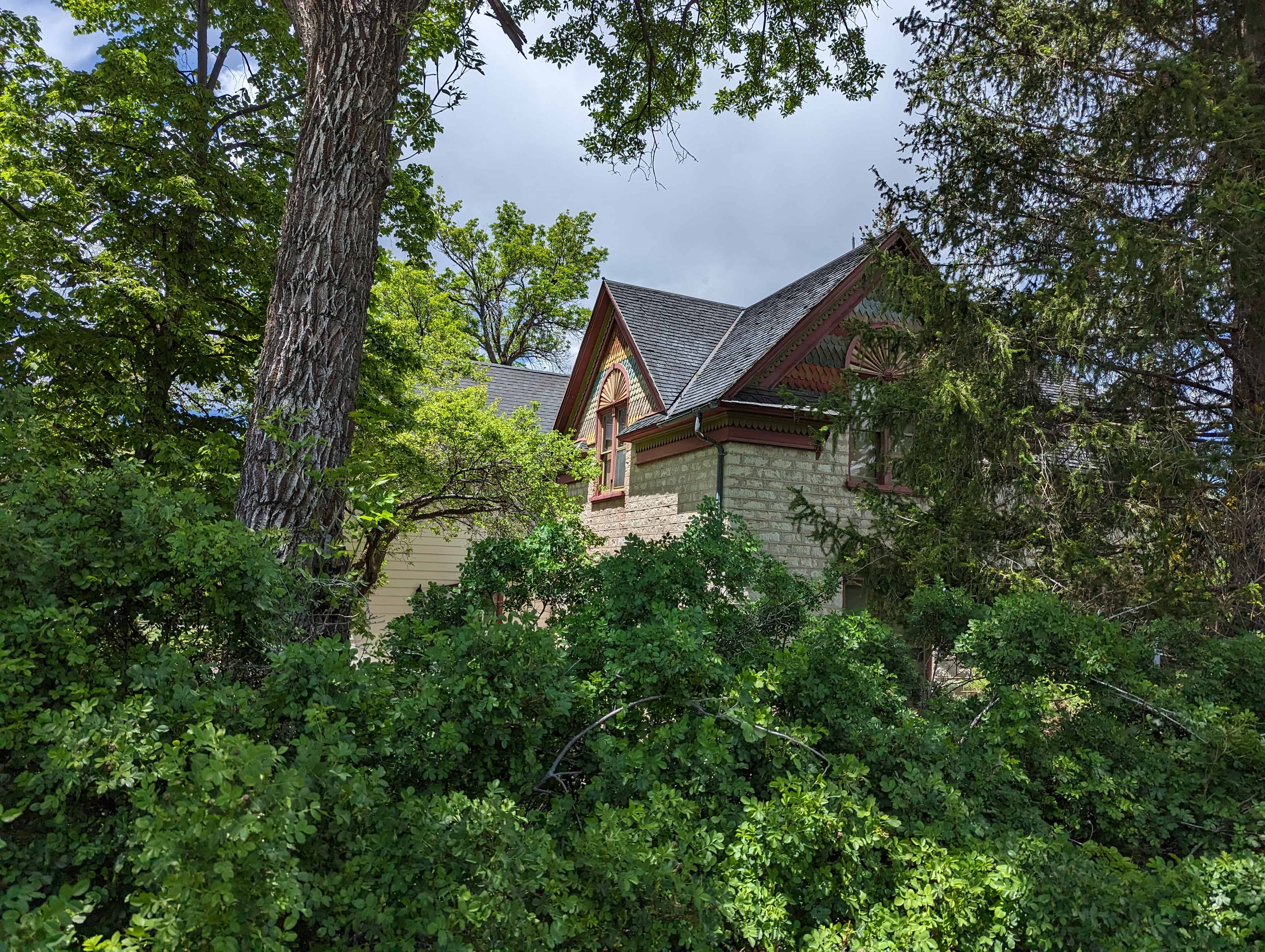
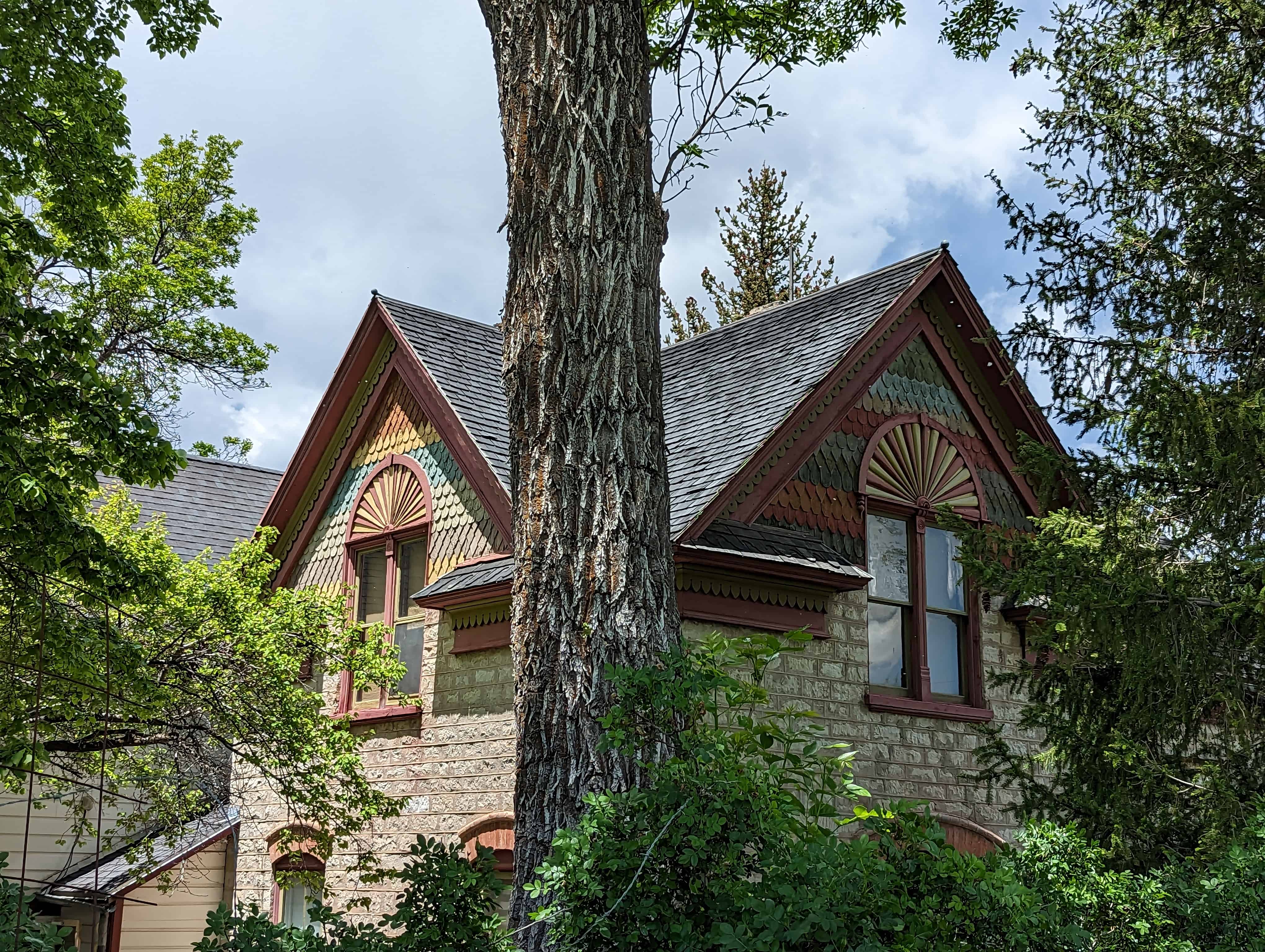
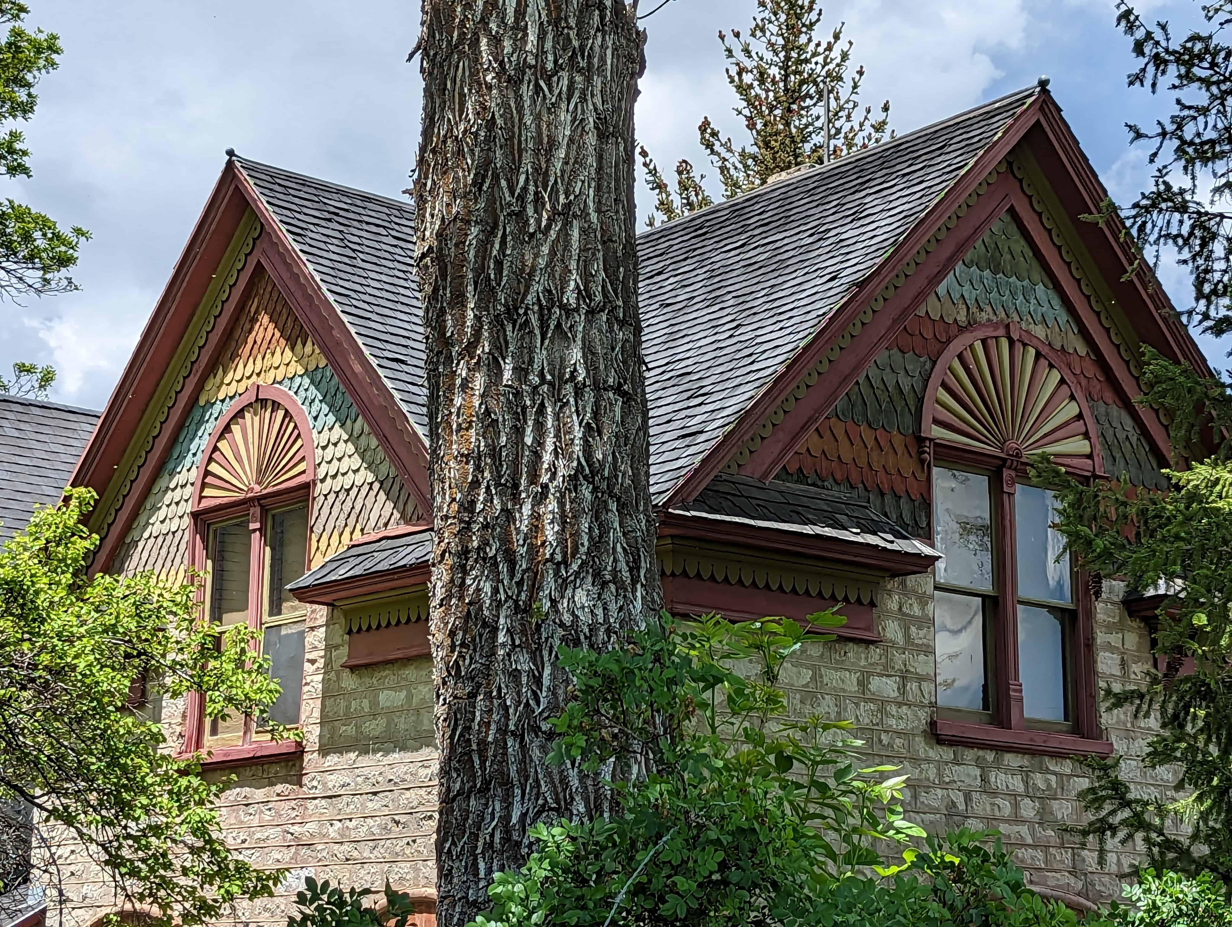
Several of the stores in the historic district appear to have been designed by architects, and Richard C. Watkins, an architect from Provo who designed Mt. Pleasant ! s high school, was probably responsible for several. It is known that James Hansen, an architect who lived in Sanpete County, designed the railroad depot and the North Ward Church. He may also have been responsible for some of the town’s commercial architecture. In any event, the varied designs of Mt. Pleasant’s storefronts are ample evidence that many different minds and hands were involved in the growth of the business district. Many of the commercial structures in Mt. Pleasant are individually significant because of their integrity and excellence of design and workmanship. Several styles, ranging from vernacular to late Victorian, are present and utilize a wide range of materials, colors and decorative elements. The significant buildings are marred by a few major intrusions, but the district generally has good restoration potential. As important as the individually significant structures are the fine clusters of buildings which maintain the historic streetscape.
- 160 W Main St – Gentile Store
- 152 W Main St – Sanpete County Co-Op
- 146 W Main St – Mt Pleasant Commercial Savings Bank
- 140 W Main St – Lamont Building
- 122 W Main St – American Cleaners
- 104 W Main St – First Security Bank
- 96 W Main – Seely-Hinckley Building
- 86 W Main St – Confectionary
- 84/80 W Main St
- 76 W Main St – Meat and Produce Company