
Tags
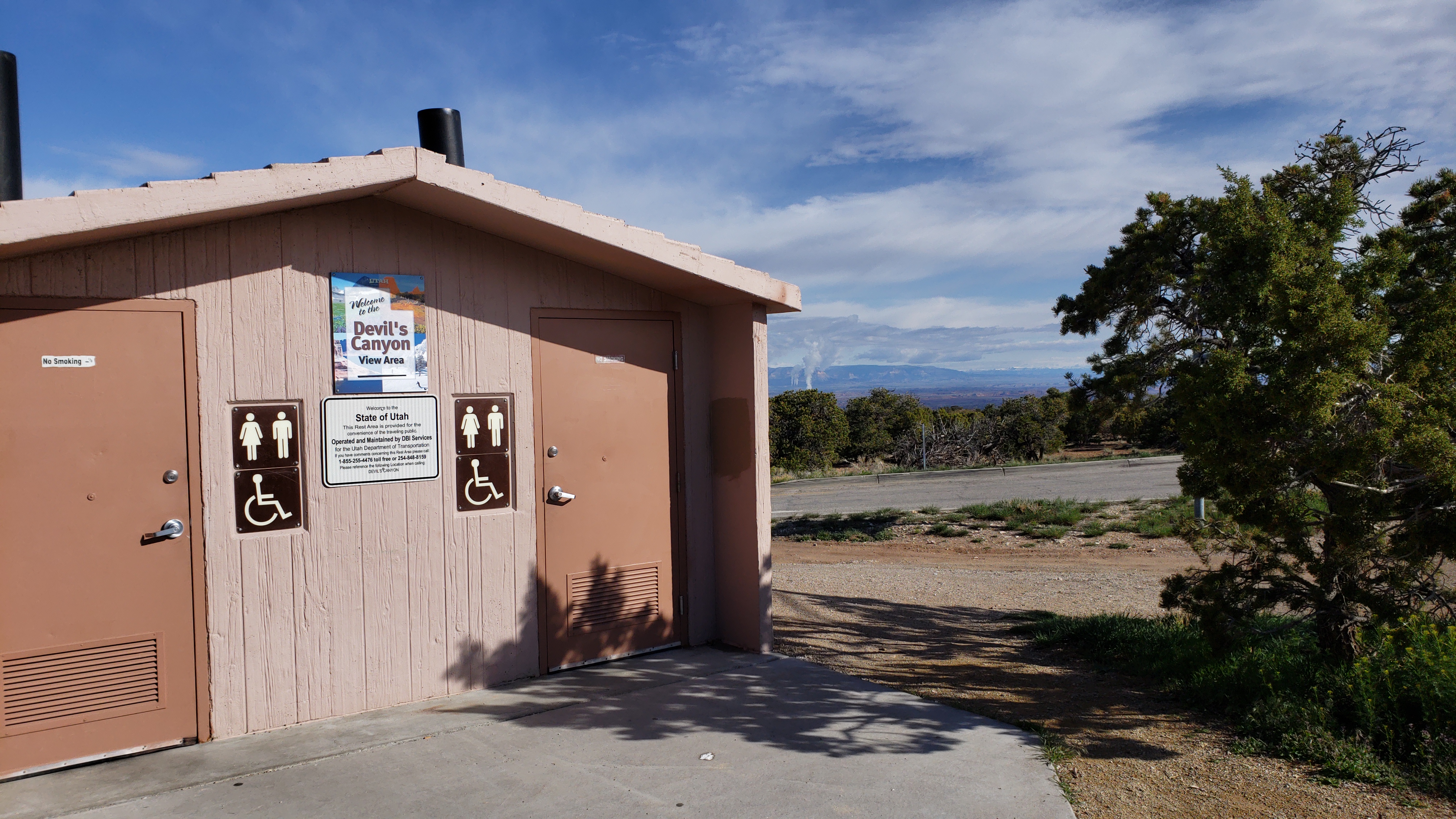
One of the rest areas along I-70 in the stretch that goes through the San Rafael Swell area.
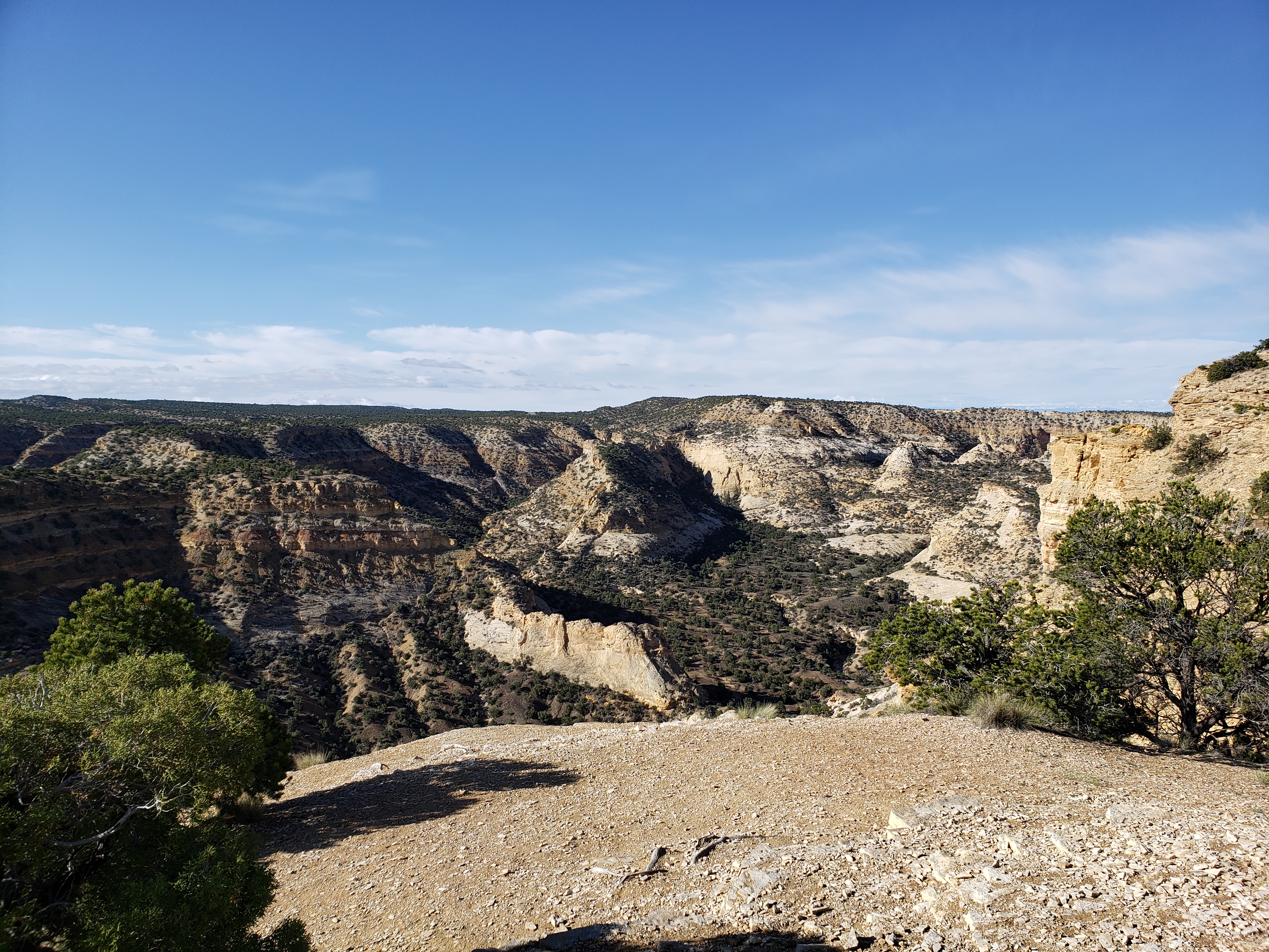
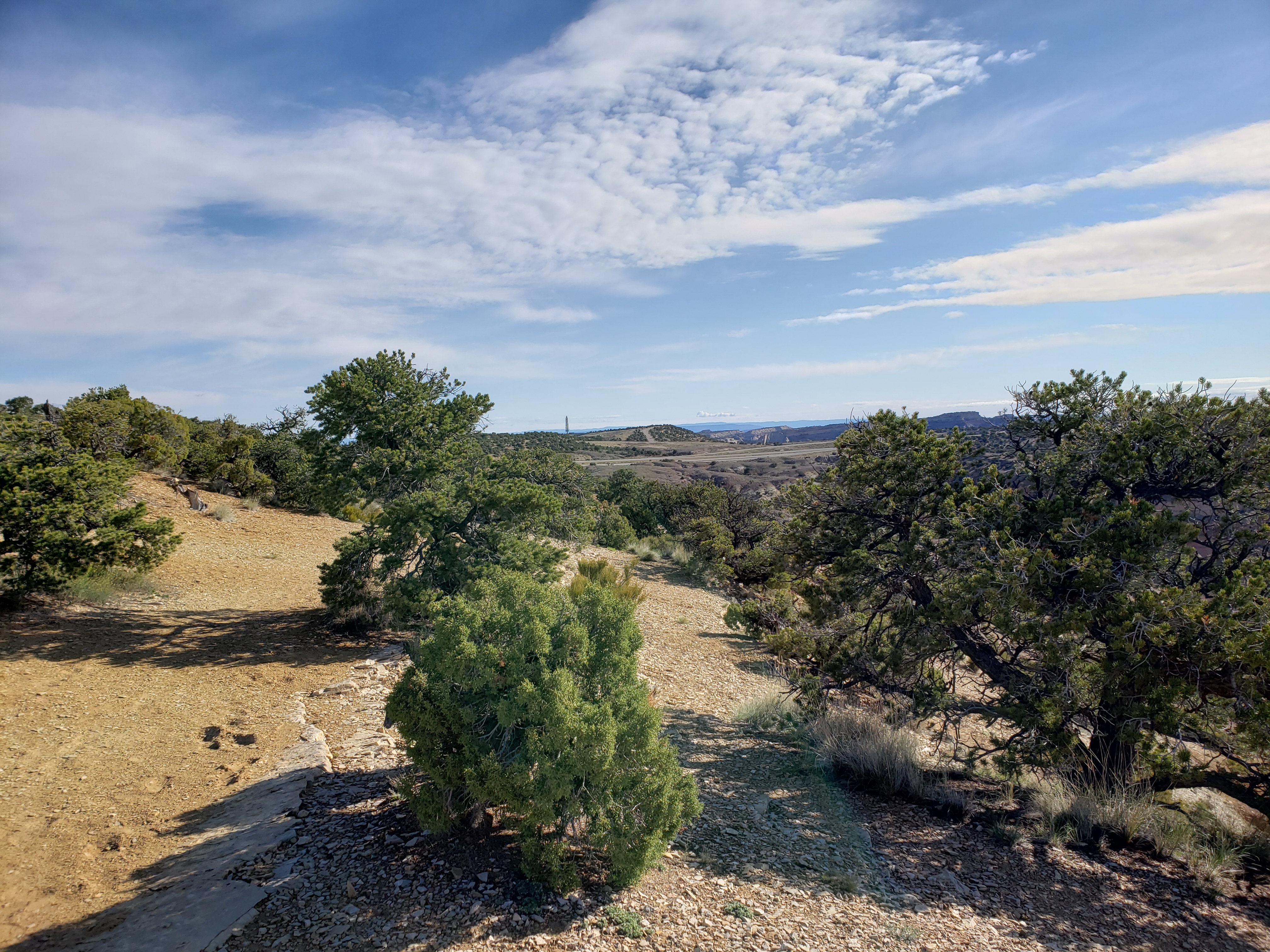
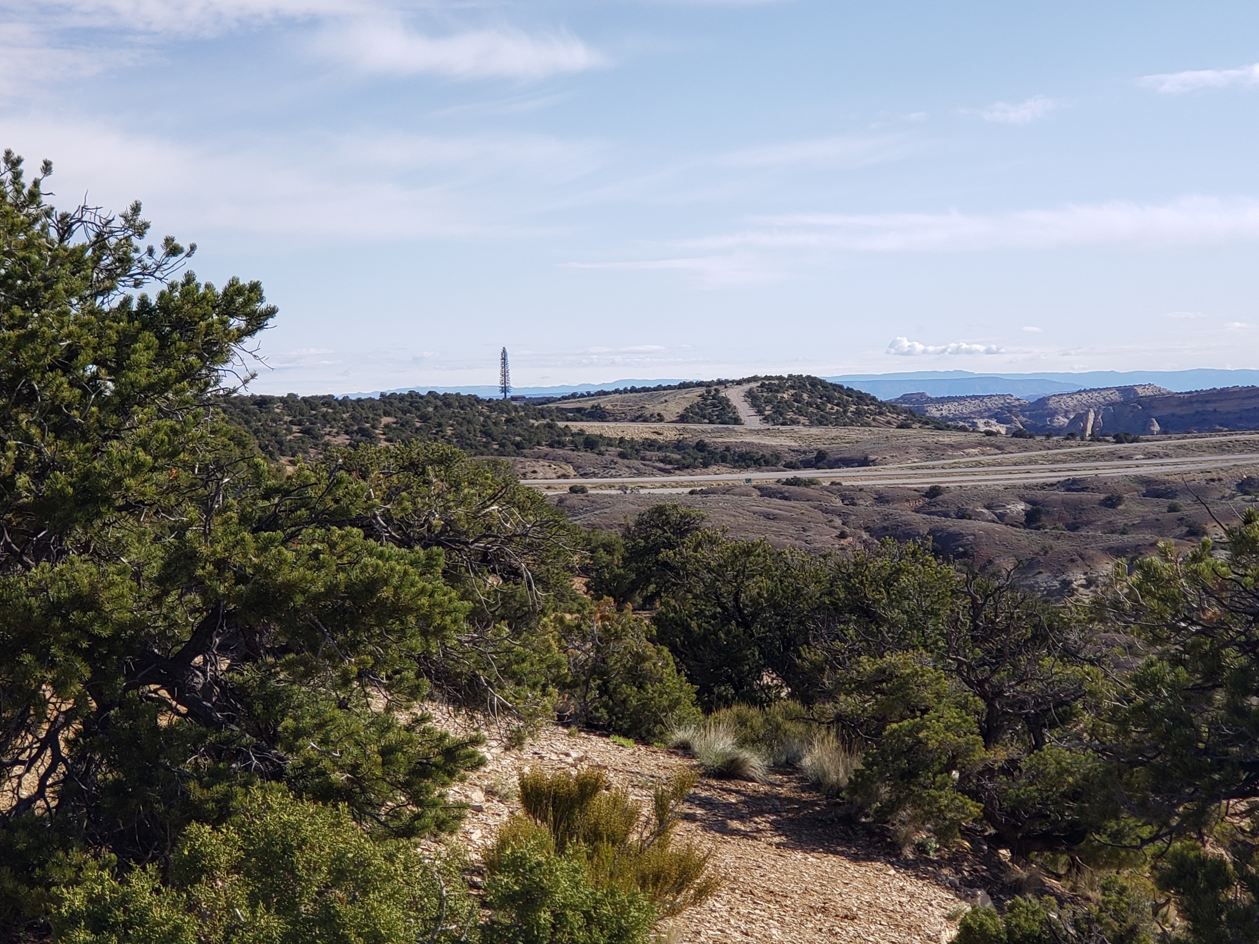
Devil’s Canyon View Area
For my post about this section of Interstate 70 and links to the other rest areas on it visit this page.
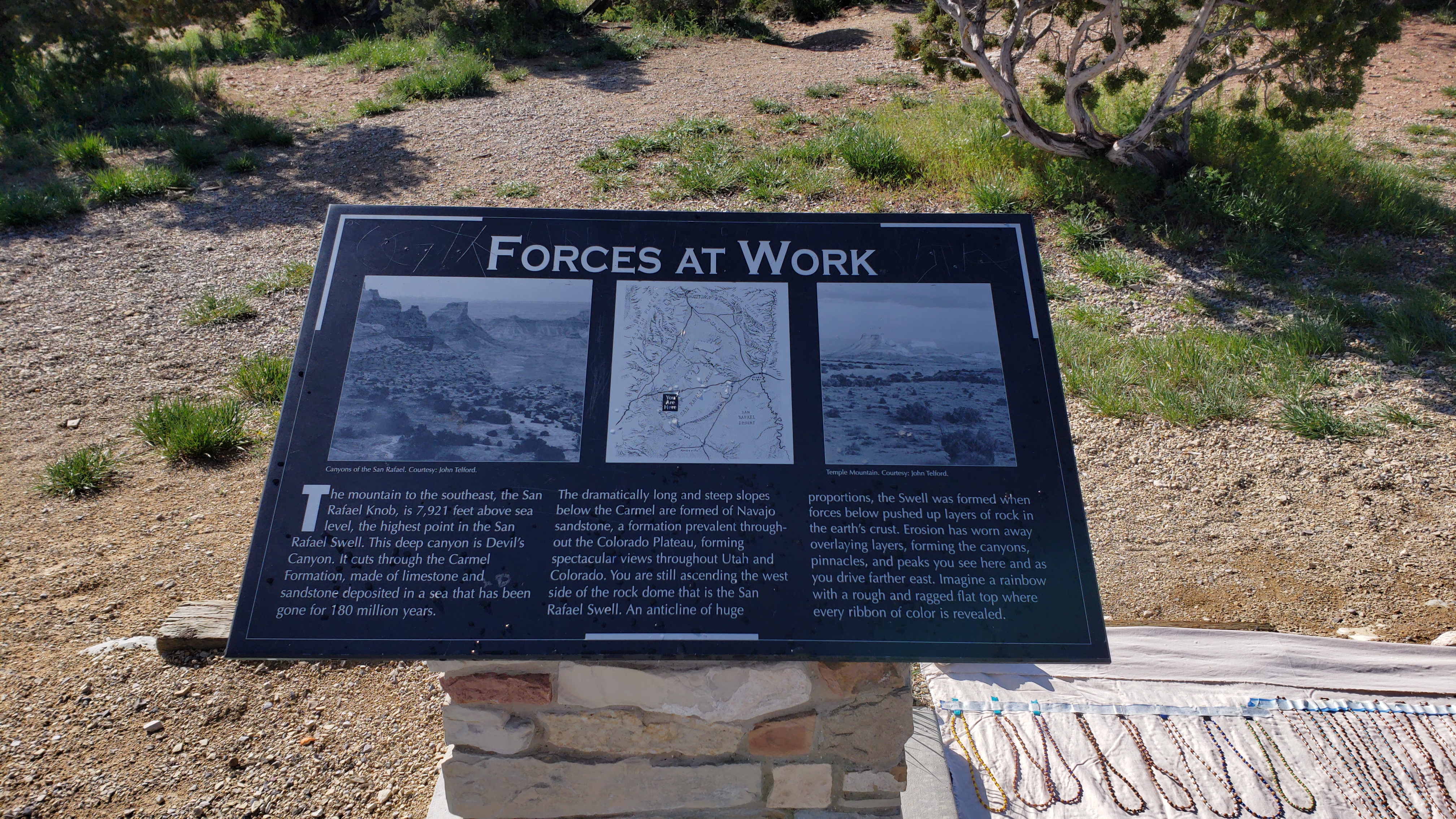
Forces At Work
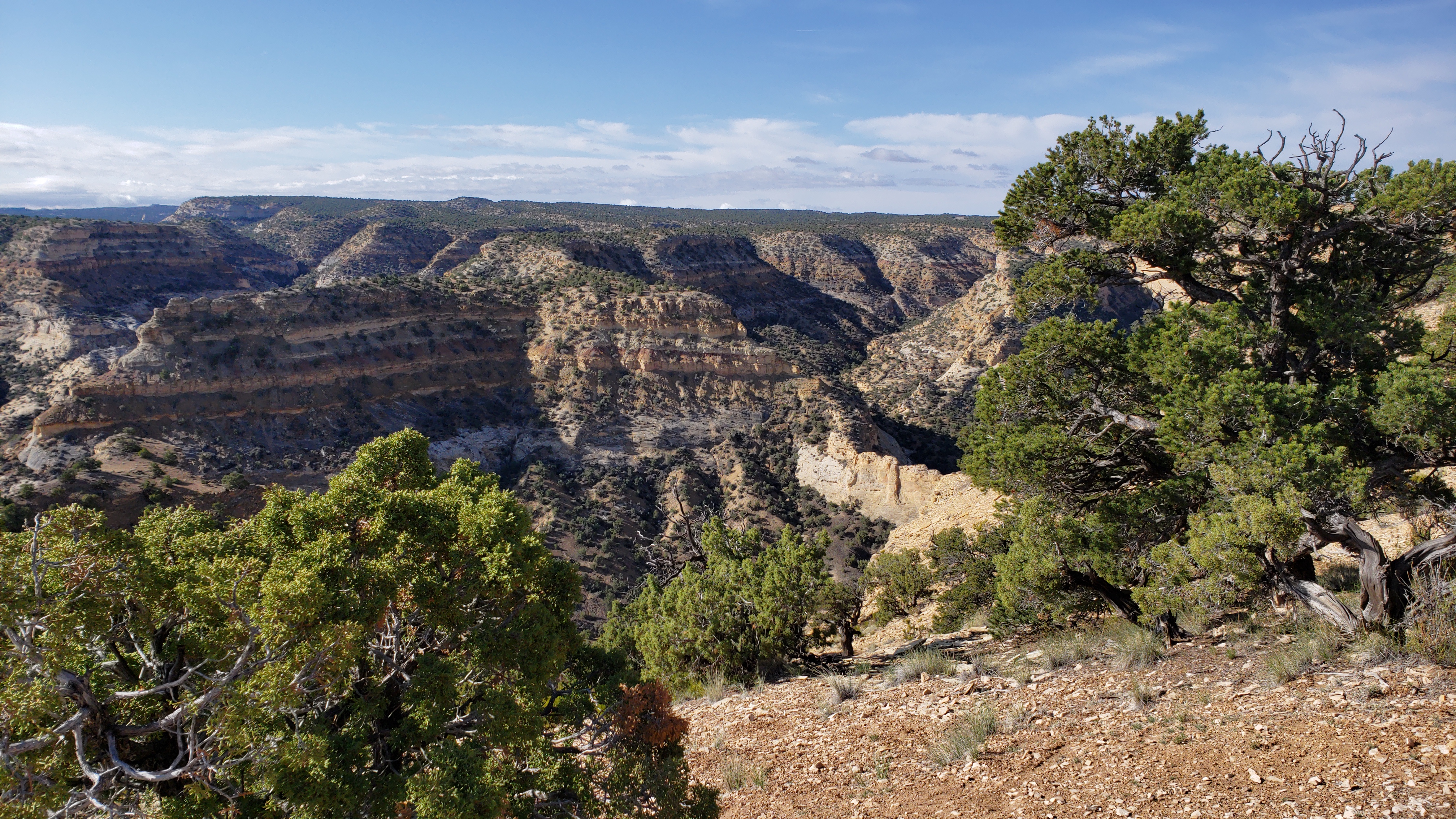
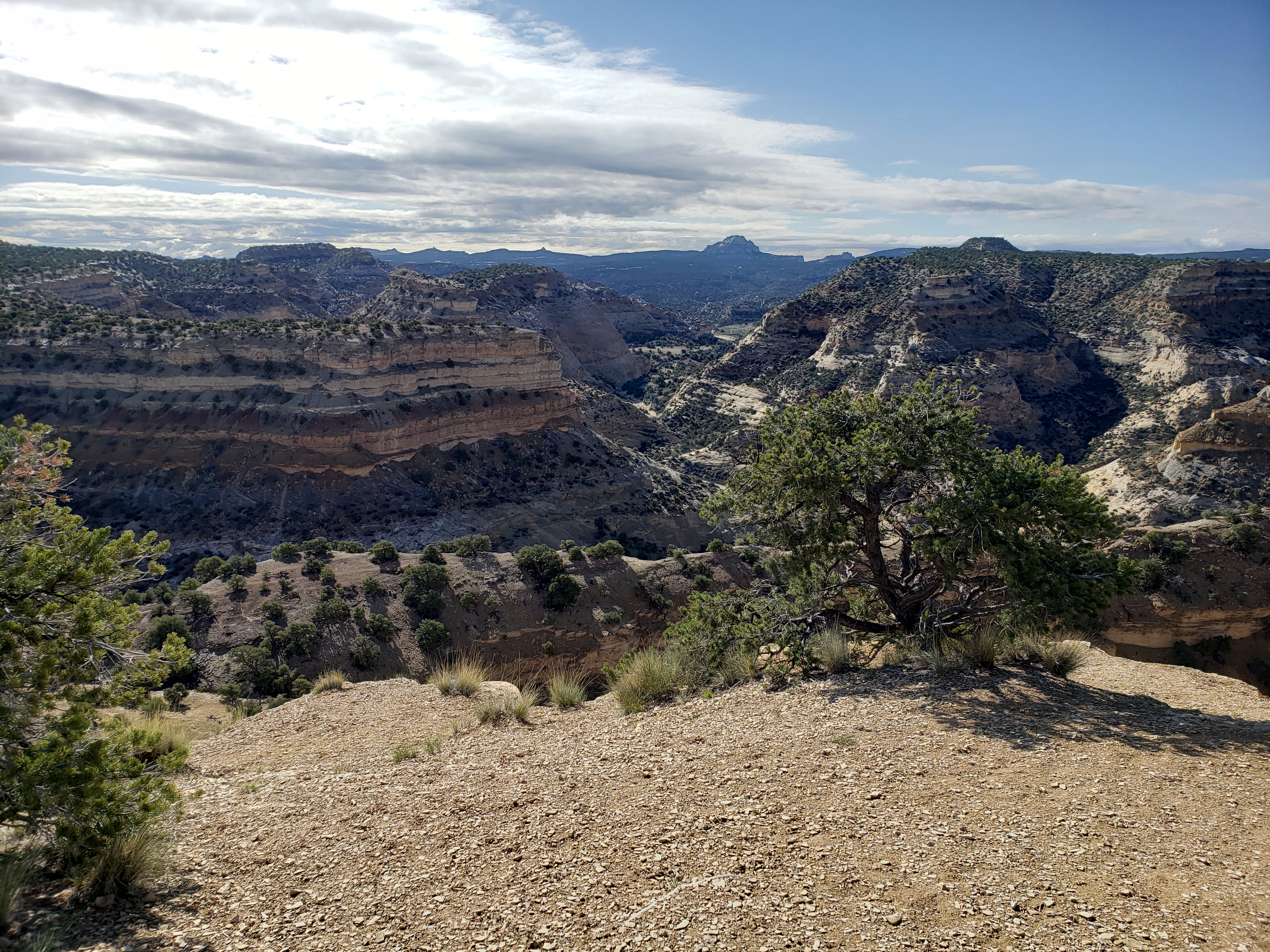
The mountain to the southeast, the San Rafael Knob, is 7,921 feet above sea level, the highest point in the San Rafael Swell. This deep canyon is Devil’s Canyon. It cuts through the Carmel Formation, made of limestone and sandstone deposited in a sea that has been gone for 180 million years.
The dramatically long and steep slopes below the Carmel are formed of Navajo sandstone, a formation prevalent through- out the Colorado Plateau, forming spectacular views throughout Utah and Colorado. You are still ascending the west side of the rock dome that is the San Rafael Swell. An anticline of huge proportions, the Swell was formed when forces below pushed up layers of rock in the earth’s crust. Erosion has worn away overlaying layers, forming the canyons, pinnacles, and peaks you see here and as you drive farther east. Imagine a rainbow with a rough and ragged flat top where every ribbon of color is revealed.
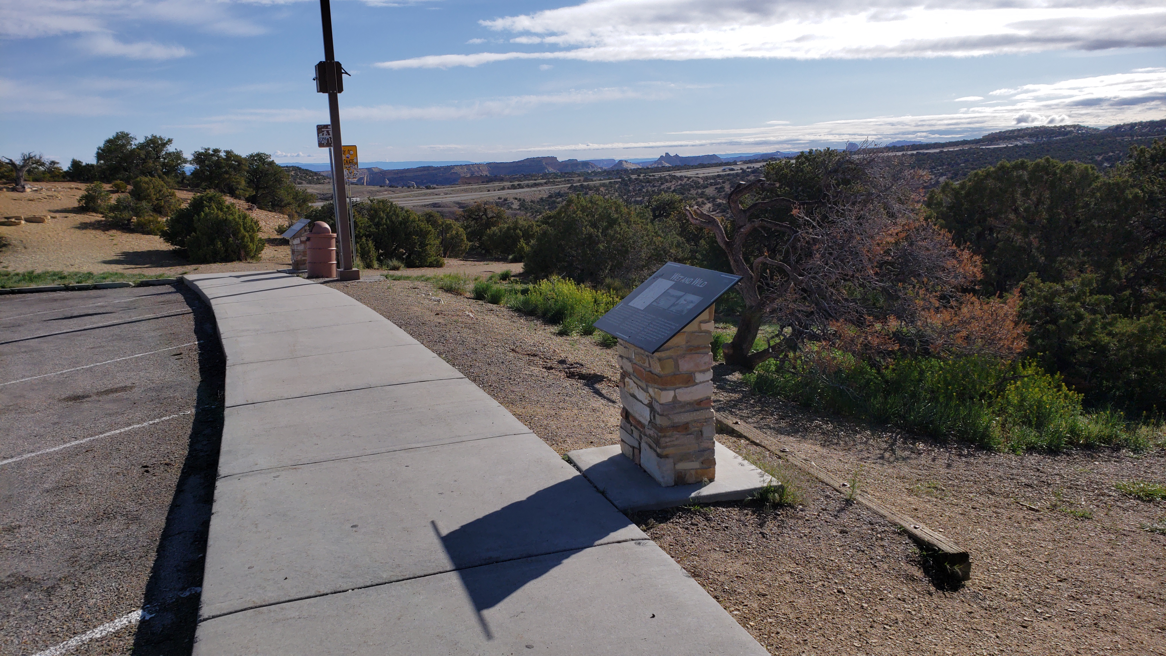
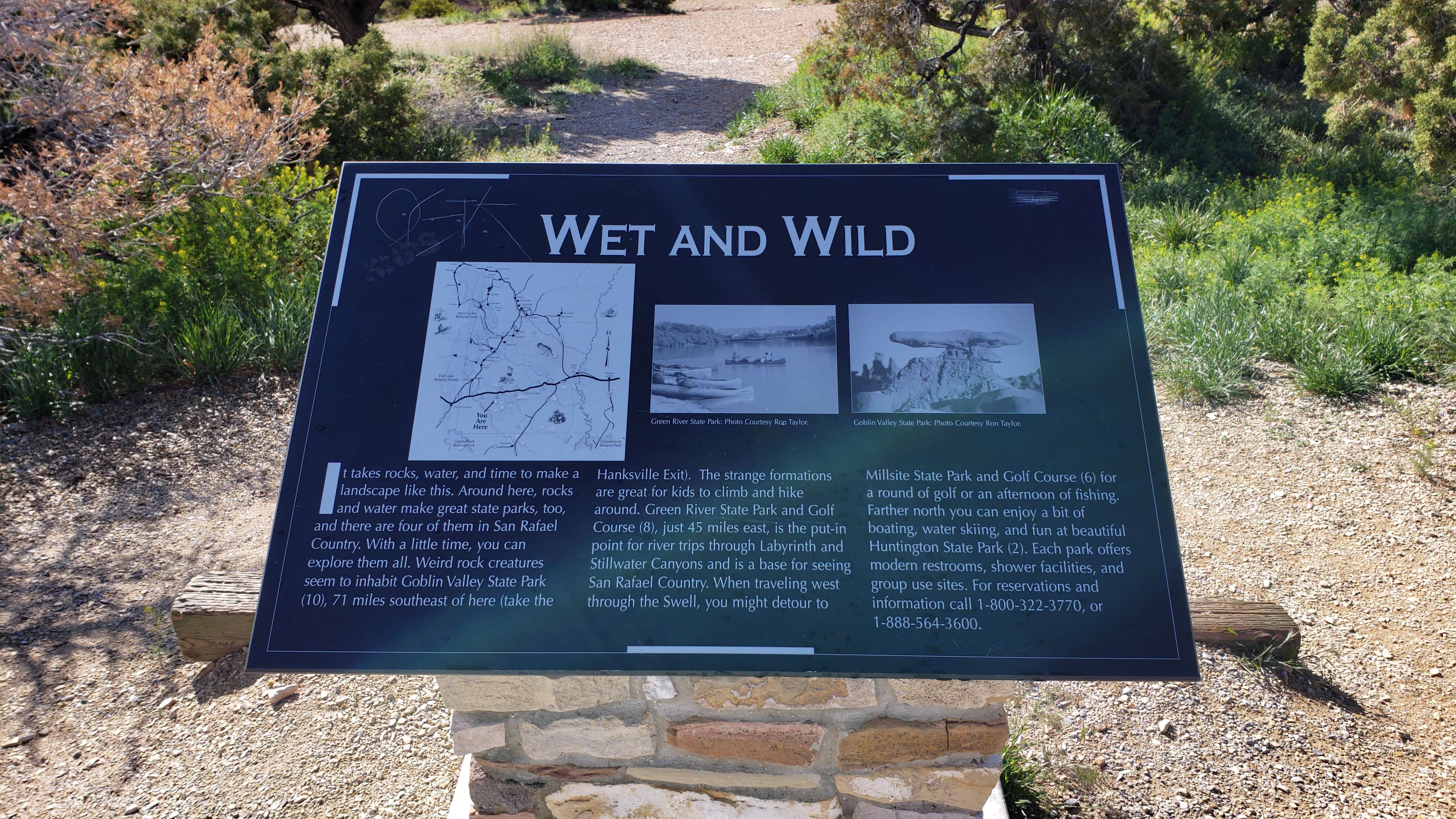
Wet And Wild
It takes rocks, water, and time to make a landscape like this. Around here, rocks and water make great state parks, too, and there are four of them in San Rafael Country. With a little time, you can explore them all. Weird rock creatures seem to inhabit Goblin Valley State Park, 71 miles southeast of here (take the
Hanksville Exit). The strange formations are great for kids to climb and hike around. Green River State Park and Golf Course, just 45 miles east, is the put-in point for river trips through Labyrinth and Stillwater Canyons and is a base for seeing San Rafael Country. When traveling west through the Swell, you might detour to Millsite State Park and Golf Course for a round of golf or an afternoon of fishing. Farther north you can enjoy a bit of boating, water skiing, and fun at beautiful Huntington State Park.
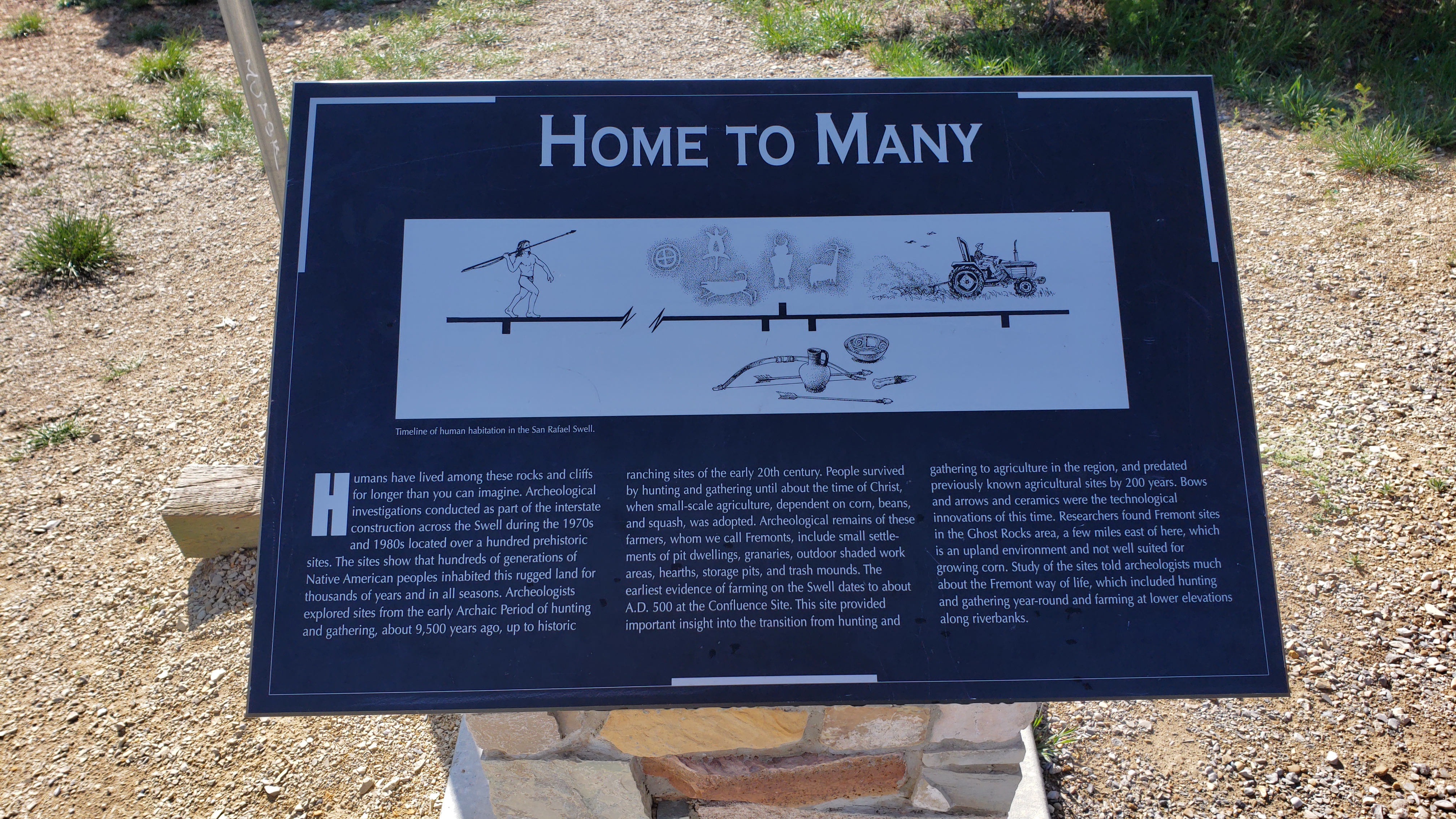
Home To Many
Humans have lived among these rocks and cliffs for longer than you can imagine. Archeological investigations conducted as part of the interstate construction across the Swell during the 1970s and 1980s located over a hundred prehistoric sites. The sites show that hundreds of generations of Native American peoples inhabited this rugged land for thousands of years and in all seasons. Archeologists explored sites from the early Archaic Period of hunting and gathering, about 9,500 years ago, up to historic ranching sites of the early 20th century. People survived by hunting and gathering until about the time of Christ, when small-scale agriculture, dependent on corn, beans, and squash, was adopted. Archeological remains of these farmers, whom we call Fremonts, include small settlements of pit dwellings, granaries, outdoor shaded work areas, hearths, storage pits, and trash mounds. The earliest evidence of farming on the Swell dates to about A.D. 500 at the Confluence Site. This site provided important insight into the transition from hunting and gathering to agriculture in the region, and predated previously known agricultural sites by 200 years. Bows and arrows and ceramics were the technological innovations of this time. Researchers found Fremont sites in the Ghost Rocks area, a few miles east of here, which is an upland environment and not well suited for growing corn. Study of the sites told archeologists much about the Fremont way of life, which included hunting and gathering year-round and farming at lower elevations along riverbanks.