
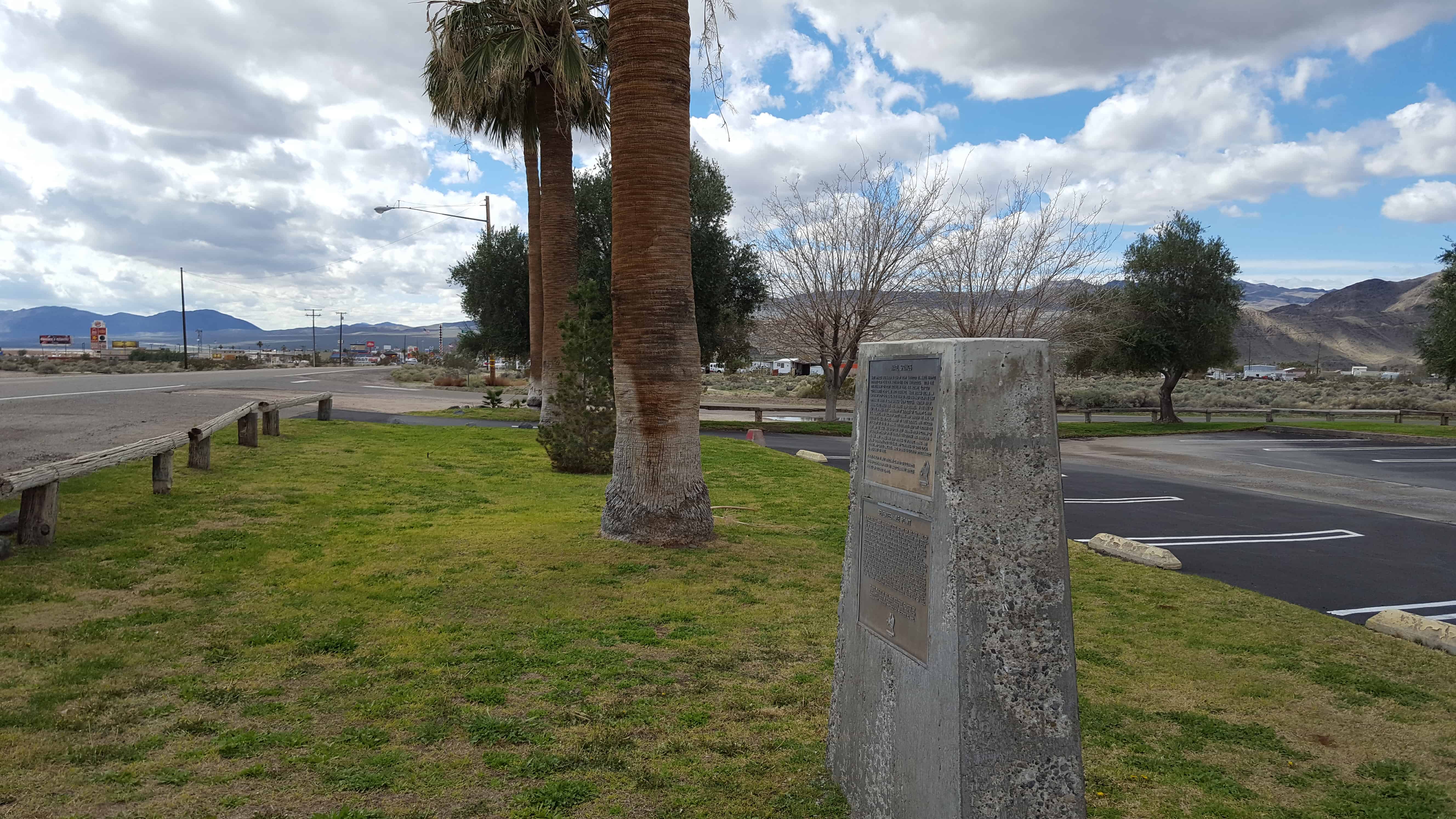
Marl Springs was named in 1854 by Army Surveyor Lt. Amiel Whipple for the clay-like soil around the two waterholes. With the establishment of Fort Mojave in 1859, the Mojave (or Old Government) Road came into existence. Marl Springs became an important stop over being more than 30 miles eastward from the last dependable water Soda Springs (now Zzyzx). Though never abundant, the water here has always been reliable. In the fall of 1867 the springs were garrisoned by soldiers of Company K, 14th U.S. Infantry, who escorted supply trains and guarded the mail. On October 17, 1867, the post, manned by three soldiers, was attacked by a group of 20 to 30 Indians. The defenders held out through the night and the siege was lifted the next morning when a column of 150 soldiers appeared on the horizon. The outpost was abandoned in May, 1868. Marl Springs has been witness to sporadic mining and milling operations over the years and continues to serve local wildlife and cattle ranchers. Marl Springs is located approximately 25 miles east of here.

In 1859 the U.S. Army established Fort Mojave on the east bank of the Colorado north of Needles to guard the important river crossing at the Mojave Villages. The Mojave (or Old Government) Road came into being to link the fort with the Port of Los Angeles. Supplies, troops, and mail traveled over this route, with many heavy wagons traveling eastward. The portion from Soda Springs (now Zzyzx) to Marl Springs was approximately 35 miles, the longest waterless stretch on the trail. It also gained 3,000 feet in elevation over this distance, much of the way over deep, soft sand. This northern-most spur of Old Dad Mountain, midway between the two waterholes, was known as Seventeenmile Point. In an attempt to avoid the worst of the desert heat, heavily laden supply wagons would typically leave Soda Springs at night, make a dry camp nearby, and continue on the next day to the dependable water at Marl Springs. Seventeen mile point is located approximately twelve miles east of here.


Pingback: Baker, California | JacobBarlow.com
Thank you. Er, the Old Government Road was being used for over 800 years: it did not “come in to being” when Fort Mojave was placed (nor Camp Cady, etc.).