Worlds Tallest Thermometer, located in Baker, California.
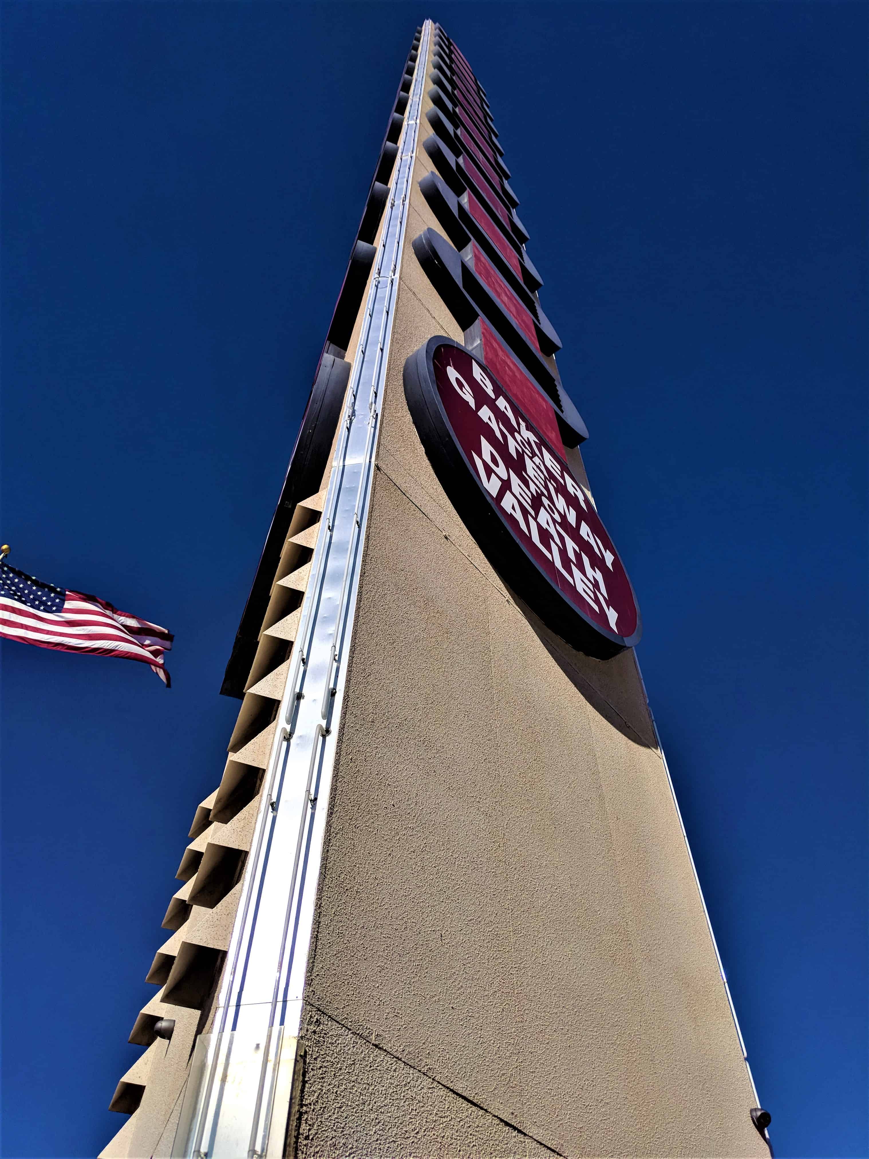
The World’s Tallest Thermometer is a landmark located in Baker, California. It is an electric sign that commemorates the record 134 degrees Fahrenheit recorded nearby on July 10, 1913.
It stands 134 feet tall and is capable of displaying a maximum temperature of 134 °F as a reference to the temperature record.
It was built in 1991 by the Young Electric Sign Company of Salt Lake City, Utah for Willis Herron, a local Baker businessman who spent $700,000 to build the thermometer next to his Bun Boy restaurant.
Soon after its construction, 70-mph winds snapped the thermometer in half, and it was rebuilt. Two years later, severe gusts made the thermometer sway so much that its light bulbs popped out. Concrete was then poured inside the steel core to reinforce the monument.(*)
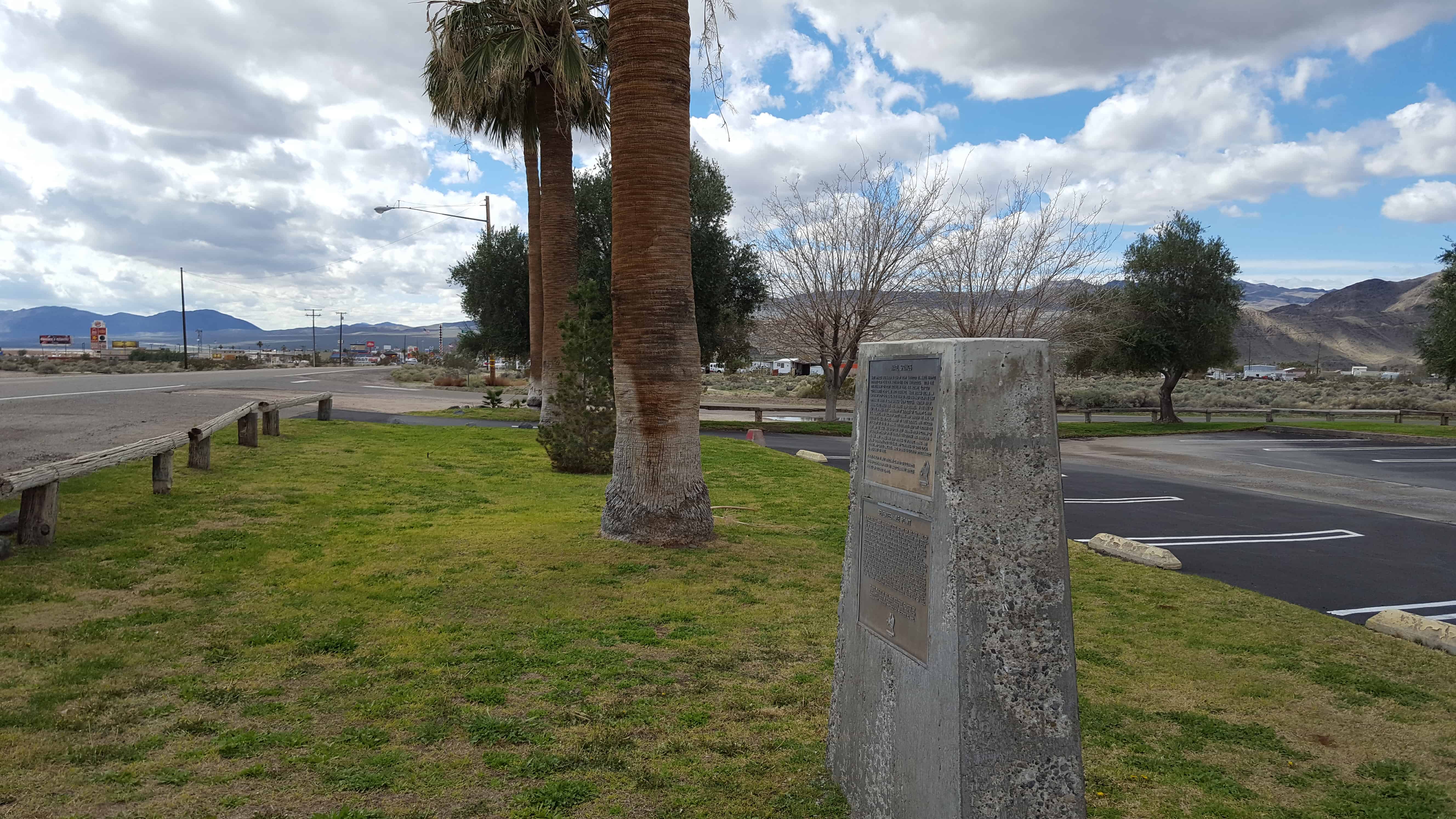
Marl Springs was named in 1854 by Army Surveyor Lt. Amiel Whipple for the clay-like soil around the two waterholes. With the establishment of Fort Mojave in 1859, the Mojave (or Old Government) Road came into existence. Marl Springs became an important stop over being more than 30 miles eastward from the last dependable water Soda Springs (now Zzyzx). Though never abundant, the water here has always been reliable. In the fall of 1867 the springs were garrisoned by soldiers of Company K, 14th U.S. Infantry, who escorted supply trains and guarded the mail. On October 17, 1867, the post, manned by three soldiers, was attacked by a group of 20 to 30 Indians. The defenders held out through the night and the siege was lifted the next morning when a column of 150 soldiers appeared on the horizon. The outpost was abandoned in May, 1868. Marl Springs has been witness to sporadic mining and milling operations over the years and continues to serve local wildlife and cattle ranchers. Marl Springs is located approximately 25 miles east of here.
In 1859 the U.S. Army established Fort Mojave on the east bank of the Colorado north of Needles to guard the important river crossing at the Mojave Villages. The Mojave (or Old Government) Road came into being to link the fort with the Port of Los Angeles. Supplies, troops, and mail traveled over this route, with many heavy wagons traveling eastward. The portion from Soda Springs (now Zzyzx) to Marl Springs was approximately 35 miles, the longest waterless stretch on the trail. It also gained 3,000 feet in elevation over this distance, much of the way over deep, soft sand. This northern-most spur of Old Dad Mountain, midway between the two waterholes, was known as Seventeenmile Point. In an attempt to avoid the worst of the desert heat, heavily laden supply wagons would typically leave Soda Springs at night, make a dry camp nearby, and continue on the next day to the dependable water at Marl Springs. Seventeen mile point is located approximately twelve miles east of here.
Baker was founded as a station on the Tonopah and Tidewater Railroad in 1908, and was named after Richard C. Baker, business partner of Francis Marion Smith in building the railroad. Baker later became president of the T&T himself.
Baker was established in 1929 by Ralph Jacobus Fairbanks (1857–1942), who was an American prospector, entrepreneur and pioneer who established several towns in the Death Valley area of California, including Fairbanks Springs (1904–05) and Shoshone (1910)
It is the site of a vacant for-profit prison formerly operated by Cornell Corrections which experienced a major riot on December 2, 2003, four weeks before it was temporarily closed. It was permanently closed on December 25, 2009. GEO Group purchased Cornell Companies, its owner, on August 12, 2010.[6] It had previously experienced escapes in August and November 1995, and two on July 15, 1997.
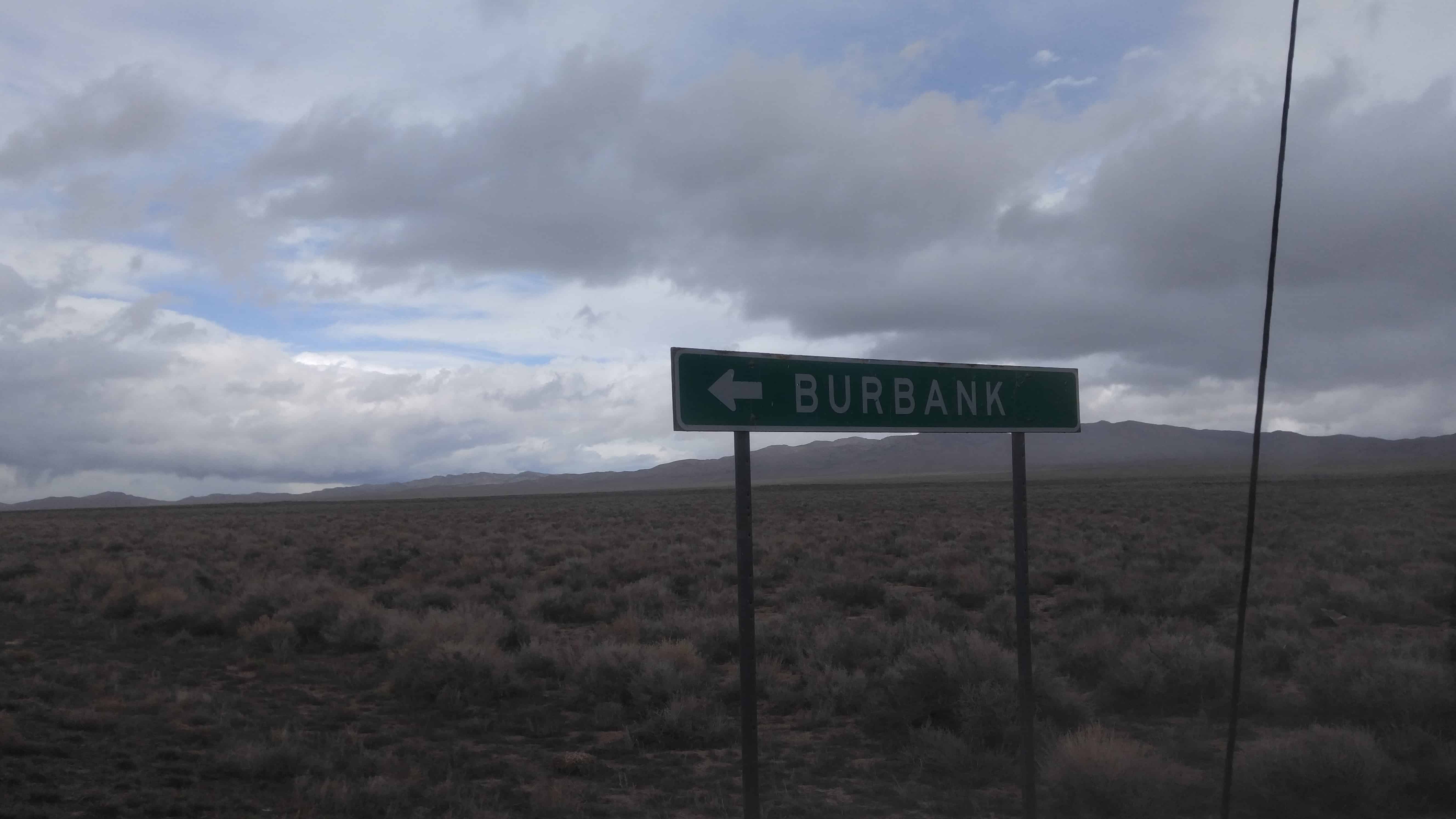
Burbank, Utah is a little South of Garrison in Millard County, near the Nevada border.
Burbank was founded as a Mormon farming community in the 1870s, with an early post office located at the Dearden Ranch. It was named after Margie Burbank Clay, the wife of local Judge E. W. Clay. Clay was used as the name of the major spring that was first used by the settlers. This spring is the main source of water for Pruess Lake, to the north. Outlaws, cattle rustlers, and uncertainty over the local water sources caused the abandonment of the community, with the exception of the Dearden Ranch.
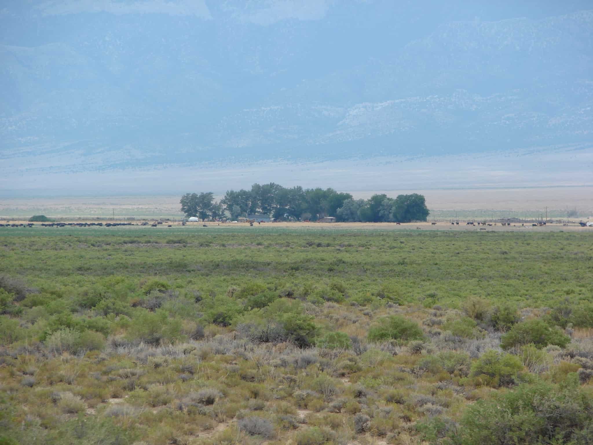
The Dearden Ranch was started in 1886 and has been home to the Dearden family ever since. The local springs that flow into Lake Creek have been informally named after the ranch, but are not named on maps or other documents, with the exception of water rights documents, which do name it Dearden Springs.(*)