• About JacobBarlow.com
  • Cemeteries in Utah
  • D.U.P. Markers
  • Doors
  • Exploring Utah Email List
  • Geocaching
  • Historic Marker Map
  • Links
  • Movie/TV Show Filming Locations
  • Oldest in Utah
  • Other Travels
  • Photos Then and Now
  • S.U.P. Markers
  • U.P.T.L.A. Markers
  • Utah Cities and Places.
  • Utah Homes for Sale
  • Utah Treasure Hunt

JacobBarlow.com

~ Exploring with Jacob Barlow

JacobBarlow.com

Tag Archives: Millard County

Hermit’s Cabin

30 Saturday Aug 2025

Posted by Jacob Barlow in Uncategorized

≈ 1 Comment

Tags

Millard County, utah

Hermit’s Cabin

The Hermit’s Cave was constructed by a man named Bob Stinson. Bob served his country in World War I. Upon returning home from the war he learned that his girlfriend left and married another man. Heart broke he decided to travel to Delta Utah to visit his brother in 1929. While making his way through the Marjum Pass just 45 miles from Delta Utah; Bob’s house on wheels broke down. Looking for shelter Bob located a small natural cave in the side of a canyon. By using local rock, he enclosed the front of the cave which is now known as the Hermit’s Cave House, or Hermit’s Cabin. Bob was often called the Hermit of Marjum Pass. The government paid him to keep the pass clear of debris, as it was at the time the major east/west highway from Delta to Nevada. To earn extra spending money he trapped bobcats and coyotes, mixed poisons for the government to kill grasshoppers, and he even raised a handful of sheep. When Bob would have visitors, out of the greatness of his heart, he would offer them a glass of home brew. In 1951 Bob lost his road job when the new paved highway was built several miles to the south. Bob, then in his 70’s, moved into Delta to be near a few more creature comforts. At the age of 80 when Bob passed away he was cremated and his ashes were spread at the base of the rock house he built in Marjum Pass. Please protect the Hermit’s Cave for many more generations. Please don’t lean on the walls and don’t leave your mark in anyway. Always pack out your trash.*

West Desert Sinkhole

26 Wednesday Mar 2025

Posted by Jacob Barlow in Uncategorized

≈ Leave a comment

Tags

Badgers, Millard County, Sinkholes, utah

West Desert Sinkhole is one of the sinkholes in the West Desert of Millard County, Utah

I did see a badger nearby as well.

Pharo Village

28 Saturday Dec 2024

Posted by Jacob Barlow in Uncategorized

≈ Leave a comment

Tags

Millard County, NRHP, utah

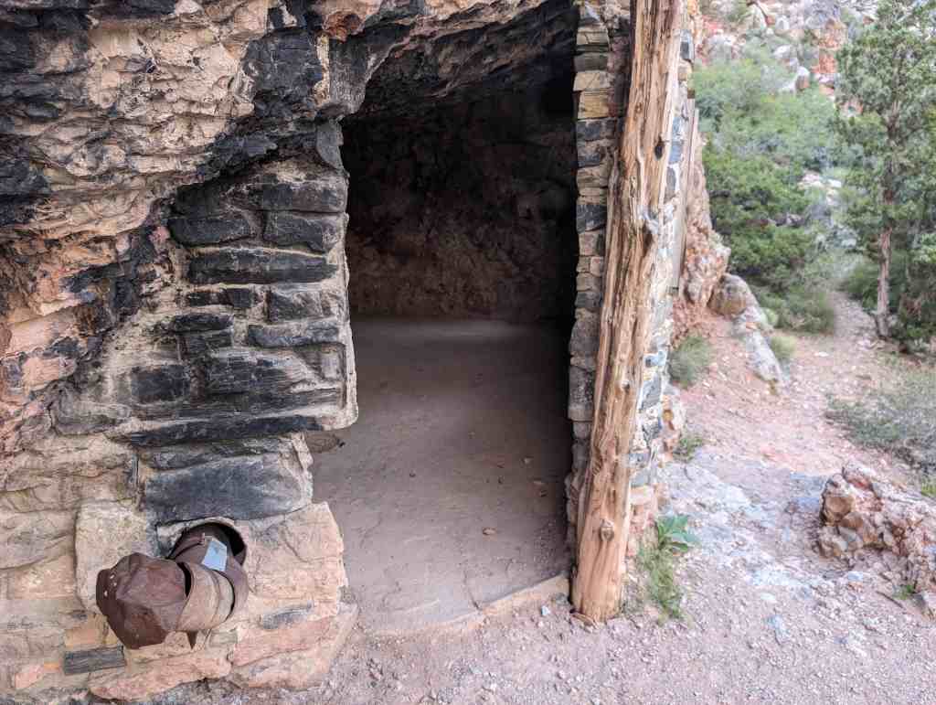
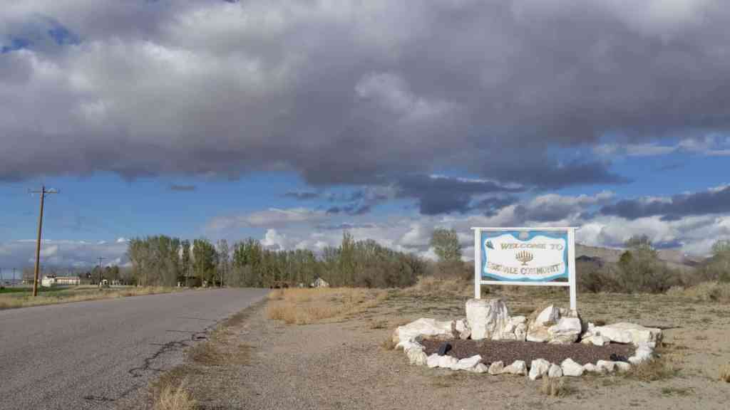
Pharo Village is located in Millard County, Utah and was added to the National Historic Register (#75001813) on October 10, 1975. The text on this page is from the national register’s nomination form.

Pharo Village is recognized as one of the type sites of the Sevier-Fremont, one of the five variants of the agricultural Fremont culture, The Fremont culture area includes all of Utah except for the southernmost portion of the state, and extends into eastern Nevada, western Colorado and southern Wyoming. The Sevier-Fremont variant, dated between A.D. 780-1260 is geographically situated in the region between Utah and Sevier Lakes (north-south), the Wasatch Plateau to the east and extends west into Nevada. Radiocarbon dates from Pharo Village of A, D, 1190+80 and A. D. 1260+90 indicate that the site was occupied in the later part of the period, probably some 200 years after the occupation of the other important Sevier-Fremont type site, Nephi. Design elements on the pottery recovered at Pharo Village indicate that occupation may have continued past A. D. 1260.

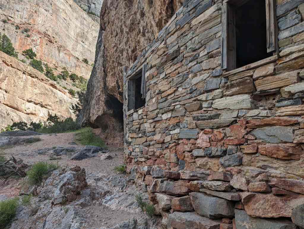
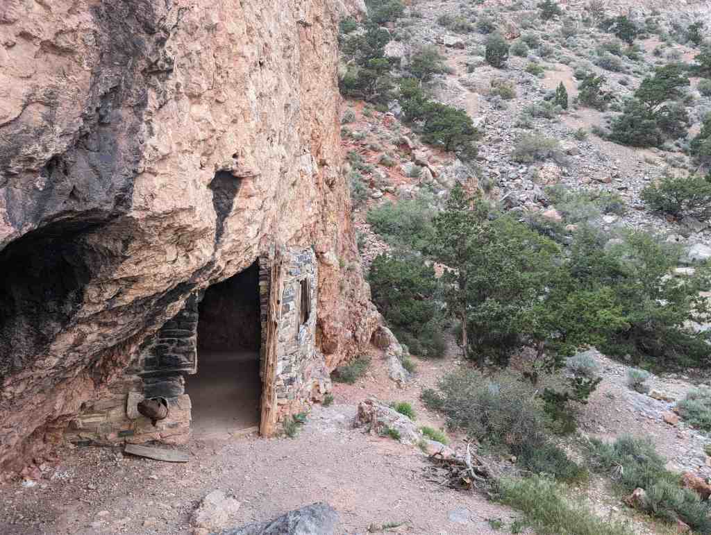
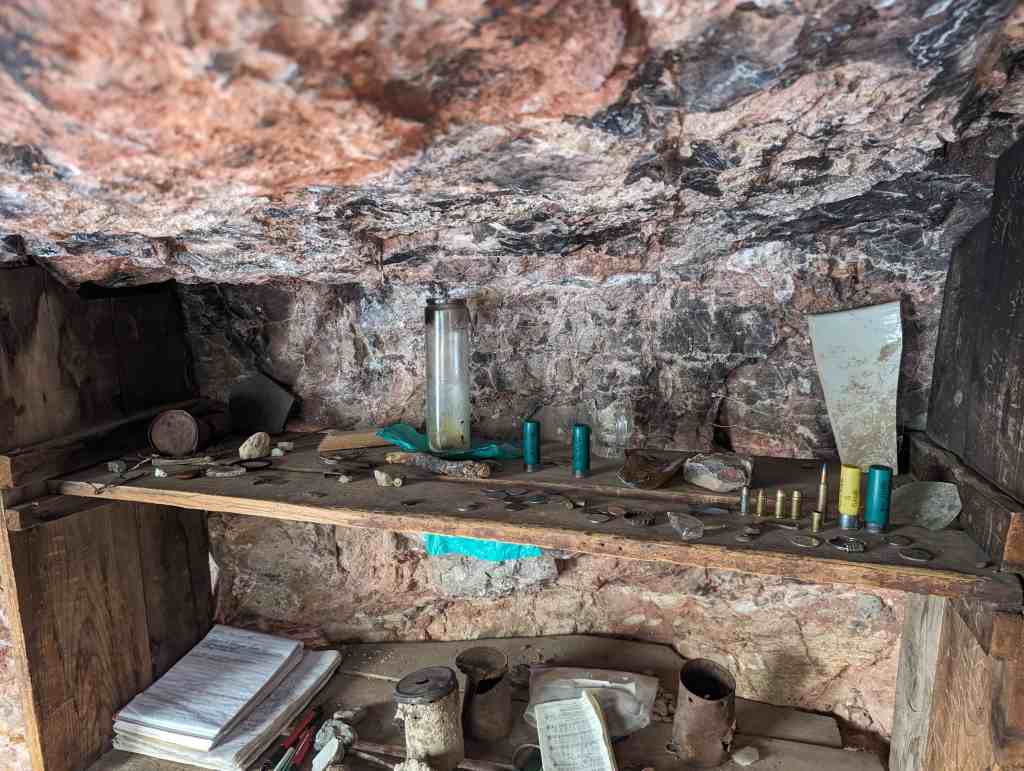
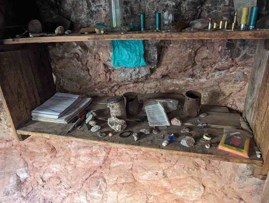
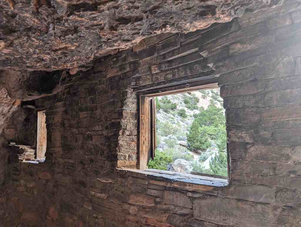
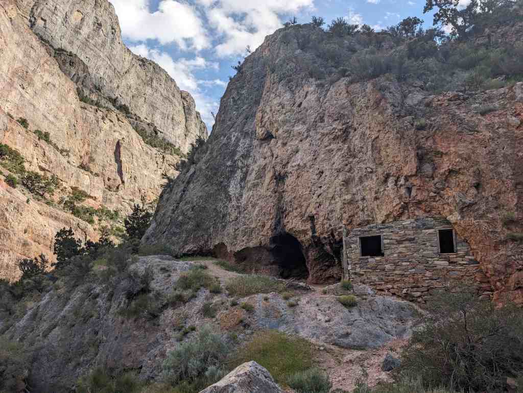
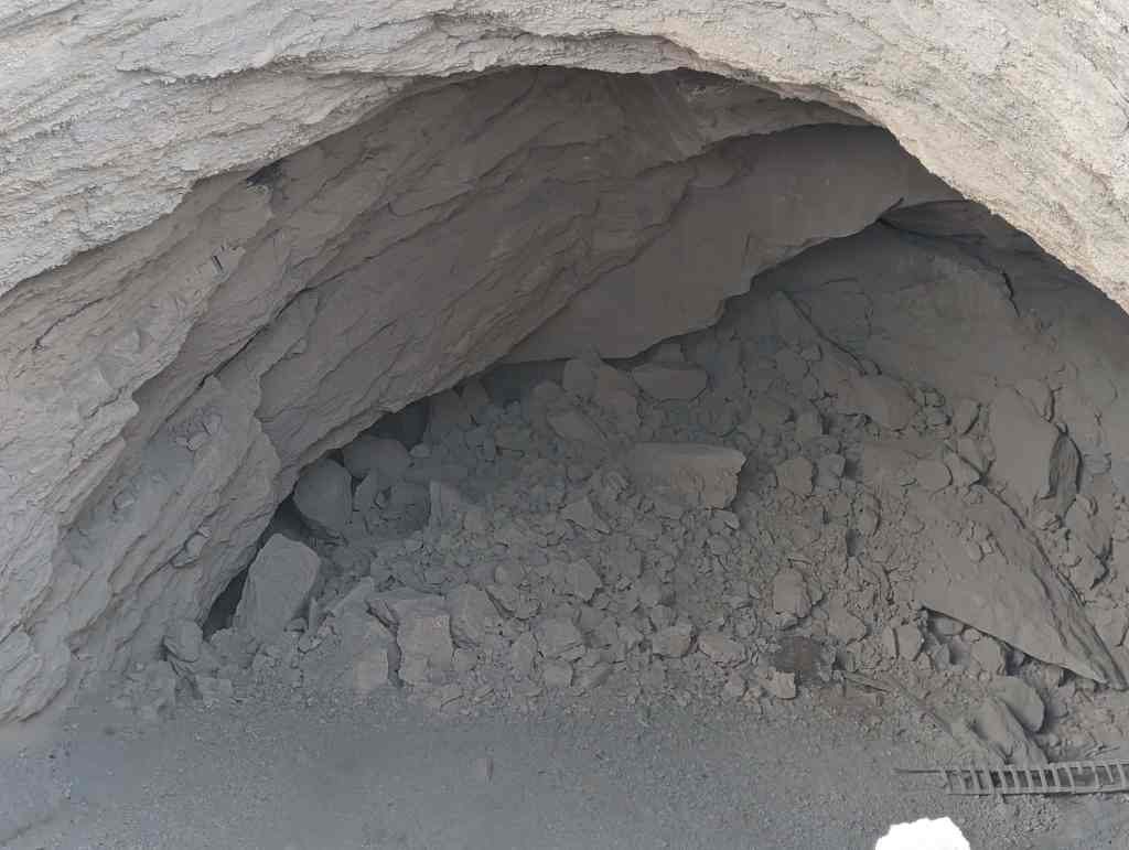
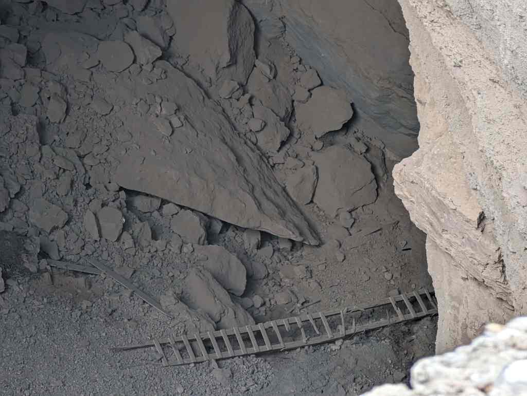
Although distinctly Sevier-Fremont in affiliation, Pharo Village illustrates the internal diversity of the Fremont culture as a whole, in its various architectural features as well as in the several types of pottery which were found at the site. The ten structures excavated at Pharo Village represent three different architectural types, and include three pit structures which are interpreted as dwellings and coiled adobe surface structures of various forms which probably functioned as granaries or storage rooms. A rectangular arrangement of stones was also uncovered probably the remains of a masonry and adobe granary, A total of 12,273 sherds and 24 partially restorable pottery vessels was recovered, This is one of the largest ceramic samples from any Sevier-Fremont site; excavated to this date and is unusual in that it was concentrated in such a small area. ‘With minor exceptions, all pottery from Pharo Village belongs to established Fremont or Sevier-Fremont types and includes Snake Valley Gray, Sevier Gray, Snake Valley Black on White, Ivie Creek Black on White.

In addition to pottery, a large quantity of other artefactual material was recovered whose analysis yielded important data on various aspects of the Fremont culture. Food remains from the site included charred corncobs and cornstalks, as well as relatively. large quantities of boney Analysis of this bone indicated that ungulates ware probably the major food animals, with bighorn sheep and mule deer predominating, Evidence for the importance of horticulture in the subsistence regime (in addition to the food remains) included a large number of grinding stones, and a high proportion of storage structures over dwellings. In addition, the location of the village on an alluvial fan, where crops could take advantage of ground iroisture, probably insured a relatively stable crop yield.

Thus, Pharo Village is an important site in many respects/ not only has it been significant for the interpretation of the nature of the Fremont culture and its internal diversity, but it has produced significant information regarding those cultures in the Great Basin which practiced agriculture.

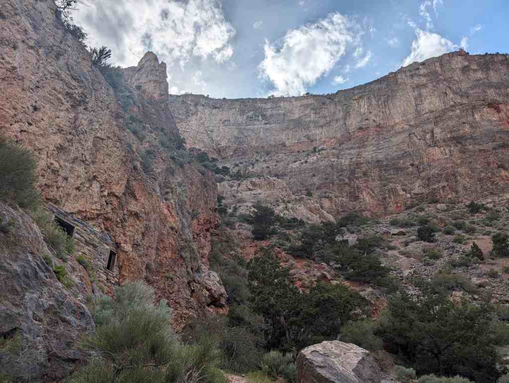
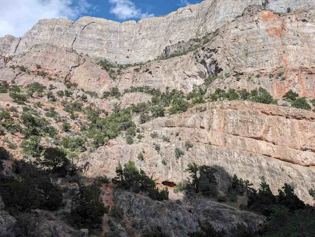
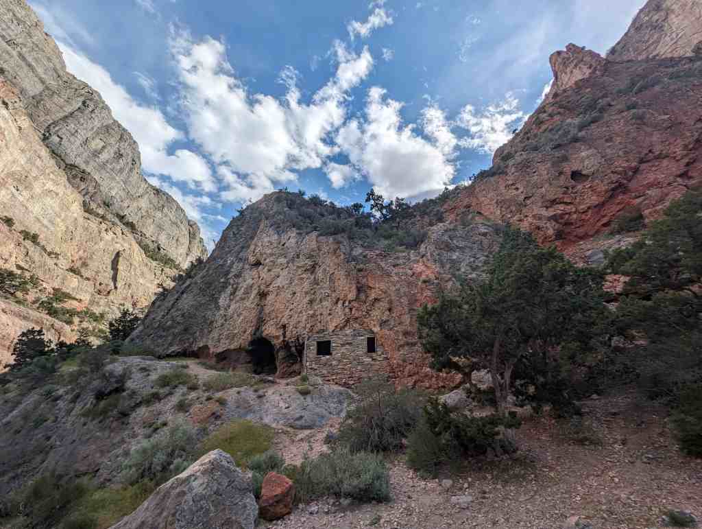
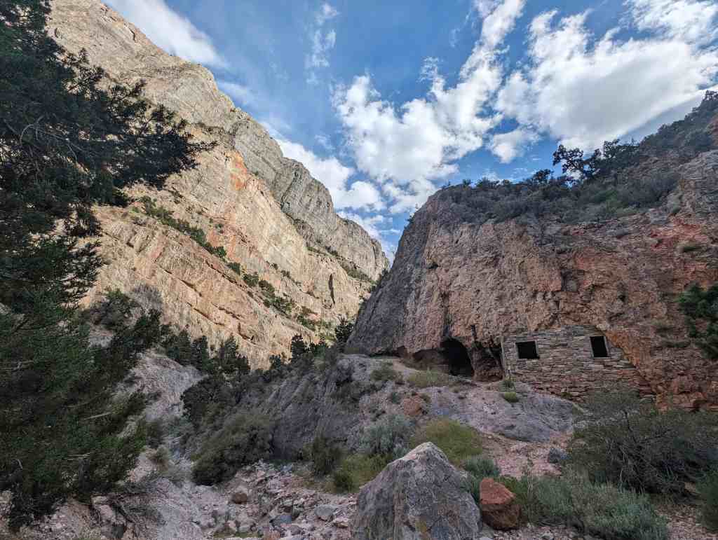
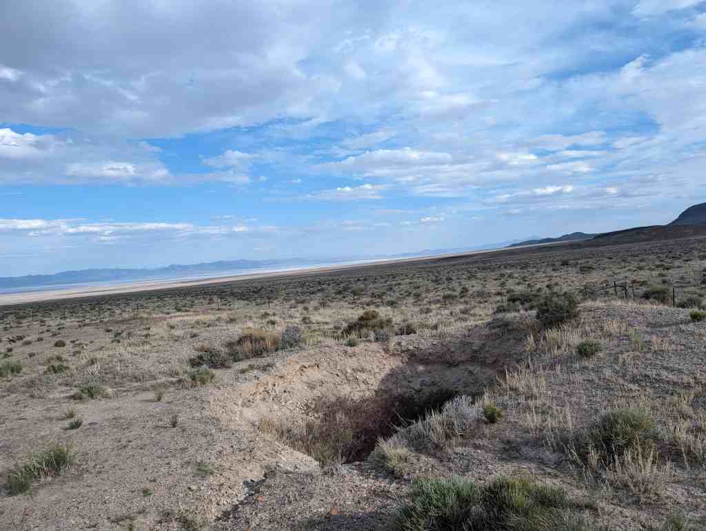
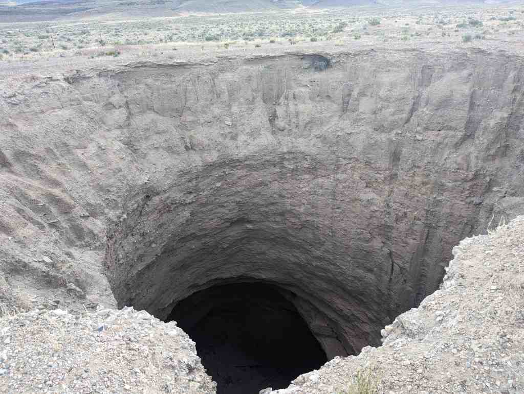
Pharo Village,, at an elevation of 6240 feet, is located near the south end of the Upper Round Valley near the boundary between the Basin-Range and Colorado Plateau provinces. The valley is an area of interior drainage with several perennial streams rising in the Pavant Range which borders the valley on the west.

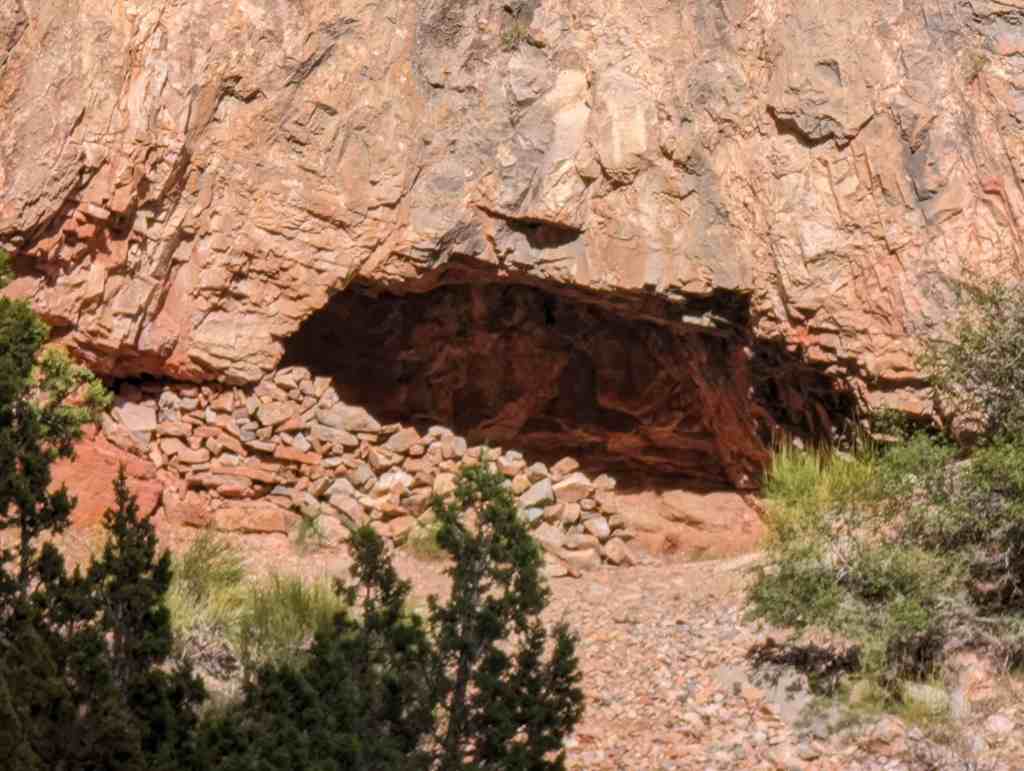
“Pharo Villacre is located on an alluvial fan. The area of occupation extends irregularly for ca. 700 feet parallel to the creek with two major concentrations of cultural materials. (Marwitt 1968:3) The smaller concentration is located on top of a 15 foot high fault scarplet.

At present, most of the site area is dissected by small dry washes extending east from Pharo Creek. Numerous surface rocks and a thin coating of alluvium were deposited on the site during the first decade of this century when over grazing in the Pavants resulted in extensive canyon erosion.

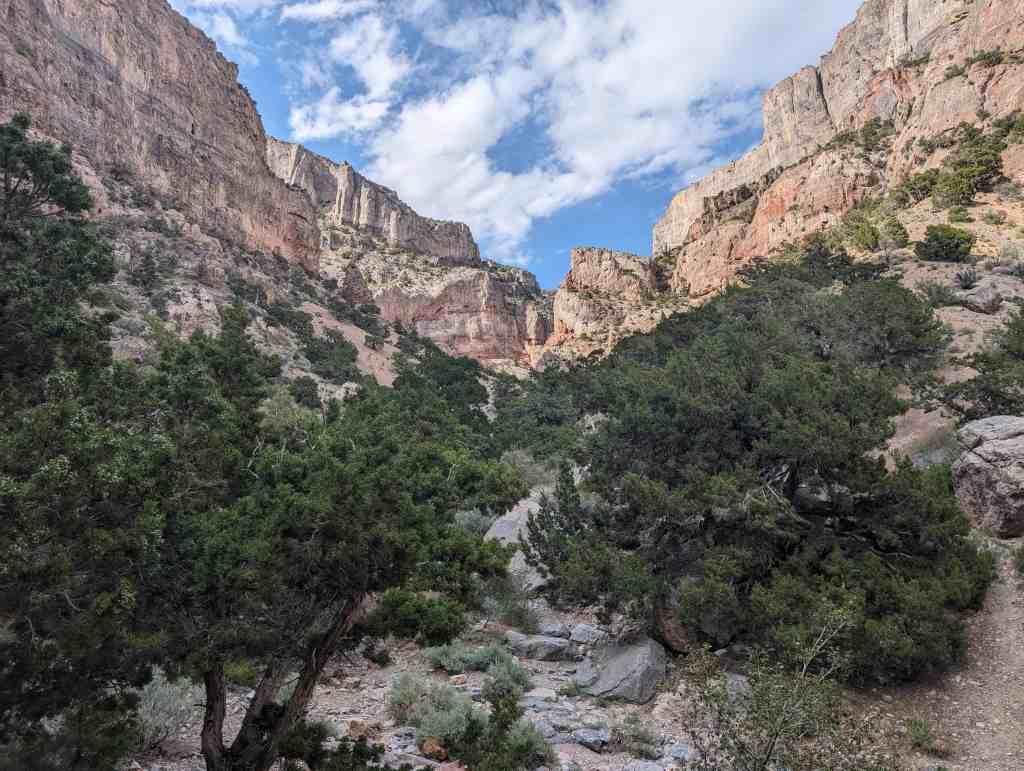
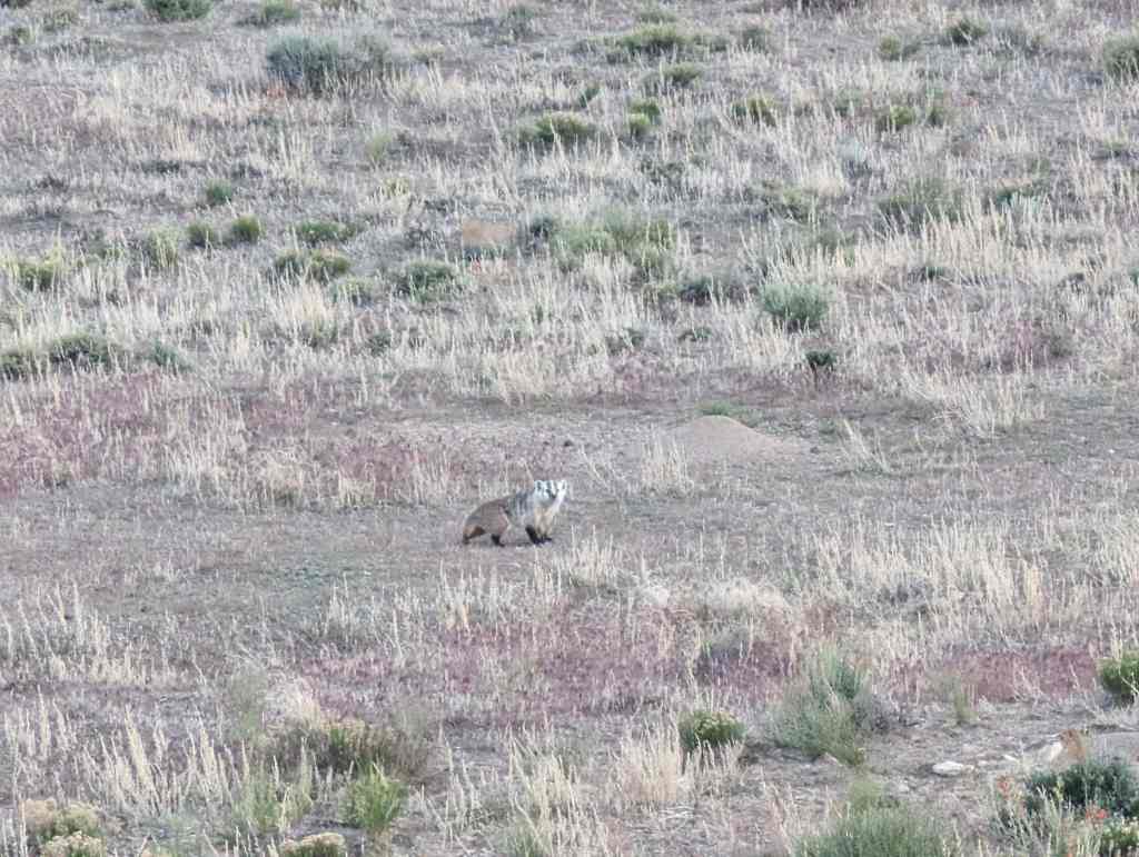
Pharo Village is located in the western half of the valley. which is relatively well-watered, in a zone of sagebrush and rabbitbrush vegetation, Numerous other low mounds and surface concentrations of cultural material which represent living sites are scattered along the western half of the valley and attest to the aboriginal occupation of Upper Round Valley, Like Pharo Village, which appears to be the most extensive of these sites, they are concentrated on the alluvial fans near perennial streams. Today animal resources of the valley are limited, but game is plentiful in the Pavants and deer commonly descend to the valley floor in winter, Conditions were probably much more favorable in aboriginal tines. Soils are extensive and rich in the valley, and other natural resources, including clay for construction purposes are readily available.

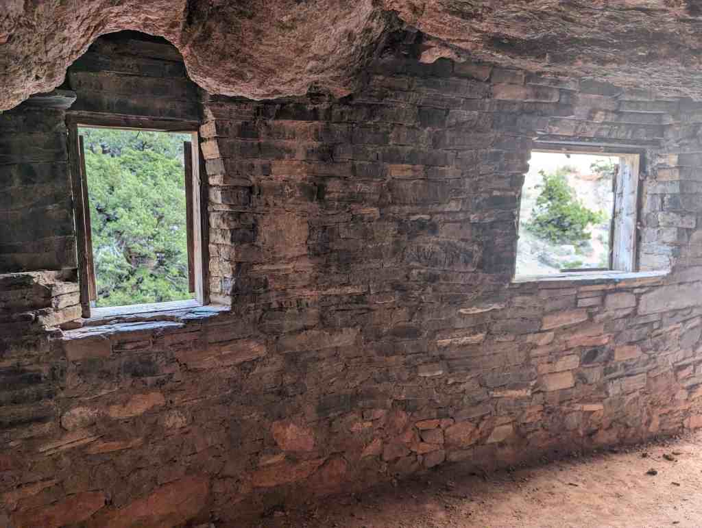
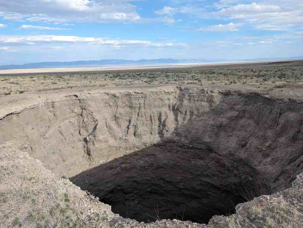
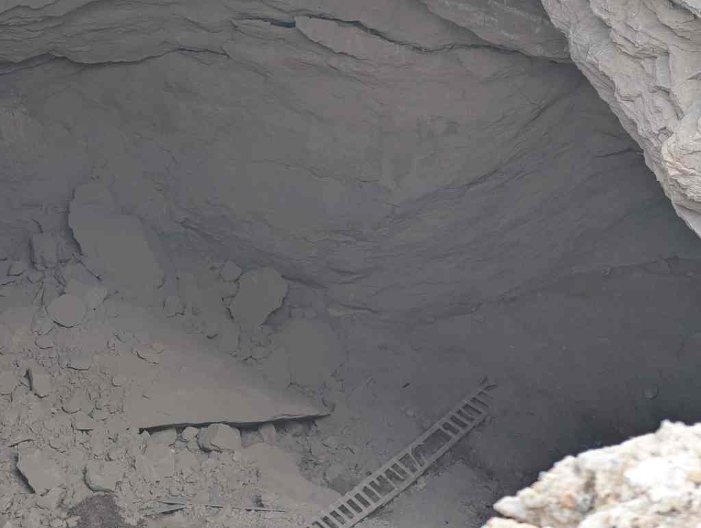
In 1967 the Department of Anthropology, University of Utah, partially excavated the larger cultural concentration on tire site which comprised approximately 10,000 square feet of low mounds covered by cultural deposits averaging two feet in thickness. The smaller concentration was not excavated, except for a test trench which uncovered one structure.

Ten structures representing three different architectural types were uncovered:

1) 3 pot structures (14 to 23 feet in diameter) interacted as dwellings, which contained fire pits and subfloor trash and storage pits.
2) a rock “alignment” which probably represents the remains of a granary.
3) 6 single- and multi-bin coiled adobe surface structures exhibiting great variation in size and detail which were probably utilized as both granaries and domestic dwellings.

Holden Park

12 Monday Jun 2023

Posted by Jacob Barlow in Uncategorized

≈ Leave a comment

Tags

Holden, Millard County, Parks, utah

120 East 100 North inĀ Holden, Utah

  • Heritage Bell
  • Holden Memorial

Leamington Cemetery

08 Thursday Dec 2022

Posted by Jacob Barlow in Uncategorized

≈ Leave a comment

Tags

Cemeteries, Leamington, Millard County, utah

The cemetery in Leamington, Utah.

  • Cemeteries in Utah

Fillmore Armory

17 Sunday Jul 2022

Posted by Jacob Barlow in Uncategorized

≈ Leave a comment

Tags

Armories, Fillmore, Historic Buildings, Millard County, New Deal Funded, NRHP, utah, WPA

The Fillmore Armory, located at 35 West Center Street in Fillmore, Utah was constructed in 1937-1938 and is associated with the second generation of Utah National Guard (UTNG) armory construction. Even in times of peace, training was essential for soldier to be effective and prepared for active service during state and national emergencies. Due to the need for a space to perform drills and store equipment, the armory became a significant property type of the UTNG. During the early 1900s, few existing facilities could accommodate National Guard training, drilling, and storage for arms and equipment. Beginning in 1928, construction began on a second generation of armories in Utah meant to specifically address these needs.

Construction of the Fillmore Armory began with New Deal era funding as part of the Works Progress Administration (WPA) during the Great Depression. Initial construction employed mostly unskilled laborers. Local men supervised the project and used locally purchased building materials. Fillmore residents also donated funds and materials to install a hardwood floor in the building.

The Fillmore Armory was primarily constructed to house Utah National Guard artillery units, including batteries of the 213th Field Artillery Battalion (disbanded in 1967) as well as the 222nd Field Artillery Battalion. Members of these units would train in Fillmore and go on to serve overseas during the Second World War and the Korean War. Later, the 222nd would complete two deployment tours during the Iraq War. In addition to its use in military defense, the building has also served as a community recreation center and dance hall. Ownership of the armory was transferred from the Utah National Guard to the City of Fillmore in 2019 for continued public use.

Located at 35 West Center Street in Fillmore, Utah and added to the National Historic Register on (#100006003) January 4, 2021.

Related:

  • New Deal Funded Projects in Utah

Holden

12 Tuesday Jul 2022

Posted by Jacob Barlow in Uncategorized

≈ Leave a comment

Tags

Historic Marker, Holden, Millard County, utah

Established by Mormon Pioneers in 1855, as Fort Cedar Springs. Church President Brigham Young gave permit for the families of William Stevens Sr. and Richard Johnson to start a settlement near these grassy, spring-fed cedar hills.

Joined that fall by eight more families. The small colony began construction of an adobe walled fort to serve as a home for the people and protection from Piute Indians. In use until 1867, it was a place of refuge for the weary frontier traveler. It came to be known as “Buttermilk Fort” because of its dairying industry and its refreshing drink.

In 1858 a Post Office was established and the name changed to honor the memory of Elijah Holden. He had perished in 1857 on the Scipio Pass (nine miles to the north) in a snowstorm, while attempting to save a small boy’s life.

Residents of Holden still radiate the enduring qualities bequeathed them by their hardy pioneering ancestors…thrift, perseverance, and a strong abiding love of God.

This historic marker is located at approximately 550 North 100 East in Holden, Utah

Eskdale, Utah

29 Sunday May 2022

Posted by Jacob Barlow in Uncategorized

≈ Leave a comment

Tags

Eskdale, Millard County, utah

Eskdale in Millard County, Utah

Lynndyl Cemetery

12 Wednesday Jan 2022

Posted by Jacob Barlow in Uncategorized

≈ Leave a comment

Tags

Cemeteries, Lynndyl, Millard County, utah

The cemetery in Lynndyl, Utah.

Related:

  • Dave Lallas

Millard County Court House

10 Monday Jan 2022

Posted by Jacob Barlow in Uncategorized

≈ Leave a comment

Tags

Courthouses, Fillmore, Millard County, utah

Millard County Courthouse
50 South Main Street inĀ Fillmore, Utah

  • Millard County Veterans/Military Monument
← Older posts

Follow Jacob

Follow Jacob

Blog Stats

  • 2,061,052 hits

Social and Other Links

BarlowLinks.com

Recent Posts

  • Navajo Shadehouse Museum
  • Impossible Canyons
  • The Old Hurricane Bell
  • Goulds Shearing Corral
  • Morgan Union Pacific Depot

Archives

Loading Comments...