The Mirror Lake Scenic Byway: a Jewel in the Mountains
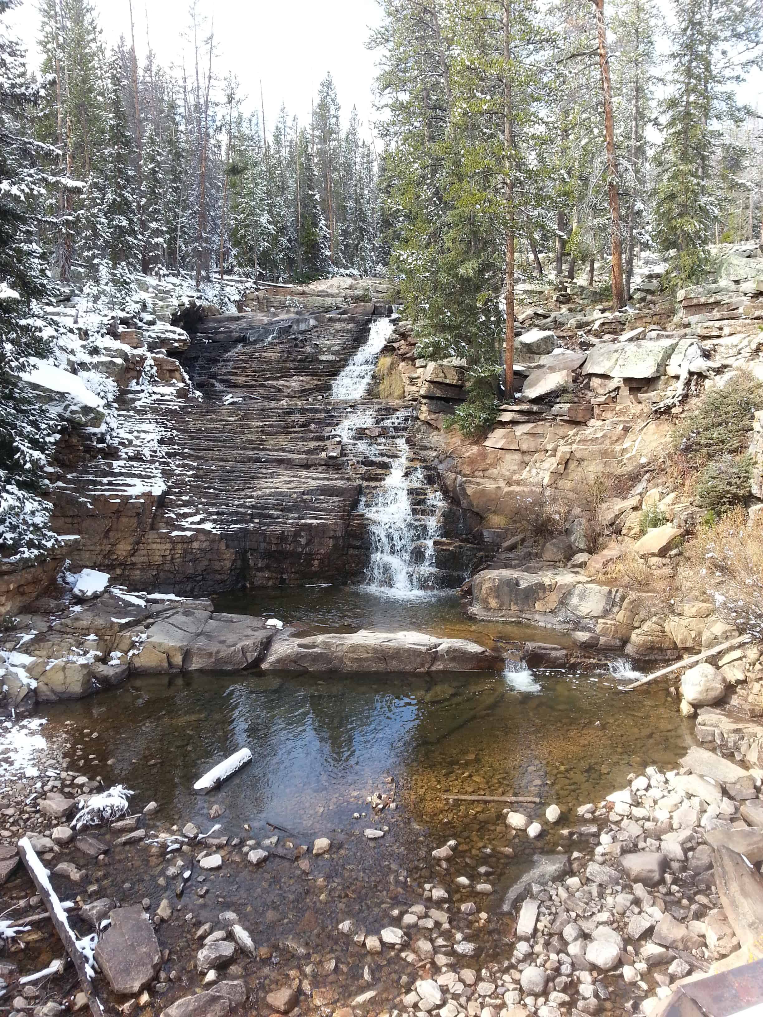
See also, Duchesne Tunnel, Mirror Lake, Provo River Falls, and another Provo River Falls.
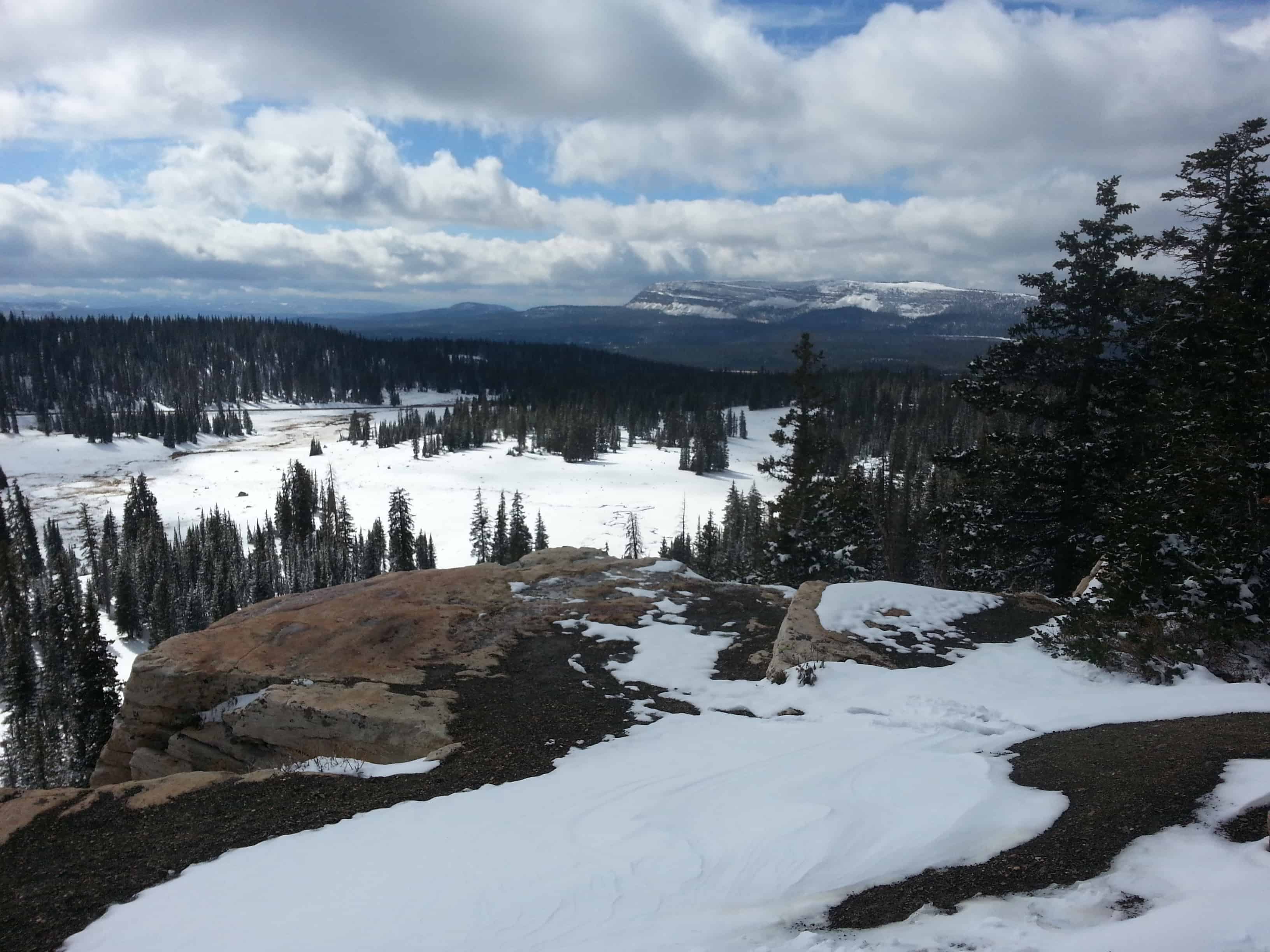
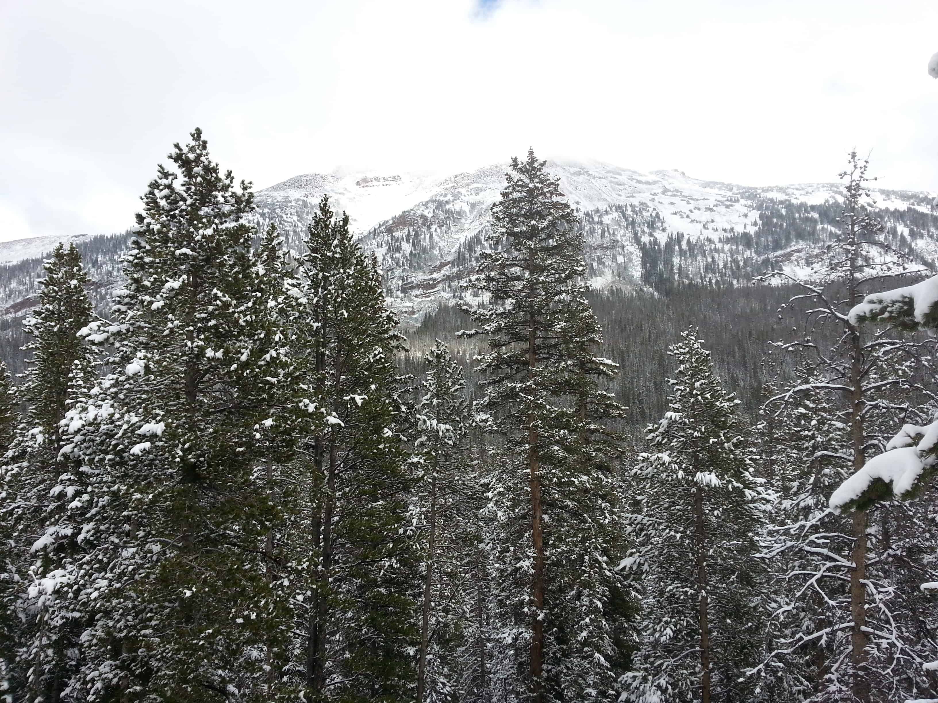
The Mirror Lake Scenic Byway winds its way through the Uinta Mountains and connects travelers to a land rich with natural treasures. Along its 42 mile journey through the Wasatch-Cache National Forest, the Byway passes through the nation’s longest east-west mountain range (the Uintas); through watersheds, which form the headwaters of four major rivers (the Provo, Bear, Weber and Duchesne); past glacially carved lakes and valleys and beneath 13,000 foot peaks.
The land you see before you is rich with plant and animal life. Except for desert species, most of Utah’s plant and animal species are found along the Byway. To travel the Mirror Lake Scenic Byway is to filly experience Utah’s rich geological and natural history.
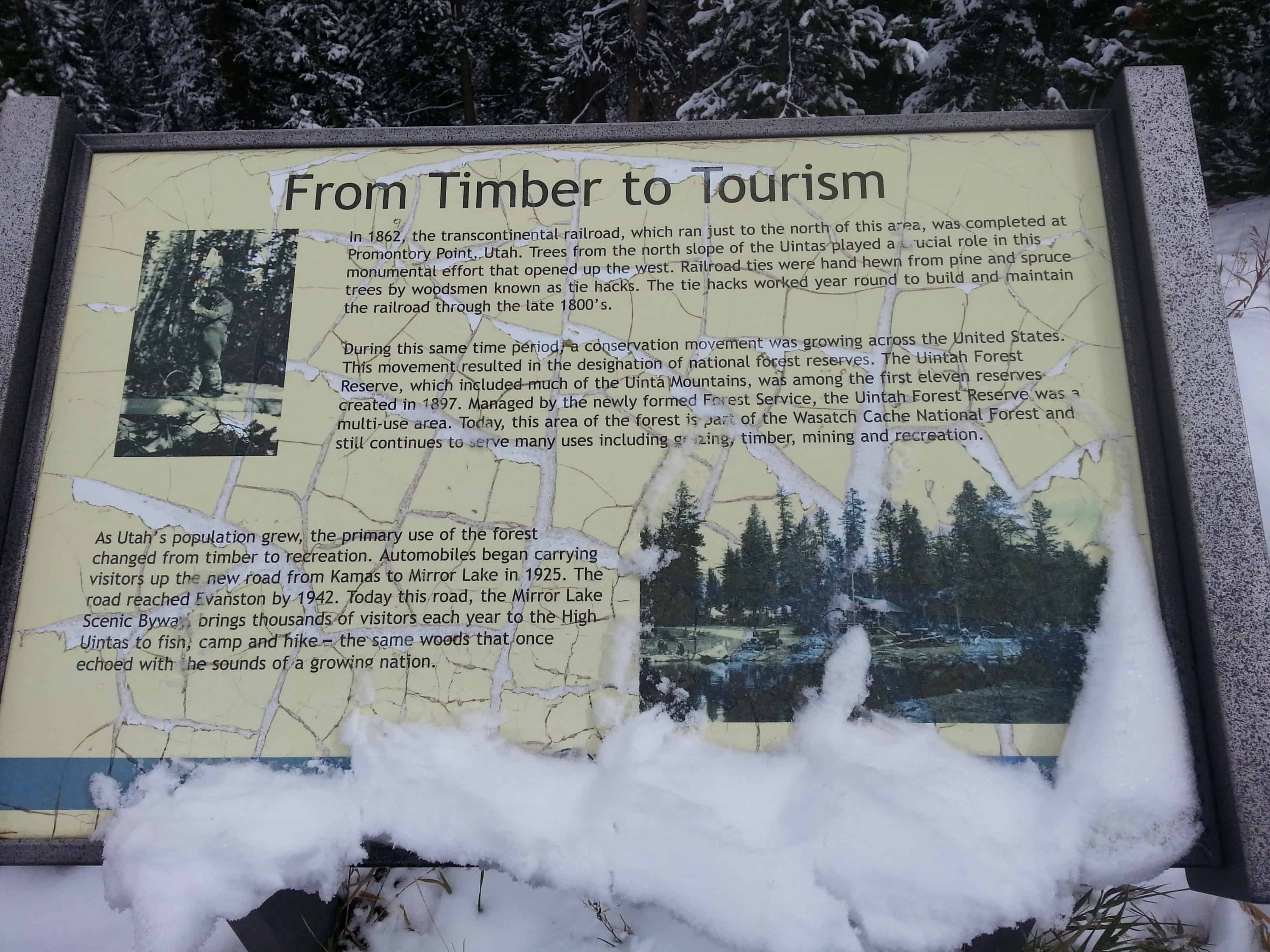
From Timber to Tourism:
In 1862, the transcontinental railroad, which ran just to the north of this area, was completed at Promontory Point, Utah. Trees from the north slope of the Uintas played a crucial role in this monumental effort that opened up the west. Railroad ties were hand hewn from pine and spruce trees by woodsmen known as tie hacks. The tie hacks worked year round to build and maintain the railroad through the late 1800’s.
During this same time period a conservation movement was growing across the United States. This movement resulted in the designation of national forest reserves. The Uintah Forest Reserve, which included the first eleven reserves created in 1897. Managed by the newly formed Forest Service, the Uintah Forest Reserve was a multi-use area. Today, this area of the forest is part of the Wasatch Cache National Forest and still continues to serve many uses including grazing, timber, mining and recreation.
As Utah’s population grew, the primary use of the forest changed from timber to recreation. Automobiles began carrying visitors up the new road from Kamas to Mirror Lake in 1925. The road reached Evanston by 1942. Today this road, the Mirror Lake Scenic Byway, brings thousands of visitors each year to the High Uintas to fish, camp and hike – the same woods that once echoed with the sounds of a growing nation.
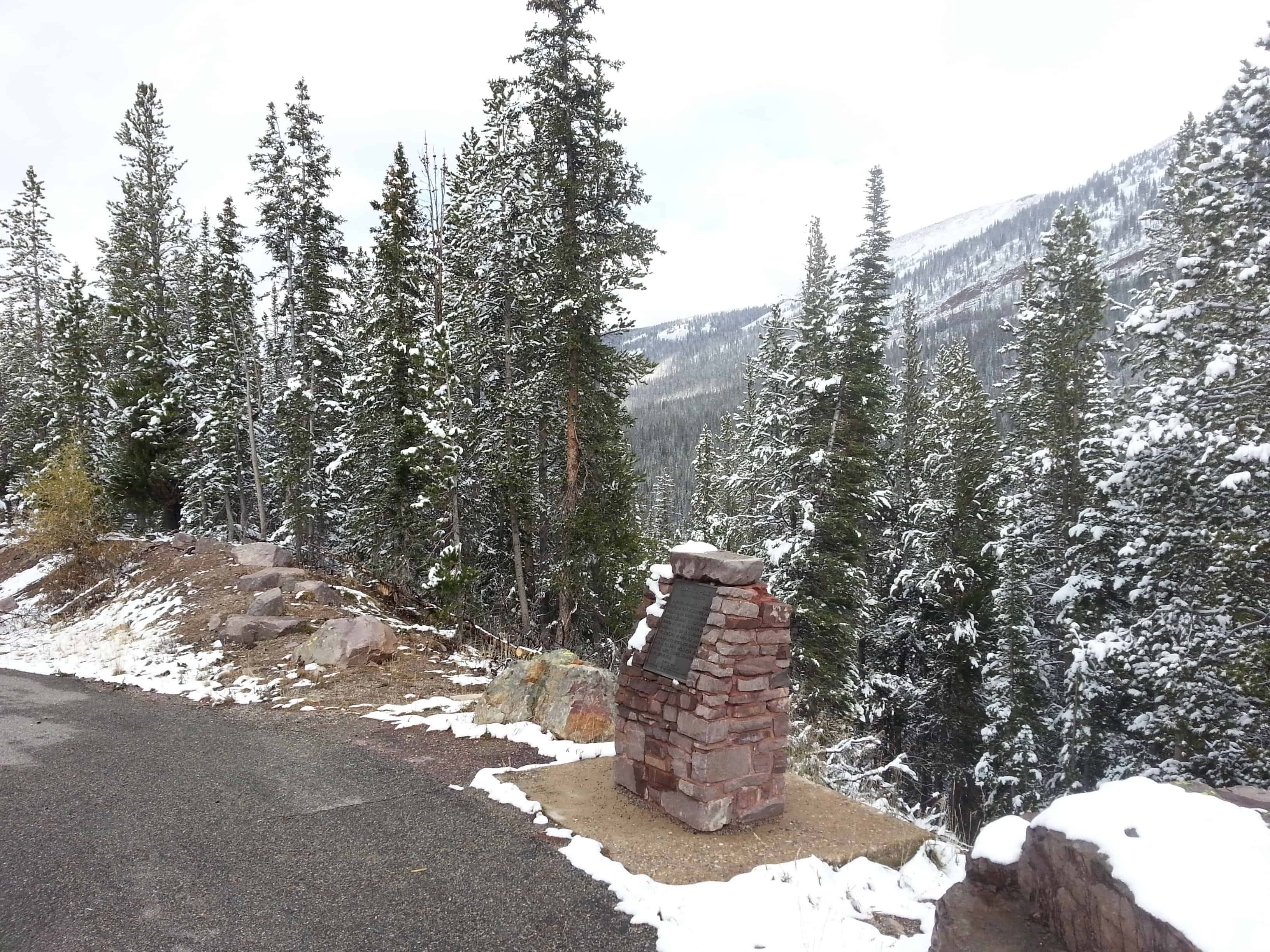
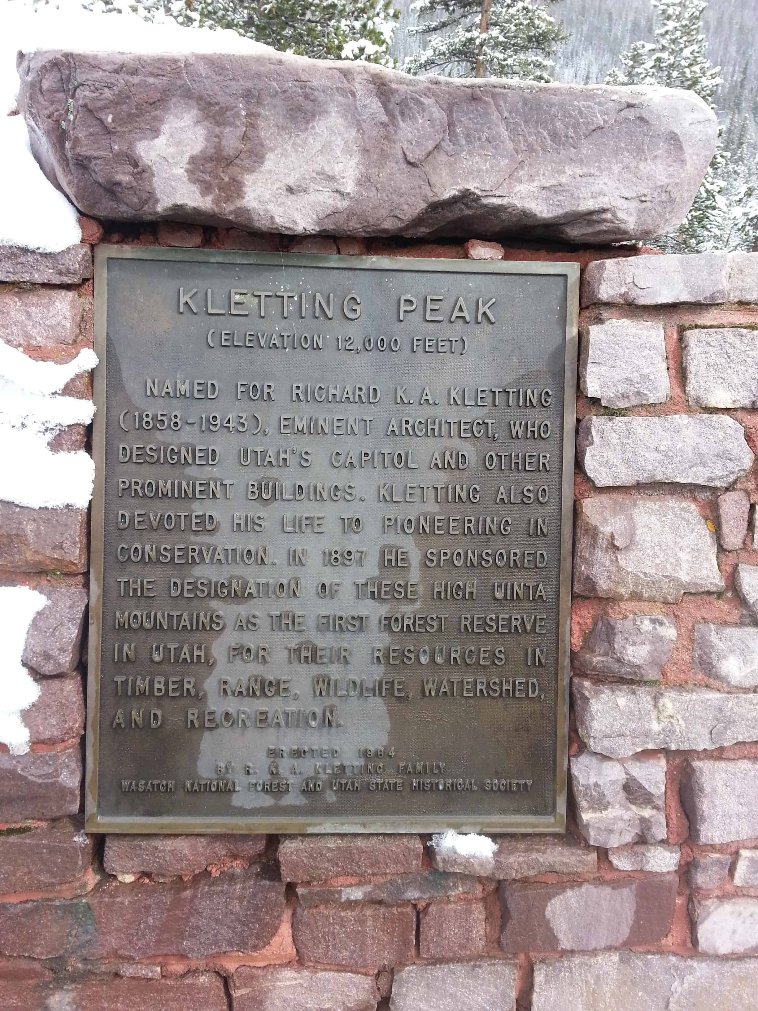
Kletting Peak (elevation 12,000 feet) was named for Richard K.A. Kletting (1858-1943), eminent architect, who designed Utah’s capitol and other prominent buildings. Kletting also devoted his life to pioneering in conservation. In 1897 he sponsored the designation of these High Uinta Mountains as the first Forest Reserve in Utah, for their resource in timber, range, wildlife, watershed and recreation.





Pingback: Provo River Falls (again) | JacobBarlow.com
Pingback: Provo River Falls | JacobBarlow.com
Pingback: Slate Gorge Overlook | JacobBarlow.com
Pingback: Duchesne Tunnel | JacobBarlow.com