
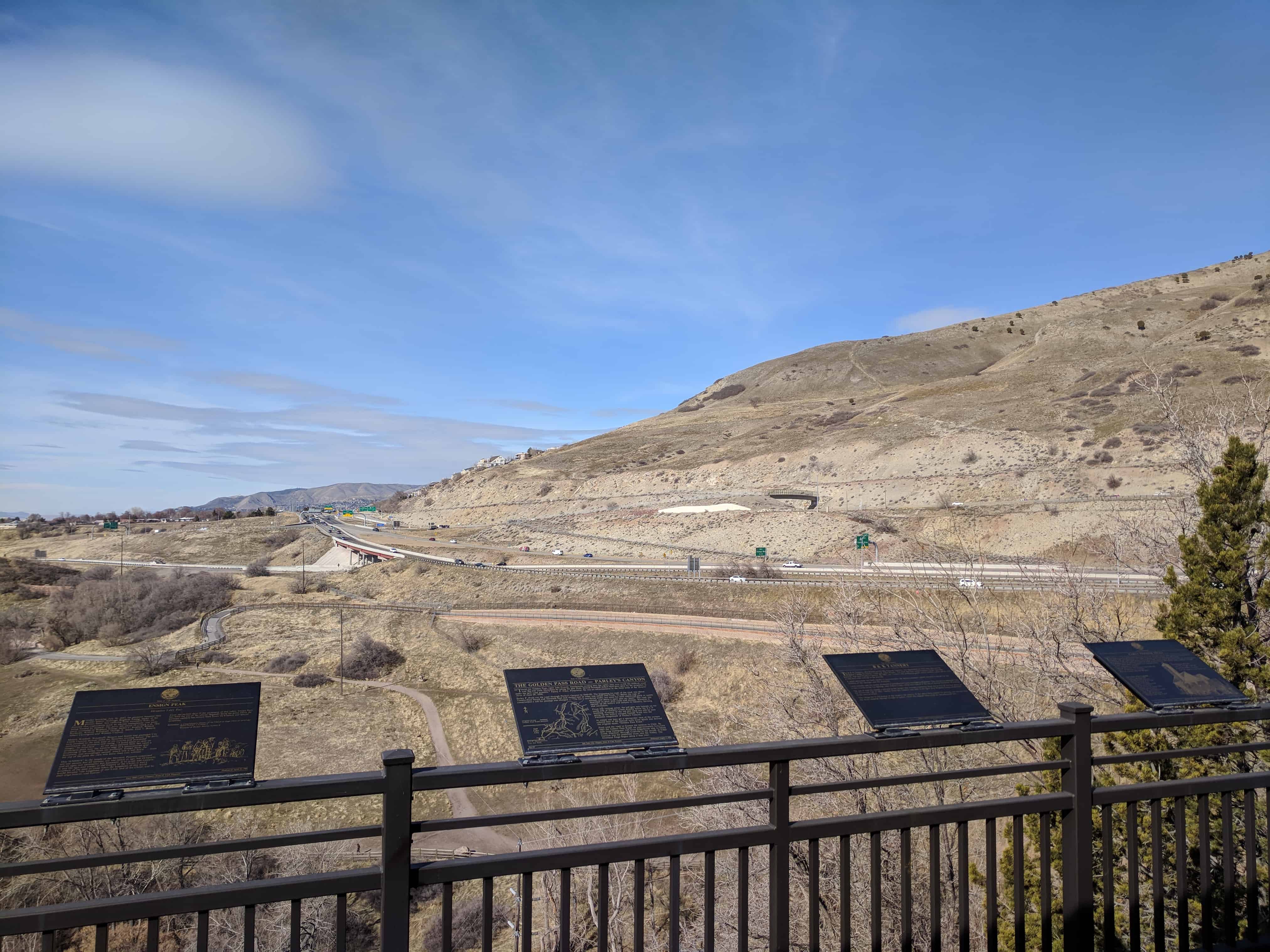
The Golden Pass Road – Parley’s Canyon
SUP Marker #4, located at the S.U.P. Building – see other S.U.P. Markers here.
“Travel the Golden Pass, Open July Fourth. Immigrants coming into the valley may now avoid the difficult route over Big and Little Mountain by taking the new route. Several thousand dollars have been spent by the proprietor to make the new road possible,” Parley P. Pratt, Proprietor. So ran an advertisement in the third issue of the Deseret News of June 29, 1850.
Parley P. Pratt cut the road through Parley’s Canyon in 1849-50. The beginning (or end) of the road was about Twenty-first South and Eleventh East and thence east to what was called Dell Fork. To defray the cost of construction a toll for passage was charged – “75¢ for a two-horse outfit, ten cents for each additional pack or saddle animal, and sheep a mere cent per head.” The road was described as poor with rocks and stumps. However it opened up the hollow and canyon to industry, farming, and recreation.
From this vantage point, the toll gate was located on the north side of Parley’s Creek directly below the S.U.P. building. Portions of the old dirt road can still be seen going up the hollow around Suicide Rock into the awesome magnitude of Parley’s Canyon.
At sunset one may get a spectacular view of the aureate colored face of the canyon wall from which was derived the original name, “Golden Pass Road.”
Pratt sold the road to finance his mission to Chile. By 1862 the Golden Pass Road, an approximately forty-two-mile long immigrant trail from Sugarhouse east to Silver Creek Junction, through Coalville to the mouth of Echo Canyon was the preferred route into the Valley. The Overland Stage began using it that year.

Pingback: S.U.P. Building | JacobBarlow.com