Hastings Cutoff – The Hogsback
“We resumed our journey up a small stream on Reid’s route [James Reed of the Donner-Reed Party], sending in advance of the wagons a small company to make the road passable. … We traveled about 6 miles, and crossing the ridge [The Hogsback], began to descend another ravine.” – Orson Pratt, July 16, 1847
Utah Crossroads Chapter – OCTA
HU-3.2
This is part of the series of California Trail markers I’ve been documenting on these pages:
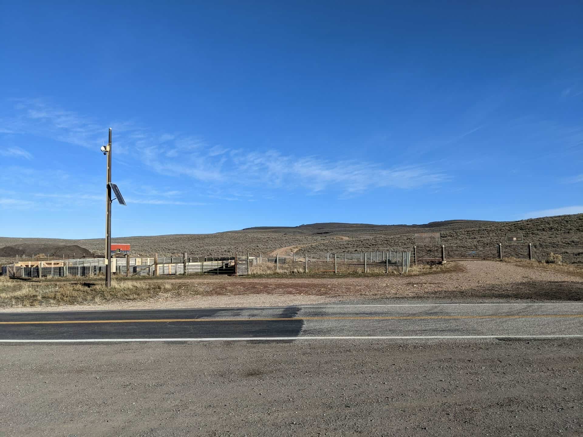
Located at N 40.95391 W 111.54986


“80 Miles to Fort Bridger”
Hogsback Summit
“The country west looks rough and mountainous,” wrote William Clayton, describing this panorama of the Wasatch Mountains. Modern historians have dubbed this summit “Heartbreak Ridge” to describe the feelings of many early Mormon Pioneers who crested this ridge. After months on the trail, traveling over 1,200 weary miles, it was heart-wrenching to discover that the most difficult part of the journey still lay ahead. Some people must have broken down and wept. Others gritted their teeth with determination and moved southwest down off Hogsback Summit to challenge the mountains and canyon that lay ahead.
“…arrived [July 19] on the summit of the dividing ridge and put a guide board up, “80 miles to Fort Bridger” … The descent is not very steep but exceedingly dangerous to wagons being mostly on the side hill over large cobble stones, causing the wagons to slide very badly. – William Clayton
This historic marker is park of the Mormon Pioneer National Historic Trail.