

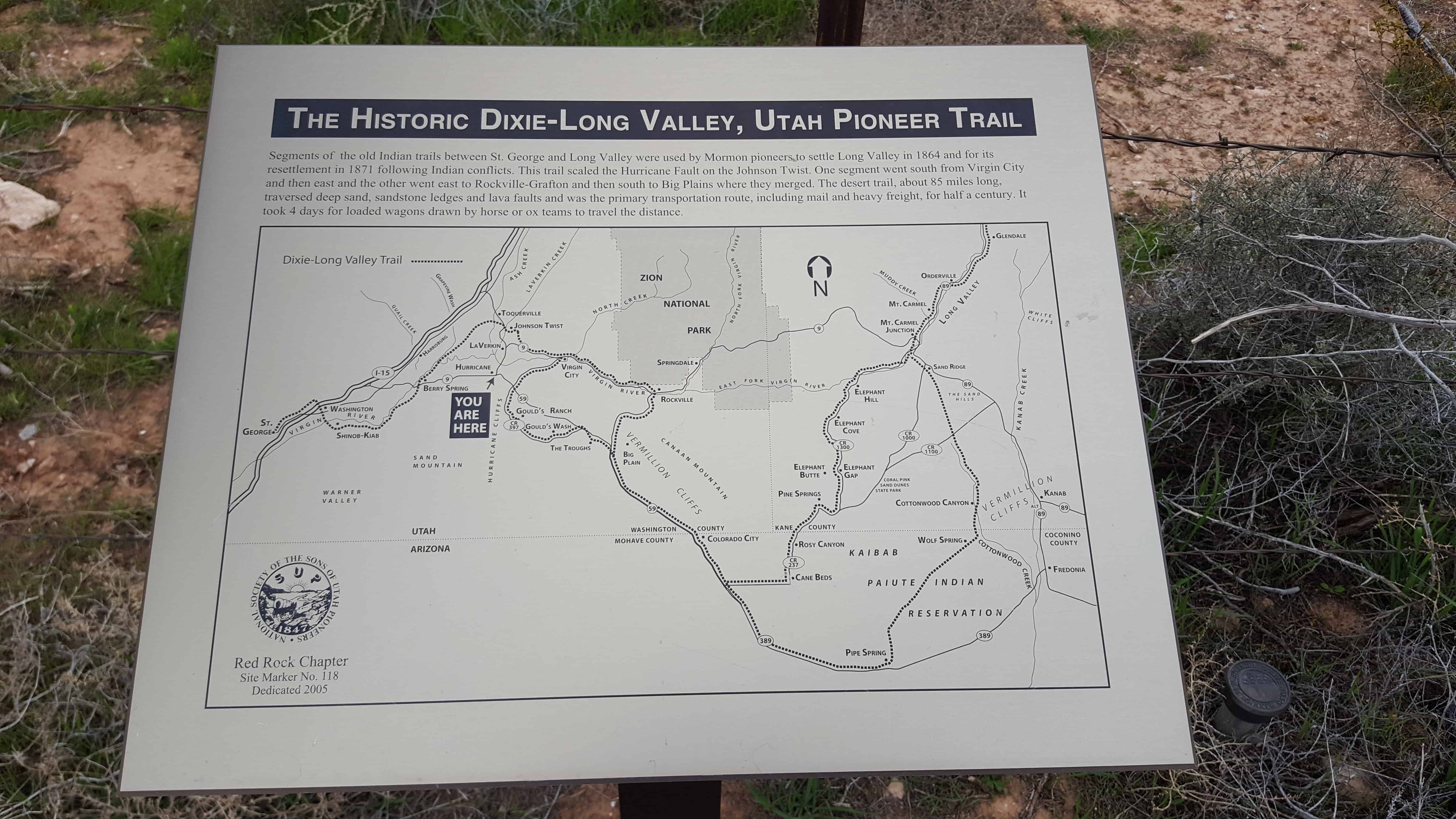
SUP Marker #118 in Hurricane. (Also located here is #101B)
Segments of the old Indian trails between St. George and Long Valley were used by Mormon pioneers to settle Long Valley in 1864 and for its resettlement in 1871 following Indian conflicts. This trail scaled the Hurricane Fault on the Johnson Twist. One segment went south from Virgin City and then east and the other went east to Rockville-Crafton and then south to Big Plains where they merged. The desert trail, about 85 miles long, traversed deep sand, sandstone ledges and lava faults and was the primary transportation route, including mail and heavy freight, for half a century. It took four days for loaded wagons drawn by horse or ox teams to travel the distance.
See other historic markers in the series on this page for SUP Markers.


Pingback: The Historic Hurricane Canal | JacobBarlow.com