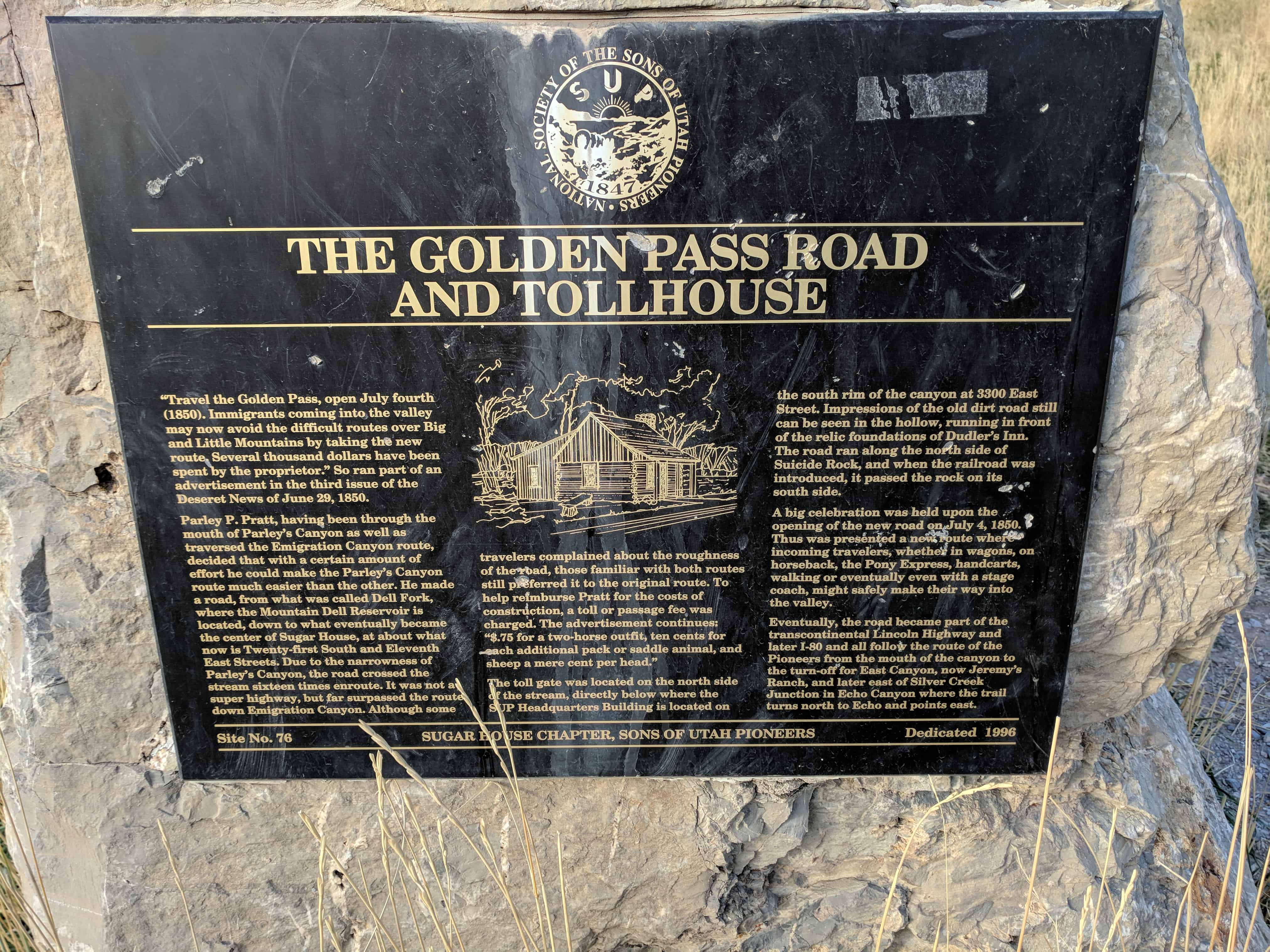
The Golden Pass Road and Tollhouse
“Travel the Golden Pass, open July fourth (1849). Immigrants coming into the valley may now avoid the difficult routes over Big and Little Mountains by taking the new route. Several thousand dollars have been spent by the proprietor.” So ran part of an advertisement in the third issue of the Deseret News of June 29, 1850.
Parley P. Pratt, having been through the mouth of Parley’s Canyon as well as traversed the Emigration Canyon route, decided that with a certain amount of effort he could make the Parley’s Canyon route much easier than the other. He made a road from what was called Dell Fork, where the Mountain Dell Reservoir is located, down to what eventually became the center of Sugar House, at about what now is Twenty-first South and Eleventh East Streets. Due to the narrowness of Parley’s Canyon, the road crossed the stream sixteen times en-route. It was not a super highway but far surpassed the route down Emigration Canyon. Although some travelers complained about the roughness of the road, those familiar with both routes still preferred it to the original route. To help reimburse Pratt for the costs of construction, a toll or passage fee was charged. The advertisement continues: $.75 for a two-horse outfit, ten cents for each additional pack or saddle animal, and sheep a mere cent per head.”
The toll gate was located on the north side of the stream directly below where the SUP Headquarters is located on the south rim of the canyon at 3300 East Street. Impressions of the old dirt road still can be seen in the hollow, running in front of the relic foundations of Dudler’s Inn. The road ran along the north side of Suicide rock, and when the railroad was introduced it passed the rock on its south side.
A big celebration was held upon the opening of the new road on July 4, 1850. Thus was presented a new route where incoming travelers, whether in wagons, on horseback, the Pony Express, handcarts, walking or eventually even with a stage coach, might safely make their way into the valley.
Eventually the road became part of the transcontinental Lincoln Highway and later I-80 and all follow the mouth of the canyon to the turn-off for East Canyon, now at Jeremy’s Ranch, and later east of Silver Creek Junction in Echo Canyon where the trail turns north to Echo and points east.
This is SUP Marker #76, to see the other SUP Markers visit this page. This marker is located in Parley’s Historic Nature Park along with 4 others (listed on the park’s page).


Pingback: Lincoln Highway Markers | JacobBarlow.com