• About JacobBarlow.com
  • Cemeteries in Utah
  • D.U.P. Markers
  • Doors
  • Exploring Utah Email List
  • Geocaching
  • Historic Marker Map
  • Links
  • Movie/TV Show Filming Locations
  • Oldest in Utah
  • Other Travels
  • Photos Then and Now
  • S.U.P. Markers
  • U.P.T.L.A. Markers
  • Utah Cities and Places.
  • Utah Homes for Sale
  • Utah Treasure Hunt

JacobBarlow.com

~ Exploring with Jacob Barlow

JacobBarlow.com

Tag Archives: Halchita

Halchita, Utah

19 Wednesday Apr 2017

Posted by Jacob Barlow in Uncategorized

≈ 1 Comment

Tags

Halchita, Mexican Hat, Monument Valley, San Juan County, utah

2017-03-12 14.36.55

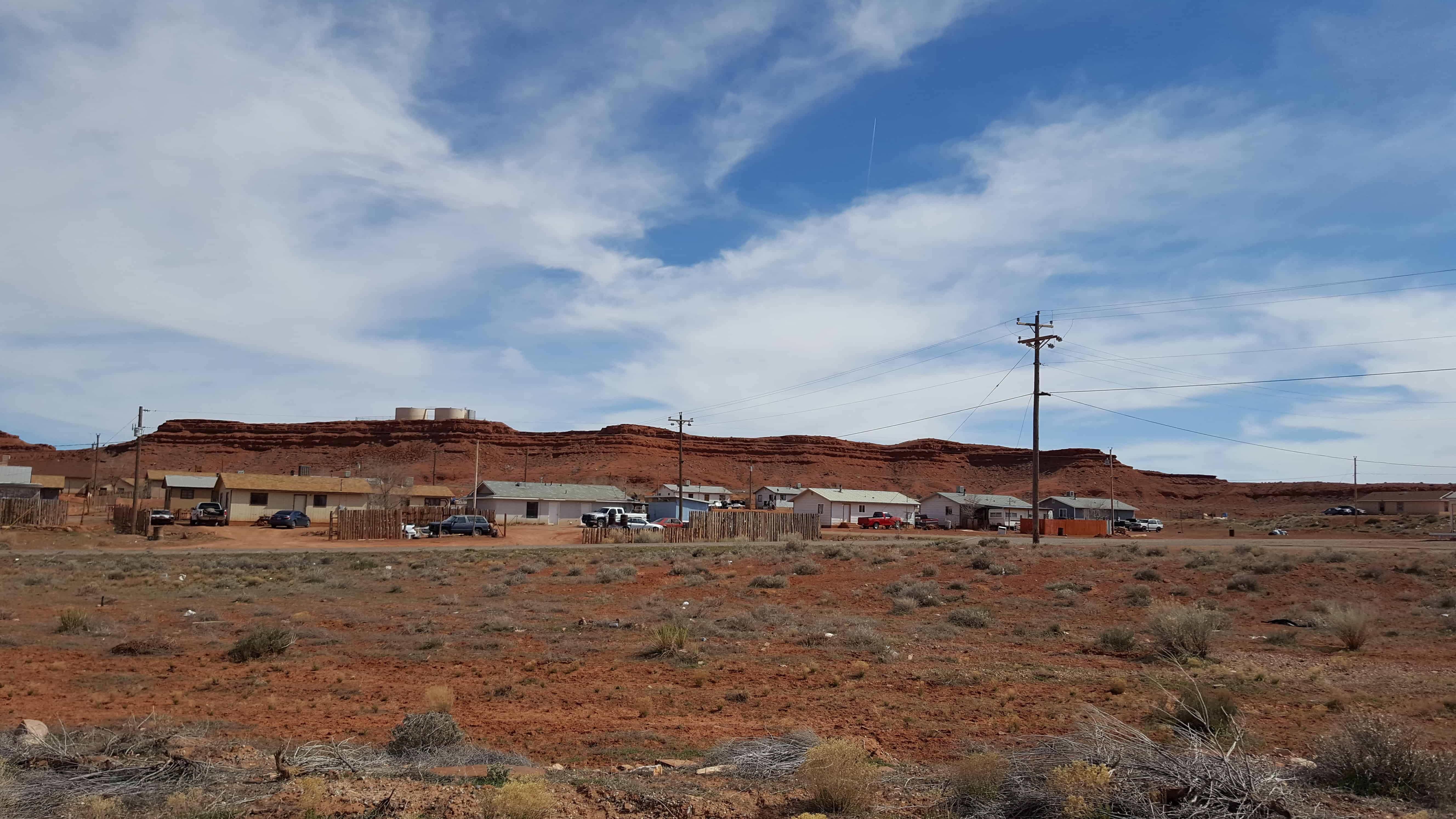
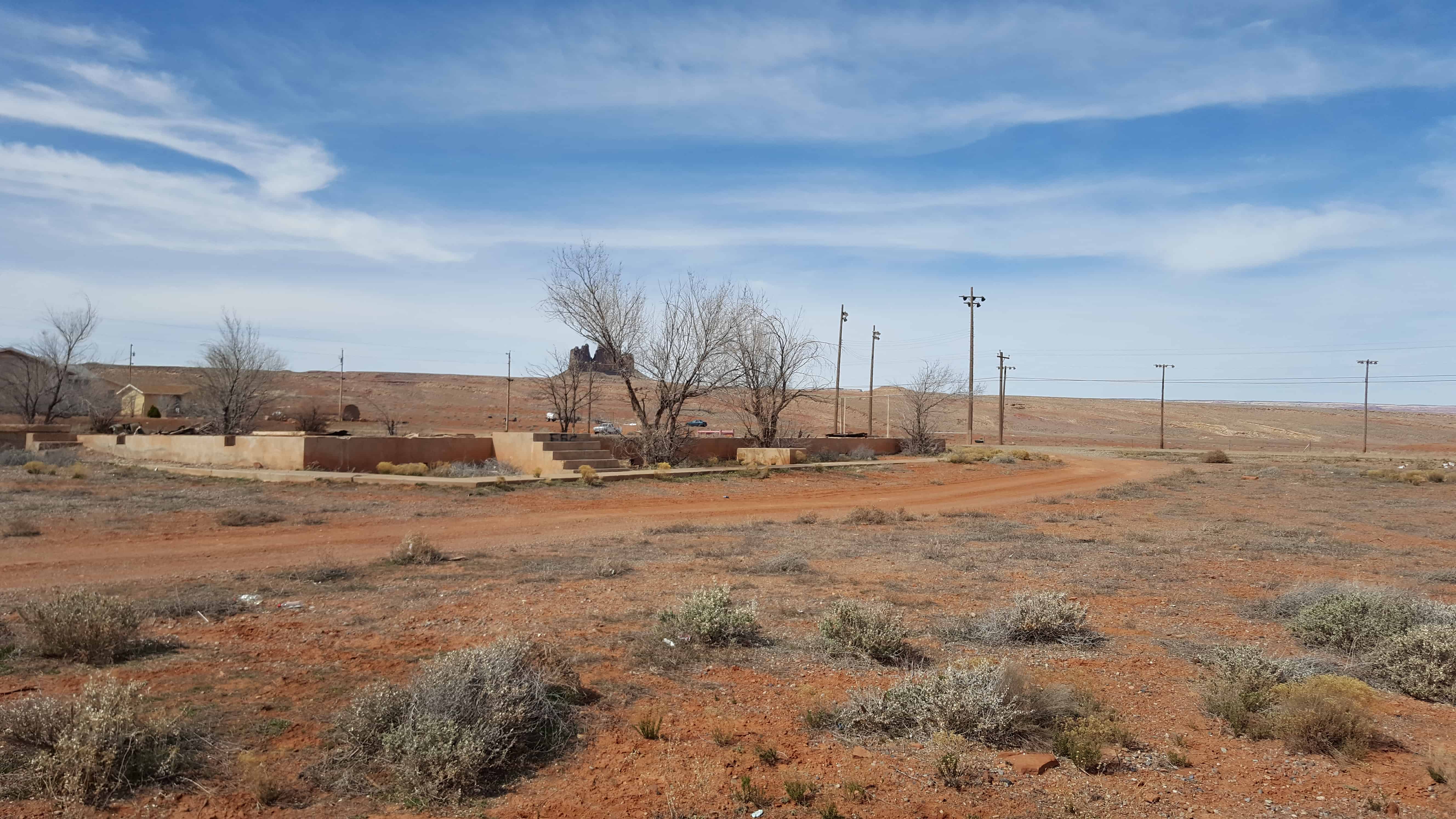
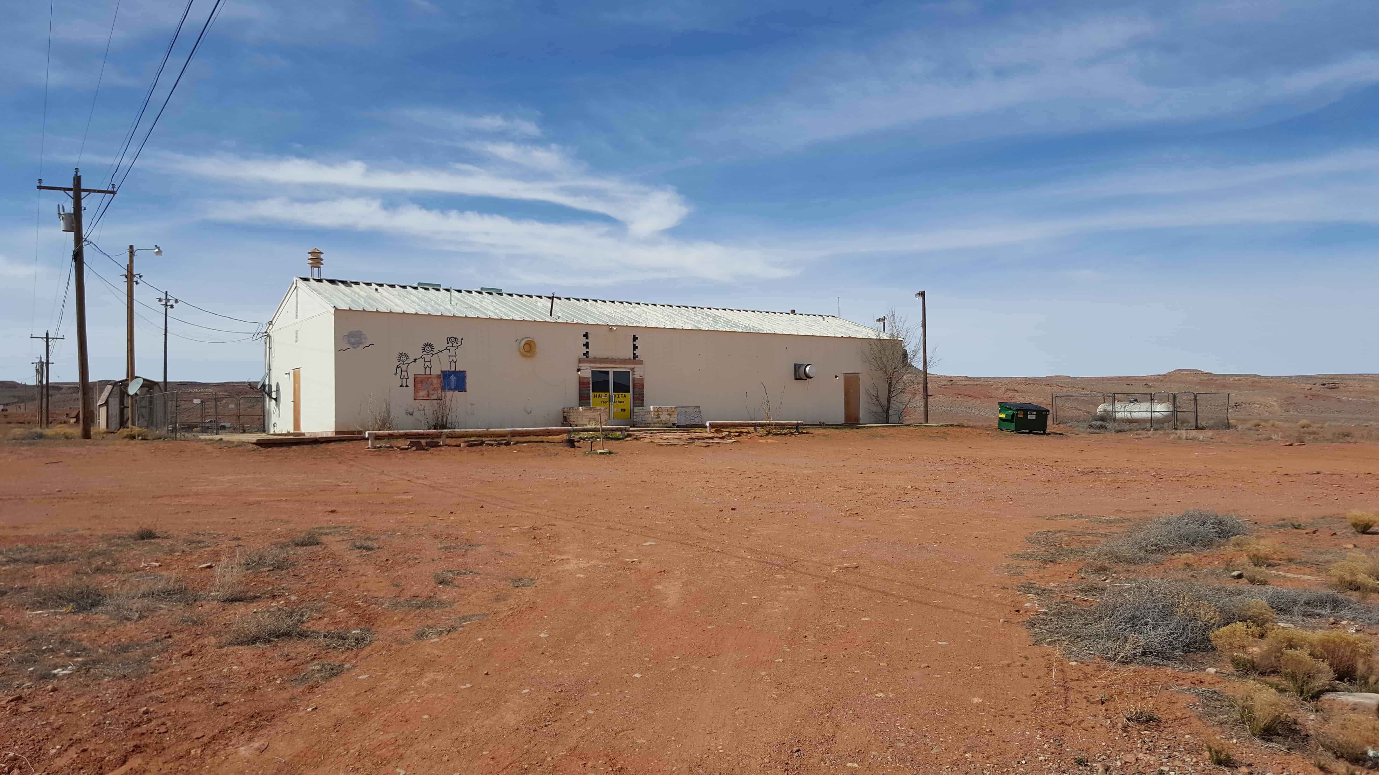
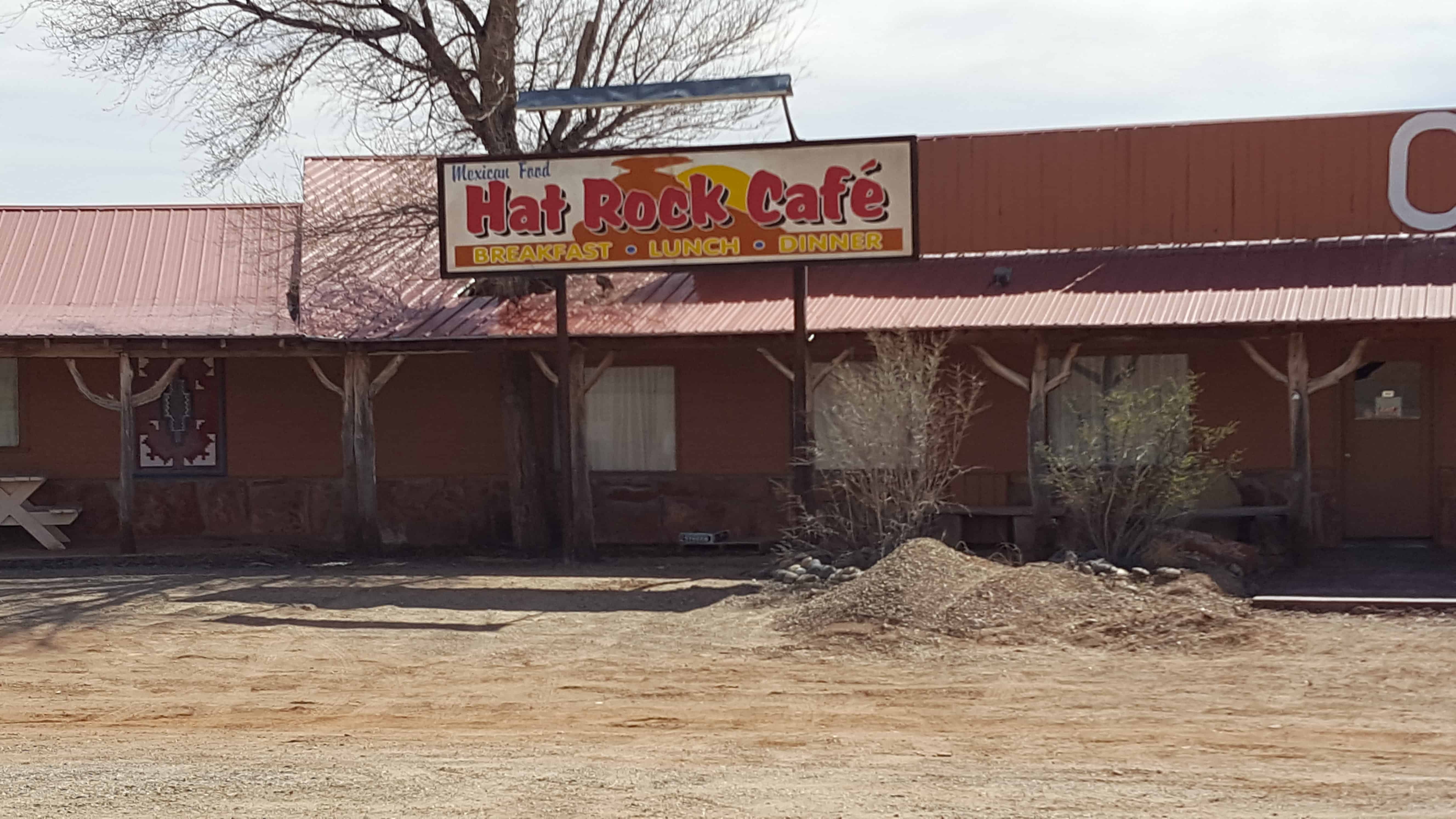
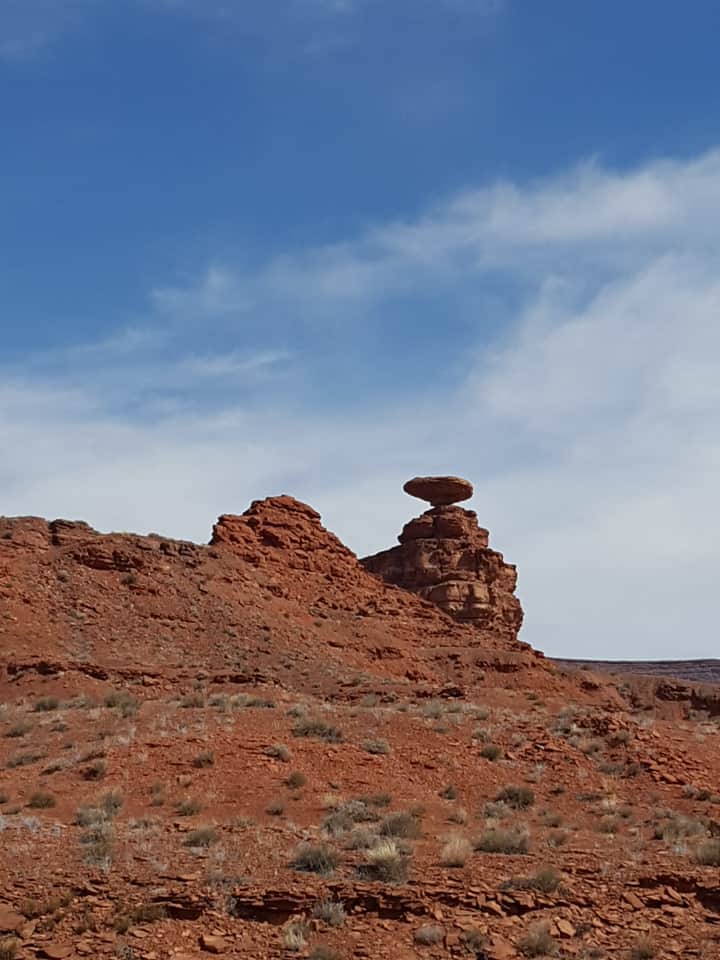
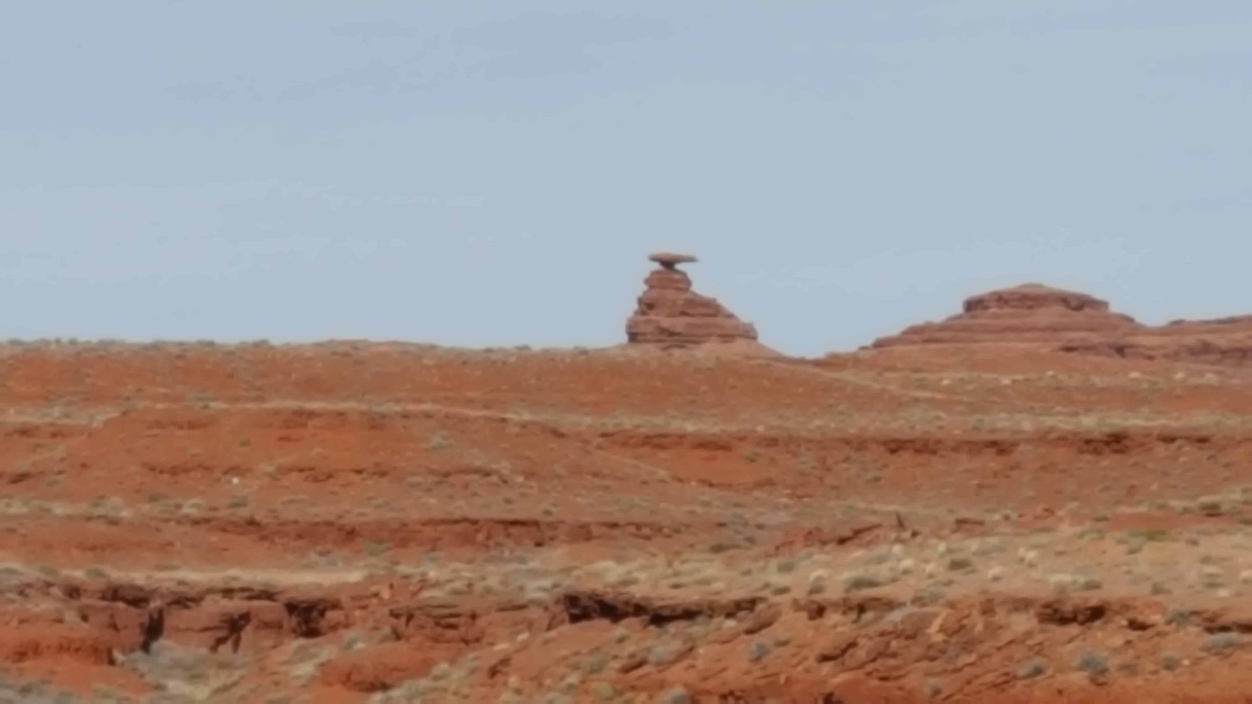
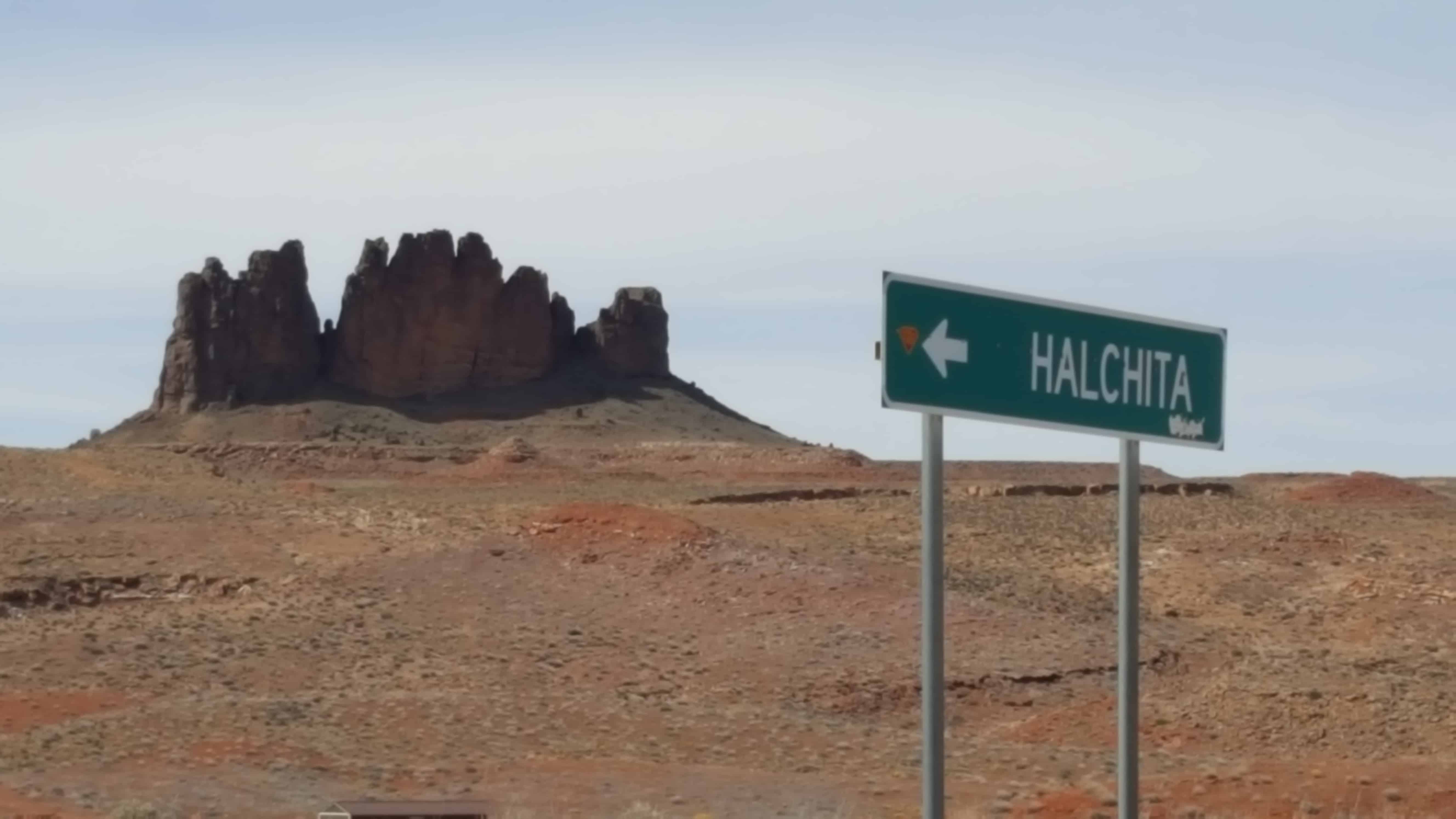
Halchita is a small CDP near Mexican Hat.

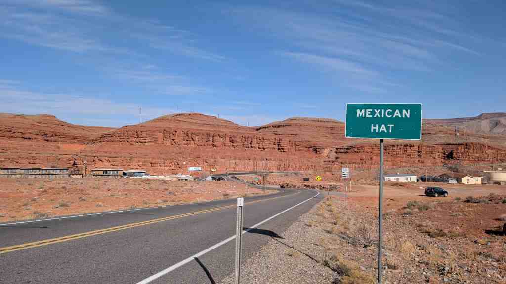
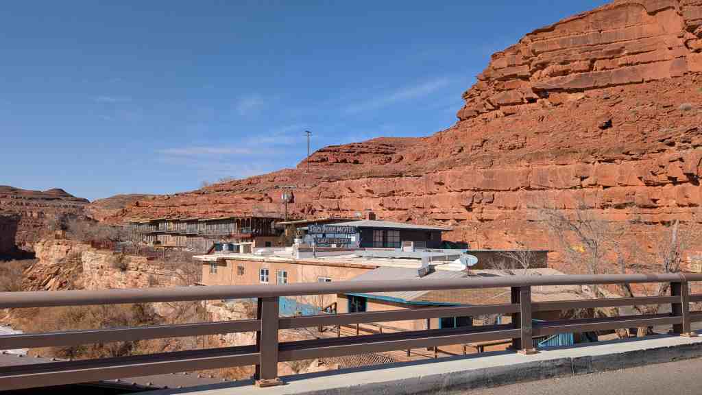
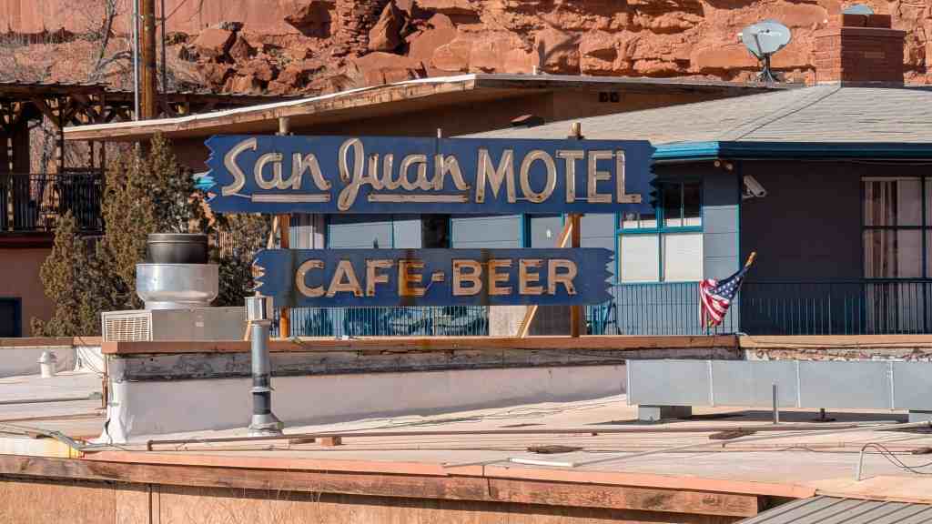
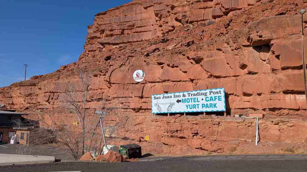
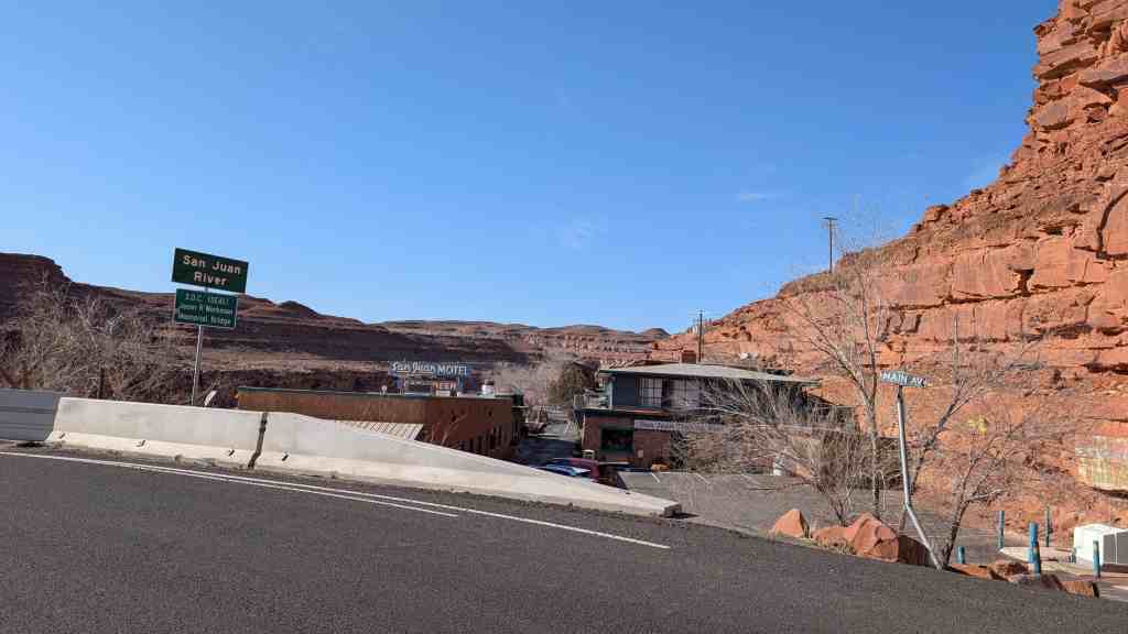
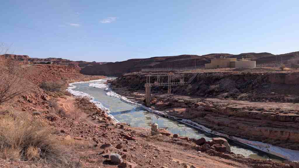
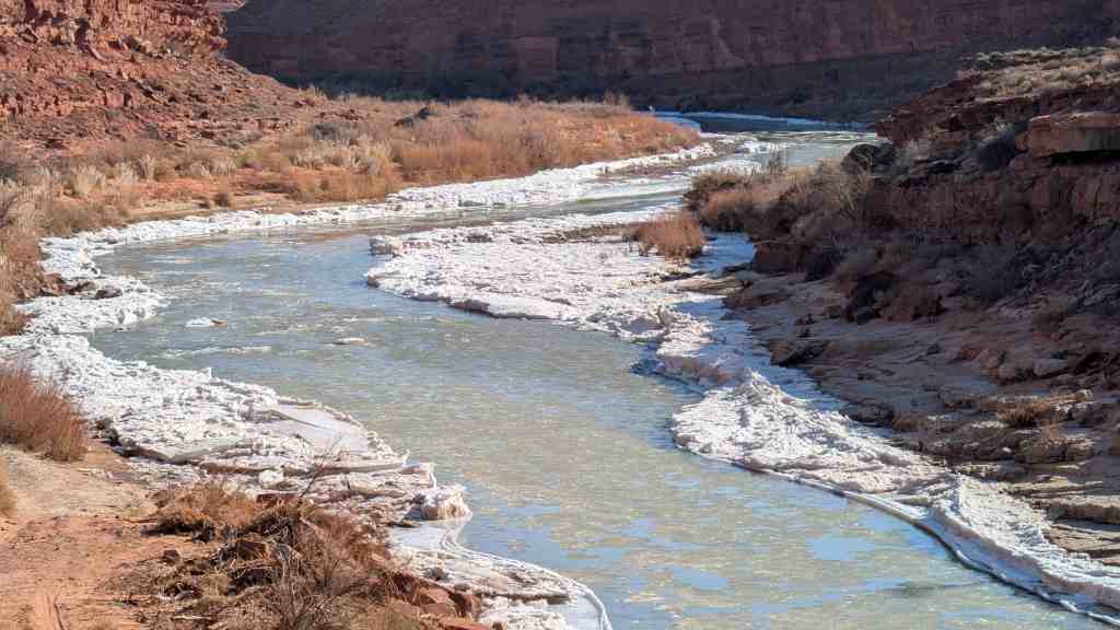
Halchita is a small community situated near the San Juan River at 4350 feet along US 163. Mexican Hat is located on the north bank of the San Juan River. Halchita, a Navajo word meaning ‘the red lands,’ is located on the south bank. These communities are approximately twenty miles south of Bluff on US 163. Halchita is the first community encountered on the Reservation when traveling southbound on US 163. It is the location of a government remediated uranium millsite. Combined estimated population of Halchita and Mexican Hat in 2000 was 110.(*)

2017-03-12 14.30.24

2017-03-12 14.31.00

2017-03-12 14.30.40

2017-03-12 14.33.55

Mexican Hat, Utah

19 Wednesday Apr 2017

Posted by Jacob Barlow in Uncategorized

≈ 2 Comments

Tags

Halchita, Mexican Hat, San Juan County, utah

IMG_20170312_144941_460

See also:

  • Comb Ridge
  • Halchita
  • Mexican Hat Rock
  • Monument Valley

Named for the inverted stone sombrero near the town, Mexican Hat boasts a colorful history. Early in the last century over one thousand people at a time descended on this curve of the San Juan River looking for gold, oil, or uranium.

Today, the town is a popular starting point for adventures on the San Juan River. The Navajo Tapestry–wavy geometric colors in the rock strata–makes a colorful backdrop to the desert landscape. Halchita, a Navajo word meaning ‘the red lands’ is across the river.

Popular day tours include Grand Gulch Primitive Area, John’s and Slickhorn Canyons, Goosenecks State Park, Valley of the Gods, Natural Bridges, Hovenweep, Navajo National Monuments, and Monument Valley Navajo Tribal Park. Full services available in Mexican Hat, none in Halchita.(*)

2017-03-12 14.42.07

2017-03-12 14.40.16

Mexican Hat Rock

19 Wednesday Apr 2017

Posted by Jacob Barlow in Uncategorized

≈ 1 Comment

Tags

Geologic, Geological, Geology, Halchita, Mexican Hat, Monument Valley, Rock Formations, San Juan County, utah

2017-03-12 14.46.59

The name “Mexican Hat” comes from a curiously sombrero-shaped, 60-foot  wide by 12-foot thick, rock outcropping on the northeast edge of town. The “Hat”‘ has two rock climbing routes ascending it. It has frequently been noted on lists of unusual place names.

2017-03-12 14.49.18

2017-03-12 14.48.58

2017-03-12 14.48.52

2017-03-12 14.46.45

2017-03-12 14.43.40

2017-03-12 14.43.35

Follow Jacob

Follow Jacob

Blog Stats

  • 2,036,192 hits

Social and Other Links

BarlowLinks.com

Recent Posts

  • Pioneer Hay Barn, Manger, and Corral
  • Grain Reaper
  • Early Pioneer Granary and Home
  • Dixie Sorghum (Molasses) Mill
  • This is the Place State Park

Archives


Loading Comments...