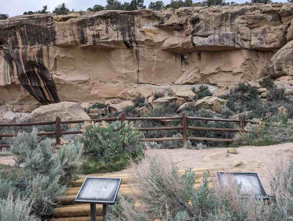
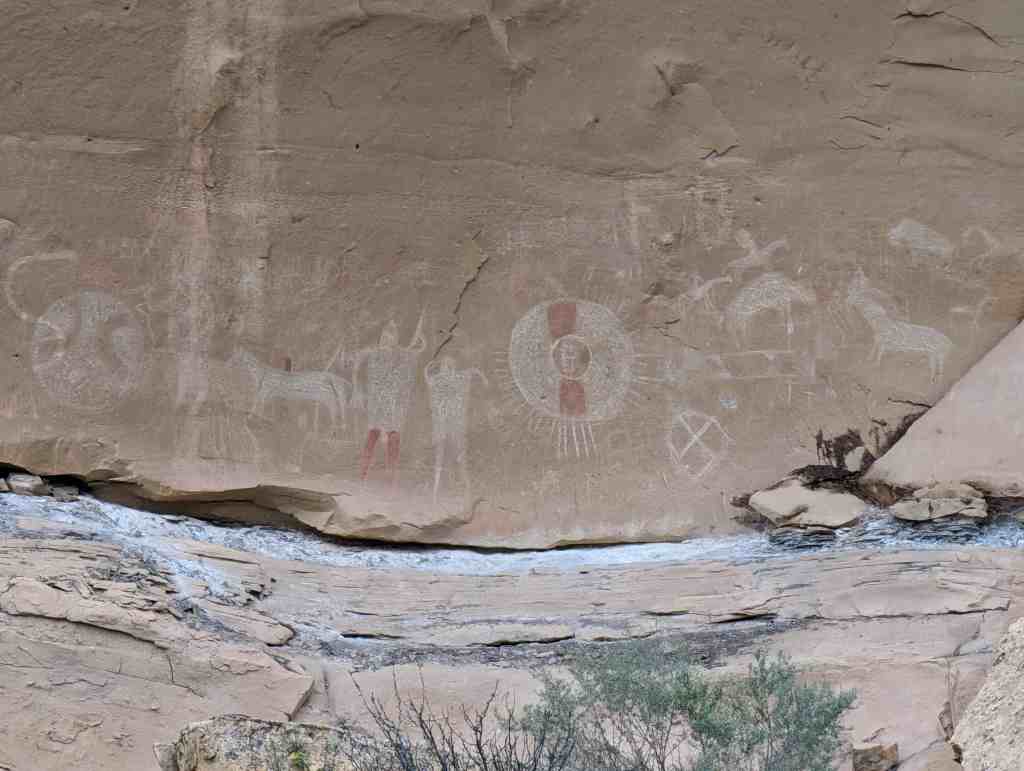
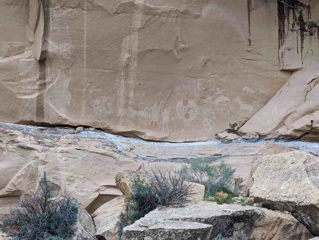
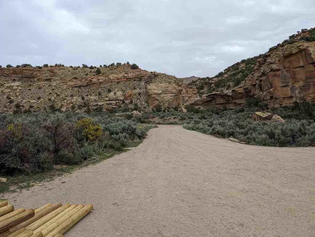
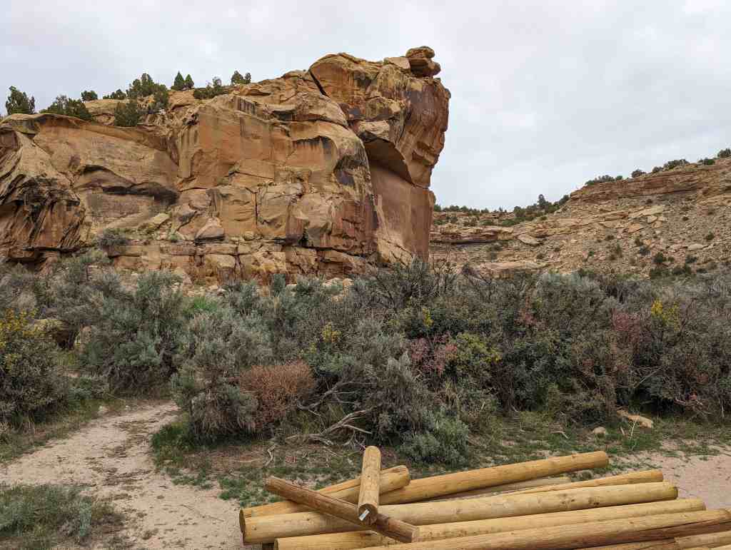
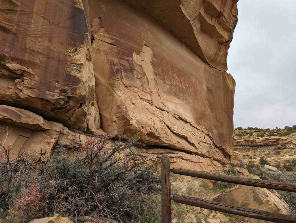
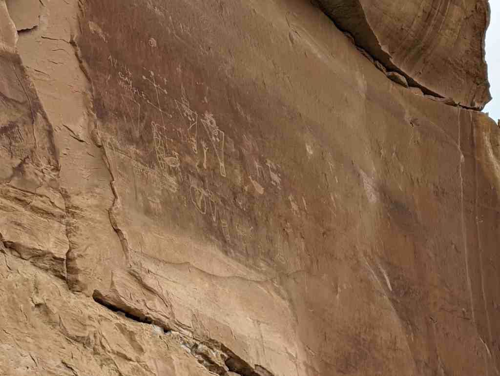
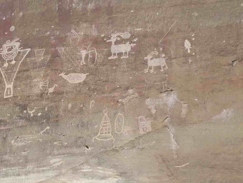
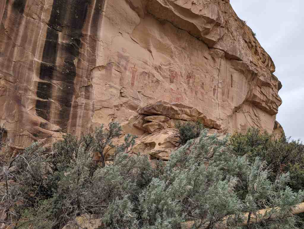
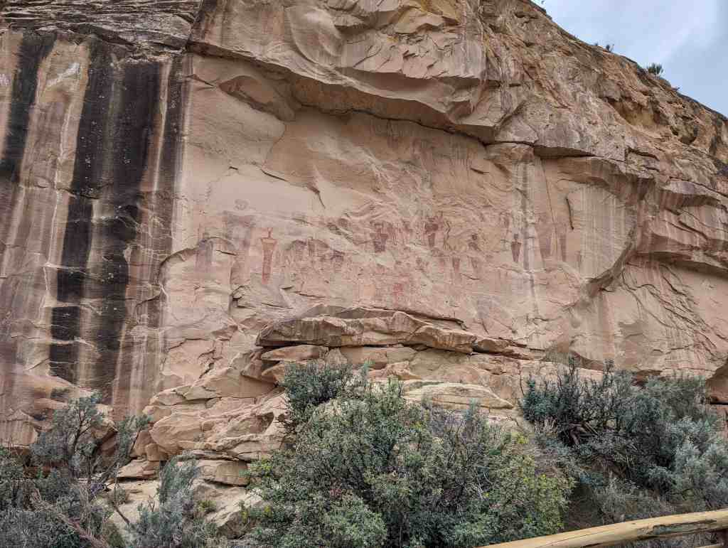
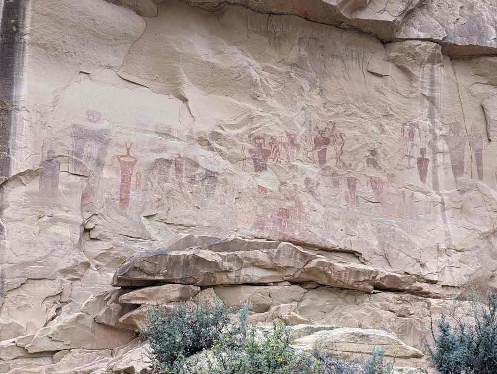
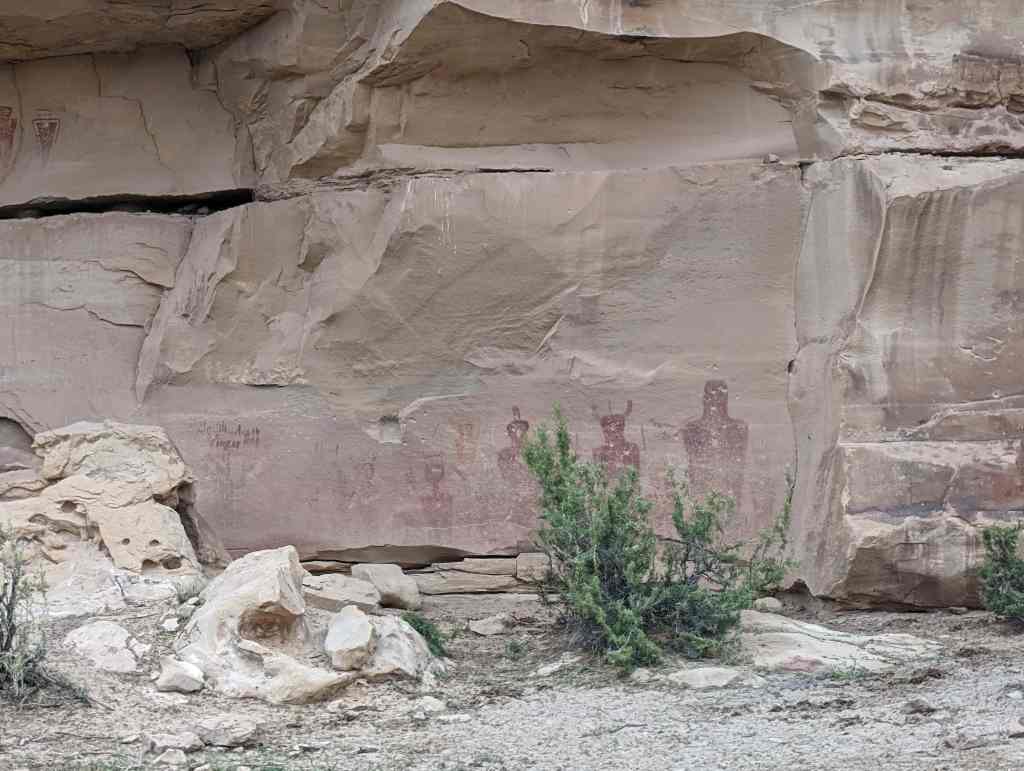
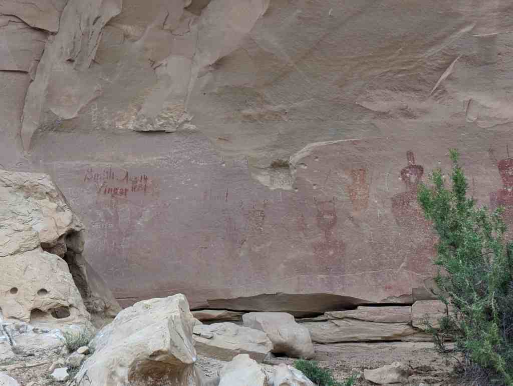
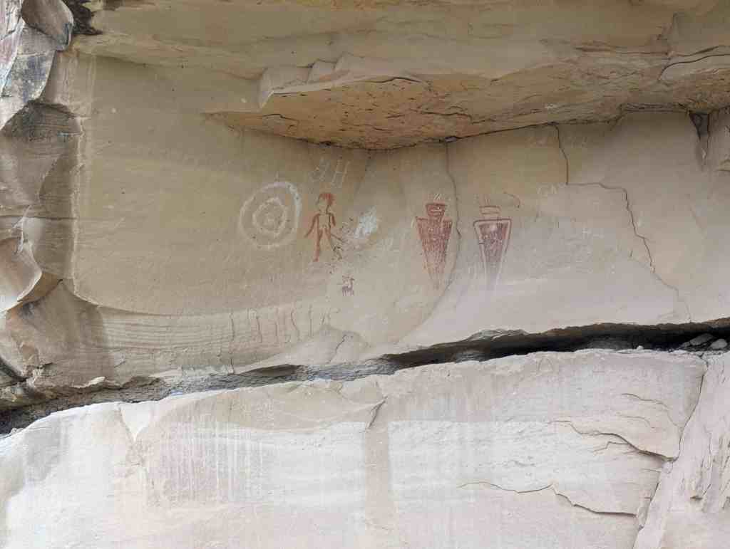
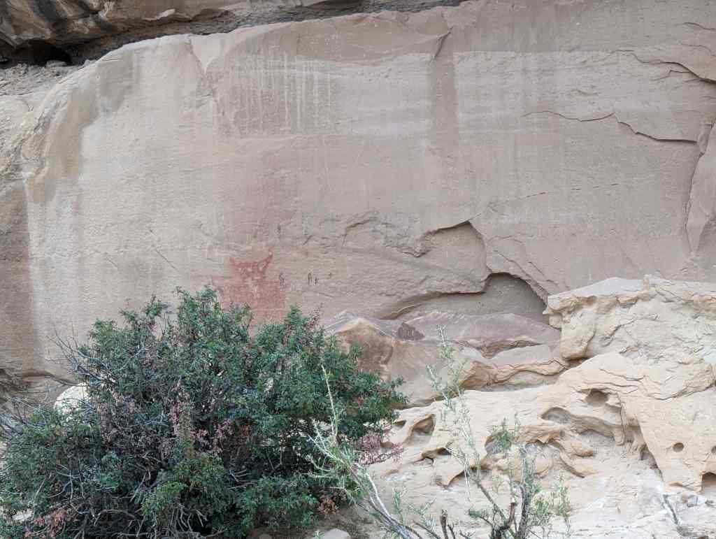
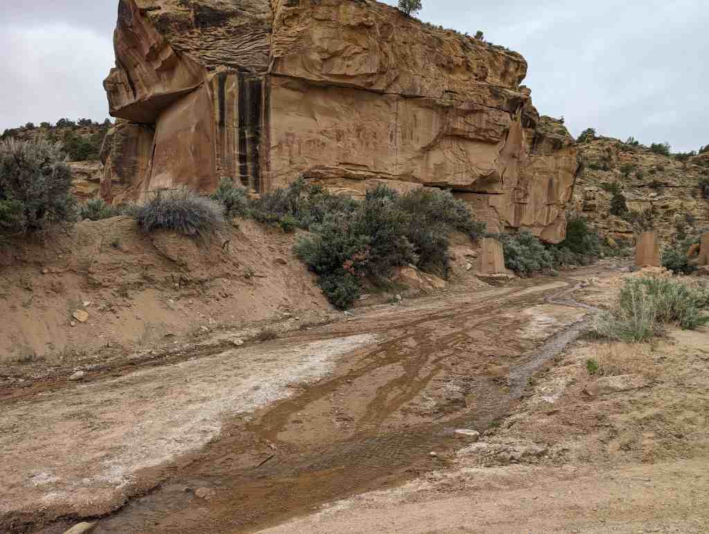
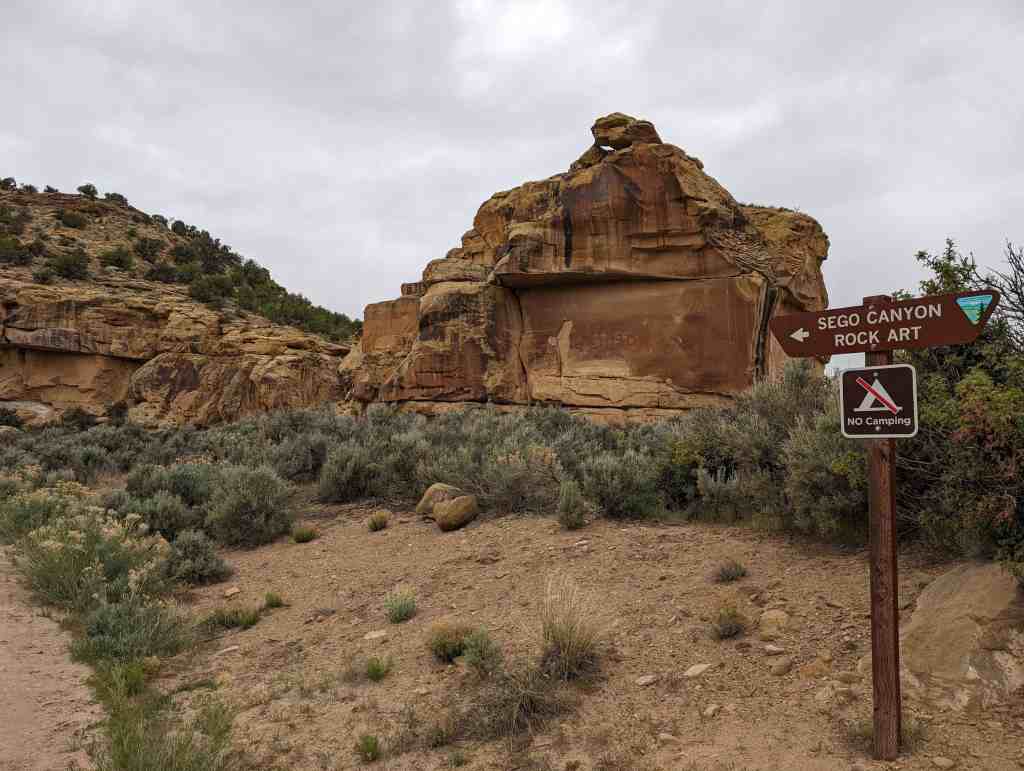
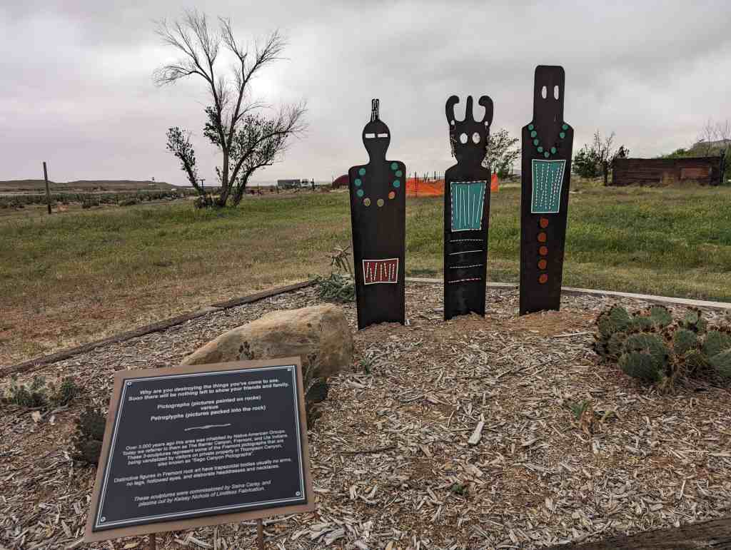
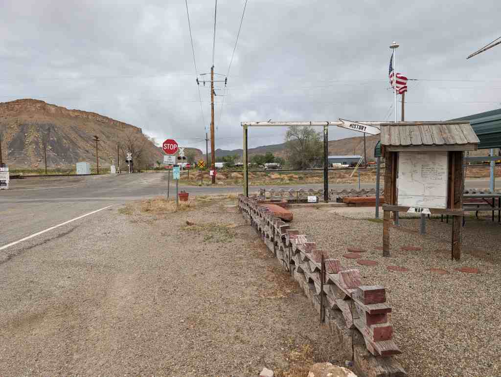
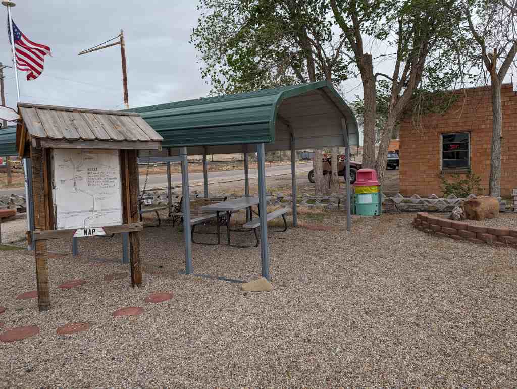
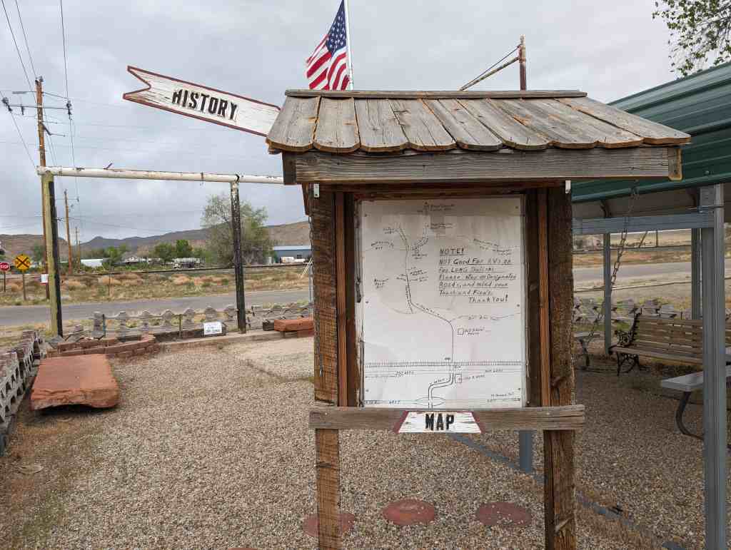
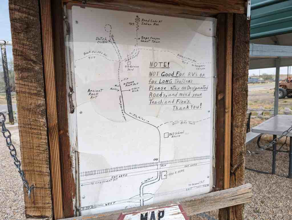
Thompson Wash Rock Art District / Sego Canyon Rock Art Interpretive Site
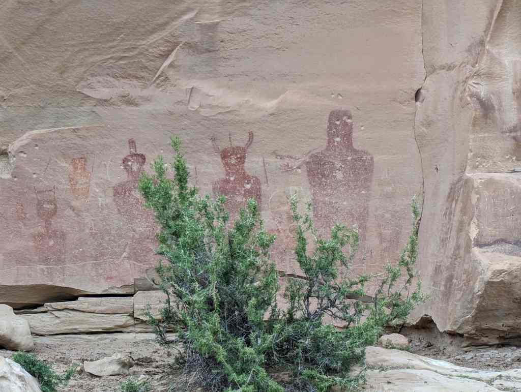
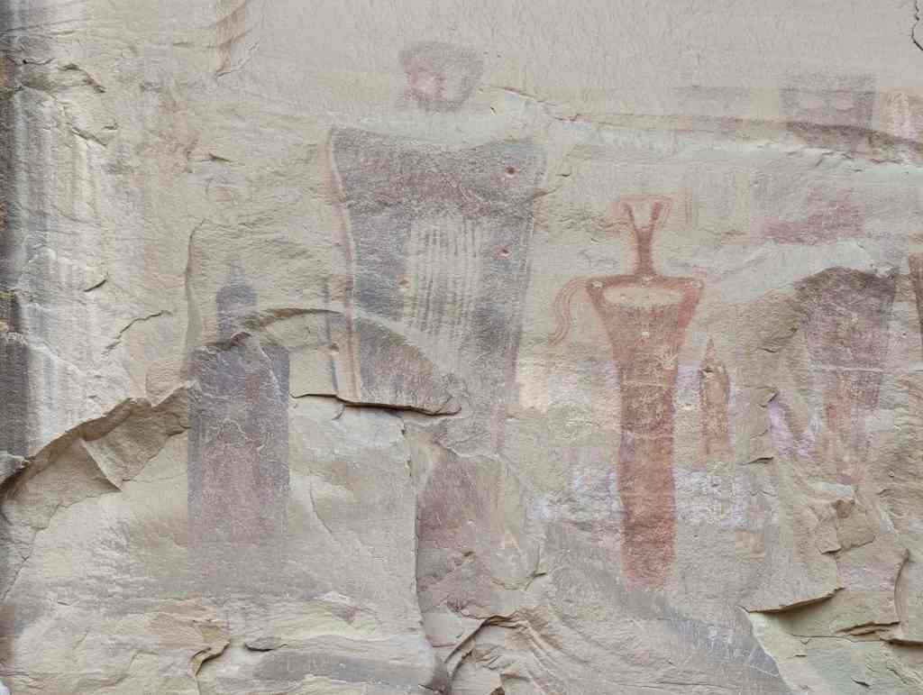
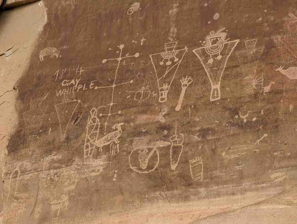
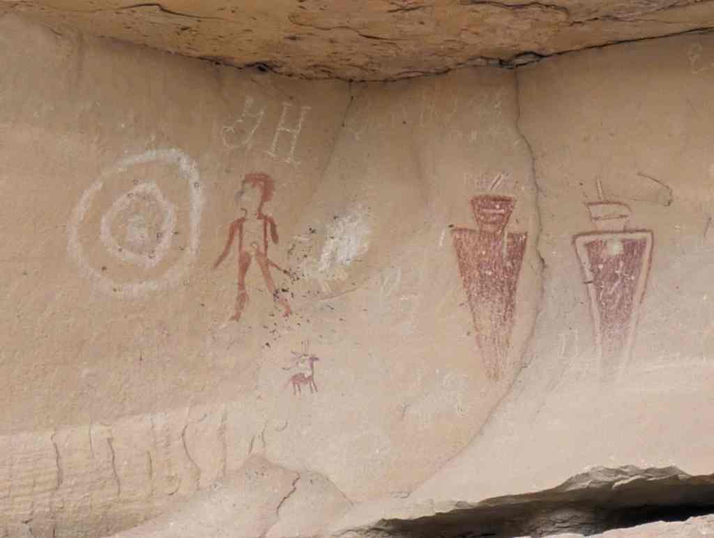
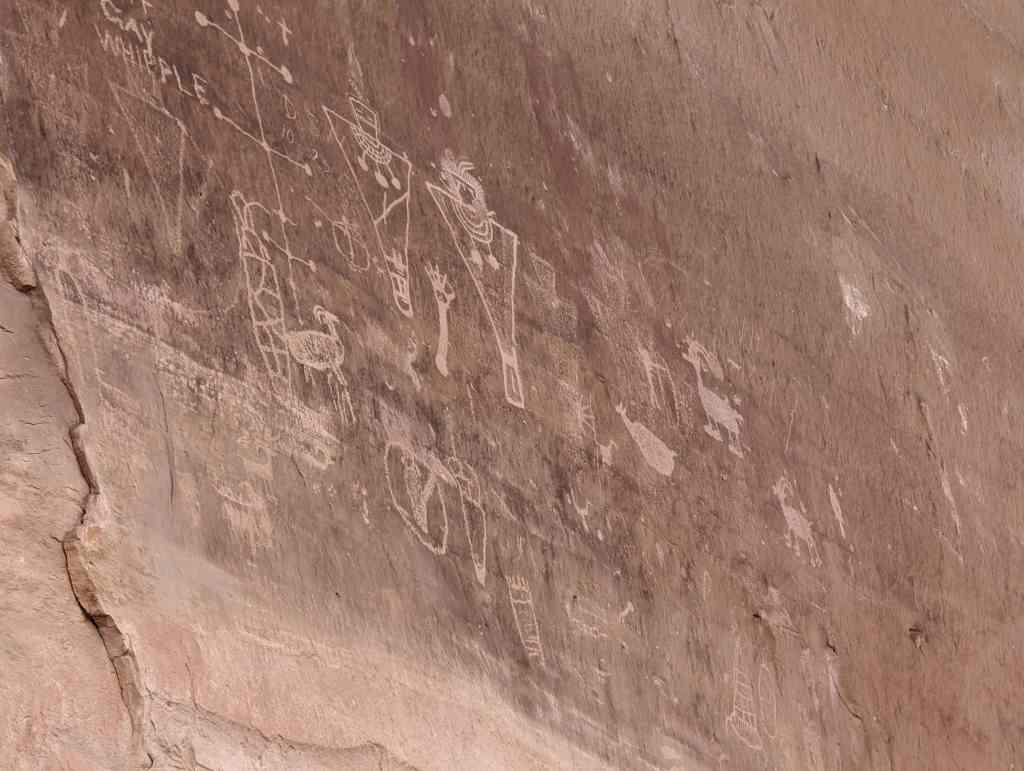
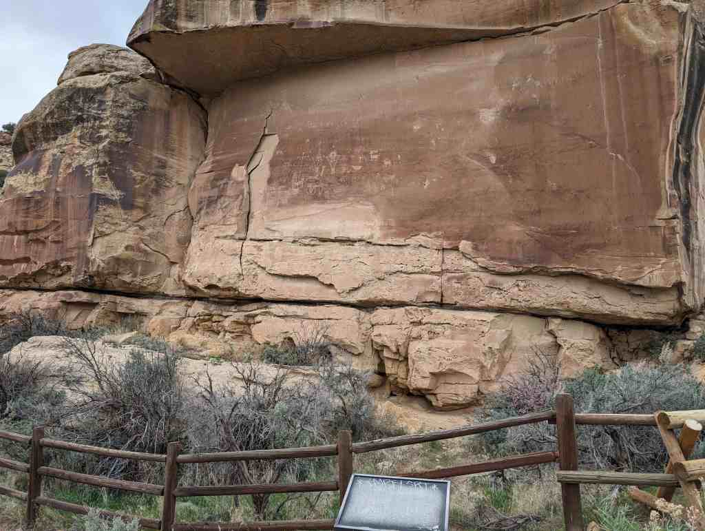
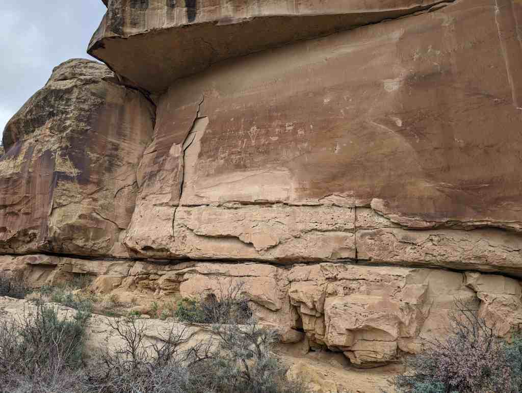
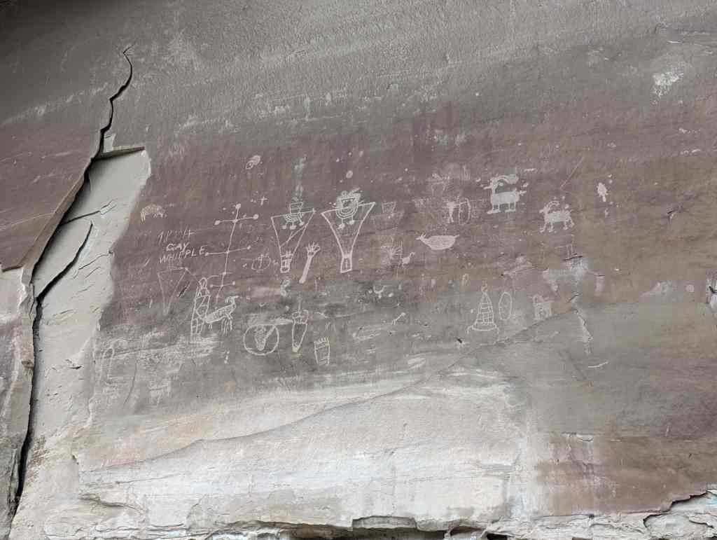
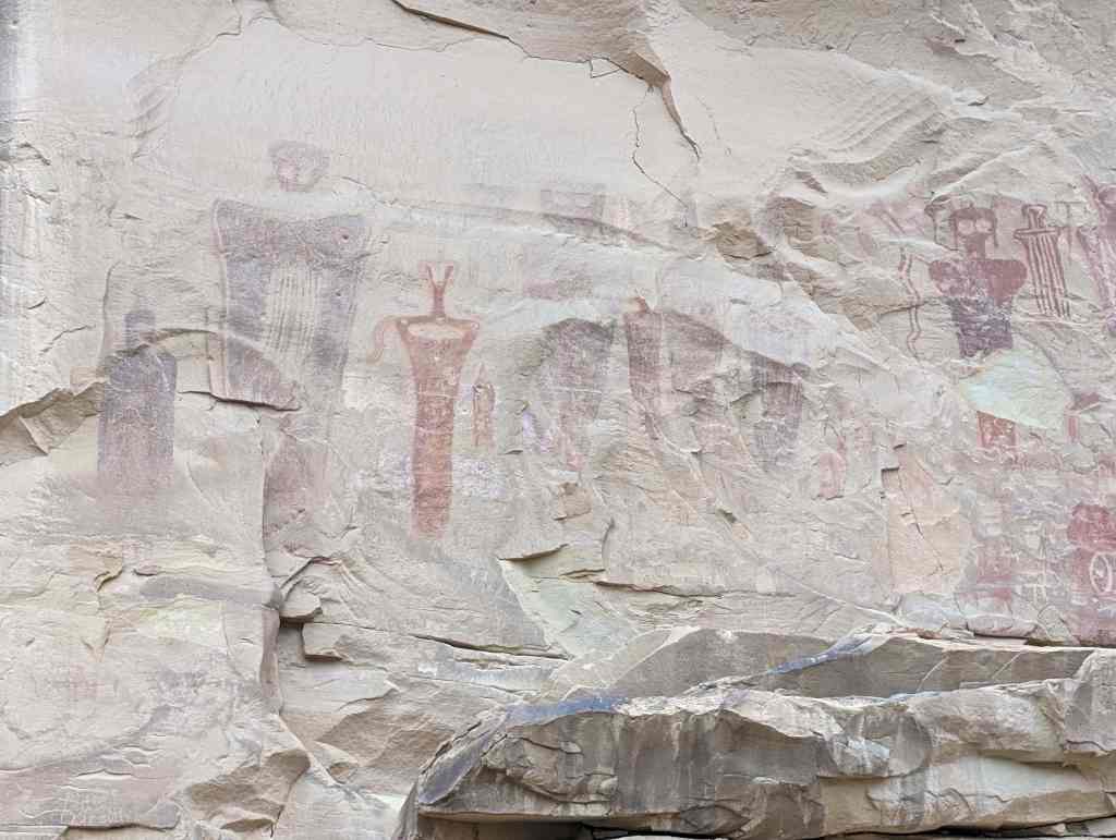
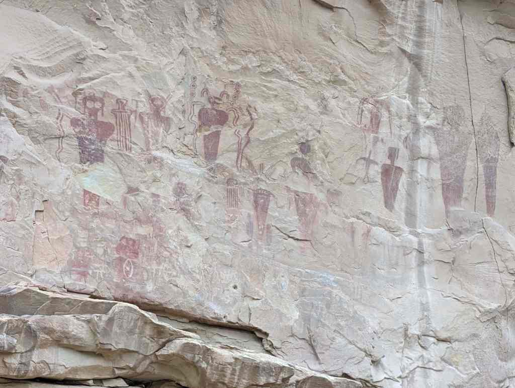
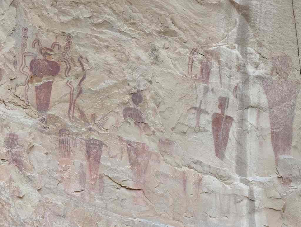
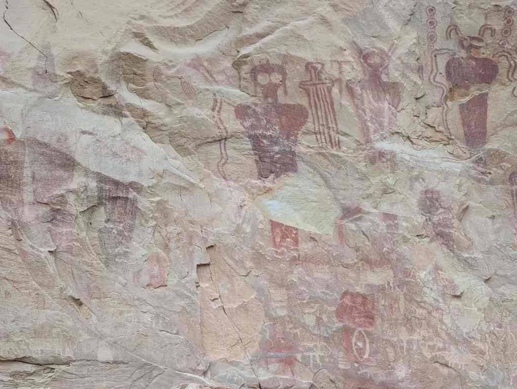
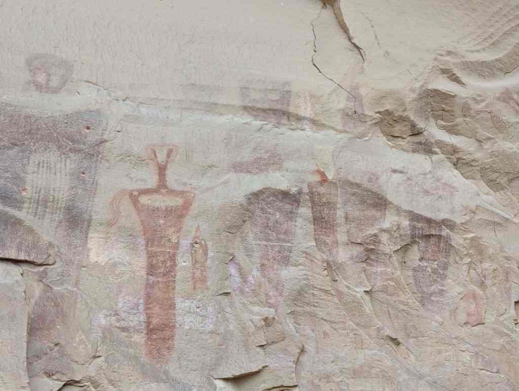
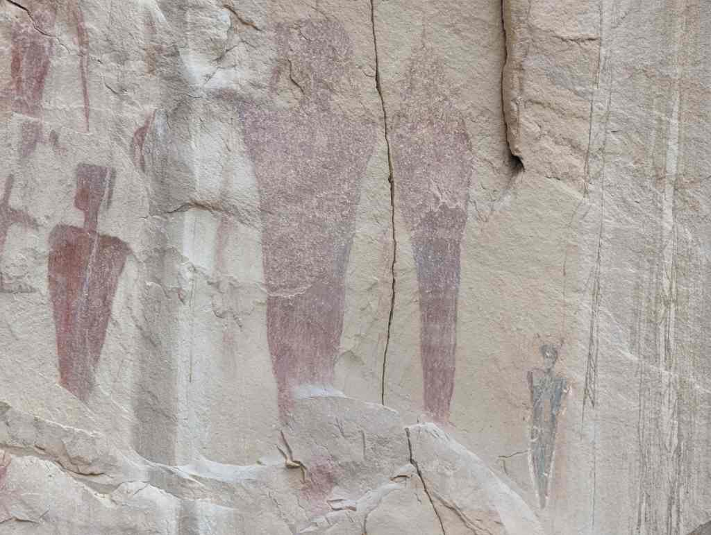
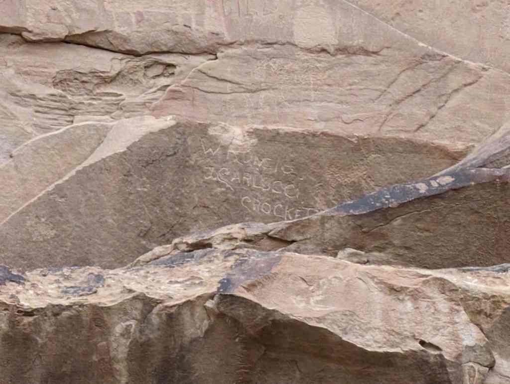
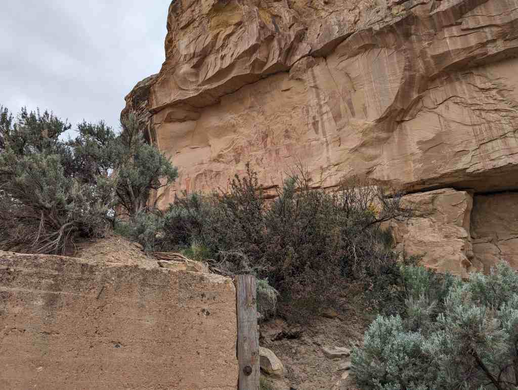
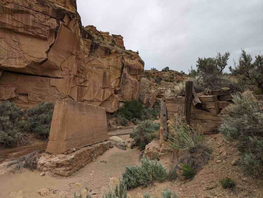
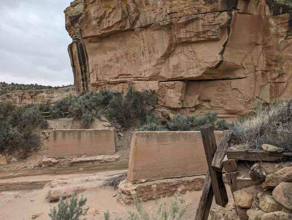
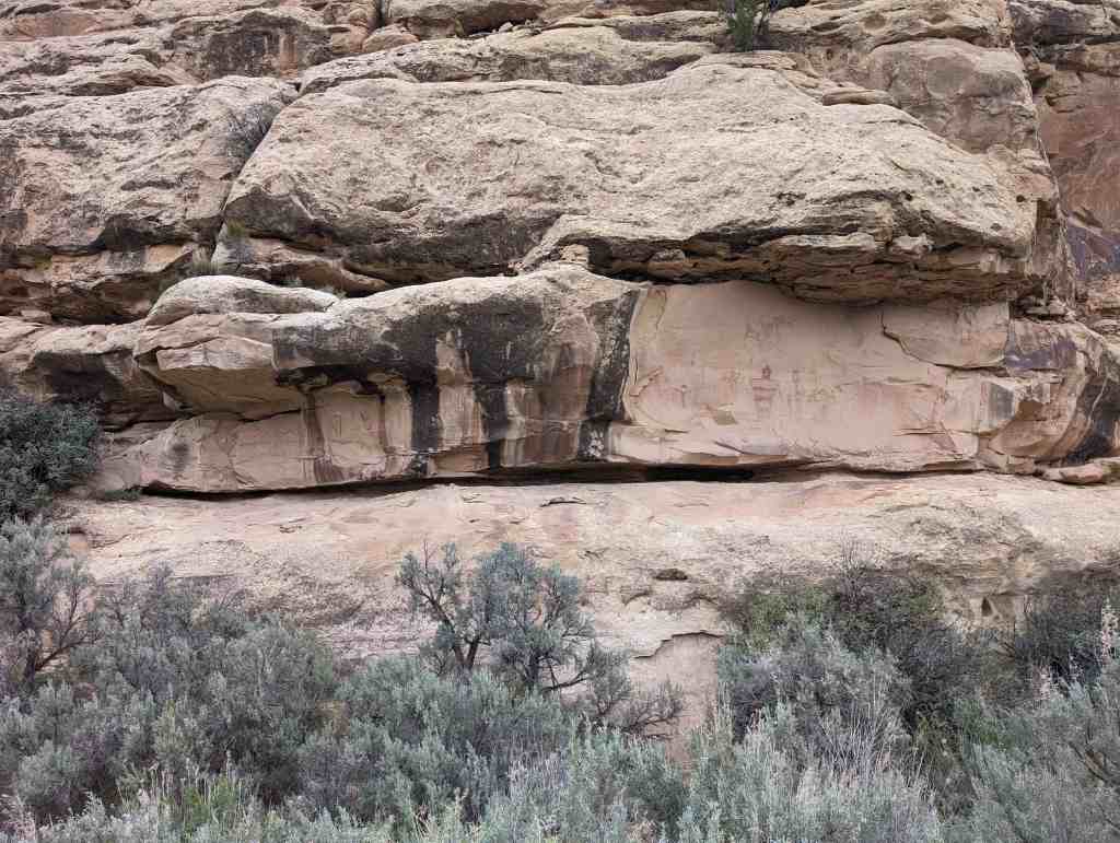
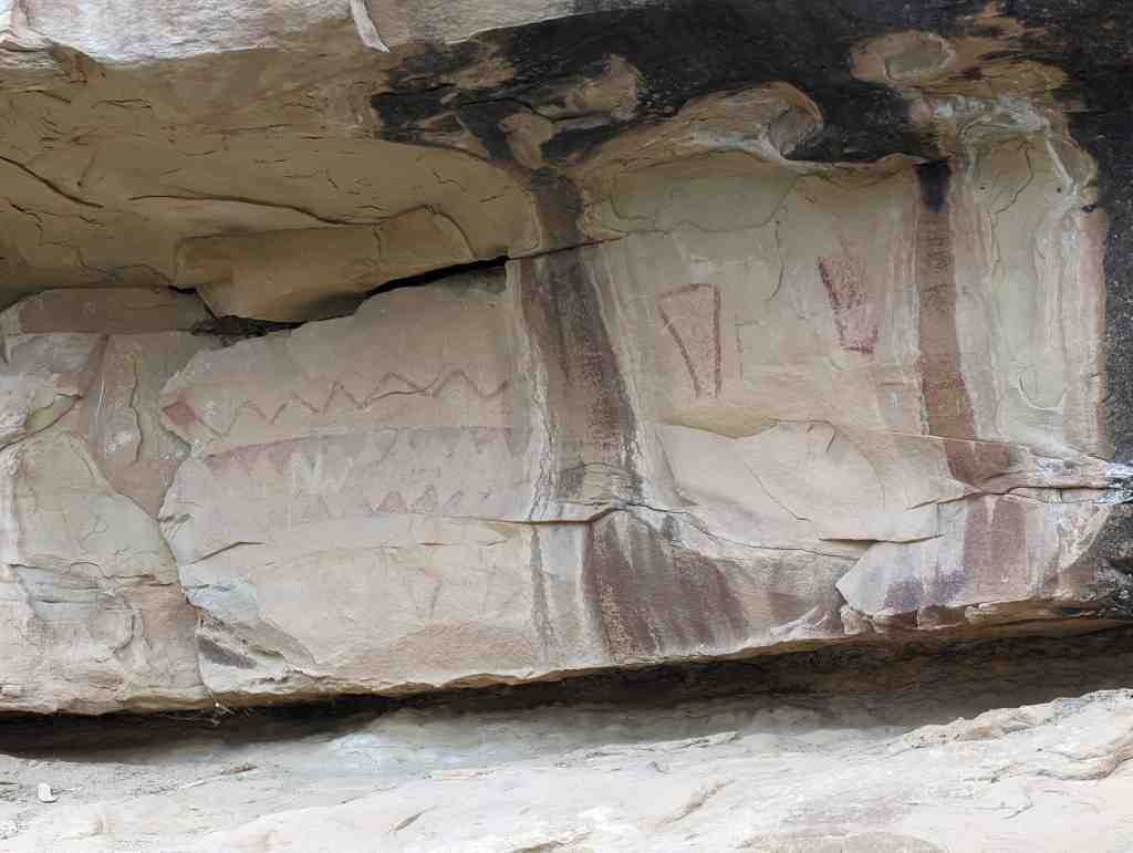
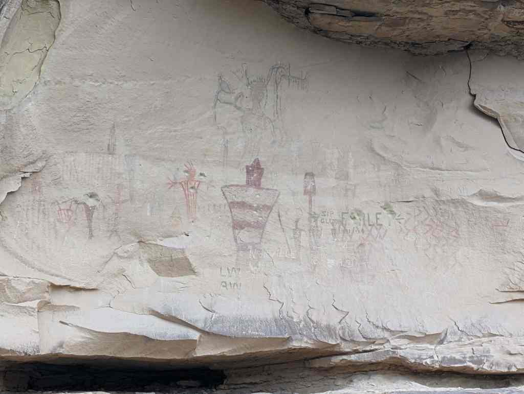
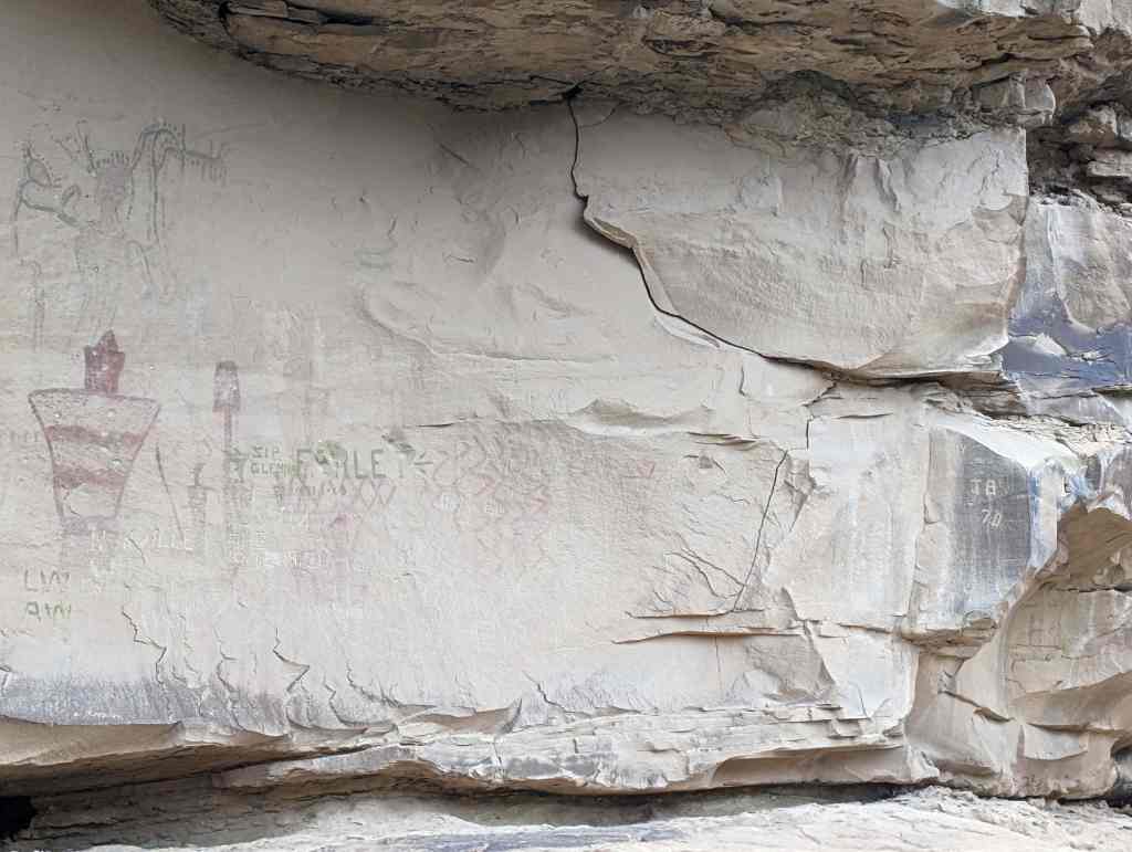
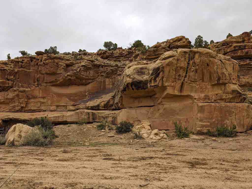
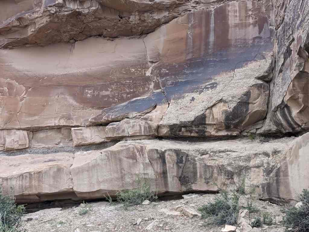
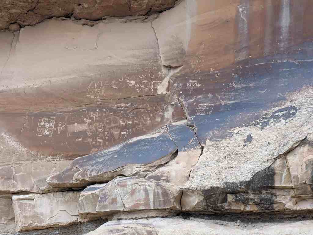
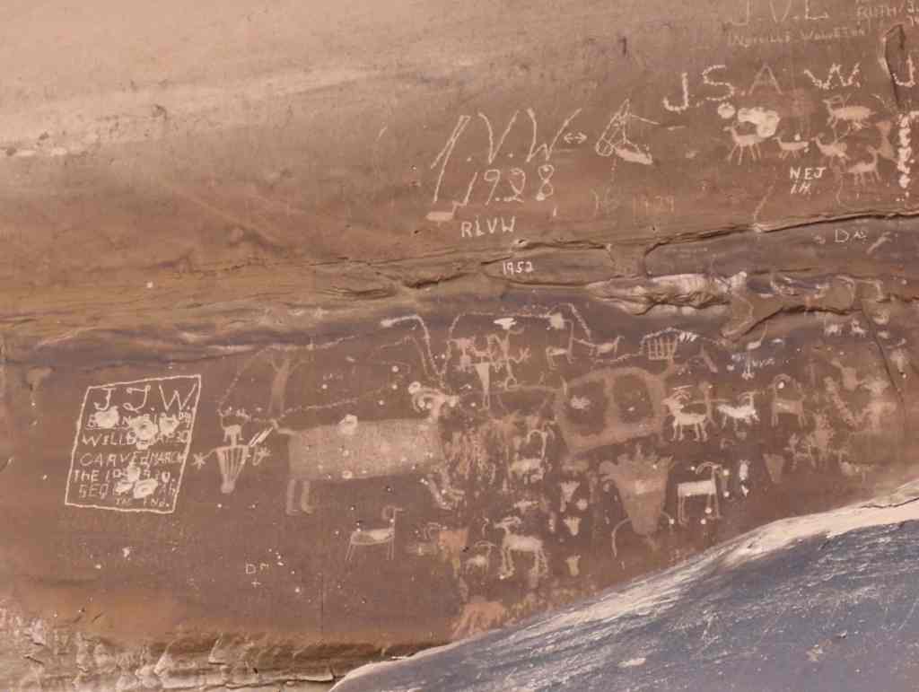
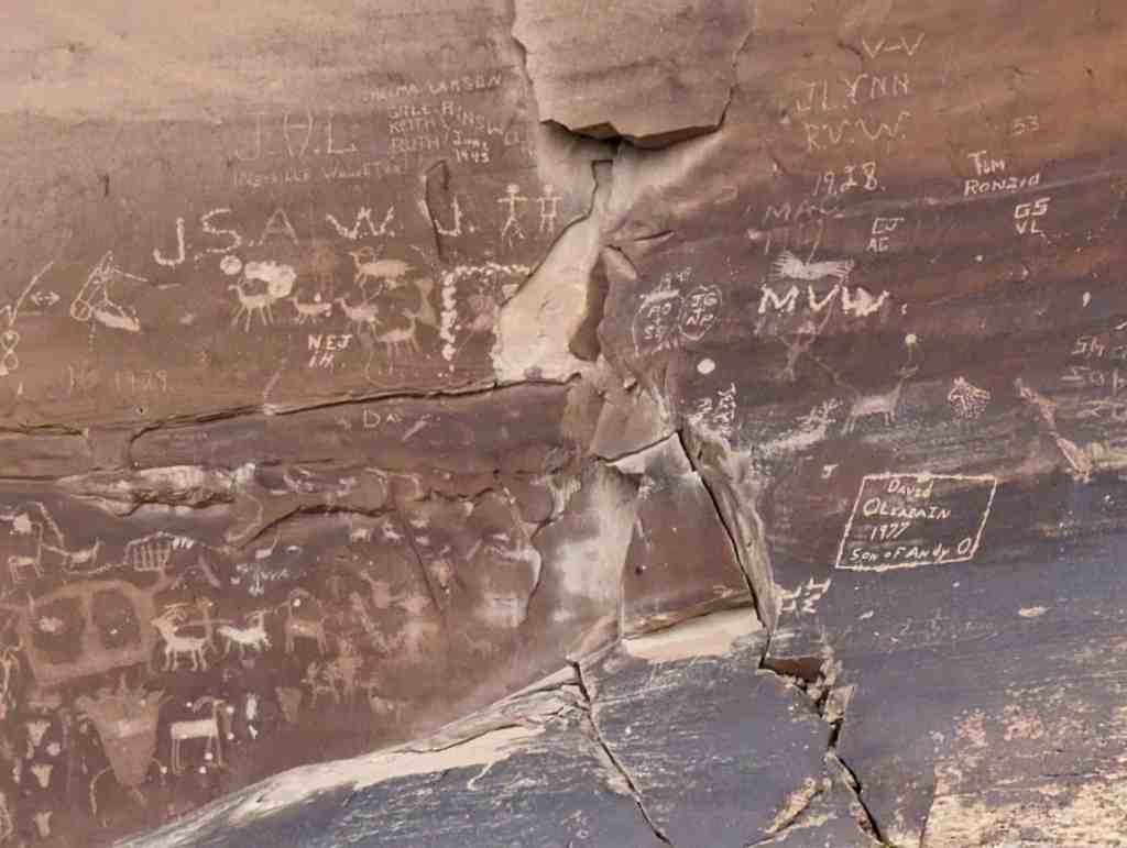
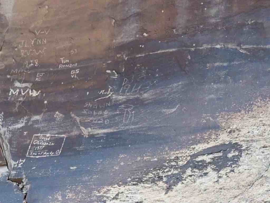
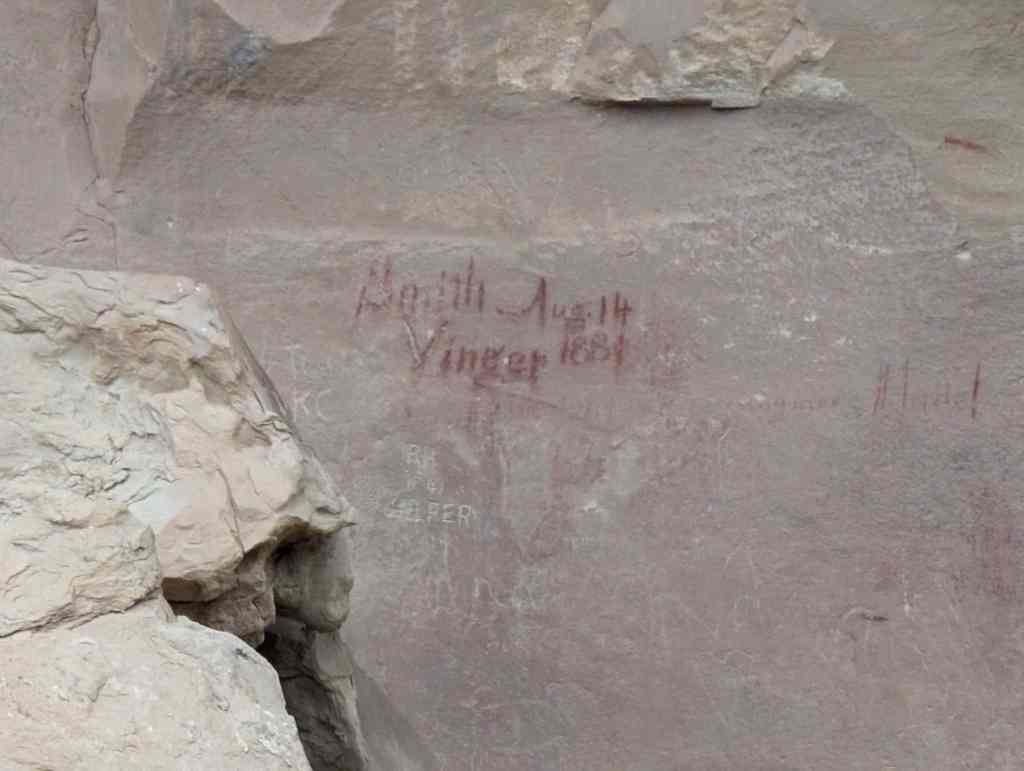
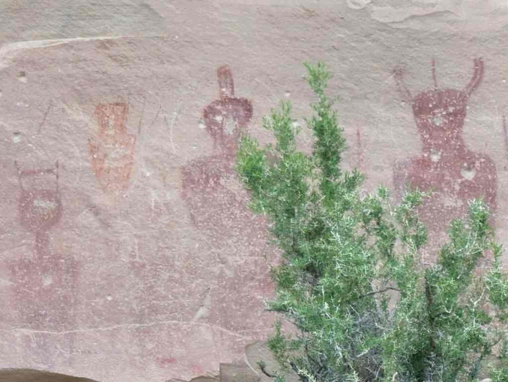
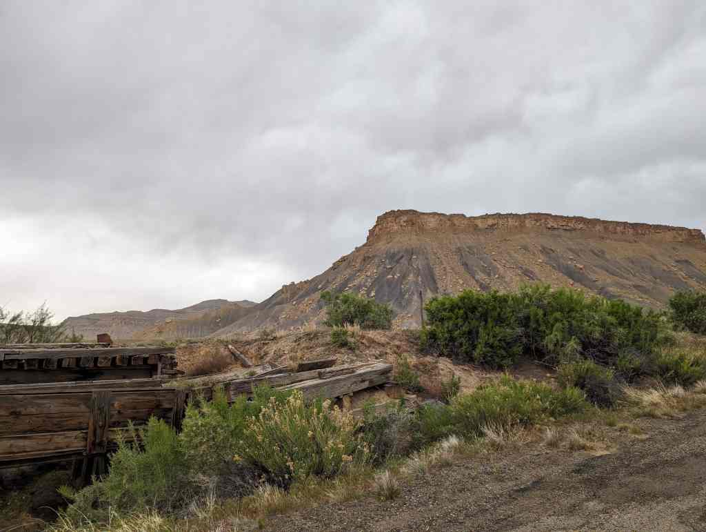
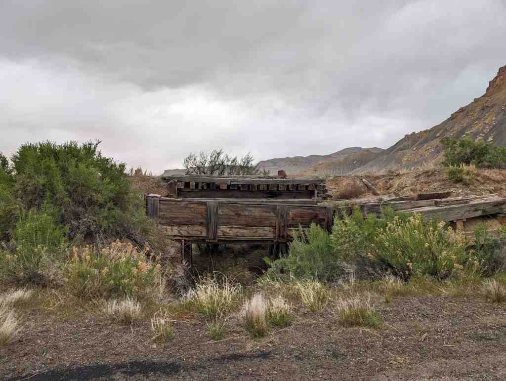
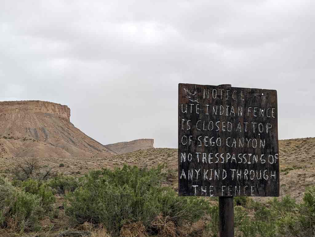
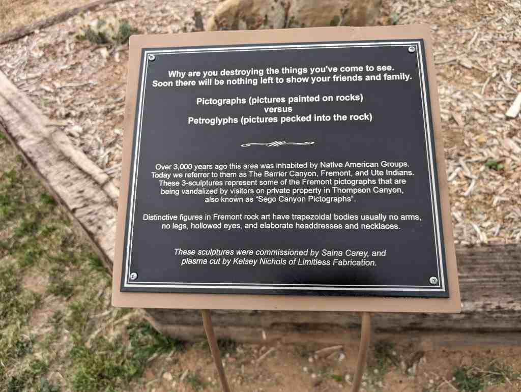
Sego Canyon contains three culturally distinct styles of rock art: Fremont, Ute and Barrier-style. A well preserved ghost town and ruins of a coal mine are located nearby. Visitors are advised to plan for at least a half day to explore this exciting area.*
Located in Sego Canyon near Thompson Springs, Utah. This site was added to the National Register of Historic Places (#80003909) on August 1, 1980.
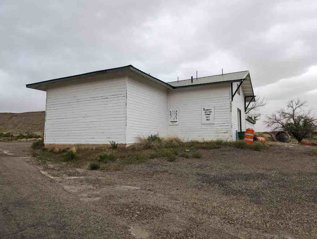
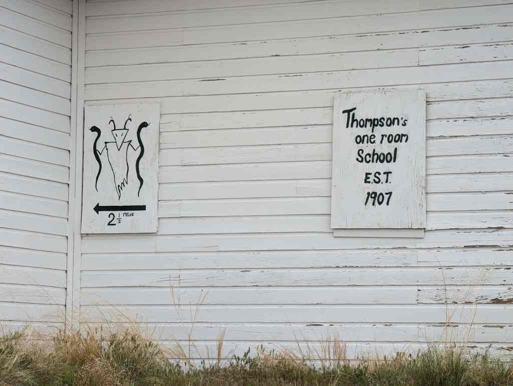
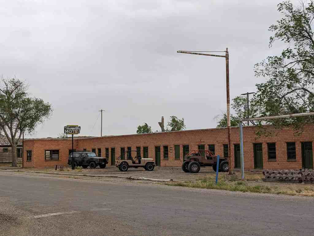
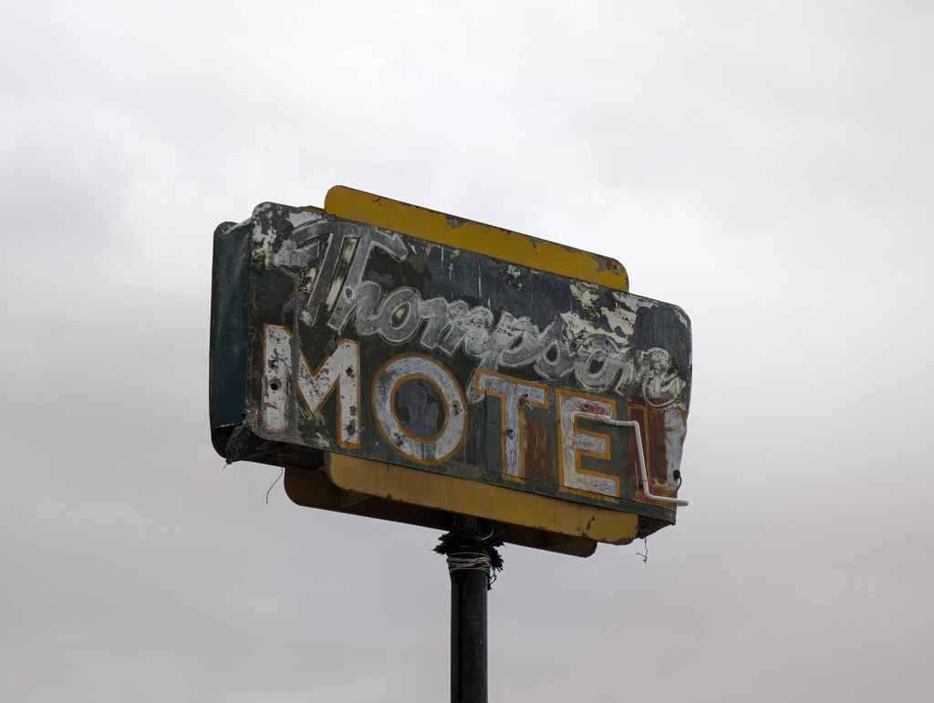
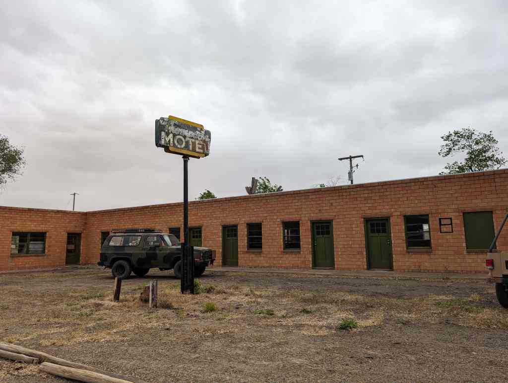
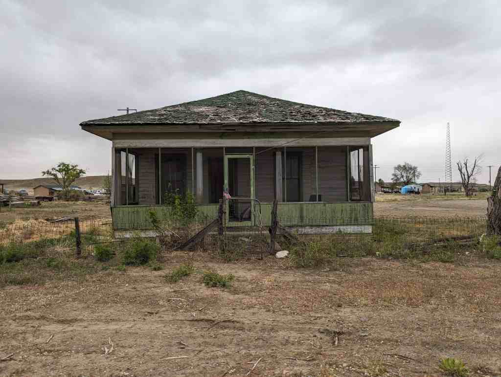
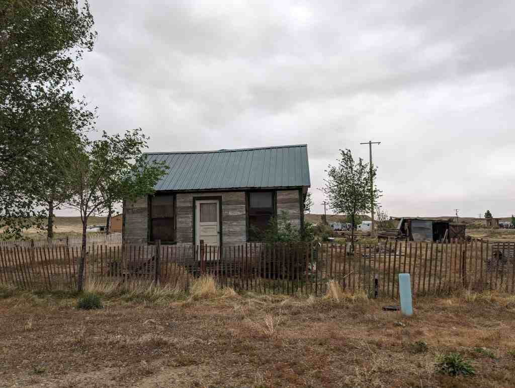
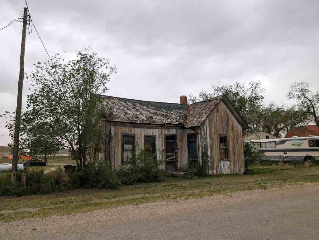
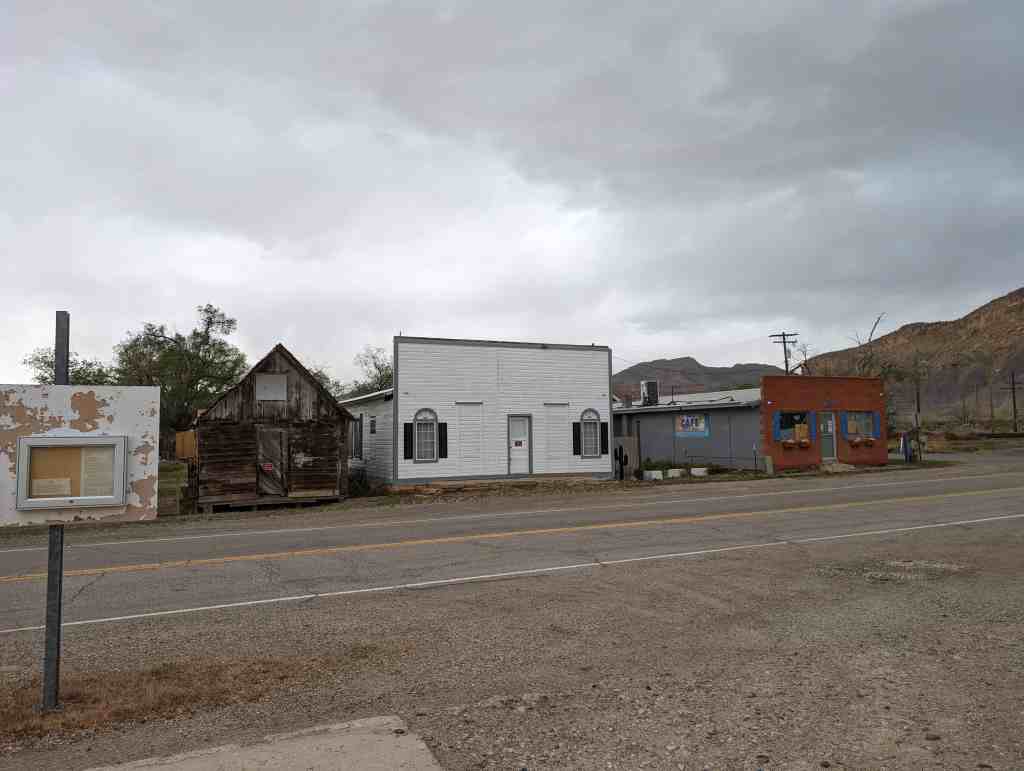
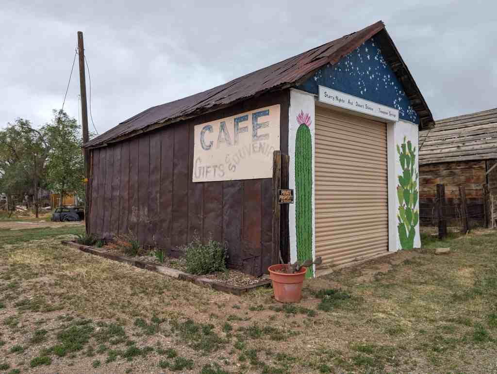
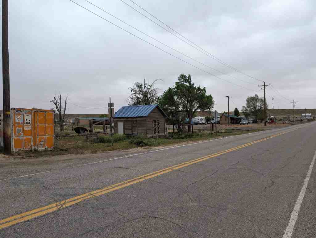
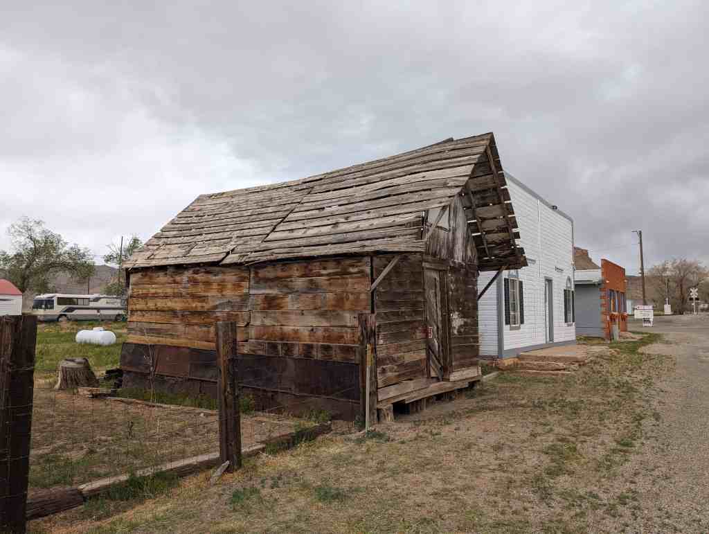
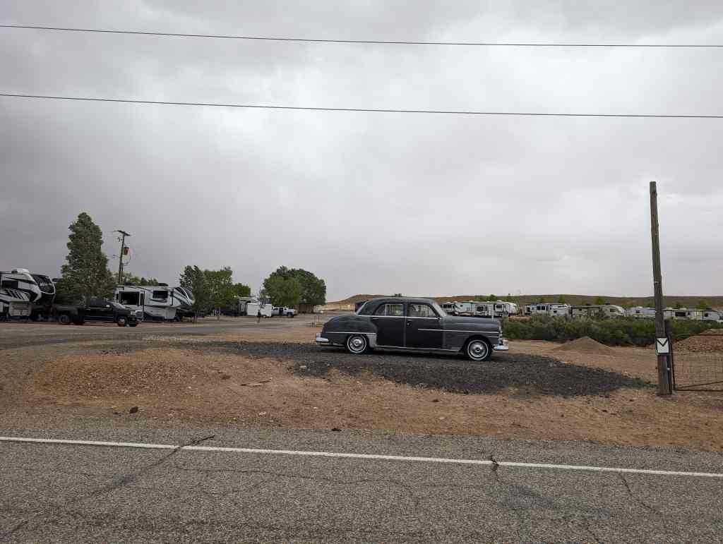
Sego boasted a population of nearly 500 people more than 80 years ago. Located in Sego Canyon five miles north of Thompson Springs, Sego began its existence as a coal mining camp for American Fuel Company workers who had begun working Henry Ballard’s coal mine in the Book Cliffs area around 1912. The coal from the mine was loaded onto railroad cars and transported down a five-and-a-half mile railroad spur to Thompson. The town was originally known as Neslen at first, and was notable for its racially segregated housing. In 1918, the town’s name was changed to Sego (in honor of Utah’s state flower) when Chesterfield Coal Company bought out AFC. The mine, which struggled financially throughout much of its existence, closed for good in 1947. Today, a few ramshackle buildings remain, including the old store, a two-story wooden boarding house, along with a few dugout cabins, an explosives bunker, and several old foundations.(*)
Crescent Junction (or Brendel) is a small unincorporated community within Grand County. Most highway maps use the name Crescent Junction, as the name given to the junction of Interstate 70 and U.S. Route 191. Most railroad maps use the name Brendel, the name of the rail siding and junction at the same location.
Crescent Homesteaded 1/2 section 1915 by Laura and Marg daughters of Thomas G. Wimmer, Jr. and Sarah E. Patten Wimmer.
Brendel, Utah
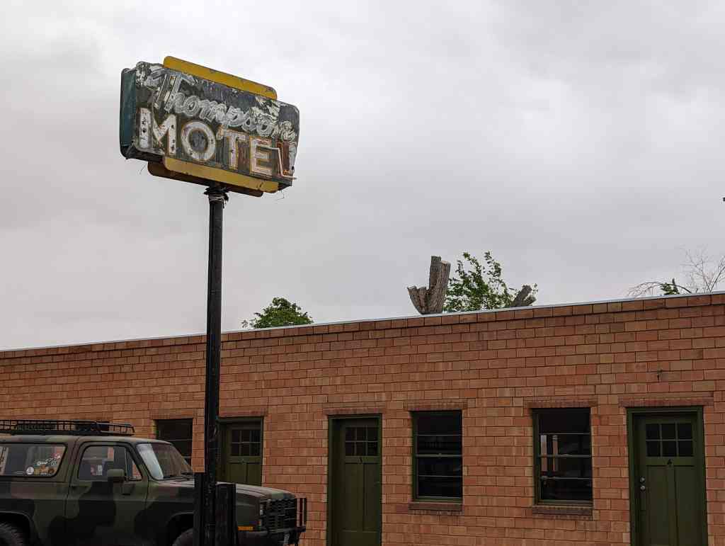
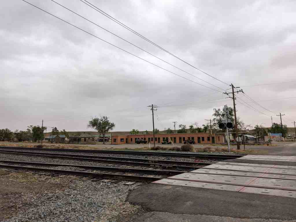
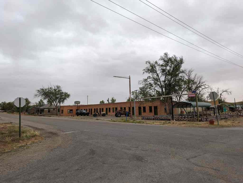
The origin of the town is the Denver and Rio Grande Western Railroad which constructed its main line through Eastern Utah in 1883. However the only thing that existed at this location was the rail siding, called Crescent for the crescent-shaped formation of the Book Cliffs in the area. A town formed approximately 5 miles east at the next rail siding, Thompson Springs. Thompson became a transfer point to unload goods from the train for shipment to other cities in the region without rail access.
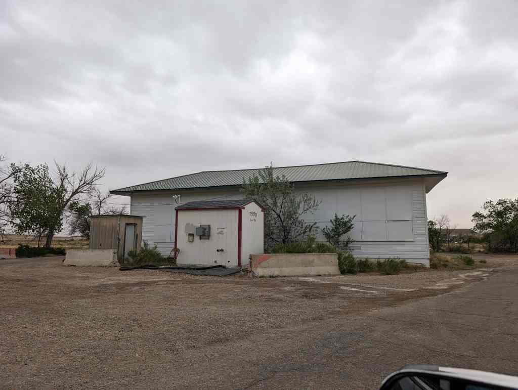
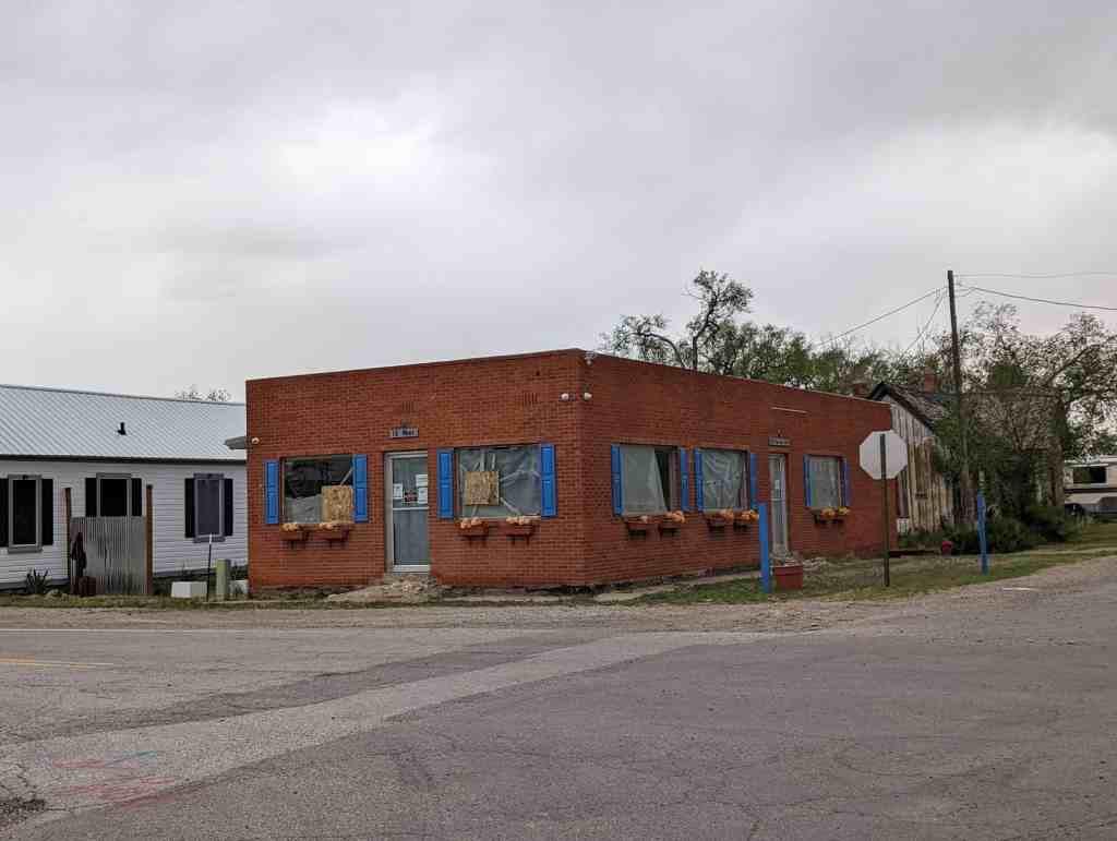
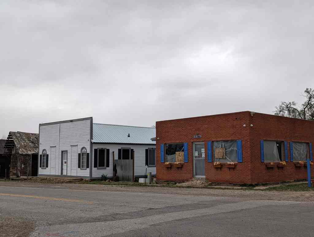
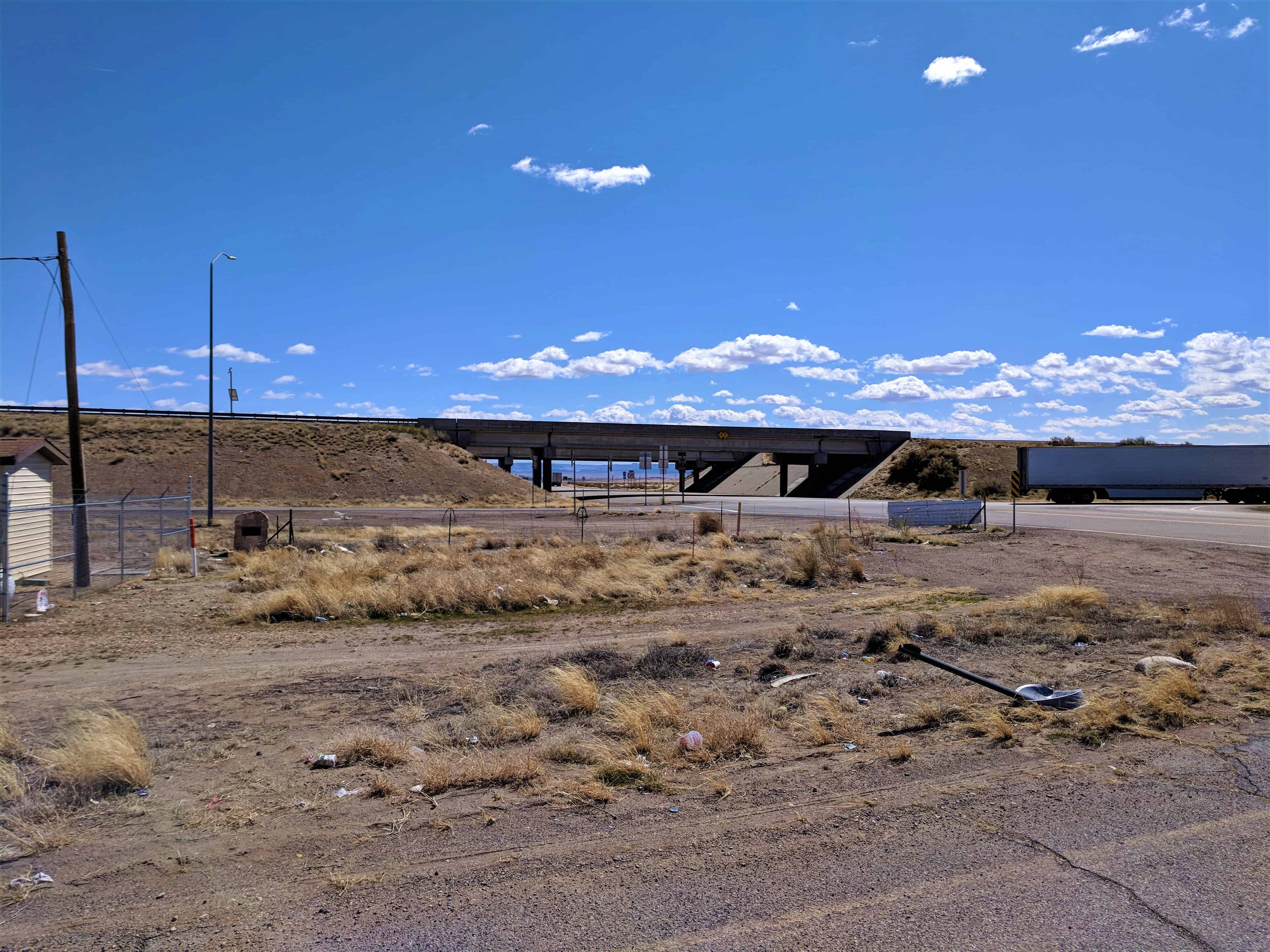
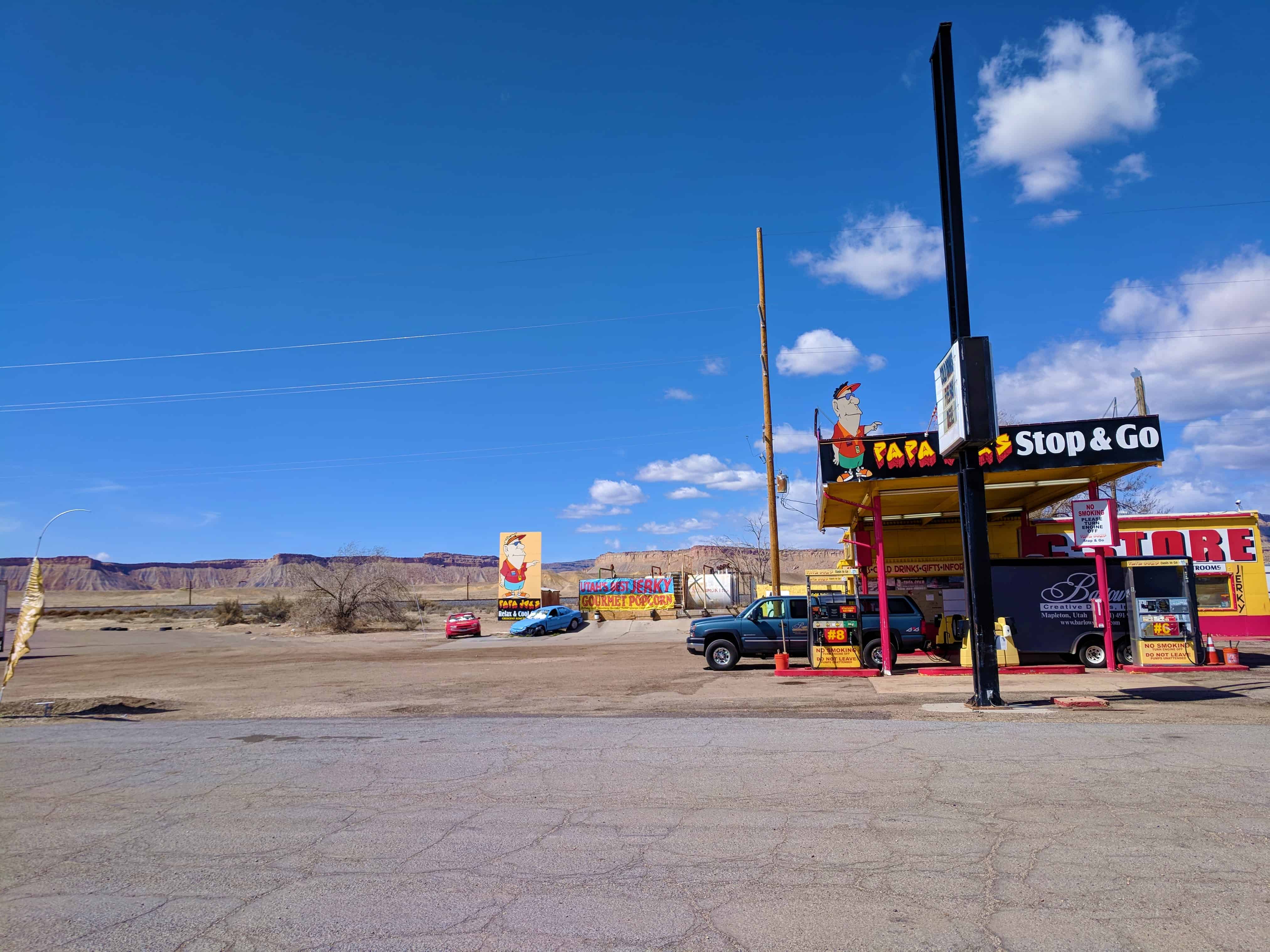
U.S. Route 50 was commissioned in Eastern Utah in 1926, loosely following the route of the railroad. However, the junction point for the highway south to Moab was moved from Thompson Springs southwest to what was called Valley City. This arrangement existed until approximately 1930, when US-50 was straightened. At that time the junction was moved again to the present site and named Crescent Junction, next to the rail siding, now called Brendel. The junction has not moved since. Over time two buildings were constructed, a gas station and restaurant.(*)
Floy or Floy Station is a railroad siding, there is a ranch exit off I-70 between Green River and Crescent Junction where you can pull off and explore.