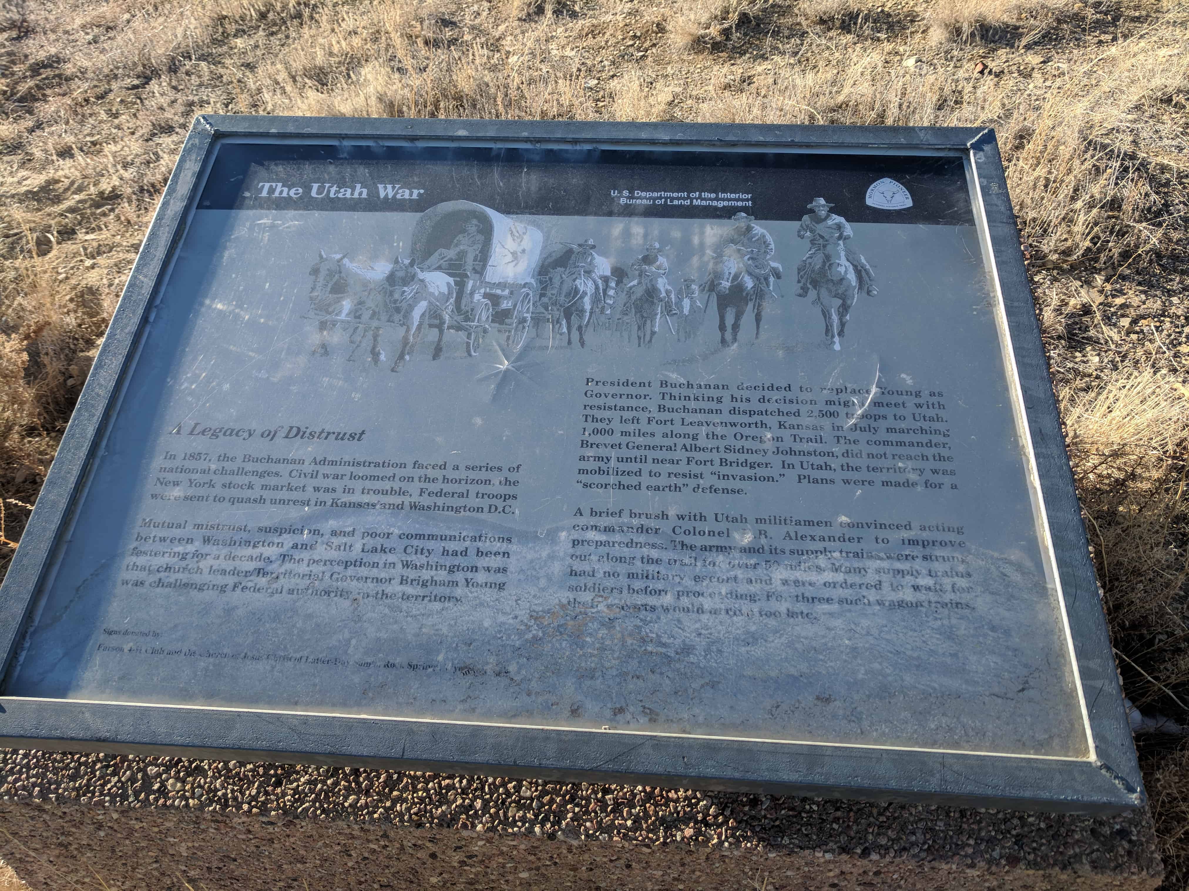
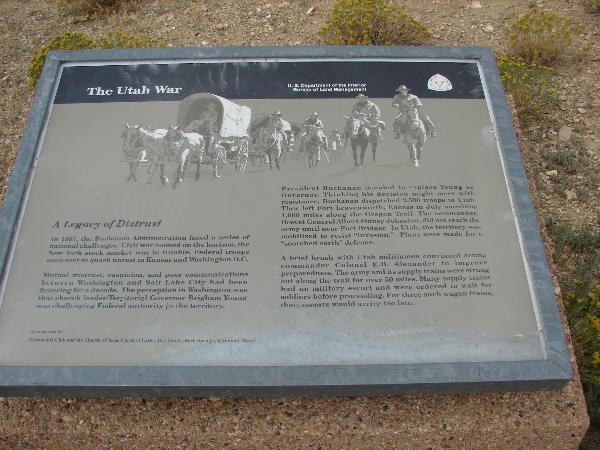
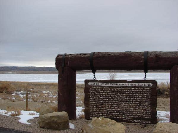
One of only three significant engagements of the Utah War, the incident at Simpson’s Hollow played a key role in the conflict. The Utah War (1857-1858) was the result of a lack of communication between the U.S. Government and the Utah Territory concerning Brigham Young’s power as governor of Utah and as head of the Church of Latter Day Saints. To resolve this conflict of interest, President Buchanan appointed a new governor, Alfred Cumming. However, fearing Utah’s citizens would not calmly accept the replacement of Young, Buchanan canceled mail service to Utah and sent out a military force of 2,500 men to safely escort Cumming to Salt Lake City. Captain Lew Simpson, for which the site is named, and his troops, were part of this military force sent to Utah on the Oregon Trail.
Upon notification of the approaching troops, Young and other Mormon leaders assumed, because they had not been notified of the administrative changes, that the army’s intent was religious persecution. Young deployed the Utah Militia, also known as the Nauvoo Legion, to slow the U.S. troops.
In October 1857, a wagon train under the command of Captain Simpson was surrounded by the Utah Militia and forced to surrender its wagons. The Militia, led by Lot Smith, released the livestock and burned all but one supply wagon, resulting in damages estimated at over $85,000. In addition to the incident at Simpson’s Hollow, the Militia burned two other wagon trains, forcing the entire army to winter near the recently burned Fort Bridger.
In the spring, Thomas L. Kane, long-time friend of the Mormons, negotiated a settlement that allowed U.S. troops to peacefully enter Salt Lake City. Young stepped down from his position and created a diplomatic relationship with Governor Cumming.
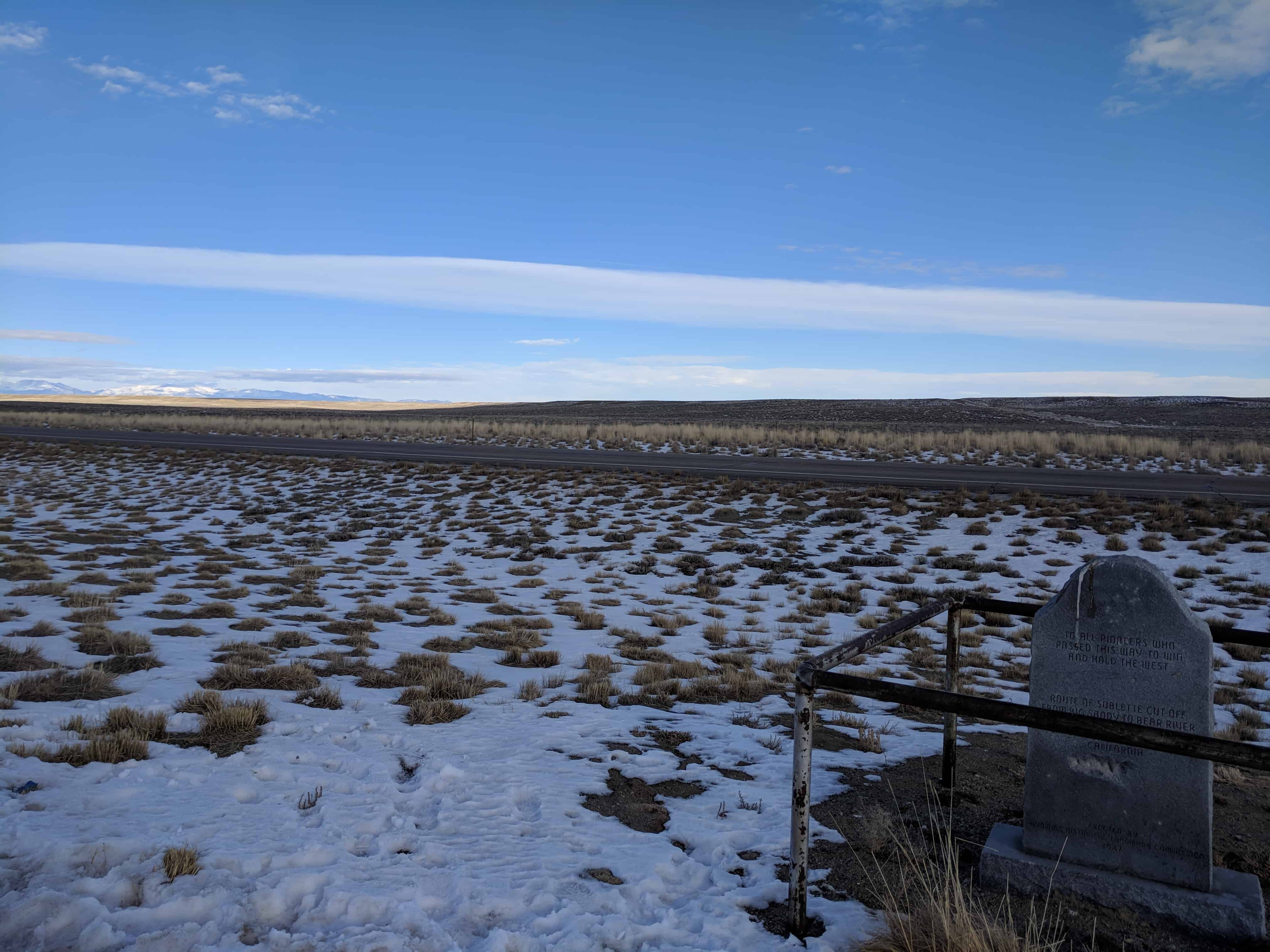
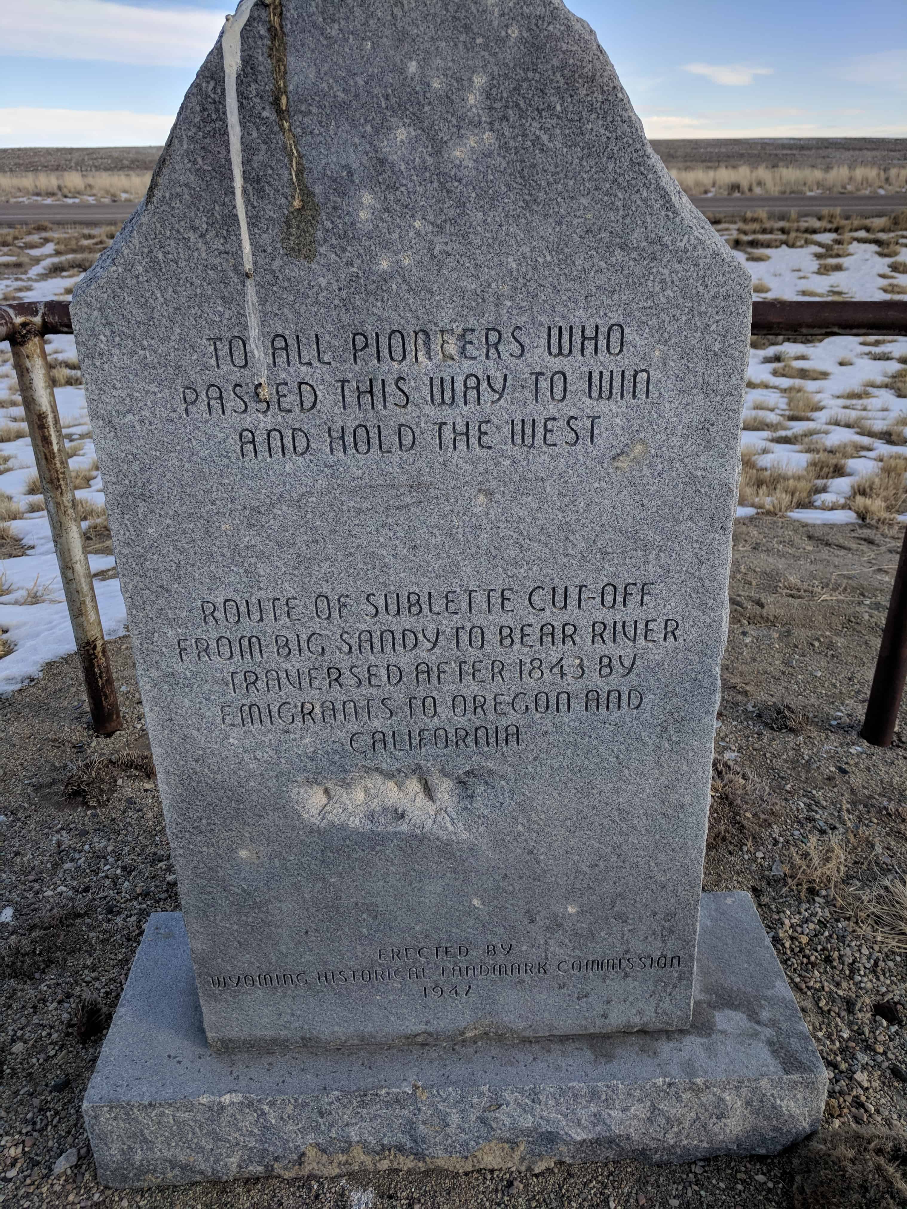
There are four historic markers here: