
Tags
Farson, historic, Historic Markers, Pony Express, Sweetwater County, Wyoming, Wyoming Historic Markers
See also, Pony Express Stations.
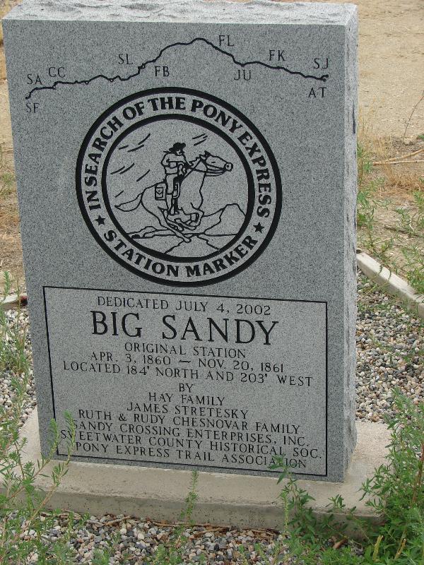
Located 13 miles from Little Sandy Station and 15 miles from Big Timber Station at west edge of the town of Farson and east of Big Sandy Creek. (Henderson) Burned by Indians in 1862. The Sandy and Little Sandy flow past on the west and south. (Wyoming Guide) The Big Sandy was a stage station on the Overland route which was destroyed by the Indians when they set fire to several stage stations and farm houses in 1864. On the eastern division of the stage line, between Big Sandy and Thirty Two Mile Creek, every station but one was burnt by the Indians. Nearly every ranchman’s house between old Julesburg and Big Sandy was deserted. Big Sandy, Little Sandy and Old Dry Sandy were stage stations which were named from the creeks in that region. (WPA)
Cross Miry Creek. Road down Pacific Creek; water scarce for 20 miles. After 11 miles, “Dry Sandy Creek ;” water scarce and too brackish to drink ; grass little; sage and greasewood plentiful. After 16 miles, “Sublette’s Cut-off,” or the “Dry Drive,” turns N.W. to Soda Springs and Fort Hall: the left fork leads to Fort Bridger and Great Salt Lake City. Four miles beyond the junction is “Little Sandy Creek,” 20-25×2; grass, timber, and good camping-ground. Eight miles beyond is “Big Sandy Creek,” clear, swift, and with good crossing, 110×2. The southern route is the best; along the old road, no water for 49 miles. Big Sandy Creek Station.(*)
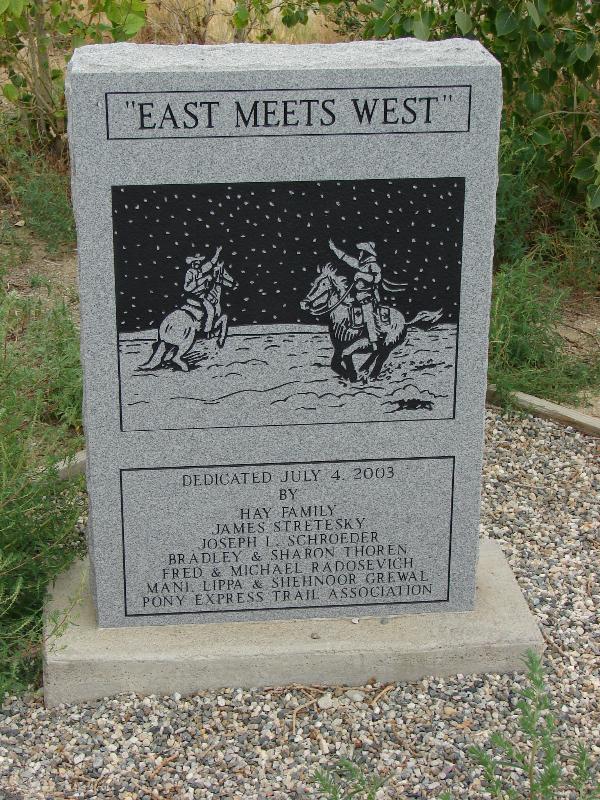


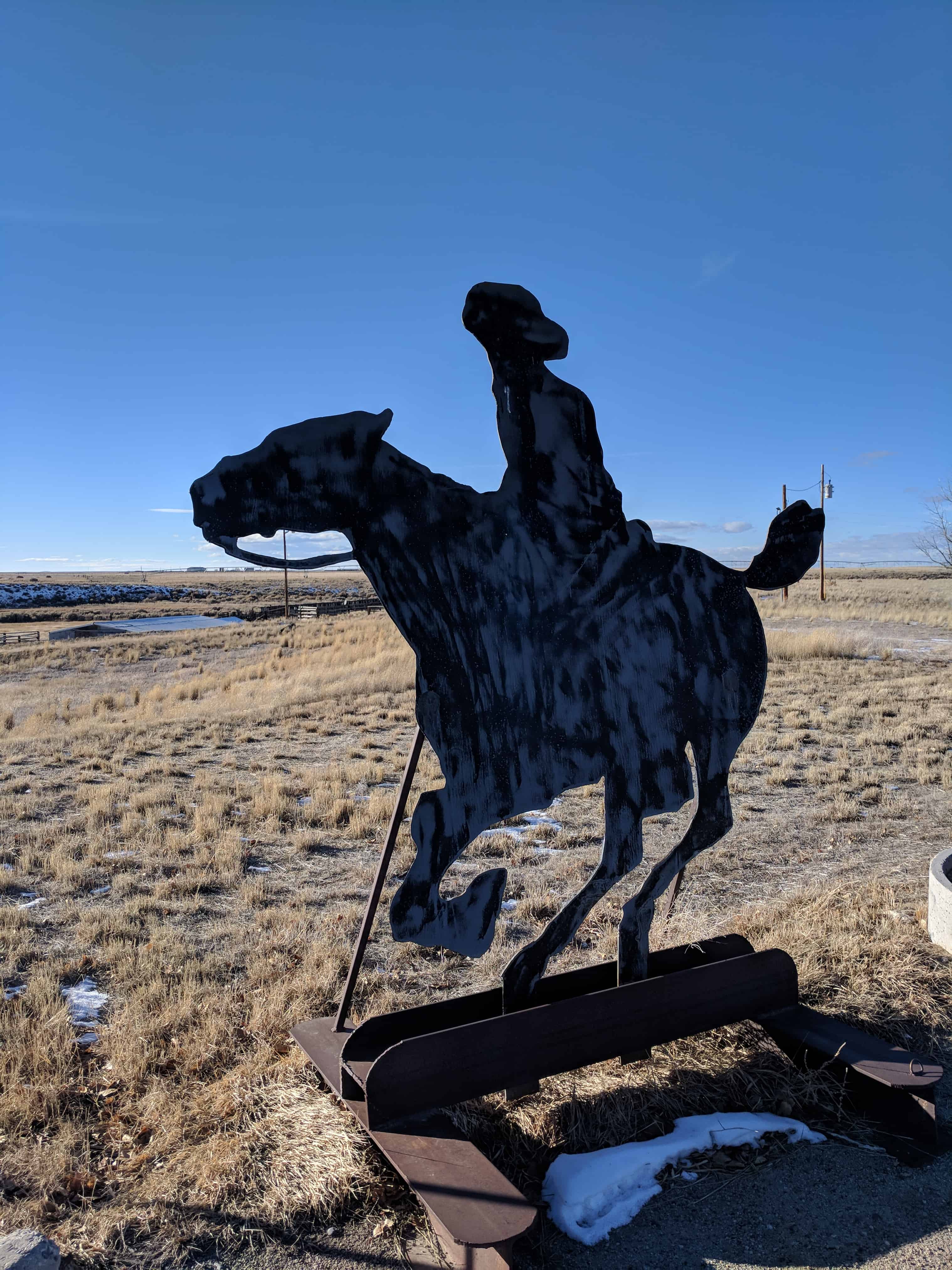
More photos from another time stopping by, in January 2018.


Pingback: Wyoming | JacobBarlow.com
Pingback: Pony Express | JacobBarlow.com