In 1880, George Starrh, a Snake River placer miner, started a ferry across Snake River one mile north of here.
From 1880-2, freighters hauling supplies for a mining rush to Wood River used Starrh’s ferry (powered by river current when stiff winds were not blowing too hard), and local traffic lasted until Milner reservoir flooded out summer operations after 1904. But a small town with a post office (1909-12) remained there for more than a decade. During that time, nearby bridges replaced Starrh’s ferry.
This is Idaho Historic Marker #28 located near Burley, Idaho
In April 1879 members of the Church of Jesus Christ of Latter-day Saints from Tooele, Utah, under direction of Wm. E. Martindale, arrived in Oakley where James Dayley and his two sons had staked claims and built cabins. On Sept. 24, 1882, the Saints were organized into a Ward with Horton D. Haight, Bishop. In 1902 the Cassia Stake Tabernacle was built of native stone, with a seating capacity of 700. It was completed at a cost $12,000. Destroyed by fire in 1965.
This is Daughters of Utah Pioneers historic marker #335 erected in 1967 at Oakley City Park in Oakley, Idaho.
In the summer of 1880 George Starrh, a placer miner, established a ferry 4 miles west of the present city of Burley. Rich mineral mines had been discovered in the Wood River country and freight was hauled between the mines and Kelton, Utah, (the nearest railroad). The wagons were taken across the Snake River on this ferry which was operated by cable and horse power. Later Thomas Starrh bought the ferry from his brother and operated it until 1905 when the railroad came to Buhl, Idaho.
Starrh’s Ferry across the Snake River was located one mile north of this monument which was relocated on June 1, 1995, by the Cassia County Company, Daughters of Utah Pioneers.
This is Daughters of Utah Pioneers historic marker #75 erected November 22, 1941 and located on Highway 30 in Burley, Idaho.
In 1811 the first white expedition to go through this area of the Snake River and the lower end of the Raft River Valley was the Wilson Price Hunt expedition from St. Louis to Astoria. However, the area was well known to the French and British trappers.
The California Cutoff was first proven a feasible route in 1826 by Peter Skene Ogden and his Snake Brigade who crossed Granite Pass. Joseph Chiles, in 1842, determined a wagon route was feasible as he wandered from California toward Fort Hall. In 1843, Chiles, with Joseph Walker, as guide, eight wagons, and thirty emigrants, turned southwest here and headed to California. Walker defined the California Wagon Trail from here to the Humboldt and to California. John C. Fremont camped September 26, 1843, on the Raft River. From 1843-48, the California Cutoff was the main route from here, southwest to the City of Rocks.
Between 1841 and 1860, about 500,000 people passed this point. Before 1848, more than 100,000 emigrants turned here on their California journey. The route continued to be used until the railroads connected in 1869.
The Parting of the Ways could be called Decision Point because here some people finally decided between heading to Oregon or California. As noted in the diary of H. M. Judson, August 11, 1862, “…bid goodbye to…they take the California road, we keep our eyes straight ahead. No tear shed, no regrets expressed. We feel considerable relieved and think we have had our train purged of many a contrary stubborn disposition and shall have less contention and fault finding.”
When the California Trail met the Salt Lake Cutoff, many pioneers took that trail into the Salt Lake Valley. Returning members of the Mormon Battalion, traveling east, pioneered a route to Salt Lake. Addison Pratt, of the Mormon Battalion, named “Twin Sisters” in the City of Rocks. This route was used by 25,000 travelers in 1849-1850, and thousands more passed through until 1869. An estimated one-third of the forty-niners traveled this way.
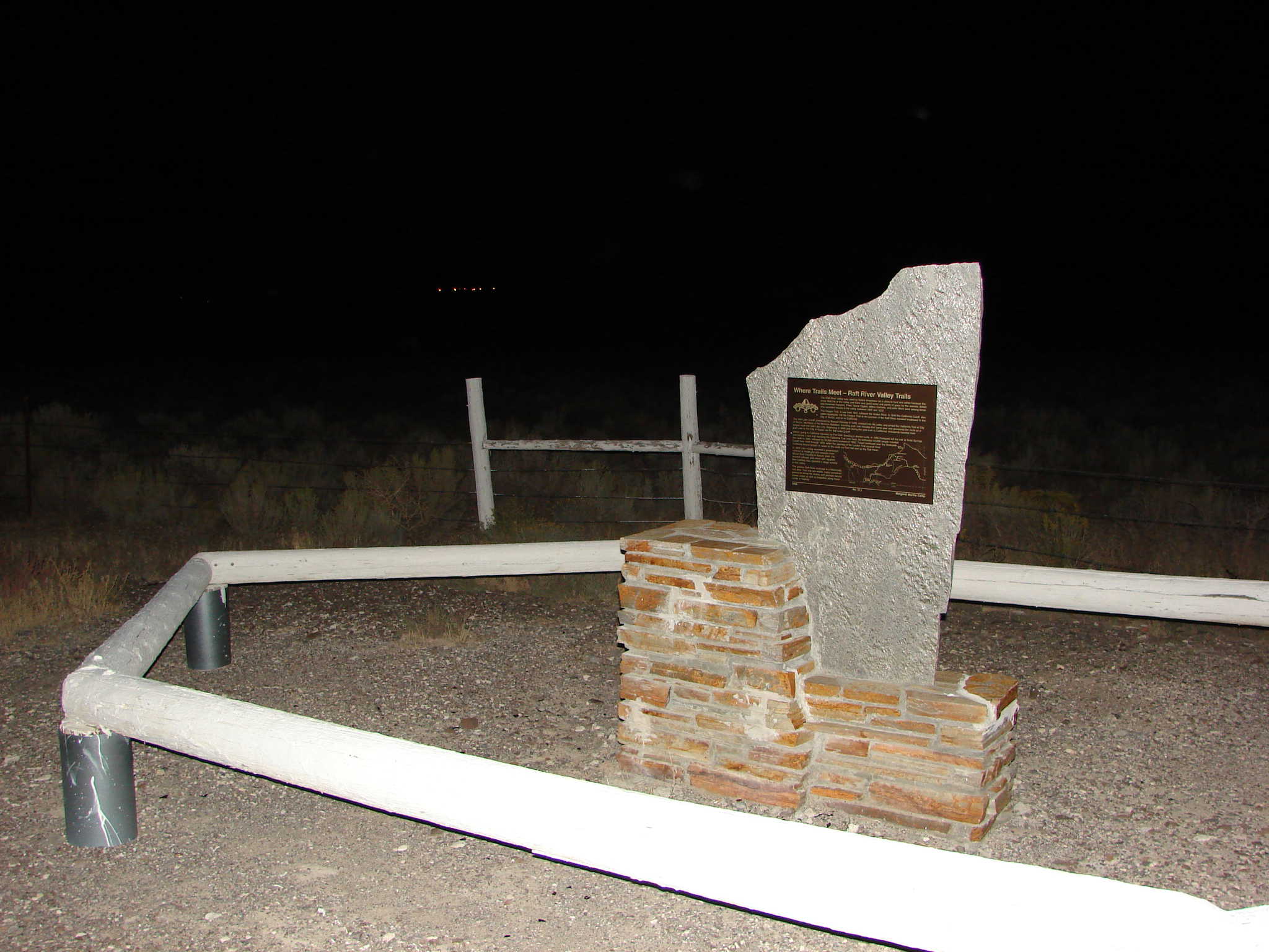
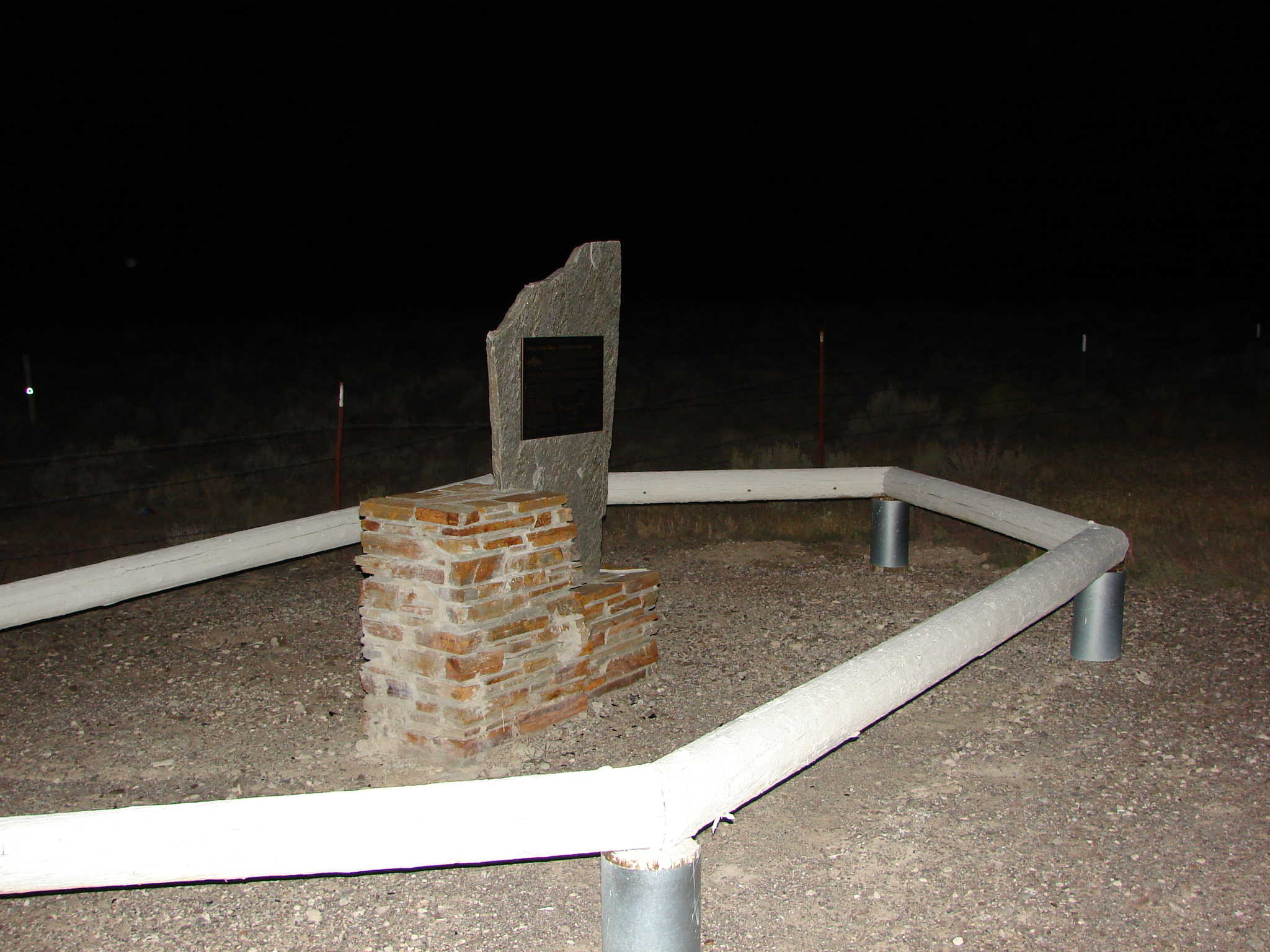
This is Daughters of Utah Pioneers historic marker #520 erected in 2001 at N 42.57710 W 113.21934 on Yale Road in Cassia County near Raft River, Idaho.
The Raft River Valley was used by Native Americans as a place to hunt and winter because the snow didn’t lie in the valley and there was good water and plenty of grass for the animals. British and American trappers, Peter Skene Ogden, Milton Sublette, and John Work were among those who recorded travels in the valley between 1825 and 1832.
The Oregon Trail, in use from 1841, followed the Snake River. In 1846 the California Cutoff, also called Applegate, left the Oregon Trail at the junction of the Raft River, traveled southwest to the City of Rocks, and on to California.
The Salt Lake Cutoff, pioneered by Samuel Hensley in 1848, crossed into the valley and joined the California Trail at City of Rocks. Members of the Mormon Battalion, traveling east, met Hensley that same year and pioneered the route as a wagon road into Salt Lake City. Beginning in 1849 and during the gold rush to California, thousands traveled from Salt Lake to the City of Rocks via the Salt Lake Cutoff.
Others going to California traveled via Fort Hall. Seeking a shorter route, in 1849 Hudspeth left the trail at Soda Springs and blazed a new trail rejoining the California Trail near here. An estimated 45,000 people traveled the route in 1850, followed by 50,000 more travelers in 1852. Travel continued over the Hudspeth Cutoff from 1849 through 1859, when the opening of the Lander Trail caused most California-bound groups to return to the route via Fort Hall and up the Raft River.
In 1869 John Hailey received a government contract to freight the rich minerals from Wood River Country to Kelton, Utah, the nearest railroad, and return with supplies. Ben Halliday also operated a stage service in this valley.
The greater Raft River drainage is a historically rich area. Trail ruts are visible, many unmarked graves lie along the routes, and journals record scenic vistas as well as tragedies along these roads in history.
Check out all of the historic markers placed by the Daughters of Utah Pioneers at JacobBarlow.com/dup