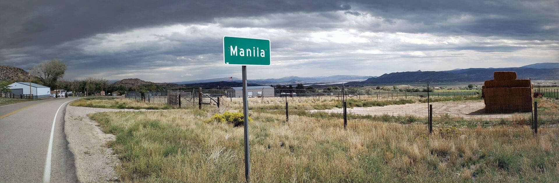
John Jarvie Historic Ranch District
The social and cultural development of human habitation in Brown’s Fark has occurred iri” an isolated geographic area of northeast Utah-northwest Colorado. The succession of cultures and their societies from the early archaic archaeological period to the present has occurred in an area that is isolated from the maintstreams of development. The Jarvie Ranch is no exception. This ranch, as did other historic period habitation locations, span the era from the individualist (outlaws, miners, etc.), who solved problems of survival and adaption on a one-to-one basis to that of a cohesive frontier society composed of persons coalescing into temporary groups to solve problems of mutual interest, Thus, Brown’s Park became “Americanized”. The Jarvie complex composed of its buildings, structures, and objects illustrate the adaption and transition of Brown’s Park society from that of the individual to that of a cohesive community of interacting social units and economic structures, Further, Jarvie Ranch, through literature search and archaeological excavation, is shedding light on the validity of local folklore; dietary range and practices; social-technological expression in its architecture; and changes in Brown’s Park social structure; heritage of local families. The sphere of cultural interaction is exhibited by the Jarvie property’s artifactual assemblages and architectural construction. Human adaption to a severe environment utilizing local materials with available technology is exhibited in the buildings, structures, and objects of the Jarvie complex, Jarvie is unique in its state of preservation and documentation and will be highly useful in documenting and recording of surrounding historic sites.
The John Jarvie Historic Ranch District was added to the National Historic Register (#86000232) on January 14, 1986. The text on this page is from the nomination form from when it was added.
Jarvie established a center for the distribution of goods and a focal point for social interaction during the early phase of permanent settlement of Brown’s Park, Other locations of habitation had existed for this purpose during the early trading and trapping period, These were abandoned after the demise of fur trapping in northeastern Utah. Socially/economically, the fur trapper period was radically different than the Jarvie period. The settlement pattern and economic structure of the outlaw period constrasted strongly from the Jarvie era, although the two interacted. The Jarvie Ranch and other ranches were focal points for social gatherings during the early permanent settlement period, The economic orientation of the Jarvie Ranch was different than those of the surrounding ranches because of the store and ferry. These conditioned the travel patterns through Brown’s Park and the character of social interaction among persons of various economic backgrounds. Jarvie, as did other settlers, brought their “culture” from their points of origin (birthplace). This is exhibited in the structures built. Other Jarvie period structures exhibit the culture of the men who built them. The artifacts and diet evidence indicate the variety of activities and cultural practices that Brown’s Park society practiced in the late 19th early 20th Centuries.
The John Jarvie family was one of the pioneer families in Brown’s Park, They arrived in 1880. Jarvie utilized a waterwheel and ditch system to irrigate the pastures necessary for his livestock interests. He also operated the only general store within a seventy-mile radius the first Brown’s Park post office, and a ferry across the Green River. Thus, the Jarvie Ranch became the Brown’s Park social center as well as a hub for commerce, communications, and transportation, Many of Brown’s Park’s legendary characters s including Butch Cassidy’s Wild Bunch, are associated with the property. Jarvie’s violent murder in 1909 greatly distressed the local population. Fortunately, however, the buildings, objects, and sites on the property today afford a unique opportunity to document his career as a respected and well-liked community leader.
Jarvie moved to Brown’s Park in 1880 and opened a store on the banks of the Green River. Since his was the only store in the area, he carried a large number of items. “He sold just about everything from Indian flour through new saddles, boots, wagon supplies, even had a pile of teepee poles for the Indians stacked outside.”
On February 14, 1881, Jarvie was appointed postmaster of the first post office in Brown’s Park, an office that served three states: Utah, Colorado, and Wyoming. The mail came from Ft. Duchesne, Utah en route to Green River City and Rock Springs, Wyoming each way every day. The post office was closed in 1887 when Jarvie was asked to investigate some suspicious dealings of a fellow postmaster in Vernal, Utah.
In 1881, when ferry operator Doc Parsons died, Jarvie took over the business and constructed a ferry on his property. The Jarvie ferry became a major north-south link for travelers and livestock journeying through Brown’s Park. The Jarvie ferry operated until 1909 with a brief interruption in service during 1902-1903 when it was temporarily put out of business because Charles Grouse built a bridge a short distance downstream.
Jarvie died on July 6, 1909 when he was murdered by two strangers who had heard he was wealthy. The July 30, 1909 issue of the Vernal Express eulogized John Jarvie by stating:
“It is hard to imagine John Jarvie dead. Harder still to think of him murdered.., He kept a ferry; but he was more than a ferryman; he kept a store, but he was not circumscribed by the small scope of a storekeeper… history will be incomplete without the last thirty years of the life story of John Jarvie.”
Brown’s Park was an area peripheral to the development of the Wyoming basin (southwest Wyoming) and the Uintah Basin. Each area had its own developmental history with Brown’s Park receiving from, but contributing little, to the culture of each area. Because of this isolation, Brown’s Park developed a society unique to the Three Corner area (northeast Utah, southwest Wyoming, northwest Colorado). In this frontier microcosm, an outlaw society developed where fugitives could easily associate with settlers. Law, as each surrounding area knew it, was absent. Instead, each society adopted a live-and-let-live attitude. This relationship was mostly harmonious, but violence occasionally occurred. The Jarvie Ranch embodied this unique blend of individualism and order which this arrangement called for. Honest people and outlaws visited and traded at the store, visited the Jarvies and spent their ill-gotten gain which, in turn, was distributed by Jarvie to his creditors. Teamsters operated on the freight road between Vernal and Rock Springs, These individuals utilized the ferry at the Ranch. This point of contact a primary source of contact between the surrounding areas and Brown’s Park, From unique arrangements much romanticized folklore has arisen. T.V., movies, books, and local folklore has centered on the outlaw, Jarvie and Brown’s Park. The ranch and its remains, historical and archaeological, can and is contributing to the separation of fact from fiction, Possibly, this property, in conjunction with other historic sites, can detail the evolution and demise of a well defined (geographically) society that existed in the late 19th Century. As many of the local people in Vernal and Rock Springs descended from Brown’s Park settlers, there is much local interest in the area and Events today are compared to those of a century ago, particularly if particular sets of families are involved. The local physiography abounds with names of the early settlers of Brown’s Park.