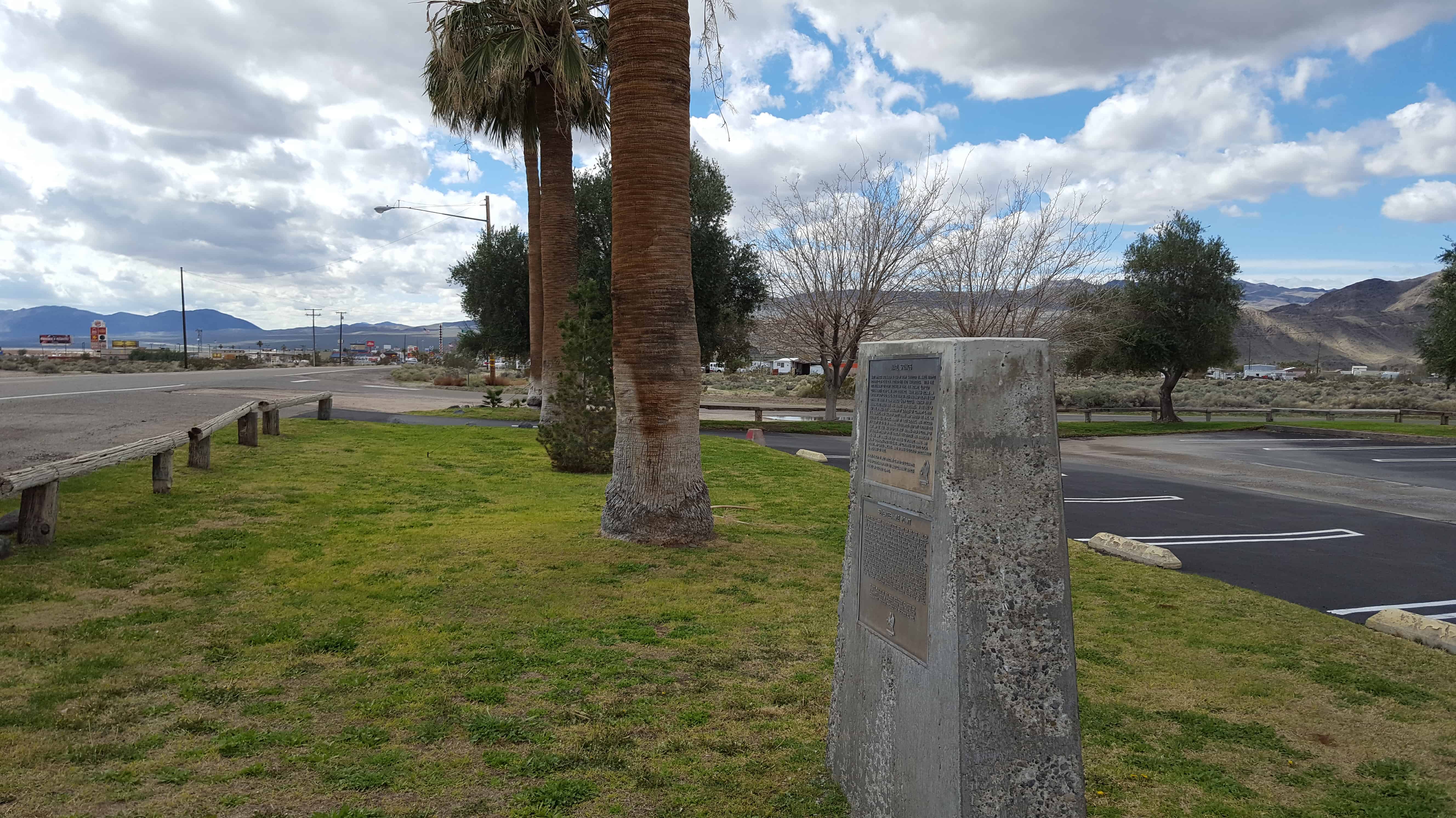
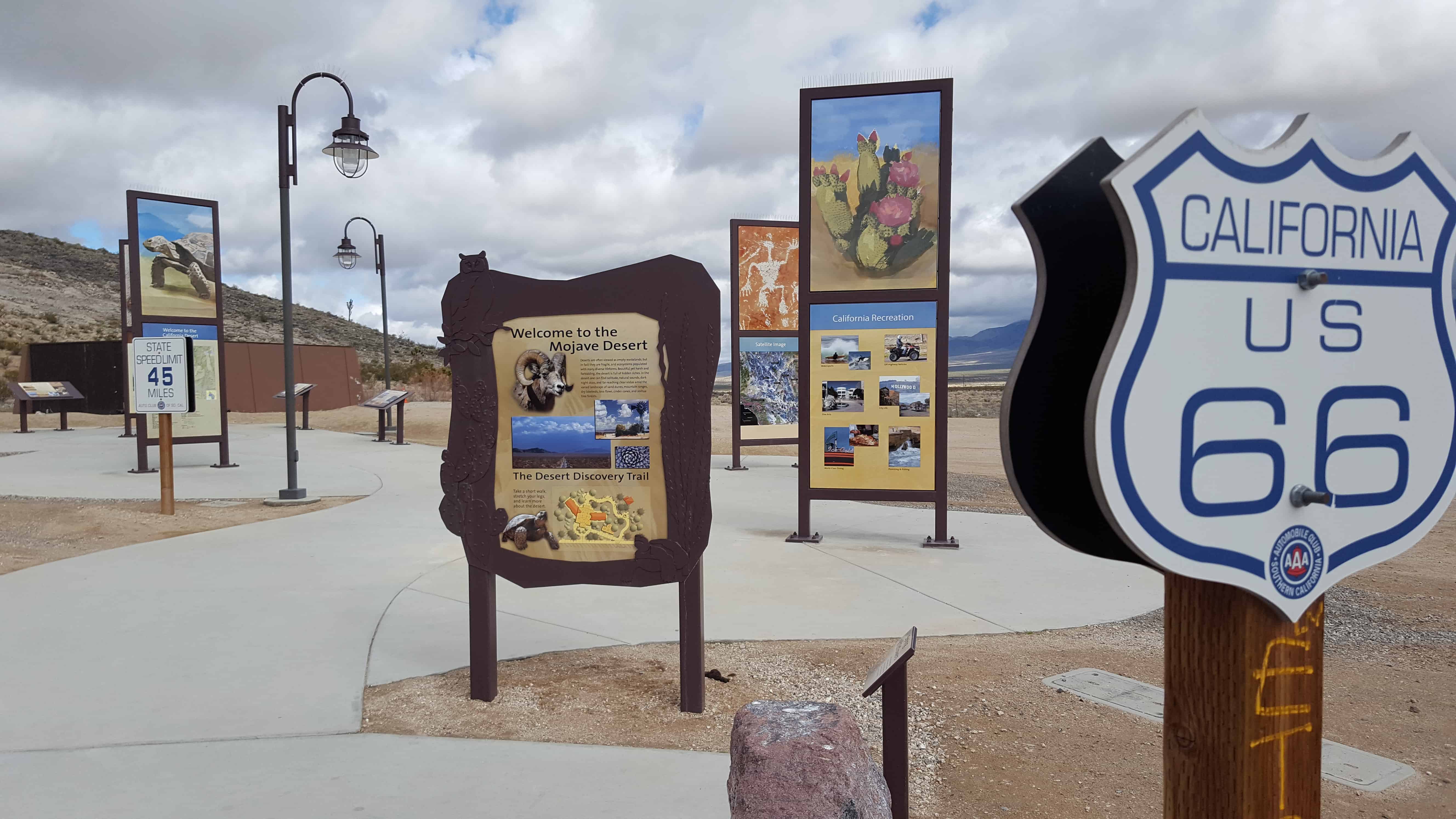
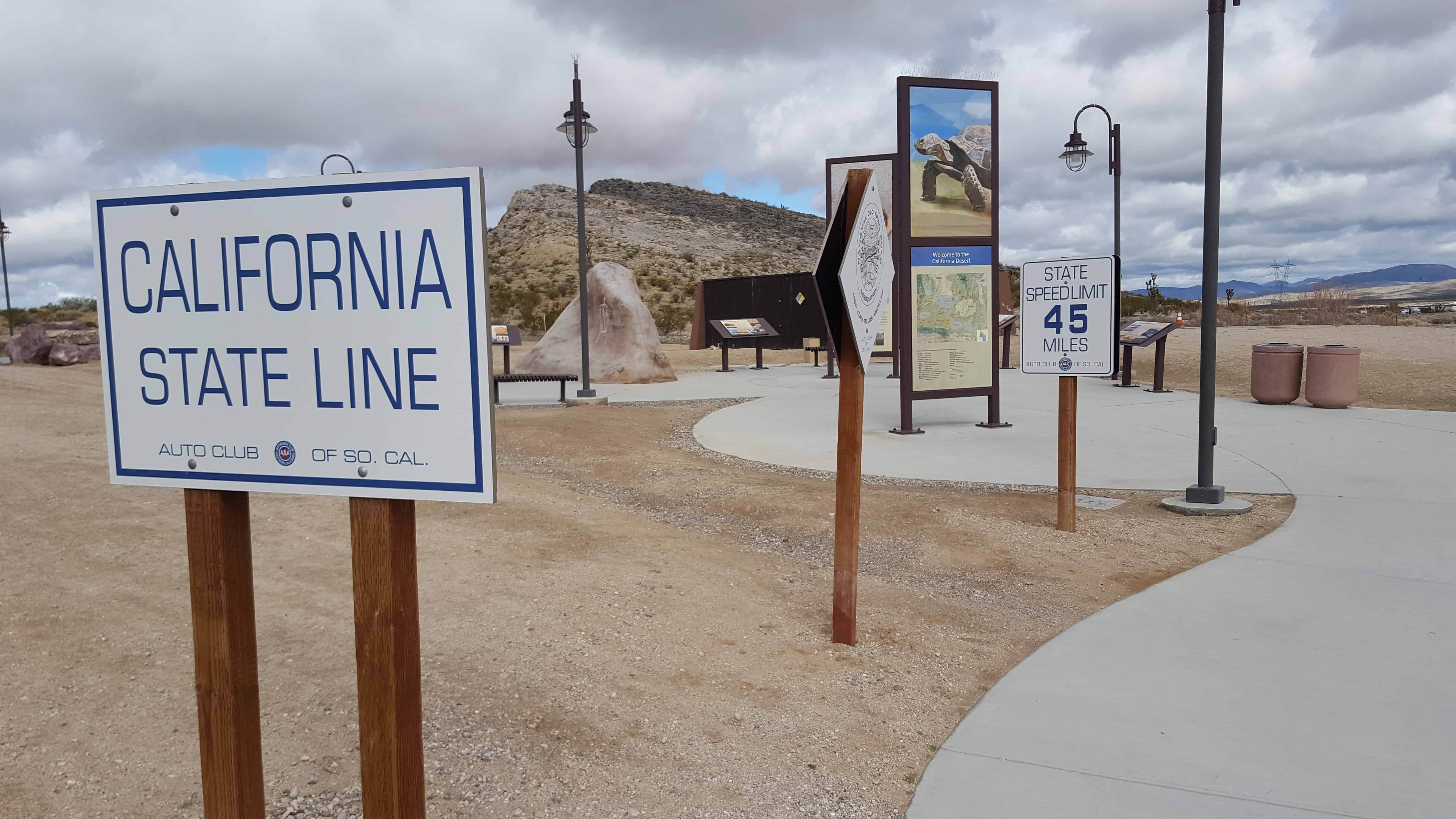
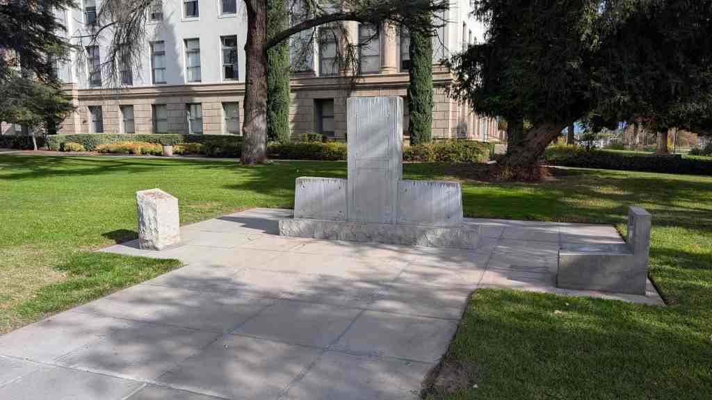
Barstow is named after William Barstow Strong, former president of the Atchison, Topeka and Santa Fe Railway. Some early Barstow names were Camp Sugarloaf, Grapevine, and Waterman Junction.
The settlement of Barstow began in the late 1830s in the Mormon Corridor. Every fall and winter, as the weather cooled, the rain produced new grass growth and replenished the water sources in the Mojave Desert. People, goods and animal herds would move from New Mexico and later Utah to Los Angeles, along the Old Spanish Trail from Santa Fe, or after 1848, on the Mormon Road from Salt Lake City. Trains of freight wagons traveled back to Salt Lake City and other points in the interior. These travelers followed the course of the Mojave River, watering and camping at Fish Ponds on its south bank (west of Nebo Center) or 3.625 miles up river on the north bank, at a riverside grove of willows and cottonwoods, festooned with wild grapes, called Grapevines (later the site of North Barstow). In 1859, the Mojave Road followed a route was established from Los Angeles to Fort Mojave through Grapevines that linked eastward with the Beale Wagon Road across northern New Mexico Territory to Santa Fe.
Marl Springs was named in 1854 by Army Surveyor Lt. Amiel Whipple for the clay-like soil around the two waterholes. With the establishment of Fort Mojave in 1859, the Mojave (or Old Government) Road came into existence. Marl Springs became an important stop over being more than 30 miles eastward from the last dependable water Soda Springs (now Zzyzx). Though never abundant, the water here has always been reliable. In the fall of 1867 the springs were garrisoned by soldiers of Company K, 14th U.S. Infantry, who escorted supply trains and guarded the mail. On October 17, 1867, the post, manned by three soldiers, was attacked by a group of 20 to 30 Indians. The defenders held out through the night and the siege was lifted the next morning when a column of 150 soldiers appeared on the horizon. The outpost was abandoned in May, 1868. Marl Springs has been witness to sporadic mining and milling operations over the years and continues to serve local wildlife and cattle ranchers. Marl Springs is located approximately 25 miles east of here.
In 1859 the U.S. Army established Fort Mojave on the east bank of the Colorado north of Needles to guard the important river crossing at the Mojave Villages. The Mojave (or Old Government) Road came into being to link the fort with the Port of Los Angeles. Supplies, troops, and mail traveled over this route, with many heavy wagons traveling eastward. The portion from Soda Springs (now Zzyzx) to Marl Springs was approximately 35 miles, the longest waterless stretch on the trail. It also gained 3,000 feet in elevation over this distance, much of the way over deep, soft sand. This northern-most spur of Old Dad Mountain, midway between the two waterholes, was known as Seventeenmile Point. In an attempt to avoid the worst of the desert heat, heavily laden supply wagons would typically leave Soda Springs at night, make a dry camp nearby, and continue on the next day to the dependable water at Marl Springs. Seventeen mile point is located approximately twelve miles east of here.
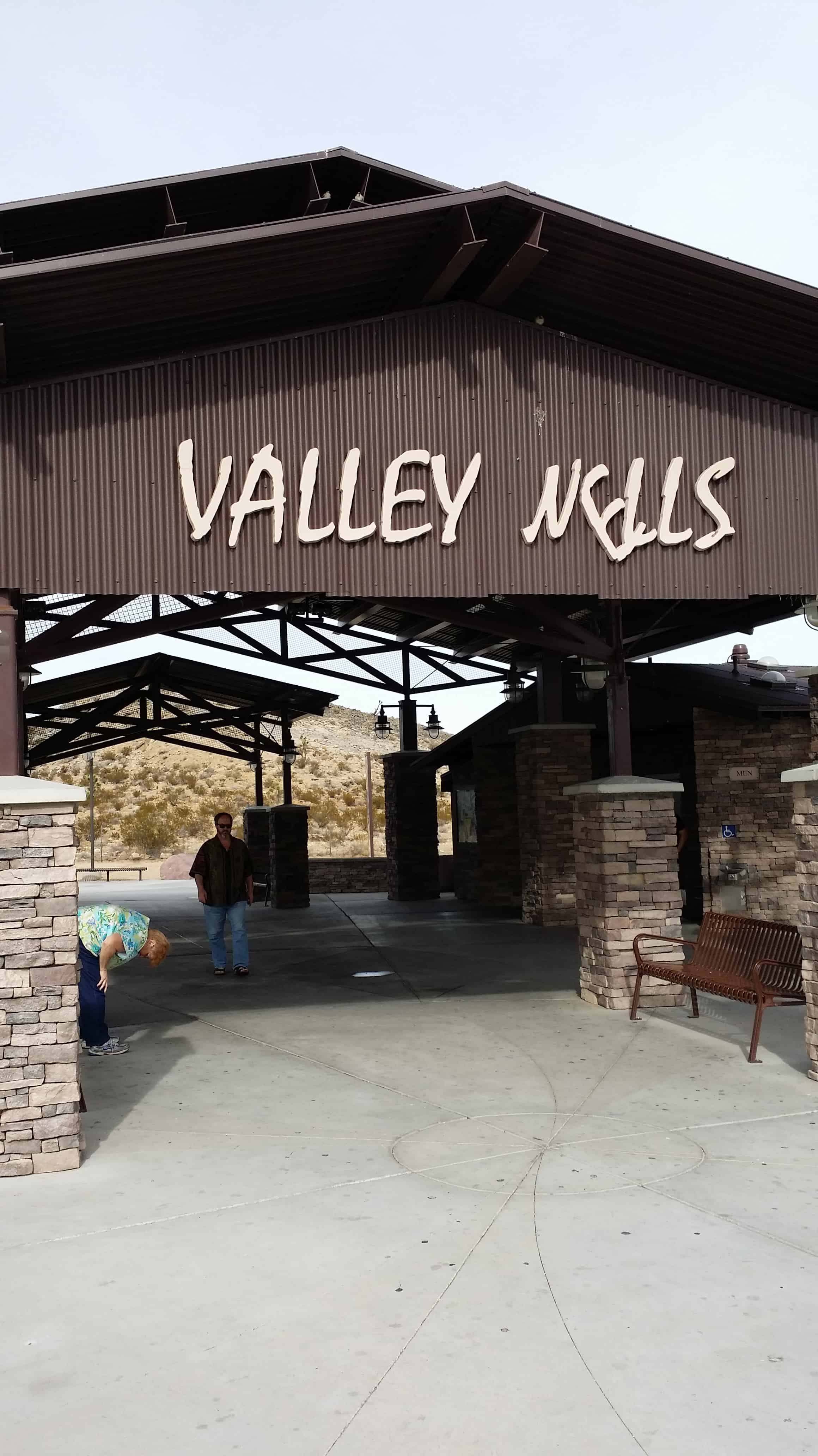
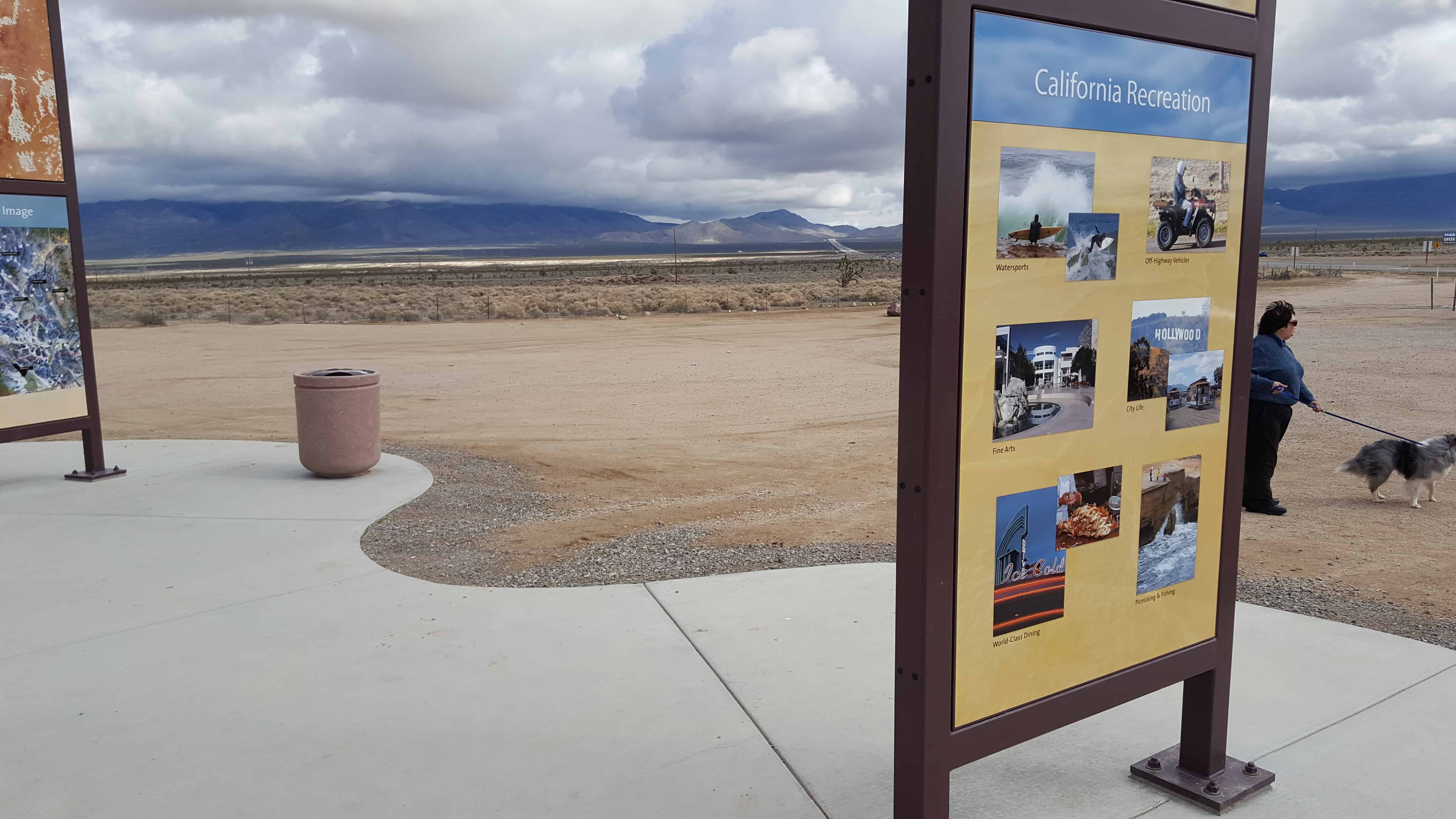
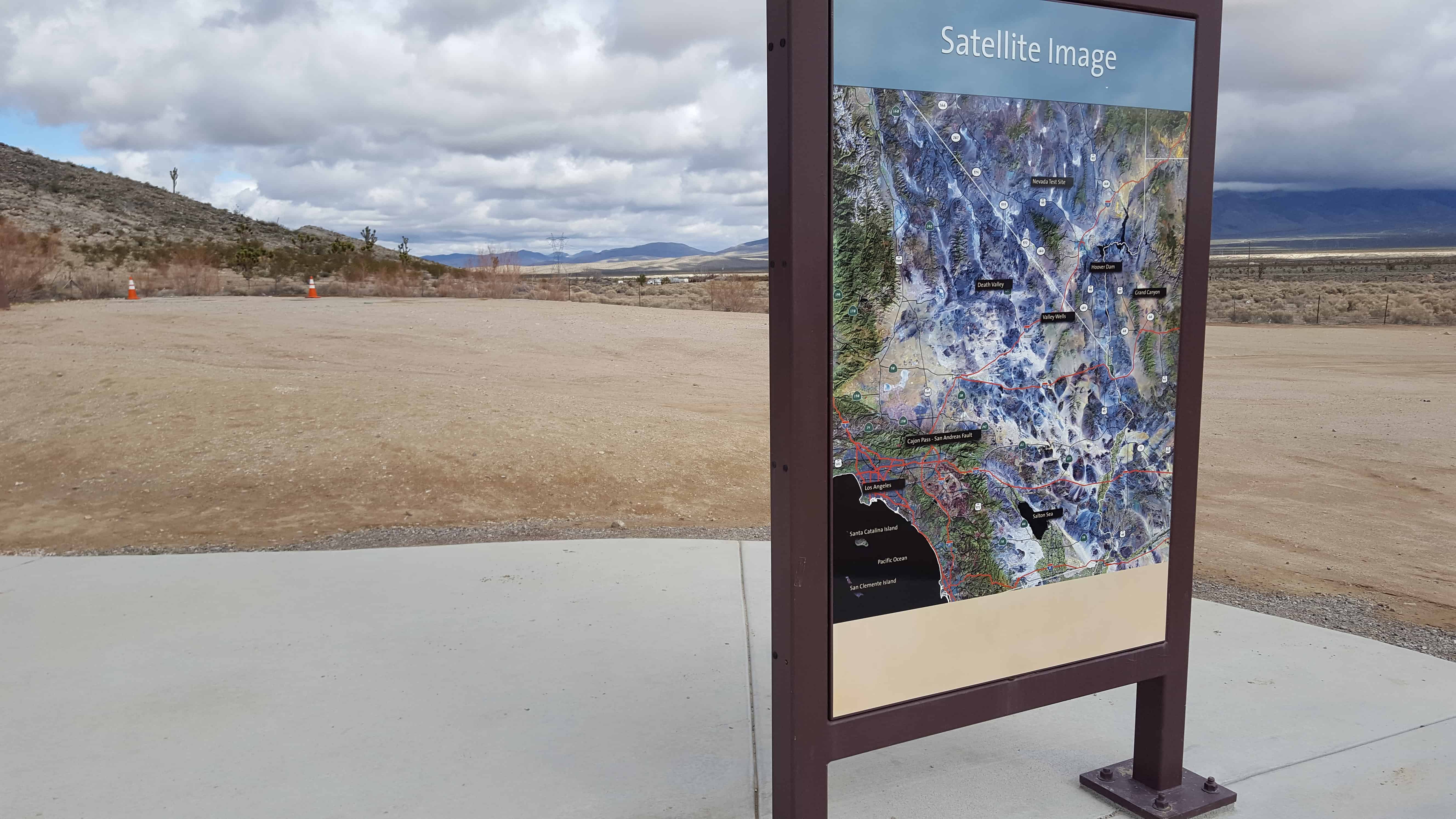
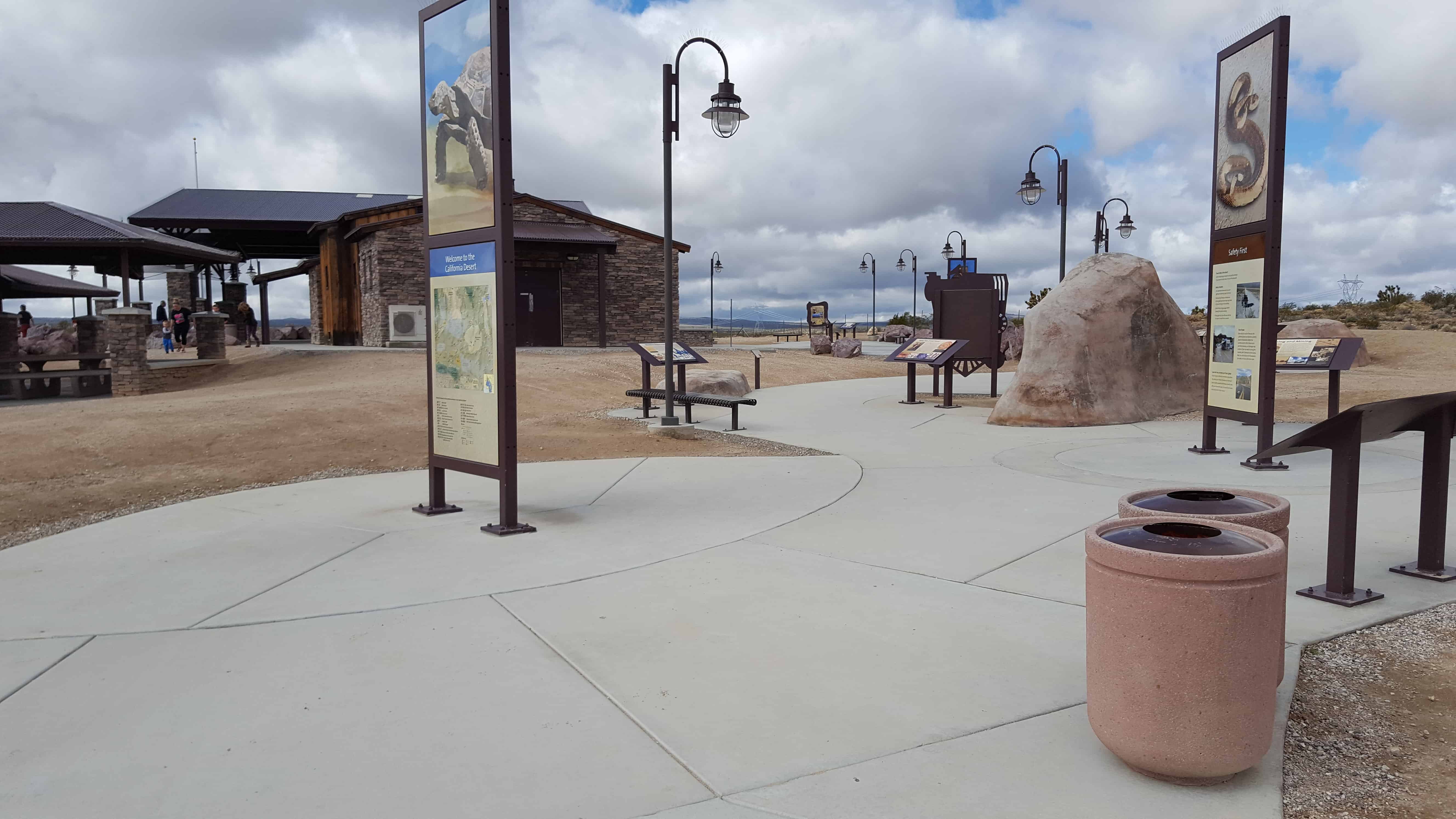
Valley Wells Rest Area Southbound, for the Northbound rest area across the freeway from this one visit this page.
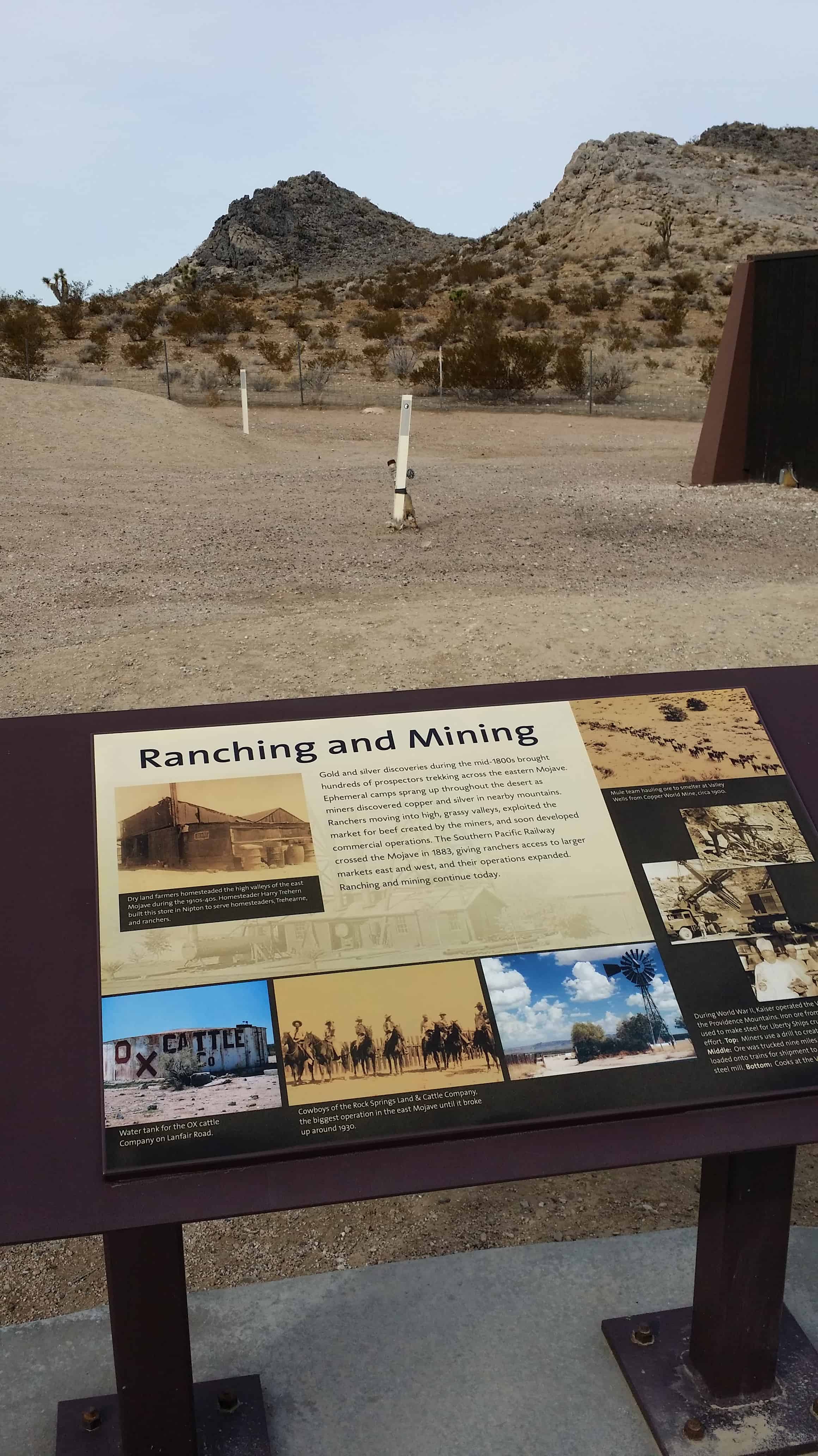
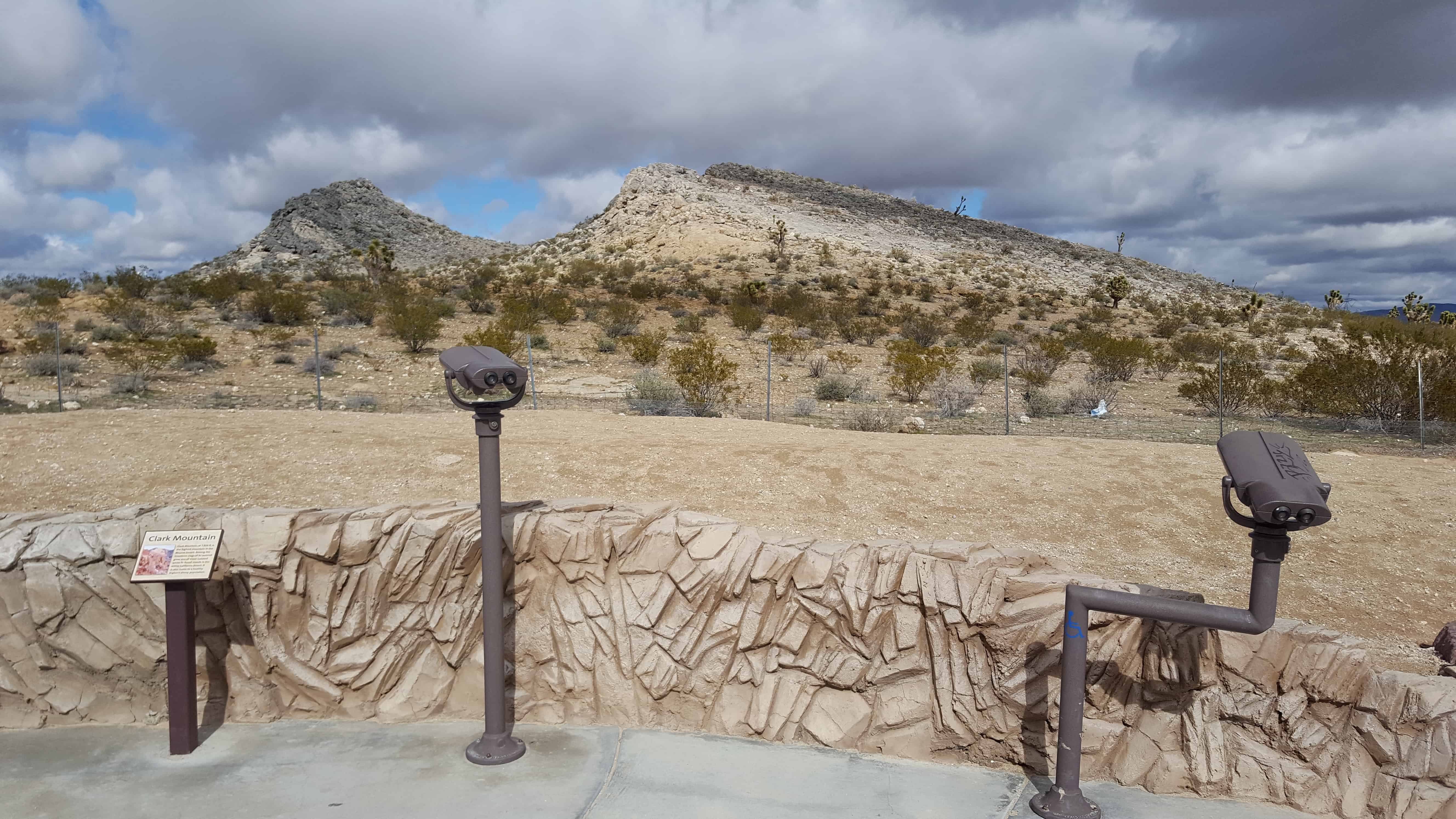
In the late 1860’s copper was discovered on Clark Mountain. and the Clark Mining District was organized. Ore was rich but high transportation costs soon caused mining to cease. In the late 1890’s the railroad came within 30 miles and the original strike, the Copper World Mine, was reopened. Two wells were sunk and in 1899 a 10-ton smelter was built, treating ore hauled by 20-mule teams. In 1917 a 100-tom furnace was built, but was in use onlya a short while. In 1894 Valley Wells (formerly known as Rosale) became headquarters of the ? Ranch Cattle Co. Ranching ceased around 1950. The copper world reopened in 1977 and there is large scale production of gold and rare-earth minerals in the Clark District up to the present day.
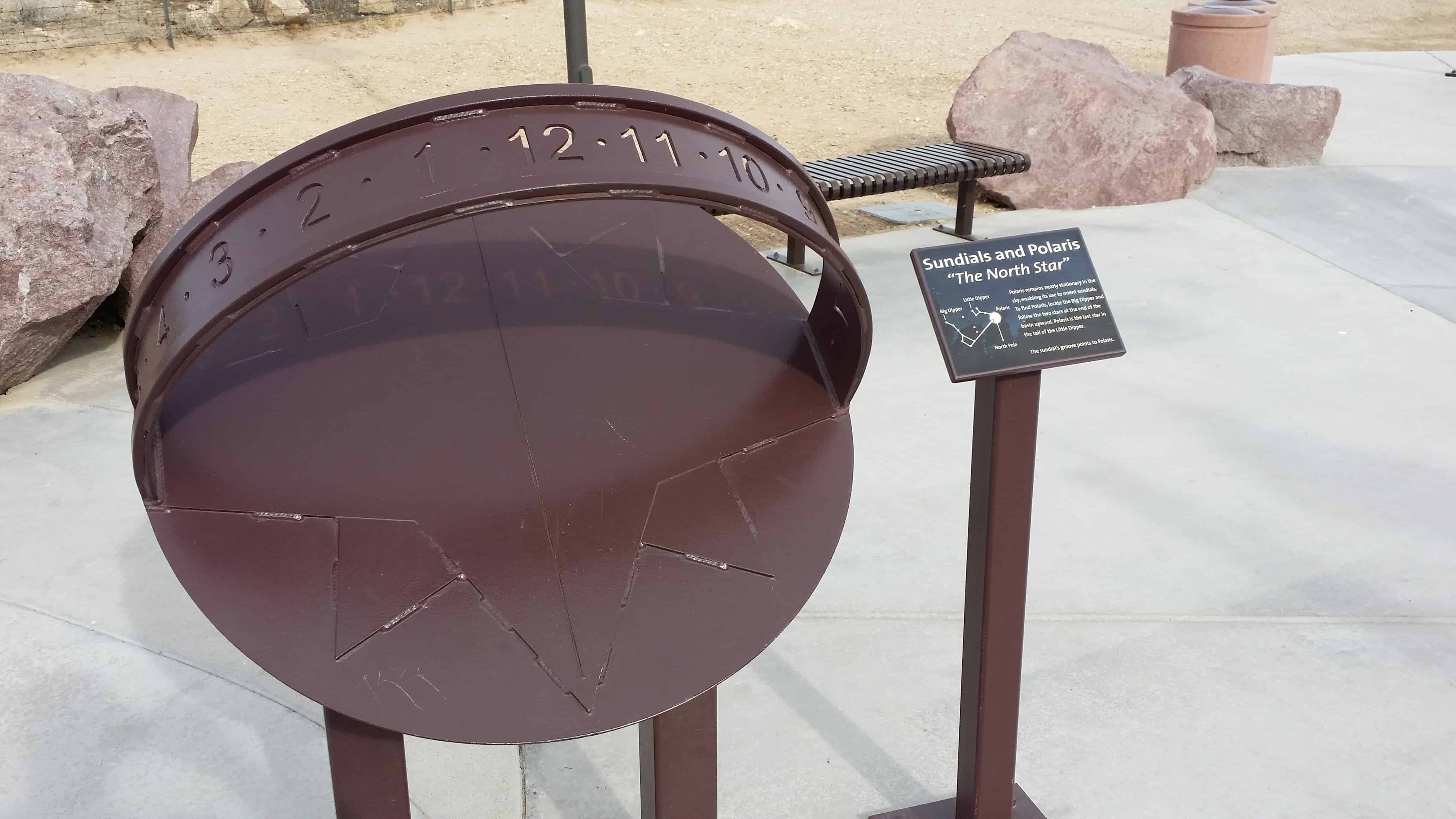
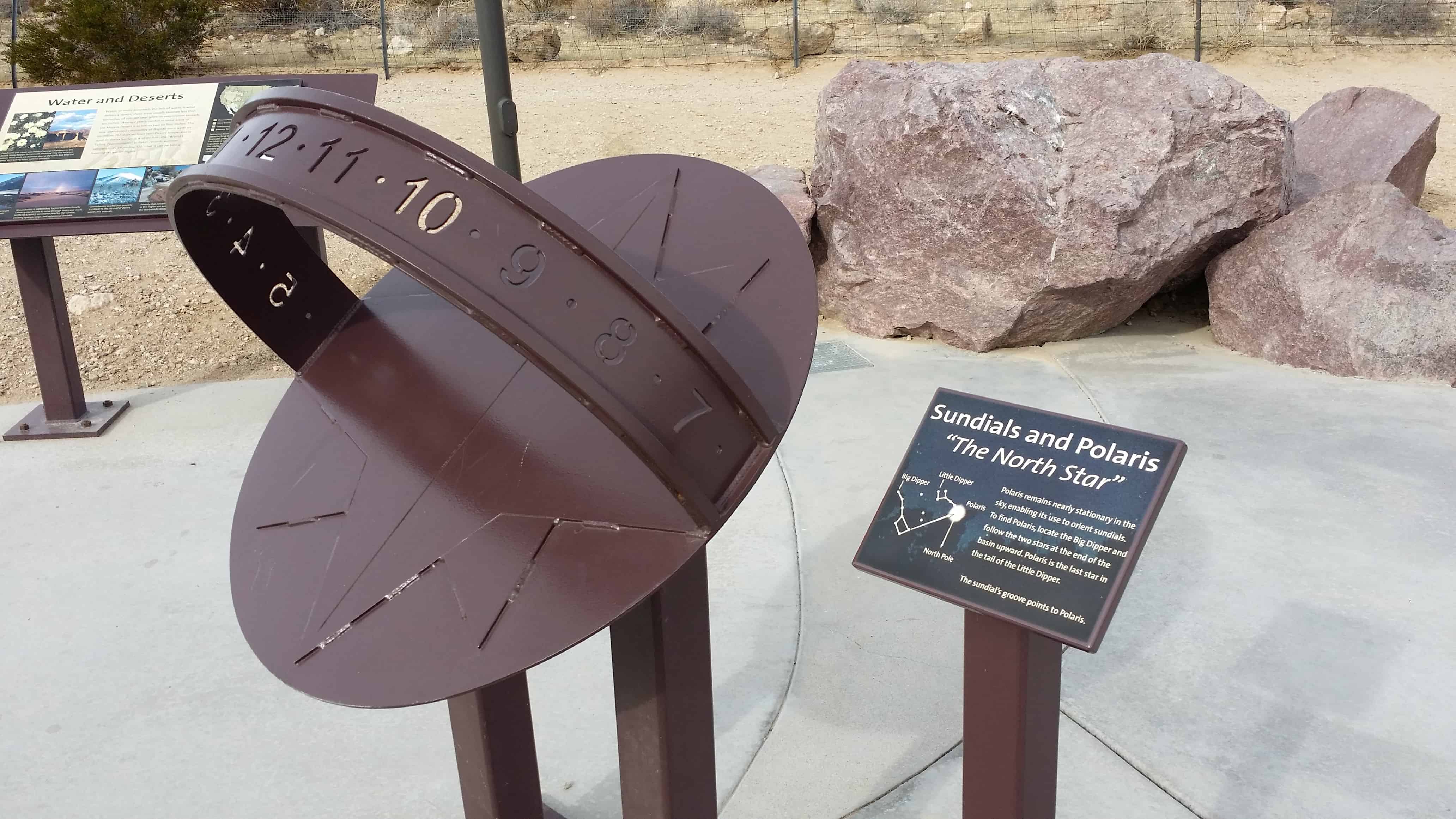
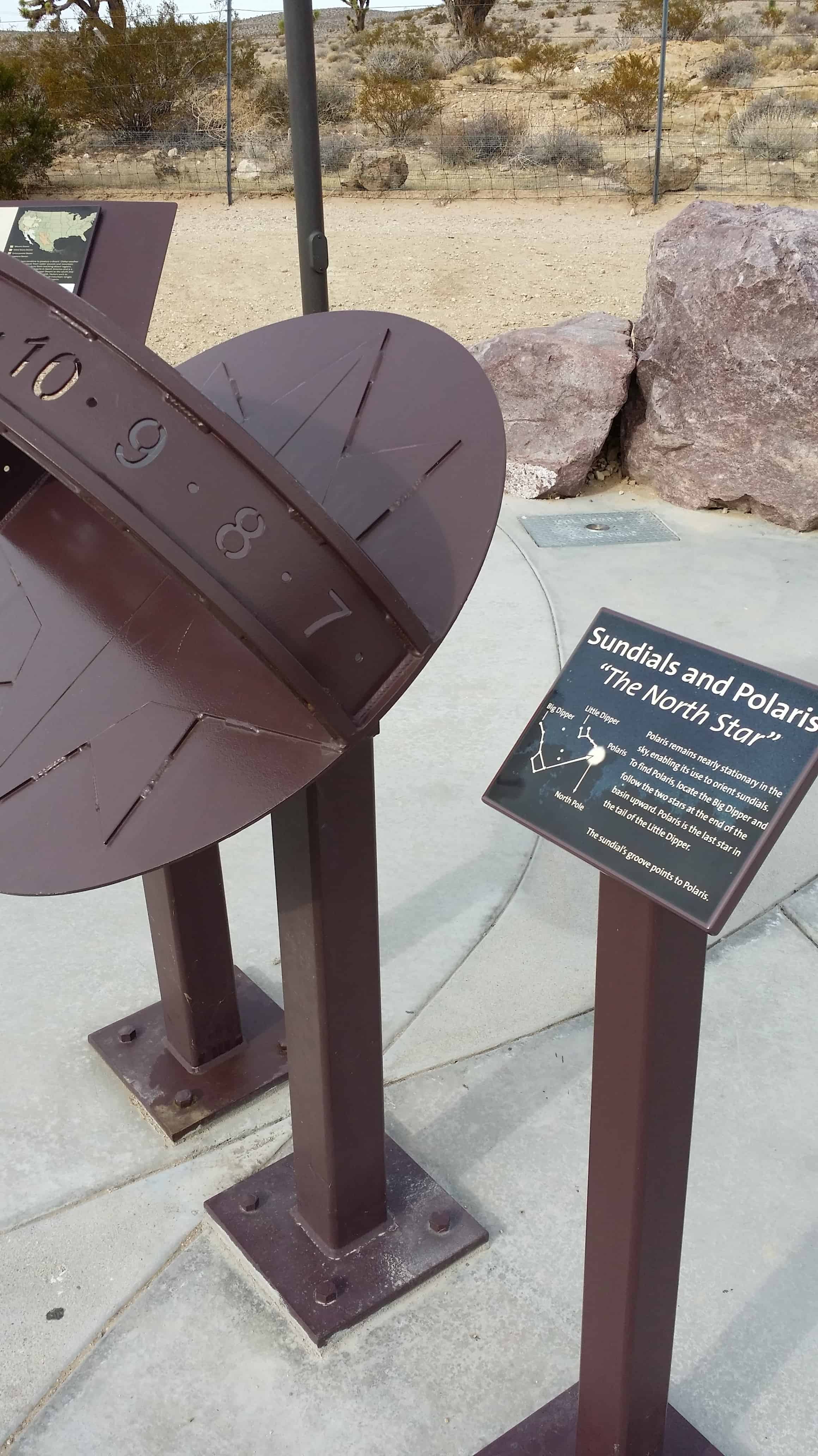
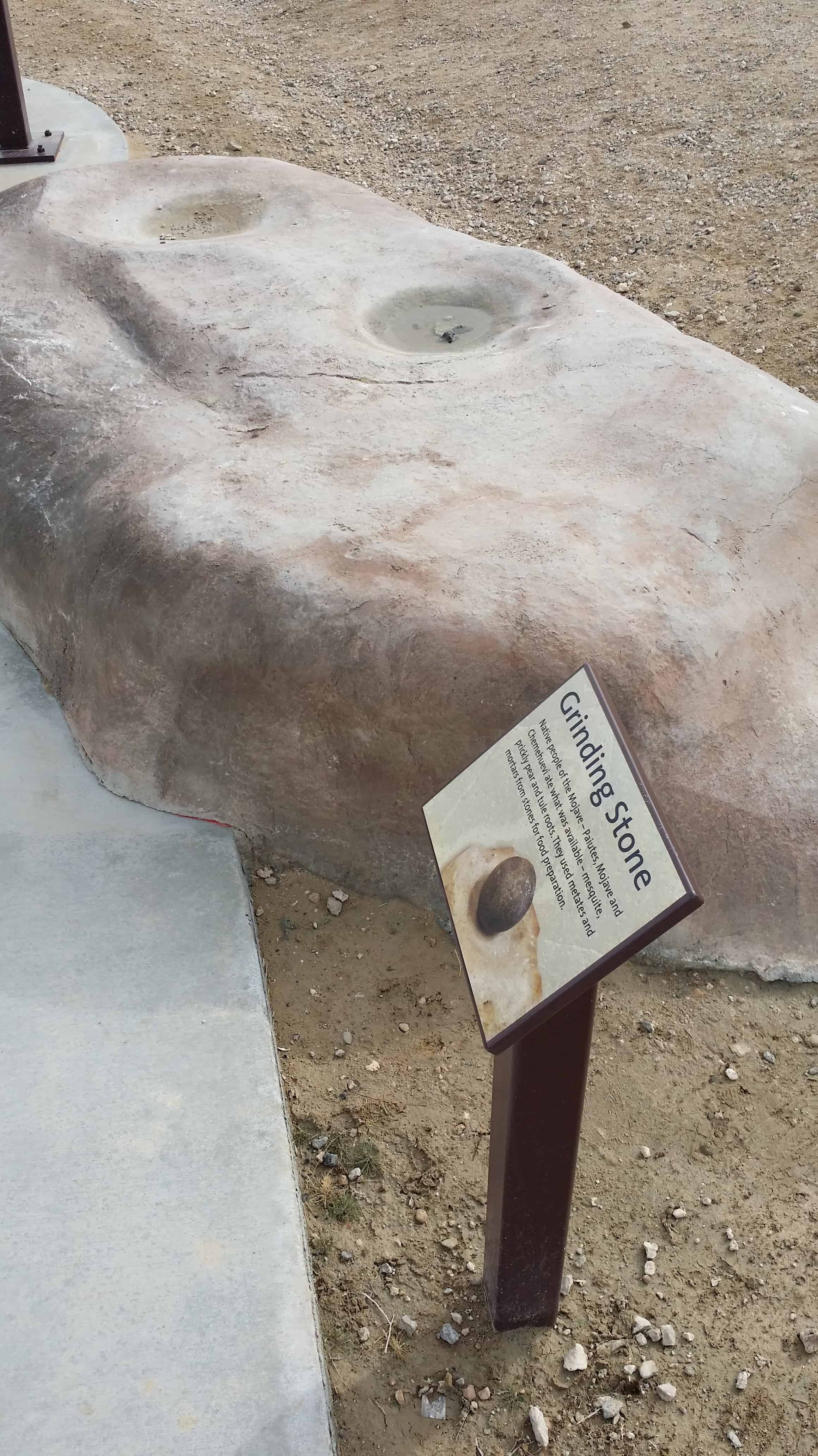
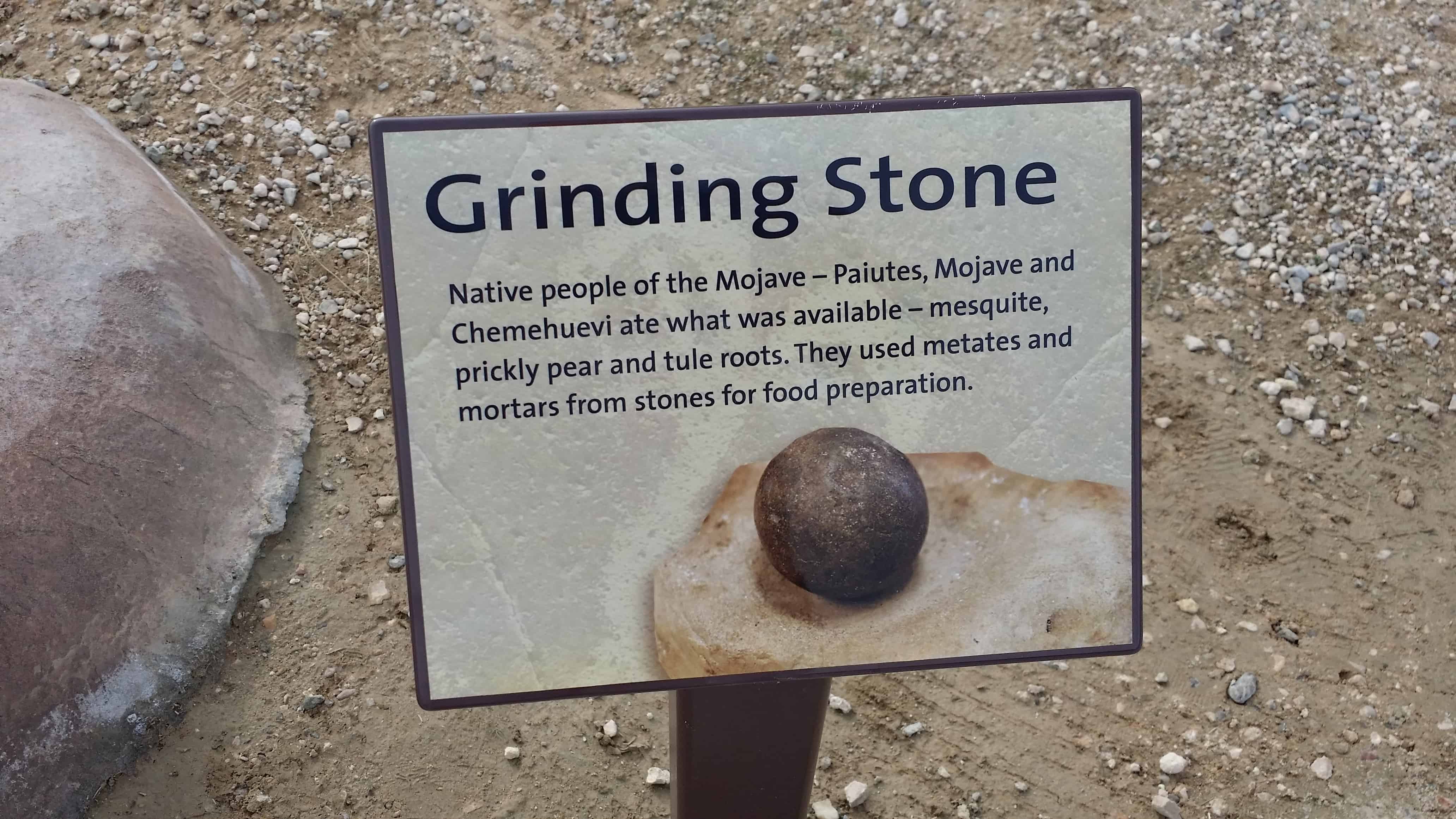
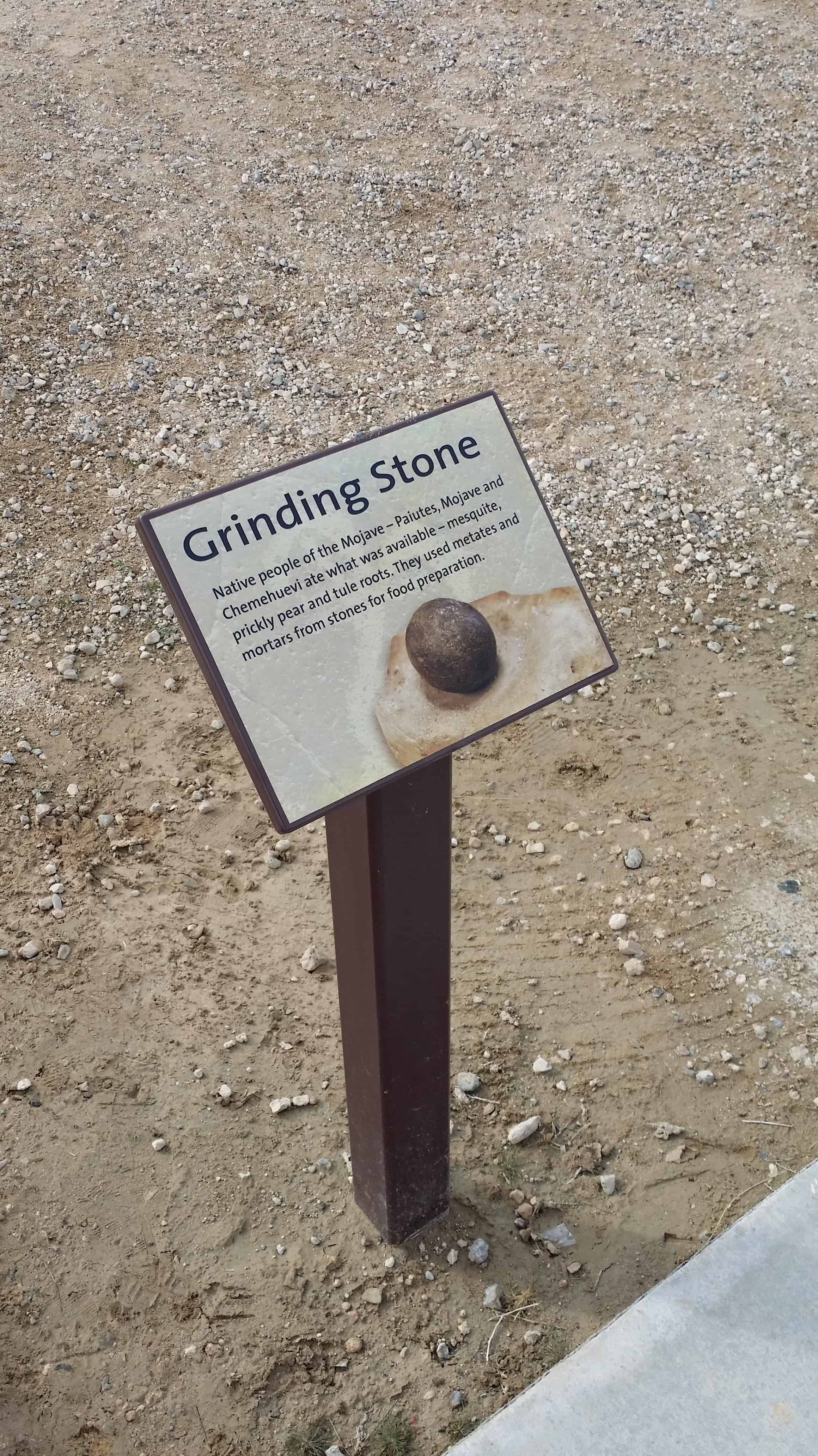
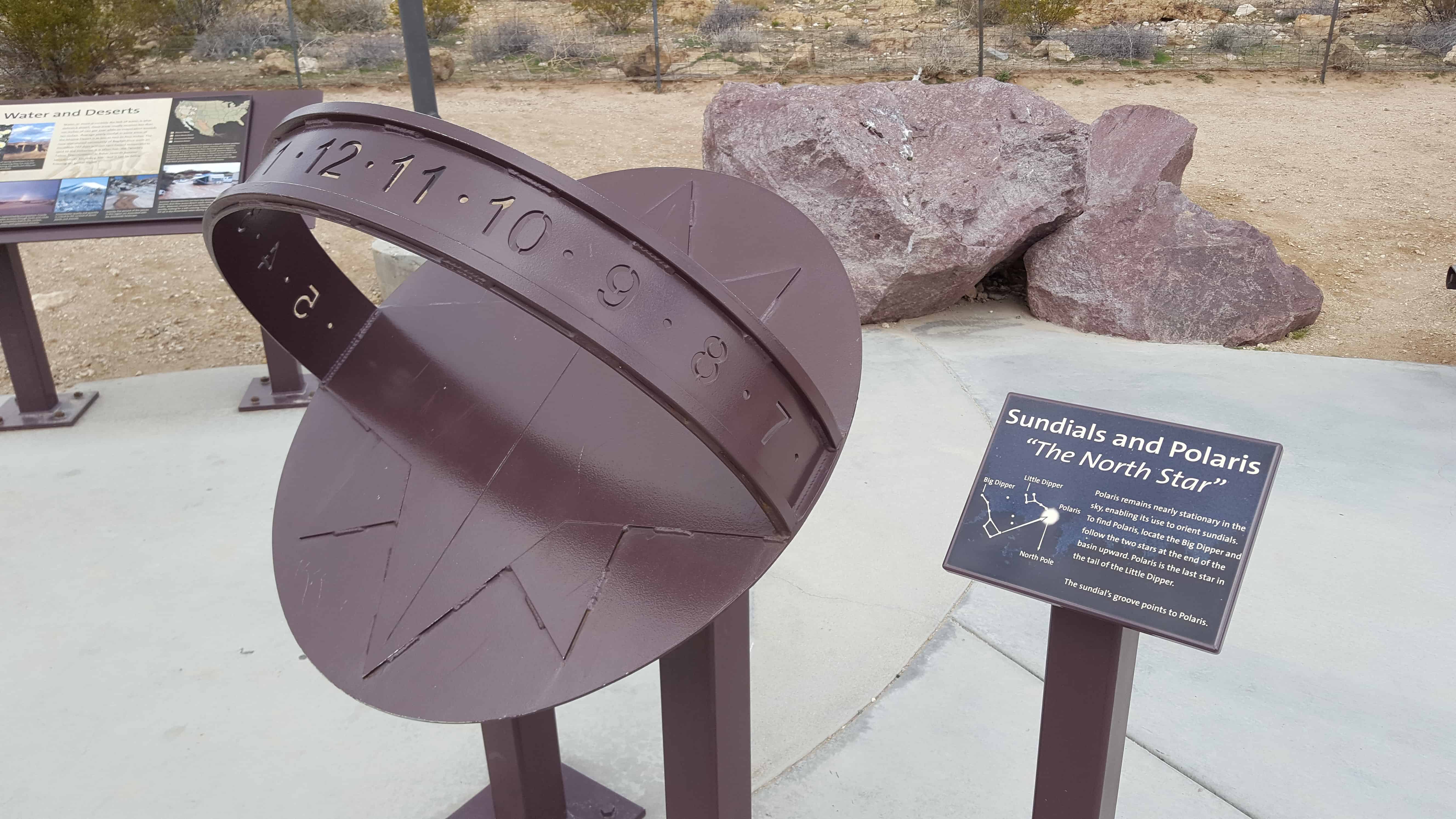
This display teaches and shows you how to find the north star by using this sundial, even in the daytime. The plaque says, “Polaris remains nearly stationary in the sky, enabling its use to orient sundials. To find Polaris, located the Big Dipper and follow the two stars at the end of the basin upwards. Polaris is the last star in the tail of the Little Dipper. The Sundials groove points to Polaris.”
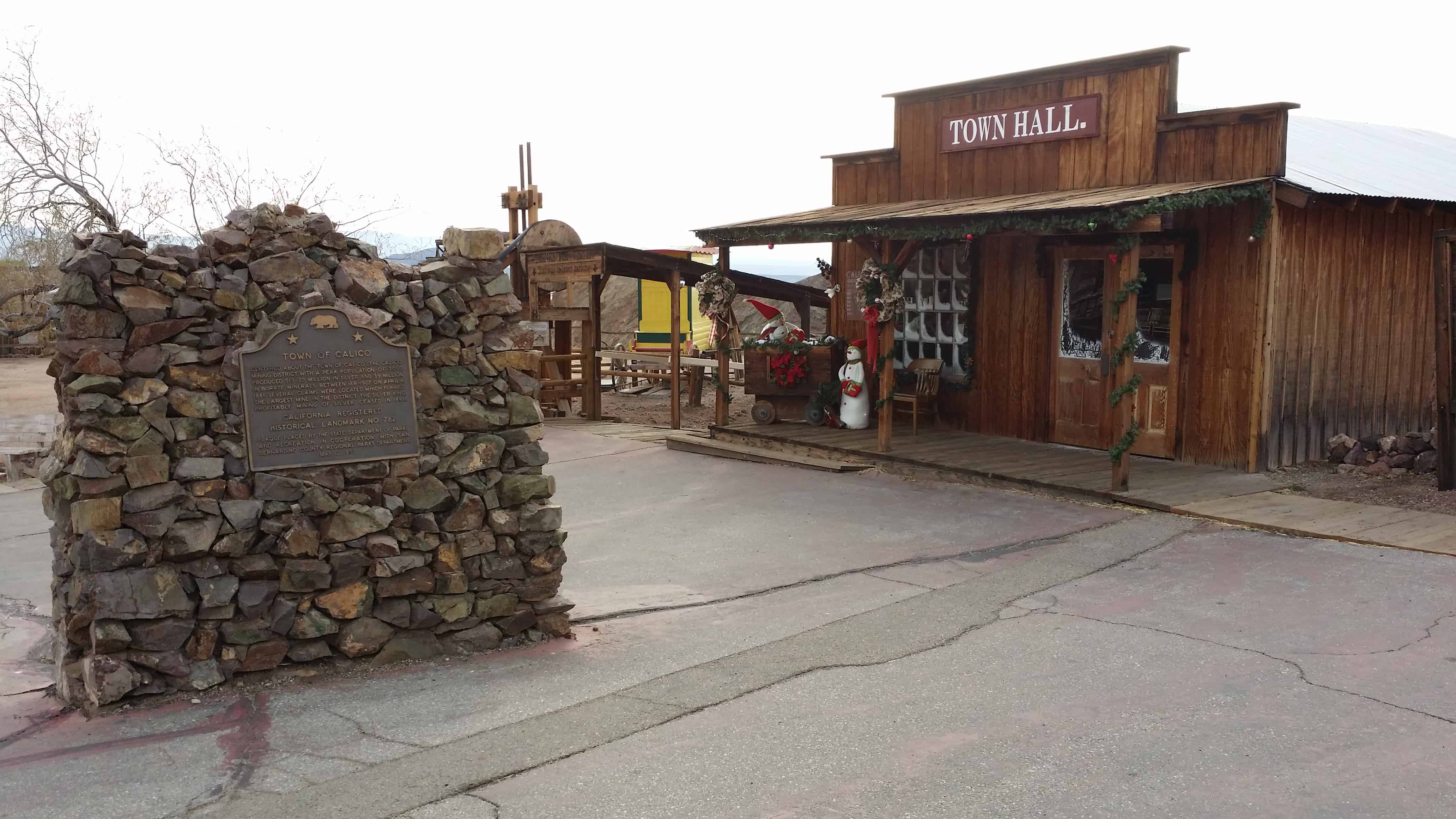
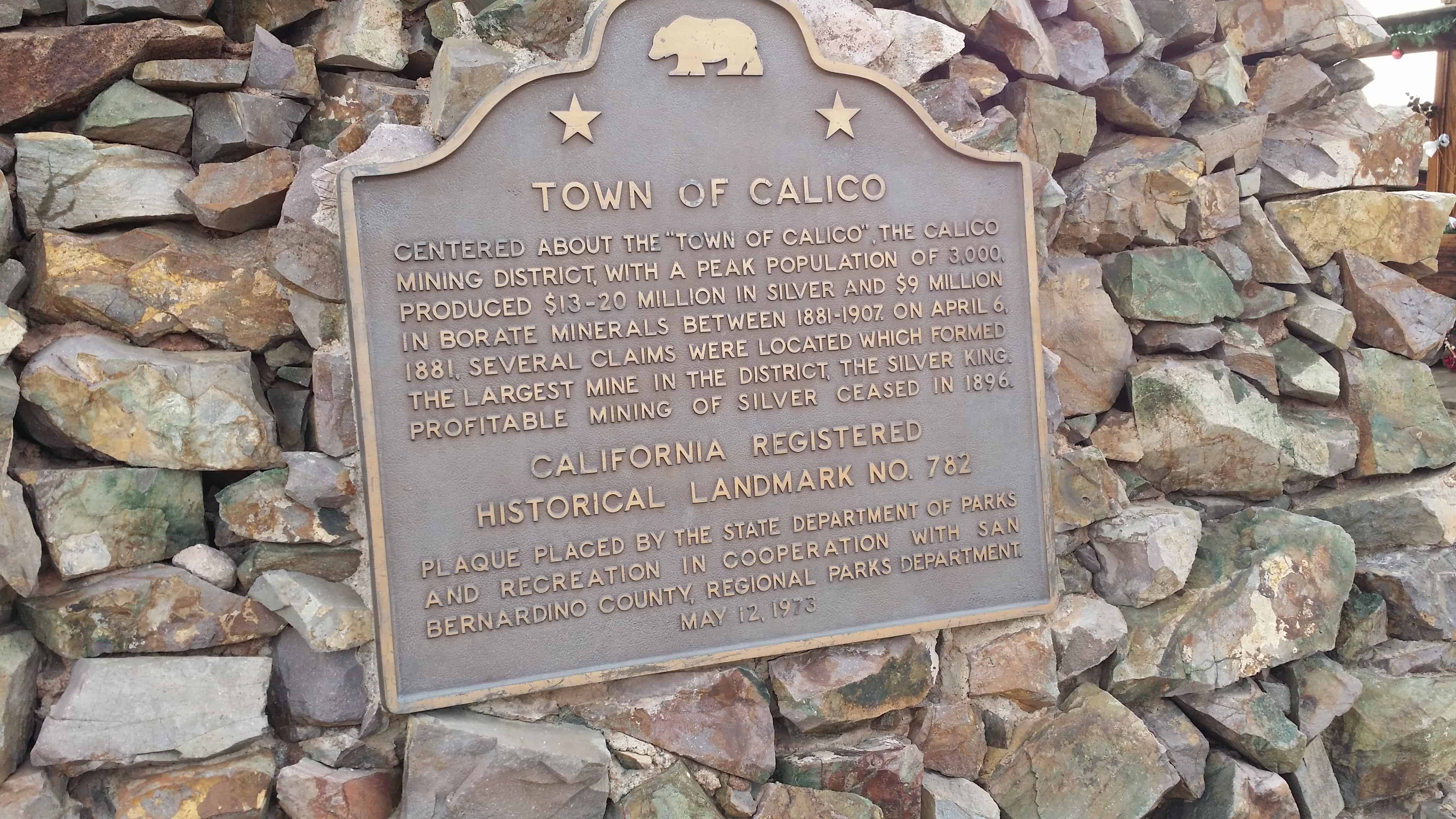
Centered about the “Town of Calico“, The Calico Mining District, which had a peak population of 3,000, produced between $13 and $20 million in silver and $9 million in borate minerals between 1881 and 1907. On April 6, 1881, several claims were located that formed the largest mine in the district, the Silver Queen. Profitable mining of silver in the area ceased in 1896.
Baker was founded as a station on the Tonopah and Tidewater Railroad in 1908, and was named after Richard C. Baker, business partner of Francis Marion Smith in building the railroad. Baker later became president of the T&T himself.
Baker was established in 1929 by Ralph Jacobus Fairbanks (1857–1942), who was an American prospector, entrepreneur and pioneer who established several towns in the Death Valley area of California, including Fairbanks Springs (1904–05) and Shoshone (1910)
It is the site of a vacant for-profit prison formerly operated by Cornell Corrections which experienced a major riot on December 2, 2003, four weeks before it was temporarily closed. It was permanently closed on December 25, 2009. GEO Group purchased Cornell Companies, its owner, on August 12, 2010.[6] It had previously experienced escapes in August and November 1995, and two on July 15, 1997.
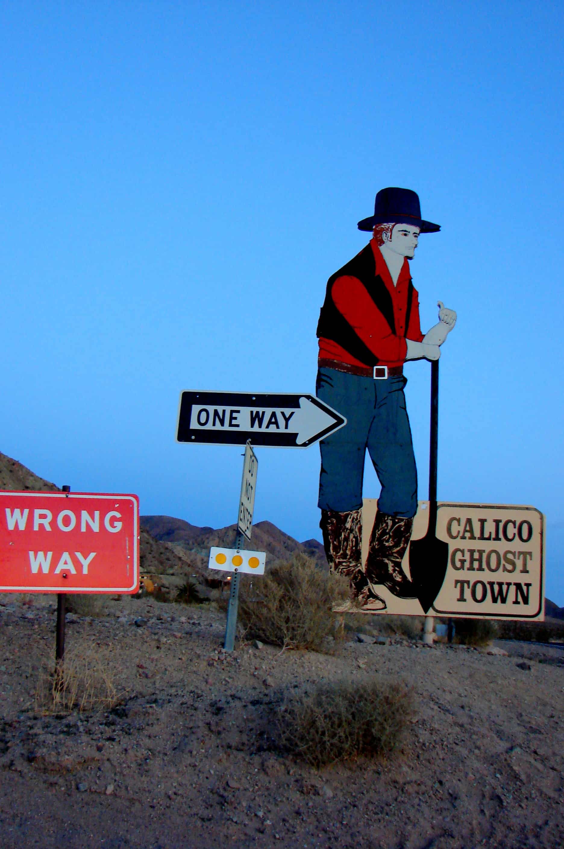
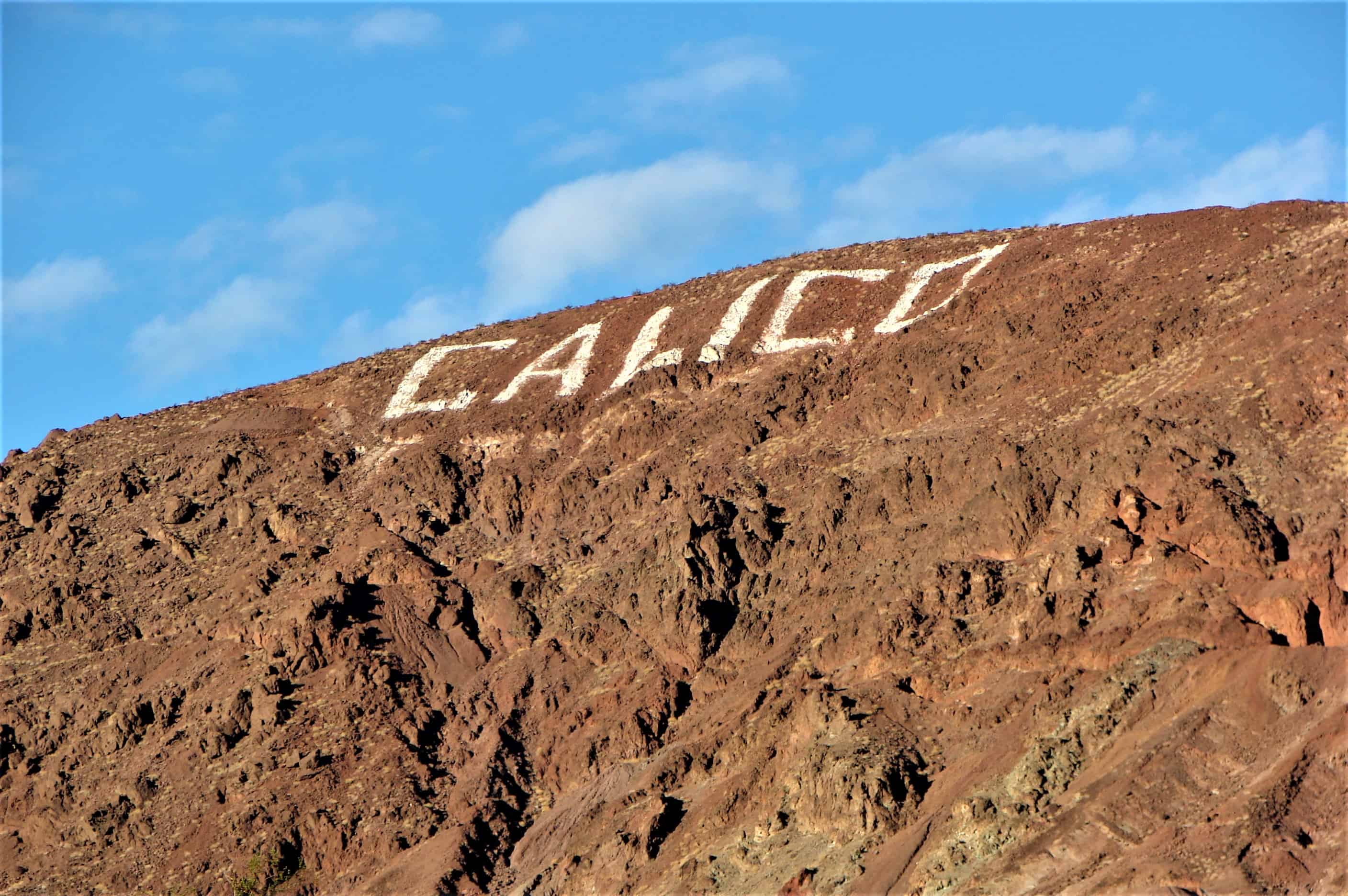
In 1881 four prospectors were leaving Grapevine Station (present day Barstow, California) for a mountain peak to the northeast. Describing the peak as “calico-colored”, the peak, the mountain range to which it belonged, and the town that followed were all called Calico. The four prospectors discovered silver in the mountain, and opened the Silver King Mine, which was California’s largest silver producer in the mid-1880s. A post office was established in early 1882, and the Calico Print, a weekly newspaper, started publishing. The town soon supported three hotels, five general stores, a meat market, bars, brothels, and three restaurants and boarding houses. The county established a school district and a voting precinct. The town also had a deputy sheriff and two constables, two lawyers and a justice of the peace, five commissioners, and two doctors. There was also a Wells Fargo office and a telephone and telegraph service. At its height of silver production during 1883 and 1885, Calico had over 500 mines and a population of 1,200 people. Local badmen were buried in the Boot Hill cemetery.
The discovery of the borate mineral colemanite in the Calico mountains a few years after the settlement of the town also helped Calico’s fortunes, and in 1890 the estimated population of the town was 3,500, with nationals of China, England, Ireland, Greece, France, and the Netherlands, as well as Americans living there. In the same year, the Silver Purchase Act was enacted, and it drove down the price of silver. By 1896, its value had decreased to $0.57 per troy ounce, and Calico’s silver mines were no longer economically viable. The post office was discontinued in 1898, and the school closed not long after. By the turn of the century, Calico was all but a ghost town, and with the end of borax mining in the region in 1907 the town was completely abandoned. Many of the original buildings were moved to Barstow, Daggett and Yermo.
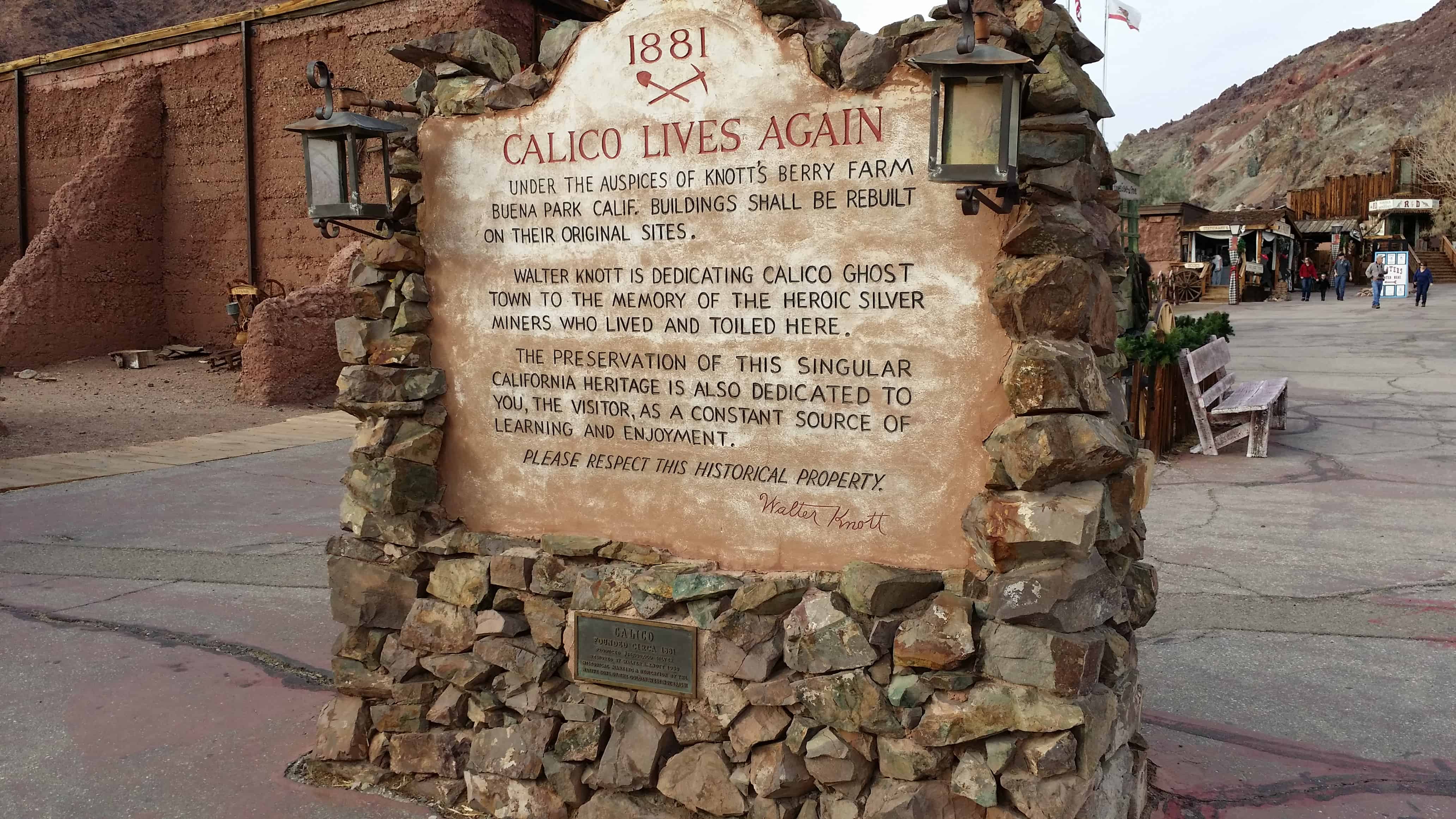
An attempt to revive the town was made in about 1915, when a cyanide plant was built to recover silver from the unprocessed Silver King Mine’s deposits. Walter Knott and his wife Cordelia, founders of Knott’s Berry Farm, were homesteaded at Newberry Springs around this time, and Knott helped build the redwood cyanide tanks for the plant. In 1951, Knott purchased the town and began restoring it to its original condition referencing old photographs. He installed a longtime employee named “Calico Fred” Noller as resident caretaker and official greeter. In 1966, Knott donated the town to San Bernardino County, and Calico became a County Regional Park.
Some 100 wagons found themselves in Salt Lake City too late to cross the Sierra Nevada. They banded together under the name of Sand Walking Co. and started for the gold fields in California over the old Spanish Trail. After being in Death Valley with the ill-fated 1849 caravan, Harry Wade found this exit route for his ox-drawn wagon, thereby saving his life and those of his wife and children. At this point the Wade party came upon the known Spanish trail to Cajon Pass.
Originally registered October 9, 1957. Plaque provided by the descendants of Harry Wade. Dedicated by Death Valley ’49ers in cooperation with the San Bernardino County Board of Supervisors and California State Park Commission, November 8, 1967. new plaque provided and dedicated by the ancient and honorable order of E Clampus Vitus, November 13, 1999.
The Wade family was part of the Bennett-Arcan party that was guided by William Lewis Manly through Death Valley late in 1849. The memoirs of Manly (available for free at Project Gutenberg: http://www.gutenberg.org) are fascinating reading, but he makes no mention of the Wades in them. Piecing together the story takes some time and patience, especially as there were several “ill-fated” caravans that trekked through Death Valley in 1849.
The well-graded dirt road that runs west from the marker follows the approximate route that the Wades took out of Death Valley; it joins the paved N-S road through Death Valley National Park near Shoreline Butte.
Two interesting bits of information: first, while the marker was dedicated on the date cited, below, it was registered by the COHP on 9 October, 1957; second, in 1994, Death Valley National Monument became a National Park, and was increased in size by about a third. The new southern boundary runs along the north side of the dirt road.
In March 1851 Charles C. Rich and Amasa N. Lyman, Apostles of the Church of Jesus Christ of Latter Day Saints, Left Utah with 437 people to establish a stronghold for the gathering of saints in California. Jefferson Hunt, David Seeley and Andrew Lytle were captains of organized companies. They purchased the Rancho ‘De San Bernardino, selected a site for settlement, built a fort enclosing 100 homes and erected an adobe building for church and school. 1300 acres of grain were planted, grist and saw mills erected and roads made into nearby canyons. Local government was established and the population doubled. Before the call back to Utah by President Brigham Young in 1857, pioneers from Yerba Buena , England and the pacific had joined the settlement.
This is Daughters of Utah Pioneers historic marker #302 located at 303 North Arrowhead Avenue in San Bernadino, California.