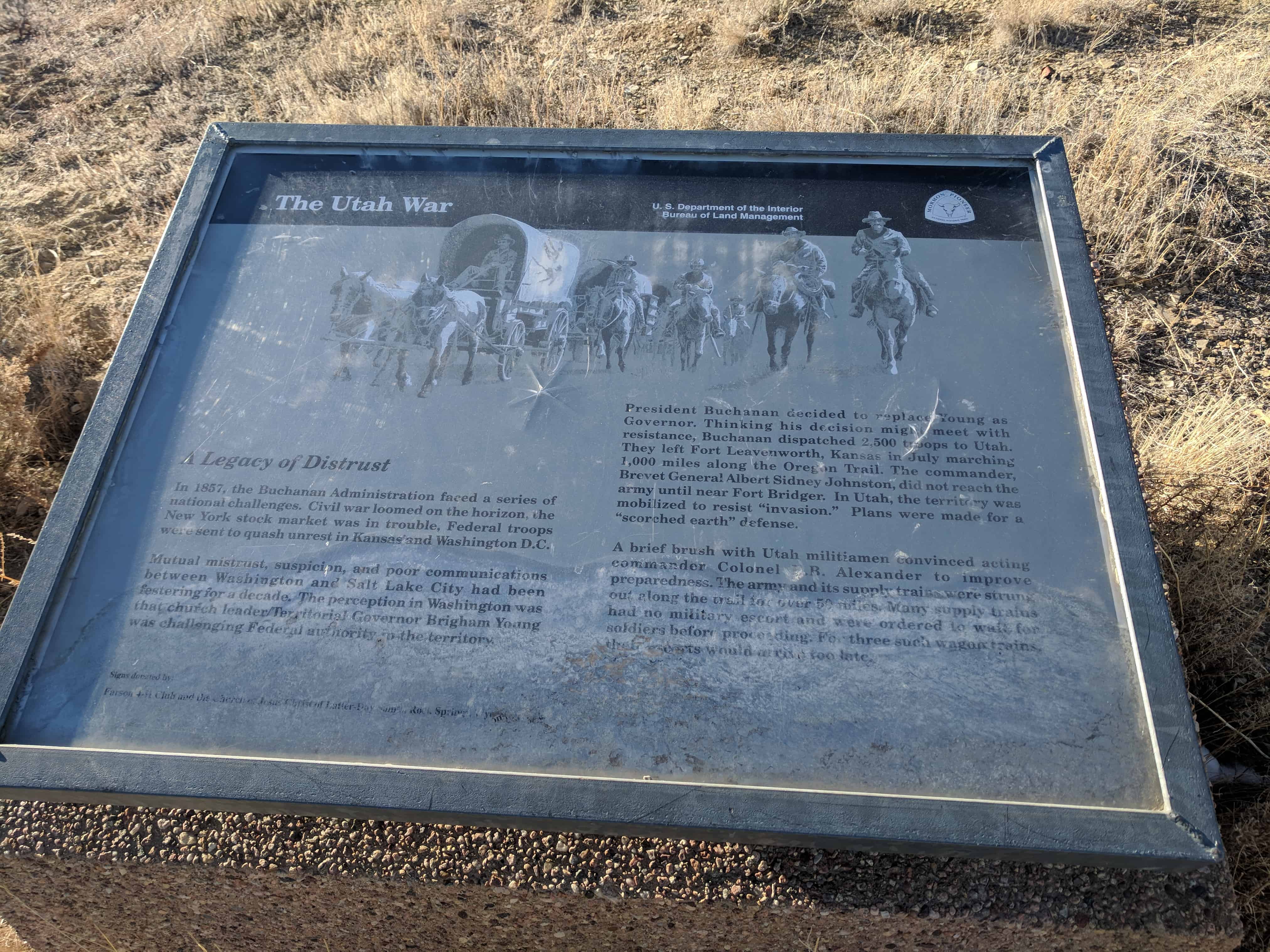
Brigham Young sent the Utah Militia, also known as the Nauvoo Legion, to harass the Federal troops and delay their approach. In the early hours of October 4th, Major Lot Smith of the Utah Militia and 40 men captured and burned two supply trains, totaling 52 wagons, west of here near the Green River.
The next day Smith and his men struck again near where you are now standing. Militiaman Newton Tuttle, wrote in his journal:
“Mond 5 We went on to the Sandy got breakfast then we went up to the road & found 24 waggons we burnt 22 of them & took 7 mules and 2 saddles we then went off from the road …”.
Wagonmaster Lewis Simpson led the supply train and ever since the wagon burning episode this little valley has been called Simpson’s Hollow.
Wagon train owners Russell, Majors, and Waddell valued the damage at more than $85,000. The only casualty of both wagon incidents was when one of Lot Smith’s men who was wounded by Smith when his pistol discharged accidentally.
The loss of three months rations and livestock, as well as an early, bitter winter stalled the army at Fort Bridger. The severe weather kept the militia and the army apart. During this lull in action, intermediary Thomas Kane negotiated a peaceful settlement of the conflict. In the spring of 1858, the army peacefully entered Salt Lake City and Alfred Cumming was installed as Utah Territorial Governor.
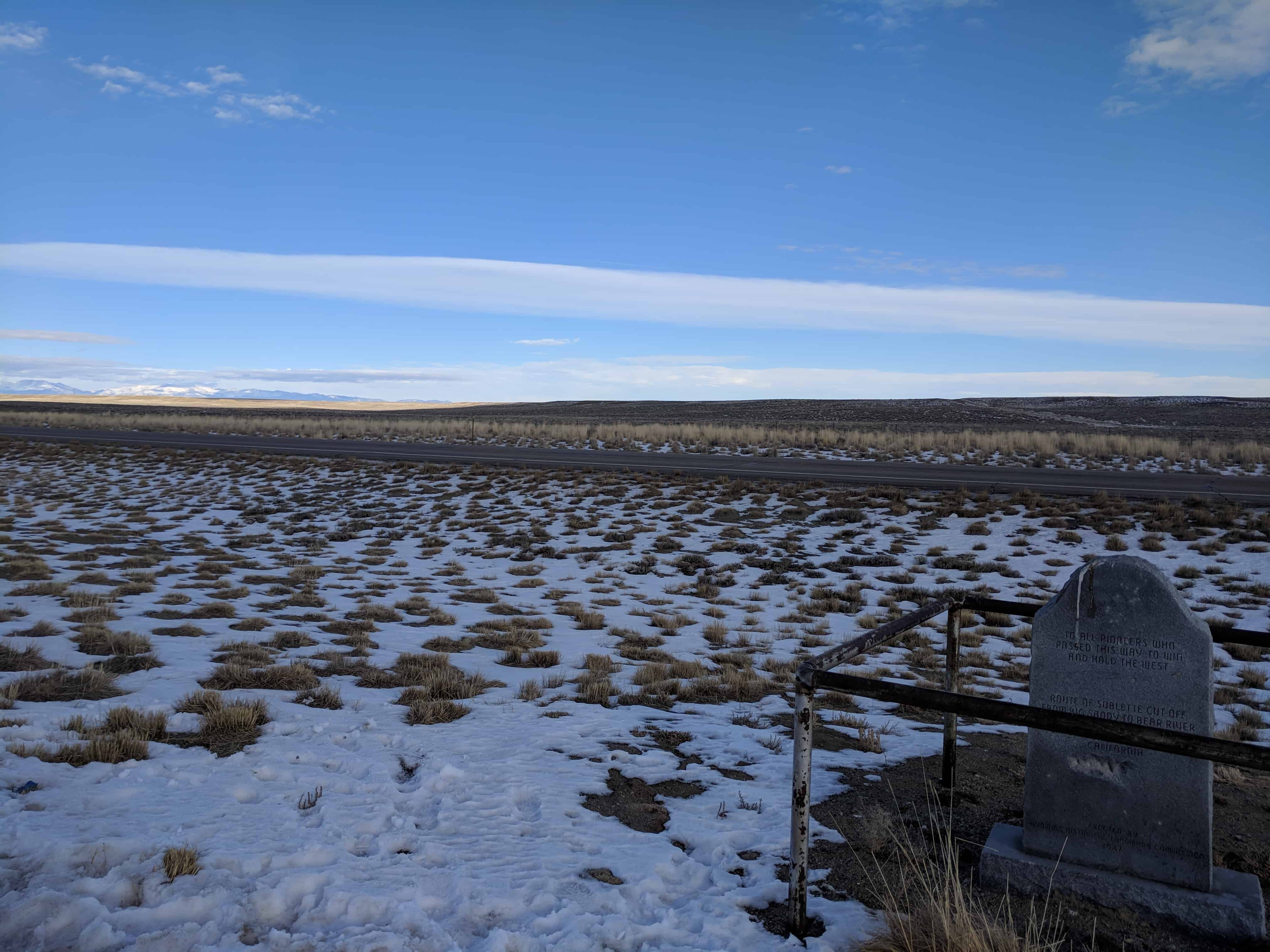
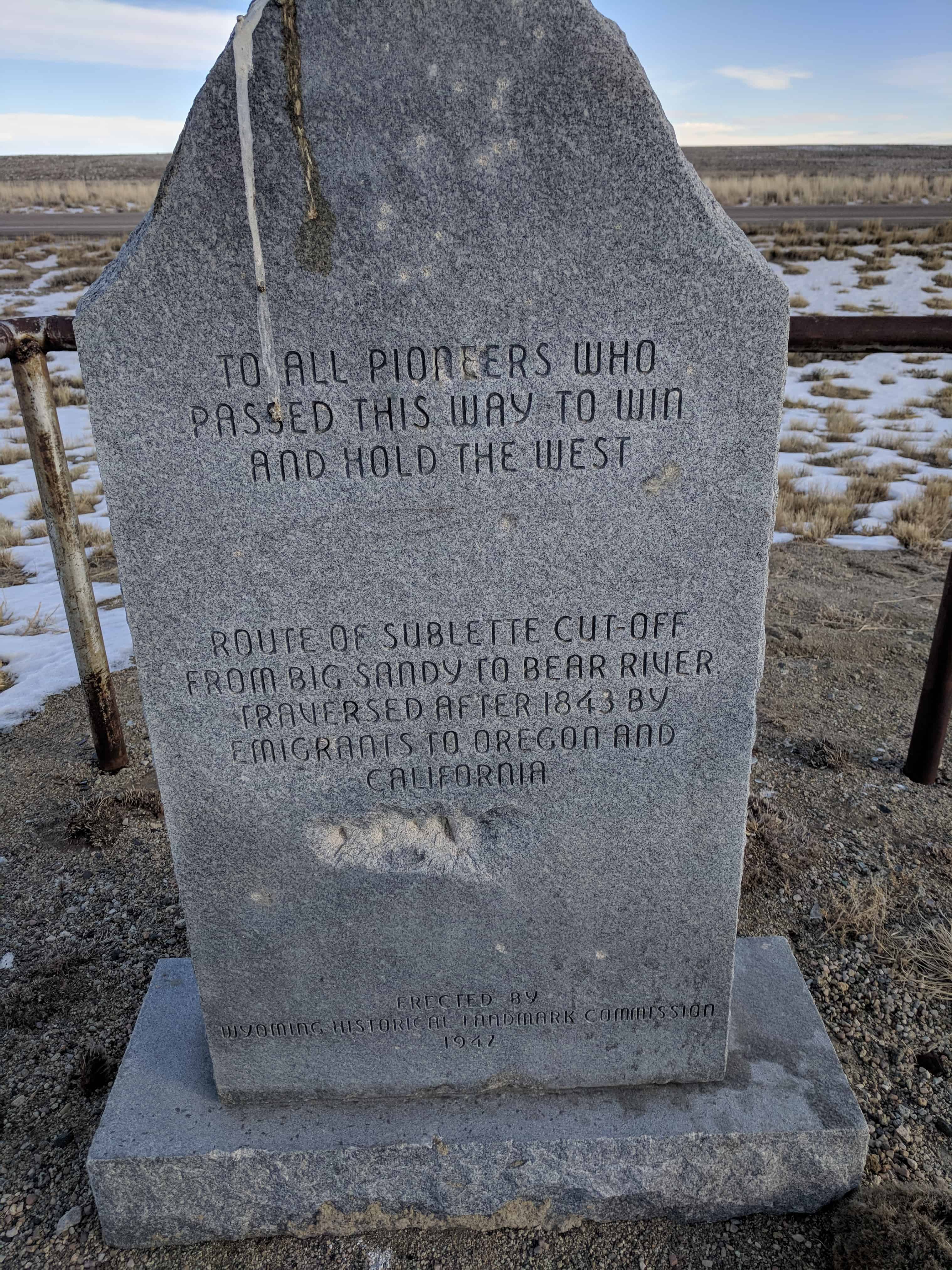
There are four historic markers here: