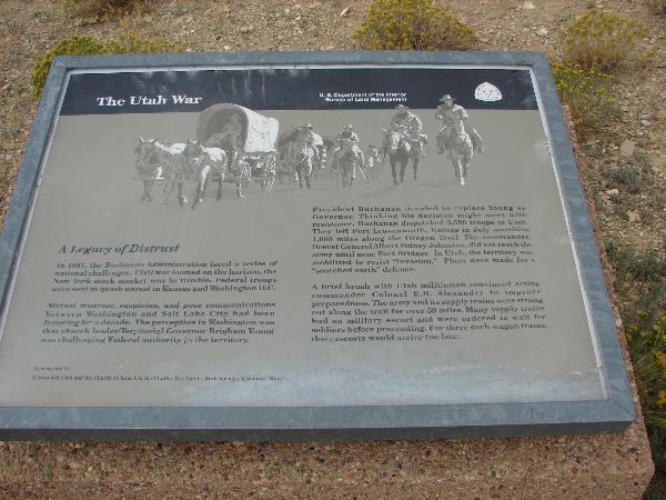
Here on Oct. 6 1857 U.S. Army Supply wagons led by a capt. Simpson were burned by a Major Lot Smith and 43 Utah Militia Men. They were under orders from Brigham Young, Utah Territorial Governor, to delay the army’s advance on Utah. This delay of the army helped affect a peaceful settlement of difficulties.
The day earlier a similar burning of 52 army supply wagons took place near here at Smith’s Bluff.
Names Hill, located on the west side of Highway 189 about 5 miles south of LaBarge, is a very important location, being on the west side of the Green River where thousands of people made a crossing and camped before going on to Immigrant Springs and on down into Utah. Hundreds of names had been carved in the rocks: many of them now have crumbled away. The most famous is James Bridger. To protect it a fences has been placed around it and a marker placed next to it which reads:
“He little knew that when he cut his name, or had it cut, in this stone, that it would be engraved in the annals of the West deeper than that of any other man. As one of the world’s outstanding explorers he guided emigrants, railroads and army in the expansion of the nation”
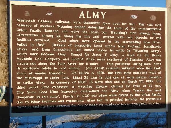
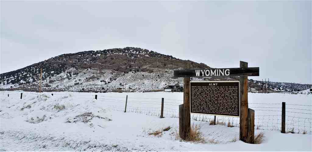
Nineteenth Century railroads were dependent upon coal for fuel. The vast coal reserves of southern Wyoming helped determine the route of the transcontinental Union Pacific Railroad and were the basis for Wyoming’s first energy boom. Communities sprang up along the line and several with coal deposits or rail facilities survived. Coal mines were opened in the surrounding Bear River Valley in 1868. Dreams of prosperity lured miners from England, Scandinavia, China, and from throughout the United States to settle in “Wyoming Camp”, which later became Almy. Named for James T. Almy, a clerk for the Rocky Mountain Coal Company and located three miles northwest of Evanston, Almy was strung out along the Bear River for 5 miles. This particular “string-town” owed its existence soley to coal mining. Her 4,000 residents suffered more than their share of mining tragedies. On March 4, 1881, the first mine explosion west of the Mississippi to claim lives, killed 38 men in just one of many serious disasters to strike Almy. In January of 1886, 13 more died and on March 20, 1895, the third worst mine explosion in Wyoming history, claimed the lives of 61 men. The state Coal Mine Inspector determined the Almy mines “among the most dangerous in the state”. Finally, in 1900 the mines were closed by the Union Pacific due to labor troubles and explosions. Almy lost its principal industry, the population dwindled and the town suffered the fate of many railroad coal towns throughout Wyoming.
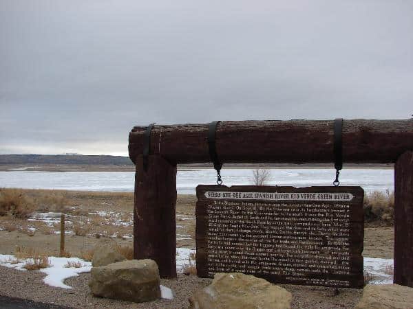
“To the Shoshone Indian, this river was the Seeds-Kee-Dee Agie (Prairie Chicken River). On Sept. 16 1811, the Astorians near it’s headwaters termed it the Spanish River. To the Spaniards, far to the south, it was the Rio Verde (Green River). Jedediah Smith and his Mountain Men, making the first westward crossing of the south Pass by white men, camped near here Mar 19, 1824 on the Seeds-Kee-Dee. They trapped the river and its forks which were named for them: LaBarge, Ham’s, Black’s, Smith’s, Henry’s, etc. These waters were considered as the greatest beaver waters ever known. The upper reaches became the center of the fur trade and the Rendezvous. In 1841 the fur trade ceased, but the trappers had blazed the trails for the emigrants. For forty-nine years over the Oregon and California trails, thousands of emigrants going west, crossed these waters nearby. The many that drowned and died were buried along the river banks. The Mountain Men guided, manned the ferries and traded with the emigrants. Graves, marked and unmarked, names cut in the rocks and wagon trails worn deep remain with the legend and lore of a great river of the West – The Green.”
What happens when glaciers move across land? Glaciers gather up rocks as they move down the mountain. The rocks act as sharp, rough, cutting tools that are held tightly in the glacier ice. These “rock tools” rip out more rocks and soil and they are added to the moving glacier. Glaciers of the Great Ice Age deeply eroded the land wherever they traveled. Glaciers today continue to form sharp peaks and jagged ridges. They are a powerful force.
Scientists used to wonder about piles of unsorted rocks and soils that appeared far from where they belonged. They also found humongous single rocks. Long ago people thought floods had moved the soil and rocks. A Swiss scientist, Louis Agassiz, determined that they were moved by glaciers. Glaciers cut valleys into the land and leave sharp mountain peaks. They also leave smooth, rolling hills. You can tell if glaciers have been there if you see deep scratches on rocks, large boulders standing alone, and round ponds left behind where the soil was dug away.
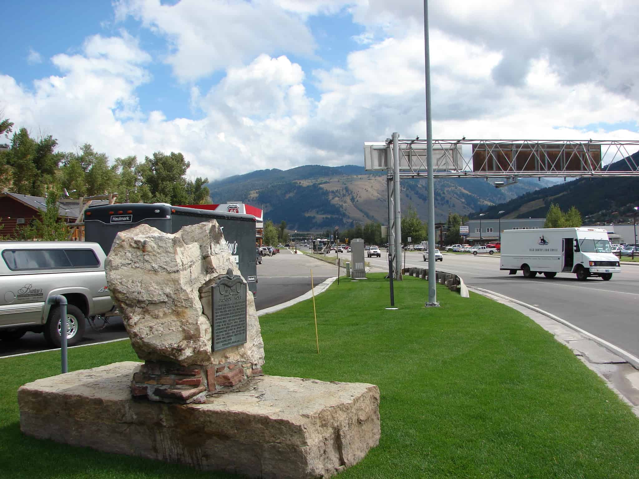
Jackson Hole was originally populated by Native American tribes including the Shoshoni, Crow, Blackfeet, Bannock, and Gros Ventre. John Colter entered Jackson Hole during the winter of 1807/1808 during the return journey of the Lewis & Clark expedition. The area became a prime area for trappers and many famous mountain men traveled through the area in the early 1800s. These mountain men are responsible for many of the names in the valley including Bridger, Jedediah Smith, and Sublette. David Jackson gave his name to the valley after a winter spent on the shores of Jackson Lake.
As part of the Hayden Expedition of 1871 and 1872, William Henry Jackson took the first photographs of the Teton Mountains and Yellowstone. His photographs, along with the sketches by Tom Moran, were important evidence to convince Congress to protect Yellowstone National Park. Yellowstone National Park became the first National Park in 1872. Grand Teton National Park was created in 1929 and greatly expanded in 1950 through the generous efforts of John D. Rockefeller, Jr., who purchased and then donated over 30,000 acres.
The Town of Jackson was named in 1894. Some of the early buildings remain and can be found throughout the area of the Town Square. The Town of Jackson elected the first all-woman city government (including town council and mayor, who in turn appointed women to town marshall, town clerk and treasurer) in 1920.
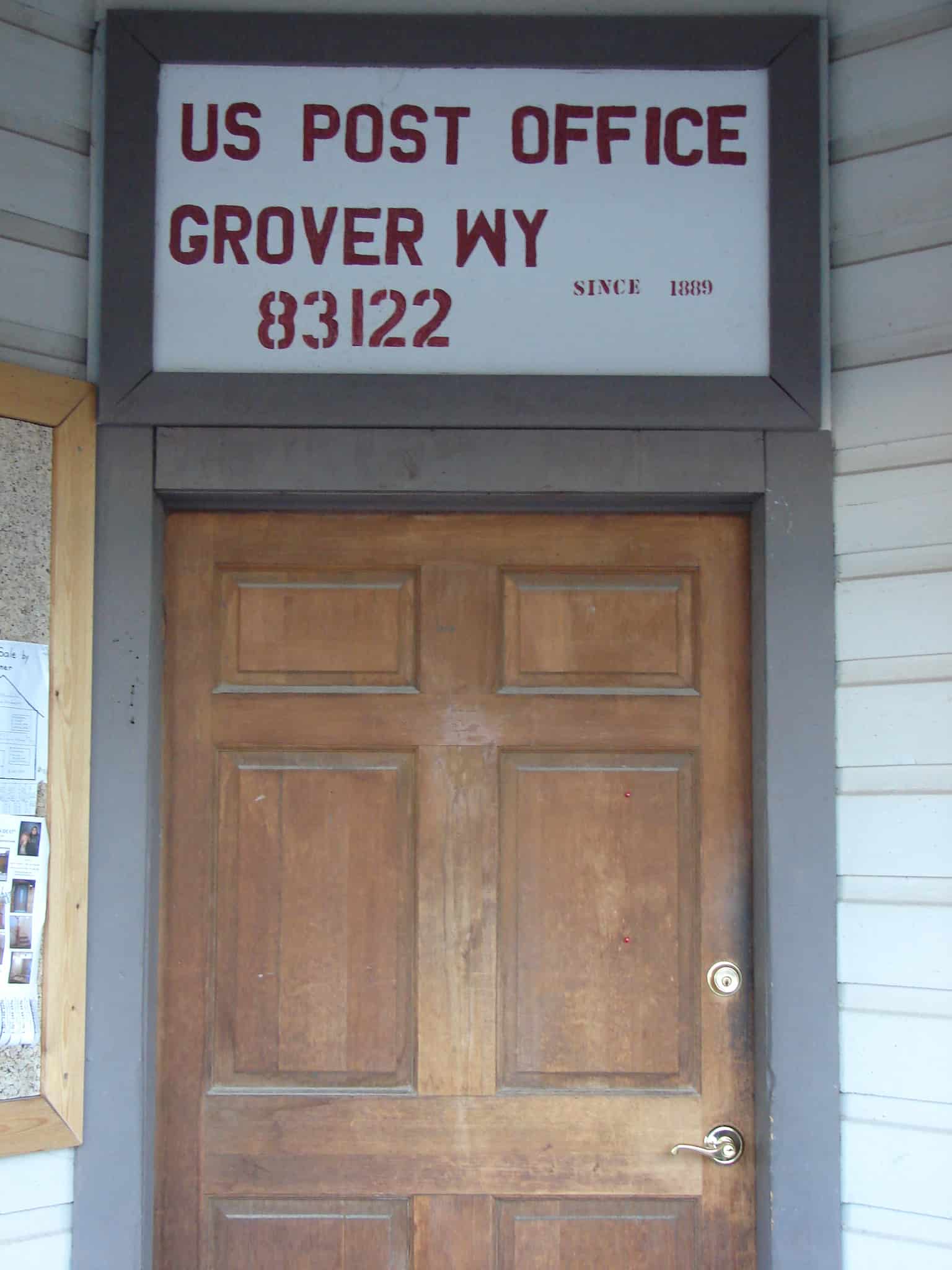
Thayne, formerly called Glencoe, was founded in 1888, at which time mail was brought into Star Valley by Team and Wagon and distributed to the people from a log cabin owned by Joseph Thayne. The building was one room, 12 x 15 feet with a dirt roof. Three years later it was moved to the center of town and Henry Thayne and his wife occupied it. This log cabin, located one and one half rods west of this site, became the first post office May 8, 1891 with Laura Thayne Post Mistress.