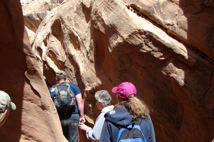
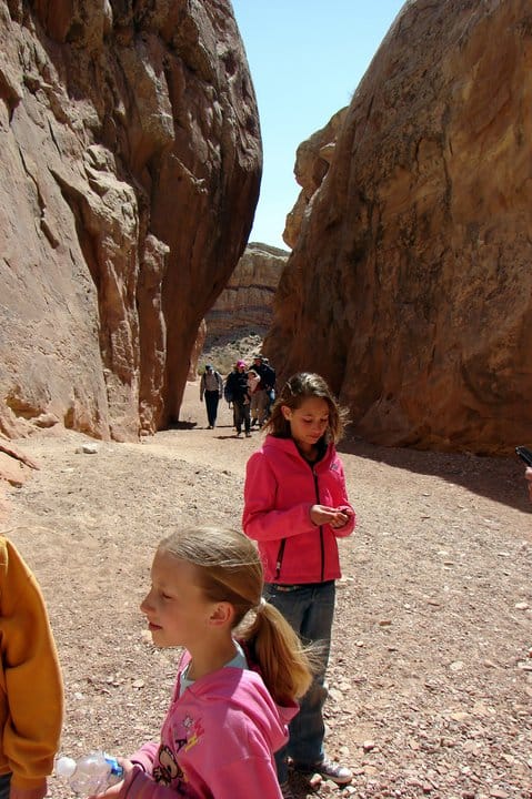
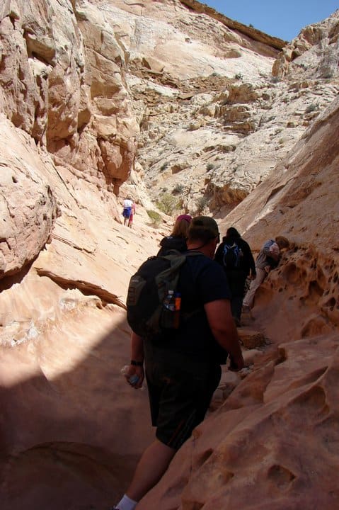
Little Wild Horse Canyon
23 Thursday Apr 2015
Posted in Uncategorized

23 Thursday Apr 2015
Posted in Uncategorized
23 Thursday Apr 2015
Posted in Uncategorized

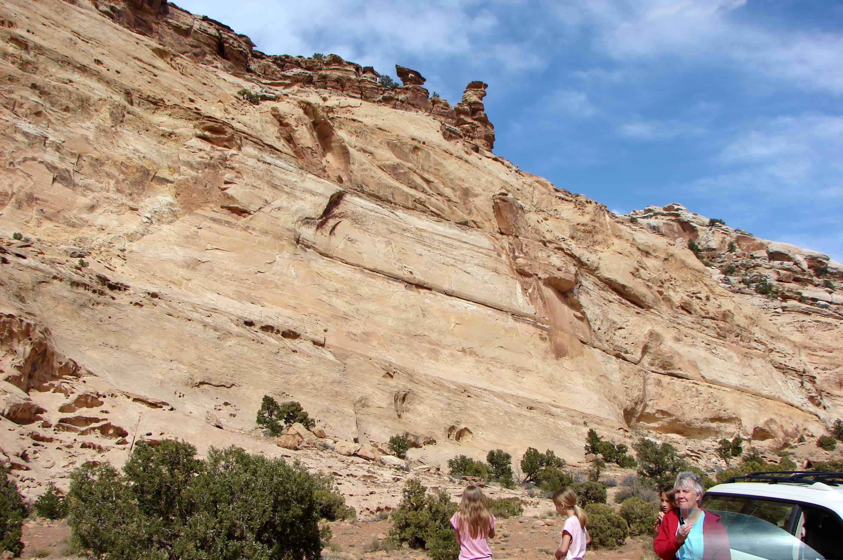
I love this little stone house on Temple Mountain Road, the view to the north of Temple Mountain is awesome. Located at the Temple Mountain Townsite.
Nearby:


21 Friday Nov 2014
Posted in Uncategorized
31 Thursday Oct 2013
Posted in Uncategorized
Tags
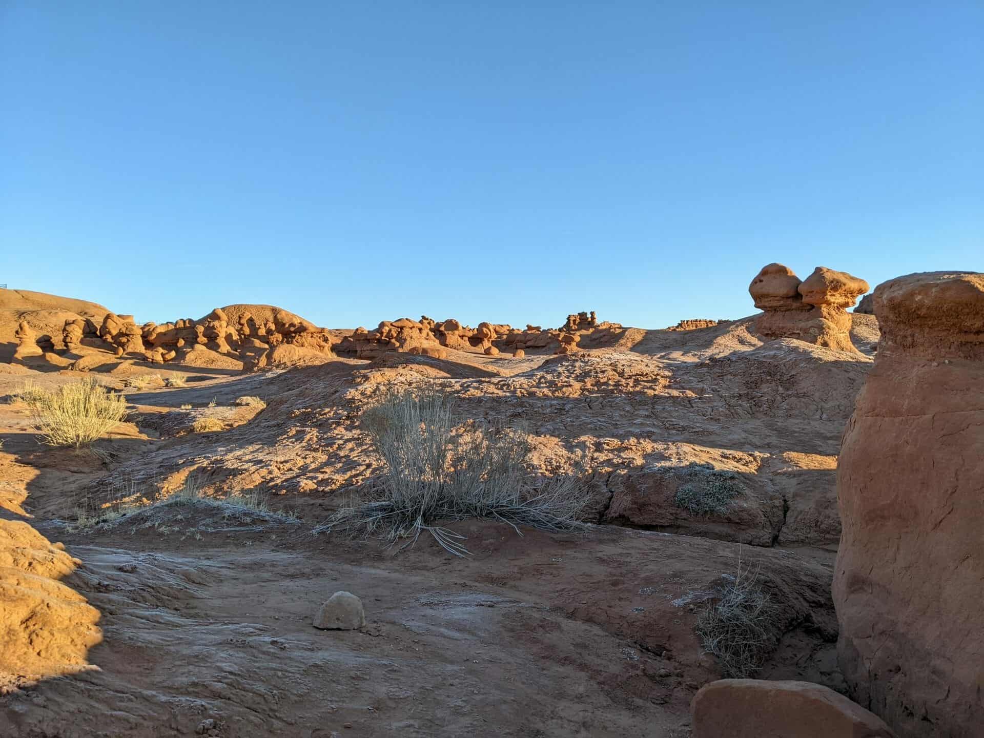
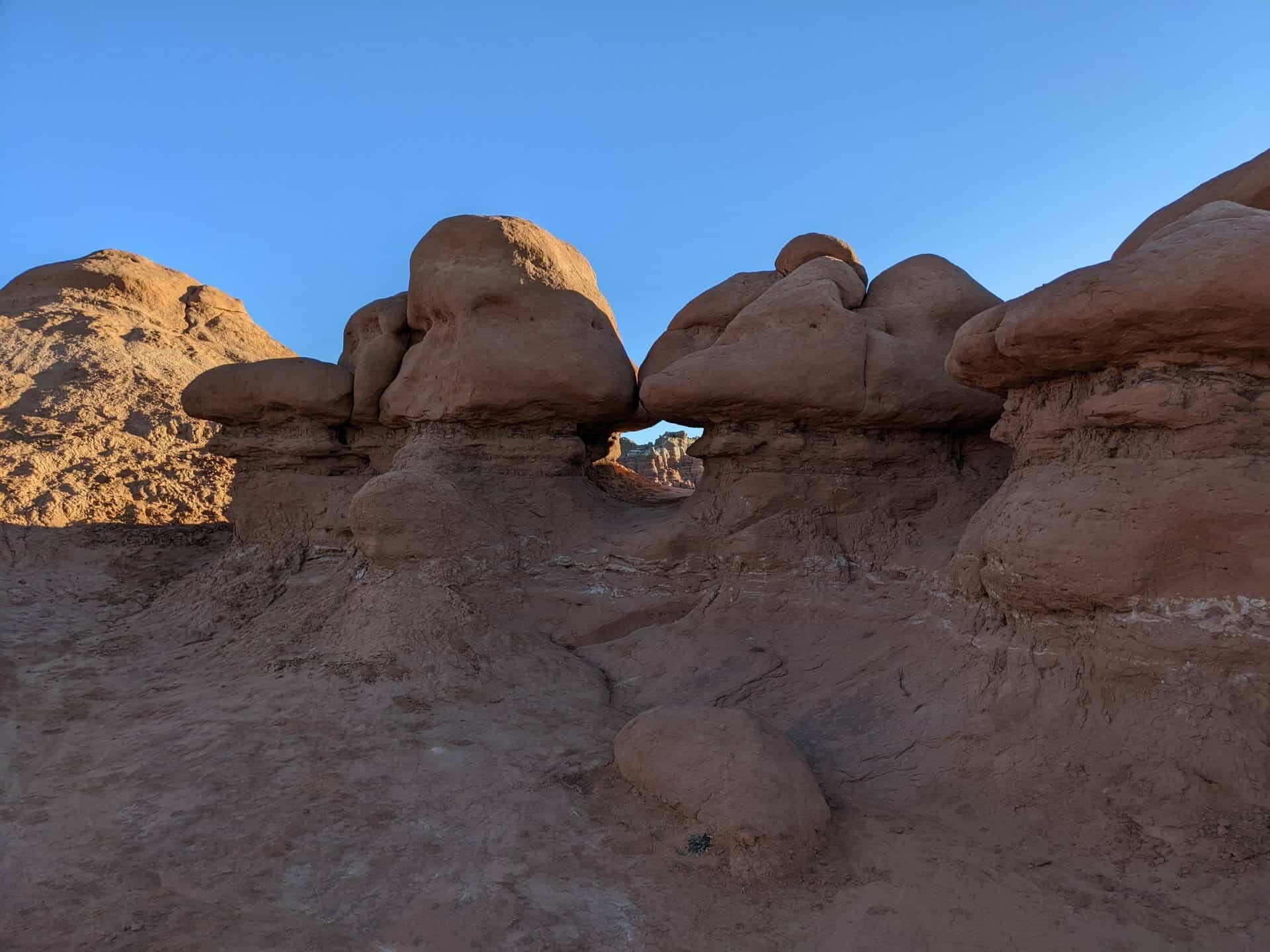
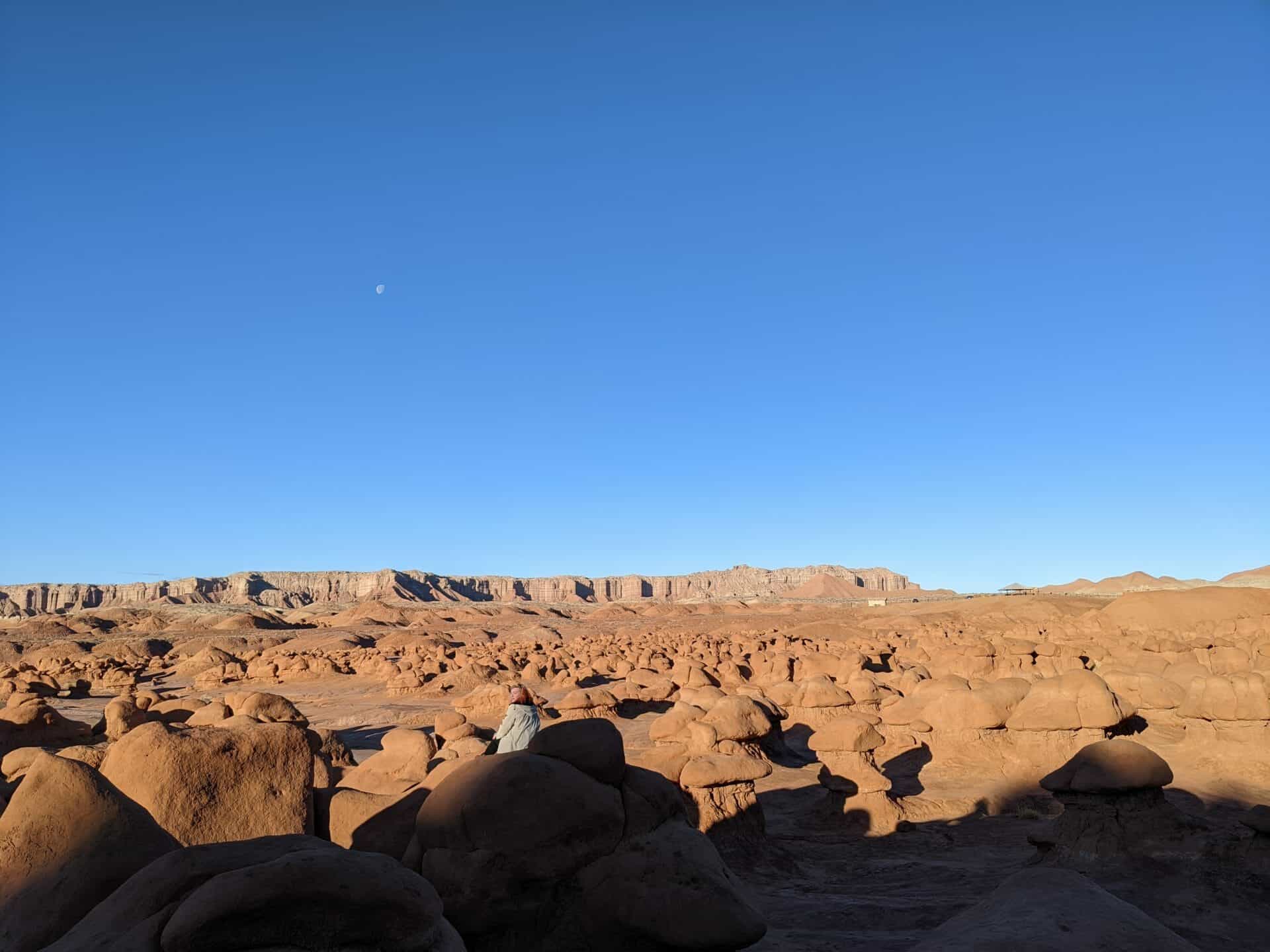
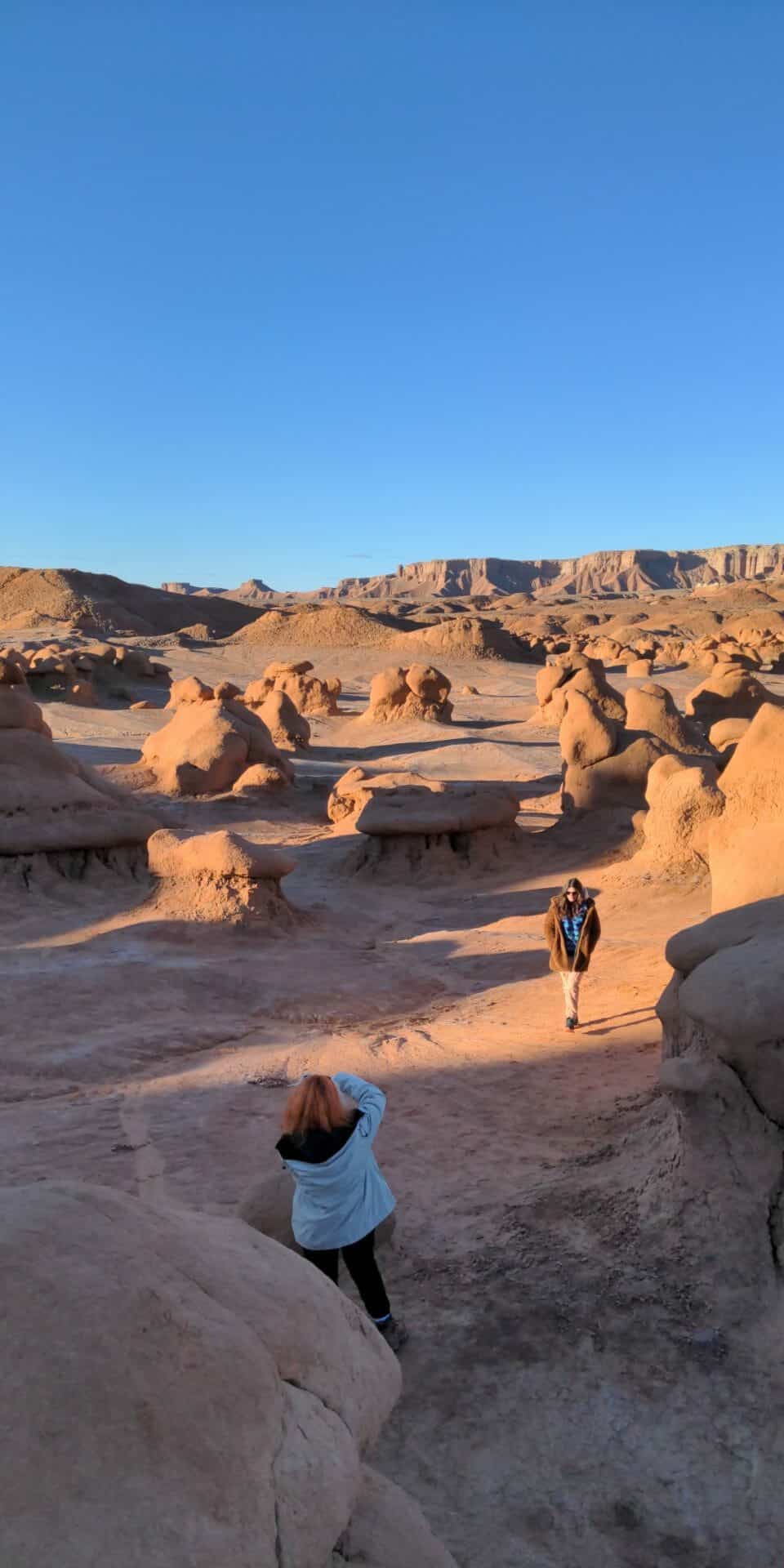
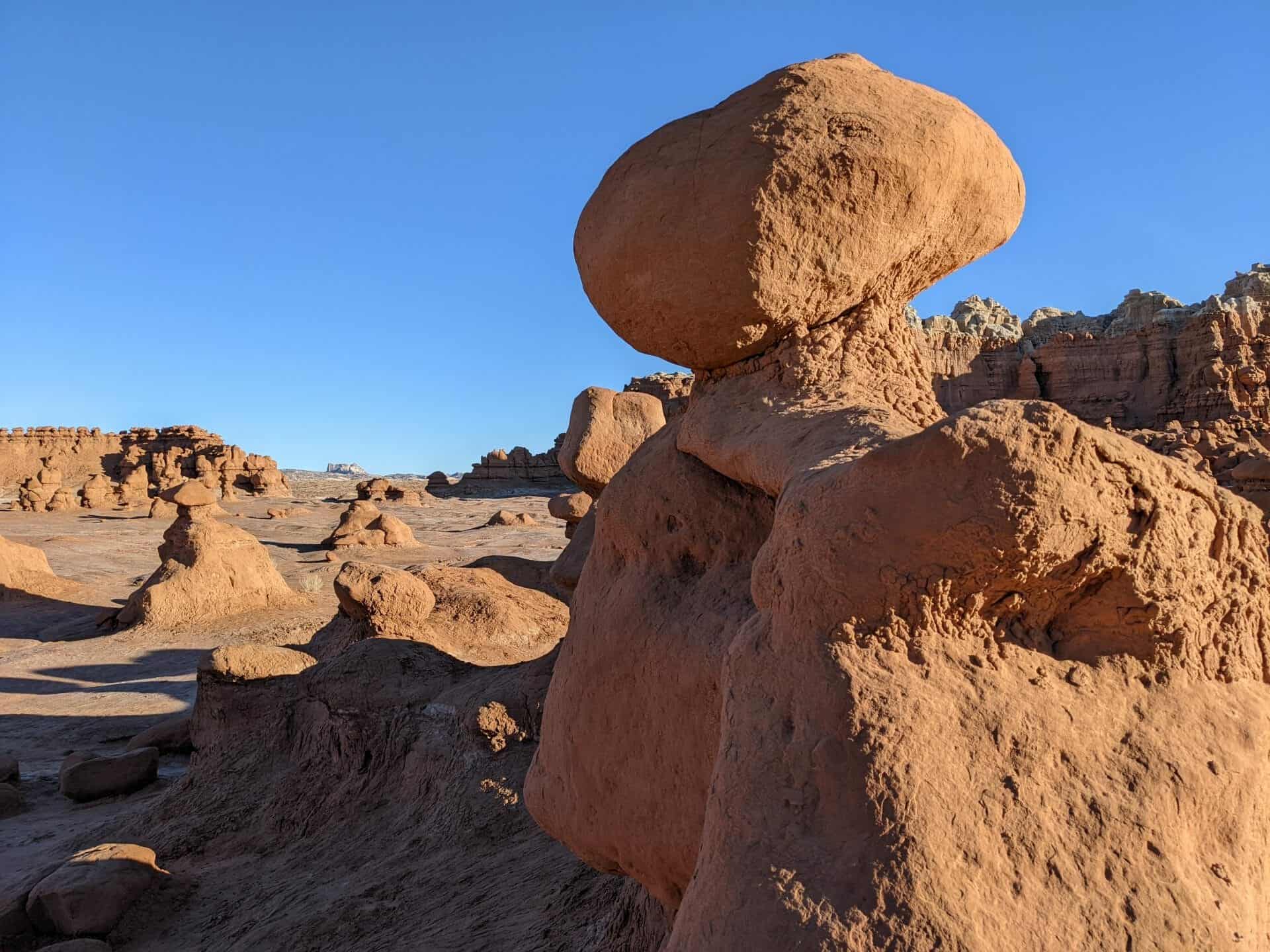
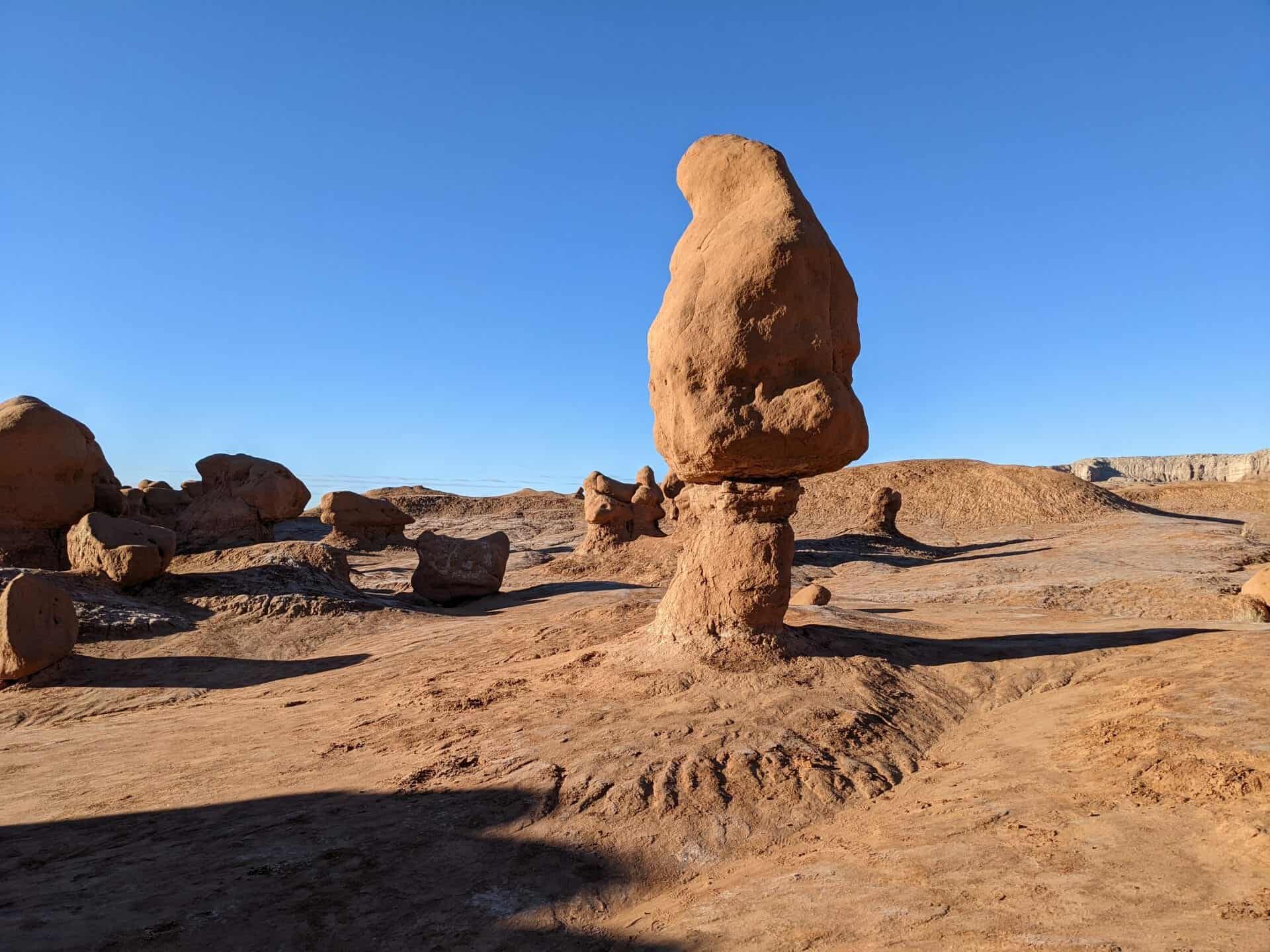
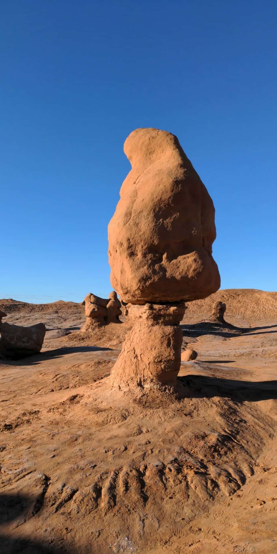
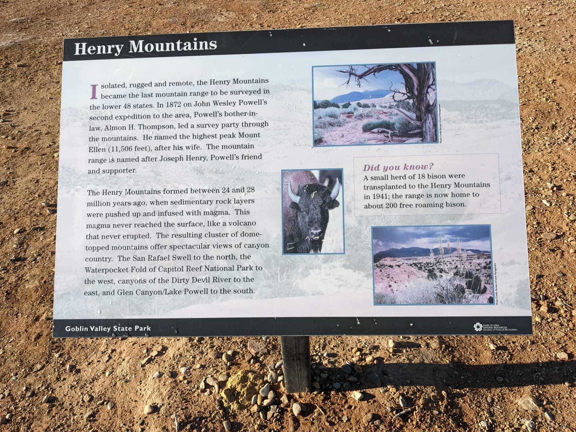
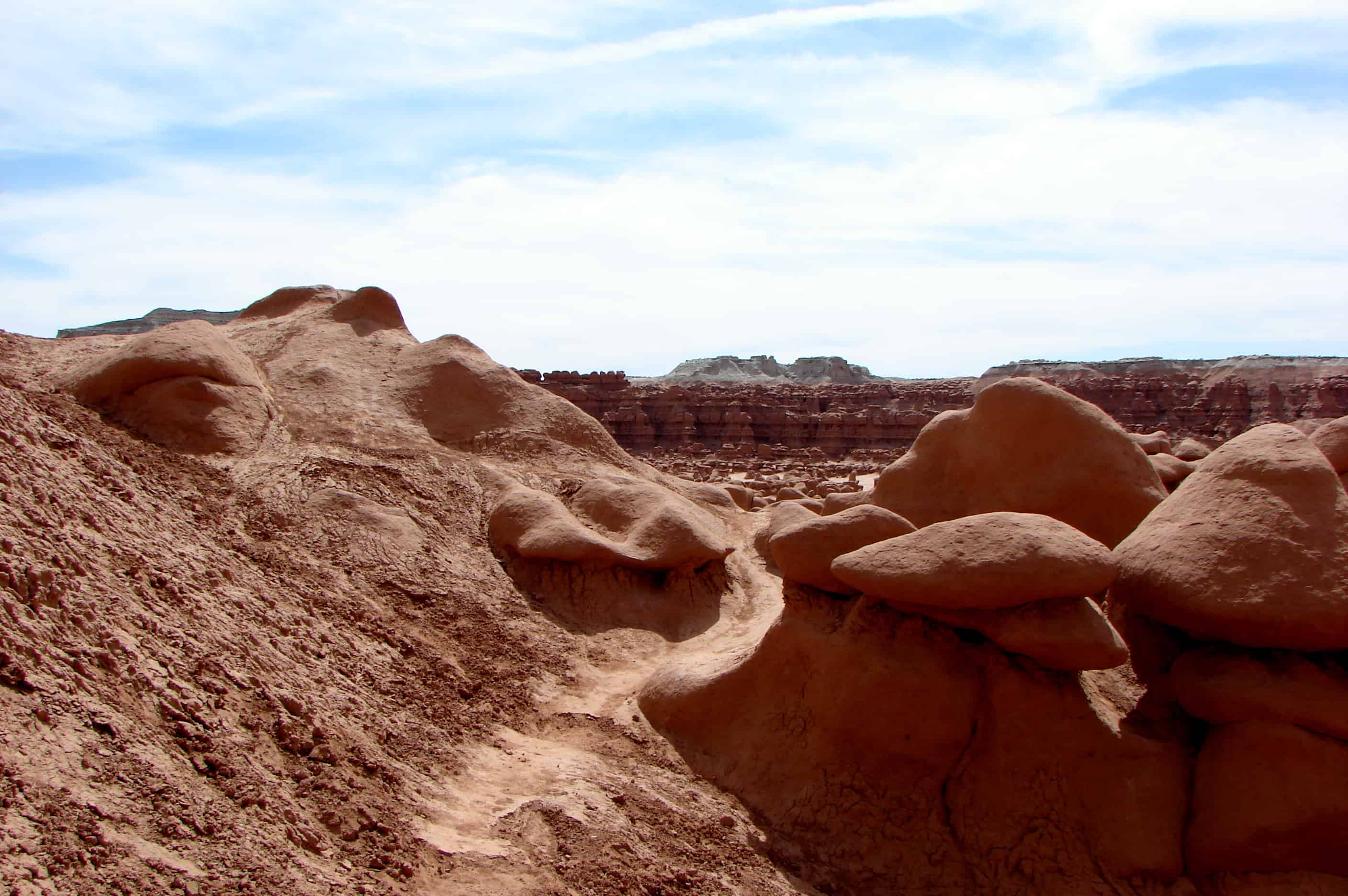
Emery County, Geology, Goblin Valley, Hanksville, San Rafael Swell, State Parks, utah, Utah State Parks

Related: