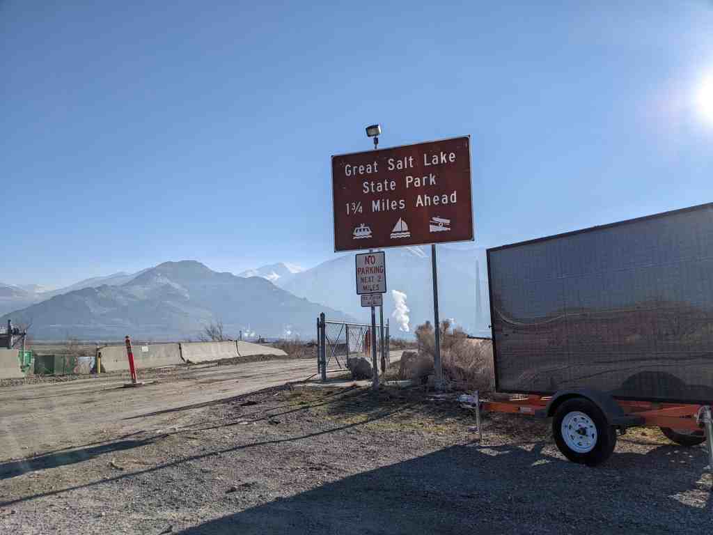
Great Salt Lake State Park
01 Thursday Feb 2024
Posted in Uncategorized

01 Thursday Feb 2024
Posted in Uncategorized
21 Saturday Jan 2017
Posted in Uncategorized
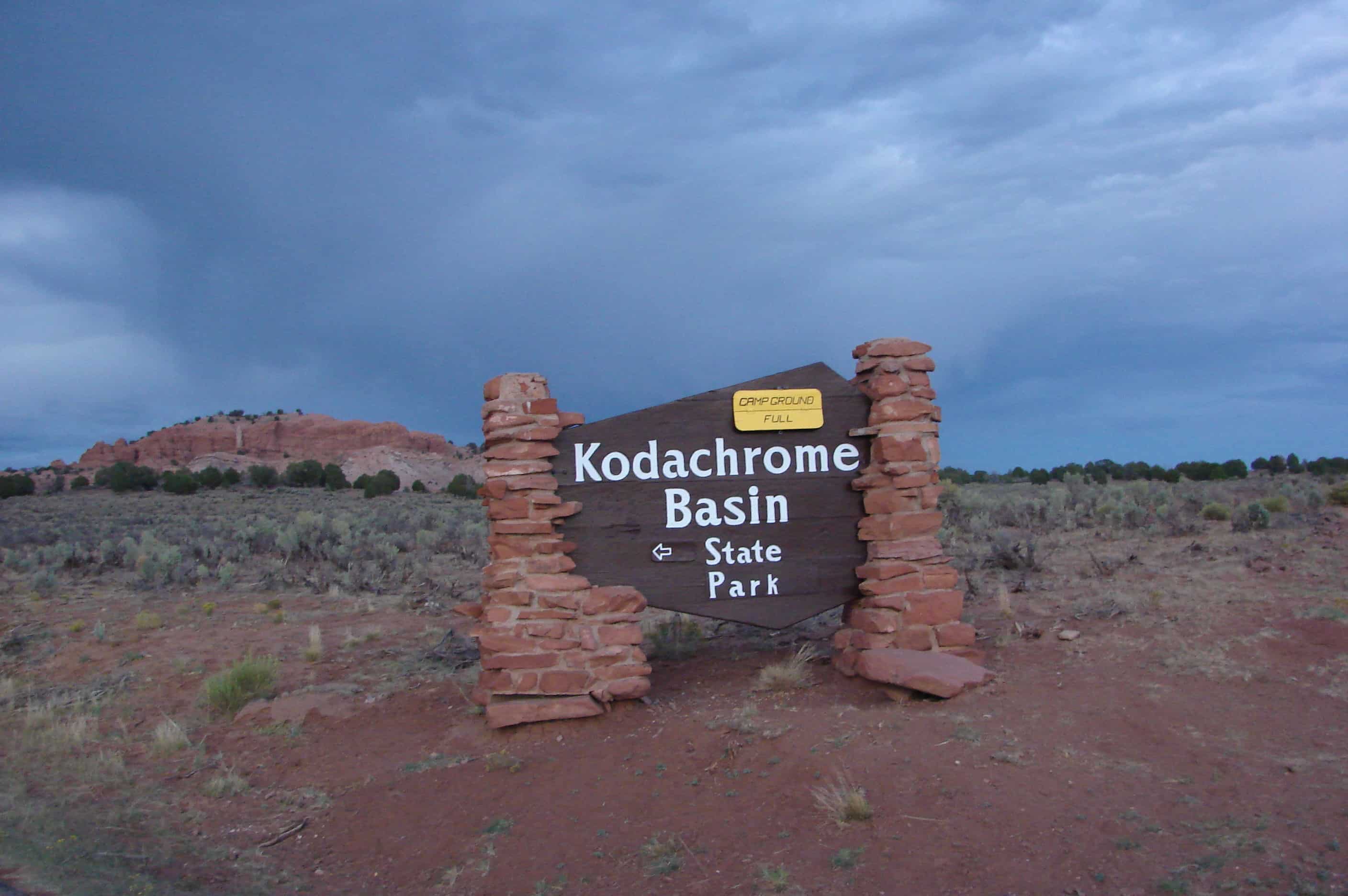
Evidence near the park suggests that Native Americans were the first to wander through the area. Around the turn of the 20th century, cattlemen from Cannonville and Henrieville used the basin as a winter pasture. In 1948 the National Geographic Society explored and photographed the area for a story that appeared in the September 1949 issue of National Geographic. They named the area Kodachrome Flat, after the then relatively new brand of Kodak film they used. In 1962 the area was designated a state park. Fearing repercussions from the Kodak film company for using the name Kodachrome, the name was changed to Chimney Rock State Park, but renamed Kodachrome Basin a few years later with Kodak’s permission.
For other State Parks in Utah visit this page.
31 Thursday Oct 2013
Posted in Uncategorized
Tags
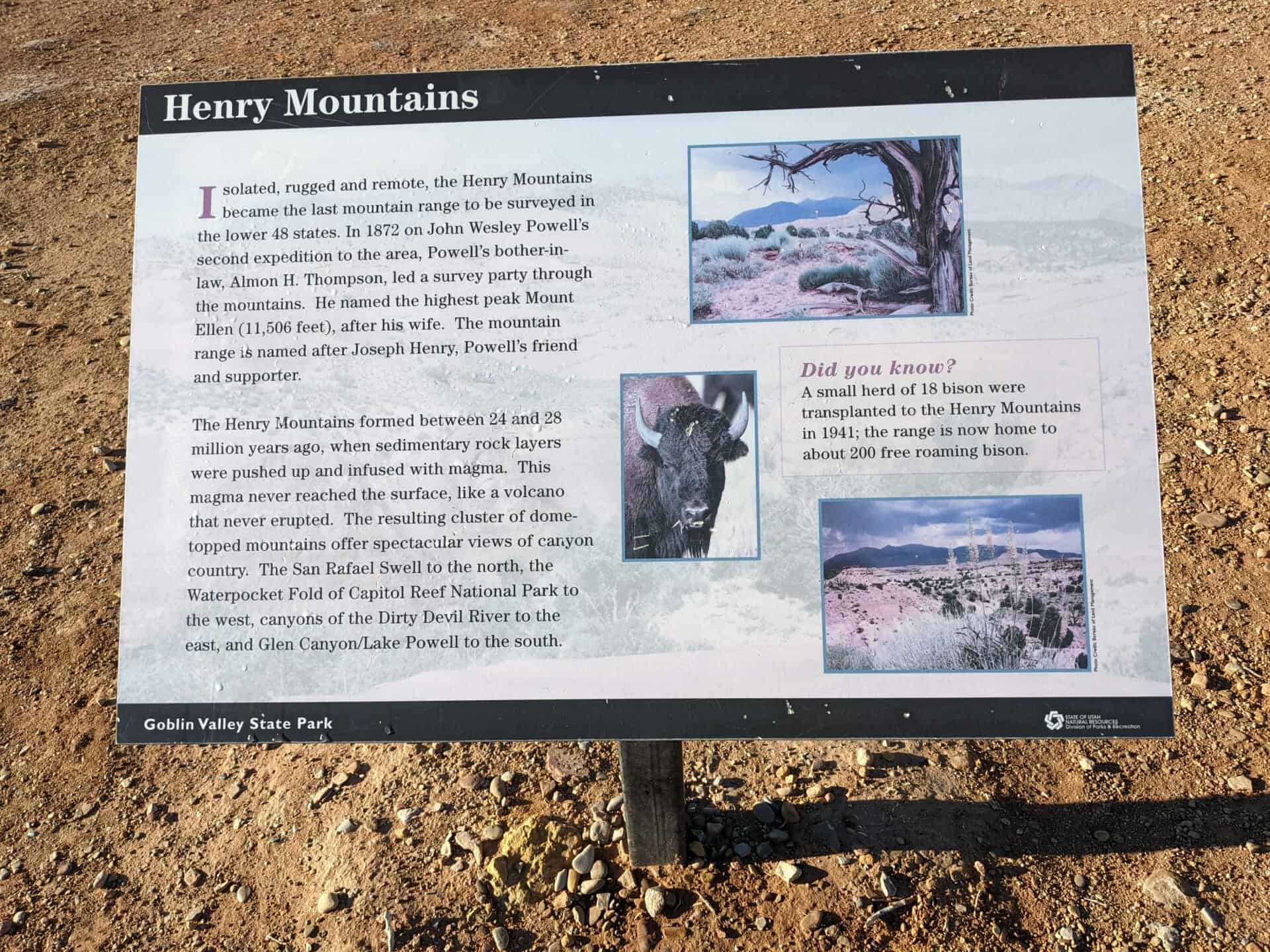
Emery County, Geology, Goblin Valley, Hanksville, San Rafael Swell, State Parks, utah, Utah State Parks

Related: