All of the solid fir timber beams used in Hoppers were cut from trestle pilings used to support the Southern Pacific Railroad trestle in the Great Salt Lake.
The wooden trestle known as “The Lucin Cutoff” used in 1902 provided a means for the train to cross the lake in a shorter time. The twelve mile trestle was replaced 100 years later by a solid fill causeway.
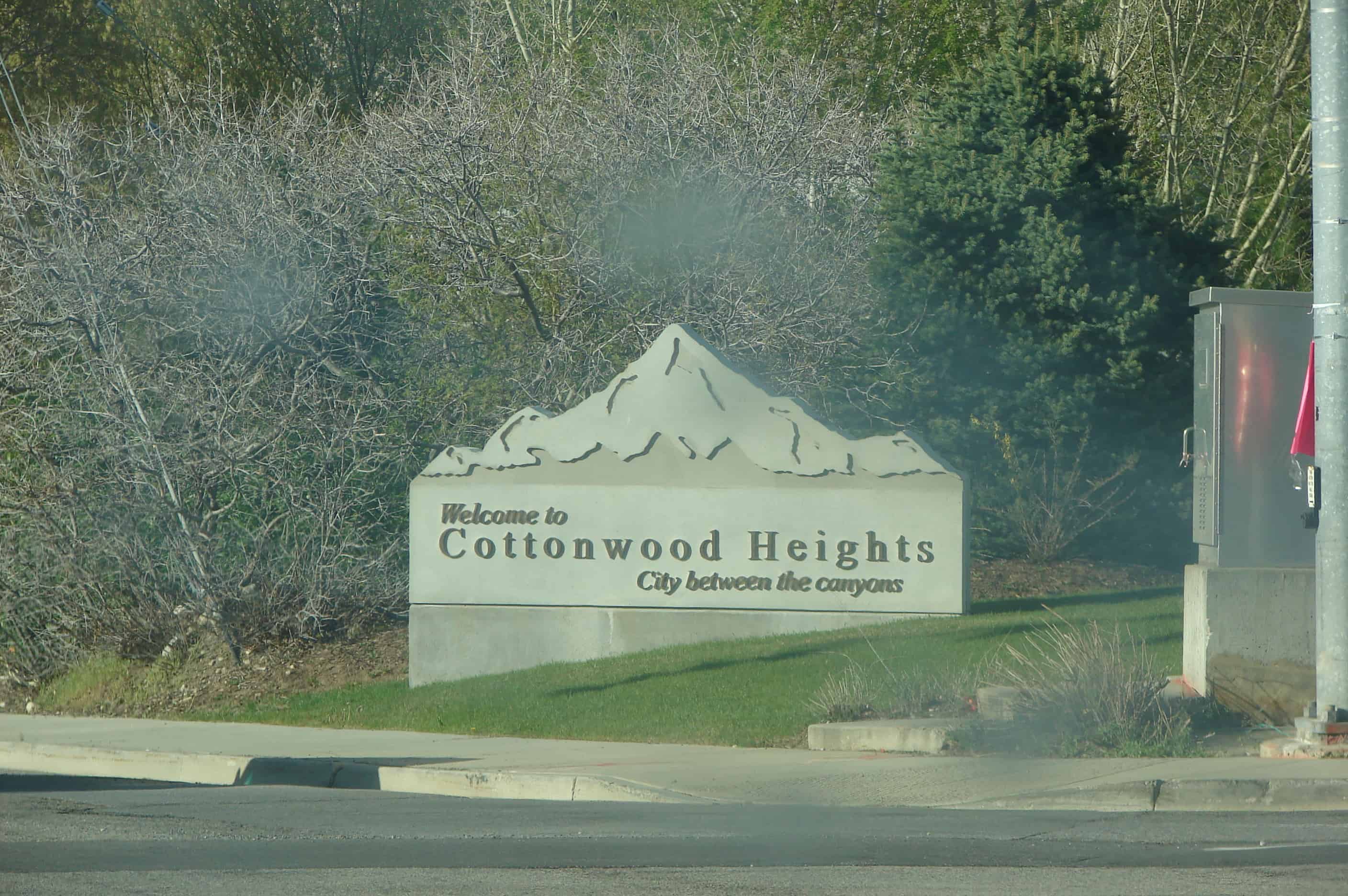
The first use of the Cottonwood Heights name occurred in 1937 when J.D. Fife, Sr., a Butlerville resident, so named his proposed subdivision. The name was officially adopted in 1953 by the newly organized Cottonwood Heights Community Council.
Just north of 7200 South street, on the west side of State Street, stood Travelers’ Rest, or Traders’ Rest, the first pony express station out of Salt Lake City. This station was probably used only for a short time, and no evidence of its existence can be found at the site. The location is marked by a granite marker placed by the Pony Express Trail Association.
Richard F. Fike and John W. Headley locate this first station site west of Salt Lake City nine miles south of the Salt Lake House. The station once stood on State Street in an area referred to as Lovendahl’s Corner. Some sources generally identify this first relay station as Trader’s Rest or Traveler’s Rest. The 1861 mail contract identified Trader’s Rest Station, where Absalom Smith managed station operations. After the Pony Express era, someone added wood siding and a false front to the adobe building to convert it into a business establishment. The building was also used as a garage prior to its destruction sometime before 1979.
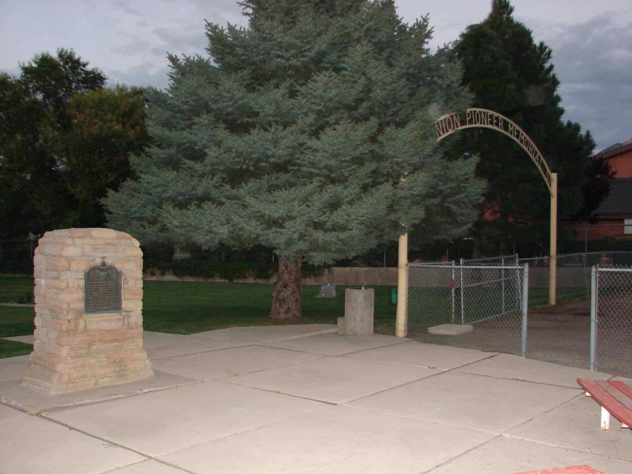
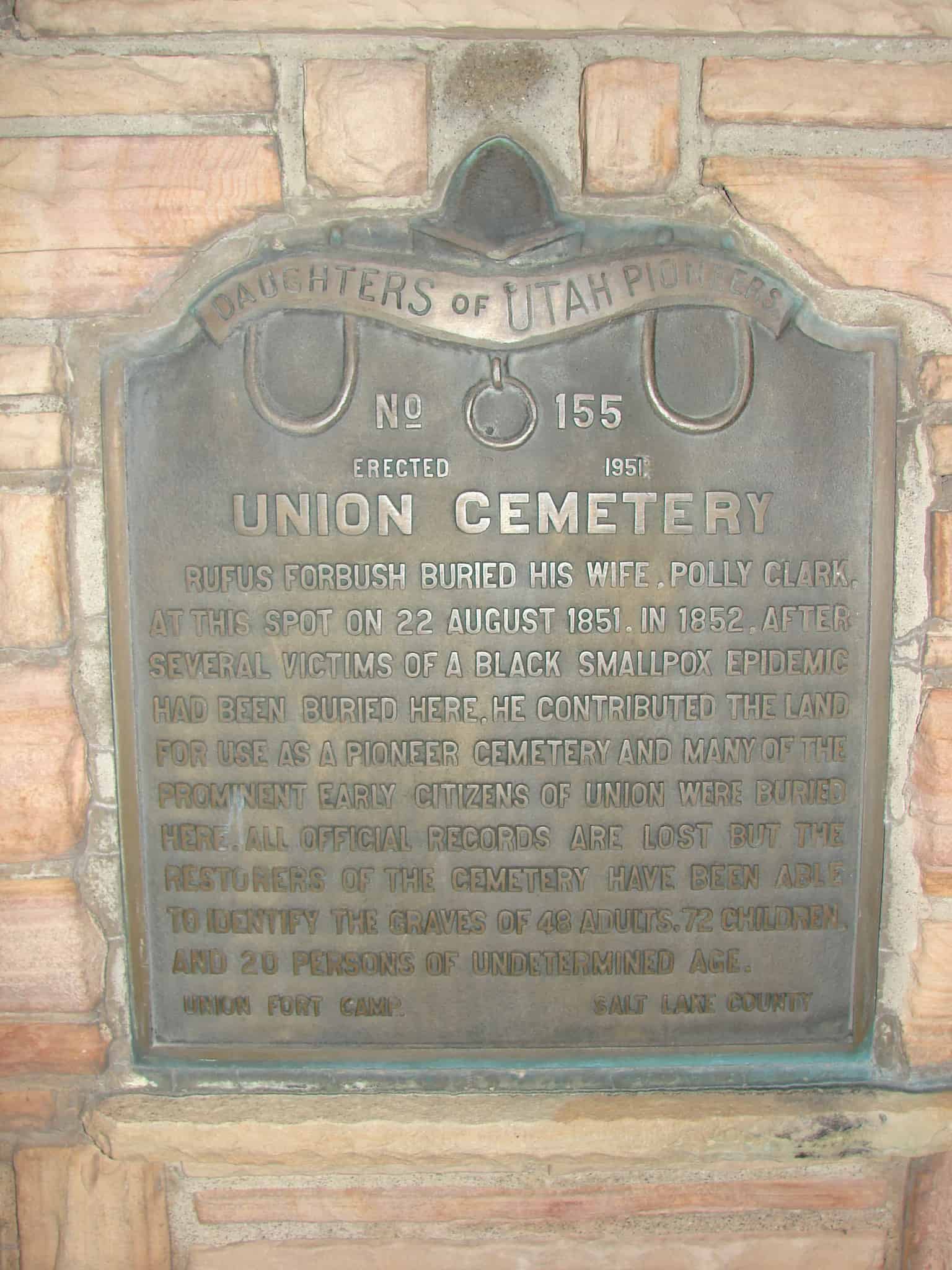
Rufus Forbush buried his wife, Polly Clark, at this spot on 22 August 1851. In 1852, after several victims of a Black Smallpox epidemic had been buried here, he contributed the land for use as a pioneer cemetery and many of the prominent early citizens of Union were buried here. All official records are lost but the restorers of the cemetery have been able to identify the graves of 48 adults, 72 children and 20 persons of undetermined age.
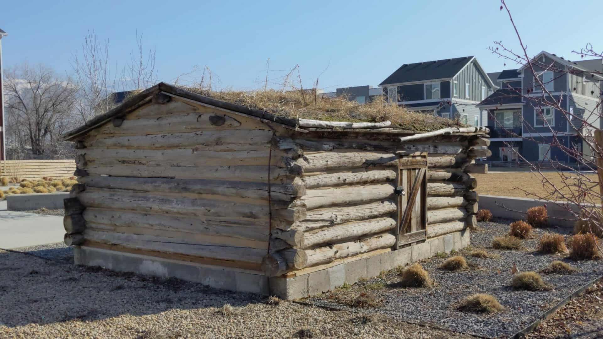
This log cabin formed part of a two room house erected in 1866 for the home of David Tarbell Drown & Sarah Olive Newbell, Drown. It was erected on the North side of Center Street, 300 feet west of the intersection of Main and Center Street, Midvale, then part of West Jordan. It was not the first log house to be built in Midvale, but the only remaining early home testifying of pioneer life, and as such it was presented to the Daughters of Utah Pioneers and dedicated July 9, 1936.
Note: This plaque was made as Daughters of Utah Pioneers marker #34 but the Eagle Rock Meeting House marker was made #34 first so this one is #39 on the official list, it is located at 7650 Lind Lane in Midvale, Utah
The eastern part of the city started as agricultural neighborhoods, and the western areas formed a mining and milling settlement, each relying on the other for sustenance, protection, social interaction and commerce. The Union Fort area of Midvale City began as a center of agriculture.
The Old Town area of Midvale City began as a center of mining and industry. Pioneer families began arriving in 1851 to start the settlement, which blossomed in the 1870s as a result of mining in Bingham Canyon and the coming of the railroad. The area was then known as Bingham Junction, and was an important midpoint along the rail between mining in Little Cottonwood Canyon to the east and Bingham Canyon to the west. With the discovery of silver in Little Cottonwood Canyon and in Bingham Canyon, new people rushed to be a part of the growing business and industry located in the middle valley in Midvale City. Along with industry came the hotels, boarding houses, saloons, schools, and the people who made Midvale City’s Old Town a center of the community.