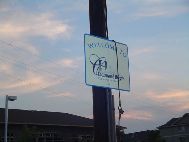
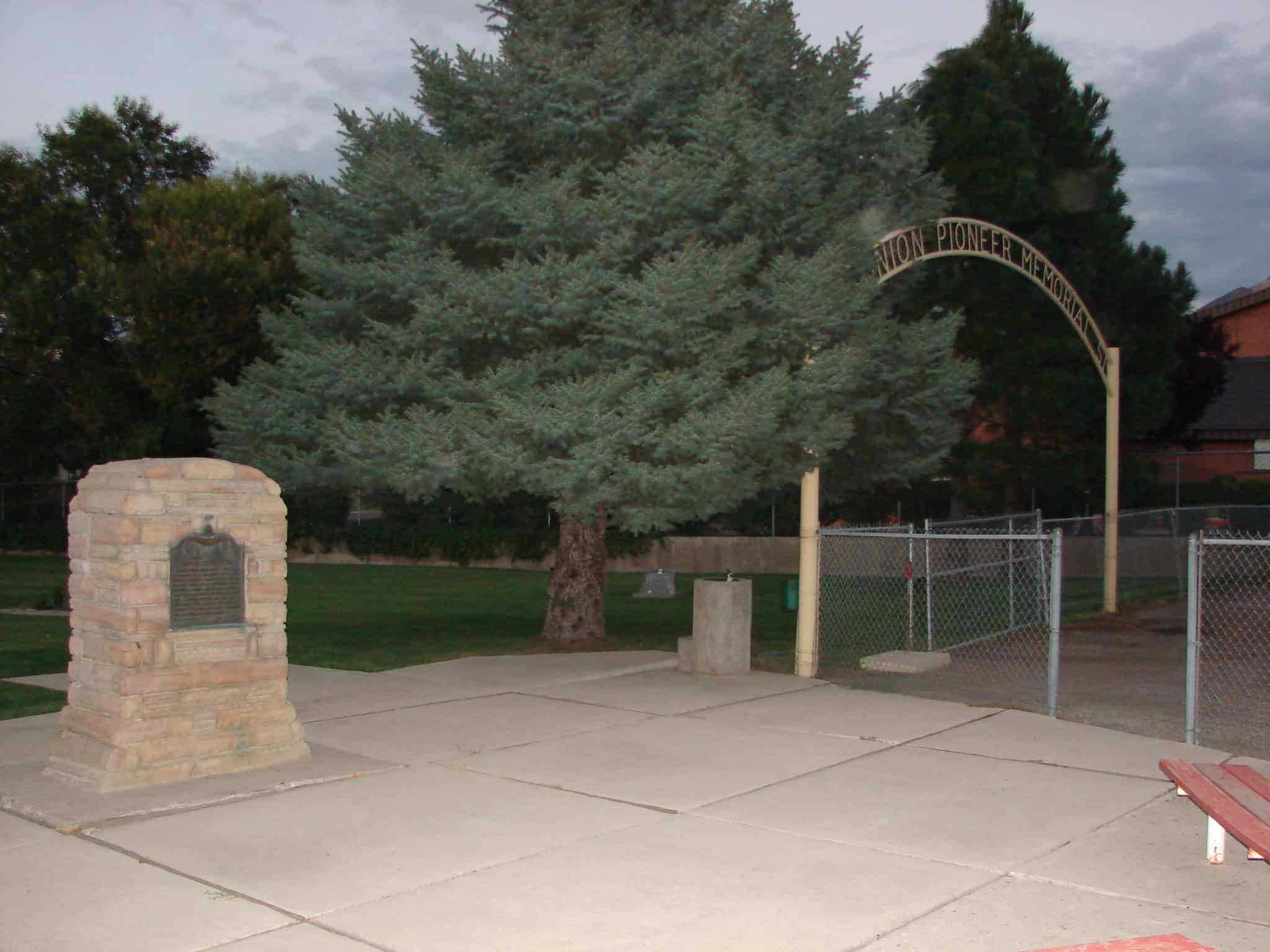
The Union Cemetery in Sandy.
Location: 1455 East Creek Road, Sandy, UT
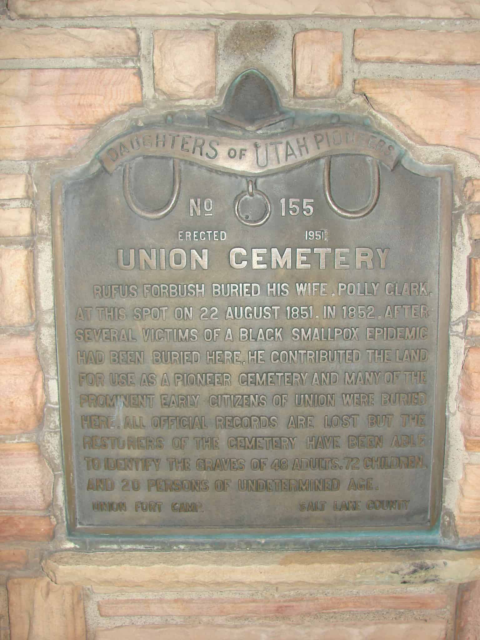
Text from DUP Marker #155 reads:
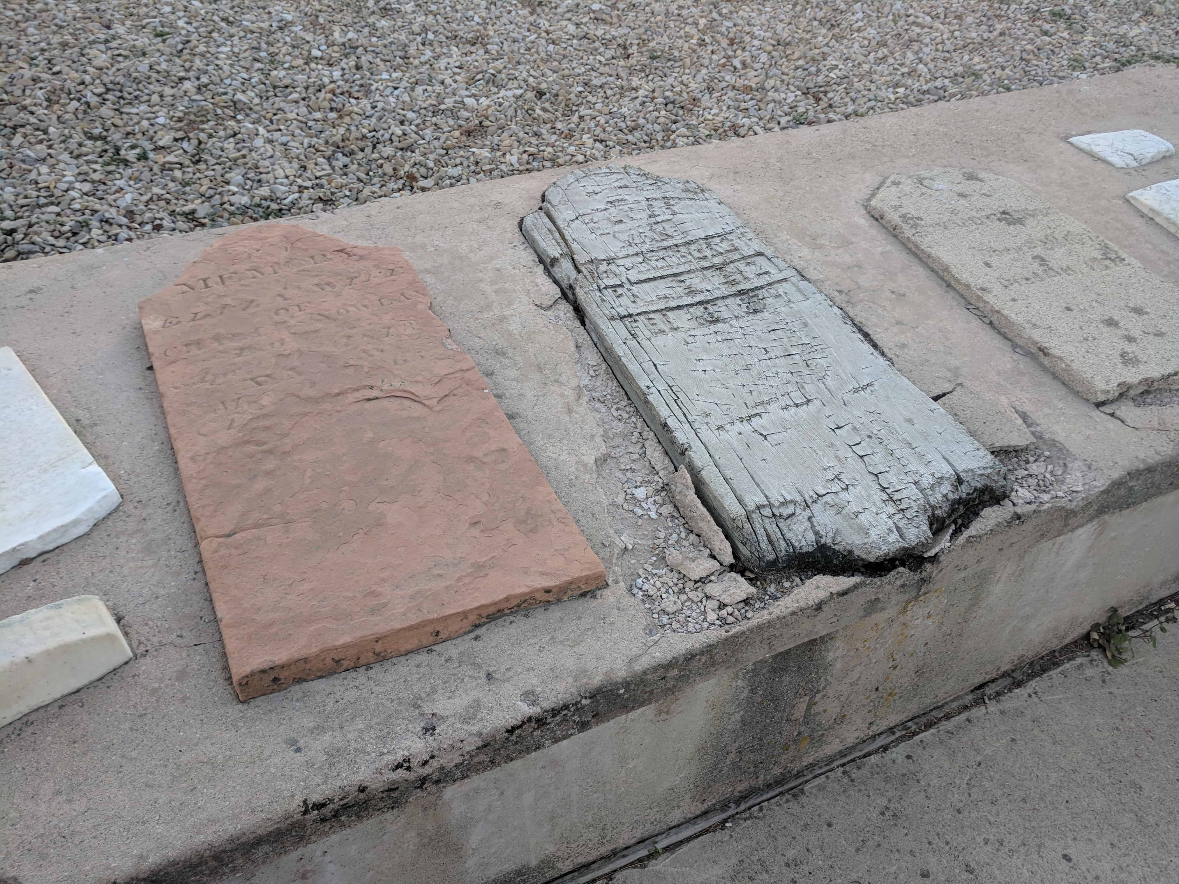
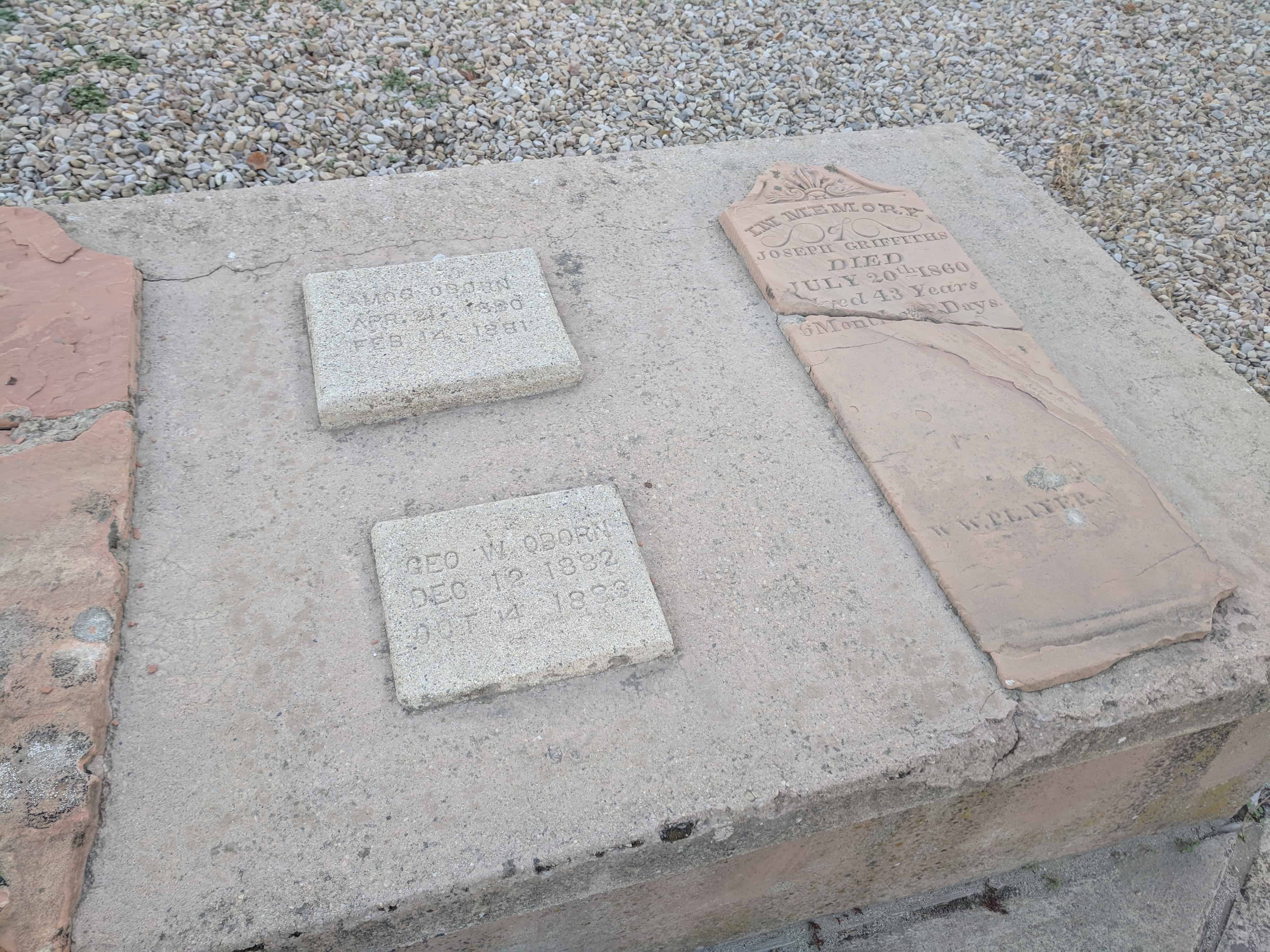
Rufus Forbush buried his wife, Polly Clark, at this spot on 22 August 1851. In 1852, after several victims of a Black Smallpox epidemic had been buried here, he contributed the land for use as a pioneer cemetery and many of the prominent early citizens of Union were buried here. All official records are lost but the restorers of the cemetery have been able to identify the graves of 48 adults, 72 children and 20 persons of undetermined age.
Green and Martha Flake are buried here, two of the first 3 African American people to join the LDS Church and to come into the Salt Lake Valley. (See Legacy of the Black Pioneer)
There is a plaque for the Olaus Johnson Family reading:
Olaus Johnson, a twin, was born November 17, 1833, to Johan Olsen (Heggum) and Karen Olsen (Winnes) in Nordstand, Royken-Buskerud, Norway. At the age of nine, he went into the fishing trade with his father and at fifteen, he left to become a sailor. After six years, he was commissioned as a “captain.” He lived on the sea until he was twenty-nine years old.
Olaus and his family were converted to the L.D.S. Church and migrated to Utah in September of 1863; along with Anna Helena Dyresen, Marie Hansen, Martin Mattias Olsen, Amphion (Olsen) Johnson, Little Olsen, and Charles Kalo Ingelinn Olsen. Olaus and Anna Helena Dyresen Amundsen (daughter of Dyre Amundsen and Gjretude Marie Olsen) were married in Echo Canyon September 9, 1863, prior to arriving in the Salt Lake valley. They settled in South Cottonwood and later moved to West Jordan where they lived in a dugout. They later lived for a period of two years in Mill Creek, and then back again to West Jordan. In 1866, they moved again to South Cottonwood. During this period, their first son drowned in an irrigation ditch.
More immigrants came from Norway in the fall if 1864. Included was Paulina Thomasen (Thomasdatter), daughter of Thomas Syverson and Marie Pederson, who came to live with the Johnsons. Olaus and Paulina were married on Jamuary 13, 1867. Due to the U.S. anti-polygamy raids, he was forced to hide out most of the time. Following a period in California, he finally returned and turned himself over to the authorities and as a result, spent six months in the penitentiary.
Prior to his death on March 22, 1922, Olaus served two missions for the L.D.S. Church. He was a skilled craftsman and spent most of his life as a carpenter, mason, and farmer. Olaus is buried in the Murray City Cemetery.
This is listed on the SUP Marker list as # J-1 and is on the DUP Marker list as #155.