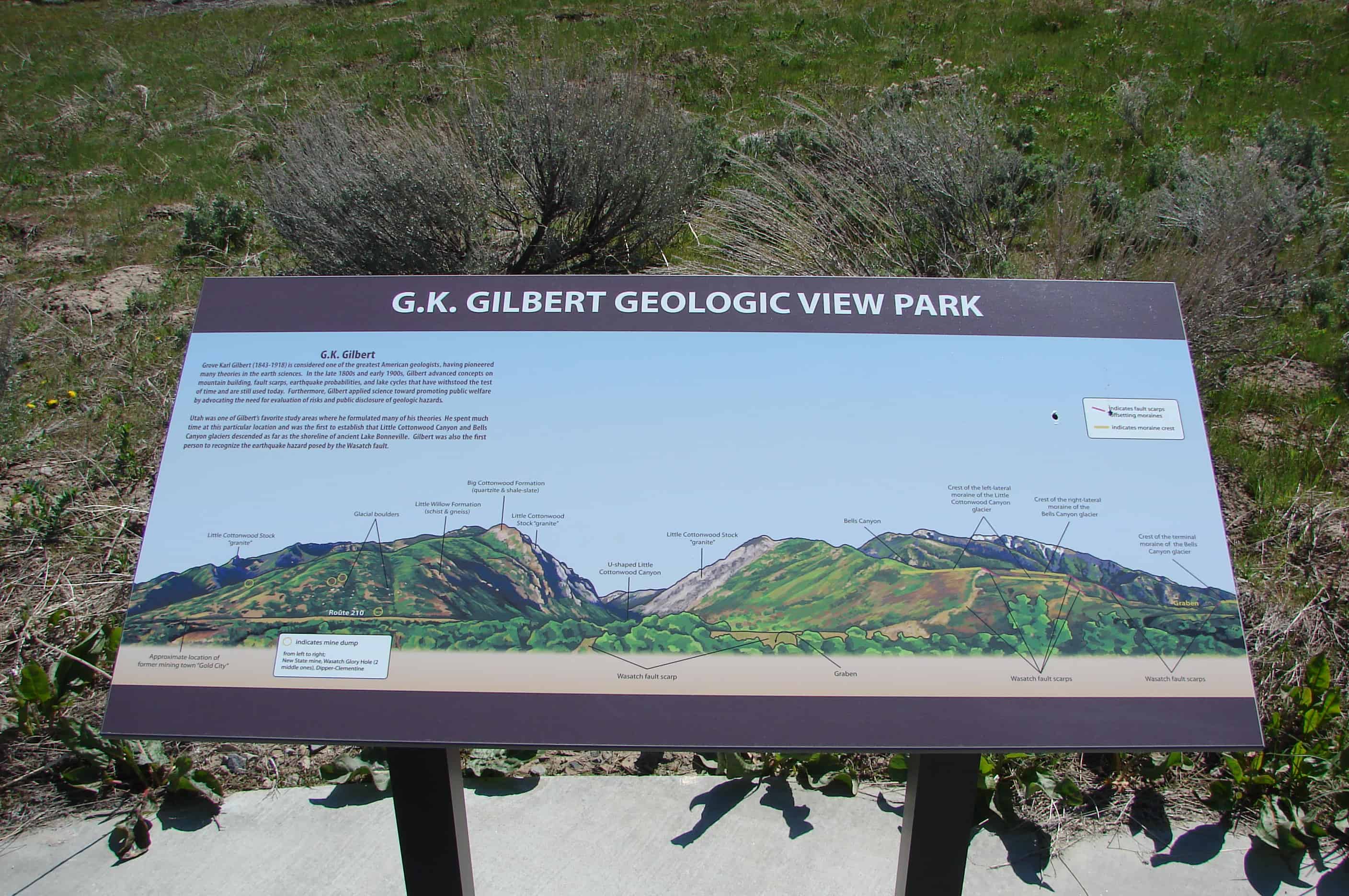
See Also: G.K. Gilbert Geologic View Park
Little Cottonwood Rocks
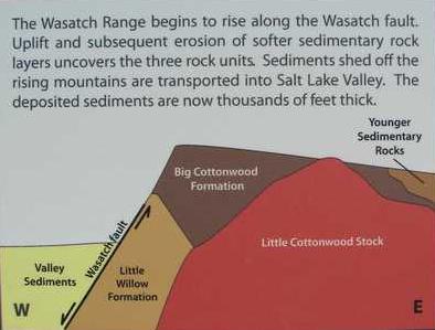
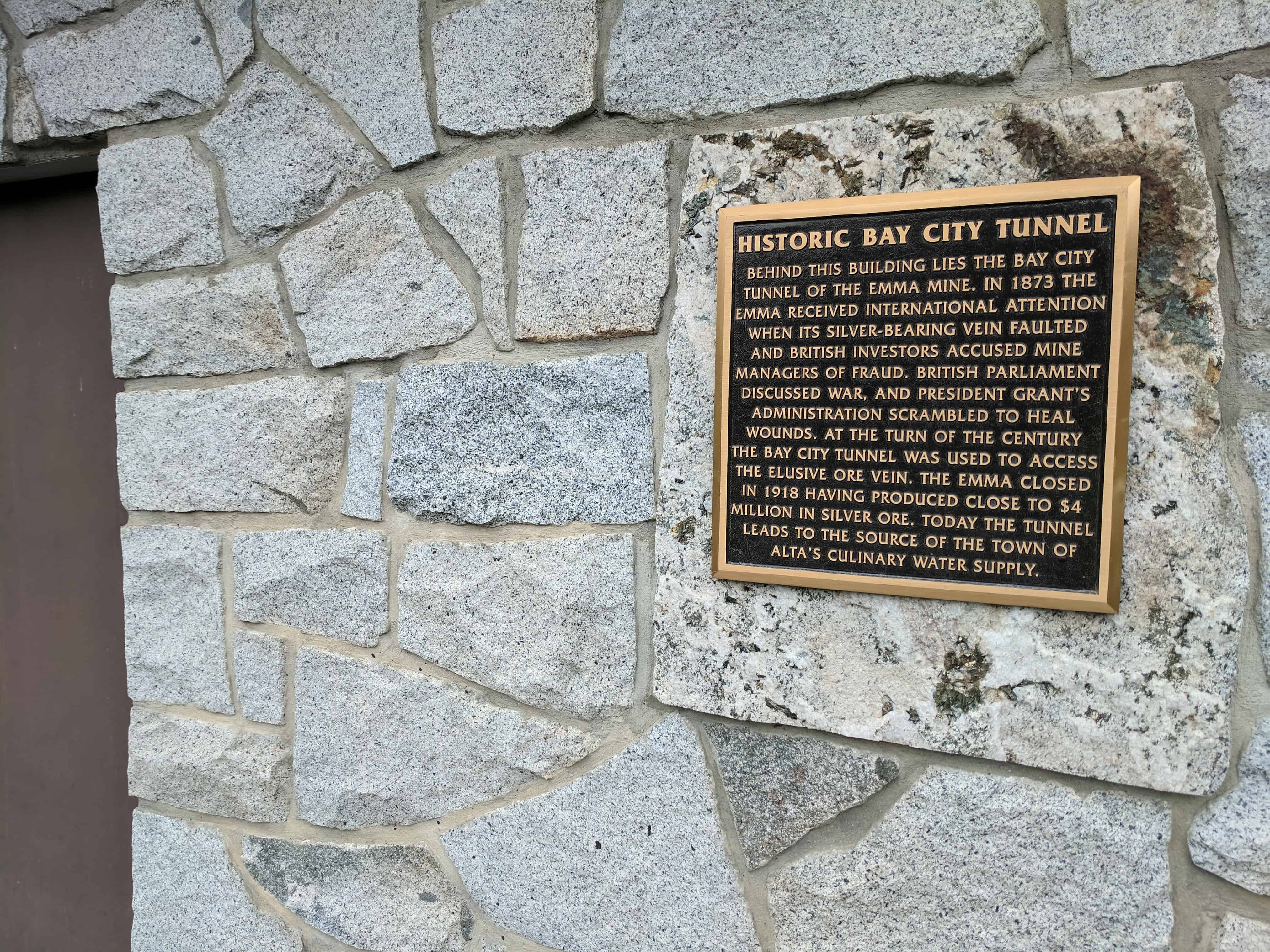
Geology and History of Little Cottonwood Canyon.
Little Cottonwood Bedrock
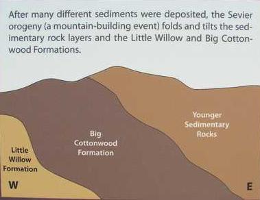
Three Bedrock units are visible on the north side of, and in Little Cottonwood Canyon :

Little Willow Formation
The little willow formation is approximately 1.7 billion years old, making it the oldest rock in the Salt Lake City area. The highly metamorphosed rock consists primarily of intensely contorted quartz schist and gneiss intruded by igneous rocks that have been altered to amphibolite and chlorite schist.
Big Cottonwood Formation
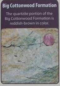
Big Cottonwood Formation
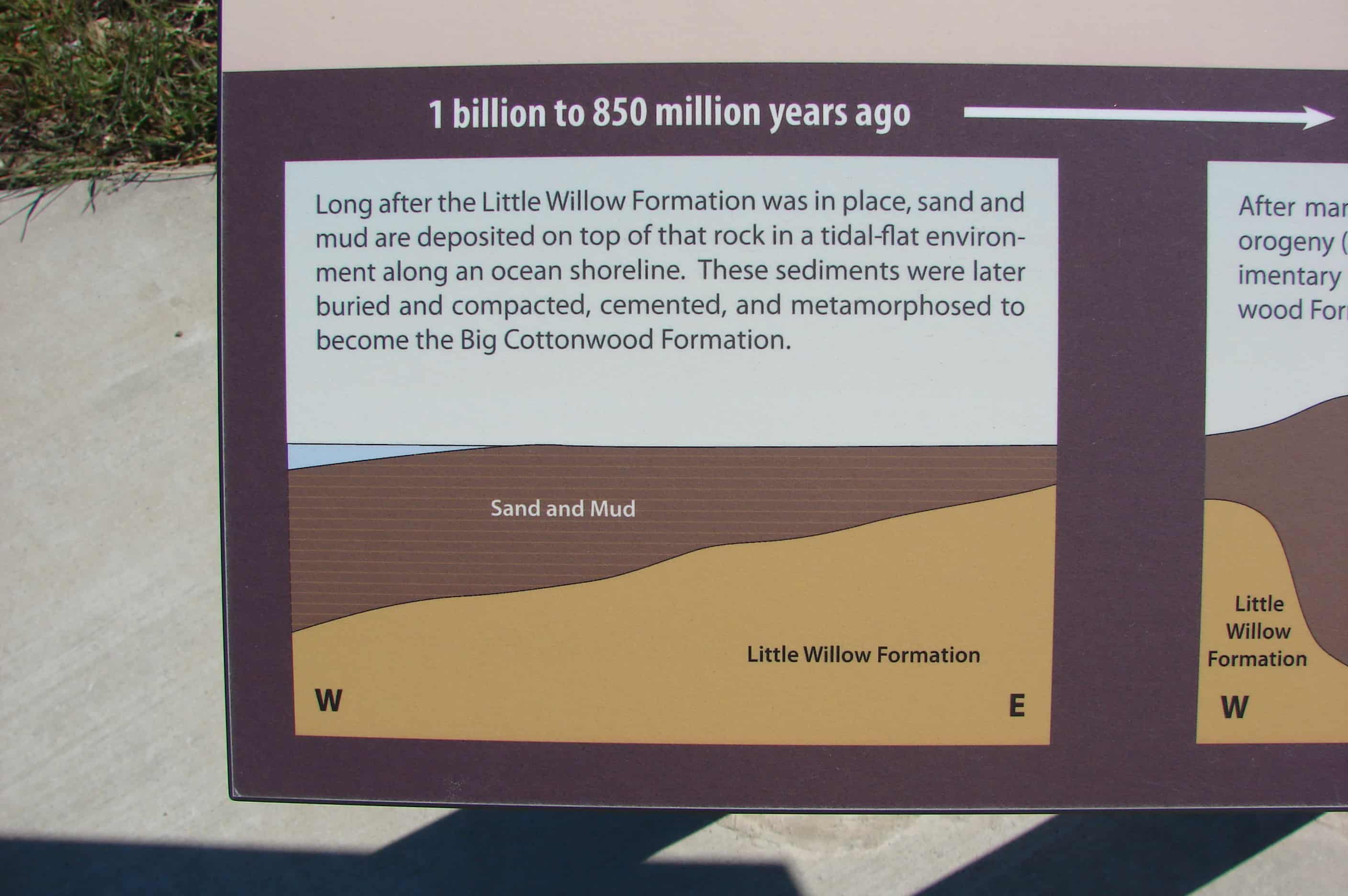
One billion to 850 million years old, the Big Cottonwood Formation is a low-grade metamorphic rock that consists of reddish-brown quartzite and black to purple to green shale, argilite, and slate. Originally deposited along the shoreline of an ancient sea, ripple marks and mud cracks are still preserved in this rock.
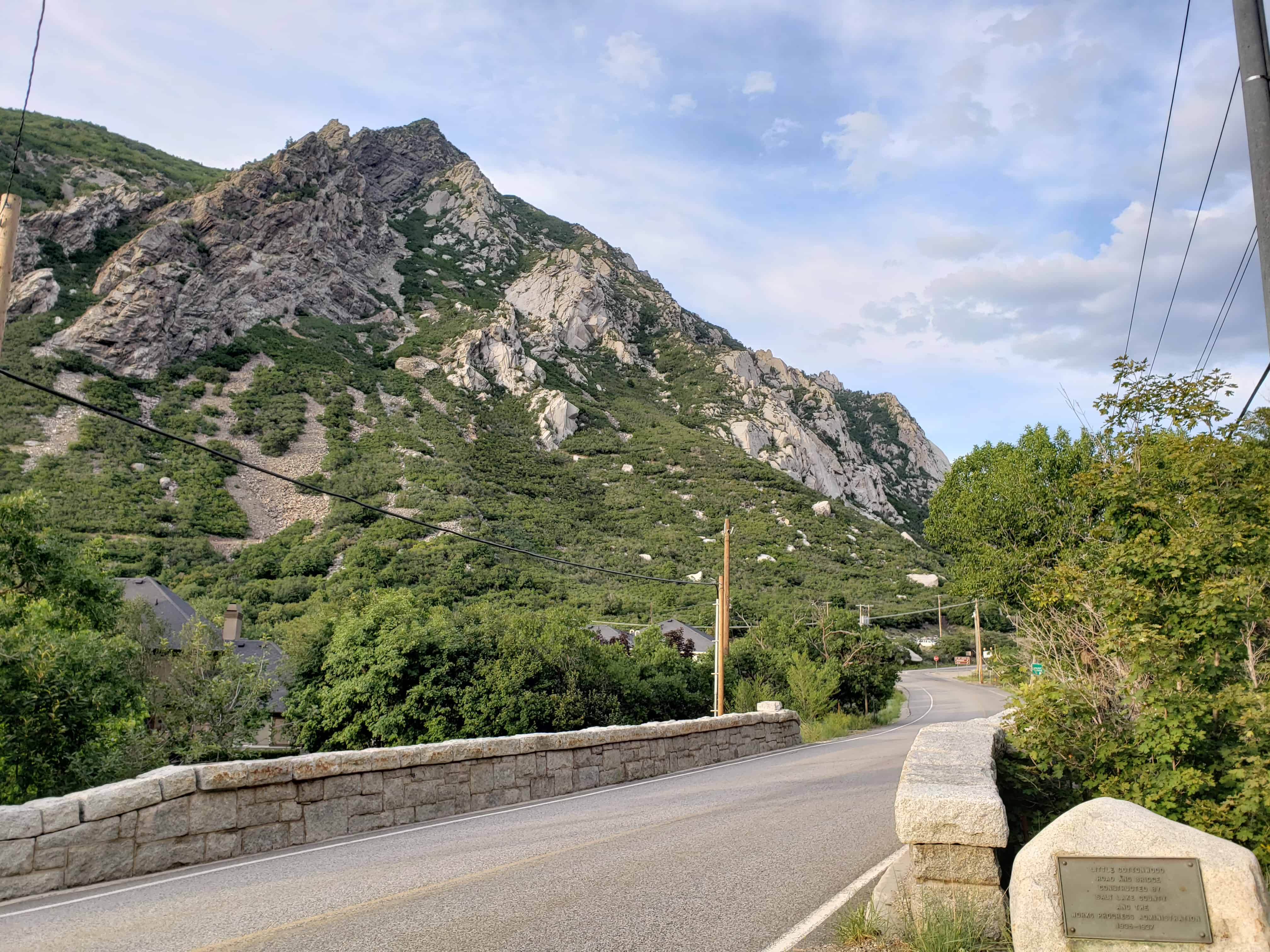
The rock on the north canyon wall is easy to distinguish from the adjacent light gray “granite” father up the canyon.
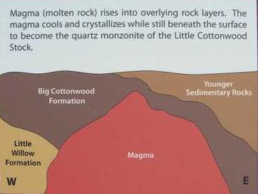
Little Cottonwood Stock

Little Cottonwood Stock
This igneous rock is quartz monzonite, or more generally called granite. Between 32 and 31 million years ago, magma pushed up through the crust into overlying rock layers and then cooled and solidified before reaching the surface. Quartz monzonite is composed of plagioclase, quartz, orthoclase, biotite, and hornblende.
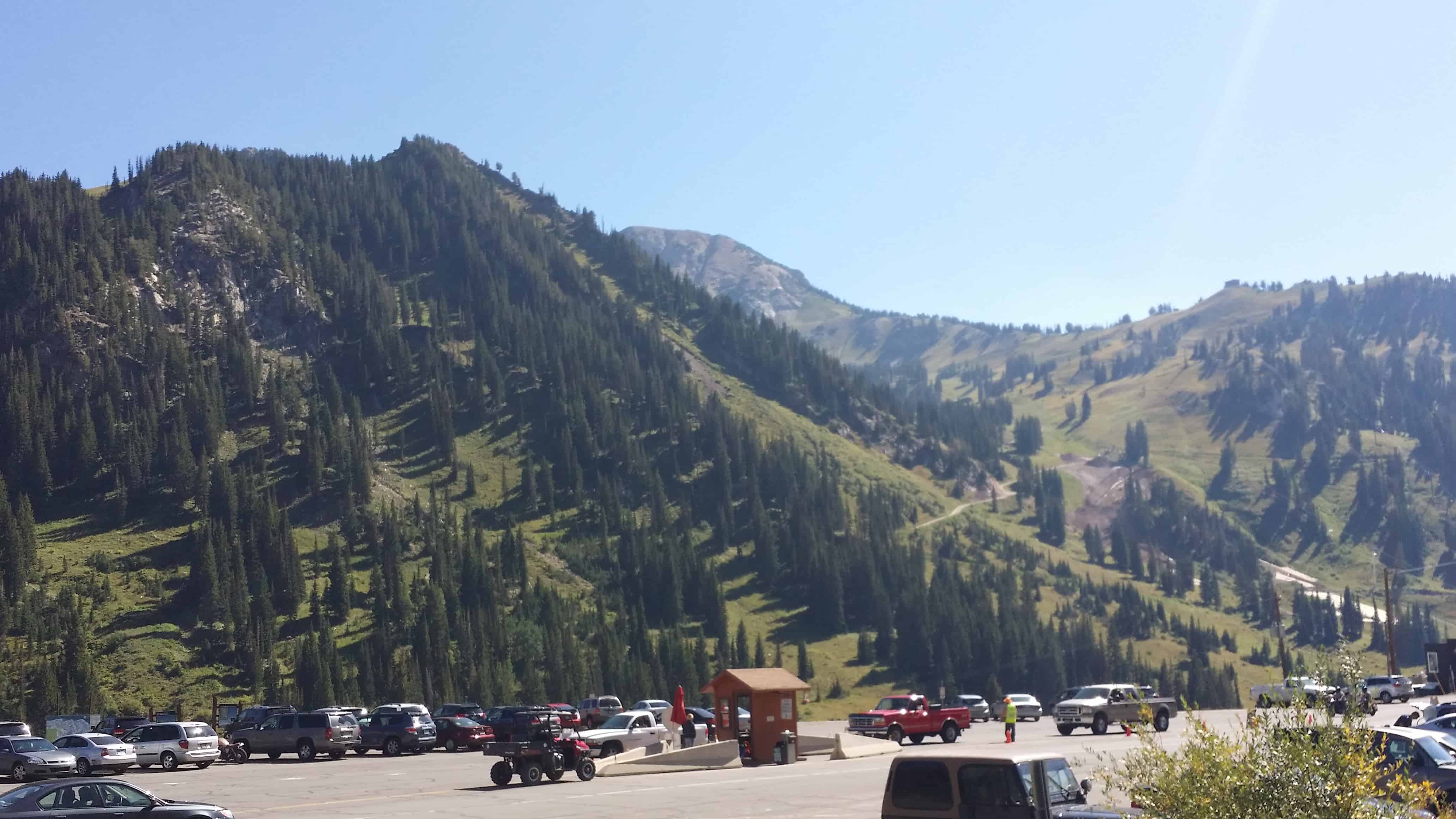
Popular for rock climbing, this light grey granite rock makes up most of the canyon walls.
A history of the rocks in this area :