Tags
Wayne County
21 Saturday Jan 2017
Posted in Uncategorized

21 Saturday Jan 2017
Posted in Uncategorized
Tags
14 Wednesday Dec 2016
Posted in Uncategorized
Tags
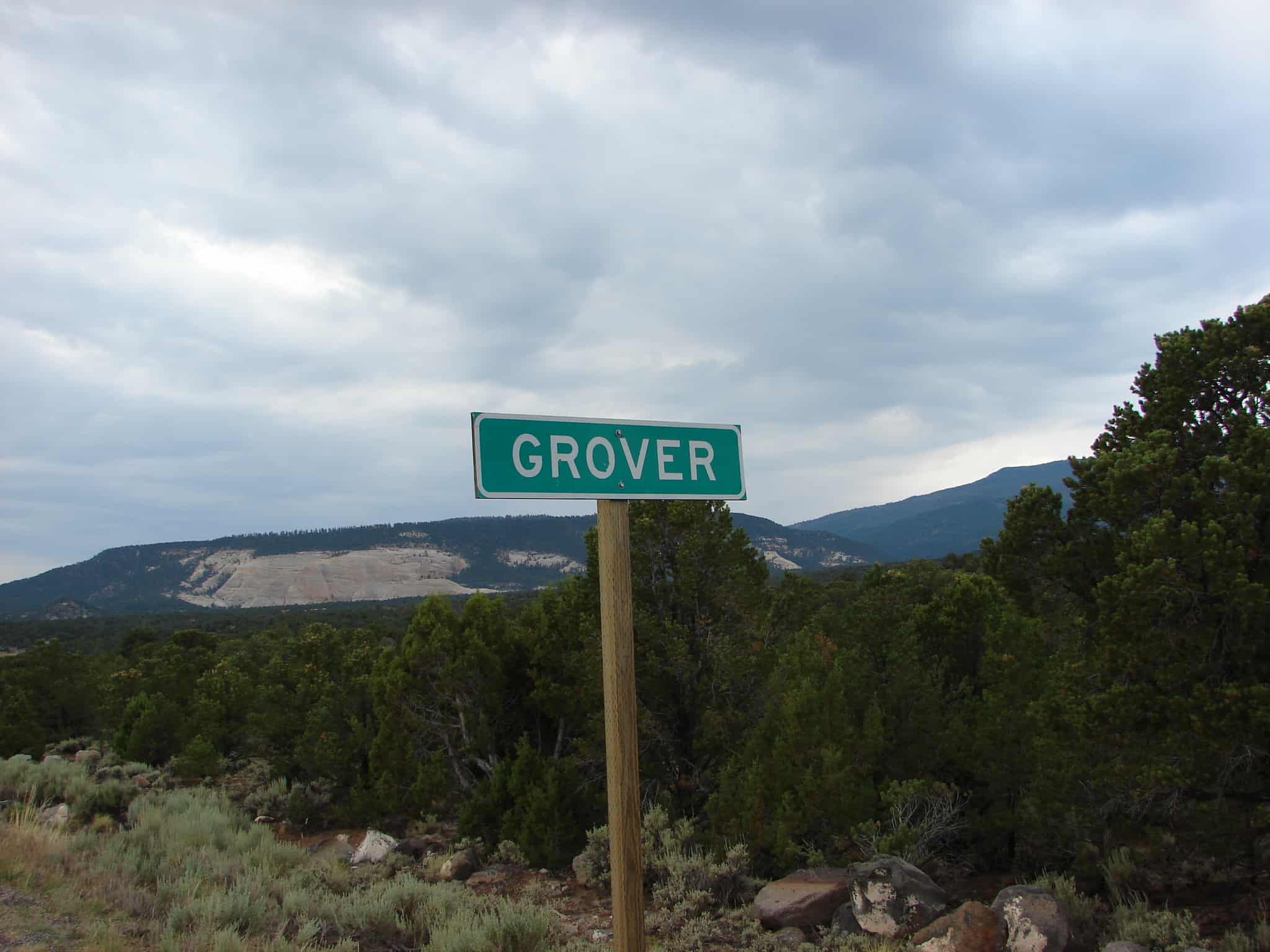
Grover Posts:
The first settlers on Carcass Creek were experienced Wayne County ranchers who arrived in 1880. In 1881, more cattlemen settled along Fish Creek. A small number of residents scattered through the area over the next few years. These early settlers referred to their settlement as Carcass Creek. In 1887, the Mormon residents were organized into a congregation called the Carcass Creek Branch, although meetings were held only irregularly due to the distances among homes.
In the early 1890s the growing town was granted a post office, and the name was changed to Grover in honor of U.S. President Grover Cleveland. The Grover Irrigation Company organized in 1893 to build and manage structures for drawing and distributing water from Fish Creek Lake. The first school classes were held in the winter of 1892–1893, and the first log school/church/community building was built about 1900.
In 1935, a new school building was built in Grover. A stuccoed log one-room school, the Grover School was built with funds and labor provided mainly by the Works Progress Administration. Unlike other area schools, it had a fence and lawn. Due to Grover’s small size, the school board quickly decided the school was an unnecessary expense; within three years the older children were sent to school in Bicknell, and in 1941 the Grover School was closed. The building has remained largely intact, and in 1986 it was listed on the National Register of Historic Places.
14 Wednesday Dec 2016
Posted in Uncategorized
Tags

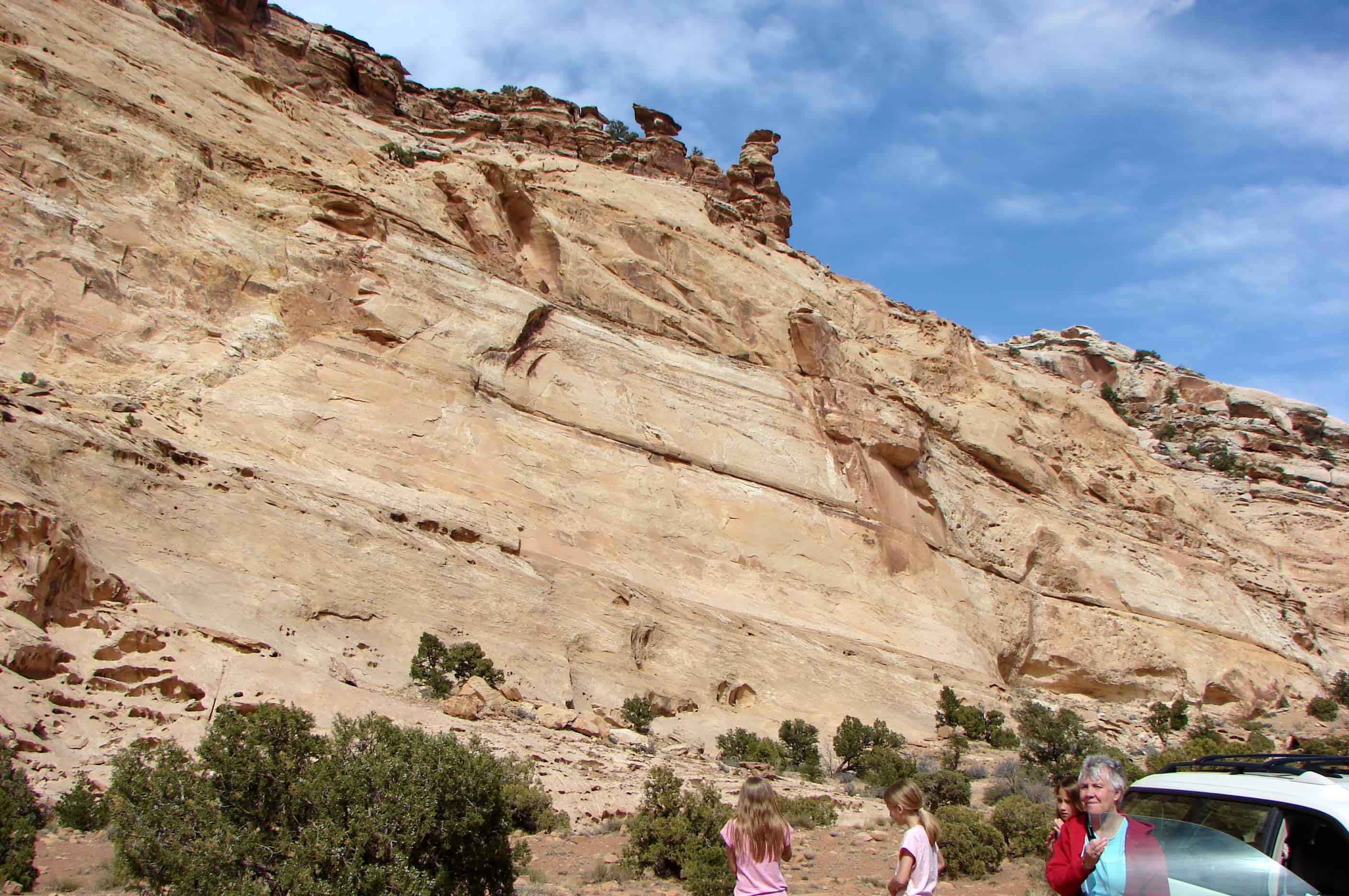
Just east of Capitol Reef National Park near the small Moki Ruins of the Fremont Indians. This structure is in an area under the overhang of the cliff. It was used as a granary by the Fremont Indians to keep their food safe. This is a great little place to pull off the highway, see a piece of ancient local history, stretch your legs, hike around a bit.


14 Wednesday Dec 2016
Posted in Uncategorized
Tags

In the early 1880s, several settlements in Wayne County were started by Mormon farmers under the leadership of Hyrum Burgess. By 1883 some Burgess family members had moved to the Blue Valley area, constructing a dam and irrigation canal by 1884.
The land along the Fremont River was fertile, and the growing season longer than in western Wayne County. The valley’s farming potential soon brought other settlers. The settlement was known as Blue Valley for its blue-gray soil, colored by Bentonite clay and Mancos Shale. The town was built on both banks of the river, but most people lived on the south side. A footbridge connected the two halves. A school building was erected in 1888, but a proper townsite was not laid out until June 1895. At that time residents renamed their settlement Giles, in honor of the late Bishop Henry Giles, who had been one of Blue Valley’s most prominent residents. The crops in Giles grew well, and by 1900 the population had increased to 200. A new meetinghouse went up in 1901, said to be the largest in the county. There was a sawmill in the nearby Henry Mountains, and the town included a grocery store, blacksmith shop, and boarding house.
The early 1900s brought frequent devastating floods of the Fremont River. The flooding in 1909–1910 was so severe that local church authorities gave up on trying to maintain a permanent dam. Unable to irrigate their crops, the residents began to leave. By 1919 Giles was a ghost town.
Two rock buildings still stand at the site, and numerous foundations and old corrals show where the town once was.


07 Sunday Aug 2016
Posted in Uncategorized
Tags
18 Thursday Feb 2016
Posted in Uncategorized
Tags
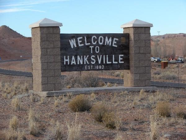
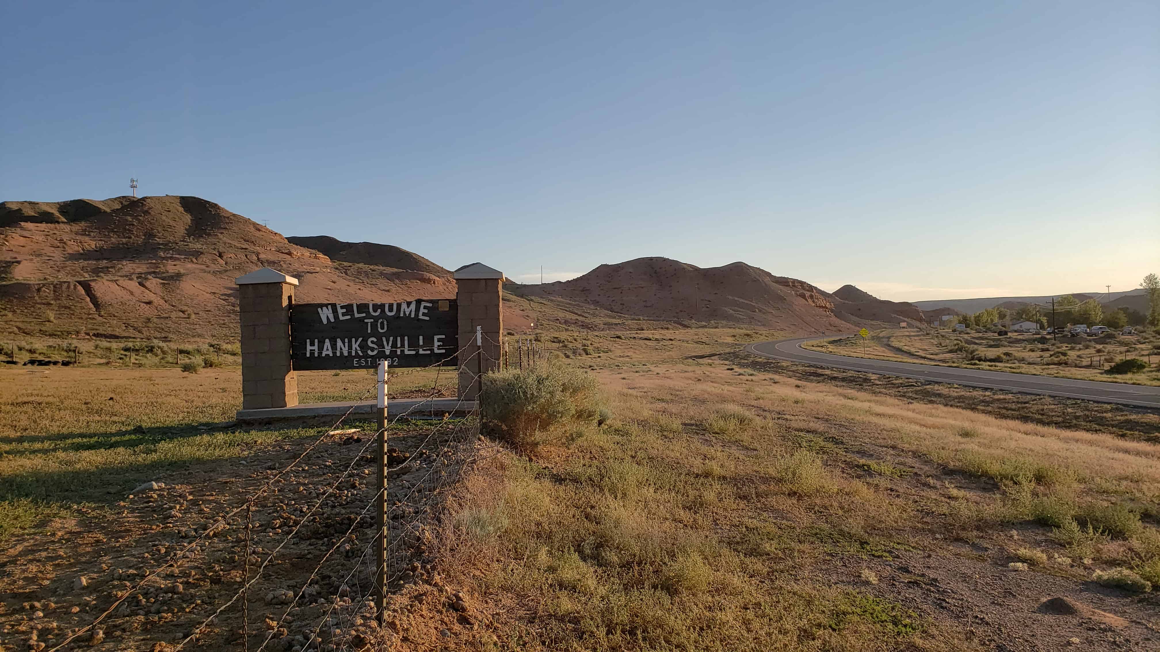
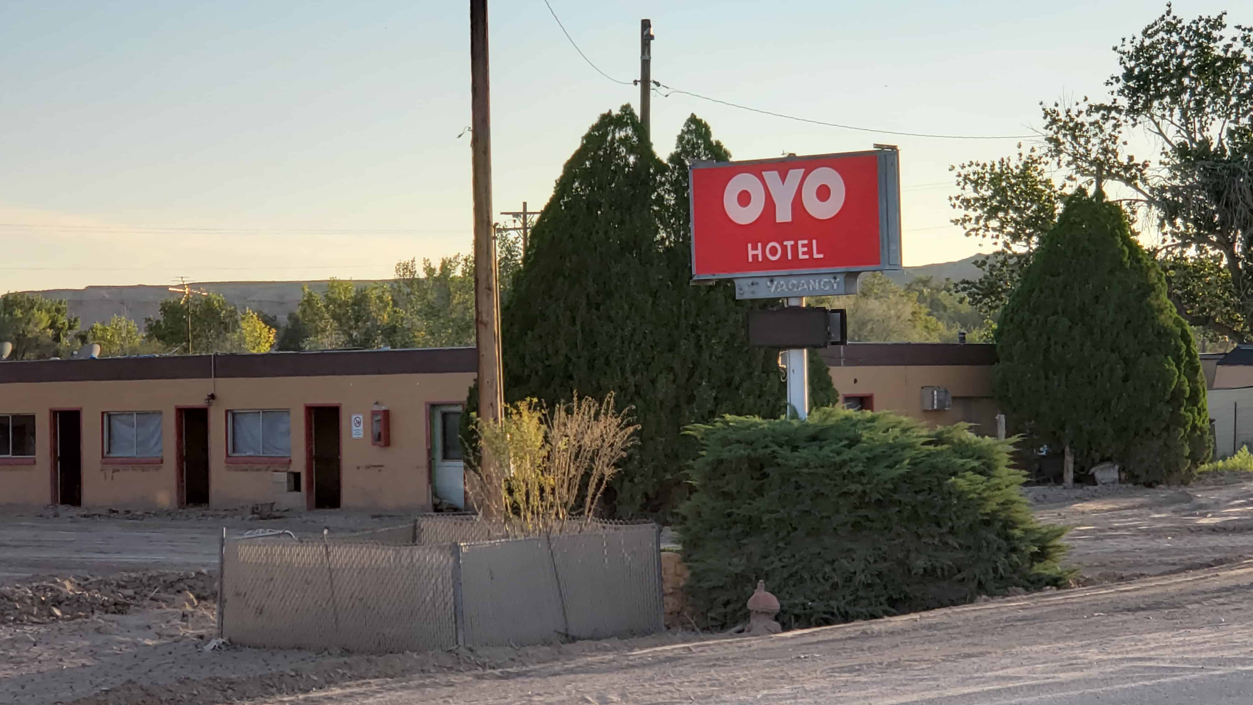
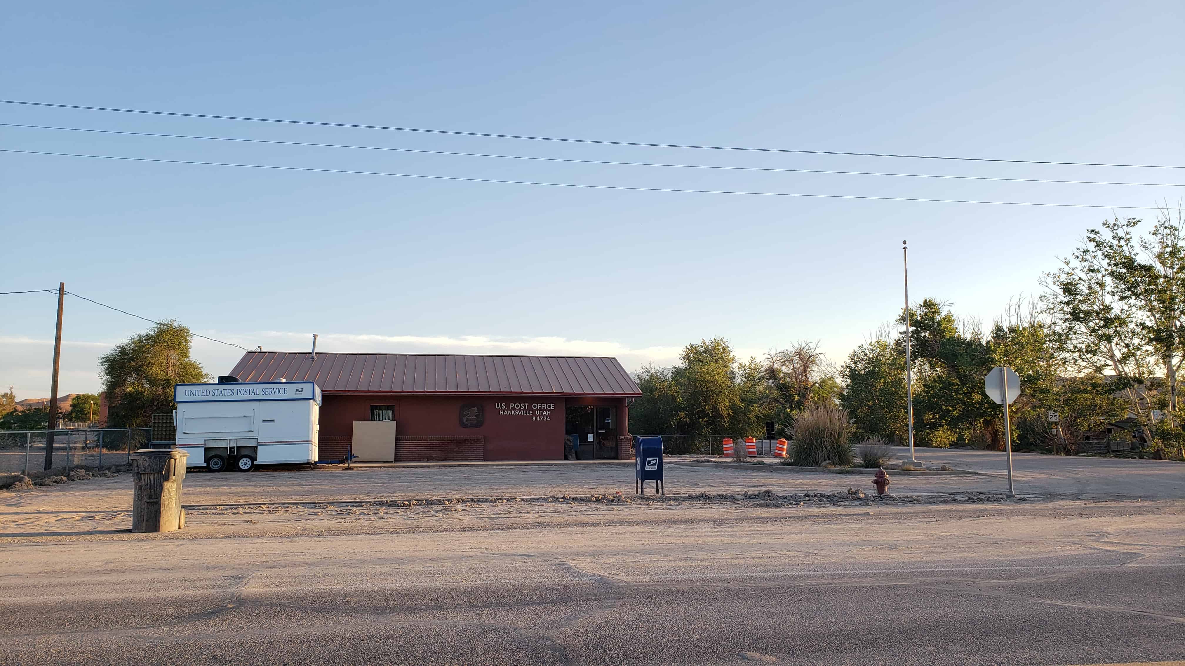
In the spring of 1882 Ebenezer Hanks, Ebenezer McDougall, Joseph Sylvester, Charles Gould, and Samuel Gould moved with their families from Washington County to what would become Hanksville, Utah.
Related:


10 Wednesday Dec 2014
Posted in Uncategorized
Tags
Cainville Posts:
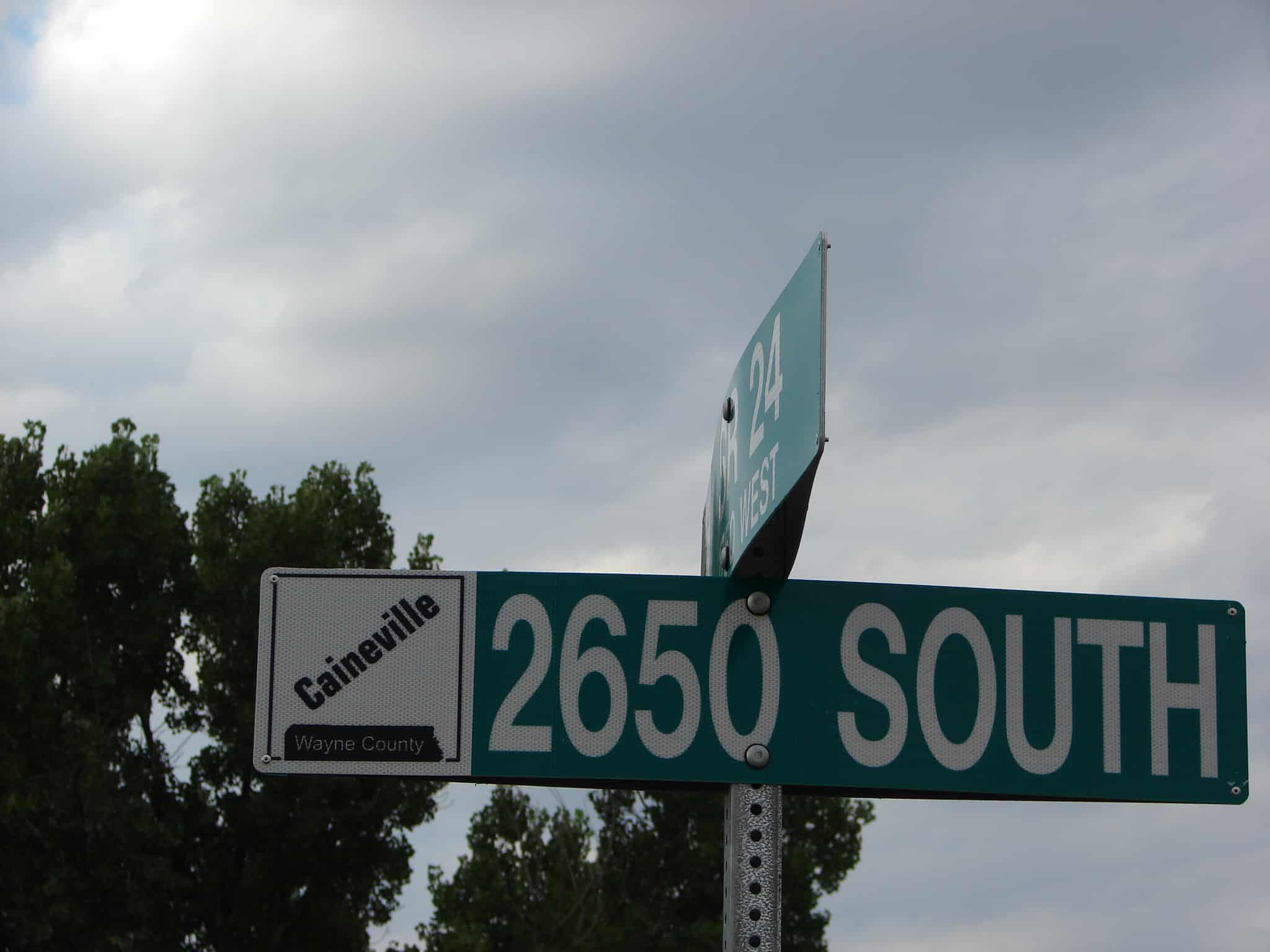
Caineville was on the left bank of the Fremont River, sixty-five miles southeast of Loa. In 1882, the Mormon Church sent Elijah Cutler Behunin to open this area for settlement. He was the first man to take a wagon through Capitol Wash (now known as Capitol Reef Gorge) in the Capitol Reef National park. The town he established was named to honor Iohn T. Caine, Utah territory’s representative to Congress. Periodic flooding caused the people to abandon their homes in Caineville and much arable land was lost. Erosion and abandonment eventually reverted this area to open range and ranch land. Today, much of this area is again under cultivation because of improved irrigation techniques. Presently there are no substantial settlements along this stretch of the river, and Caineville could best be called a ghost town.
See my post for the DUP Historic Marker in Cainville here.
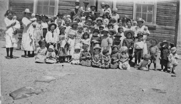
This is a photo taken in 1922 in front of that original church that burned in 1937 and was replaced by the cool one you pass in Caineville. This town was once a thriving community and the county seat before the floods drove the pioneers out.
Click here to see other places in Utah.
21 Friday Nov 2014
Posted in Uncategorized
10 Tuesday Jun 2014
Posted in Uncategorized
Tags

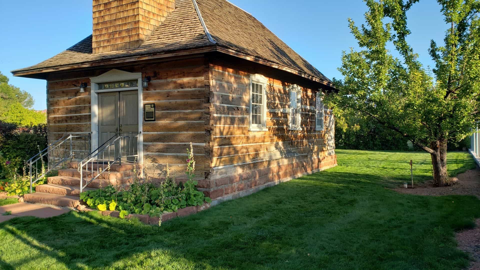
Torrey Log School and Church
On September 18, 1898, construction began on the Torrey log church, later used also as a school. Local settlers furnished labor, cash, and materials for this unique log structure with its steep hip roof, flared eaves, square bell tower on the entry side, and a pink sandstone foundation. On December 19, 1898, school opened in this 21 X 37 foot, one-room building for students of Torrey and the surrounding ranches. This multi-purpose building was used for dances and other activities, including civic, social, and religious meetings until two, red sandstone buildings were constructed, one for a school and one for a church. However, use of this original log building continued both by the LDS Church and the community until the 1970s.
In the fall of 1990, the Church deeded the old, log building to the local Daughters of Utah Pioneers, Camp Radiare, with the provision that it was to be moved from Church property. Since that date, the building has received major restoration and renovation. This one-of-a-kind structure will continue to be used for religious, civic, and educational functions.


This is Daughters of Utah Pioneers historic marker #494, placed in 1996 and located at 59 East Main Street in Torrey, Utah.
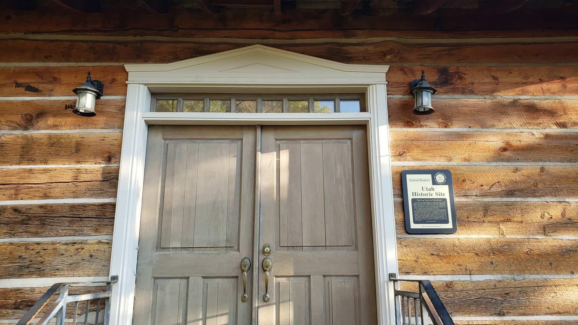
Torrey Log Church and Schoolhouse
The Torrey Log Church/Schoolhouse, completed in 1898, is locally significant as the first church building and the first school building in the pioneer community of Torrey, settled in the 1890s. After a new multi-use building with classrooms was built in 1917 and a new meetinghouse was constructed in 1928, the Torrey Log Church/Schoolhouse continued to be used for various religious and social functions until the 1970s.
The building is architecturally significant as one of approximately one dozen remaining Church of Jesus Christ of Latter-day Saints meetinghouses built within the initial settlement phase. It is the only known example of a log meetinghouse still standing in the state. The building is made of sawn logs joined at the corners with carefully executed half-dovetailed notching. The building was relocated approximately 100 yards to the west to make room for the expansion of the neighboring 1928 sandstone meetinghouse. The Daughters of the Utah Pioneers have restored the building and are using it as a place to hold local meetings, continuing its traditional use for religious and social functions.


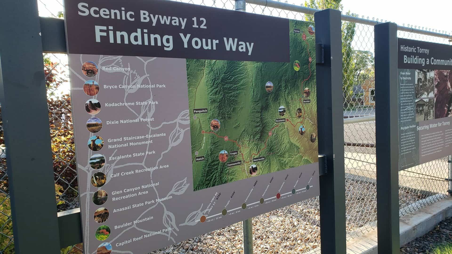


Building a Community
Historic Torrey
From Water to Electricity
Fremont River water also powered Torrey’s first electricity, which arrived in 1929. Recalling those days, Torrey resident Clay Robinson wrote, “When January rolled around the night temperatures often dropped below zero. Water flowing through the canal… into the power plant would turn to ice, curtailing the stream. The generating turbine would slow. The electric bulbs in our house would flicker. Light in the room would fade into a twilight, brighten momentarily, then zoom into total darkness.”
Big Apple Pavilion
During the Great Depression, the Lee family built an open air dance hall in an apple orchard on Main Street. They held boxing matches there, drawing people from all over Wayne County. After each match, people danced under the stars. The restored pavilion remains a gathering place for community events.
Securing Water for Torrey
Water is the lifeblood of any settlement, and Torrey settlers encountered great challenges in their efforts to secure a steady water supply. Though they found a culinary spring up on Thousand Lake Mountain, a wide lava field separated it from the town site. Around 1900, settlers built a flume of hand-hewn logs to carry the water over the lava bed into a ditch and down the 10,000-foot mountain into Torrey. Residents still rely on Thousand Lake Mountain springs for their drinking water.
Around 1900, settlers also began digging a canal to divert water from the Fremont River for irrigation. Fifteen years later, they completed the 11-mile canal. Robert Peden, a Scottish stone mason, cut a 500-foot section of the ditch through a solid rock shelf, using a pick-ax and mule, a project that took him 6 years to finish. This same canal provides Torrey’s irrigation water today.
29 Thursday May 2014
Posted in Uncategorized
Tags
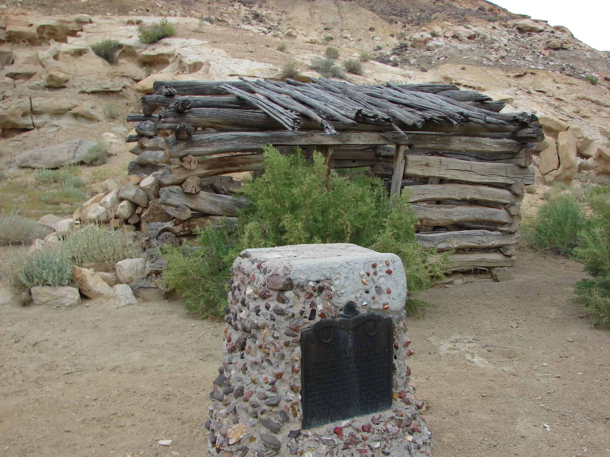
Caineville was settled in 1881 by Elijah Cutler Behunin followed by Chauncey Cook, George P. Pectol, George S. Rust, William T. Carrell and others. This log cabin was built by Mr. Behunin in the autumn of 1881, and occupied by his family of nine. Mrs. Behunin was the only white woman here the first winter. Nearby cemetery site was given by Mr. Carrell. He was the first citizen to be buried therein. Altogether there are 35. The only bishop of Caineville was Walter E. Hanks.


Check out all of the historic markers placed by the Daughters of Utah Pioneers at JacobBarlow. com/dup