Tags

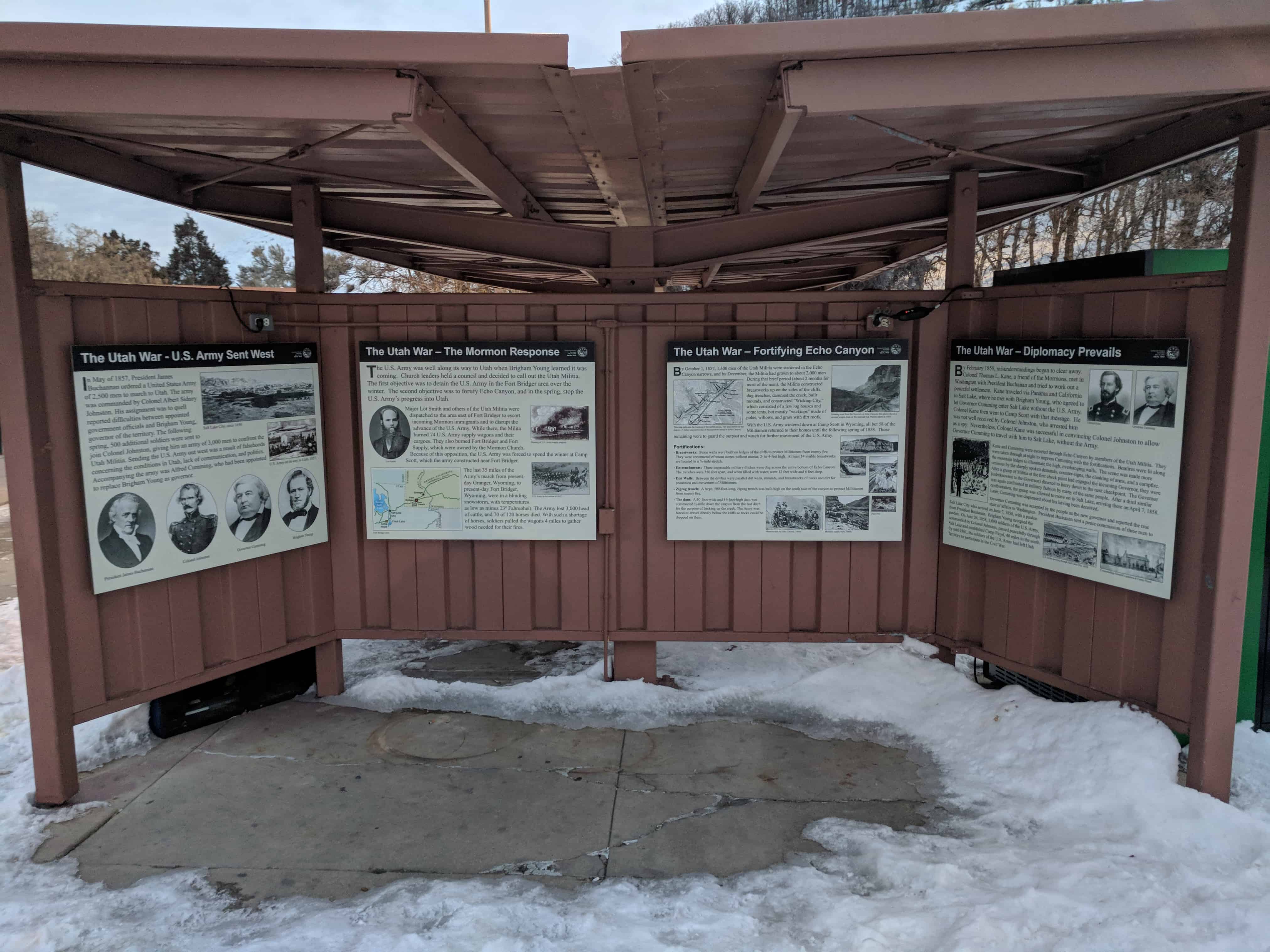
The Utah War – Diplomacy Prevails
By February 1858, misunderstandings began to clear away. Colonel Thomas L. Kane, a friend of the Mormons, met in Washington with President Buchanan and tried to work out a peaceful settlement. Kane traveled via Panama and California to Salt Lake, where he met with Brigham Young, who agreed to let Governor Cumming enter Salt Lake without the U.S. Army. Colonel Kane then went to Camp Scott with that message. He was not well received by Colonel Johnston, who arrested him as a spy. Nevertheless, Colonel Kane was successful in convincing Colonel Johnston to allow Governor Cumming to travel with him to Salt Lake, without the Army.
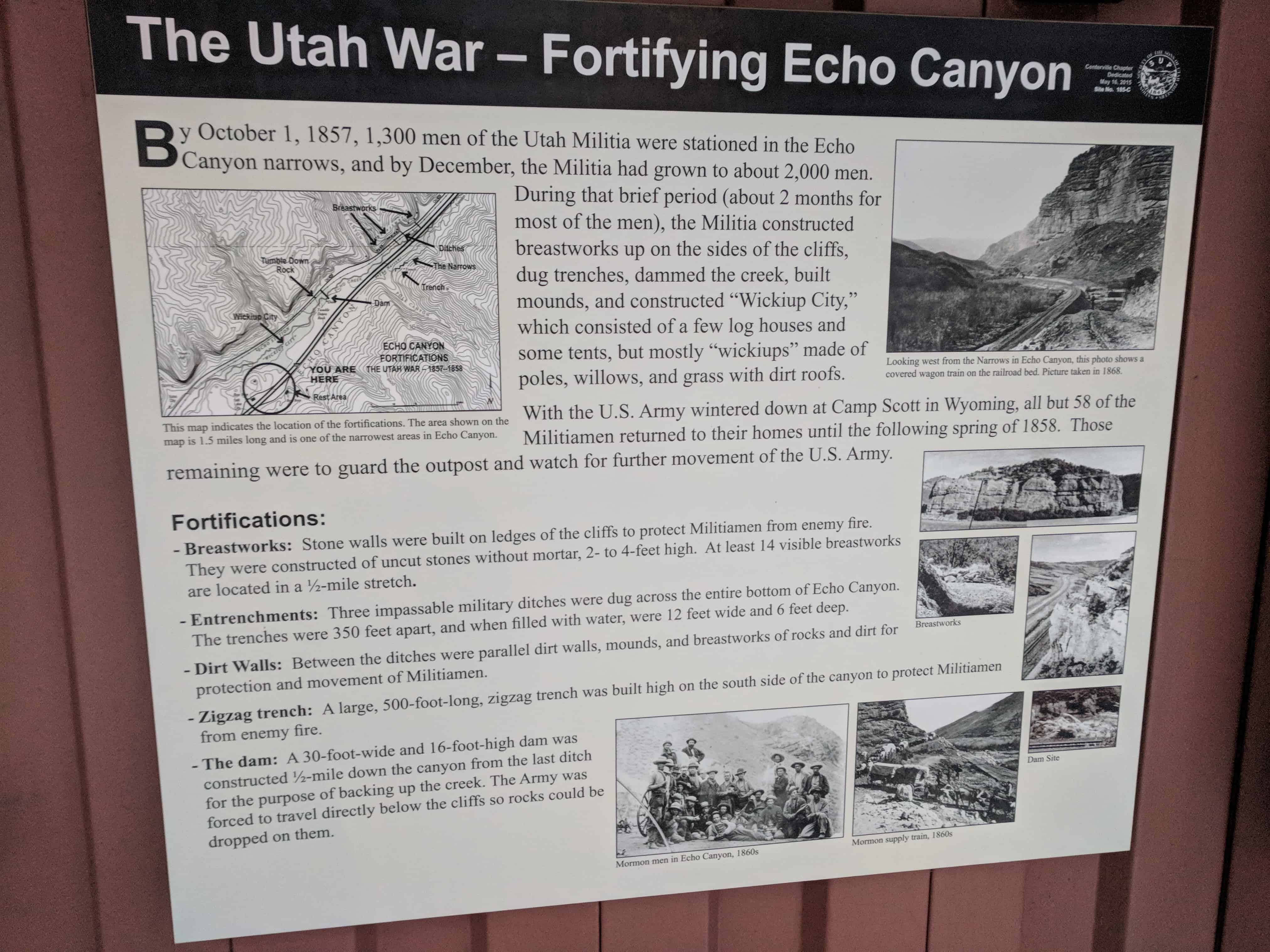
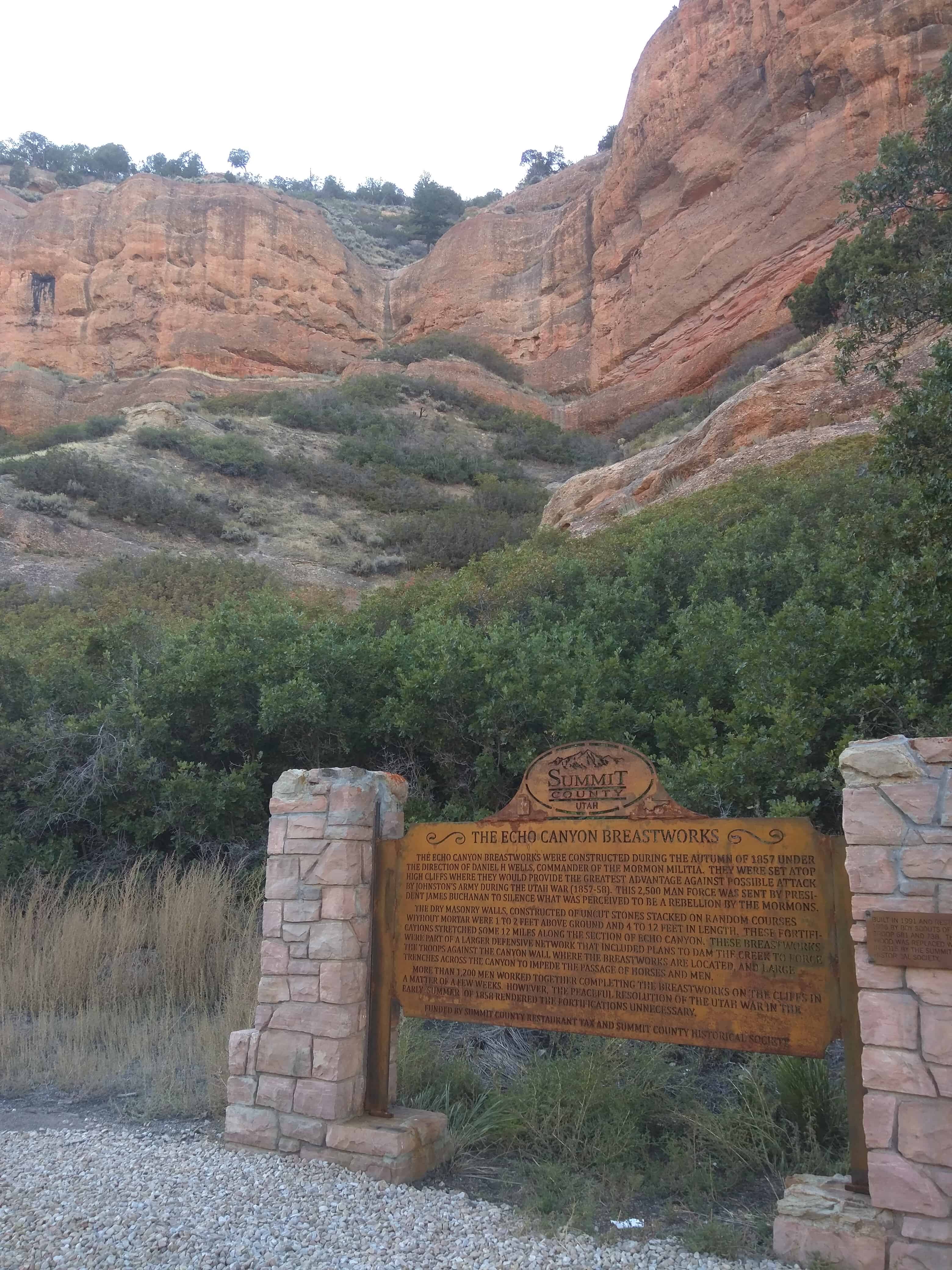
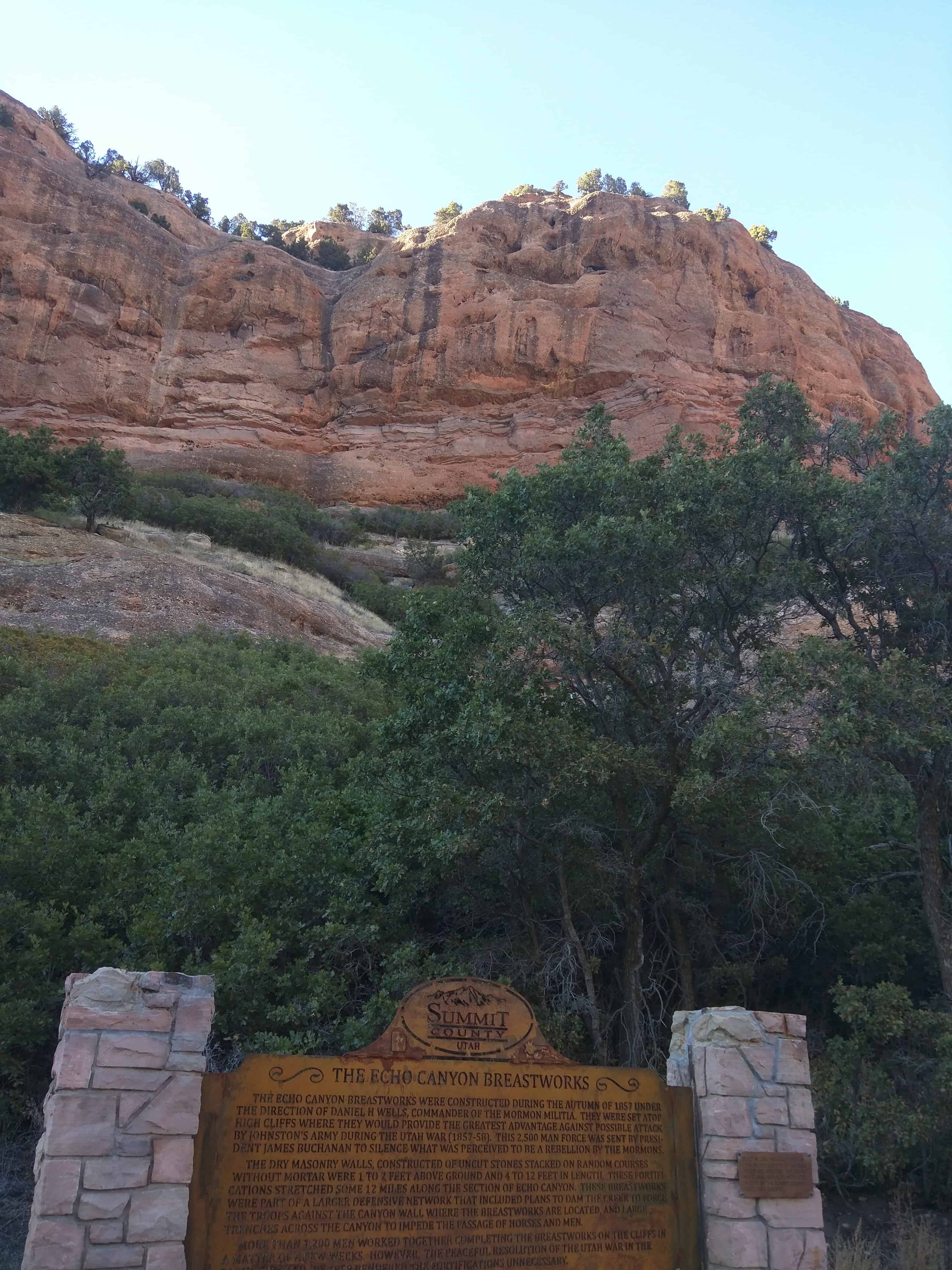
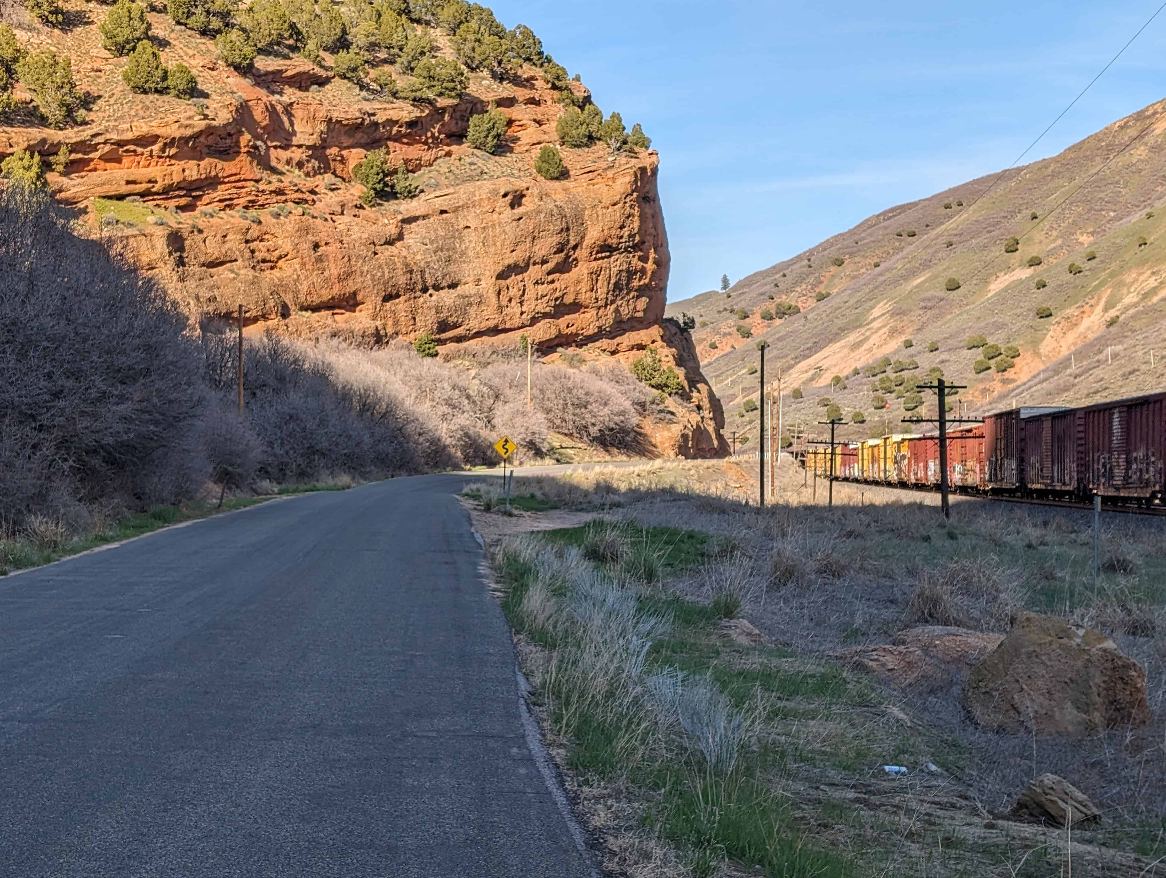
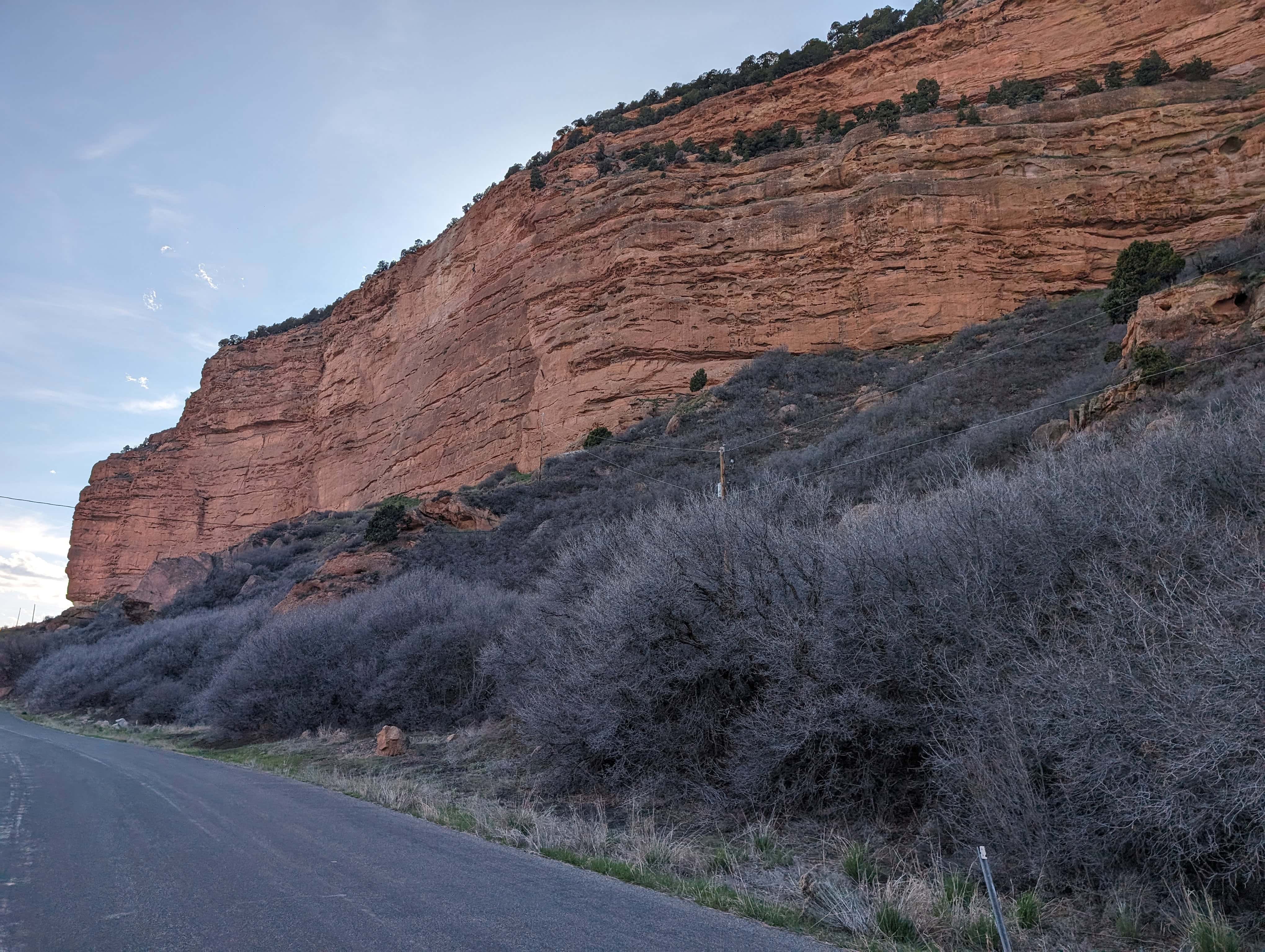
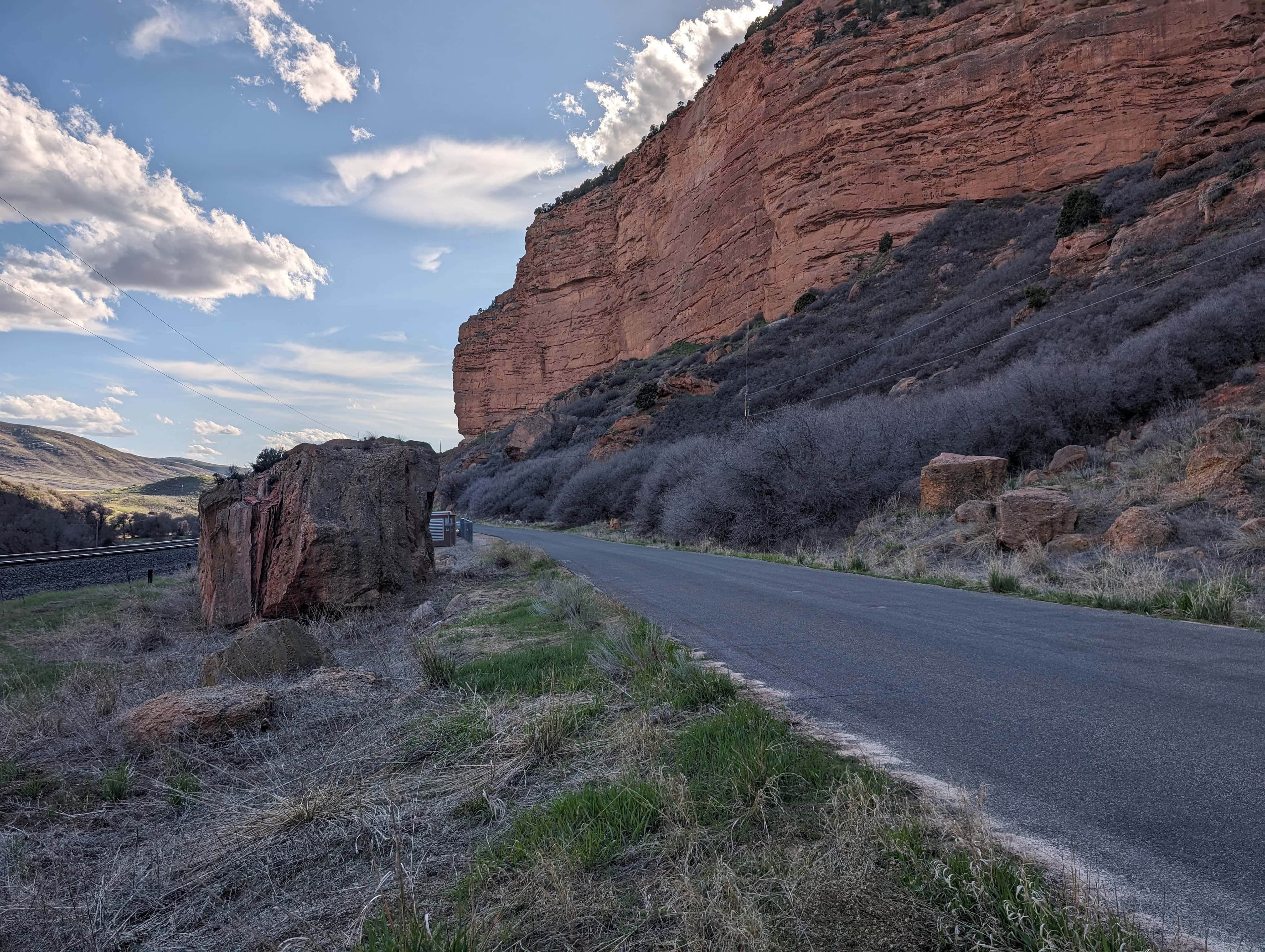
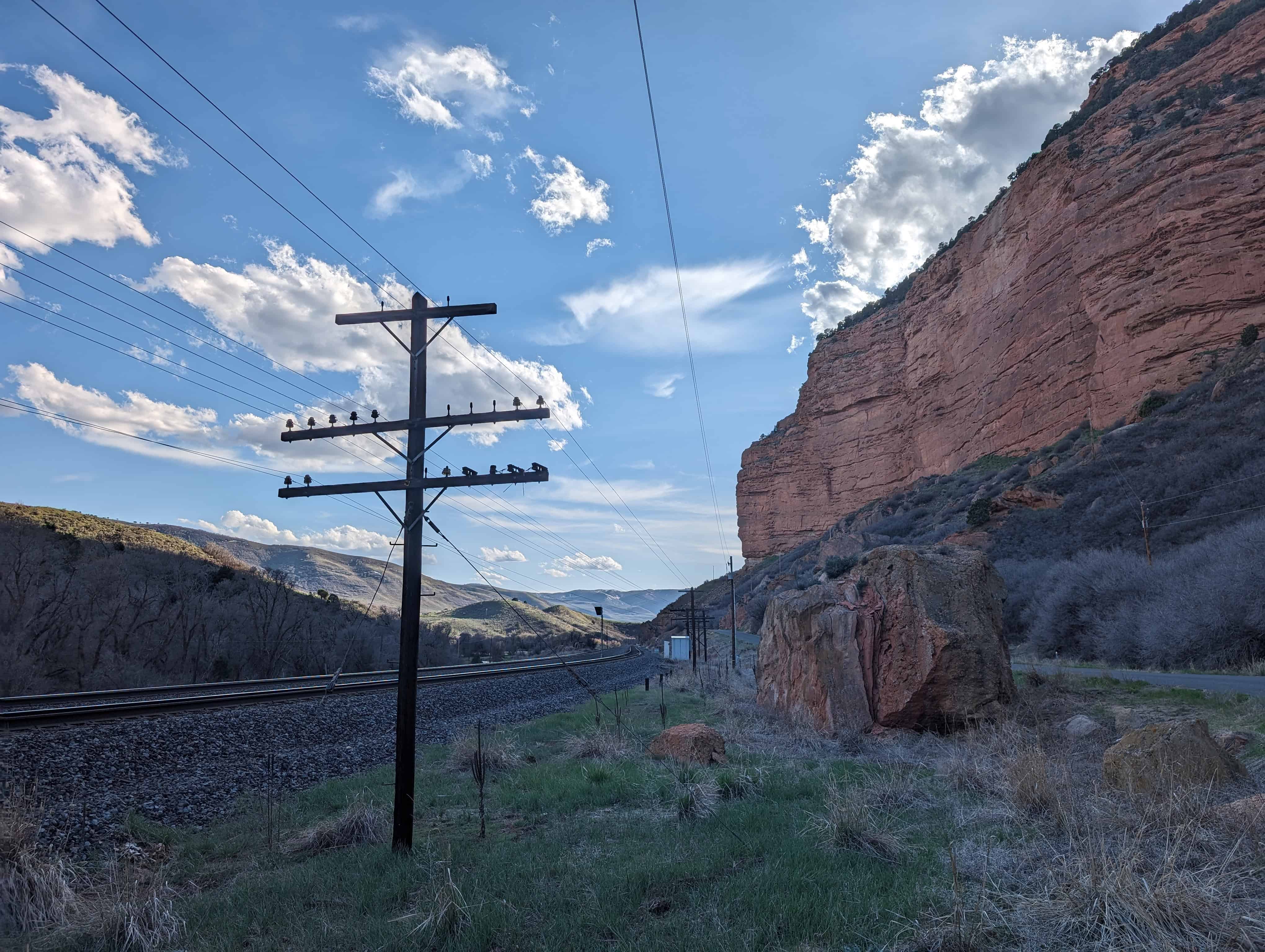
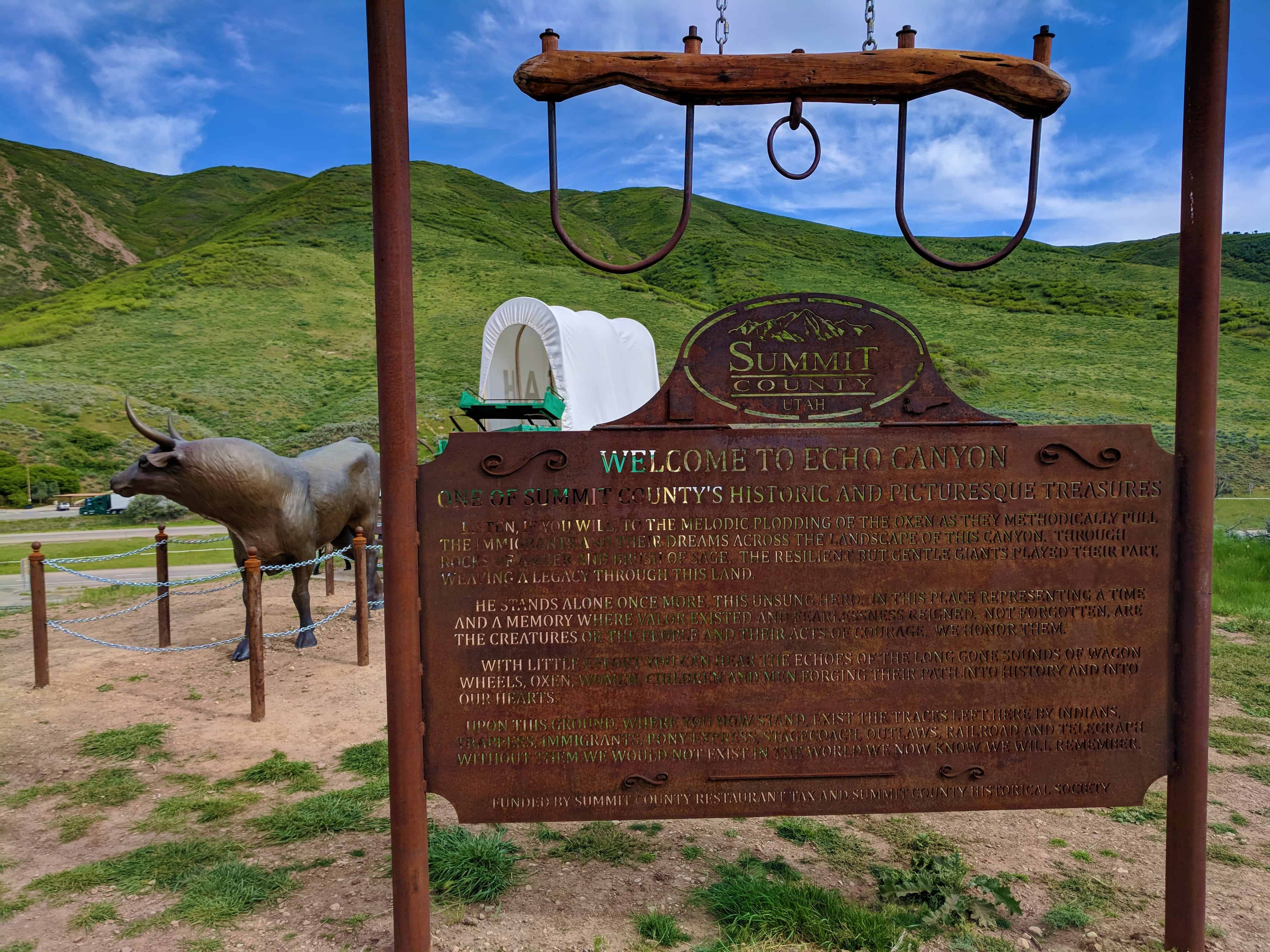
Kane and Cumming were escorted through Echo Canyon by members of the Utah Militia. They were taken through at night to impress Cumming with the fortifications. Bonfires were lit along the mountain ledges to illuminate the high, overhanging walls. The scene was made more ominous by the sharply spoken demands, counter-signs, the clanking of arms, and a campfire. After a group of Militia at the first check point had engaged the incoming Governor, they were (unbeknownst to the Governor) directed to hurry down to the next checkpoint. The Governor was again confronted in military fashion by many of the same people. After a third similar confrontation, the group was allowed to move on to Salt Lake, arriving there on April 7, 1858. Later, Cumming was displeased about his having been deceived.
Governor Cumming was accepted by the people as the new governor and reported the true state of affairs to Washington. President Buchanan sent a peace commission of three men to Salt Lake City who arrived on June 7, 1858, with a pardon from President Buchanan. Brigham Young accepted the pardon. On June 26, 1858, 3,000 soldiers of the U.S. Army, commanded by Colonel Johnston, passed peacefully through Salt Lake and established Camp Floyd, 40 miles south of the City. By mid-1861, the soldiers of the U.S. Army had left Utah Territory to participate in the Civil War.
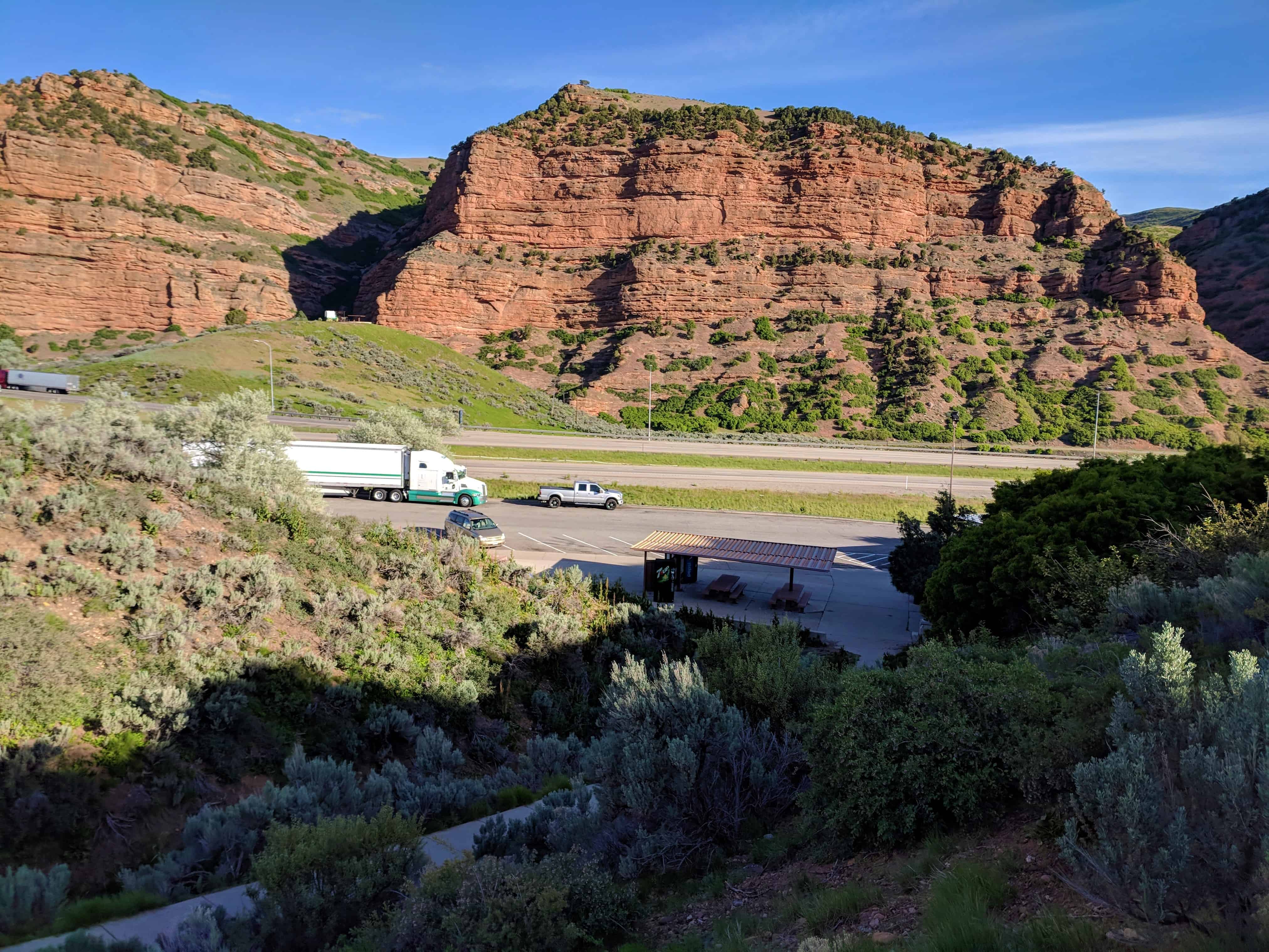
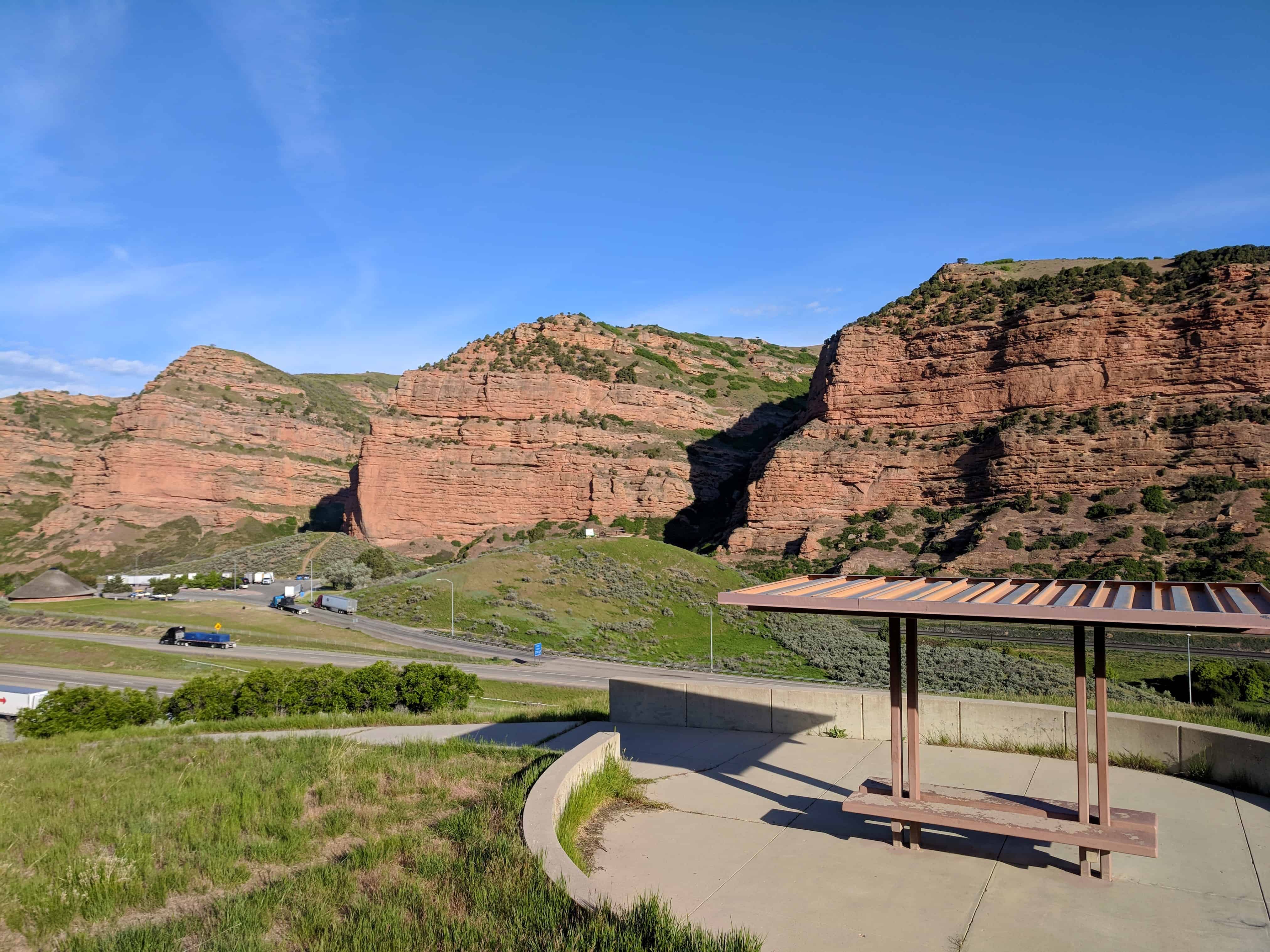
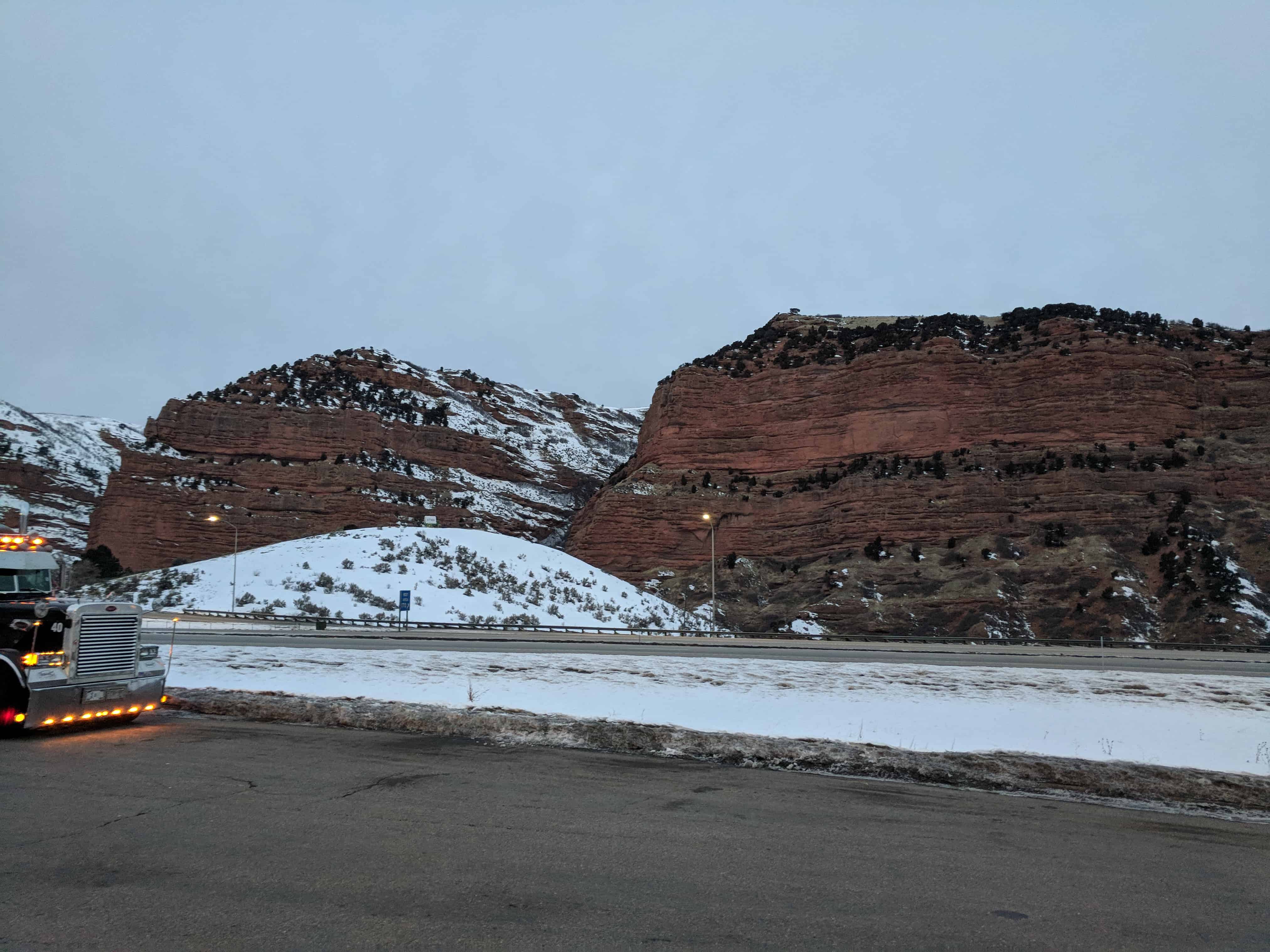
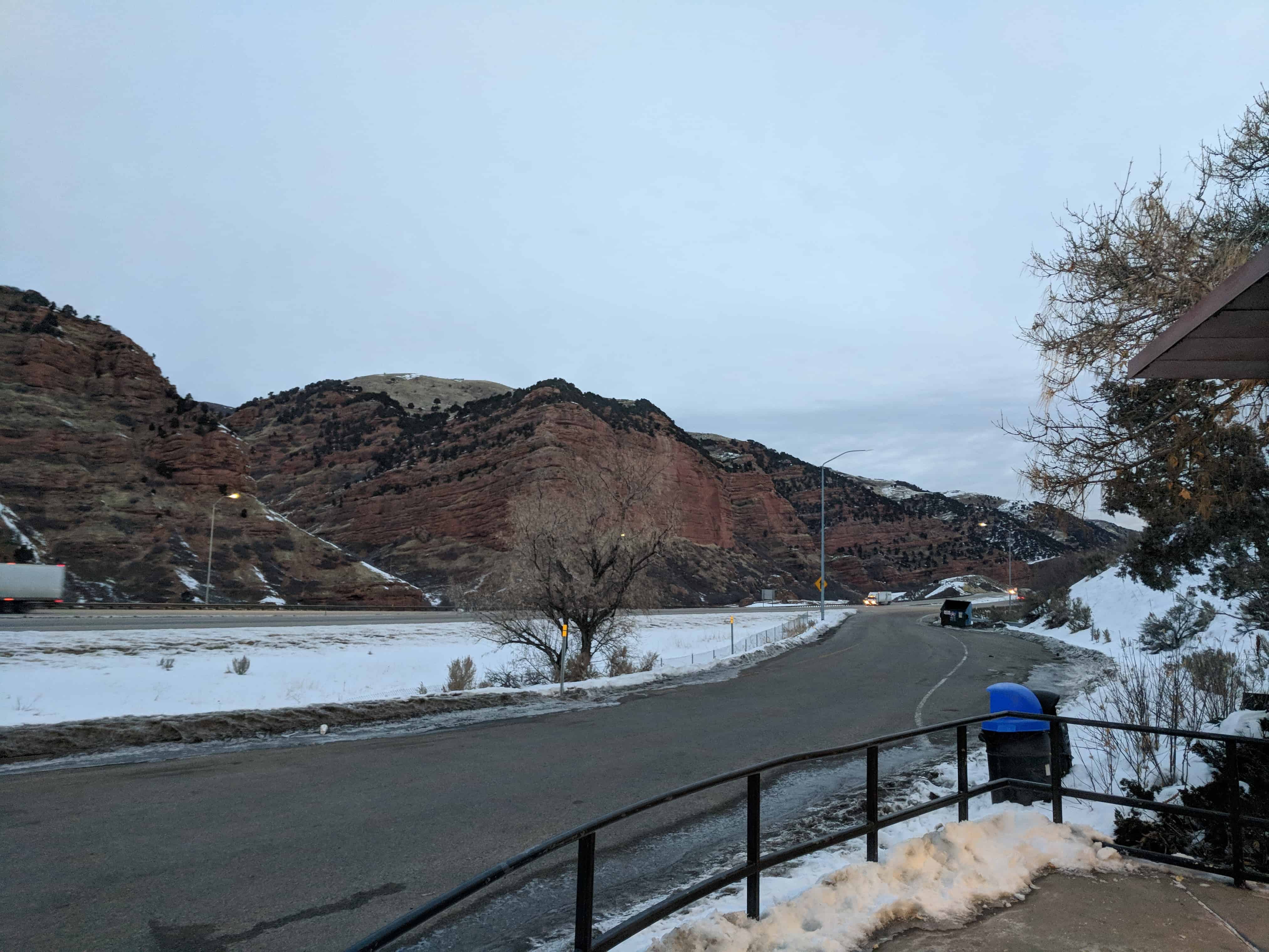
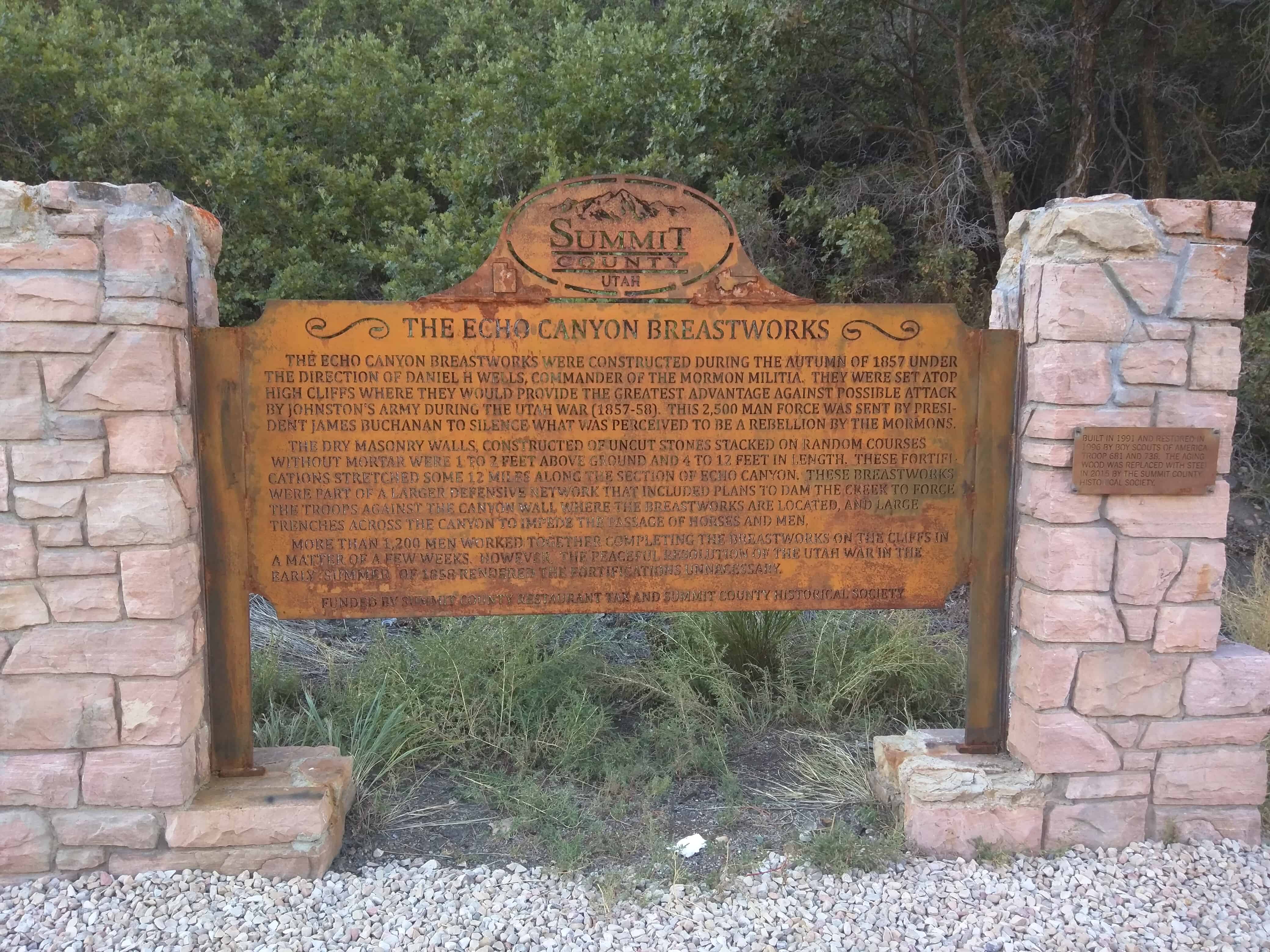
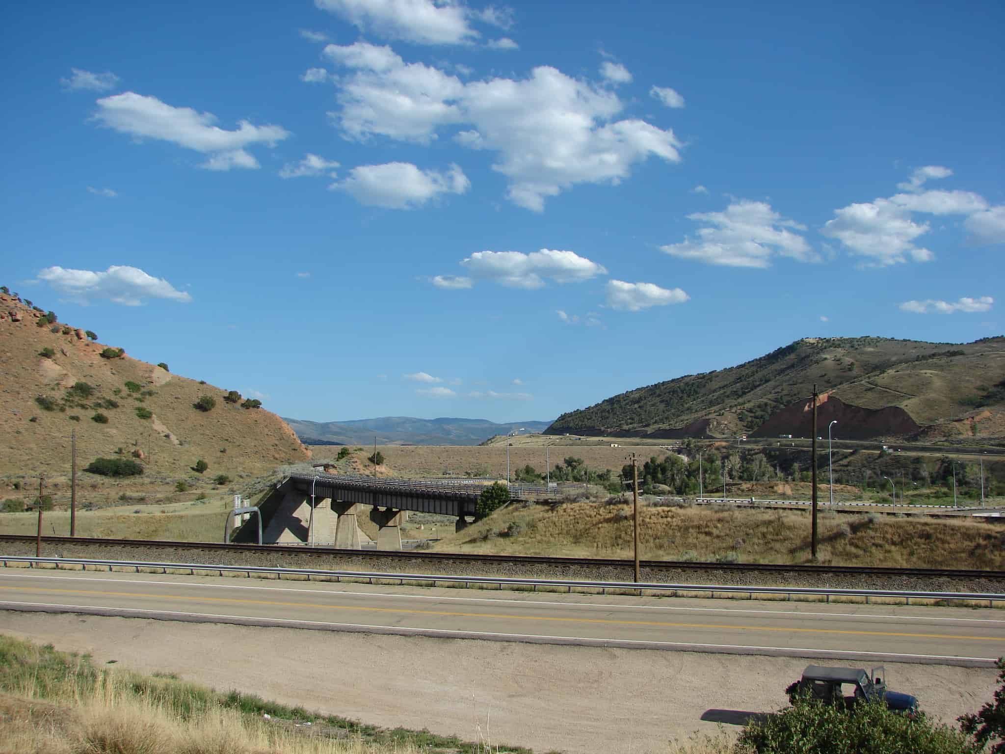
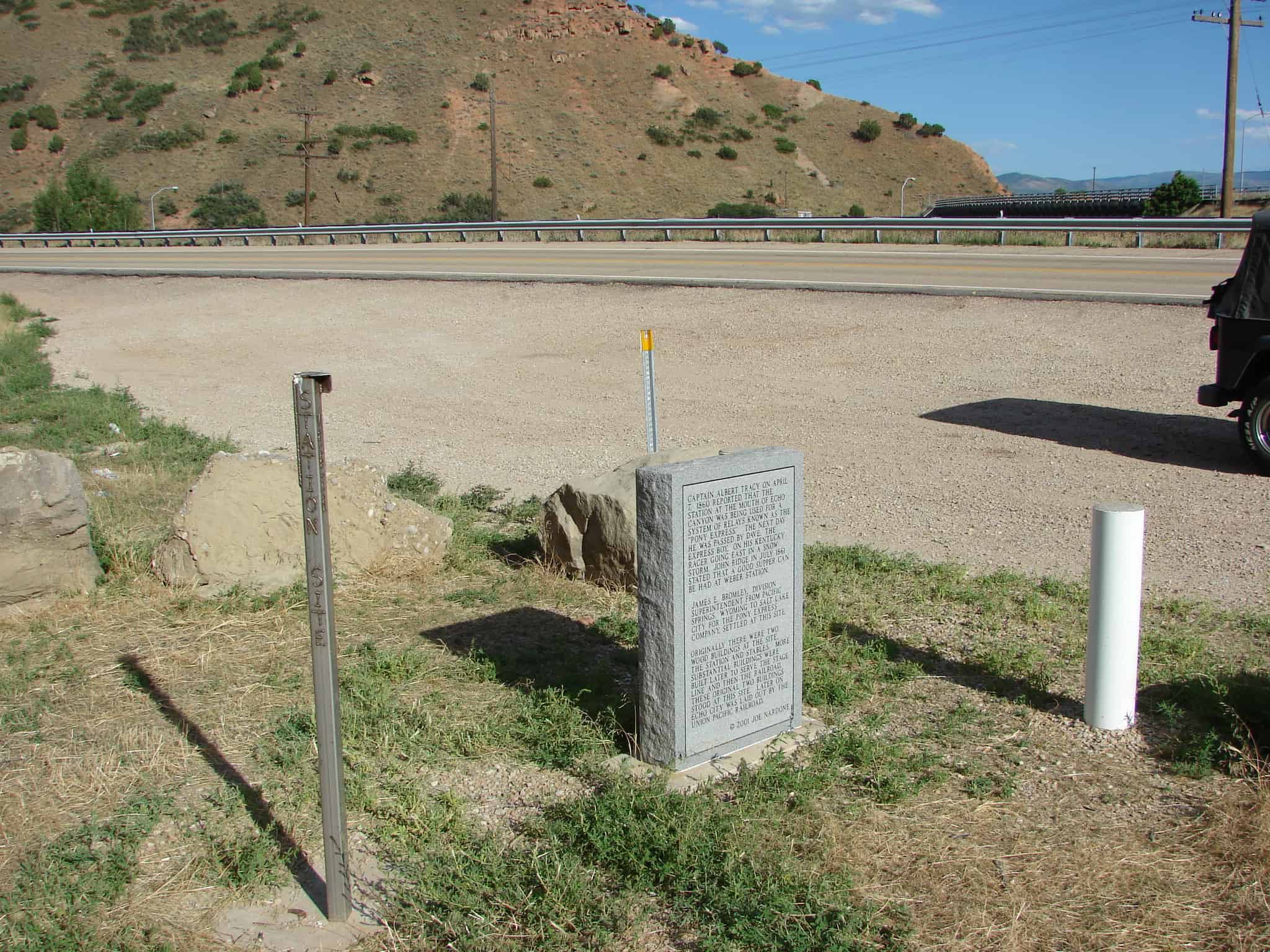
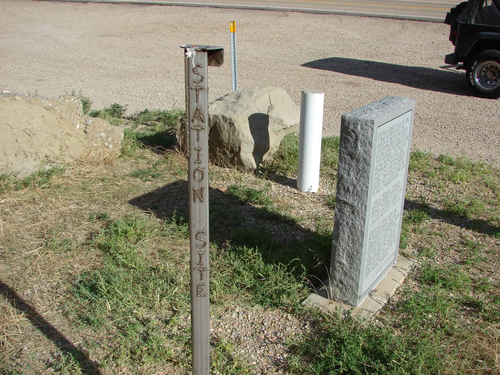
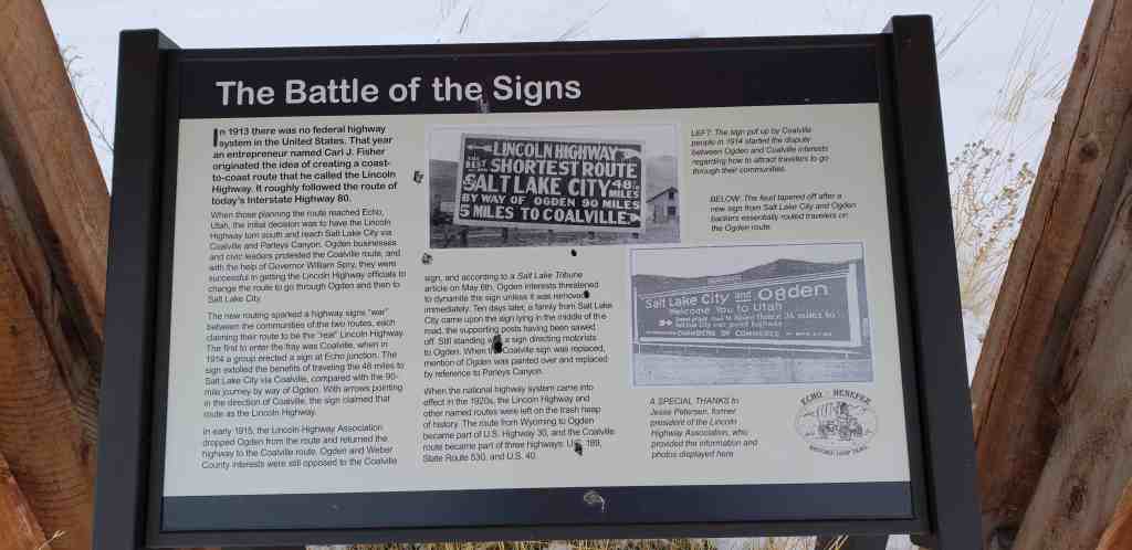
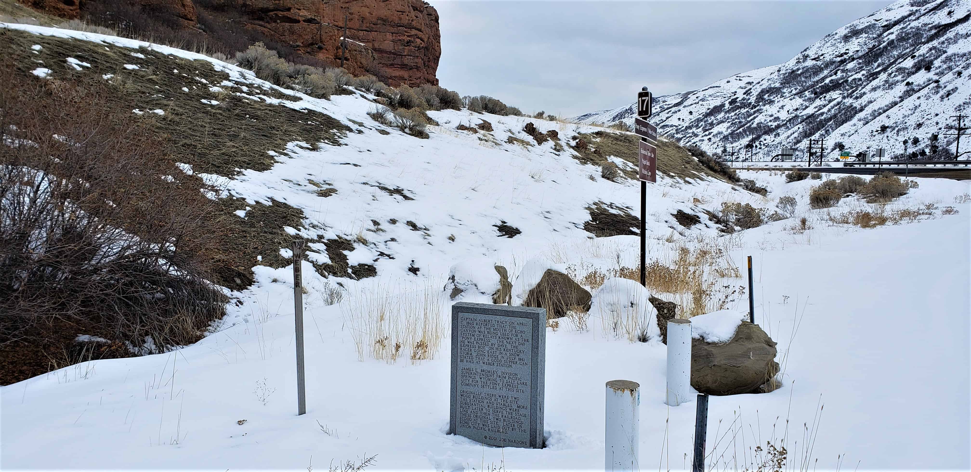
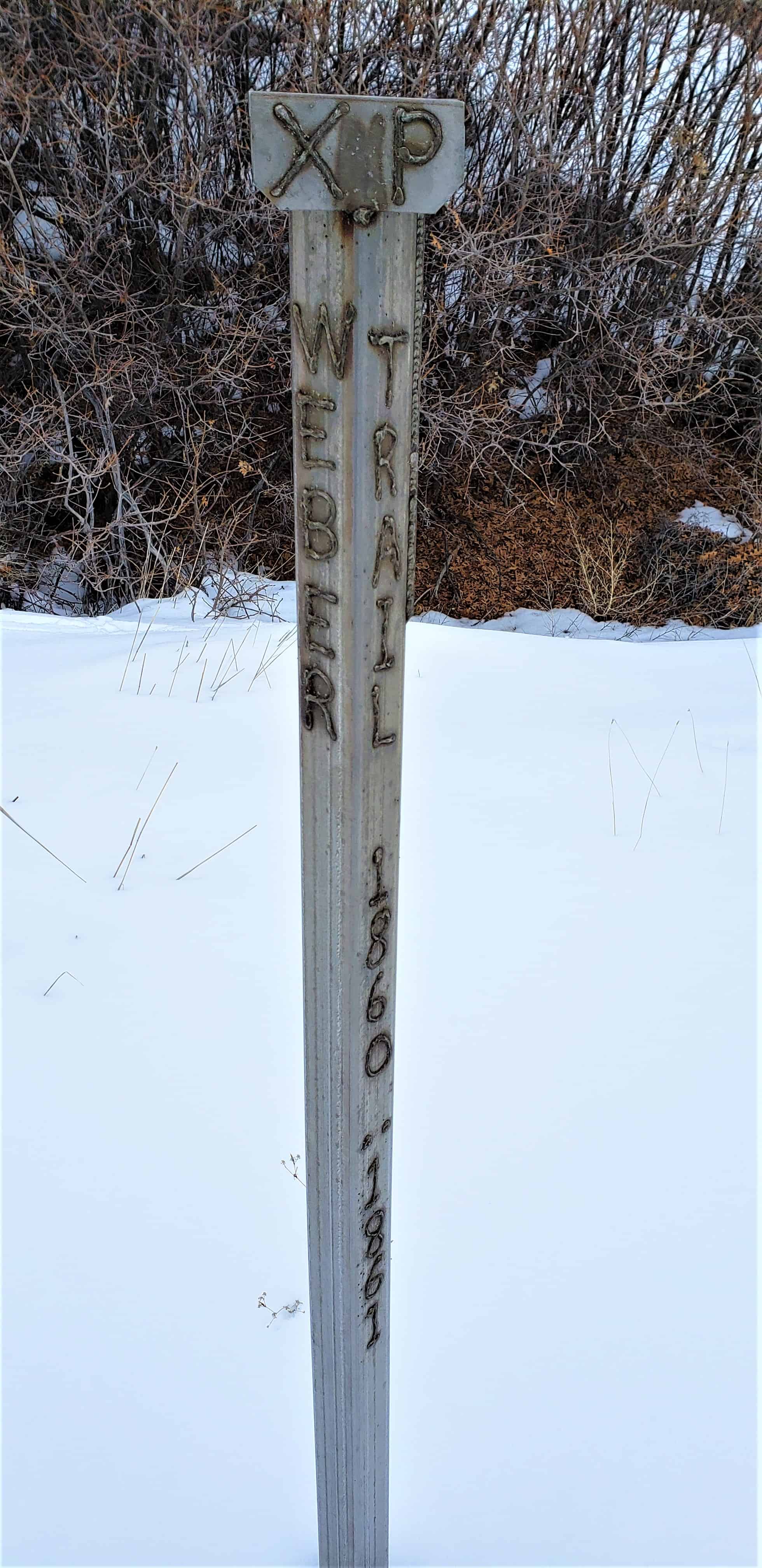
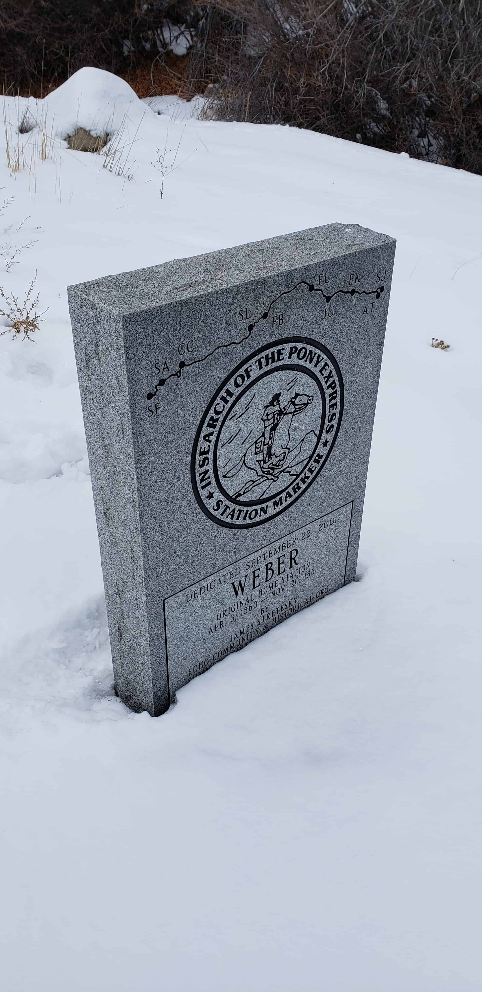
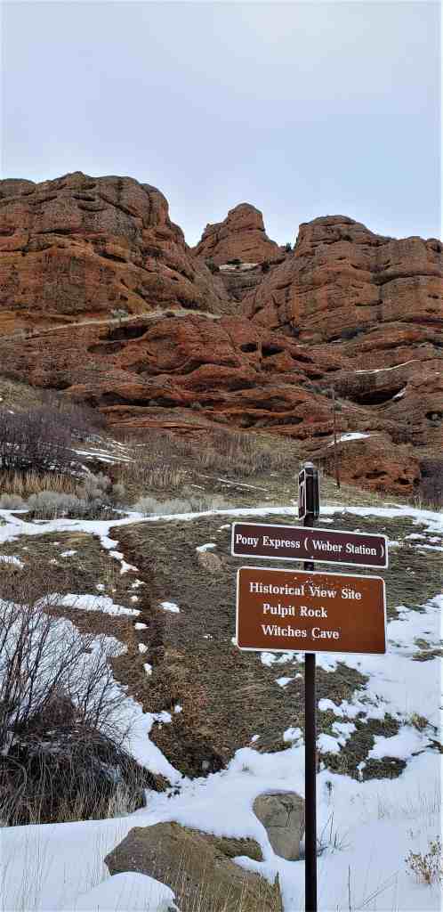
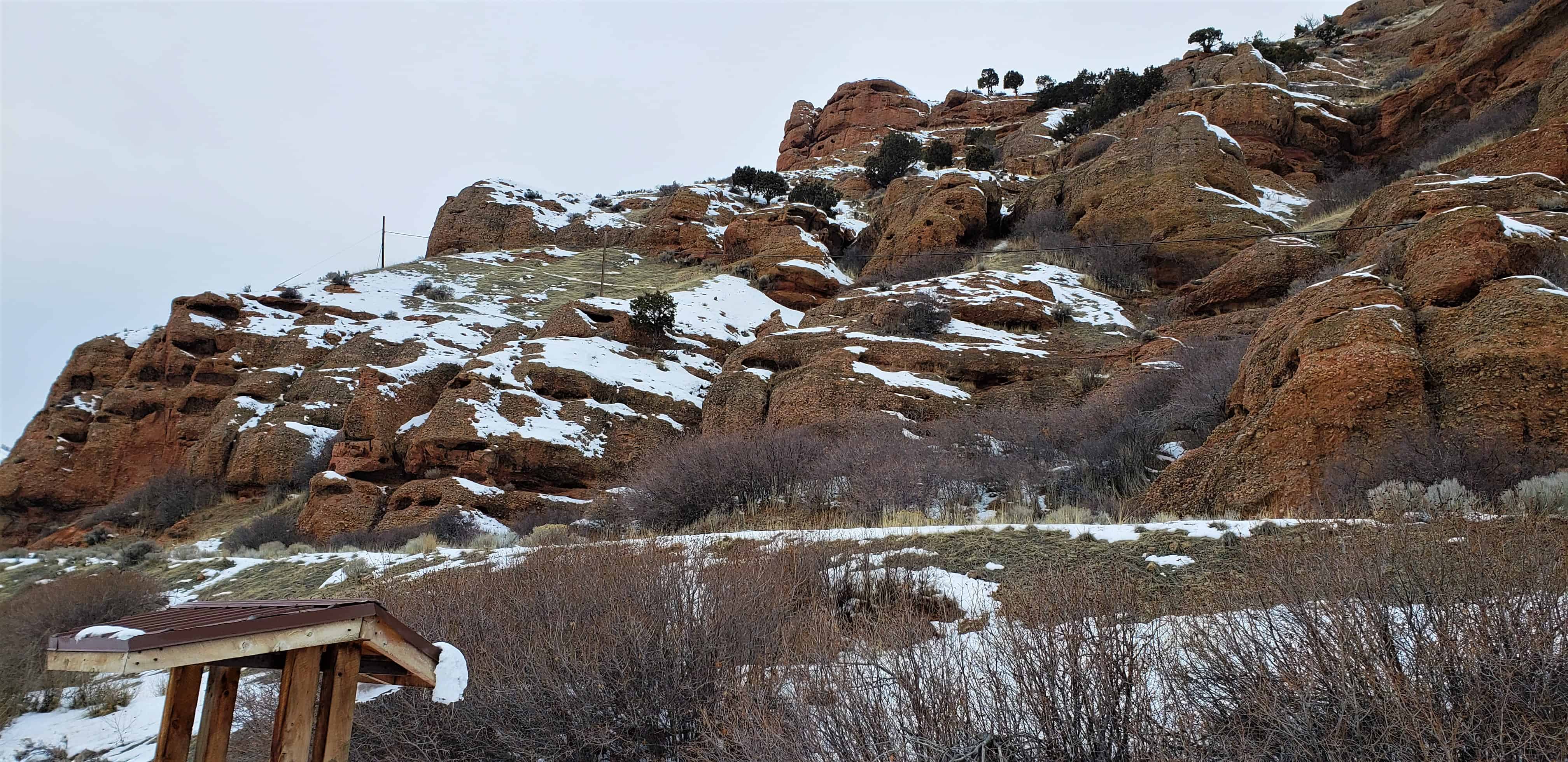
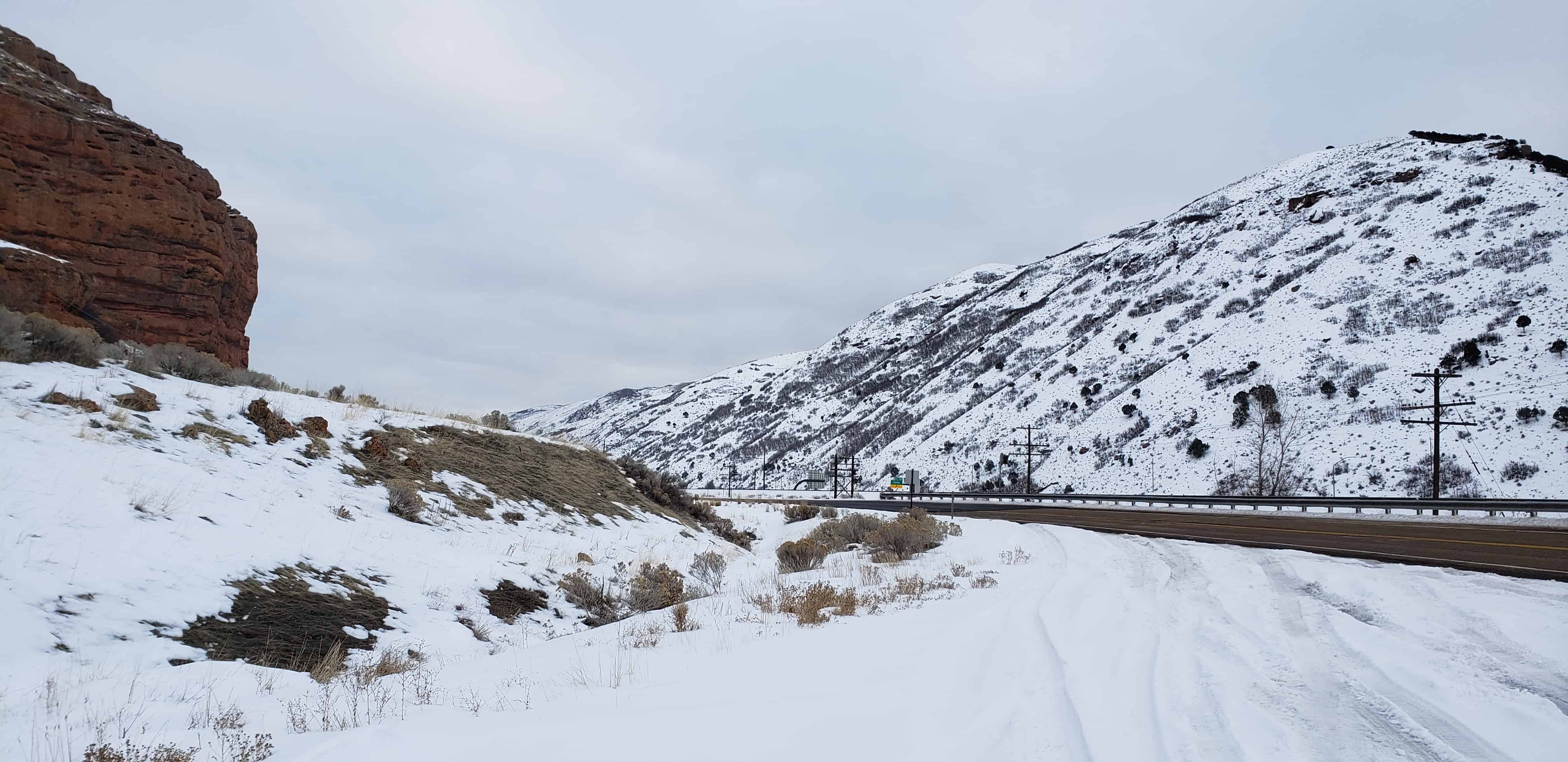
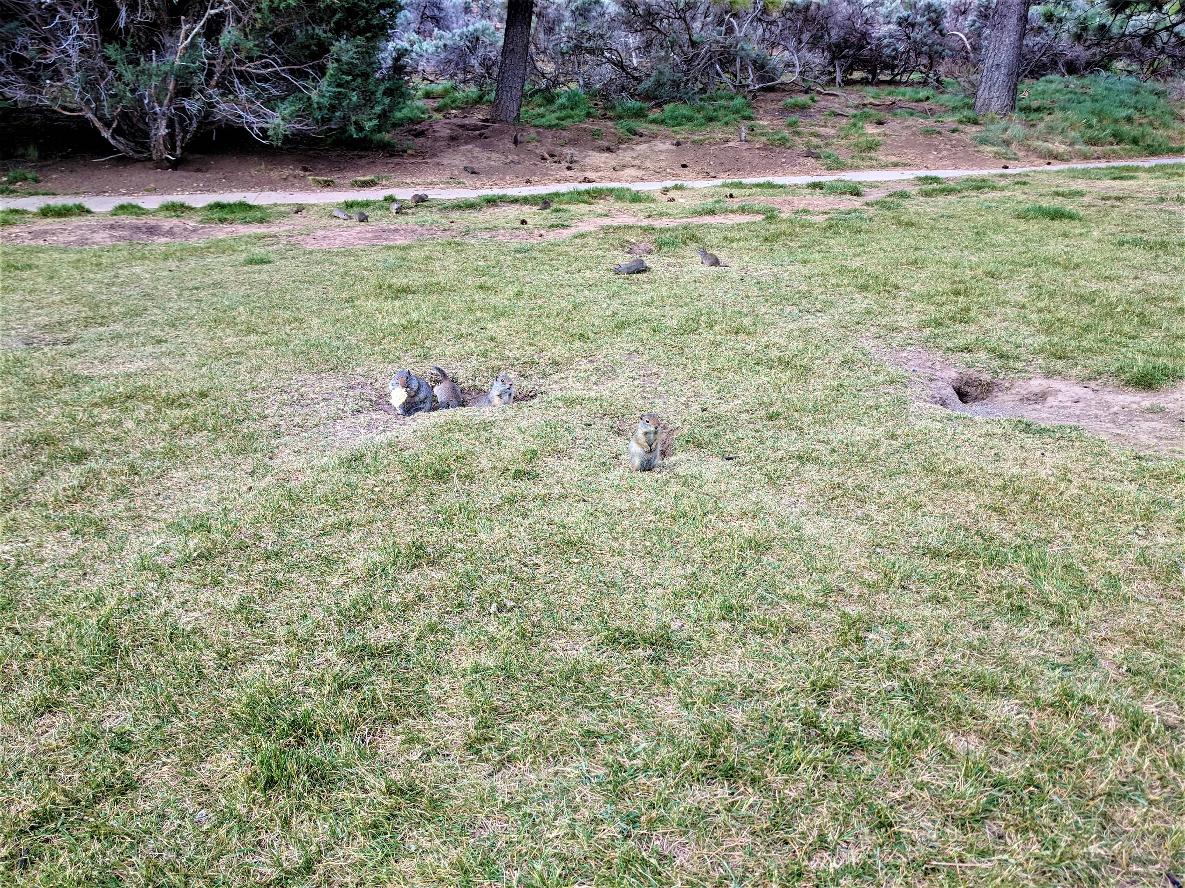
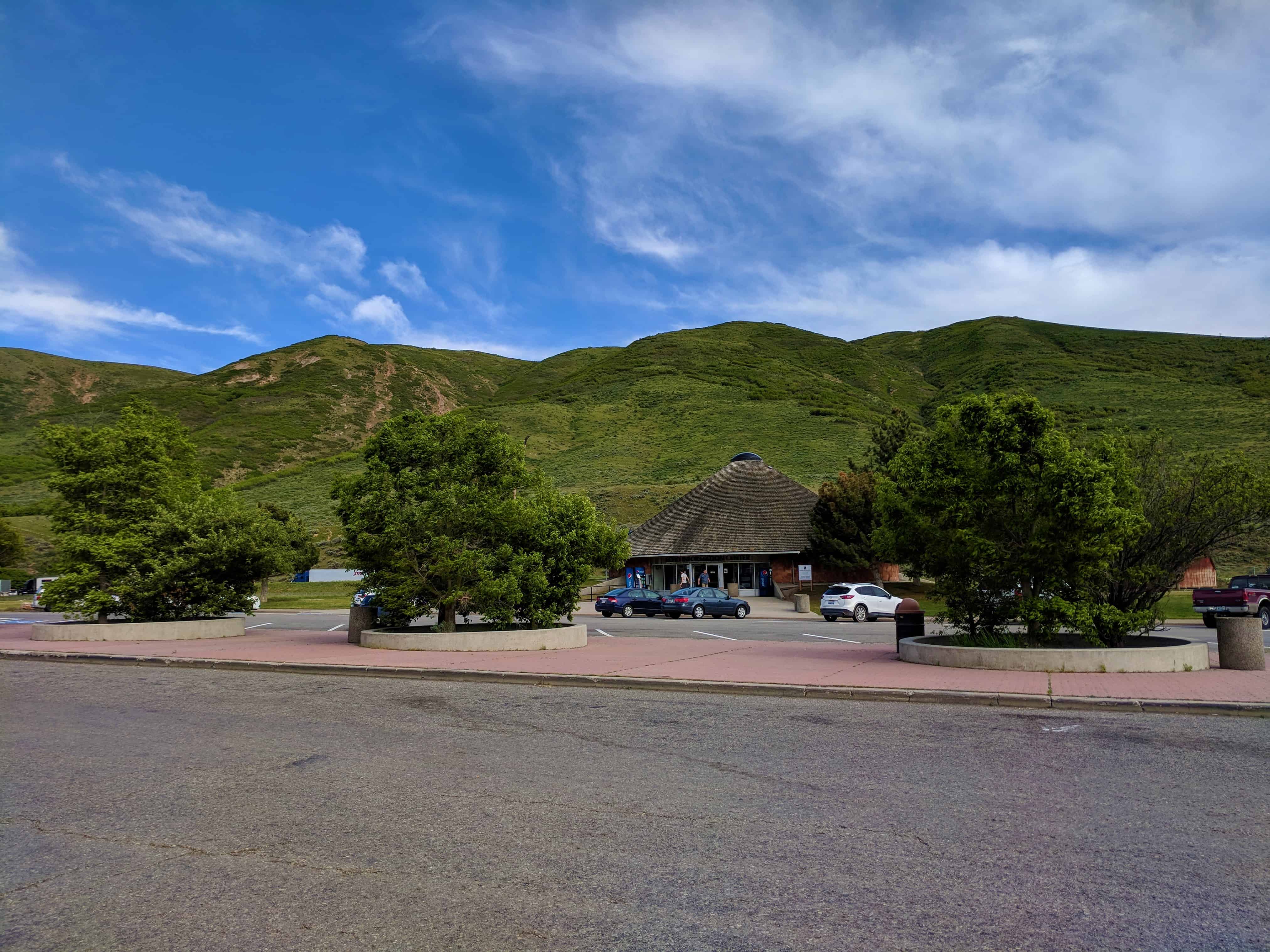
This is part of a cluster of S.U.P. Historic Markers, #185-A, 185-B, 185-C, 185-D located at the eastbound rest stop in I-80 in Echo Canyon. For other S.U.P. Historic Markers see this page.