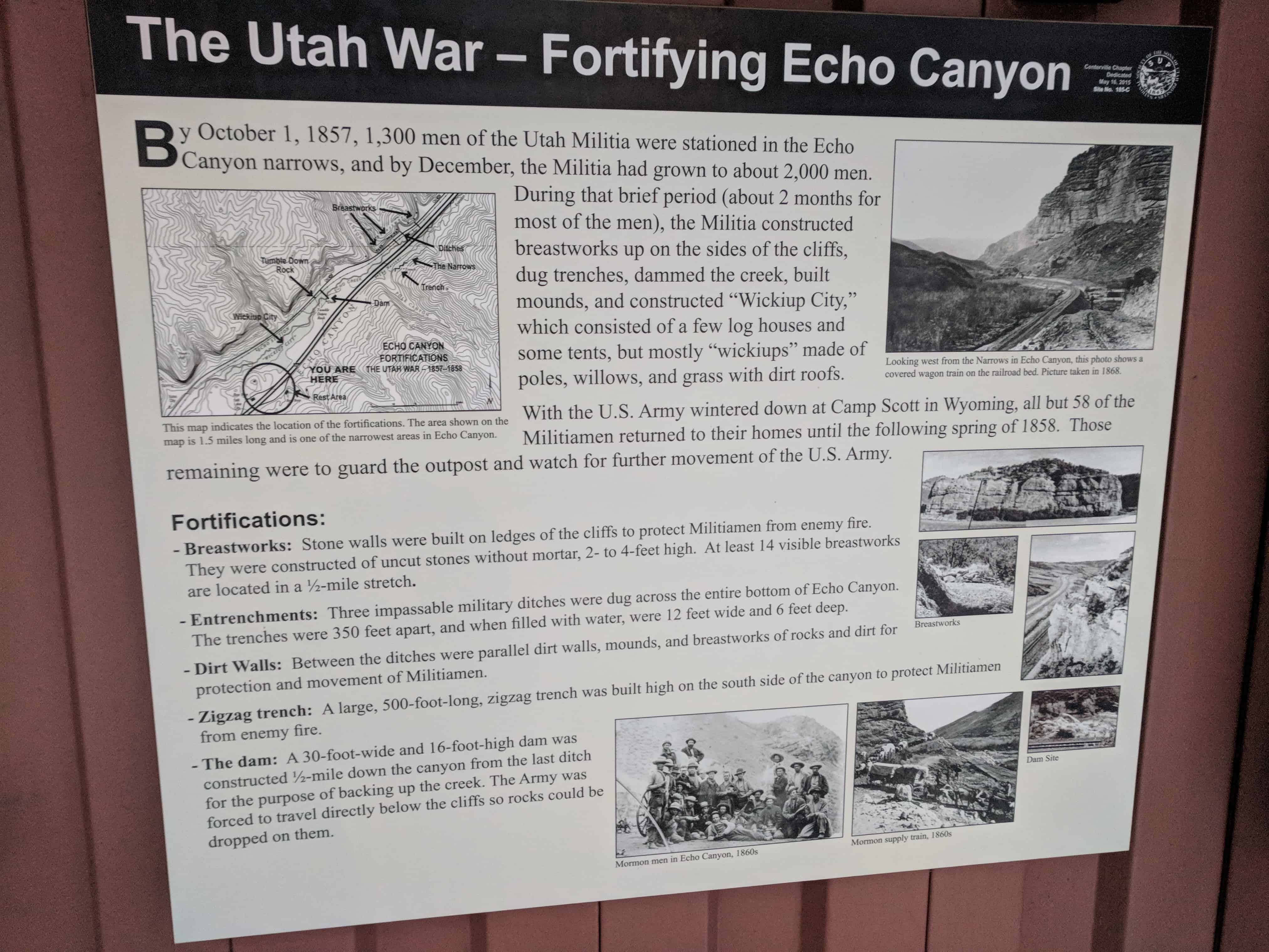
The Utah War – Fortifying Echo Canyon
By October 1, 1857, 1,300 men of the Utah Militia were stationed in the Echo Canyon narrows, and by December, the Militia had grown to about 2,000 men. During that brief period (about 2 months for most of the men), the Militia constructed breastworks up on the sides of the cliffs, dug trenches, dammed the creek, built mounds, and constructed “Wickiup City,” which consisted of a few log houses and some tents, but mostly “wickiups” made of poles, willows, and grass with dirt roofs.
With the U.S. Army wintered down at Camp Scott in Wyoming, all but 58 of the Militiamen returned to their homes until the following spring of 1858. Those remaining were to guard the outpost and watch for further movement of the U.S. Army.
Fortifications:
- Breastworks: Stone walls were built on ledges of the cliffs to protect Militiamen from enemy fire. They were constructed of uncut stones without mortar, 2- to 4-feet high. At least 14 visible breastworks are located in a 1⁄2-mile stretch.
- Entrenchments: Three impassable military ditches were dug across the entire bottom of Echo Canyon. The trenches were 350 feet apart, and when filled with water, were 12 feet wide and 6 feet deep.
- Dirt Walls: Between the ditches were parallel dirt walls, mounds, and breastworks of rocks and dirt for protection and movement of Militiamen.
- Zigzag trench: A large, 500-foot-long, zigzag trench was built high on the south side of the canyon to protect Militiamen from enemy fire.
- The dam: A 30-foot-wide and 16-foot-high dam was constructed 1⁄2-mile down the canyon from the last ditch for the purpose of backing up the creek. The Army was forced to travel directly below the cliffs so rocks could be dropped on them.
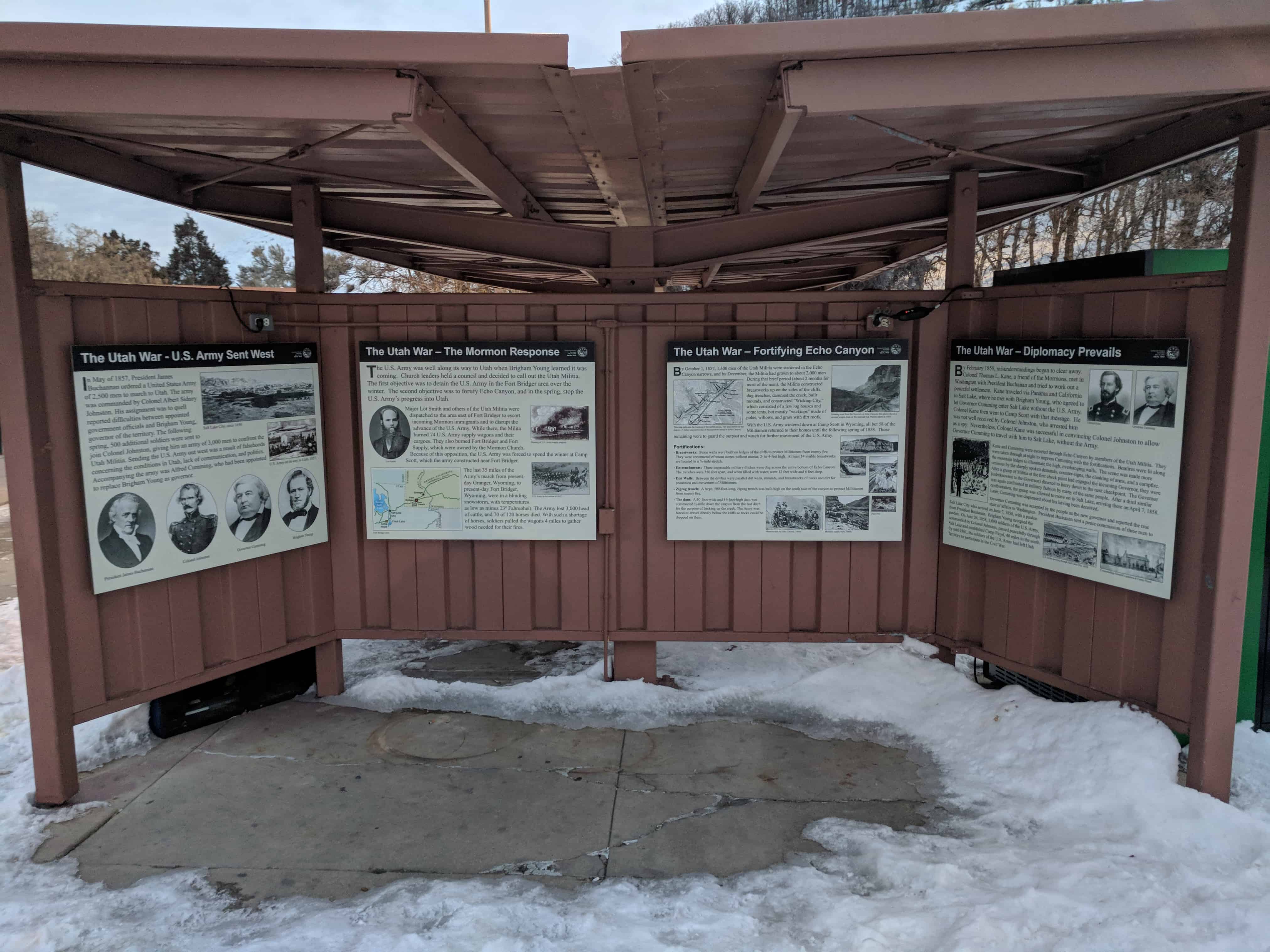
This is part of a cluster of S.U.P. Historic Markers, #185-A, 185-B, 185-C, 185-D located at the eastbound rest stop in I-80 in Echo Canyon. For other S.U.P. Historic Markers see this page.