Tags
Buckskin Tavern
03 Sunday Dec 2023
Posted in Uncategorized

03 Sunday Dec 2023
Posted in Uncategorized
Tags
20 Tuesday Dec 2022
Posted in Uncategorized
Tags

Pipe Springs National Monument
Fifteen miles southwest of historic “Pipe Springs” early pioneer outpost and first telegraph station in Arizona.


This is U.P.T.L.A. historic marker #29, located in Fredonia Roadside Park in Fredonia, Arizona and erected September 2, 1933.
20 Tuesday Dec 2022
Posted in Uncategorized
Tags

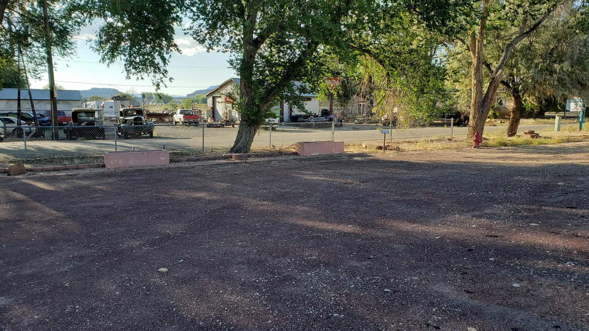
Fredonia Roadside Park
Located here:


19 Monday Dec 2022
Posted in Uncategorized

Prickly Pears and Pinon Nuts
A worn and hungry band of Spanish explorers made camp at Johnson Wash, six miles to the east, on October 21, 1776. Fathers Dominguez and Escalante called it Santa Barbara. They found no water for horses or the men who were subsisting on meager supplies of pinon nuts and prickly-pear cakes obtained in trade from the local Paiutes.
The Spaniards had already spent nights without water and only minimal nourishment. Lorenzo de Olivares was nearly mad with thirst after eating too many of the salty cactus cakes. He disappeared that evening stumbling up the wash. Having worried about their companion all night, the padres found him the next morning at some small pools near the base of the red Shinarump Cliffs to the north.
The territory known as the Arizona Strip confronted the expedition with some of its most brutal difficulties. Wandering first southeasterly then north, without the aid of native guides, they struggled through a harsh and rutted land searching for the Ute crossing of the Colorado River.
Dominguez and Escalante returned to Santa Fe in January, 1777 after exploring much of what is now the Four Corners region but having failed in their effort to open a land route to Spanish settlements at Monterey.

04 Tuesday Oct 2016
Posted in Uncategorized
Tags

Fredonia is Arizona’s northernmost town and the gateway to the North Rim of the Grand Canyon.
The Anasazi or Basket Makers were the first inhabitants in the area. Their presence is marked by ancient ruins in the cliffs throughout Arizona.
Fredonia was originally started in 1885 as a business venture by five men who invested time, money, and energy to build a dam so they could create farmland under irrigation.
Related:


