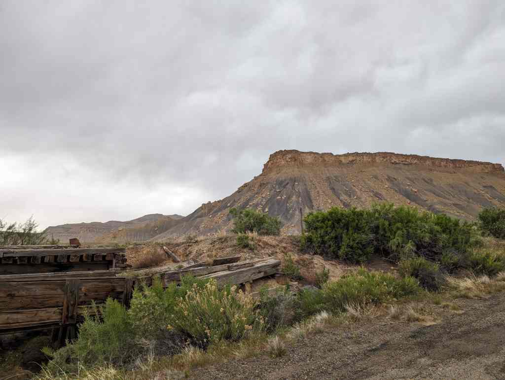
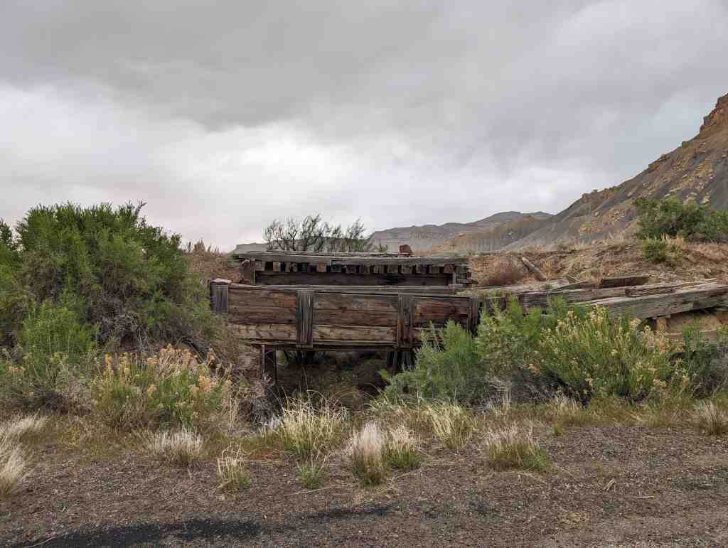
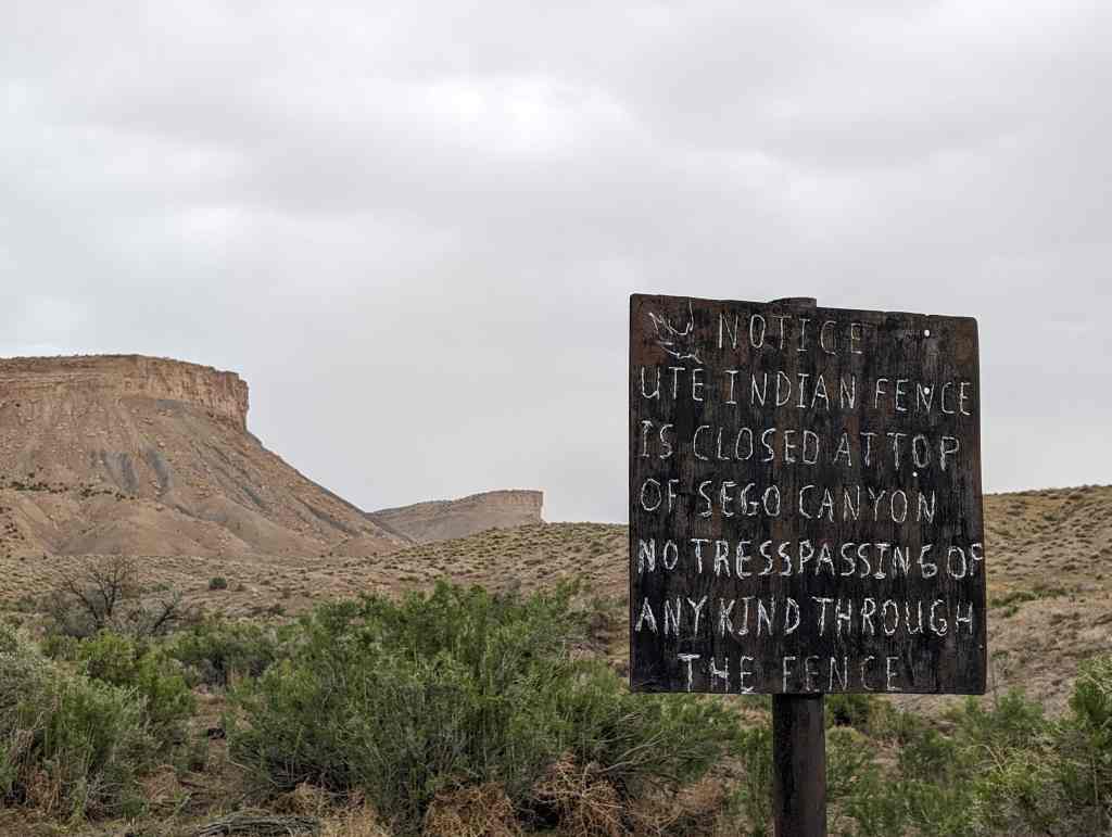
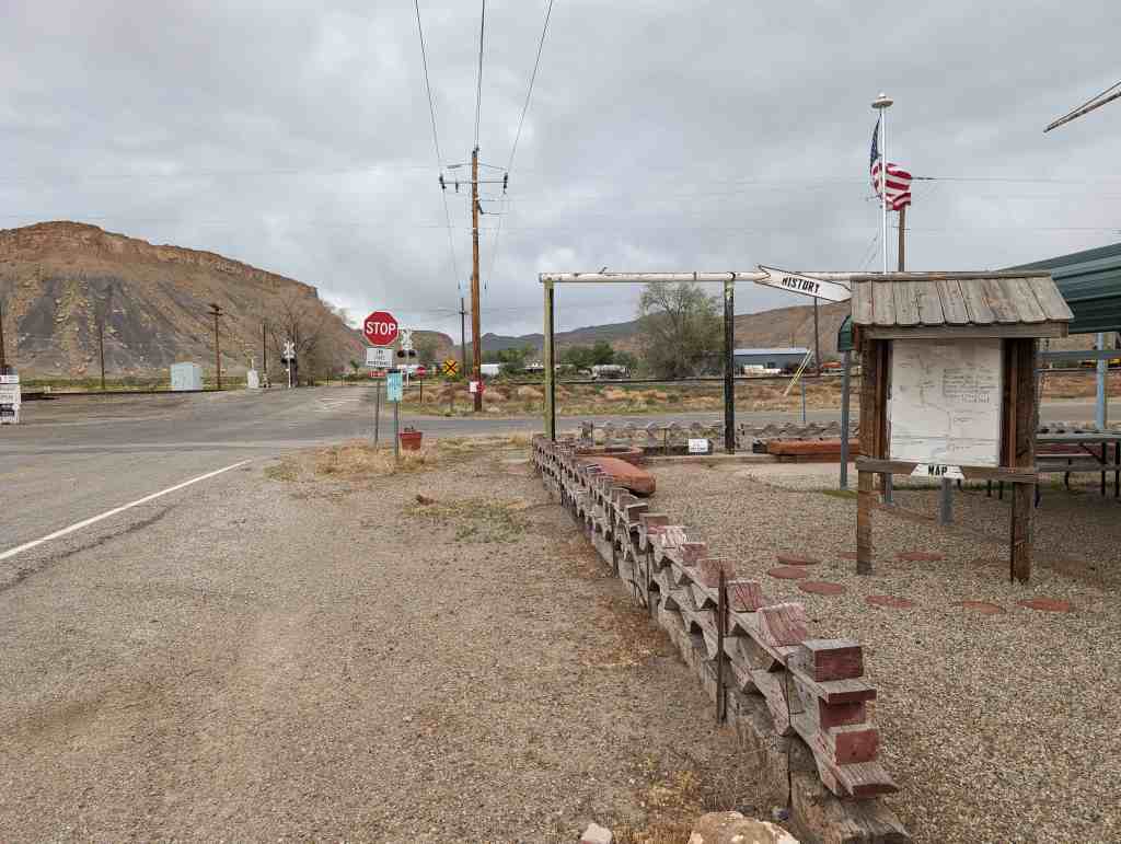
Sego boasted a population of nearly 500 people more than 80 years ago. Located in Sego Canyon five miles north of Thompson Springs, Sego began its existence as a coal mining camp for American Fuel Company workers who had begun working Henry Ballard’s coal mine in the Book Cliffs area around 1912. The coal from the mine was loaded onto railroad cars and transported down a five-and-a-half mile railroad spur to Thompson. The town was originally known as Neslen at first, and was notable for its racially segregated housing. In 1918, the town’s name was changed to Sego (in honor of Utah’s state flower) when Chesterfield Coal Company bought out AFC. The mine, which struggled financially throughout much of its existence, closed for good in 1947. Today, a few ramshackle buildings remain, including the old store, a two-story wooden boarding house, along with a few dugout cabins, an explosives bunker, and several old foundations.(*)
Castleton was a bustling mining supply center located not far from the present day town of Castle Valley. It was reportedly first settled by Doby Brown, a prospector, in the early 1880s. A post office was established in Castleton in 1882, and numerous other buildings soon followed. Castleton not only boomed along with Miner’s Basin, it also died along with it when the mines closed in 1907. Today, the remains of Castleton can be seen some 10 miles southeast of the Castle Valley turnoff of state highway 128.(*)
At its peak in 1895, the population exceeded that of Moab. In fact, when Grand County was organized in 1890, Castleton vied with Moab for the chance to be county seat.
Miners Basin, also known as simply Basin, was a mining town at over 10,000 feet elevation on Mt. Waas in the La Sal Mountains. With a peak population of about 75 or 80, the town flourished for about 20 years after gold was discovered there in the late 1880s. The first claims were staked in the area around 1888, and a formal mining district was organized 10 years later. Silver and copper were also mined in limited quantities, in addition to gold. At its heyday, the town boasted a hotel, a store, two restaurants, a blacksmith shop, a post office, and two saloons. However, the mines were closed in 1907 as a result of a nationwide financial panic, and the town died shortly thereafter. Even so, a few diehard miners remained on the mountain for decades afterward. A few log cabins and other structures still remain in the area.(*)
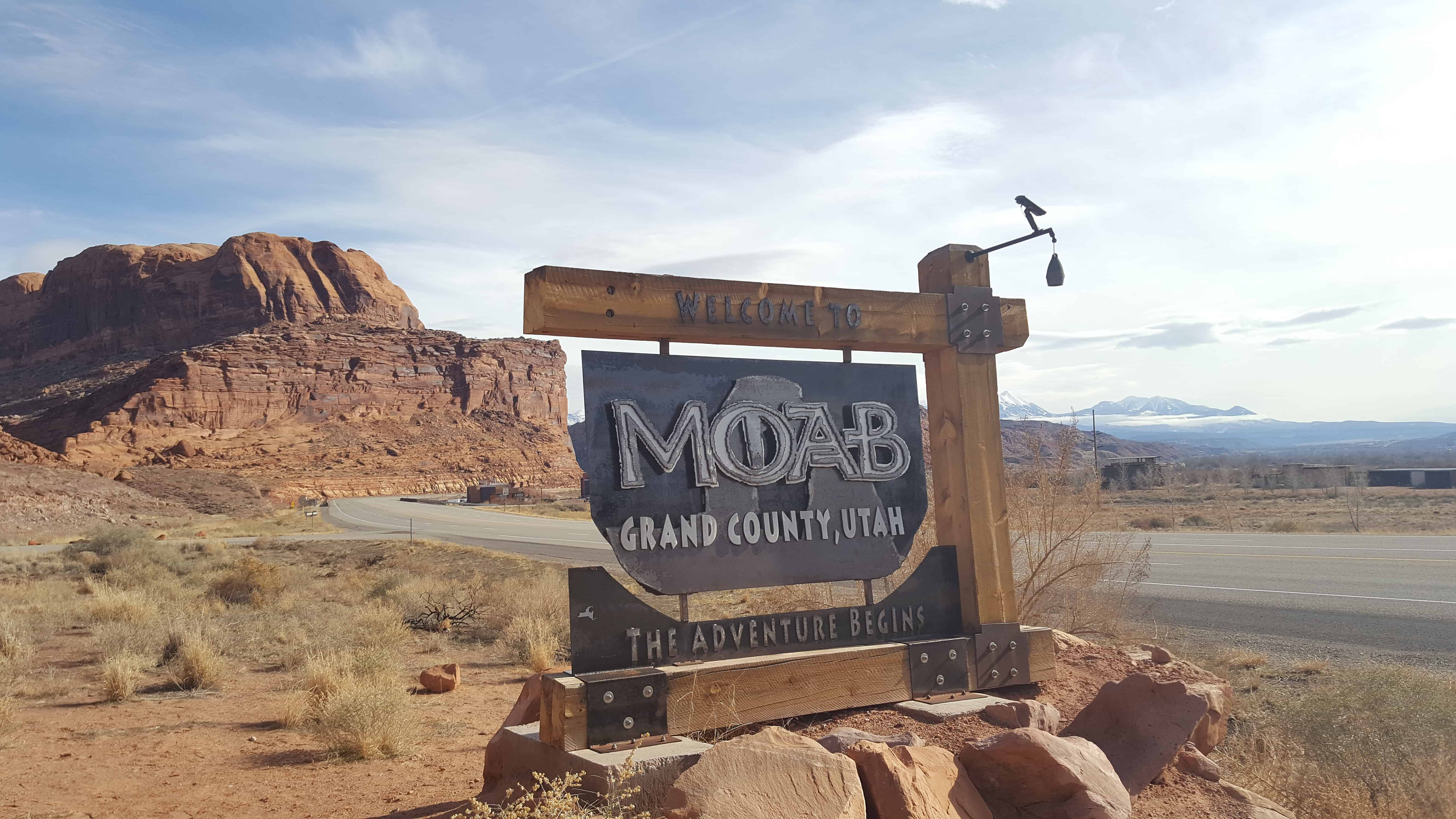
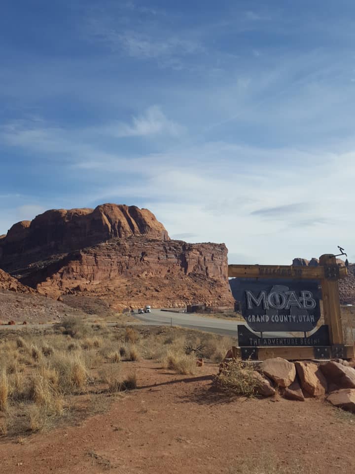
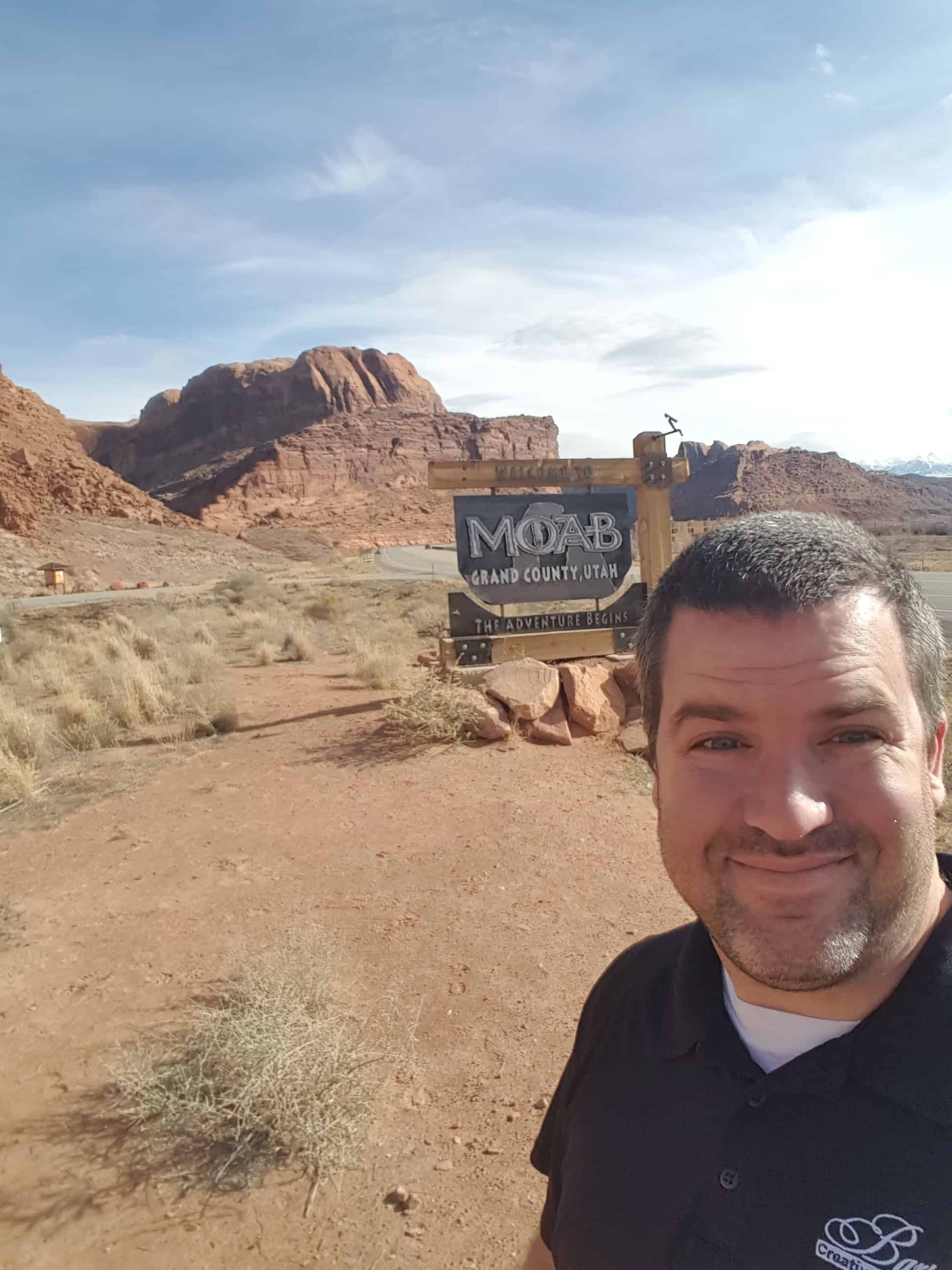
During the period between 1829 and the early 1850s, the area around what is now Moab served as the Colorado River crossing along the Old Spanish Trail. Latter-day Saint settlers attempted to establish a trading fort at the river crossing called “Elk Mountain Mission” in April 1855 to trade with travelers attempting to cross the river. Forty men were called on this mission. There were repeated Indian attacks, including one on September 23, 1855 in which James Hunt, companion to Peter Stubbs, was shot and killed by a Native American. After this last attack, the fort was abandoned. A new round of settlers established a permanent settlement in 1878. Moab was incorporated as a town on December 20, 1902.
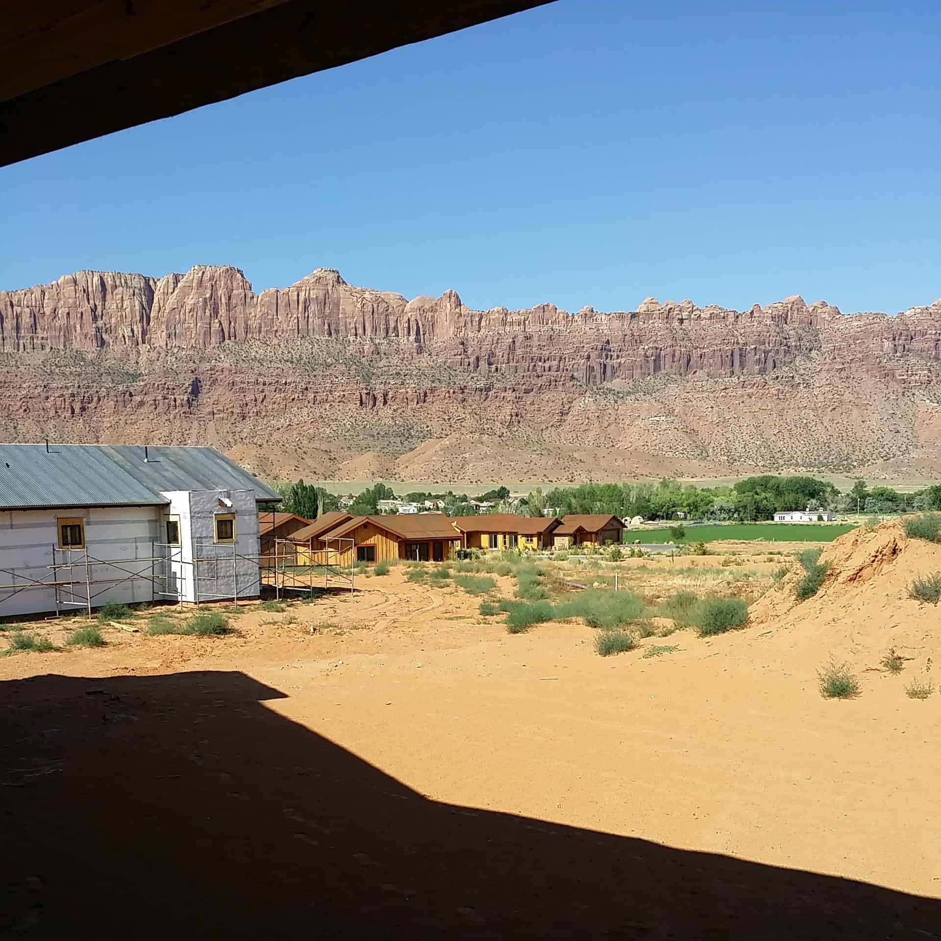
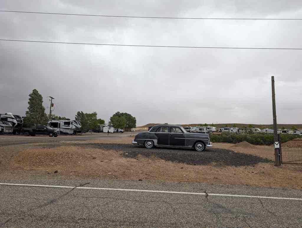
Photos from a hiking trip to Arches National Park with Olga Zubova de Rubio and Chris Mosbacker, we drove down from Salt Lake, hiked all the trails and drove back all in one day.
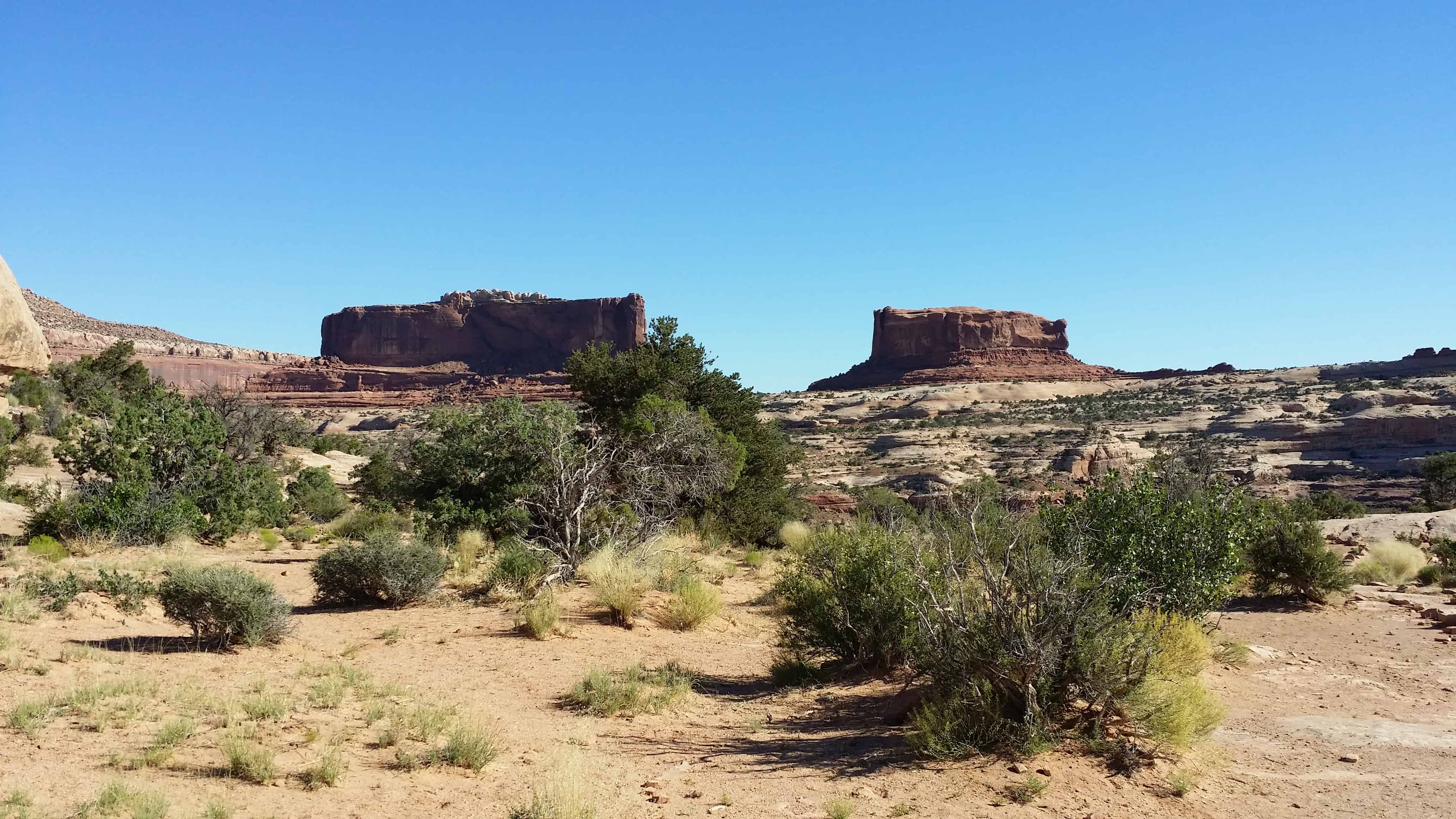
From here you have an excellent view of the Monitor and Merrimac Buttes to the northeast. These prominent land forms tower 600 feet above their Navajo sandstone base. They can be seen from many points as you travel along the highway.
The Monitor and Merrimac Buttes were named after the Civil War ironclad ships of the same names. If you look at a likeness of the old ships, their shapes bear a striking resemblance to these two buttes. The Merrimac (the large rock on your left) was the Confederate ship, called the “Virginia” by the southern forces. The Monitor (on the right) was the Union ship sent to destroy the Merrimac. The resulting sea battle changed maritime warfare forever. Long after both ships lie on the sea bottom, their rock counterparts remain locked in perpetual battle.
The Monitor and Merrimac Buttes are composed of Entrada sandstone. (This is the same rock layer that forms many of the arches in Arches National Park.) This Entrada sandstone is composed of three “members,” or components — Dewey Bridge, Slickrock and Moab Tongue. The different “members” of the Entrada layer erode at varying rates. Specifically, the softer Dewey Bridge member erodes more quickly, causing the Slickrock cliffs to collapse. This process has created the Monitor and Merrimac Buttes, as well as other towering monoliths in the area.
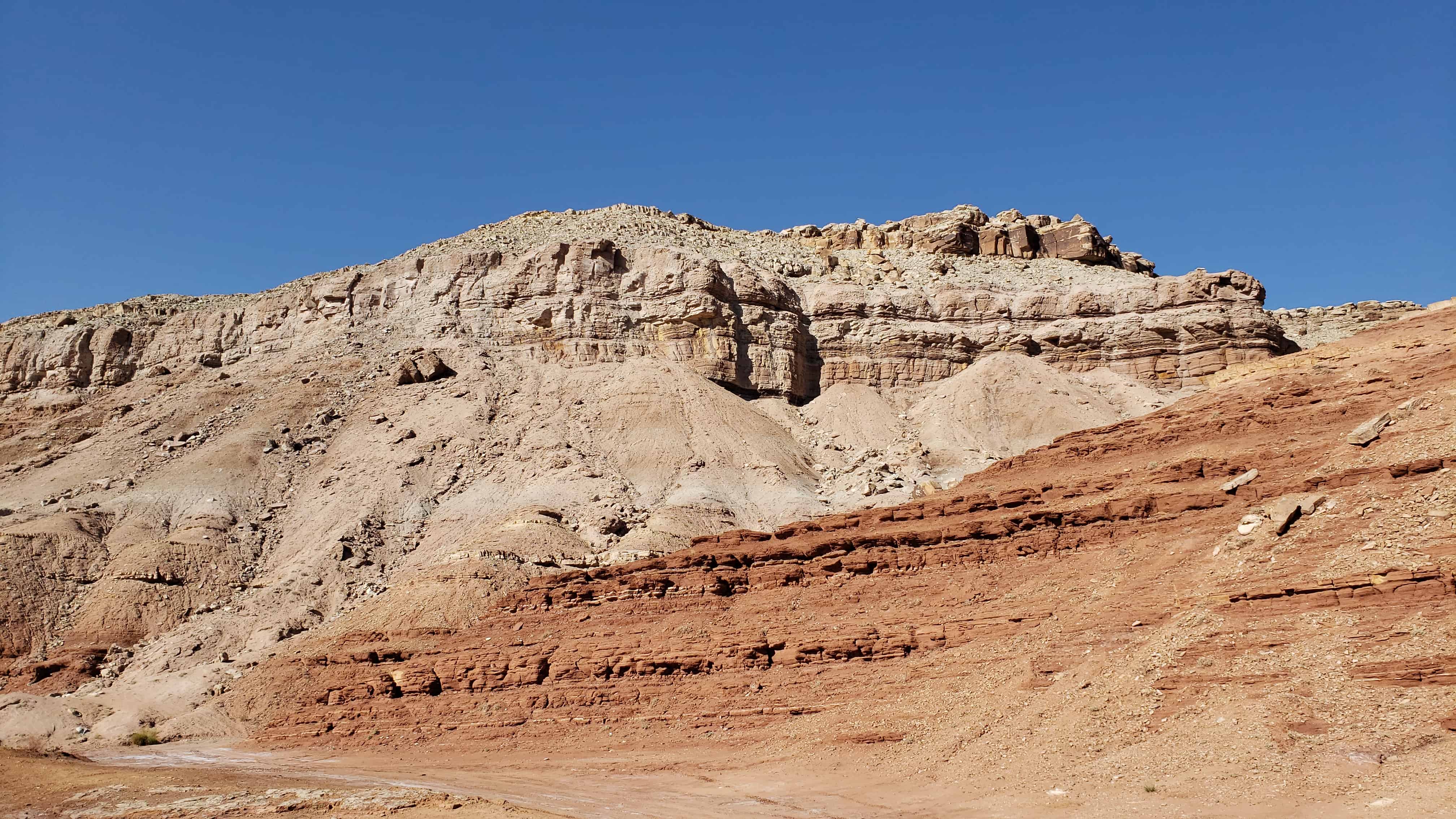
Geological forces have created the stunning landforms that we enjoy today.
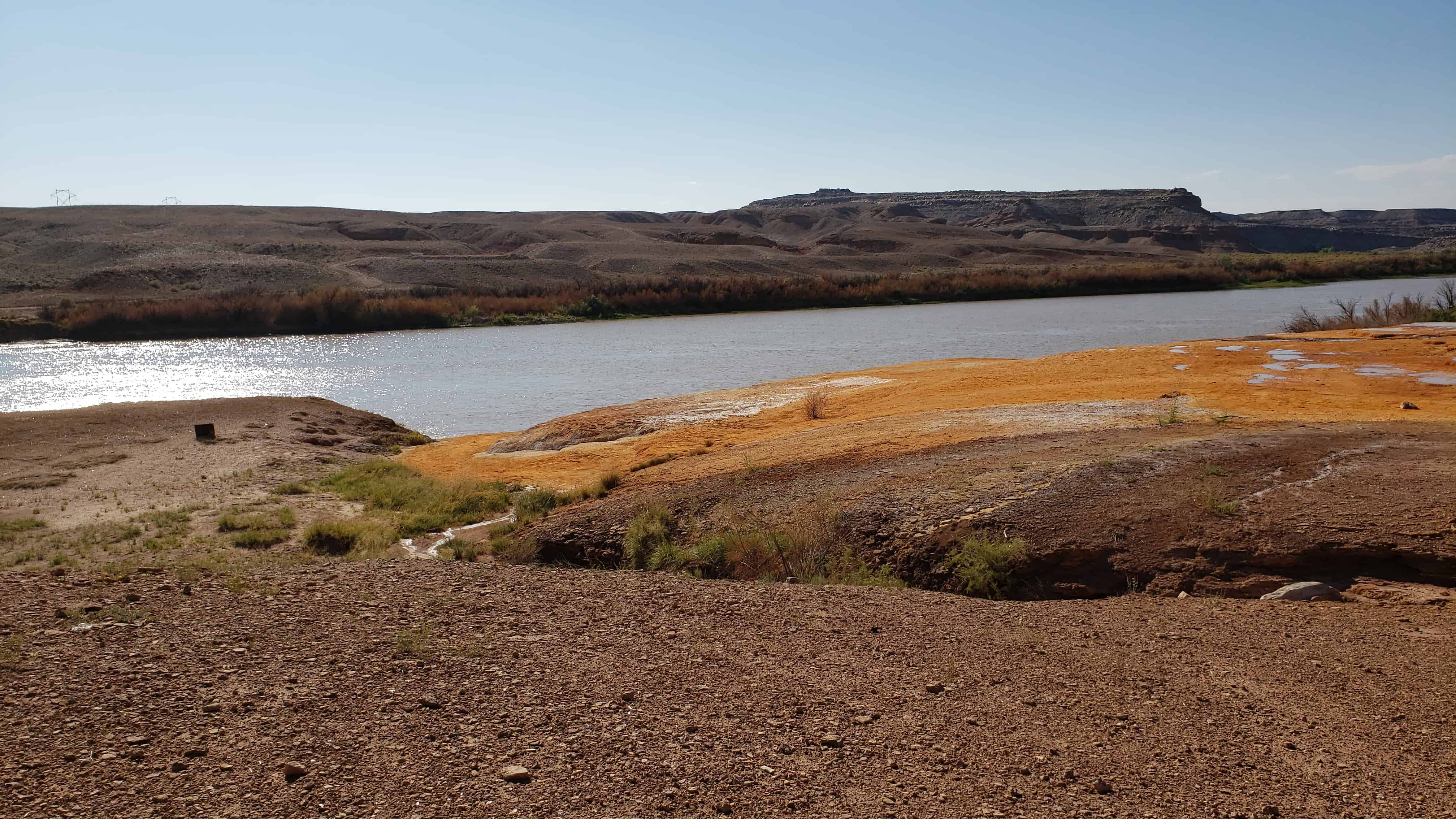
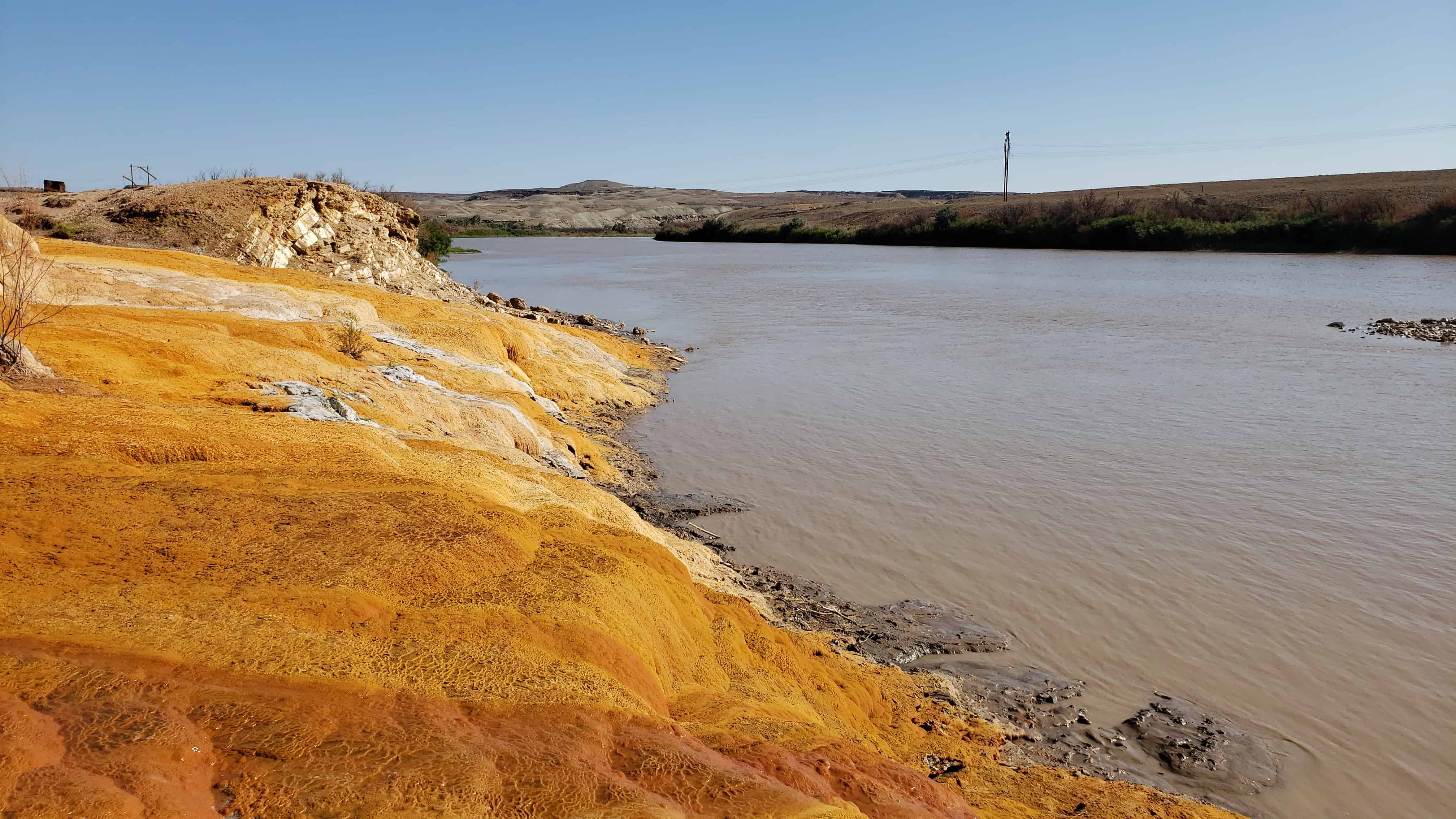
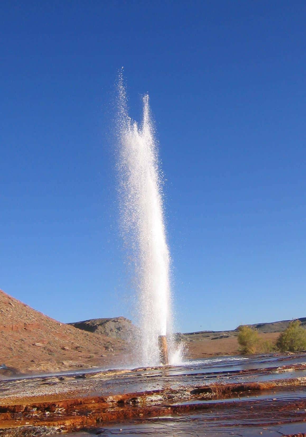
From Wikipedia: Crystal Geyser is located on the east bank of the Green River approximately 4.5 miles downstream from Green River, Utah. It is a rare example of a cold water carbon dioxide driven geyser; geothermal activity does not play a role in the activity of the geyser. The ground water near the geyser has significant quantities of dissolved carbon dioxide, along with substantial underground gas accumulations in the surrounding area. Saturation of the aquifer with CO2 creates enough pressure to force groundwater through the geyser and out on to the surface.
The geyser erupts sometimes to a height of 40 meters or more. During 2005, a study of the timing of the eruptions found them to be bimodal. About 66% of eruptions in the study occurred about 8 hours after the previous eruption, and the rest about 22 hours after. The geyser erupts for an average of one hundred minutes a day, with eruptions either lasting 7–32 minutes, or 98–113 minutes. The bimodal distribution of eruptions is not a well-understood pattern, but is found in other geysers, both cold-water and otherwise.
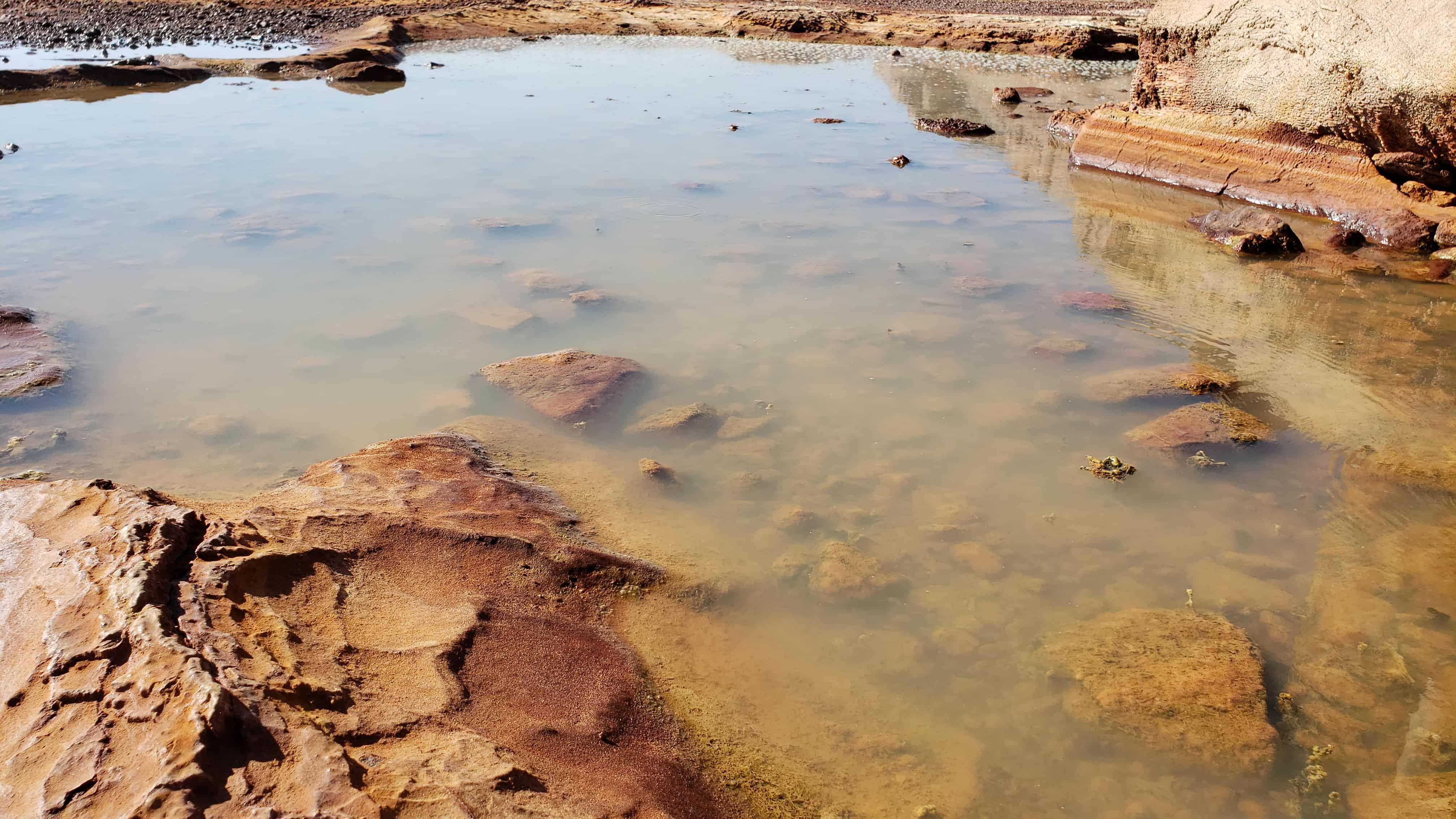
Between eruption events, the water level is approximately seventeen feet below the surface of the geyser—at the level of the water table. In the preface to an eruption, water surfaces, fills the pond around the geyser, and begins to bubble. Bubbling events occur with increasing frequency in the time leading up to an eruption, but are not constant; bubbling events last for a few minutes, with a few minutes of calm in between. Bubbling events at the main geyser also frequently alternate with bubbling events at natural side-pools.
The current form of the geyser was created by an exploration well drilled in 1935 in attempt to locate oil. The well was originally 800 metres deep, but an earlier owner of the land partially filled it in, meaning that the well is now only a couple hundred metres deep.
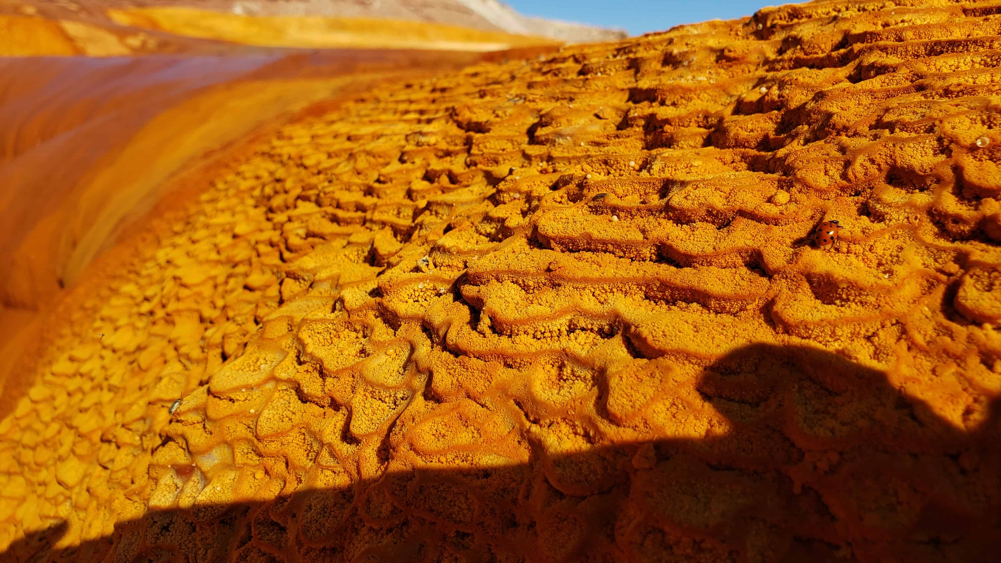
The area surrounding the modern geyser is covered in a thick layer of orange travertine. Near the river, adjacent to the modern orange travertine, are substantial deposits of white travertine, perhaps reflecting the original depositional environment of the geyser (before the exploratory well was drilled.)
The first written record of Crystal Geyser comes from the report of the Powell Geographic Expedition of 1869, July 13, 1869.
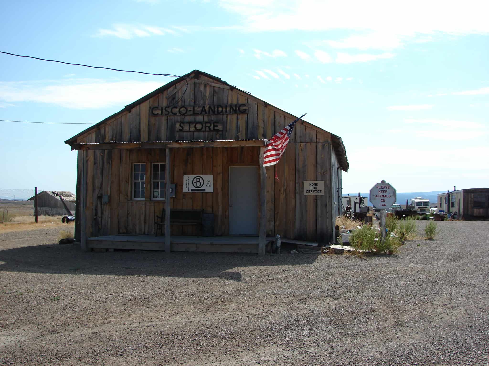
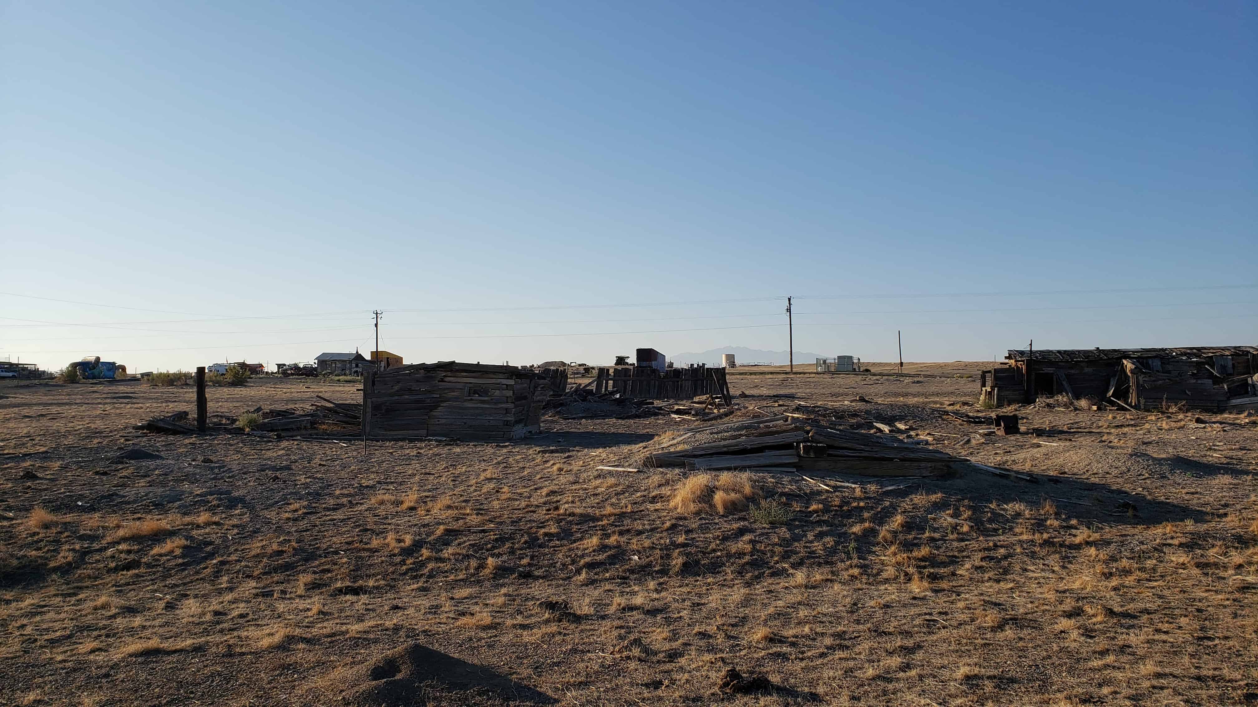
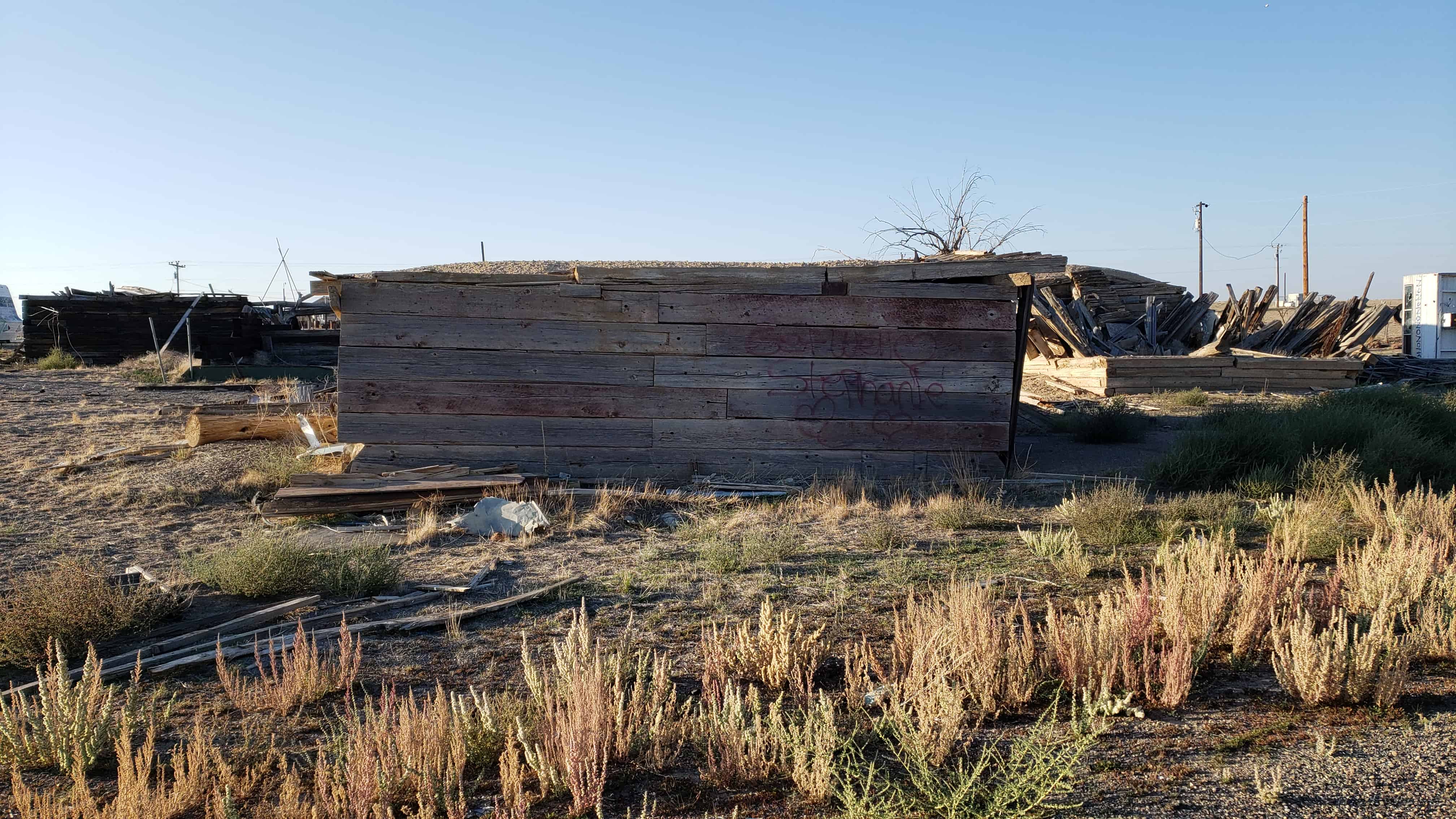
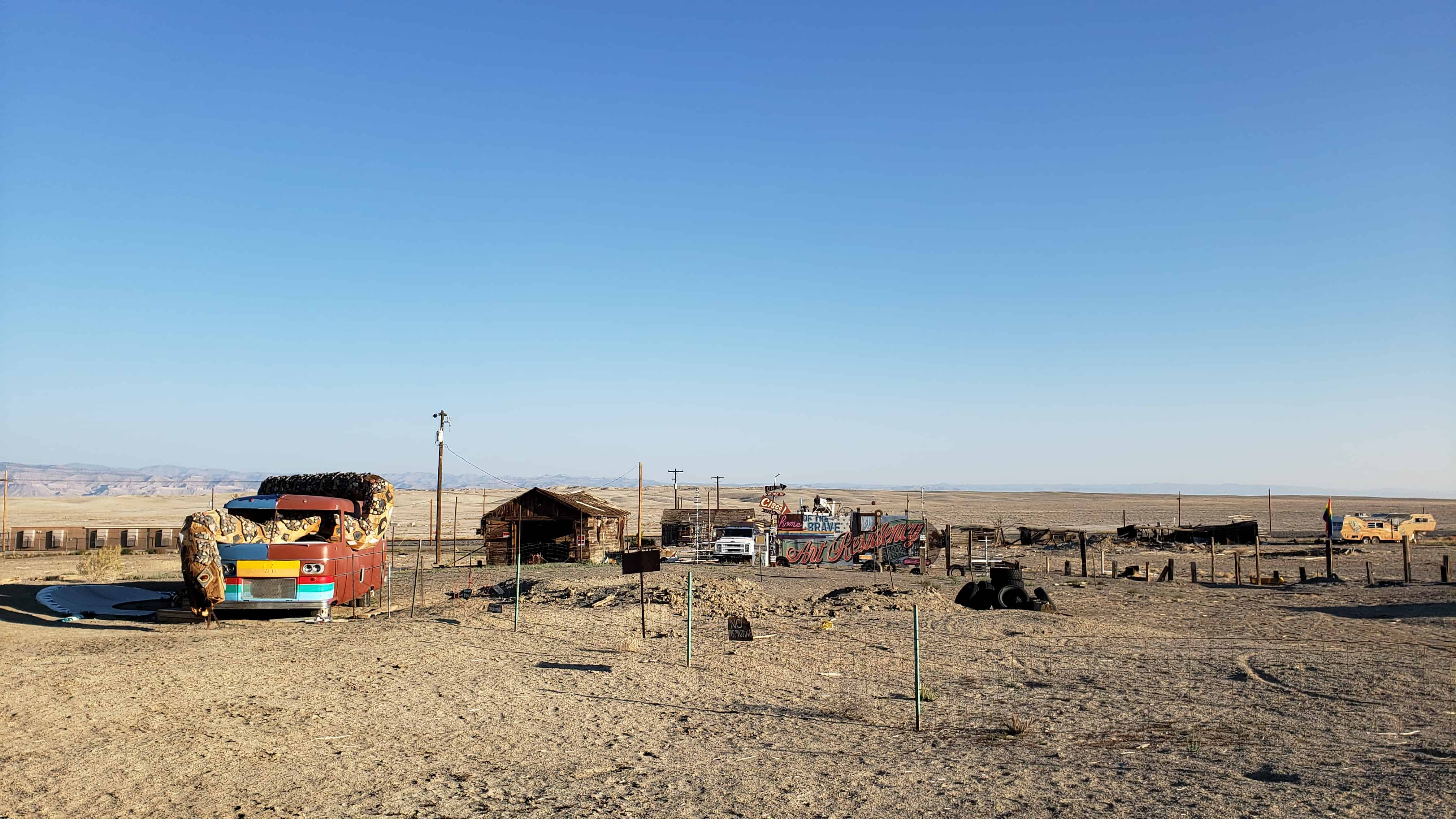
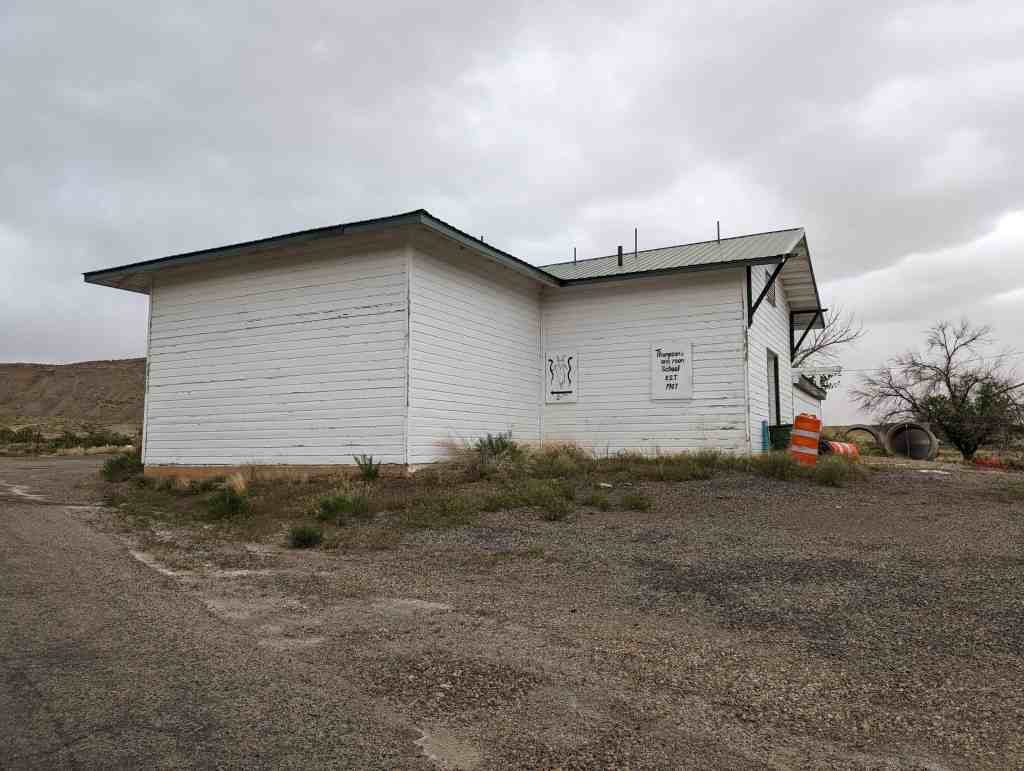
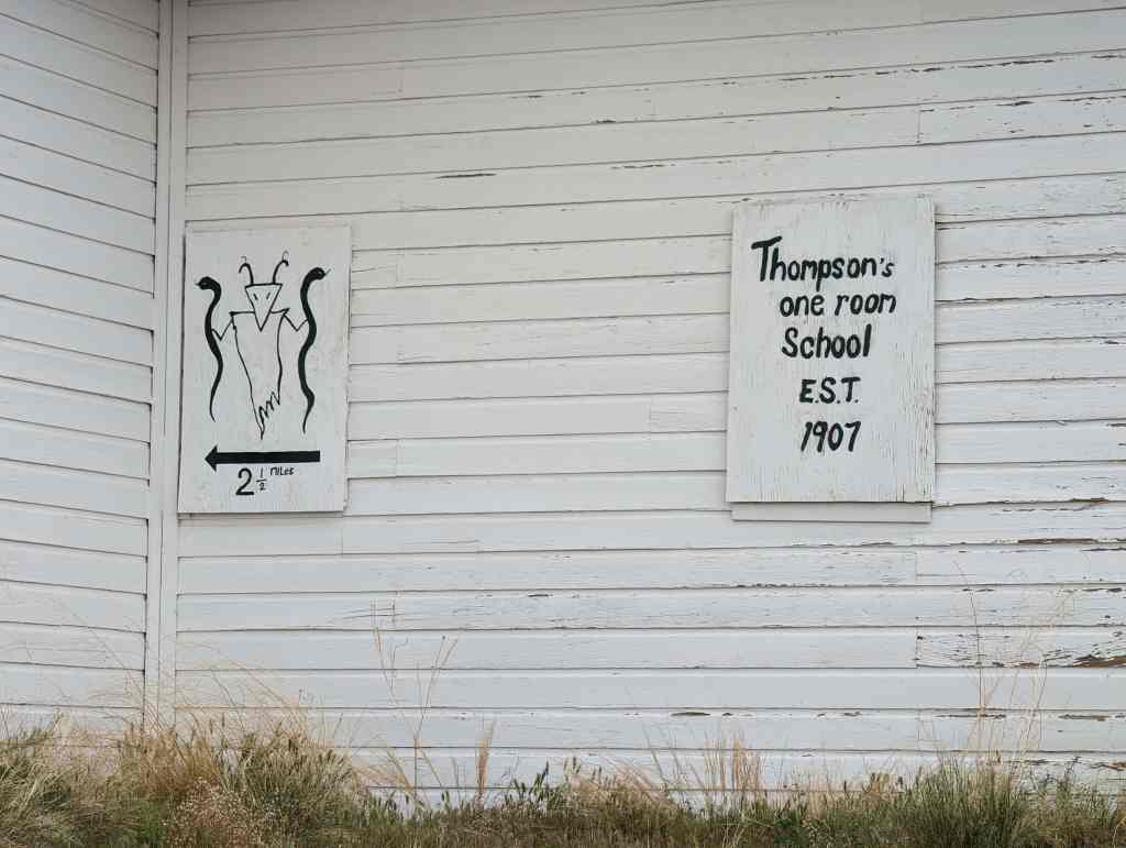
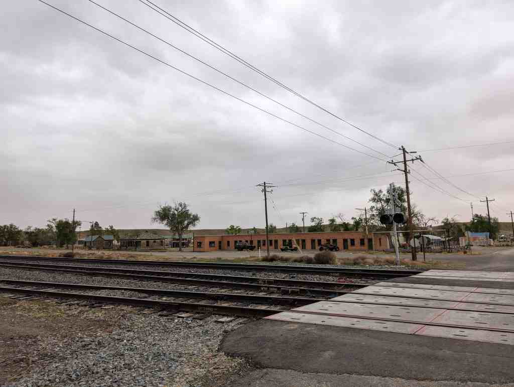
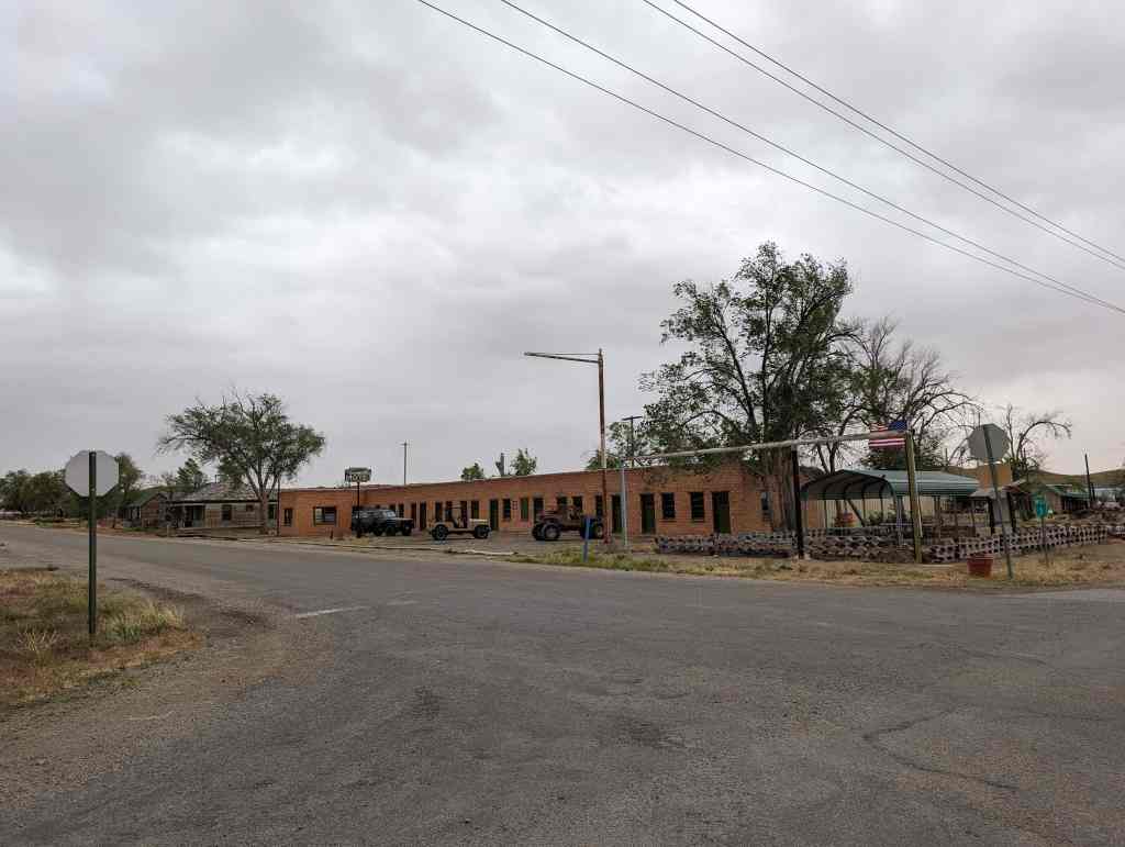
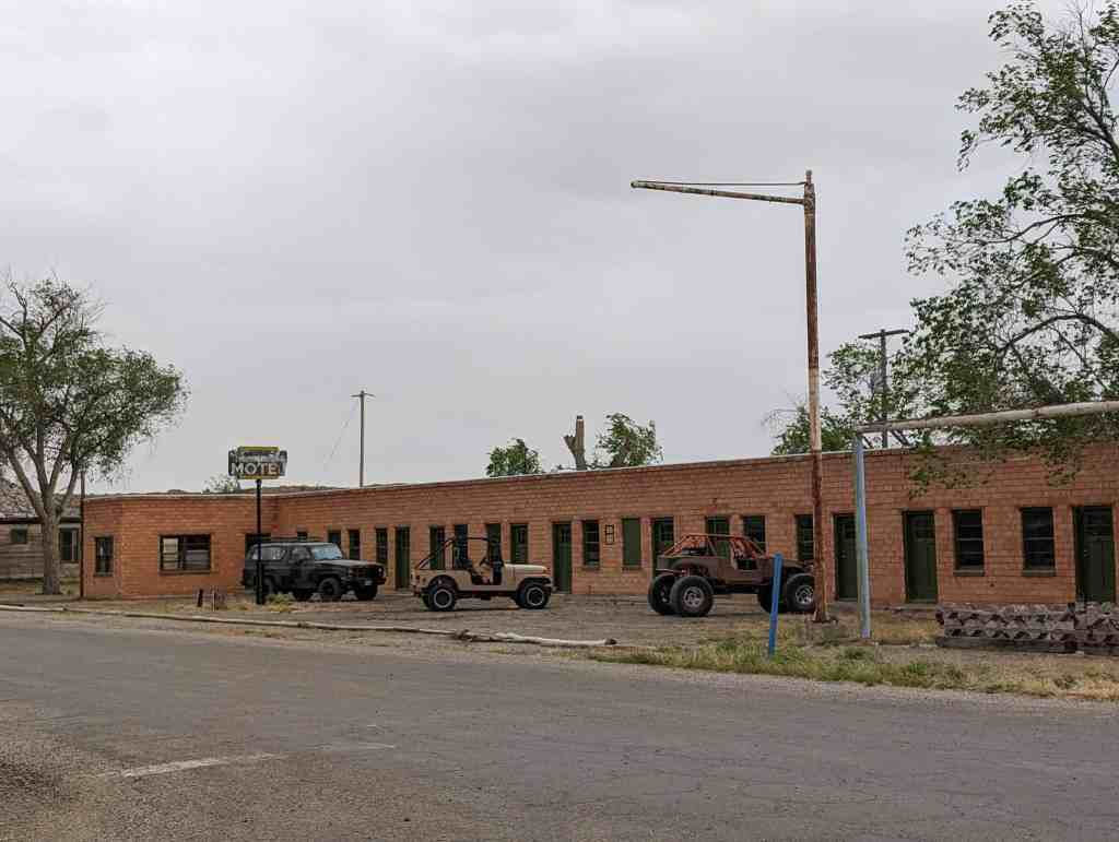
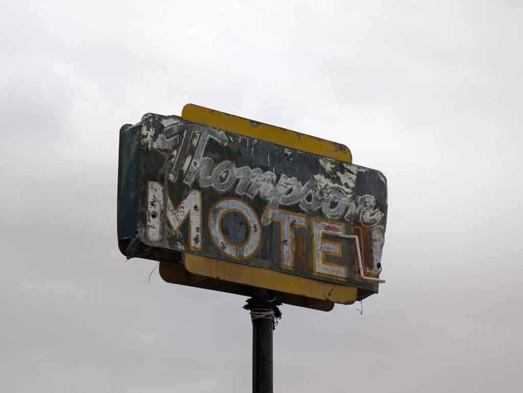
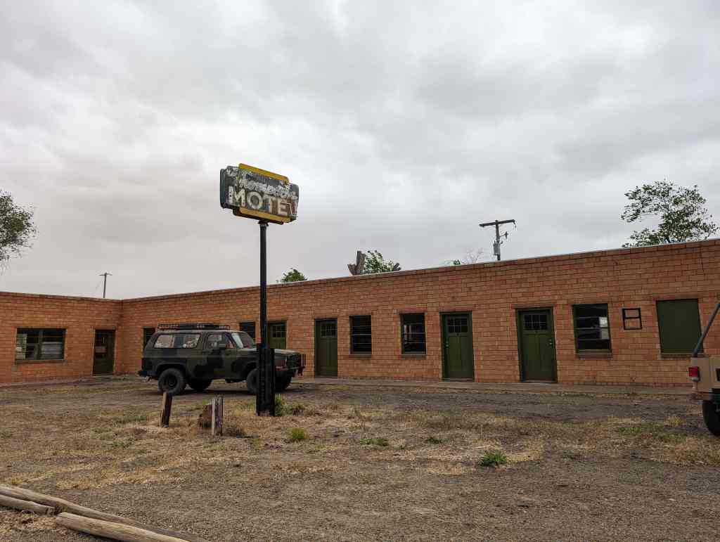
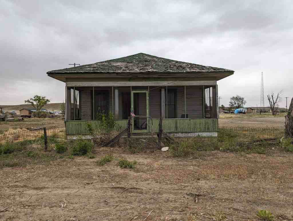
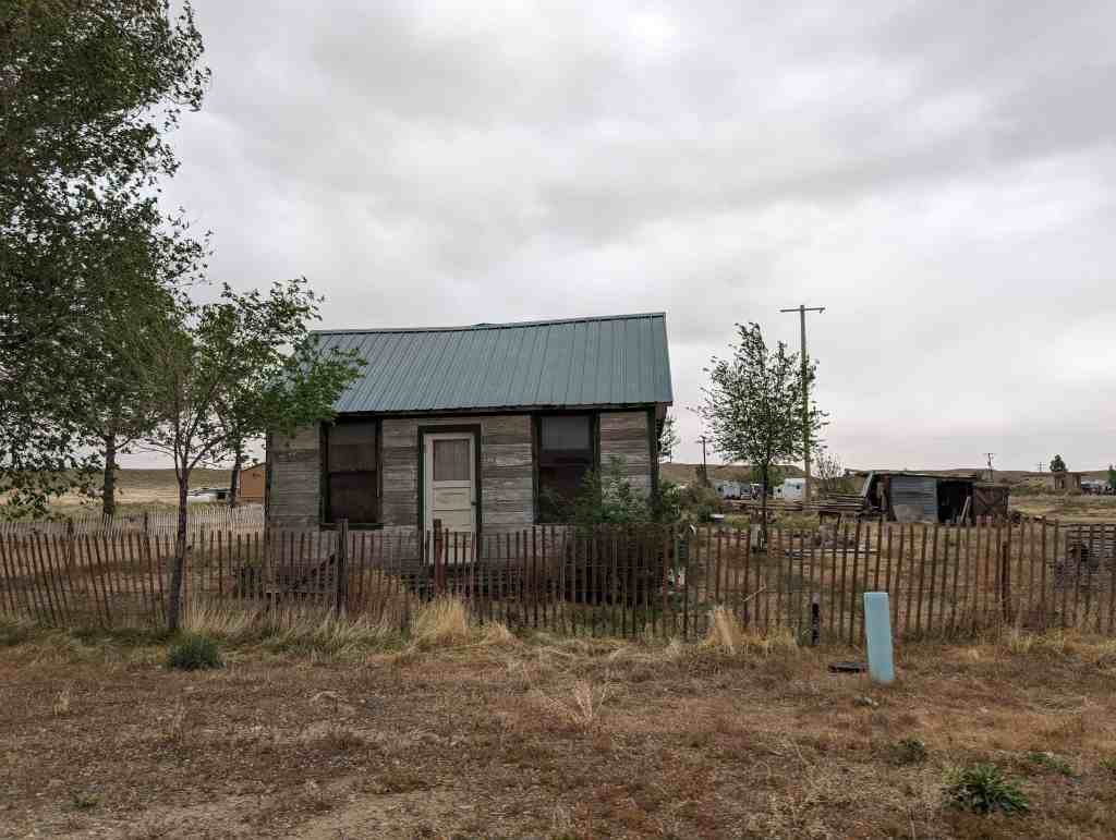
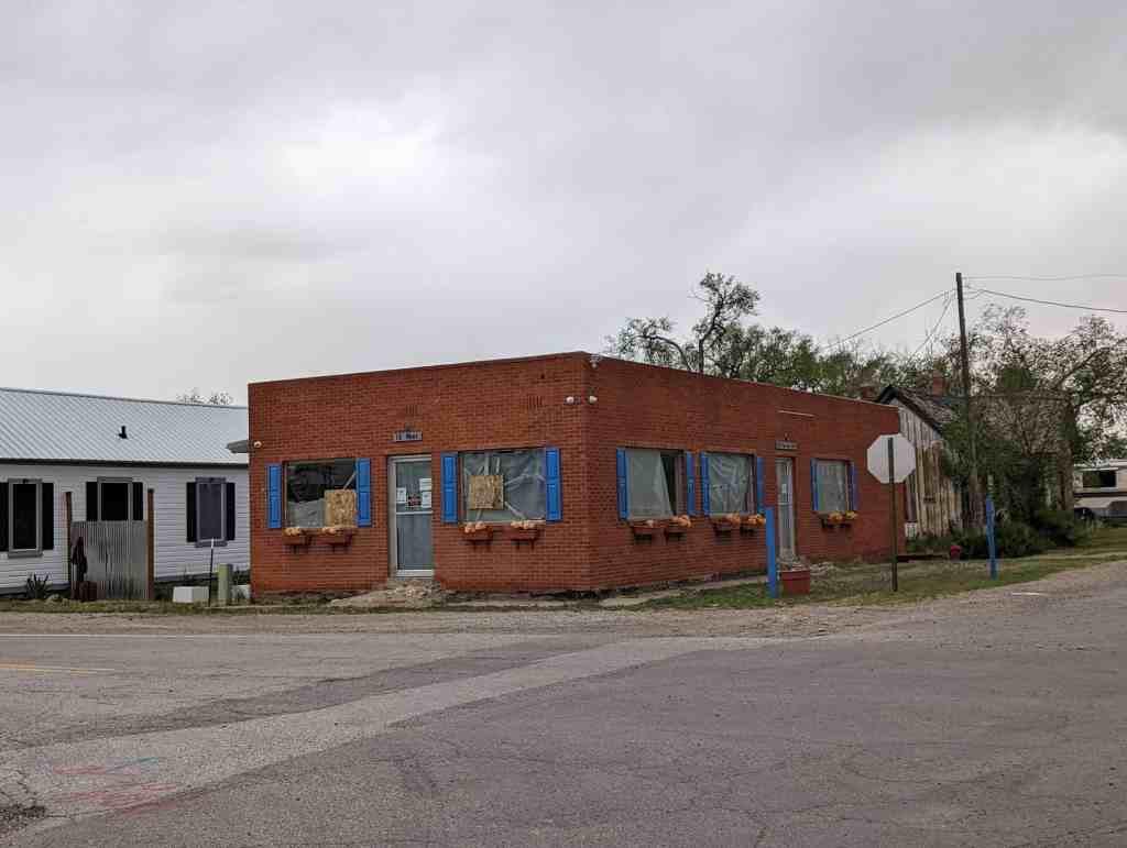
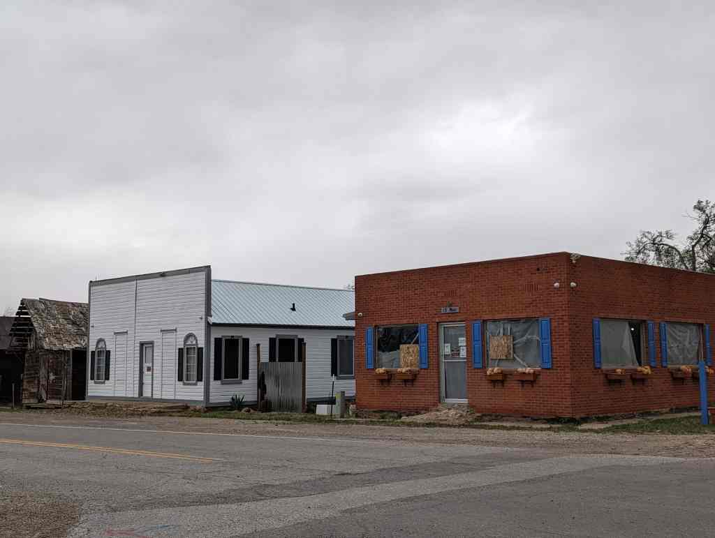
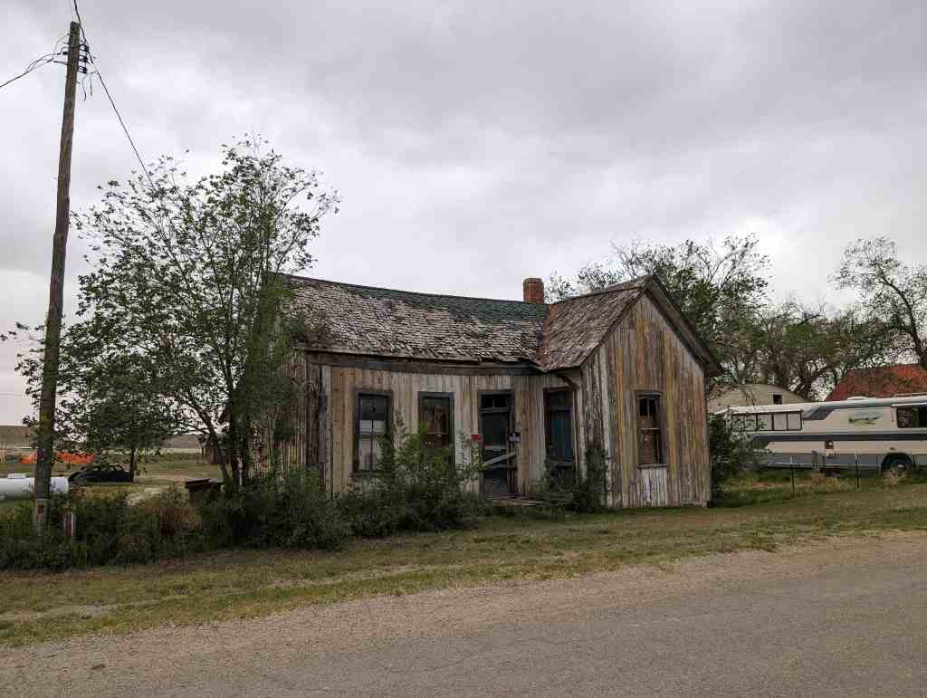
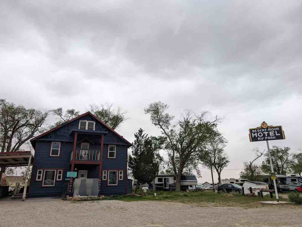
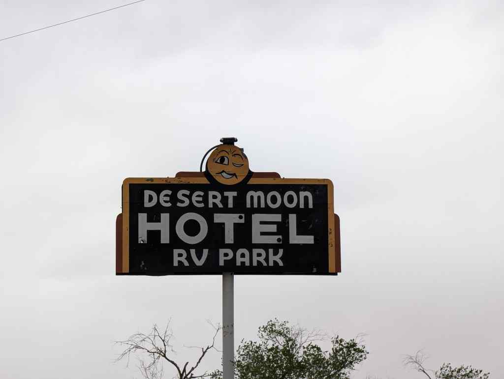
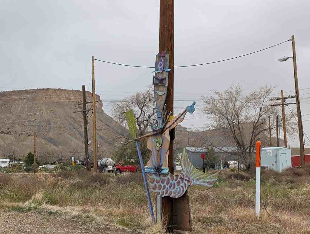
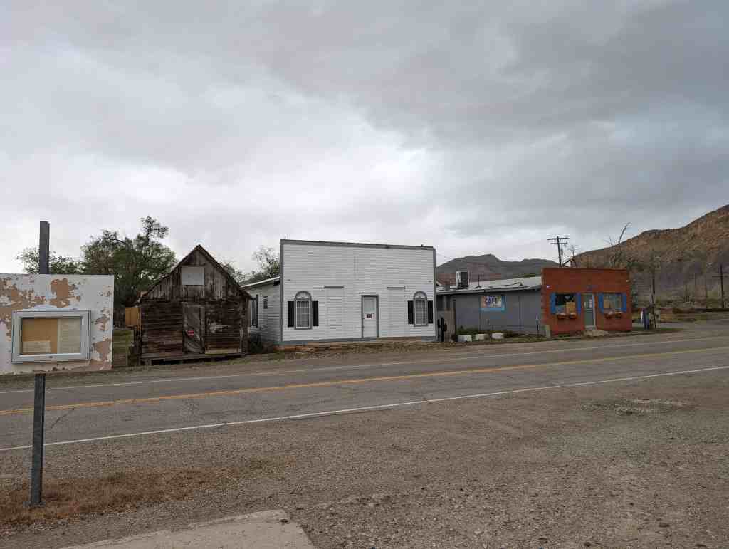
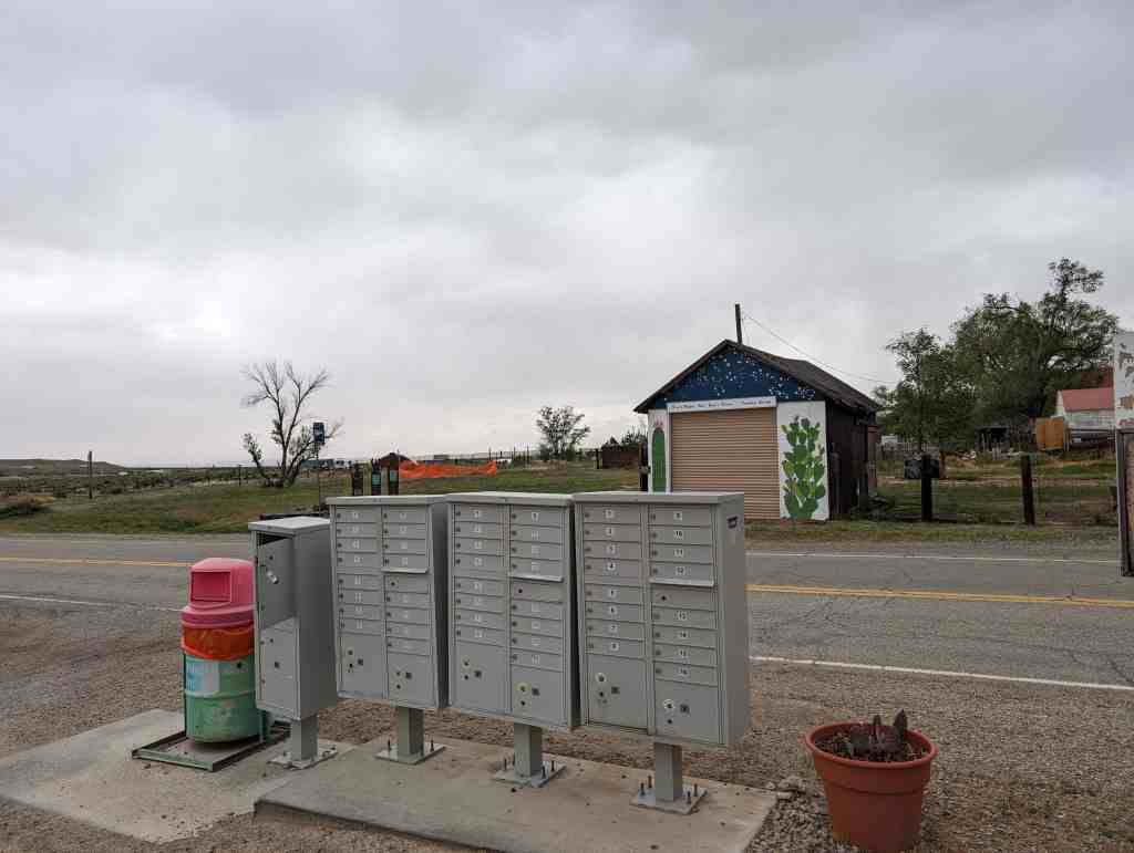
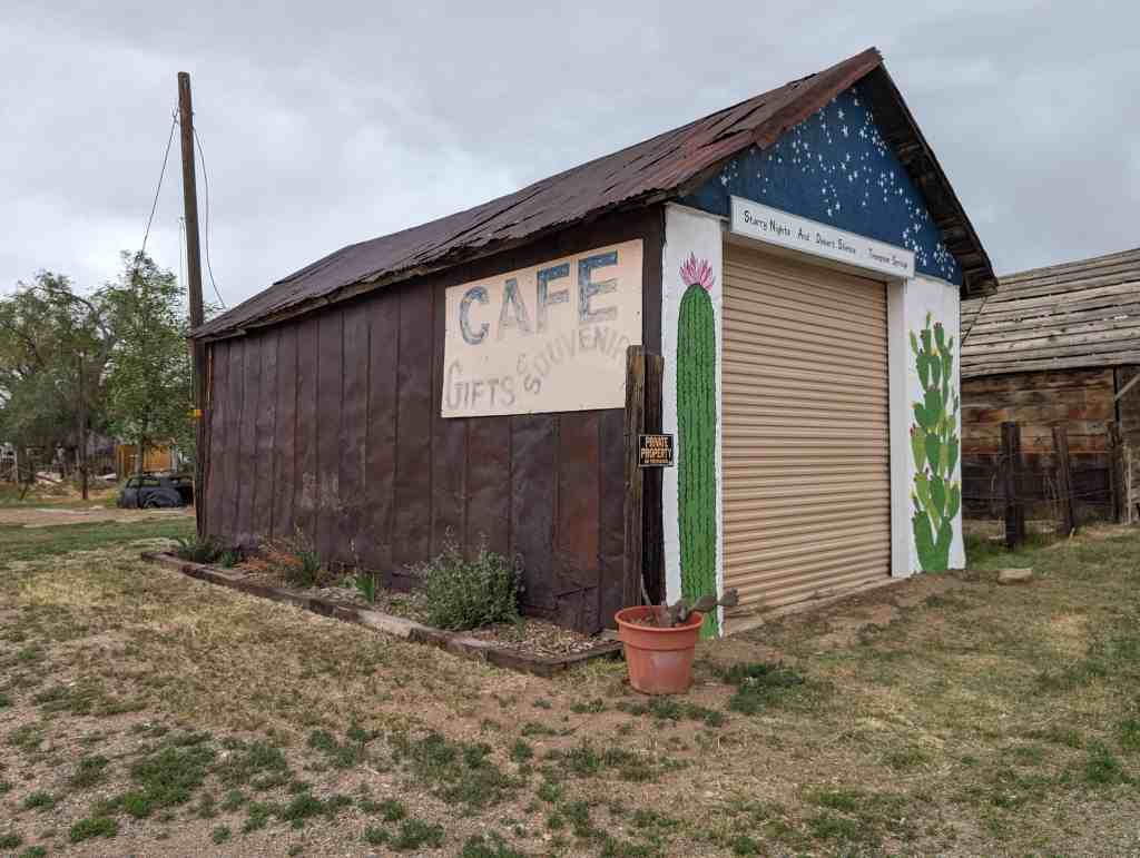
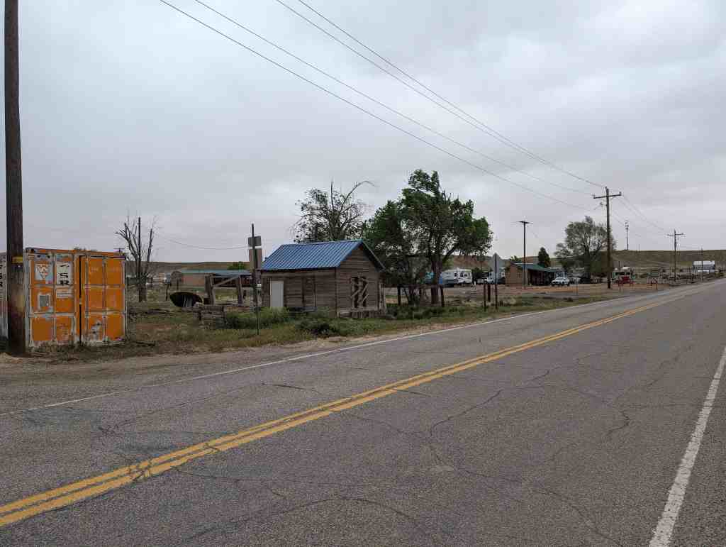
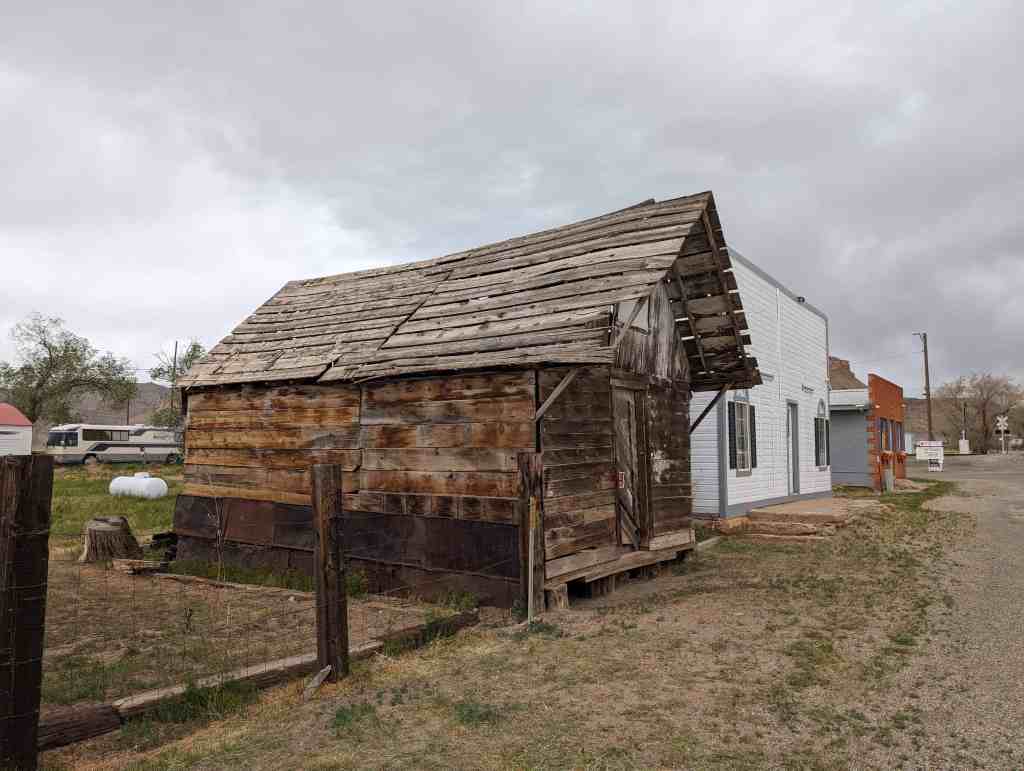
Cisco is a ghost town in Grand County near the junction of State Route 128 and Interstate 70. At one time the town served as a saloon and water-refilling station for the Denver and Rio Grande Western Railroad. The town’s decline coincided with the demise of the steam locomotive. The town site contains many relics of a typical old west railroad town. Cisco survived long enough into the 20th century to be assigned a ZIP Code, 84515.Unfortunately for history and railroad buffs, the ghost town’s easy access and proximity to the freeway have lured vandals; the relics are heavily damaged and the town is littered with abandoned vehicles.