• About JacobBarlow.com
  • Cemeteries in Utah
  • D.U.P. Markers
  • Doors
  • Exploring Utah Email List
  • External and Referral Links
  • Geocaching
  • Historic Marker Map
  • Movie/TV Show Filming Locations
  • Oldest in Utah
  • Other Travels
  • Photos Then and Now
  • S.U.P. Markers
  • U.P.T.L.A. Markers
  • Utah Cities and Places.
  • Utah Homes for Sale
  • Utah Treasure Hunt

JacobBarlow.com

~ Exploring with Jacob Barlow

JacobBarlow.com

Tag Archives: Hole-in-the-Rock

Bluff Fort Historic Park

23 Sunday Apr 2017

Posted by Jacob Barlow in Uncategorized

≈ 1 Comment

Tags

Bluff, Forts, historic, Historic Buildings, Historic Markers, Hole-in-the-Rock, San Juan County, utah

2017-03-12 15.26.35

The site of Bluff Fort in Bluff is full of historic buildings, plaques and plenty to learn about for hours.

Click this map from their page to go see what they have put together there:

thefort


Some of the things to see include:

Site of Kumen Jones Home – First Stone Home in Bluff

2017-03-12 15.26.49

2017-03-12 15.27.19

2017-03-12 15.27.01
2017-03-12 15.26.35
2017-03-12 15.30.08


Perkins Cabin

2017-03-12 15.27.54
2017-03-12 15.27.46
2017-03-12 15.27.41
2017-03-12 15.27.32

Lyman Cabin

2017-03-12 15.28.06
2017-03-12 15.28.14

Cabin Replicas

2017-03-12 15.28.36
2017-03-12 15.28.45
2017-03-12 15.28.47

John Taylor Monument

2017-03-12 15.29.07
2017-03-12 15.28.55

Hole-in-the-Rock Pioneers Memorial

2017-03-12 15.29.14

2017-03-12 15.29.21

Fort Montezuma

2017-03-12 15.30.36
2017-03-12 15.30.48
2017-03-12 15.30.52
2017-03-12 15.30.54
2017-03-12 15.30.59

San Juan Co-Op

2017-03-12 15.32.41

Bluff, Utah

23 Sunday Apr 2017

Posted by Jacob Barlow in Uncategorized

≈ 3 Comments

Tags

Bluff, Hole-in-the-Rock, San Juan County, utah

  • 2017-03-12 15.19.36

Bluff Posts:

  • Bluff Fort Historic Park
  • Comb Ridge
  • Hobbs Wash
  • Hyrum Corey Perkins House
  • The San Juan Mission
  • Twin Rocks Café

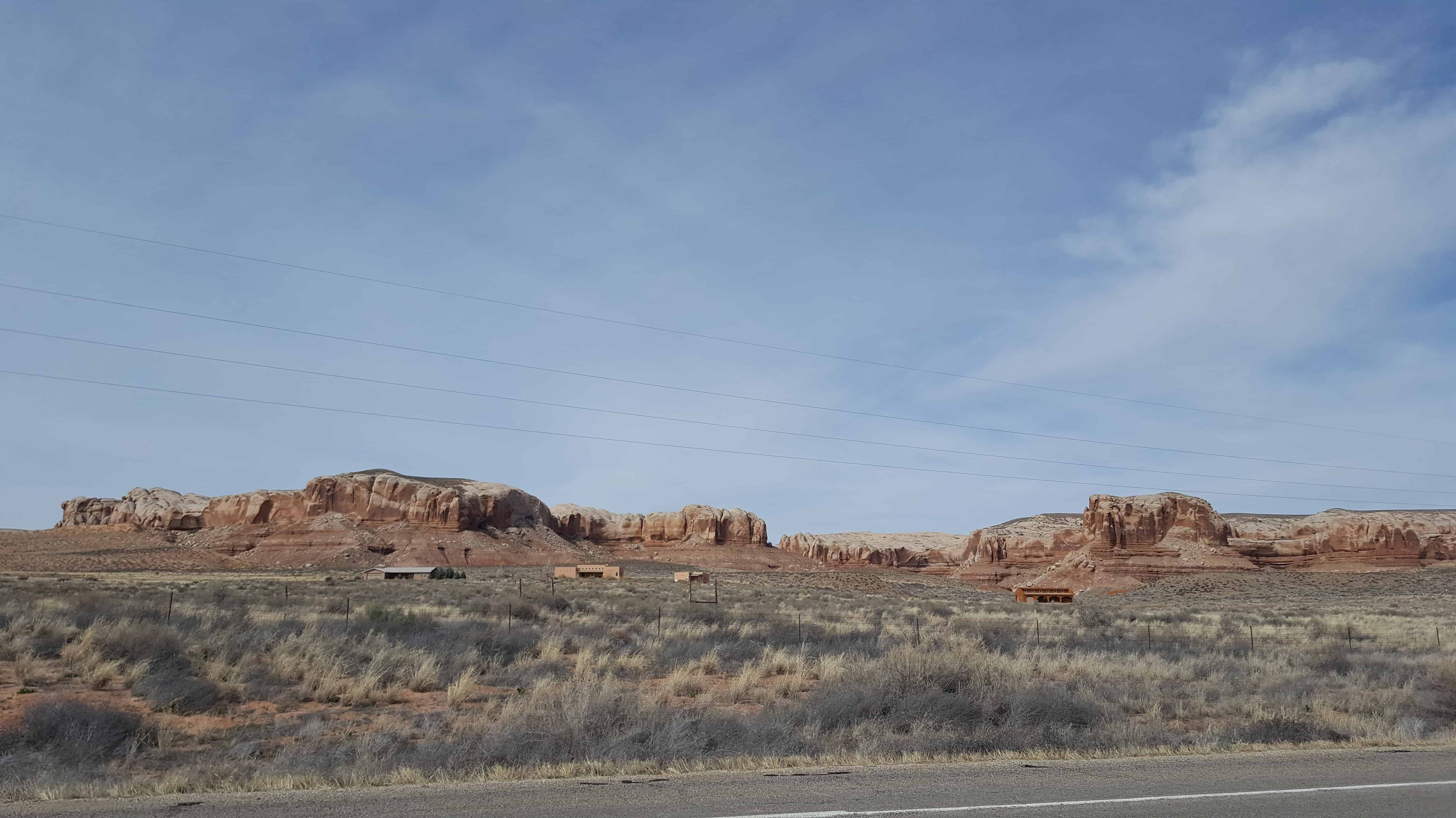
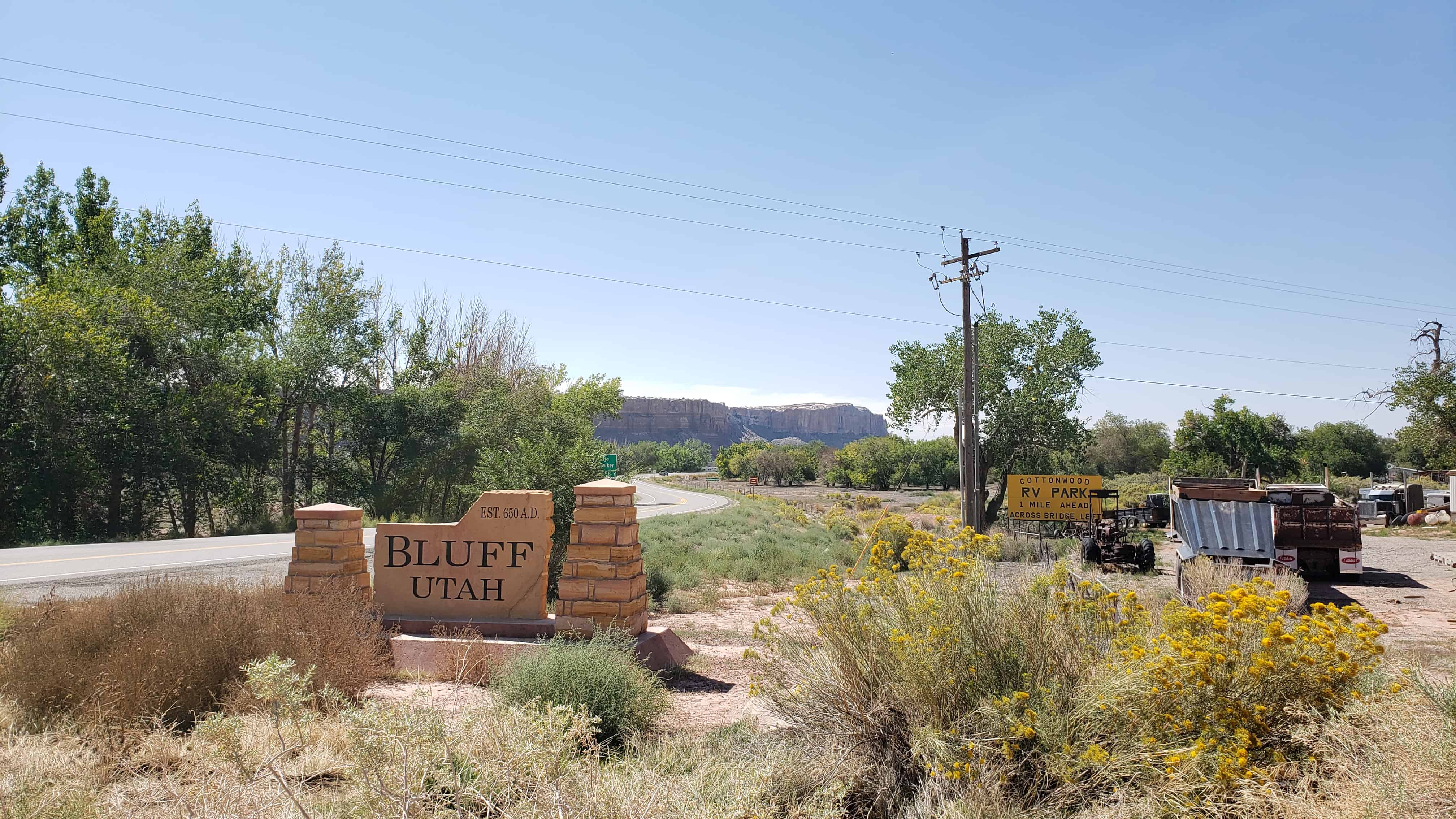
Under the direction of John Taylor, Silas S. Smith and Danish settler Jens Nielson led about 230 Mormons on expedition to start a farming community in southeastern Utah. After forging about 200 miles of their own trail over difficult terrain, the settlers arrived on the site of Bluff in April 1880. (The trail followed went over and down the “Hole In the Rock”, which now opens into one of the tributaries of Lake Powell.) The town was named for the bluffs near the town site. The town’s population had declined to seventy by 1930 but rebounded during a uranium prospecting boom in the 1950s. With the uranium decline in the 1970s Bluff again declined and now remains a small town with about 300 residents.

  • 2017-03-12 15.20.08
  • 2017-03-12 15.19.54

The San Juan Mission

23 Sunday Apr 2017

Posted by Jacob Barlow in Uncategorized

≈ 1 Comment

Tags

Bluff, historic, Historic Buildings, Historic Markers, Hole-in-the-Rock, San Juan County, SUP, utah

  • 2017-03-12 15.35.27

Bluff was the first settlement of the white man in San Juan County and its first county seat. It was founded April 6, 1880, by the San Juan Mission “called” by the L.D.S Church to establish friendly relations with the Indians. A small band of mission scouts found good farm land at this location in 1879 and it was resolved to settle here. Late in October 250 colonists from several southwestern Utah communities began the migration via the Hole-in-the-Rock shortcut across the Colorado River. Contrary to expectations this route proved almost impassable and after nearly six months of the most strenuous effort the exhausted company reached this site. No pioneering band ever overcame greater difficulties in establishing and maintaining a home. The turbulent river proved uncontrollable and for 40 years hostile Indians and various types of white renegades threatened both life and property. In spite of hardships and personal sacrifice the missionaries remained steadfast to their calling until released by the Church. The San Juan Mission is an unexcelled example of the highest type of Pioneer endeavor.

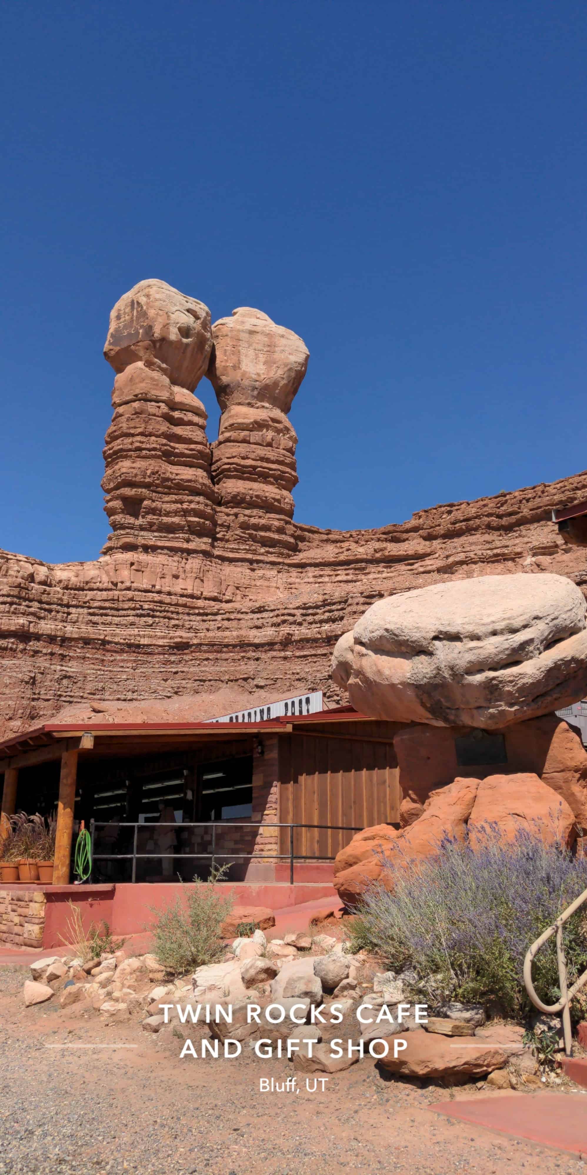
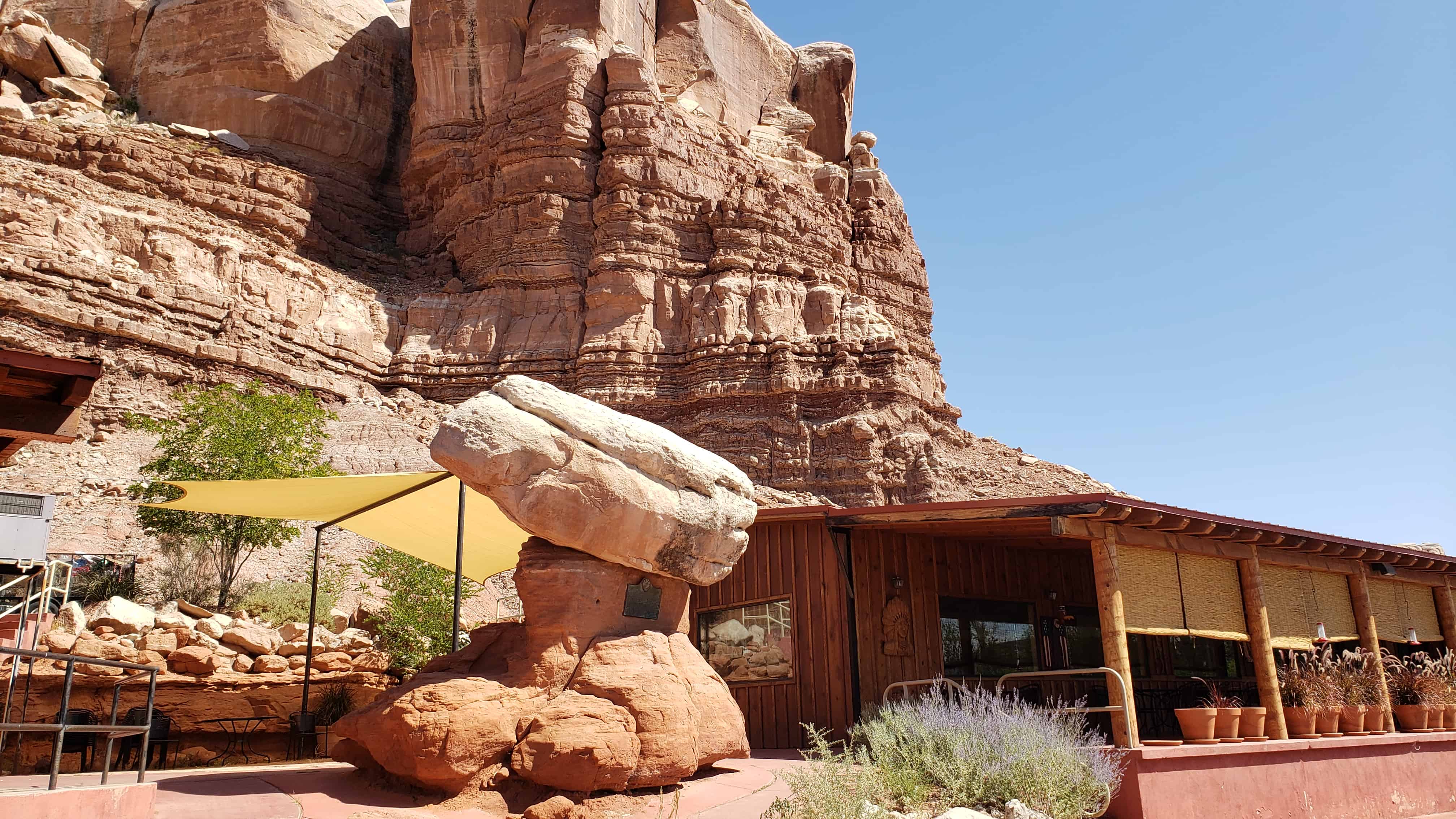
Erected by the National Society, Sons of Utah Pioneers – May 31, 1958
Note: This plaque is attached to a rock formation called “Sunbonnet Rock” due to its shape suggestive of a sunbonnet, and is often referred to by this name. It is located outside the Twin Rocks Café in Bluff, Utah.

This plaque is #L in the series of historic markers by the S.U.P. – See others on this page.

  • IMG_20170312_153722_489

Hyrum Corey Perkins House

23 Sunday Apr 2017

Posted by Jacob Barlow in Uncategorized

≈ 1 Comment

Tags

Bluff, historic, Historic Homes, Hole-in-the-Rock, NRHP, San Juan County, utah

2017-03-12 15.24.06

Hyrum Corey Perkins House

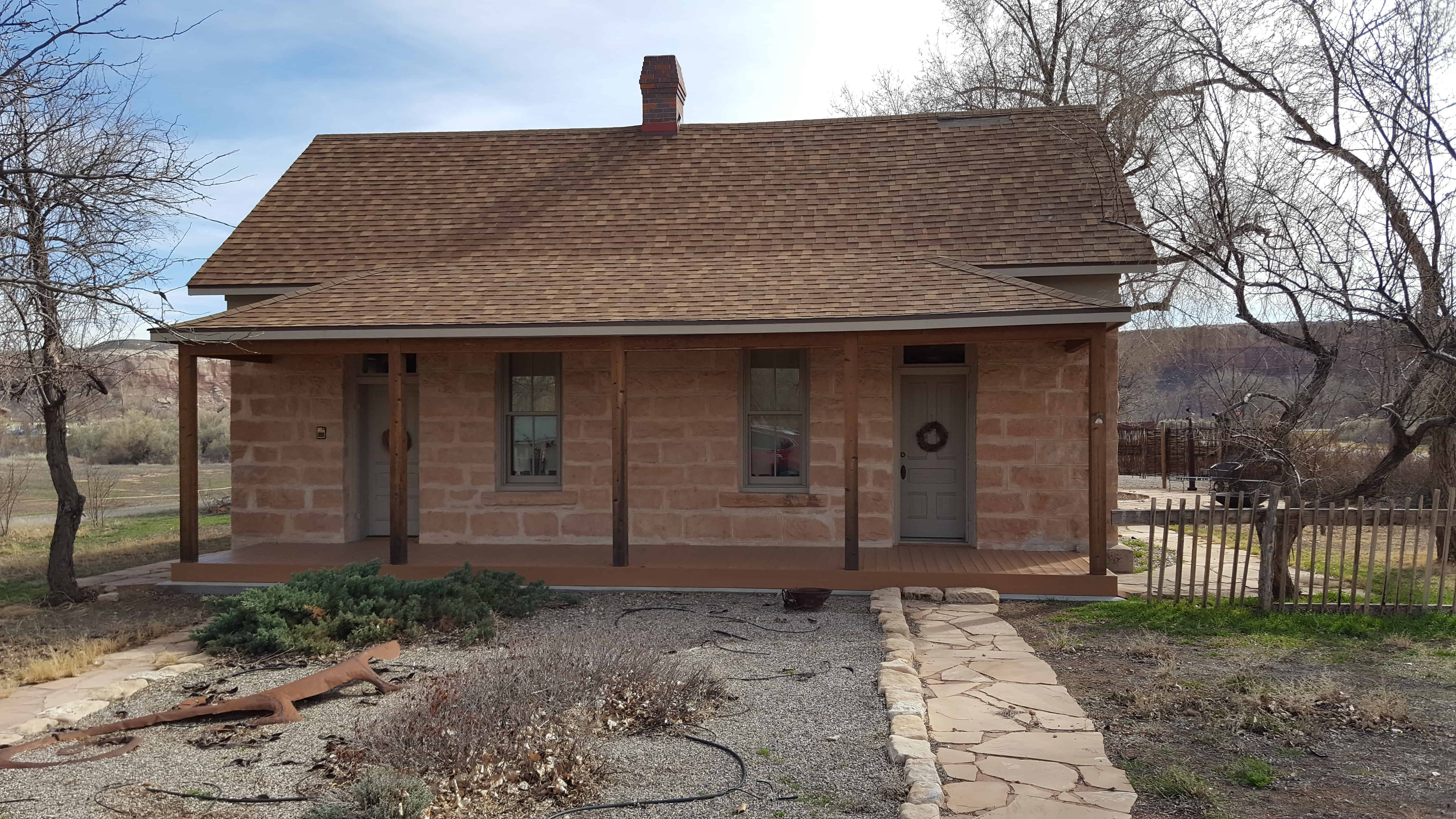
This small, one-story, gable-roofed, vernacular, double-cell type house was originally constructed in the 1890s, by Hyrum Corey Perkins.  H.C. Perkins was the son of Hyrum and Rachel Marie Perkins, who were original members of the pioneering Hole-in-the-Rock colonizing expeditions in southeastern Utah.  A log cabin was originally located on the lot, which was taken down when this double-cell house was built.  Retaining its integrity, the house contributes to the architecture and community of historic Bluff.

2017-03-12 15.25.03

2017-03-12 15.25.01

2017-03-12 15.24.45

2017-03-12 15.24.35

2017-03-12 15.24.25

Follow Jacob

Follow Jacob

Social and Other Links

BarlowLinks.com

Blog Stats

  • 880,780 hits

Recent Posts

  • 47 N Main St
  • Duet
  • Water Play
  • Victory Memorial
  • 3435 S West Temple

Archives


Loading Comments...