Tags
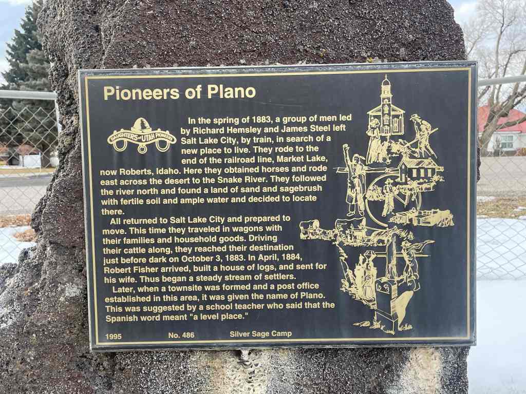
Pioneers of Plano
In the spring of 1883, a group of men led by Richard Hemsley and James Steel left Salt Lake City, by train, in search of a new place to live. They rode to the end of the railroad line, Market Lake, now Roberts, Idaho. Here they obtained horses and rode east across the desert to the Snake River. They followed the river north and found a land of sand and sagebrush with fertile soil and ample water and decided to locate there.
All returned to Salt Lake City and prepared to move. This time they traveled in wagons with their families and household goods. Driving their cattle along, they reached their destination just before dark on October 3, 1883. In April, 1884, Robert Fisher arrived, built a house of logs, and sent for his wife. Thus began a steady stream of settlers.
Later, when a townsite was formed and a post office established in this area, it was given the name of Plano. This was suggested by a school teacher who said that the Spanish word meant “a level place.”
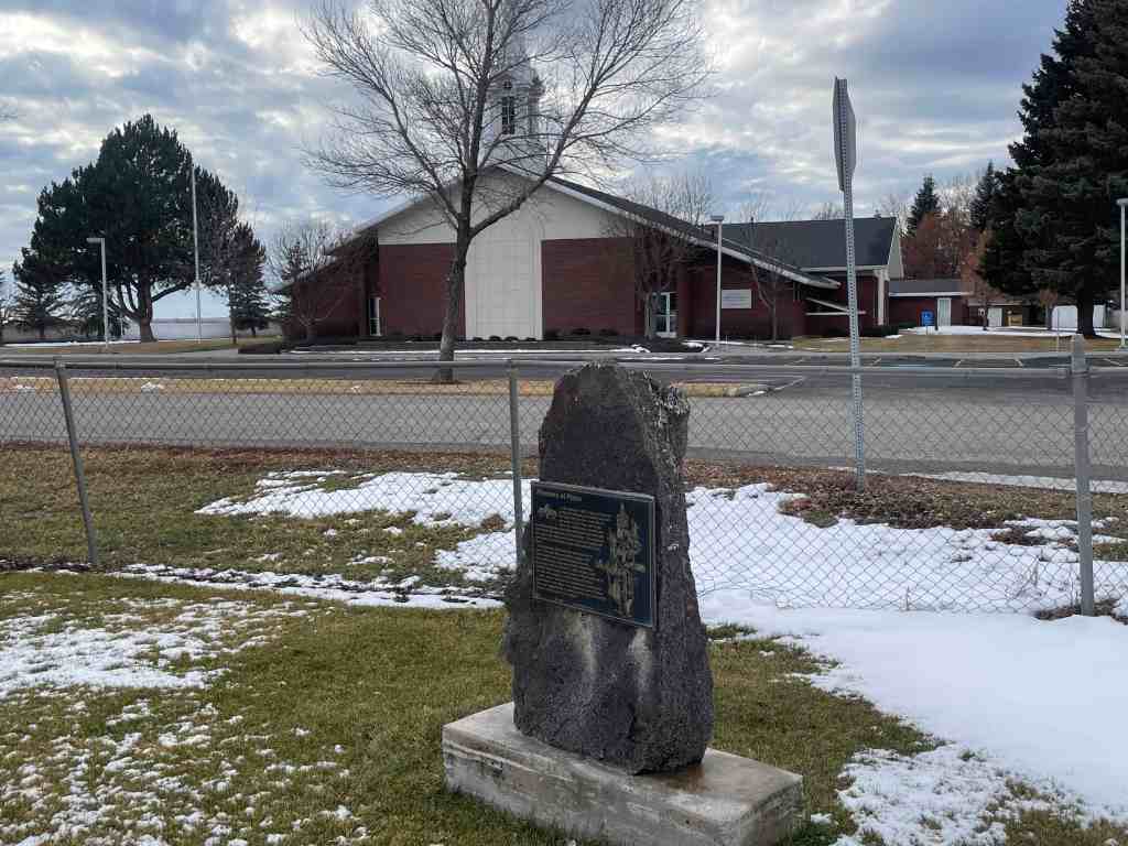
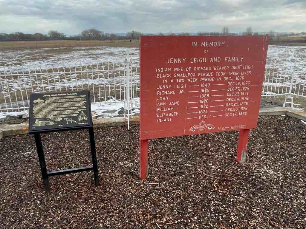
The above text is from the monument (Daughters of Utah Pioneers historic marker #486) located at 5980 North 5000 West in Rexburg, Idaho.
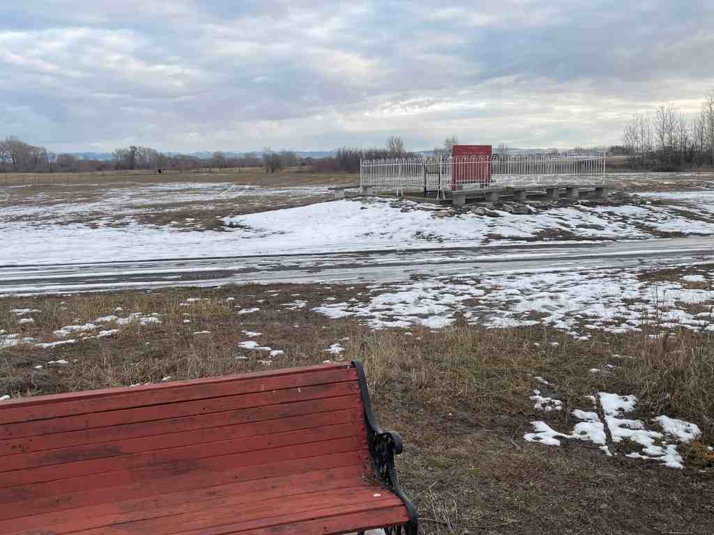
The photos below were submitted by Marshall Hurst: